The best running trails around Wolfsgraben
4.4
(540)
8,726
runners
278
runs
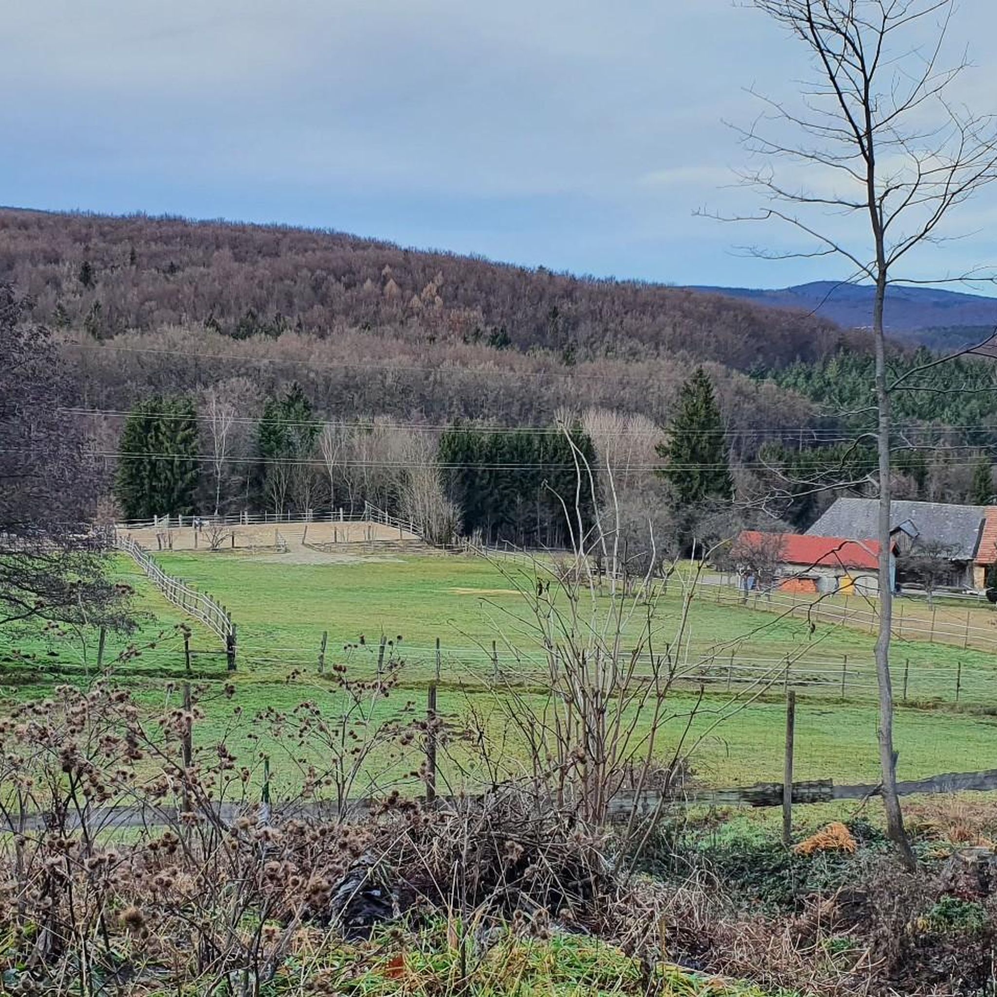
Jogging around Wolfsgraben offers diverse natural features within the Vienna Woods, approximately 15 kilometers from Vienna. The region is characterized by densely wooded surroundings, rolling hills, and clear streams, providing varied terrain for running. Extensive trail networks include paths alongside the Wolfsgrabenbach stream and routes leading to views like the Wienerwaldsee. This landscape allows for runs with varying inclines and challenges, suitable for different fitness levels.
Best jogging routes around Wolfsgraben
- The most popular jogging route is Wienerwaldsee Dam – Wienerwaldsee Dam loop from Wolfsgraben, a 7.8 miles (12.5 km) trail that takes 1 hour 18 minutes to complete. This moderate route offers scenic views around the dam.
- Another top favourite among local runners is Wienerwaldsee South – View of the Lake at Sunset loop from Wolfsgraben, a moderate 7.9 miles (12.6 km) path. This route provides picturesque views of the lake, especially during sunset.
- Local runners also love the Panoramic View at Käferleitenberg loop from Wolfsgraben, a 4.6 miles (7.3 km) trail leading through rolling hills, often completed in about 50 minutes.
- Jogging around Wolfsgraben is defined by dense woodlands, rolling hills, and clear streams. The network offers options for different ability levels, from easy paths to more challenging routes with elevation changes.
- The routes in Wolfsgraben are highly rated by the komoot community with an average score of 4.4 stars from over 500 reviews. More than 8000 runners have used komoot to explore Wolfsgraben's varied terrain.
Last updated: July 2, 2026
3.0
(1)
43
runners
12.5km
01:18
100m
90m
Moderate run. Good fitness required. Mostly paved surfaces. Suitable for all skill levels.
6
runners
7.33km
00:50
190m
190m
Moderate run. Good fitness required. Mostly paved surfaces. Suitable for all skill levels.

Sign up for free
5
runners
12.9km
01:39
330m
330m
Hard run. Very good fitness required. Mostly paved surfaces. Suitable for all skill levels.
4
runners
7.52km
00:51
180m
180m
Moderate run. Good fitness required. Mostly paved surfaces. Suitable for all skill levels.
5
runners
12.6km
01:24
300m
300m
Moderate run. Good fitness required. Mostly paved surfaces. Suitable for all skill levels.
Get access to more routes and recommendations from other explorers.
Sign up for free
Already have an account?
Our route recommendations are based on thousands of hikes, rides, and runs completed by other people on komoot.
Start today with a free account
Your next adventure awaits.
Login or Signup
Tips from the Community

The sacral wayside shrine, commonly known by the name ENGELKREUZ, which we encounter here, is – contrary to its name – no longer an image of the cross, but instead shows the viewer a different image of Christ. The modern-looking imagery presents us not with the suffering Son of God who died on the cross, but with the one resurrected from death and glorified by God the Father. The attentive observer might feel reminded of a new interpretation of the classic PANTOCRATOR motif.
0
0

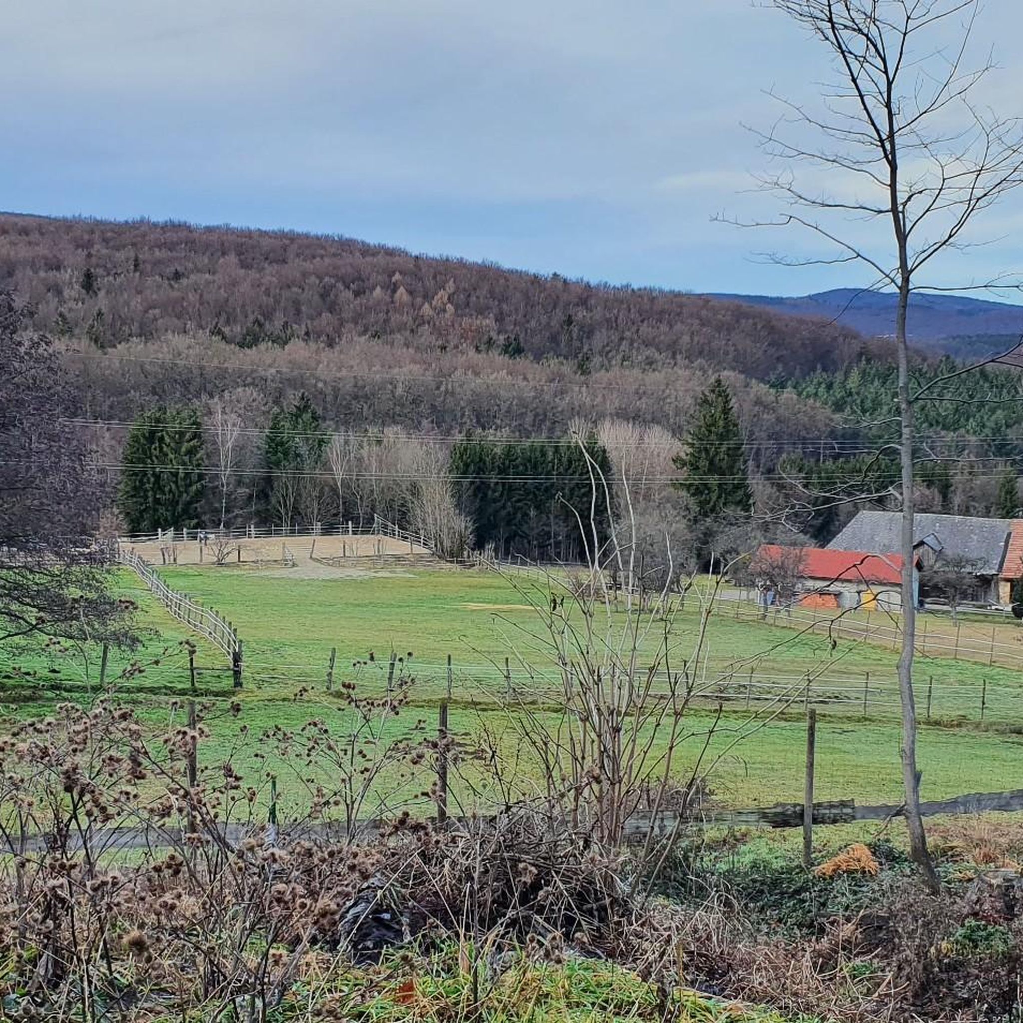
According to tradition, a pastor once walked across the meadow, it belonged to a farmer named ENGEL, it was free-range farming and cattle grazed here.
1
0
The first plans already existed in 1781 by the architect Wilhelm Bayer. The lake, upon its construction in 1895–1897, was used only as a utility water reservoir, and until recently as a drinking water reservoir for the Wiental water pipeline of the Wiental waterworks. The content of the basin, which is created by a 240-meter-long and 13-meter-high dam, was 1,430,000 cubic meters at the time.
1
0

MTB rather easier route
0
0

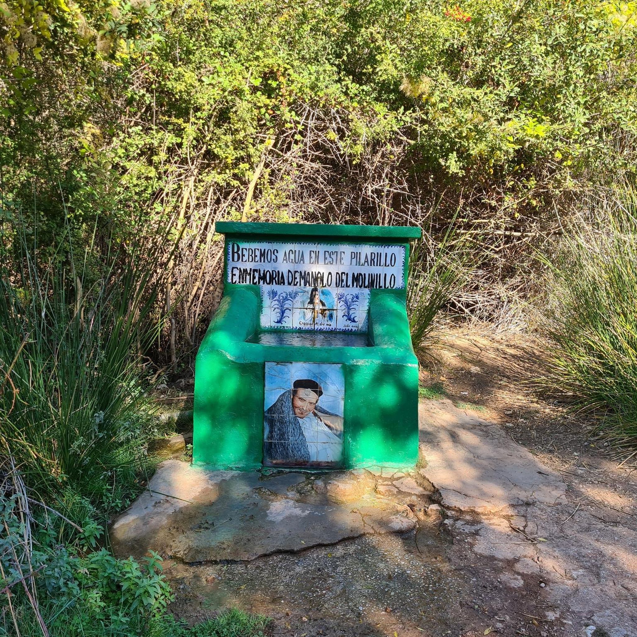
Water is still flowing here, so you can definitely fill up a bottle. It's just a very gentle stream.
0
0

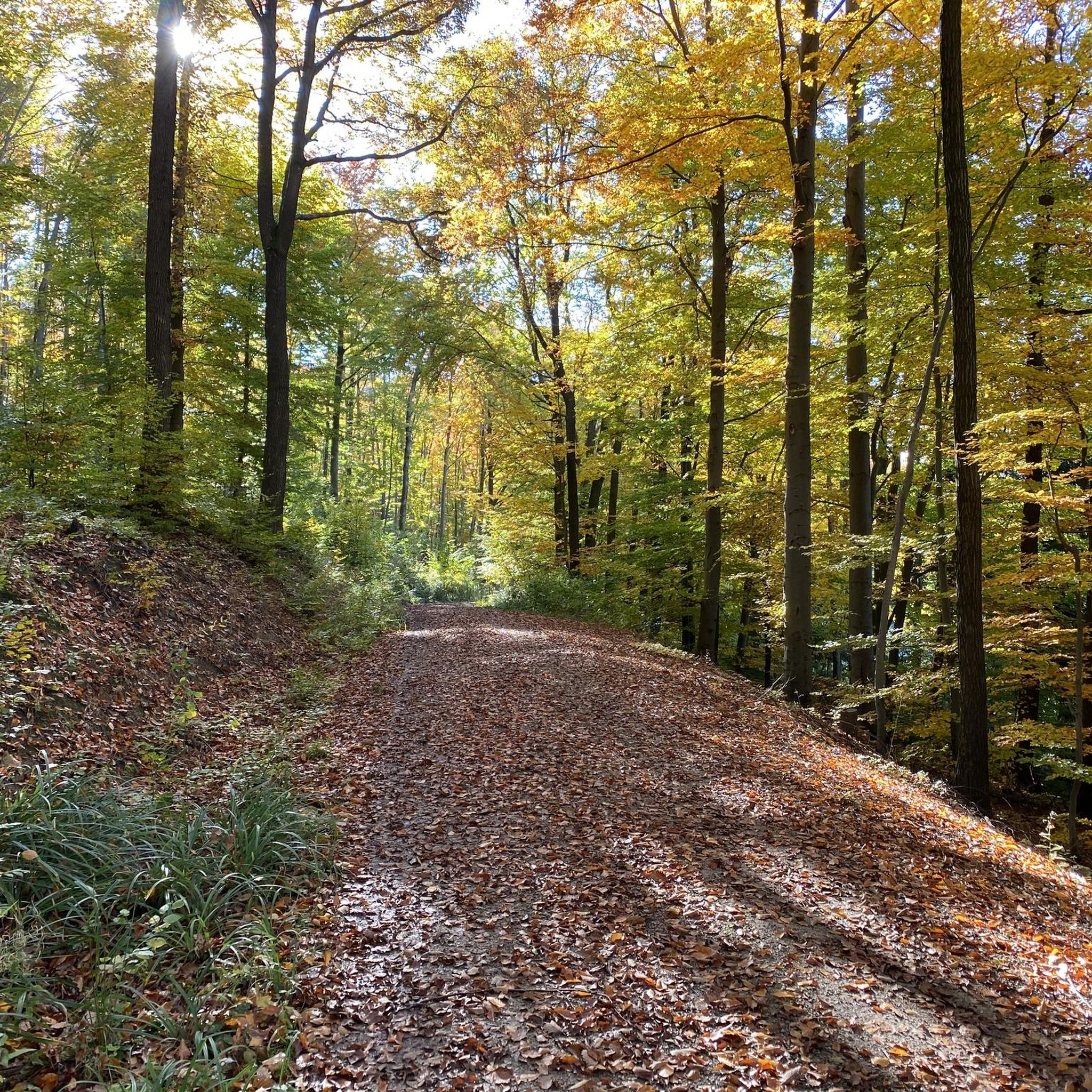
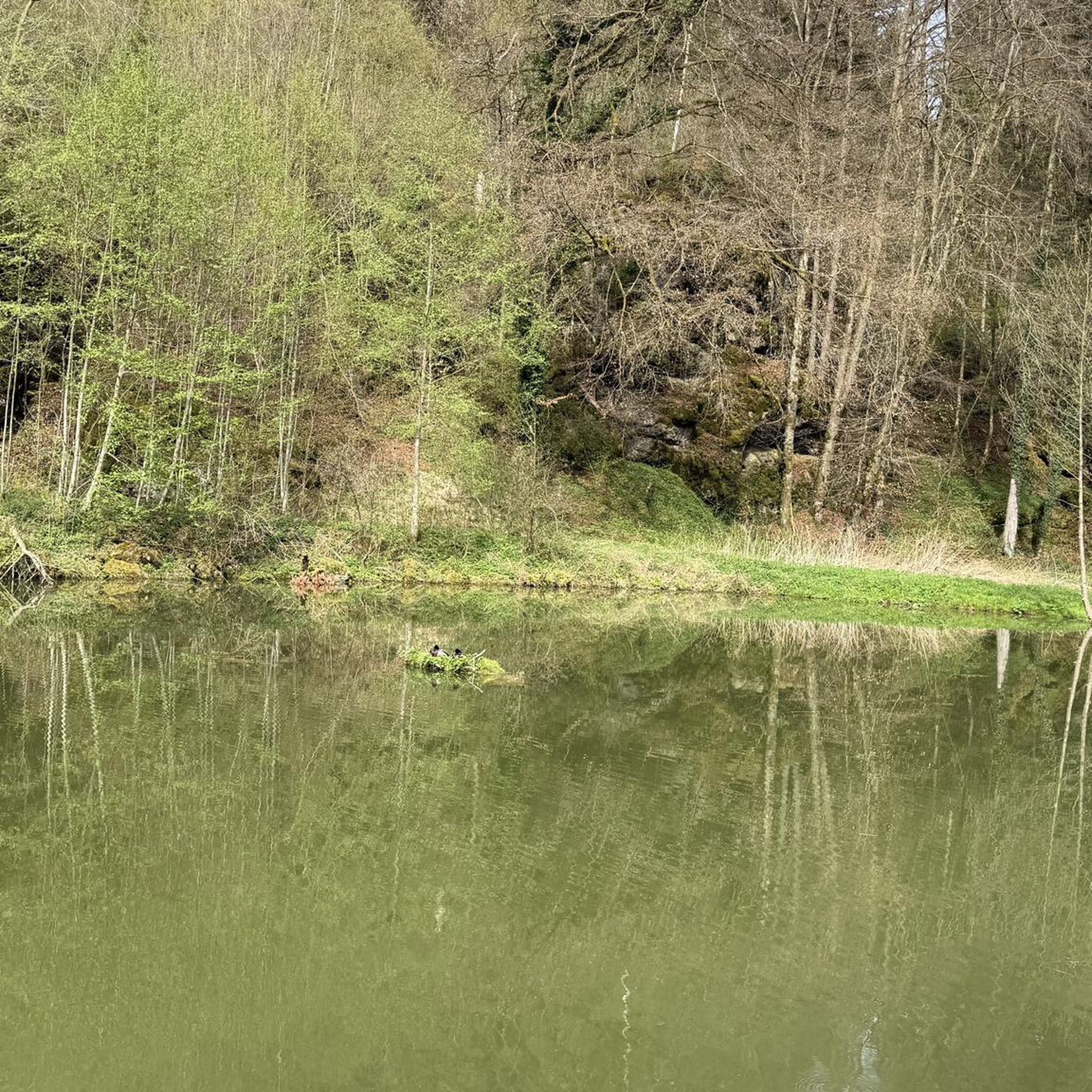
Beautiful route along the Wienerwaldsee. In some places you have a good view of the lake.
2
0

Wilhelm Kress (1836–1913) himself was an Austrian aviation pioneer and designer born in St. Petersburg. The trained piano maker constructed the Kress hang glider in 1901 - a seaplane that unfortunately never took off from the ground. 2 years before the Wright brothers. The reason for this was the engine built in Stuttgart. Kress expected a take-off weight of 600 kg with an engine output of at least 35 hp. The engine delivered weighed an impressive 380 kg instead of 200 kg and produced only 30 hp instead of 35 hp. Due to the excessive weight of 850 kg, the aircraft was further reinforced. The Wienerwaldsee was subsequently too small. The aircraft recovered after the crash can now be admired in the Vienna Arsenal. After his death, Wilhelm Kress was given an honorary grave at the Vienna Central Cemetery (Group 0, Row 1, Number 65) designed by sculptor Andreas Kögler (1878–1956). The monument, created by sculptor Rudolf von Weigl, was unveiled on October 5, 1913 – about half a year after Wilhelm Kress’ death. Unfortunately, the monument was destroyed at the end of the Second World War, but was restored in 1954. As part of the 100th anniversary of the municipality of Tullnerbach and its elevation to market town status, the monument was re-erected at its current location in 1973.
0
0
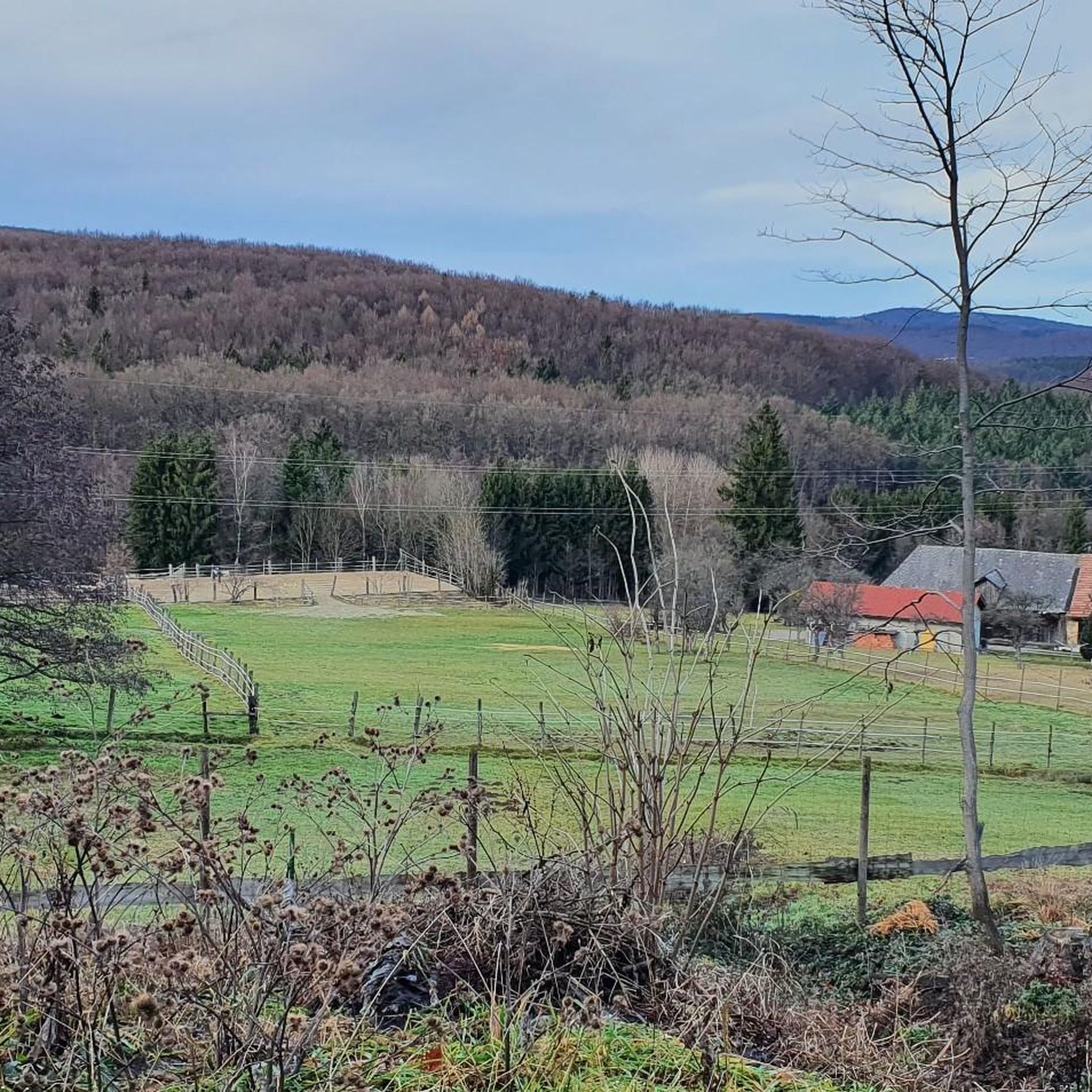
Nice walk, but 3/4 of the way is next to the expressway; Views are still very nice
0
0
Frequently Asked Questions
How many running routes are available around Wolfsgraben?
Wolfsgraben offers a wide selection of running routes, with over 280 trails available for exploration. These routes cater to various fitness levels, ranging from easy paths to more challenging runs with significant elevation changes.
Are there easy running trails suitable for beginners or families in Wolfsgraben?
Yes, Wolfsgraben provides several easy running routes perfect for beginners or families. While many routes are moderate, there are at least 8 designated easy trails. These often feature less elevation and more stable surfaces, making them enjoyable for a relaxed run. The region's diverse topography ensures options for all abilities.
What kind of terrain can I expect on the jogging routes in Wolfsgraben?
The jogging routes in Wolfsgraben offer varied terrain, from densely wooded paths within the Vienna Woods to trails alongside the Wolfsgrabenbach stream. You'll encounter rolling hills, providing runs with varying inclines and challenges. Some routes, like the "Wolfsgraben Trail – Kerzenstein loop," feature mostly paved surfaces, while others include forest roads and natural hiking trails.
Are there any running routes that offer scenic views or points of interest?
Absolutely. Many running routes in Wolfsgraben provide picturesque scenery. Trails along the Wolfsgrabenbach stream can lead to views of the Wienerwaldsee. For panoramic vistas, consider routes that ascend hills like Buchberg, which offers views over the surrounding countryside and even the Vienna skyline. You can also incorporate a visit to the Troppberg Observation Tower into a longer run for a fantastic 360-degree view.
Are there any circular running routes in Wolfsgraben?
Yes, Wolfsgraben is well-suited for circular running routes. Many trails are designed as loops, allowing you to start and finish at the same point. For example, the Wienerwaldsee Dam – Wienerwaldsee Dam loop from Wolfsgraben is a popular 12.5 km circular route offering scenic views around the dam. Another option is the Panoramic View at Käferleitenberg loop from Wolfsgraben, a 7.3 km trail through rolling hills.
What do other runners enjoy most about the trails in Wolfsgraben?
The running trails in Wolfsgraben are highly rated by the komoot community, with an average score of 4.4 stars from over 500 reviews. Runners frequently praise the diverse natural features, the extensive network of well-marked paths, and the serene atmosphere of the Vienna Woods. The variety of terrain, from shaded forest paths to routes with lake views, is also a common highlight.
Are there any challenging running routes for experienced runners?
Yes, experienced runners looking for a challenge will find several difficult routes in Wolfsgraben. The area's rolling hills and varied topography include trails with significant elevation changes. For instance, the Erlbart – Kaiserbründl Wien River Source loop from Vienna Woods is a difficult 12.8 km route with over 330 meters of elevation gain, offering a demanding workout.
Can I bring my dog on the running trails in Wolfsgraben?
While the guide data doesn't specify dog-friendly rules for every individual route, the Vienna Woods region generally welcomes dogs on trails, often requiring them to be on a leash. Given the natural, wooded environment of Wolfsgraben, many paths are suitable for running with your dog. Always ensure your dog is under control and respect local signage regarding pet regulations.
Are there any unique themed trails for running in Wolfsgraben?
Yes, Wolfsgraben features a unique "Hedge" Nature Trail. This themed path offers an engaging and informative running experience, showcasing regional tree and shrub species through fairy tales, rhymes, and poems. It provides a different kind of immersion in nature while you jog.
What are some notable natural features I might encounter on a run?
As you run through Wolfsgraben, you'll be immersed in the expansive Vienna Woods, characterized by dense woodlands and rolling hills. The Wolfsgrabenbach stream flows through the area, with many trails running alongside it, offering picturesque waterside views. You might also encounter the Wienerwaldsee, a notable lake in the region, providing a beautiful backdrop for your run.
Is there public transport access to the running routes in Wolfsgraben?
Wolfsgraben is approximately 15 kilometers from Vienna, and while specific public transport details for each trailhead are not provided in the guide, the municipality is accessible. For detailed information on bus or train connections from Vienna to Wolfsgraben, it is advisable to check local public transport schedules, as this will help you plan your journey to the starting points of the running routes.
Are there places to rest or picnic along the running routes?
Yes, some trails in the Wolfsgraben area, such as the broader Wolfsgraben circular hike, include designated resting spots. These often feature tables and benches, providing convenient opportunities to pause, hydrate, and enjoy the scenic surroundings during your run.
What is a good running route to see the Wienerwaldsee?
For excellent views of the Wienerwaldsee, consider the Wienerwaldsee South – View of the Lake at Sunset loop from Wolfsgraben. This moderate 12.6 km route is particularly popular among local runners for its picturesque lake views, especially beautiful during sunset. It's a great option to combine your run with stunning natural scenery.
Most popular routes around Wolfsgraben
Most popular attractions around Wolfsgraben

Get inspired with the komoot mobile app


Explore more
Browse the best Running Trails & Routes in other regions.
