The best mountain hikes around Au
4.8
(430)
3,270
hikers
104
hikes
Mountaineering routes around Au traverse the rugged Alpine terrain of the Bezirk Bregenz, characterized by prominent peaks, high-altitude pastures, and deep valleys. The region offers a diverse landscape for alpinists, featuring challenging ascents and panoramic views across the Austrian Alps. Limestone formations and dense forests are common features, providing varied environments for exploration.
Best mountaineering routes around Au
- The most popular mountaineering route is Hoher Stoß – Holenke Summit (Kanisfluh) loop from Naturschutzgebiet Auer Ried, a 3.5 miles (5.7 km) trail that takes 3 hours 5 minutes to complete. This difficult route offers a challenging ascent to a prominent summit within a nature reserve.
- Another top favourite among local mountaineers is Hoher Stoß – Holenke Summit (Kanisfluh) loop from Au, a difficult 9.8 miles (15.7 km) path. This longer loop provides extensive high-alpine scenery and sustained climbing.
- Local mountaineers also love the Alpe Uga – Damülser Mittagspitze loop from Elsenalpstube, a 2.3 miles (3.7 km) trail leading through alpine pastures and towards a summit, often completed in about 1 hour 37 minutes.
- Mountaineering around Au is defined by high Alpine peaks, extensive alpine meadows, and deep valleys. The network offers options for different ability levels, from moderate ascents to difficult high-alpine challenges.
- The routes in Au are highly rated by the komoot community with an average score of 4.8 stars from over 400 reviews. More than 3000 mountaineers have used komoot to explore Au's varied terrain.
Last updated: July 1, 2026
5.0
(6)
93
hikers
5.55km
03:03
540m
540m
Moderate mountaineering route. Good fitness required. Mostly accessible paths. Sure-footedness required.
5.0
(5)
29
hikers
15.2km
07:07
1,210m
1,210m
Hard mountaineering route. Very good fitness required. Sure-footedness, sturdy shoes and alpine experience required.

Sign up for free
5.0
(8)
29
hikers
3.66km
01:37
230m
230m
Hard mountaineering route. Great for any fitness level. Sure-footedness, sturdy shoes and alpine experience required.
5.0
(3)
23
hikers
6.52km
03:13
540m
540m
Moderate mountaineering route. Good fitness required. Mostly accessible paths. Sure-footedness required.
5.0
(1)
15
hikers
11.4km
07:55
1,150m
1,150m
Hard mountaineering route. Very good fitness required. Sure-footedness, sturdy shoes and alpine experience required.
Get access to more routes and recommendations from other explorers.
Sign up for free
Already have an account?
Our route recommendations are based on thousands of hikes, rides, and runs completed by other people on komoot.
Start today with a free account
Your next adventure awaits.
Login or Signup
Popular around Au
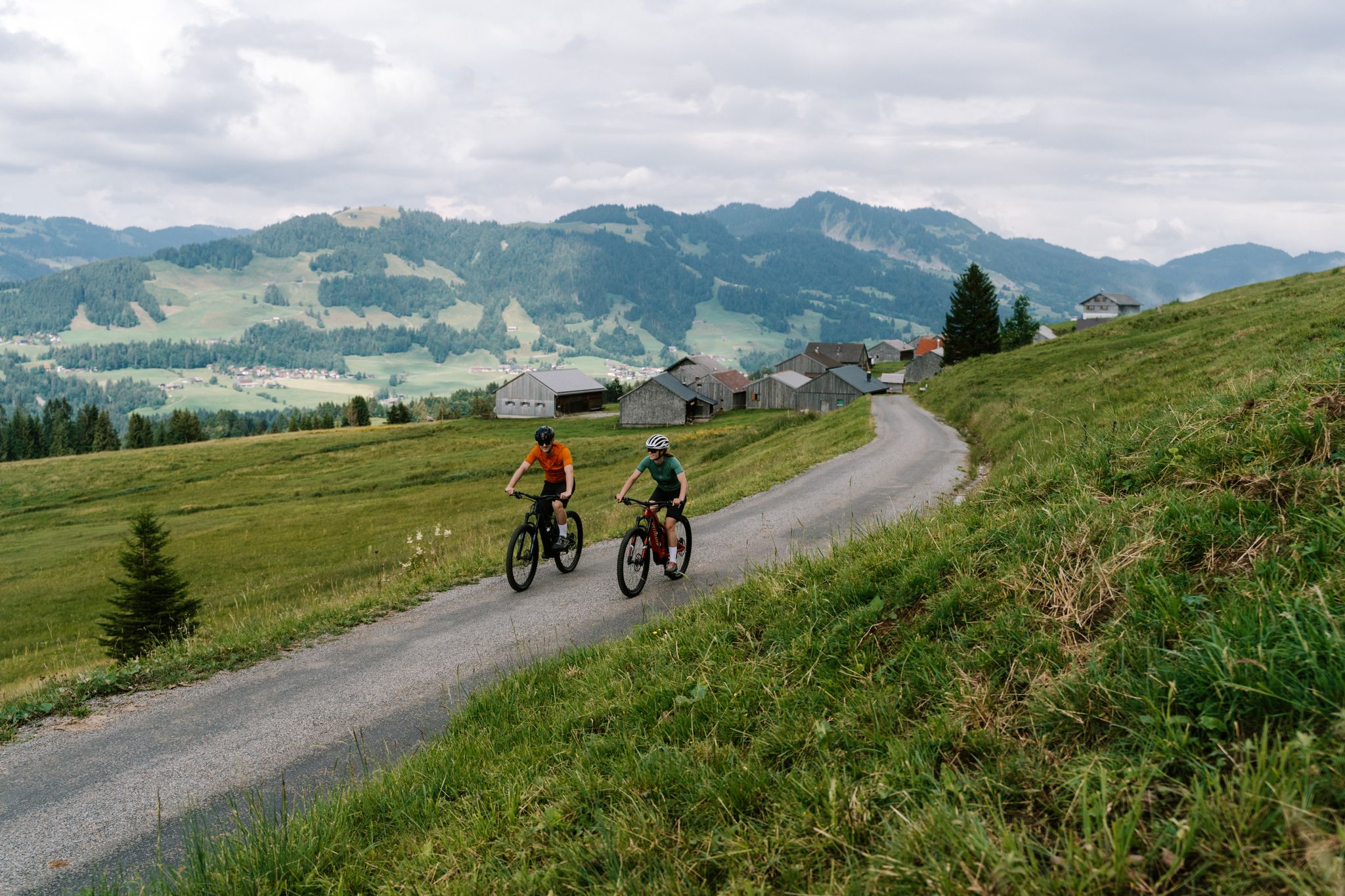
Mountain biking through the Bregenzerwald's Vorsäß areas
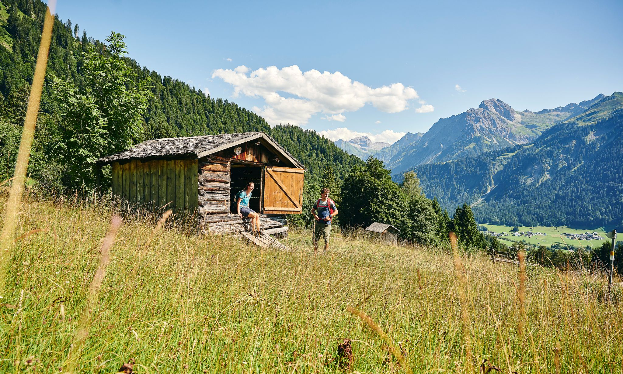
On the way on excellent hiking trails
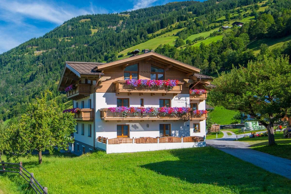
Sun, mountains, bathing fun – an active vacation on Austria's Farms
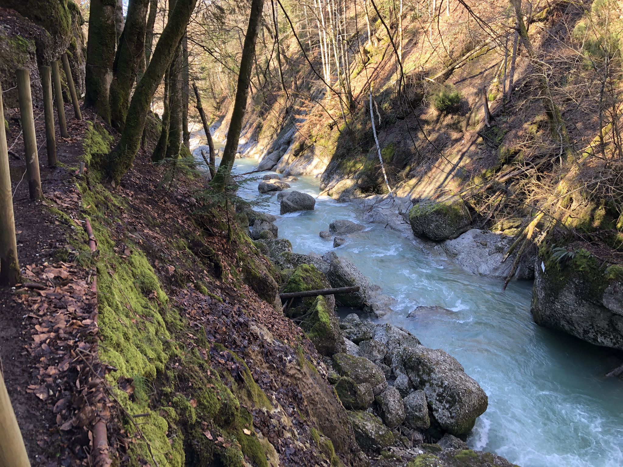
Die schönsten Wege zum Wasser im Bregenzerwald
MTB Trails around Au
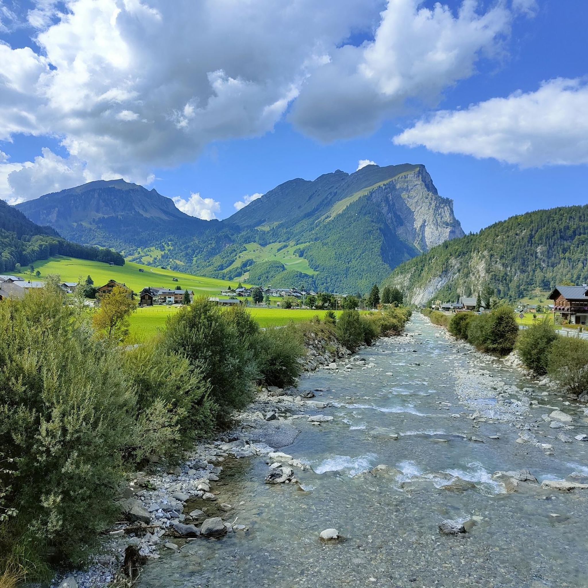
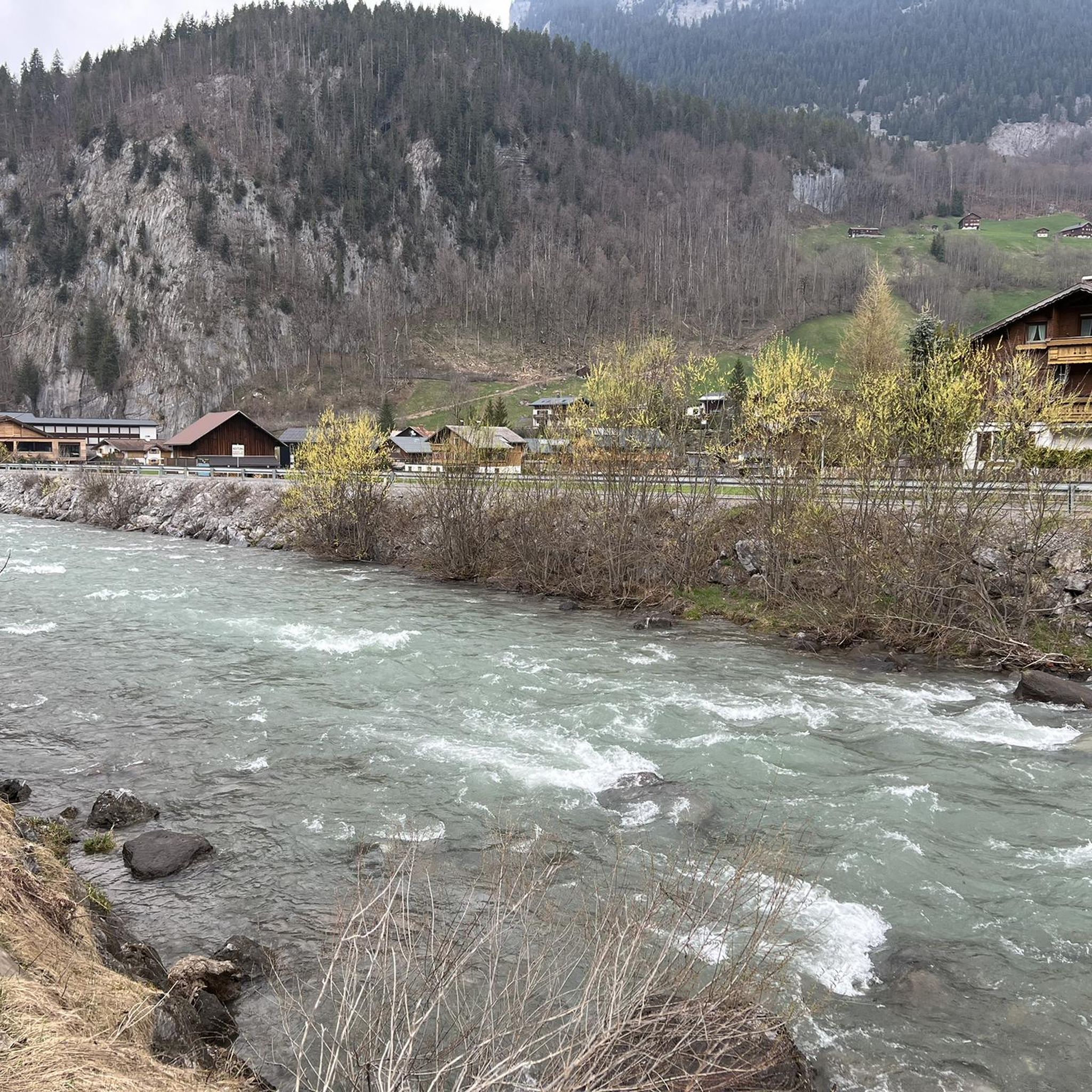
Hiking around Au
Road Cycling Routes around Au
Gravel biking around Au
Cycling around Au
Running Trails around Au
Other adventures around Au


Tips from the Community

From the summit, the view extends from Lake Constance across the Bregenz Forest and far into Switzerland.
0
0

There's an inn here with a large panoramic restaurant and sun terrace. Along the road, there's a smaller building with a terrace.
1
0

Super great hosts and an impressive view ⛰️👍
1
0

Known for a good snack and fine drinks 🥰
0
0

A wonderful place, there's nothing more to say. Stunning views across the Vorarlberg Alps to the Säntis. The climb, however, requires surefootedness and a good level of fitness. But it's absolutely worth it.
0
0

The Bergkristallhütte is located at 1250m above sea level at the foot of the Zitterklapfen (2404m). The hut can be reached from the valley in about 1.5 hours and offers a magnificent view of the surrounding mountains.
3
0

Destination of the hiking trail. To the right to the mountain station, Elsenkopfalpe and further to the swing. To the left to the lake circular trail and to the Mittagsspitze.
0
0

Great view, relatively easy access
0
0
Frequently Asked Questions
How many mountaineering routes are available around Au?
There are over 100 mountaineering routes around Au, offering a wide range of options for different skill levels. You'll find everything from moderate ascents to challenging high-alpine expeditions.
Are there mountaineering routes suitable for beginners or those seeking an easier experience?
While many routes in Au are considered difficult, there are a few easier options available. The region offers a diverse network of trails, including some moderate ascents that are less demanding than the high-alpine challenges. For example, the Bergkrystall Snack Station – Outlook to Au loop from Schoppernau is a moderate route that provides stunning views without the extreme difficulty of some other trails.
What kind of natural features or landmarks can I expect to see on these routes?
Mountaineering routes around Au traverse the rugged Alpine terrain of the Bezirk Bregenz, characterized by prominent peaks, high-altitude pastures, and deep valleys. You'll encounter limestone formations, dense forests, and extensive alpine meadows. Notable landmarks and viewpoints in the wider area include the Walmendingerhorn Viewing Platform and the Summit Cross of Hoher Ifen. You might also come across charming mountain huts like the Schwarzwasser Hut or the Bärgunt Hut.
Are there circular mountaineering routes around Au?
Yes, many mountaineering routes around Au are designed as loops, allowing you to start and end at the same point. Examples include the challenging Hoher Stoß – Holenke Summit (Kanisfluh) loop from Naturschutzgebiet Auer Ried and the longer Hoher Stoß – Holenke Summit (Kanisfluh) loop from Au, both offering extensive high-alpine scenery. Another popular circular option is the Alpe Uga – Damülser Mittagspitze loop from Elsenalpstube.
What is the typical duration for mountaineering routes in Au?
The duration of mountaineering routes around Au varies significantly based on distance and difficulty. Shorter loops, like the Alpe Uga – Damülser Mittagspitze loop from Elsenalpstube, can be completed in under 2 hours. More challenging and longer routes, such as the Bergkrystall Snack Station – Zitterklapfen Summit loop from Bodenvorsäß, can take upwards of 8 hours to complete.
What is the best time of year for mountaineering in Au?
The best time for mountaineering in Au, like much of the Austrian Alps, is typically from late spring to early autumn (June to September). During these months, trails are generally free of snow at lower to mid-altitudes, and the weather is more stable. However, high-alpine routes, especially those involving glaciers, may be accessible later in the season and require specific equipment and expertise. Always check local conditions and forecasts before heading out.
Are there any mountain huts or places to eat along the mountaineering routes?
Yes, the Austrian Alps are well-known for their network of mountain huts, which often provide food, drinks, and overnight accommodation. While specific details for every route vary, you can often find huts like the Schwarzwasser Hut or the Bärgunt Hut in the broader region, offering a welcome stop during your mountaineering adventure. Some routes, like the Bergkrystall Snack Station – Outlook to Au loop from Schoppernau, even have snack stations directly mentioned in their names.
What do other mountaineers say about the routes in Au?
The mountaineering routes around Au are highly regarded by the komoot community, with an impressive average score of 4.8 stars from over 400 reviews. Mountaineers frequently praise the diverse terrain, from challenging ascents to panoramic views across the Austrian Alps, and the well-maintained trails that offer varied environments for exploration.
Is it possible to reach mountaineering trailheads in Au by public transport?
Austria has a well-developed public transport system, and many Alpine regions are accessible by bus or train. While specific public transport links to every trailhead in Au may vary, it's often possible to reach starting points for hikes and mountaineering routes using regional bus services. We recommend checking local transport schedules for the specific trailhead you plan to visit.
Are there any less-known or 'hidden gem' mountaineering routes in Au?
While the guide highlights popular routes, the region around Au offers over 100 mountaineering tours, meaning there are many opportunities to discover less-trafficked paths. Exploring routes beyond the most frequently mentioned ones can lead to unique experiences and quieter trails. Komoot's extensive database allows you to filter by popularity or explore different starting points to find your own hidden gems.
Do I need any special permits for mountaineering in Au?
For general mountaineering on marked trails in the Au region, specific permits are typically not required. However, if you plan to undertake high-alpine tours, glacier crossings, or enter protected nature reserves off marked paths, it's always advisable to check with local authorities or mountain guide associations for any specific regulations or permit requirements. Some areas, like the Hohe Tauern National Park in the wider Austrian Alps, have specific rules for certain activities.
Most popular routes around Au
Most popular attractions around Au

Get inspired with the komoot mobile app


Explore more
Browse the best Mountain Hikes & Routes in other regions.
