The best running trails around Dünserberg
4.5
(217)
4,749
runners
227
runs
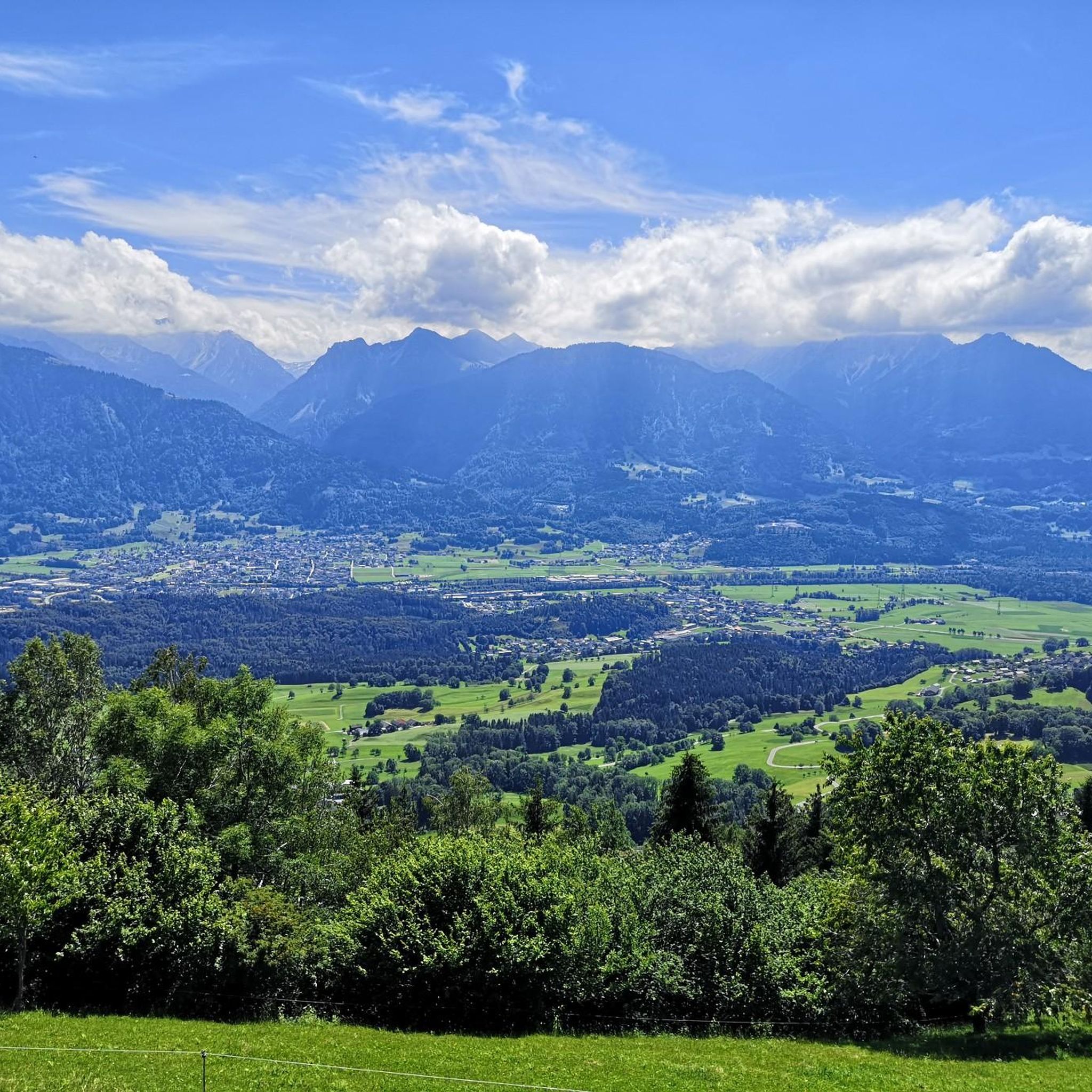
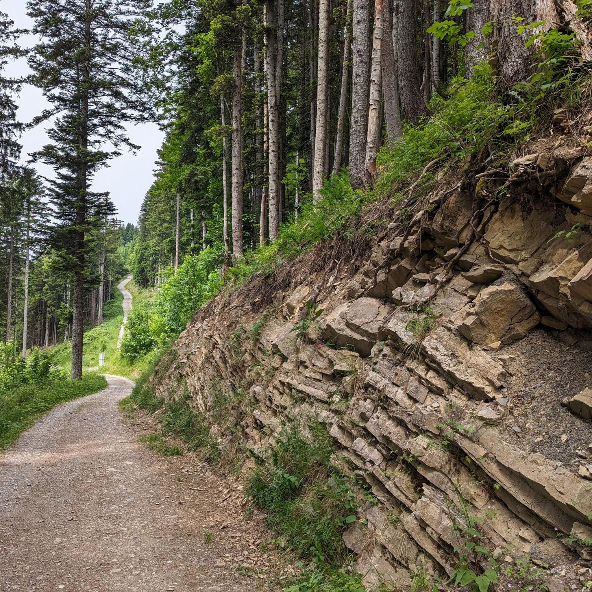
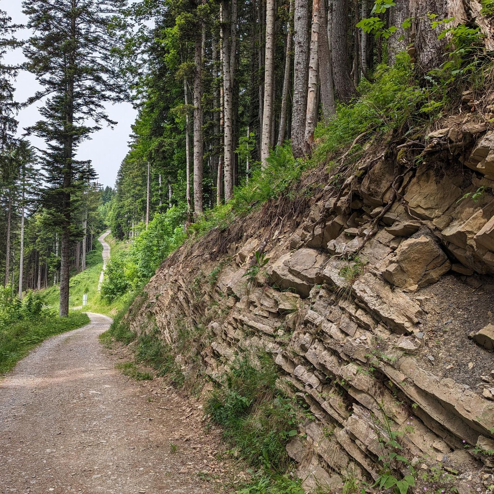
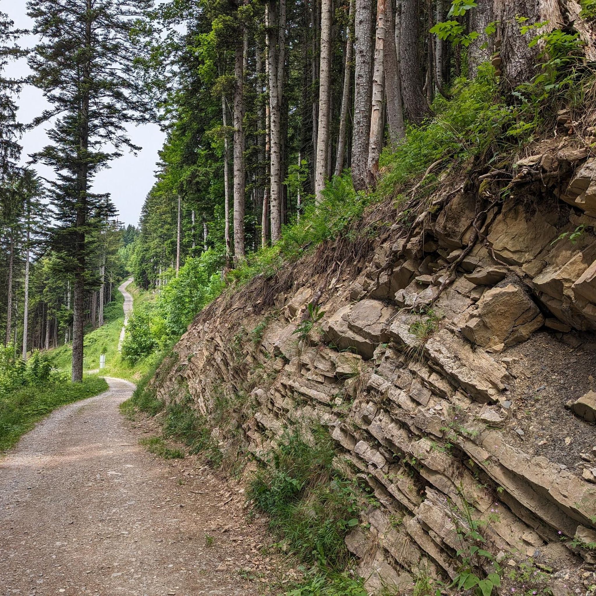
Jogging around Dünserberg offers diverse landscapes for outdoor activity, situated at an altitude of 900 meters above sea level. The region is characterized by extensive forests, making up approximately 46% of the area, and mountainous terrain, providing varied paths for runners. Joggers can experience both challenging ascents and moderate routes through wooded areas, alongside open alpine meadows. This setting provides a captivating alpine panorama and clear mountain air for physical activity.
Best jogging routes around Dünserberg
- The most popular jogging…
Last updated: October 4, 2026
5.0
(1)
60
runners
8.41km
00:54
40m
40m
Moderate run. Good fitness required. Mostly paved surfaces. Suitable for all skill levels.
5.0
(1)
47
runners
12.3km
01:17
30m
30m
Moderate run. Good fitness required. Mostly paved surfaces. Suitable for all skill levels.

5.0
(8)
57
runners
9.41km
00:59
30m
30m
Moderate run. Good fitness required. Mostly paved surfaces. Suitable for all skill levels.
5.0
(5)
57
runners
8.94km
00:56
30m
30m
Moderate run. Good fitness required. Mostly paved surfaces. Suitable for all skill levels.
22
runners
Moderate run. Good fitness required. Mostly paved surfaces. Suitable for all skill levels.
Get access to more routes and recommendations from other explorers.
Already have an account?
Our route recommendations are based on thousands of hikes, rides, and runs completed by other people on komoot.
Start today with a free account
Your next adventure awaits.


Tips from the Community

Good place to take a break - careful, please don't disturb the anglers, to each their own hobby :-)
0
0

Very nice bike tours
0
0

Awesome area and not so many people
0
0


A beautiful floodplain forest, perfect for gravel biking with views of the surrounding mountains. The Lutz River invites you to cool off in the water.
3
0

Here again a wonderful opportunity for a break!
1
0
Frequently Asked Questions
How many running routes are available in Dünserberg?
Dünserberg offers a wide selection of over 230 running routes, catering to various fitness levels. You'll find everything from leisurely jogs to more challenging trail runs through diverse landscapes.
What kind of terrain can I expect on the jogging trails in Dünserberg?
The terrain in Dünserberg is quite varied, featuring approximately 46% forest and 20% mountainous areas. You can expect a mix of challenging ascents and moderate paths through wooded sections, as well as open alpine meadows. This diverse landscape provides an engaging experience for runners.
Are there easy running routes suitable for beginners in Dünserberg?
Yes, Dünserberg has options for beginners. While many routes are moderate, there are 13 easy routes available. These paths are generally less demanding, allowing you to enjoy the fresh mountain air and beautiful scenery without significant elevation challenges.
What are some challenging running trails for experienced runners in Dünserberg?
For experienced trail runners seeking a challenge, Dünserberg offers 38 difficult routes. These often feature significant elevation changes and more rugged terrain, providing an intense workout amidst stunning alpine panoramas. Routes like the Gipfelrunde Laternser Kreuz – Hochgerach are known for their demanding nature and panoramic views.
What are the best times of year to go jogging in Dünserberg?
Spring and summer are particularly attractive for outdoor activities in Dünserberg. During these seasons, nature is in full bloom, and the weather is pleasantly mild, making for ideal running conditions. The clear mountain air is invigorating year-round, but these months offer the most comfortable temperatures.
Are there any running routes in Dünserberg that offer great viewpoints?
Absolutely! Dünserberg is renowned for its panoramic views. Many trails, such as the Panorama Trail and the Dünser Berg Forest Trail, offer spectacular vistas of the Rätikon, Silvretta, and Verwall mountain ranges, as well as the Appenzeller Alps and even Lake Constance. Look for routes that traverse higher elevations for the most expansive views.
Can I find family-friendly jogging routes in Dünserberg?
While specific stroller-accessible routes are not detailed, many of the easier and moderate paths through forests and alpine meadows can be suitable for families. These routes allow for a more relaxed pace, letting everyone enjoy the natural beauty and fresh air. Always check the route details for terrain suitability before heading out with children.
Are there any dog-friendly running trails in Dünserberg?
Many of the trails in Dünserberg are suitable for running with dogs, allowing your canine companion to enjoy the fresh mountain air and varied terrain. It's always recommended to keep your dog on a leash, especially in areas with wildlife or near grazing animals, and to observe local regulations regarding pets on trails.
What do other runners enjoy most about jogging in Dünserberg?
The running routes in Dünserberg are highly rated by the komoot community, with an average score of 4.5 stars from over 170 reviews. Runners frequently praise the diverse landscapes, the invigorating clear mountain air, and the stunning panoramic views of the surrounding alpine ranges. The variety of routes, from leisurely to challenging, is also a big draw.
Are there any notable natural features or landmarks to see along the running routes?
Yes, Dünserberg's natural landscape is a highlight. You can explore traditional alpine meadows like those around Dünser Älpele, or enjoy the dense forests that cover nearly half of the region. For specific points of interest, consider routes that pass near Lake Galina or offer views of summits like Mondspitze Summit Cross, which are popular attractions in the wider area.
Is there public transport access to the jogging routes in Dünserberg?
While Dünserberg is situated at 900 meters above sea level, public transport options to access the trailheads directly within the municipality might be limited. However, you can often find public transport connections to nearby towns like Bludesch, Satteins, or Schlins, from where many popular routes, such as the St. Anna Church (Thüringen) loop from Bludesch, begin. It's advisable to check local bus schedules for the most current information.
Are there any circular running routes in Dünserberg?
Yes, many of the running routes in Dünserberg are designed as loops, offering a convenient way to start and end your run at the same point. Examples include the St. Anna Church (Thüringen) loop from Bludesch, the Ill River Footbridge – Lake Galina loop from Satteins, and the Baggersee loop from Schlins, all of which are popular choices for their varied scenery and circular nature.
Most popular routes around Dünserberg
Most popular attractions around Dünserberg

Get inspired with the komoot mobile app


Explore more
Browse the best Running Trails & Routes in other regions.
