The best mountain hikes around Blons
4.8
(191)
1,365
hikers
87
hikes
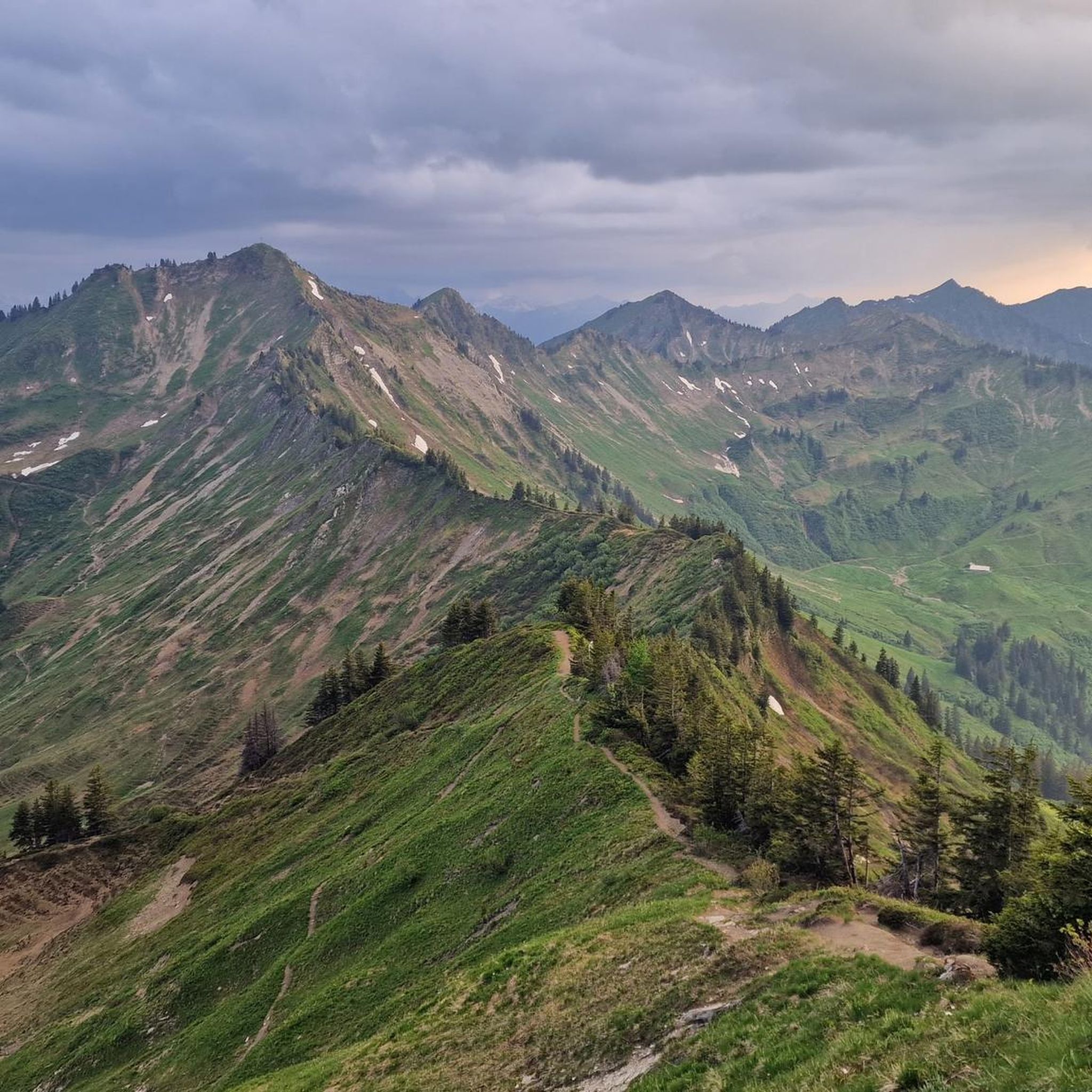
Mountaineering around Blons offers a diverse alpine landscape characterized by prominent peaks, high ridges, and scenic mountain passes. The region features elevations exceeding 2,000 meters, providing challenging ascents and expansive views. Terrain includes rocky paths, alpine meadows, and sections through coniferous forests, typical of the Austrian Alps.
Best mountaineering routes around Blons
- The most popular mountaineering route is Portlahorn (2,010 m) – View of Sünser Lake loop from Damüls, a 7.2 miles (11.5 km) trail that takes 4 hours…
Last updated: July 7, 2026
4.9
(10)
61
hikers
11.5km
04:45
590m
590m
Moderate mountaineering route. Good fitness required. Mostly accessible paths. Sure-footedness required.
5.0
(10)
55
hikers
10.2km
04:04
450m
450m
Moderate mountaineering route. Good fitness required. Mostly accessible paths. Sure-footedness required.

Sign up for free
5.0
(3)
17
hikers
Hard mountaineering route. Very good fitness required. Mostly accessible paths. Sure-footedness required.
5.0
(1)
15
hikers
10.3km
05:21
960m
960m
Hard mountaineering route. Very good fitness required. Mostly accessible paths. Sure-footedness required.
5.0
(1)
9
hikers
6.81km
02:49
340m
340m
Moderate mountaineering route. Good fitness required. Mostly accessible paths. Sure-footedness required.
Get access to more routes and recommendations from other explorers.
Sign up for free
Already have an account?
Our route recommendations are based on thousands of hikes, rides, and runs completed by other people on komoot.
Start today with a free account
Your next adventure awaits.
Login or Signup
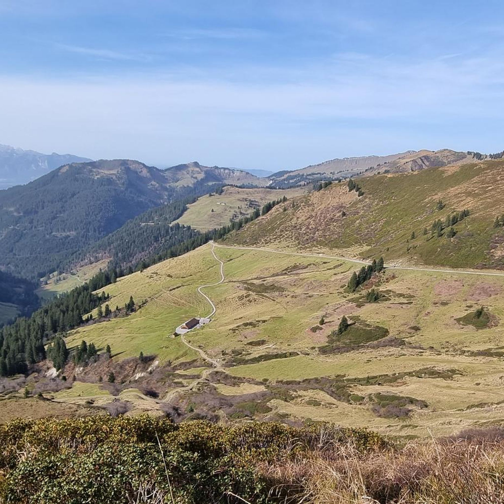
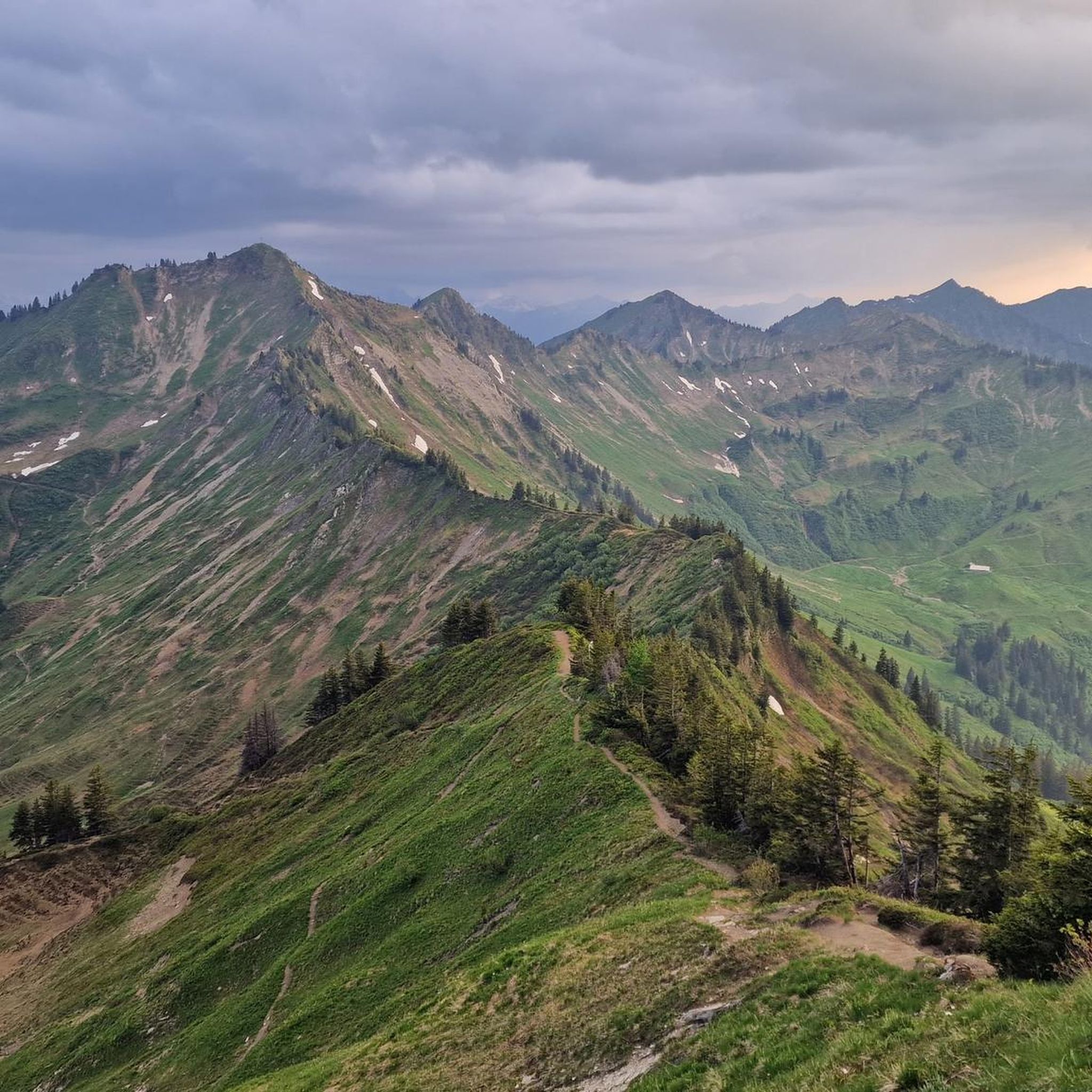
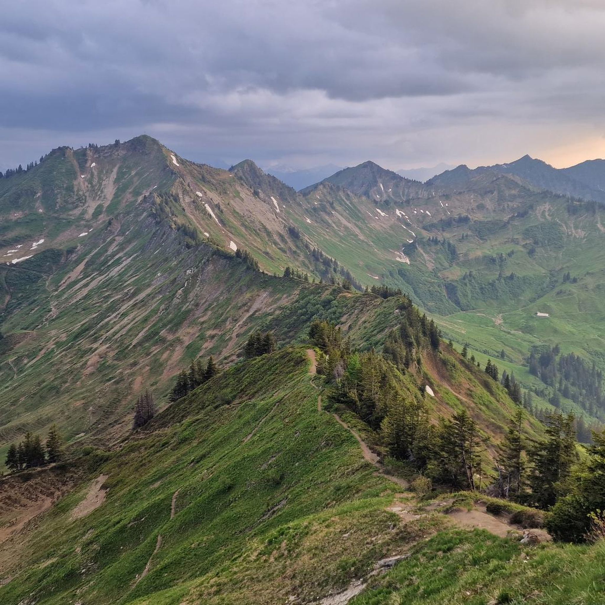
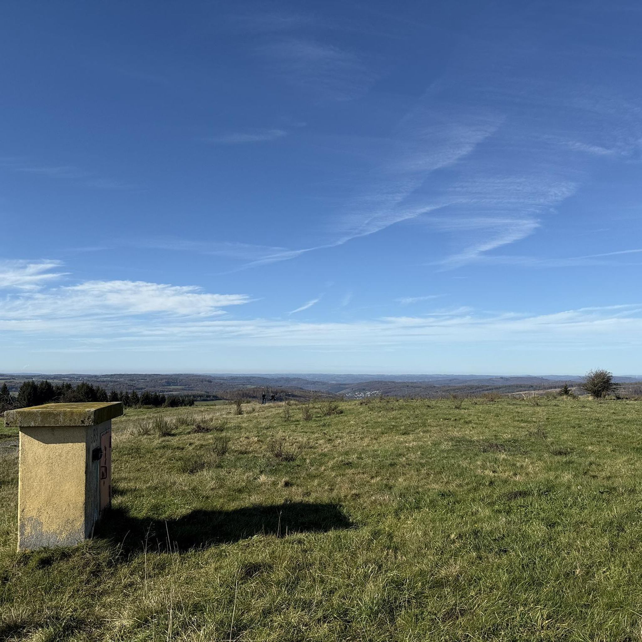
Tips from the Community


One of the eye-catchers in this area: the mountain range runs almost all around and despite the high location there are midsummer days suitable for swimming
0
0
Theoretically, you can see several 4,000-meter peaks from here, but in practice, you feel surrounded by a magnificent mountain world, a mix of rocky giants and green valleys. I really liked the mountain!
0
0

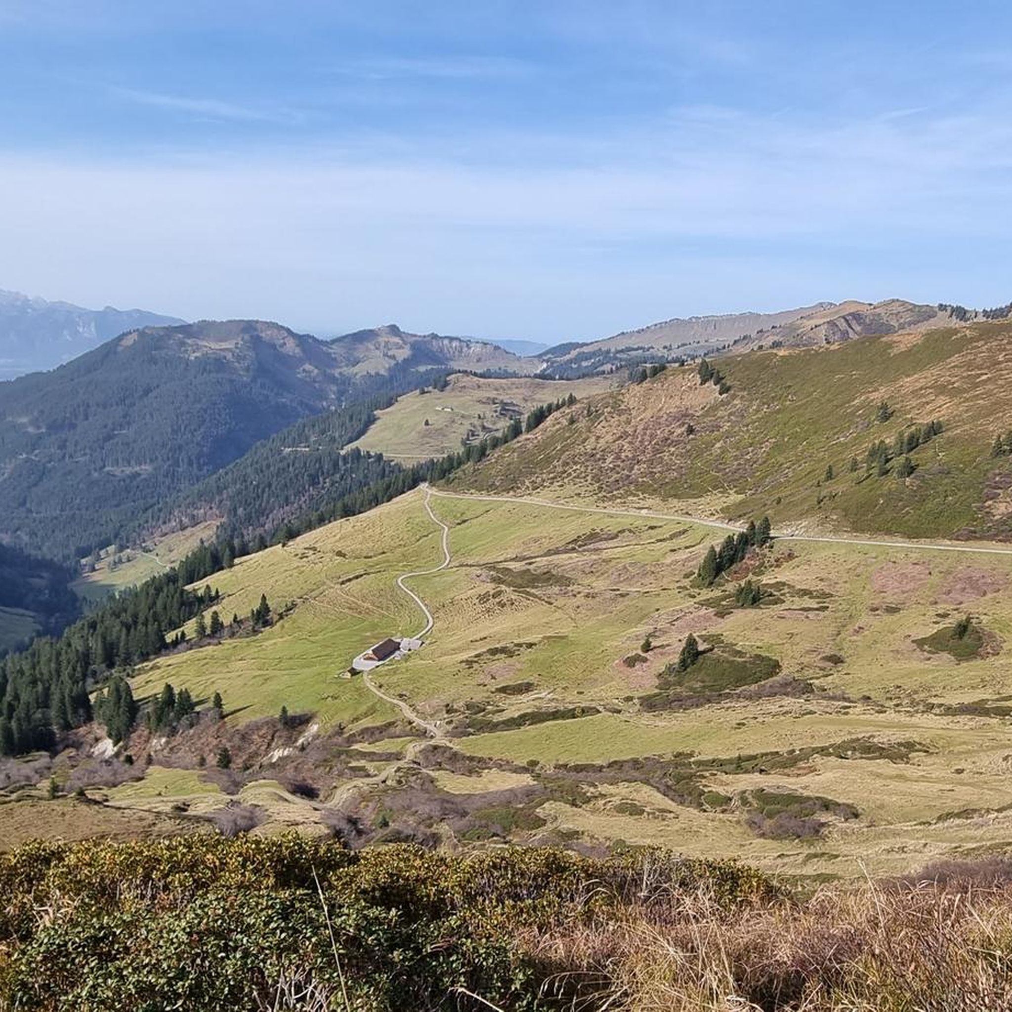
And then it lies down there like a forgotten eye of the landscape: Lake Süns. Dark and round, framed by undulating meadows where summer dwells. No noise, no boats, no paths that claim to lead to the shore. The lake simply looks back – as if you yourself were the stranger in a story that has been told here for much longer. Whoever reaches the pass stands on a line between worlds. Behind you is the lake, in front of you the path to the peak – and to the side, the view stretches far down, where the Rhine Valley disappears. On a clear day, some say you can see Lake Constance. I think you see yourself above all – smaller, but also lighter than you thought. It's not the grand gestures that characterize this hike. It's the way the light clings to the slopes, the way the wind accompanies the path, the way the trail doesn't lead you but invites you. And anyone standing up there—between the Ragazer Grat, the Sünser Joch, and the dark blue of the small lake—may notice: The most beautiful places don't scream. They whisper.
1
0
Deeply embedded in the hilly, melancholy highlands lies Lake Sünser See, like a mystery no one can explain. No shore beckoning for a swim, no jetty that becomes a postcard – only this dark mirror, round like a point of thought. You look down, and the lake looks back. A silent understanding develops between man and landscape, hard to name, but easy to feel. All around, the green spreads out like a tired cloak, crisscrossed by paths that no one hurries along. Up here, silence becomes space, and space becomes something that seems almost sacred. Those who sit down stay longer than planned. And those who leave take something with them that needs no name.
5
0

Most visited ski touring summit in the Damüls area, well worth it. Various descent options with different levels of difficulty and exposure. Long powder fun on the north side.
1
0

Above the Sünserjoch you have to decide: to the Sünserspitze or to the Ragazer Blanken? Here too there is a beautiful view of the Sünsersee.
0
0
This is where the paths that come up from the southeast of Damüls and from the southwest from the Portlaalpe via the Portlafürkele meet. When the weather is good, there is a wonderful panorama in all directions.
0
0
Frequently Asked Questions
How many mountaineering routes are available around Blons?
There are nearly 90 mountaineering routes around Blons, offering a wide range of options for different skill levels. The komoot community has explored these trails over 1300 times, highlighting the region's popularity for alpine adventures.
Are there any easy mountaineering routes suitable for beginners in Blons?
Yes, Blons offers at least one easy mountaineering route. While many trails are moderate or difficult, you can find options that are less strenuous to get started. Always check the route details for elevation gain and terrain before heading out.
What are some challenging mountaineering routes for experienced hikers in Blons?
For experienced mountaineers seeking a challenge, Blons has over 50 difficult routes. A notable option is the Hoher Fraßen Summit Cross – Frassen Hut loop from Raggal. This demanding 10.3 km route involves significant elevation gain, leading to the Hoher Fraßen Summit Cross and passing by the Frassen Hut.
Are there any circular mountaineering routes in the Blons area?
Yes, many of the mountaineering routes around Blons are designed as loops, allowing you to start and end at the same point. For example, the Portlahorn Summit – Portlahorn Ridge loop from Furkajoch is a moderate 6.6 km circular tour offering great views.
What is the best time of year for mountaineering in Blons?
The best time for mountaineering in Blons is typically during the late spring, summer, and early autumn months (June to October). During this period, snow has usually melted from higher elevations, and weather conditions are generally more stable. Always check local weather forecasts and trail conditions before your trip, especially for higher alpine routes.
Are there any mountain huts or restaurants along the mountaineering trails in Blons?
Yes, the Blons region features several mountain huts and restaurants where you can rest and refuel. The Frassenhütte Mountain Restaurant and Freschen Hut are popular spots that can be incorporated into your route planning, offering refreshments and sometimes overnight stays.
What kind of natural attractions can I expect to see along the mountaineering routes?
The mountaineering routes around Blons offer stunning natural beauty. You can encounter impressive geological formations like the Bürs Gorge Trail, reach prominent peaks such as Damülser Mittagspitze, or visit the Hoher Freschen summit cross for panoramic views.
What do other mountaineers enjoy most about the trails in Blons?
The mountaineering trails in Blons are highly regarded by the komoot community, boasting an average rating of 4.8 stars from over 190 reviews. Users frequently praise the diverse alpine landscape, the expansive views from prominent peaks, and the well-maintained paths that traverse rocky terrain, alpine meadows, and coniferous forests.
Are dogs allowed on the mountaineering routes in Blons?
While specific regulations can vary by trail or protected area, generally, dogs are welcome on many mountaineering routes in Blons. It's always recommended to keep your dog on a leash, especially in alpine pastures where livestock may be present, and to ensure you clean up after them. Check local signage for any specific restrictions.
Is parking available at the trailheads for mountaineering routes in Blons?
Yes, most popular trailheads for mountaineering routes around Blons, such as those near Damüls or Furkajoch, offer designated parking areas. It's advisable to arrive early during peak season to secure a spot, especially for longer or more popular routes.
Are there any less-trafficked or 'hidden gem' routes in Blons?
While many routes in Blons are popular, you can find quieter trails by exploring options slightly off the main hubs or by hiking during off-peak hours. The region's extensive network of nearly 90 routes means there are always opportunities to discover a less-trafficked path that still offers stunning alpine scenery.
Most popular attractions around Blons

Get inspired with the komoot mobile app


Explore more
Browse the best Mountain Hikes & Routes in other regions.
