The best mountain hikes around Bürs
4.8
(395)
2,963
hikers
116
hikes
Mountaineering around Bürs offers a diverse alpine landscape within the Bezirk Bludenz, characterized by rugged peaks, high-altitude pastures, and forested valleys. The region features a network of trails that ascend to prominent summits, providing varied terrain for experienced mountaineers. Elevation gains are significant, with routes often traversing rocky sections and exposed ridges.
Best mountaineering routes around Bürs
- The most popular mountaineering route is Mondspitze Summit Cross – Ronaalpe loop from Bürserberg, a 7.9 miles (12.8 km) trail that takes…
Last updated: October 11, 2026
4.8
(14)
110
hikers
12.7km
06:16
930m
930m
Hard mountaineering route. Very good fitness required. Sure-footedness, sturdy shoes and alpine experience required.
4.8
(12)
77
hikers
12.8km
05:45
830m
830m
Hard mountaineering route. Very good fitness required. Sure-footedness, sturdy shoes and alpine experience required.

4.9
(10)
57
hikers
11.3km
05:59
890m
890m
Hard mountaineering route. Very good fitness required. Sure-footedness, sturdy shoes and alpine experience required.
4.5
(4)
38
hikers
12.9km
06:31
1,280m
1,280m
Hard mountaineering route. Very good fitness required. Mostly accessible paths. Sure-footedness required.
25
hikers
5.04km
03:53
630m
630m
Hard mountaineering route. Good fitness required. Sure-footedness, sturdy shoes and alpine experience required.
Get access to more routes and recommendations from other explorers.
Already have an account?
Our route recommendations are based on thousands of hikes, rides, and runs completed by other people on komoot.
Start today with a free account
Your next adventure awaits.
Popular around Bürs
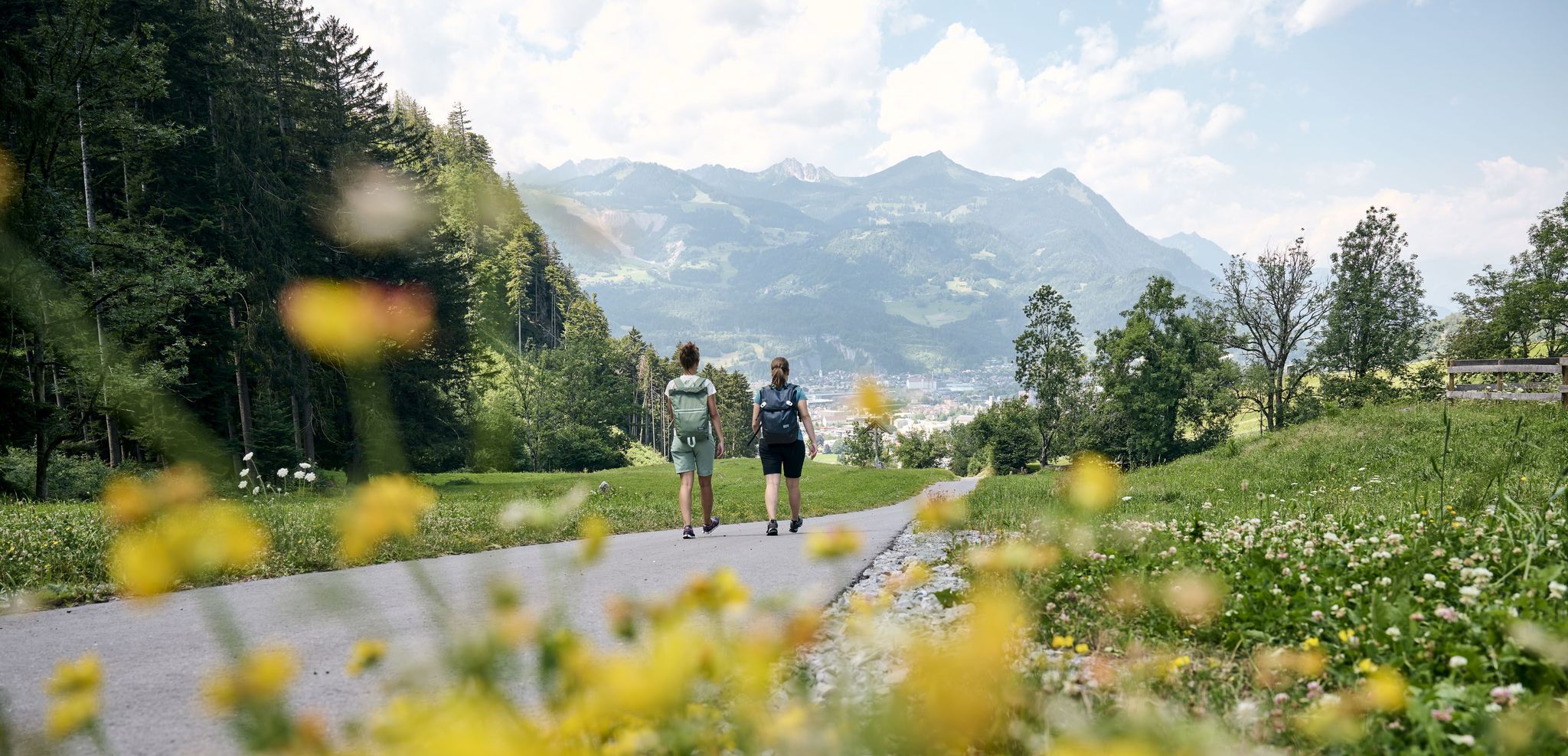
An alpine town and three valleys – beautiful hikes in and around Bludenz
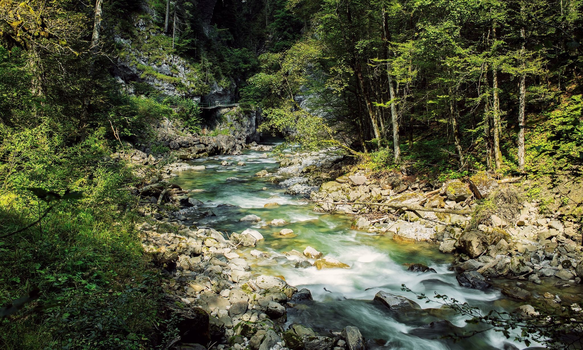
Refreshing cool downs – gorge hikes in Vorarlberg
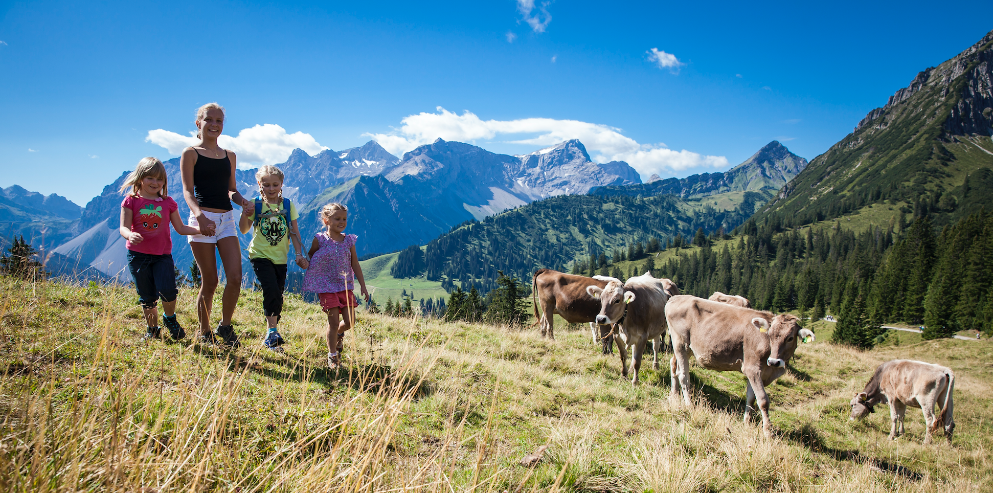
Exploring the Brandnertal
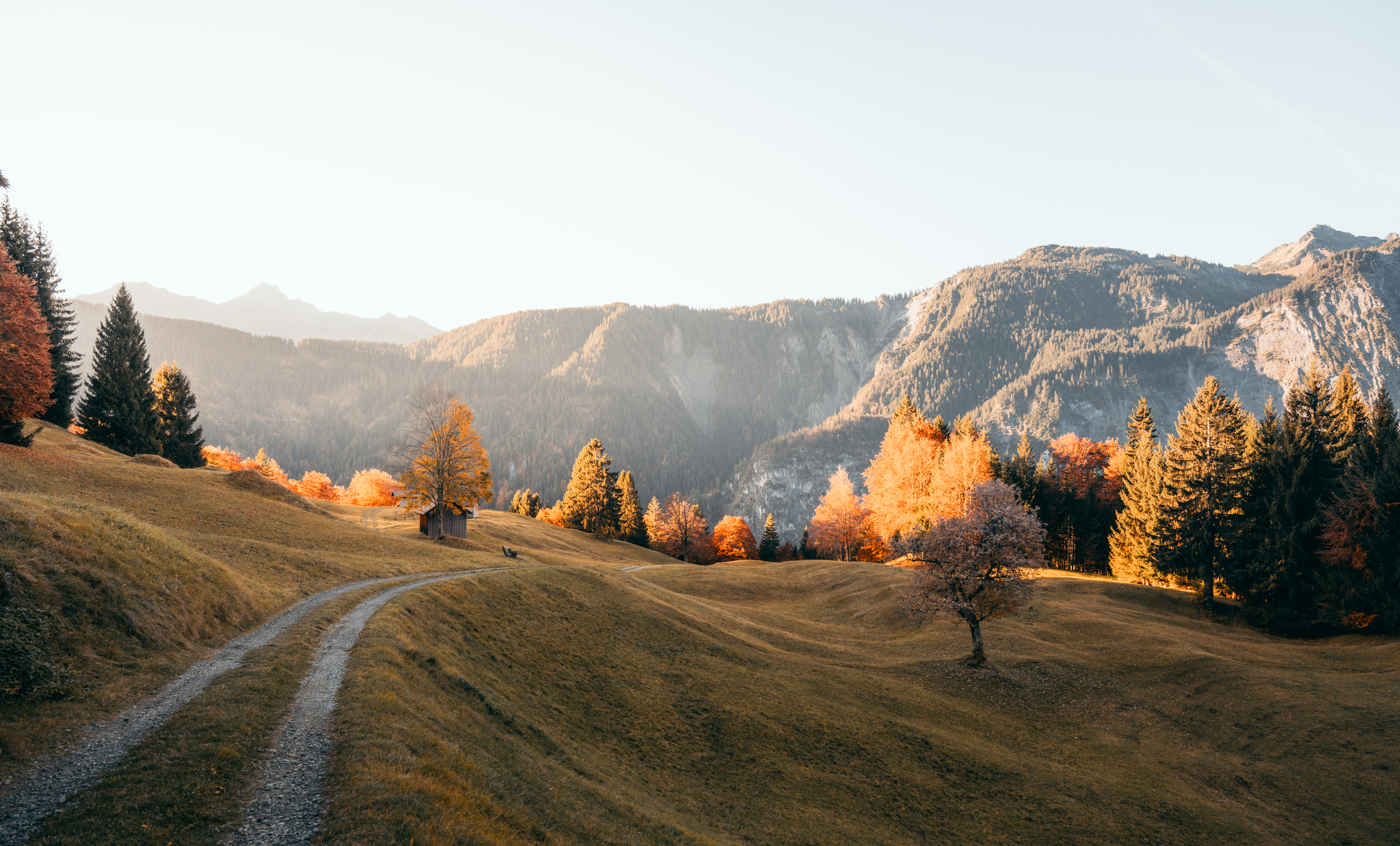
Leicht durch den Herbst - Wandern rund um Bludenz
Frühling zwischen Tal und Höhe – Die schönsten Touren ab Bludenz
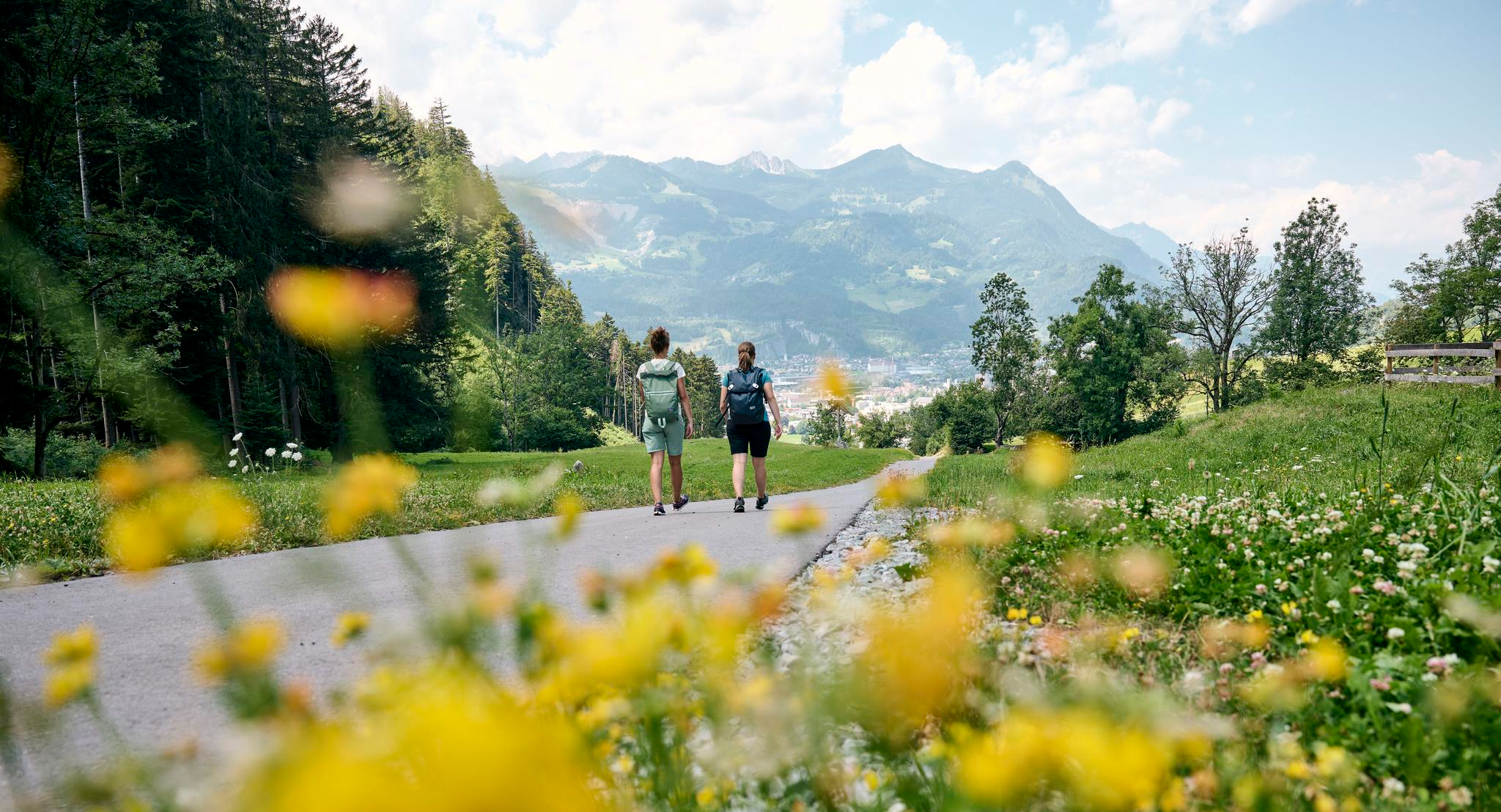
Hiking around Bürs
Cycling around Bürs
MTB Trails around Bürs
Road Cycling Routes around Bürs
Gravel biking around Bürs
Other adventures around Bürs


Tips from the Community

Beautiful small lake with many fish and dragonflies. Next to it an artwork from the AlpineArt round ("Feiger Hochstand")
0
0

Along the atmospheric hiking trail near the Lünersee and the Schafgafall, you will encounter the impressive Witzani Hans memorial. This special memorial cross commemorates the mountaineer Hans Witzani, who died in an avalanche on the south slope of the Schafgafall in January 1938. Did you know that this spot has been a popular resting place for mountain hikers in the Rätikon mountains for decades? While you pause here to reflect on the impressive history and the forces of alpine nature, you are simultaneously rewarded with a beautiful panorama of the surrounding mountain peaks and the sparkling reservoir!
0
0

At the beginning of the ascent T2/T3. Later it becomes rockier, steeper and more exposed. Difficulty from approx. halfway up T3+, later T4- with light climbing sections, partly secured with ropes. The last 250 vertical meters are sweat-inducing, but you are rewarded with a dream panorama.
0
0

There are many bike training opportunities here. Drops, jumps with airbag etc.
0
0
You can have a good snack here.
0
0


On the art hiking trail „Alpine Art“ at Muttersberg, you will discover eight extraordinary works of art that deal with life in the mountains. For example, the sky-blue „Feigen Hochstand“.
0
0
The T4 trail to Schillerkopf, coming from the Tschengla parking lot P3, is relatively easy to manage. There are only a few places where you need to use your hands, the trail is always clearly visible, and only a few sections are exposed.
0
0
Frequently Asked Questions
How many mountaineering routes are available around Bürs?
Bürs offers a wide selection of mountaineering routes, with over 120 tours available. These range from easier paths to challenging multi-hour expeditions across diverse alpine terrain.
Are there any easy mountaineering routes suitable for beginners in Bürs?
While many routes in Bürs are challenging, there are a few easier options. The region features 5 routes classified as 'easy', which can be a good starting point for those new to mountaineering or looking for a less strenuous experience.
What is the typical distance and elevation gain for mountaineering routes in Bürs?
Mountaineering routes in Bürs vary significantly. For example, the Mondspitze Summit Cross – Ronaalpe loop from Bürserberg covers about 12.8 km with an elevation gain of over 930 meters. Another challenging route, the Hoher Fraßen Summit Cross – Frassen Hut loop from Bludenz, is around 12.9 km long with an impressive 1277 meters of ascent.
Are there any circular mountaineering routes in the Bürs area?
Yes, Bürs features several excellent circular mountaineering routes. Popular options include the Ronaalpe – Mondspitze Summit Cross loop from Bürserberg, which navigates alpine meadows and rocky sections, and the Heinrich Hueter Hut – Saulakopf Summit loop from Heinrich-Hueter-Hütte, leading through high alpine terrain.
What is the best time of year for mountaineering in Bürs?
The prime season for mountaineering in Bürs is typically from late spring through early autumn (June to September), when trails are generally free of snow and weather conditions are more stable. Always check local weather forecasts and trail conditions before heading out.
What are the winter conditions like for mountaineering in Bürs?
Winter mountaineering in Bürs presents significant challenges due to snow, ice, and potential avalanche risks. Many high-altitude routes become impassable or require specialized equipment and expertise. It's crucial to consult local alpine guides and avalanche reports if considering winter ascents.
Are there any interesting landmarks or attractions near the mountaineering trails?
Yes, the region around Bürs offers several points of interest. You can explore historical sites like the Oberes Tor (Upper Gate) and Bludenz City Museum or the Gayenhofen Castle. For natural wonders, the Bürs Gorge Trail and Mengschlucht Gorge are also nearby.
What do other mountaineers enjoy most about the routes in Bürs?
The mountaineering routes in Bürs are highly rated by the komoot community, with an average score of 4.8 stars from nearly 400 reviews. Reviewers often praise the diverse alpine landscape, the challenging summit ascents, and the stunning panoramic views from the peaks.
Are there any challenging mountaineering routes for experienced climbers?
Absolutely. Bürs is known for its challenging terrain, with 89 routes classified as 'difficult'. These often involve significant elevation gains, rocky sections, and exposed ridges, providing a demanding experience for seasoned mountaineers. An example is the Swiss Pine Forest – Sarotla Hut loop from Brand.
Is public transport available to access mountaineering trails in Bürs?
Public transport options, such as buses, serve various villages and trailheads in the Bürs region, including Bürserberg and Brand. It's advisable to check local bus schedules and routes in advance to plan your access to specific starting points.
Where can I find parking for mountaineering trails around Bürs?
Designated parking areas are typically available at popular trailheads and in the nearby villages like Bürs, Bürserberg, and Brand. Some mountain huts also offer parking. Always look for official parking signs and be mindful of local regulations.
Most popular attractions around Bürs

Get inspired with the komoot mobile app


Explore more
Browse the best Mountain Hikes & Routes in other regions.
