The best mountain hikes around Sankt Gerold
4.8
(217)
1,340
hikers
87
hikes
Mountaineering routes around Sankt Gerold traverse the alpine landscapes of the Bezirk Bludenz, characterized by prominent summits, high ridges, and forested slopes. The region offers a diverse terrain, from challenging ascents to more moderate paths through valleys and past alpine meadows. These routes often provide expansive views of the surrounding Vorarlberg mountains. The elevation changes are significant, typical of the Austrian Alps, requiring good physical condition for many of the longer routes.
Best mountaineering routes around Sankt Gerold
- The most…
Last updated: October 11, 2026
5.0
(11)
59
hikers
10.2km
04:04
450m
450m
Moderate mountaineering route. Good fitness required. Mostly accessible paths. Sure-footedness required.
37
hikers
11.4km
04:32
750m
750m
Moderate mountaineering route. Good fitness required. Mostly accessible paths. Sure-footedness required.

4.7
(3)
32
hikers
15.0km
06:09
840m
840m
Hard mountaineering route. Very good fitness required. Mostly accessible paths. Sure-footedness required.
5.0
(2)
22
hikers
17.6km
07:07
950m
950m
Hard mountaineering route. Very good fitness required. Mostly accessible paths. Sure-footedness required.
5.0
(4)
20
hikers
Hard mountaineering route. Very good fitness required. Mostly accessible paths. Sure-footedness required.
Get access to more routes and recommendations from other explorers.
Already have an account?
Our route recommendations are based on thousands of hikes, rides, and runs completed by other people on komoot.
Start today with a free account
Your next adventure awaits.
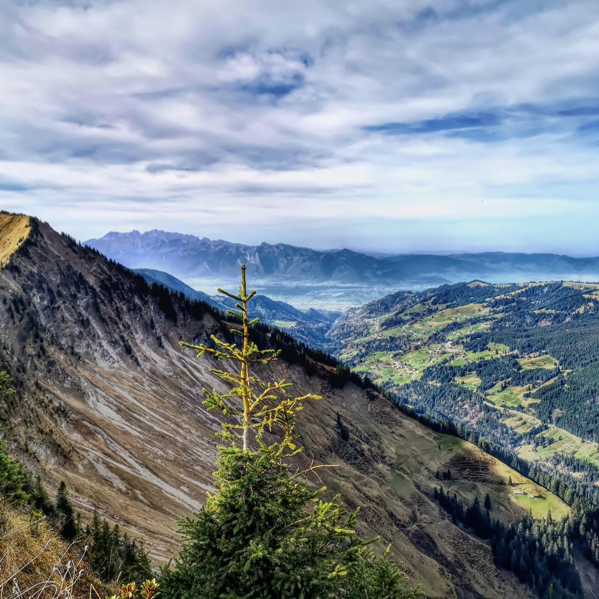
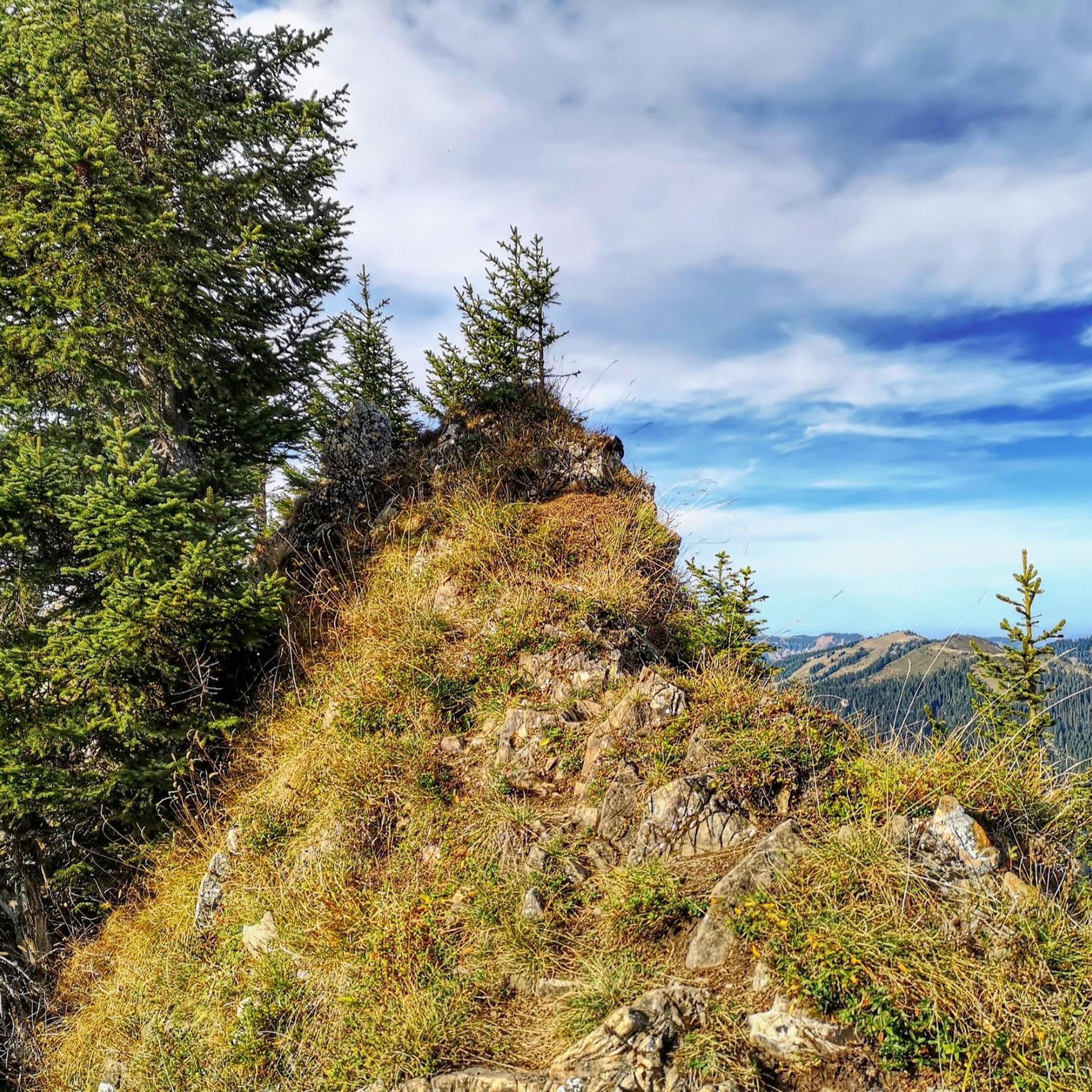
Tips from the Community

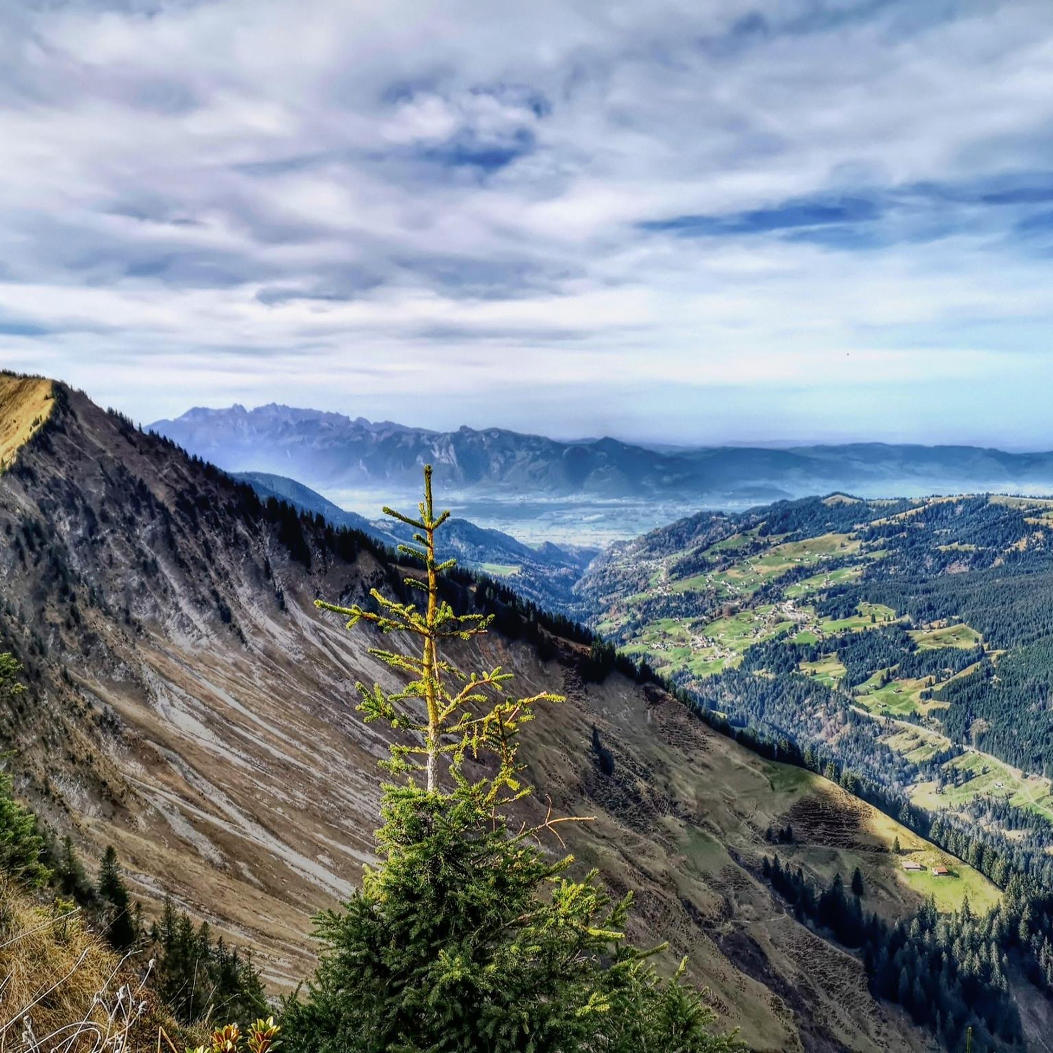
Easily climbable summit near the Freschenhaus.
0
0
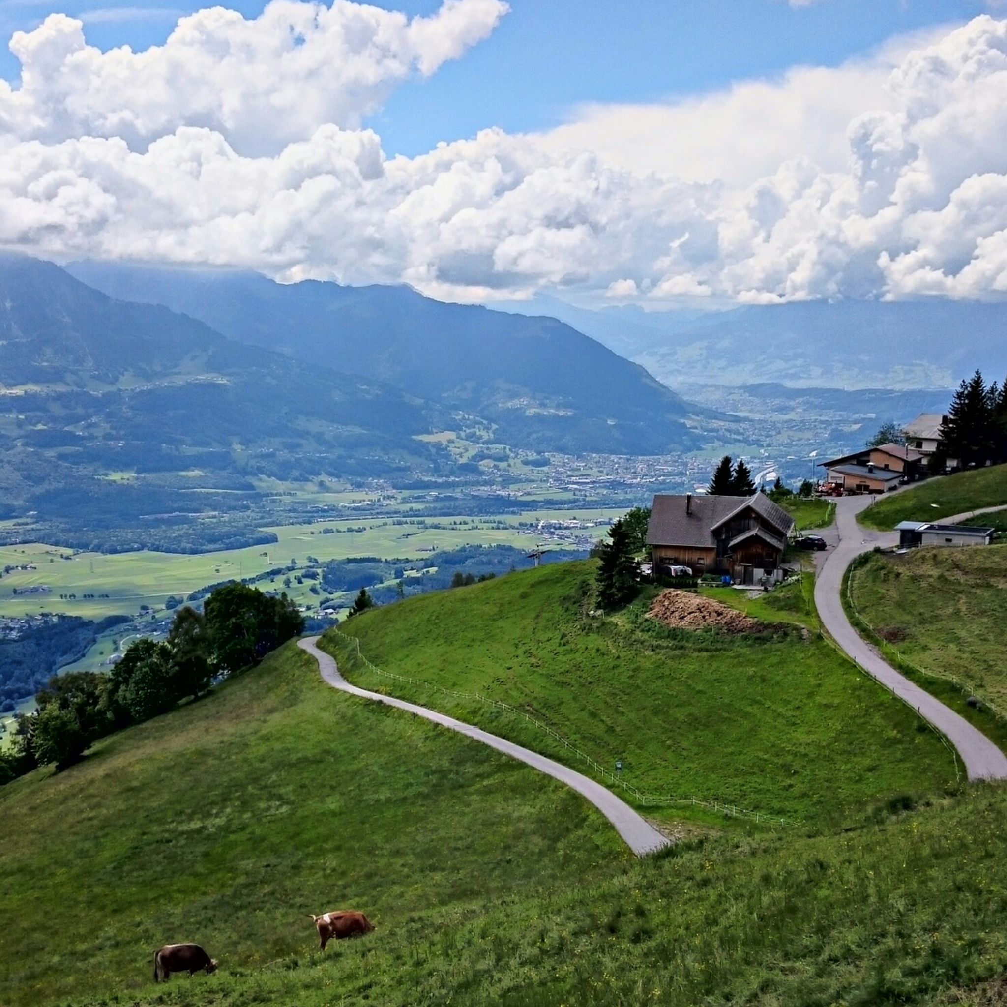
Very clean hut. The food is good and the landlady is friendly.
0
0


One of the eye-catchers in this area: the mountain range runs almost all around and despite the high location there are midsummer days suitable for swimming
0
0
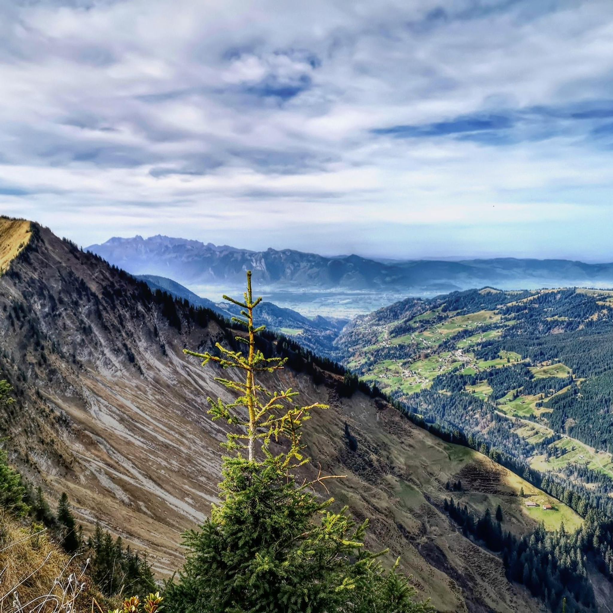
Theoretically, you can see several 4,000-meter peaks from here, but in practice, you feel surrounded by a magnificent mountain world, a mix of rocky giants and green valleys. I really liked the mountain!
0
0

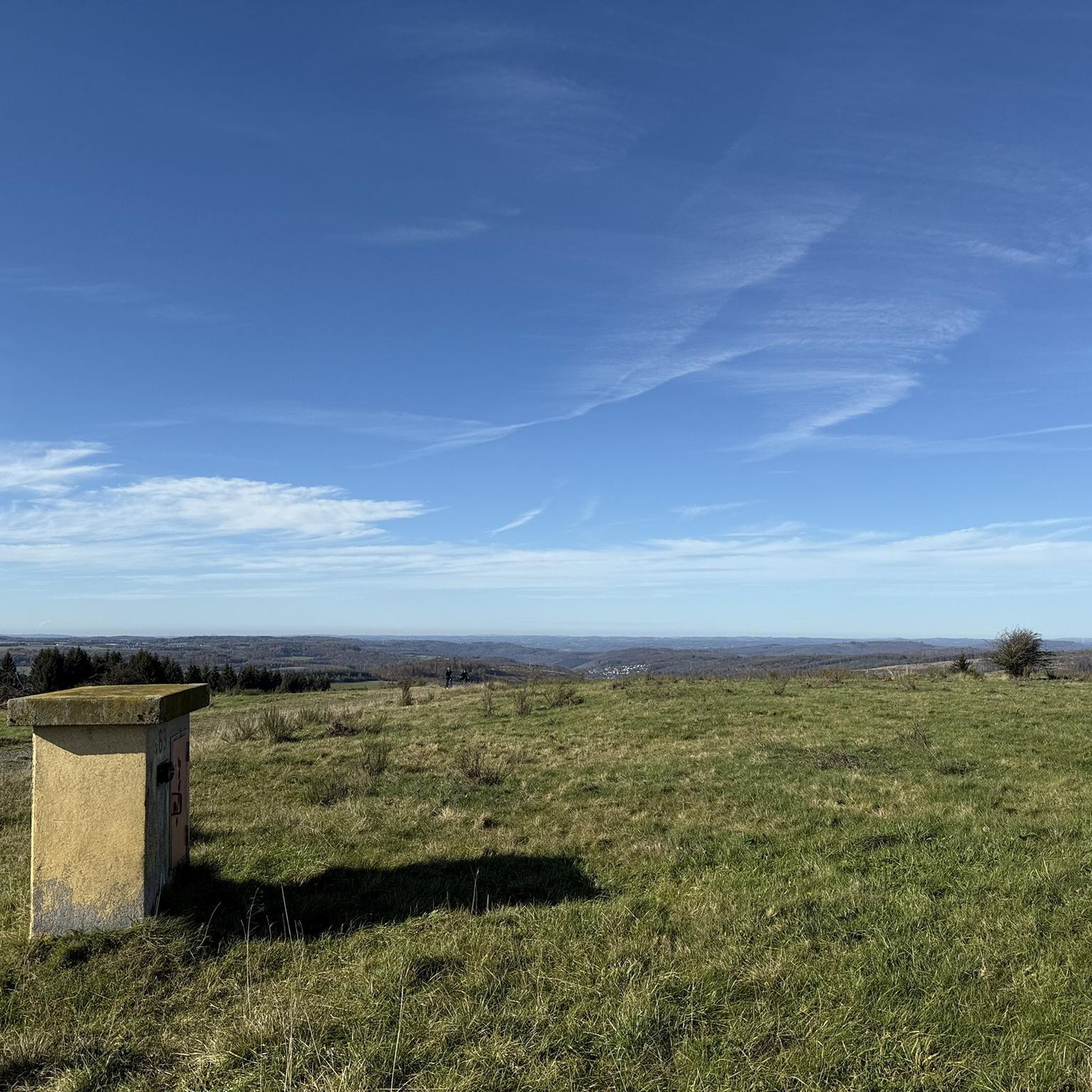
Deeply embedded in the hilly, melancholy highlands lies Lake Sünser See, like a mystery no one can explain. No shore beckoning for a swim, no jetty that becomes a postcard – only this dark mirror, round like a point of thought. You look down, and the lake looks back. A silent understanding develops between man and landscape, hard to name, but easy to feel. All around, the green spreads out like a tired cloak, crisscrossed by paths that no one hurries along. Up here, silence becomes space, and space becomes something that seems almost sacred. Those who sit down stay longer than planned. And those who leave take something with them that needs no name.
5
0

Most visited ski touring summit in the Damüls area, well worth it. Various descent options with different levels of difficulty and exposure. Long powder fun on the north side.
1
0
Frequently Asked Questions
How many mountaineering routes can I explore around Sankt Gerold?
There are over 90 mountaineering routes available around Sankt Gerold, ranging from moderate to difficult, offering diverse experiences across the alpine landscapes of the Bezirk Bludenz.
Are there any easy mountaineering routes suitable for beginners in Sankt Gerold?
While Sankt Gerold is known for its more challenging alpine terrain, there are a few easier mountaineering routes available. These typically involve less elevation gain and shorter distances, making them suitable for those new to mountaineering or looking for a less strenuous experience.
Can I find half-day mountaineering routes in Sankt Gerold?
Yes, several mountaineering routes around Sankt Gerold can be completed in a half-day. For example, the Portlahorn Ridge – Sünser Spitze loop from Furkajoch is a moderate 6.4-mile route that typically takes around 4 hours 5 minutes, perfect for a half-day adventure.
Are there any circular mountaineering routes in the Sankt Gerold area?
Absolutely. Many of the mountaineering routes around Sankt Gerold are circular, allowing you to start and end at the same point. A popular option is the Gehrenfalben loop from Bad Laterns, a moderate 7.0-mile path that winds through varied terrain.
What are some challenging mountaineering routes for experienced hikers?
For experienced mountaineers seeking a challenge, the Hoher Freschen Summit loop from Bad Laterns is a demanding 9.1-mile trail, often completed in about 6 hours 5 minutes. Another difficult option is the Hoher Freschen Summit – View of Hoher Freschen loop from Bad Laterns, which covers 10.9 miles with significant elevation changes.
What kind of scenic viewpoints can I expect on mountaineering routes in Sankt Gerold?
Mountaineering routes in Sankt Gerold often lead to expansive views of the surrounding Vorarlberg mountains. Trails like the Gäviserhöhe - fantastic views – Hoher Freschen summit cross loop from Furkajoch are specifically known for their panoramic vistas from high ridges and summits.
Are there any waterfalls or lakes to see along the mountaineering routes?
Yes, the region around Sankt Gerold features beautiful natural attractions. You might encounter waterfalls such as the Waterfall in the Üble Schlucht or the Marulbach Waterfall. For lakes, consider routes that pass by Lake Galina or Lake Seewald.
What do other mountaineers enjoy most about the routes in Sankt Gerold?
The mountaineering routes in Sankt Gerold are highly rated by the komoot community, with an average score of 4.8 stars from over 200 reviews. Mountaineers often praise the diverse terrain, from prominent summits and high ridges to forested slopes, and the expansive views of the Austrian Alps.
When is the best time of year for mountaineering in Sankt Gerold?
The best time for mountaineering in Sankt Gerold is typically during the warmer months, from late spring to early autumn (June to September), when trails are generally free of snow and weather conditions are more stable. Always check local weather forecasts and trail conditions before heading out.
What should I wear for mountaineering in Sankt Gerold?
Given the significant elevation changes and alpine environment, it's crucial to wear appropriate gear. This includes sturdy hiking boots, layered clothing suitable for varying temperatures, waterproof and windproof outer layers, and sun protection. Always carry enough water, snacks, and a first-aid kit.
Are there options for parking near the trailheads in Sankt Gerold?
Many popular trailheads for mountaineering routes in the Sankt Gerold area, such as those near Furkajoch or Bad Laterns, offer designated parking facilities. It's advisable to check specific route descriptions for detailed parking information before your trip.
Most popular routes around Sankt Gerold
Most popular attractions around Sankt Gerold

Get inspired with the komoot mobile app


Explore more
Browse the best Mountain Hikes & Routes in other regions.
