The best mountain hikes around Tschagguns
4.9
(86)
659
hikers
30
hikes
Mountaineering routes around Tschagguns are set within the diverse landscapes of Austria's Vorarlberg region, nestled in the Montafon Valley. The area is defined by the majestic Rätikon and Silvretta mountain ranges, featuring prominent limestone massifs, high-alpine lakes, and lush alpine meadows. Mountaineers can explore a network of trails that traverse varied terrain, from the Gauertal valley's unique farming landscapes to challenging summit ascents.
Best mountaineering routes around Tschagguns
- The most popular mountaineering route is VO US Gauertalhaus – Antler Tree…
Last updated: September 27, 2026
4.8
(13)
126
hikers
13.2km
04:45
720m
720m
Hard mountaineering route. Good fitness required. Sure-footedness, sturdy shoes and alpine experience required.
5.0
(4)
62
hikers
11.1km
07:59
1,140m
1,140m
Hard mountaineering route. Very good fitness required. Sure-footedness, sturdy shoes and alpine experience required.

4.9
(7)
53
hikers
13.4km
08:00
1,180m
1,180m
Hard mountaineering route. Very good fitness required. Sure-footedness, sturdy shoes and alpine experience required.
5.0
(8)
41
hikers
7.80km
05:52
970m
970m
Hard mountaineering route. Very good fitness required. Sure-footedness, sturdy shoes and alpine experience required.
4.5
(6)
41
hikers
12.1km
06:50
1,150m
1,150m
Hard mountaineering route. Very good fitness required. Sure-footedness, sturdy shoes and alpine experience required.
Get access to more routes and recommendations from other explorers.
Already have an account?
Our route recommendations are based on thousands of hikes, rides, and runs completed by other people on komoot.
Start today with a free account
Your next adventure awaits.
Popular around Tschagguns

Min Weag long-distance hiking trail – From Lake Constance to the Alps
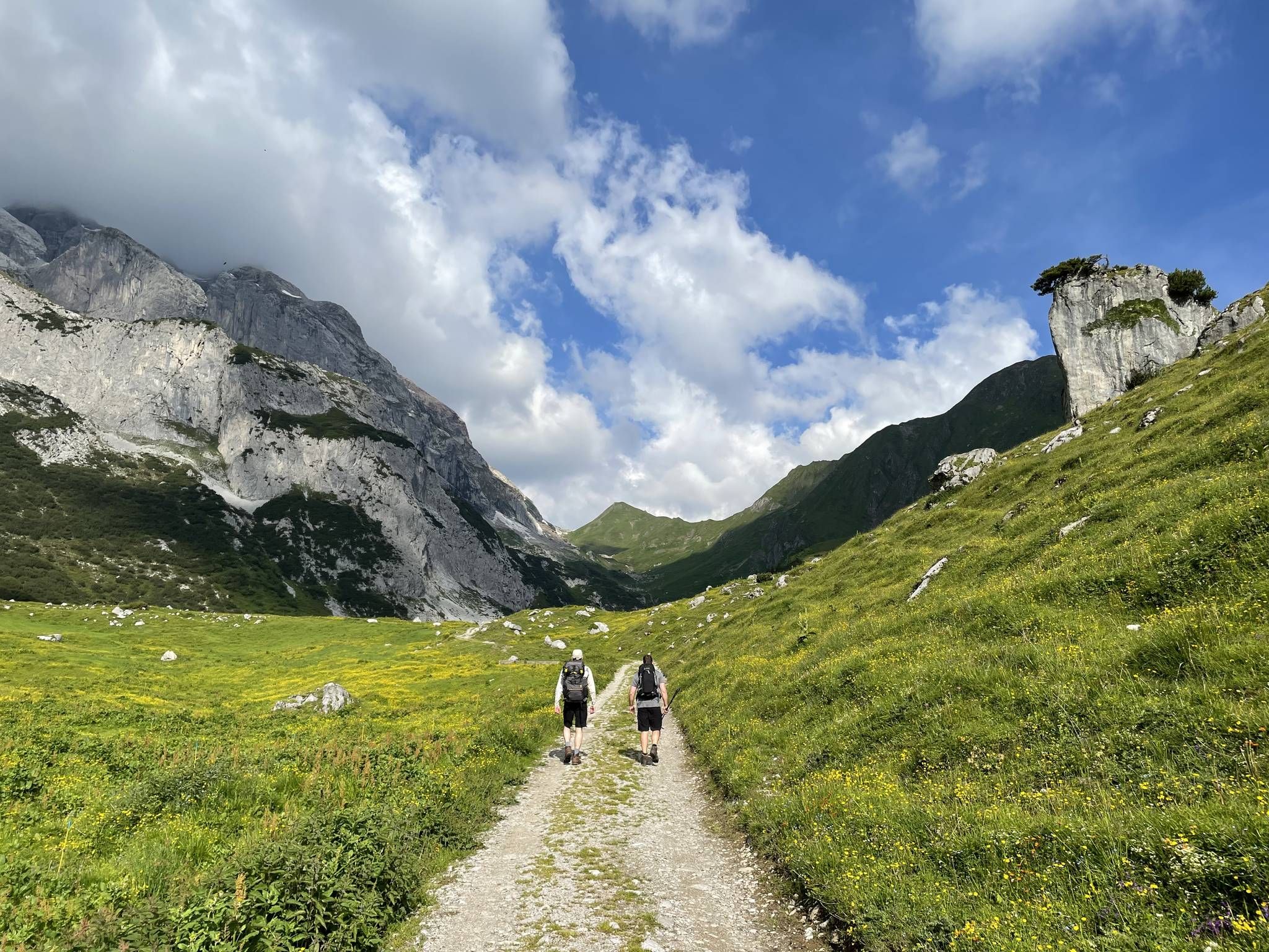
Montafon Hut-to-Hut Hiking Trail – 13 days in Western Austria
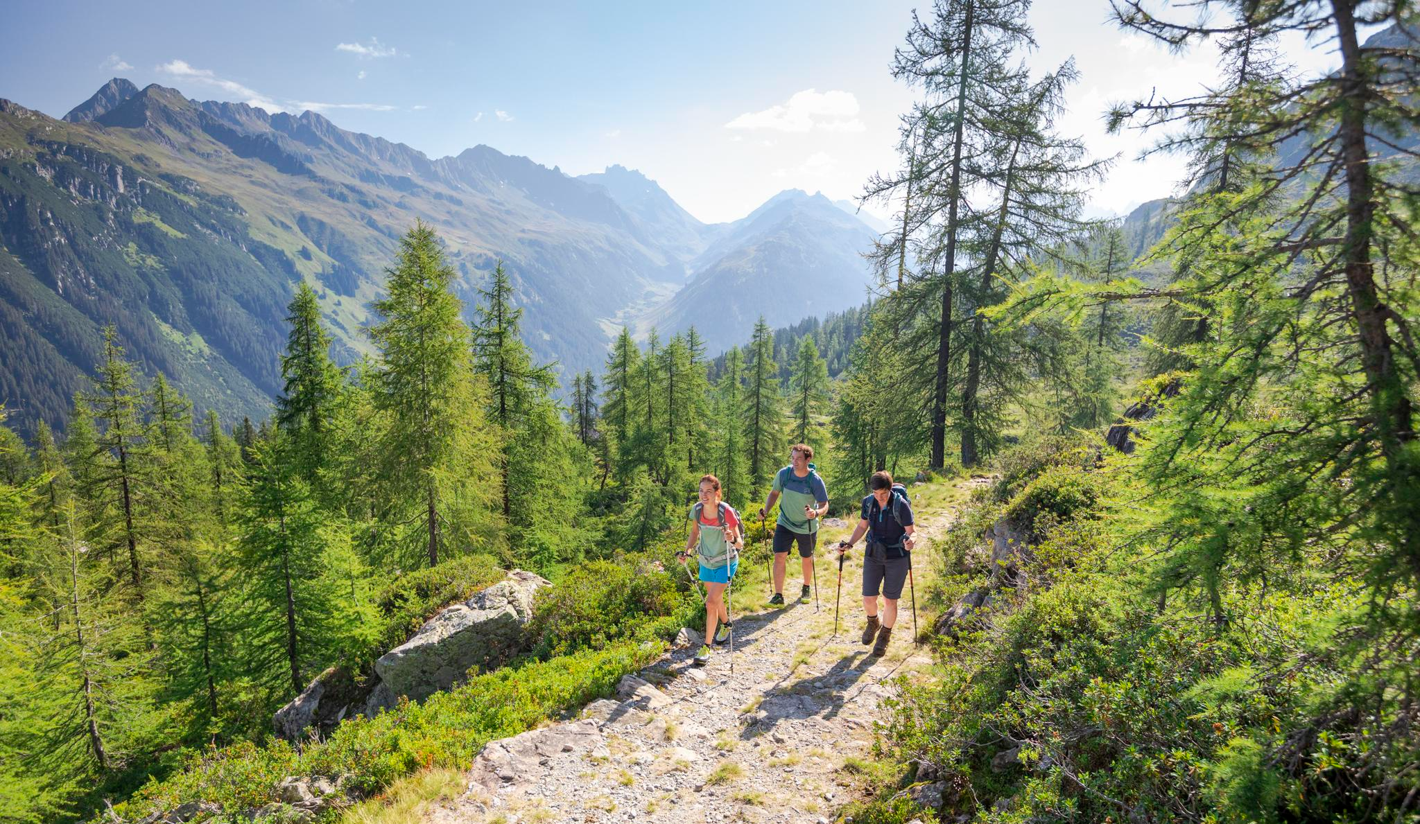
Between Maisäß and Alpe – hiking in Montafon
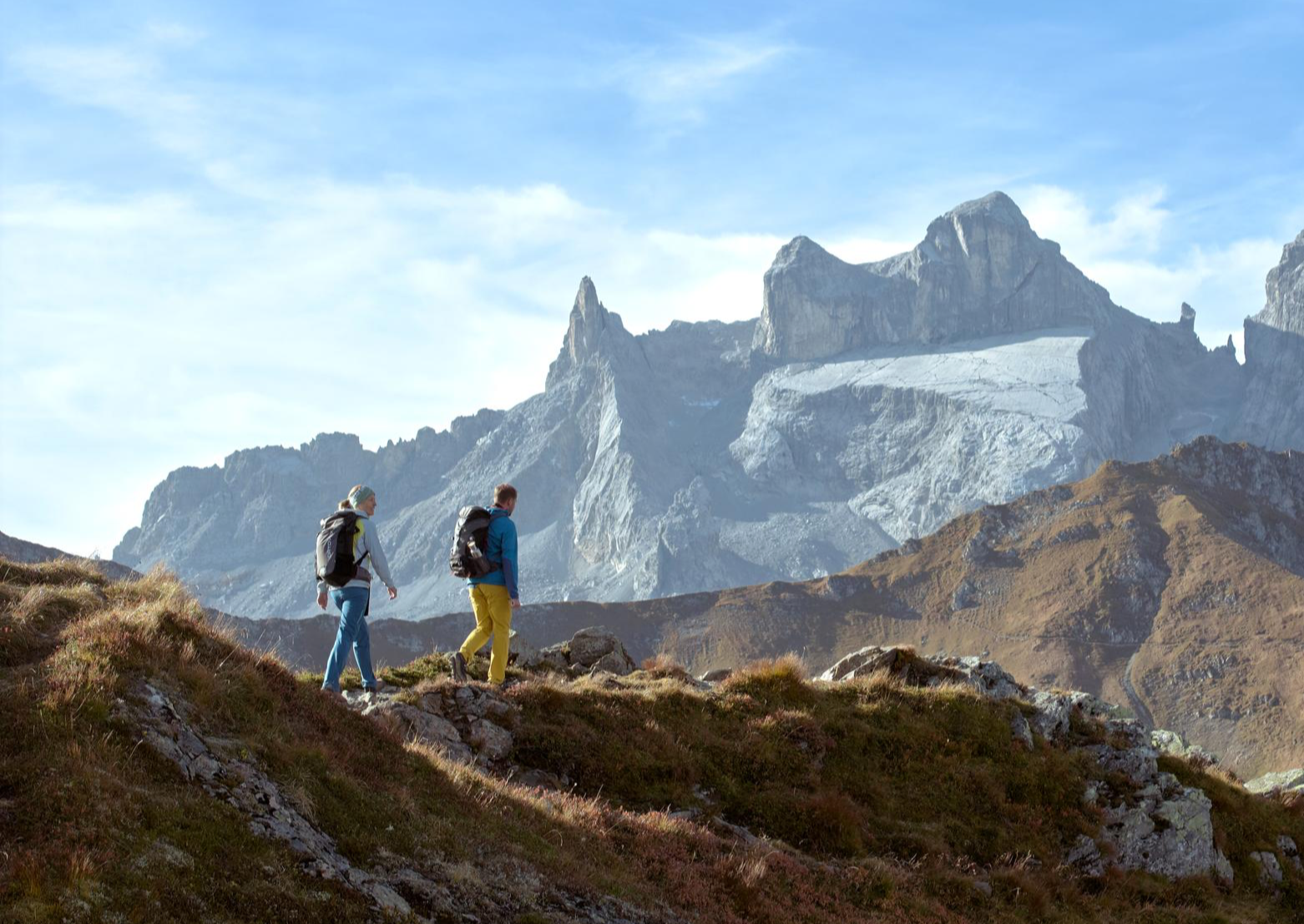
Alpenmosaik Montafon – the most beautiful autumn hikes
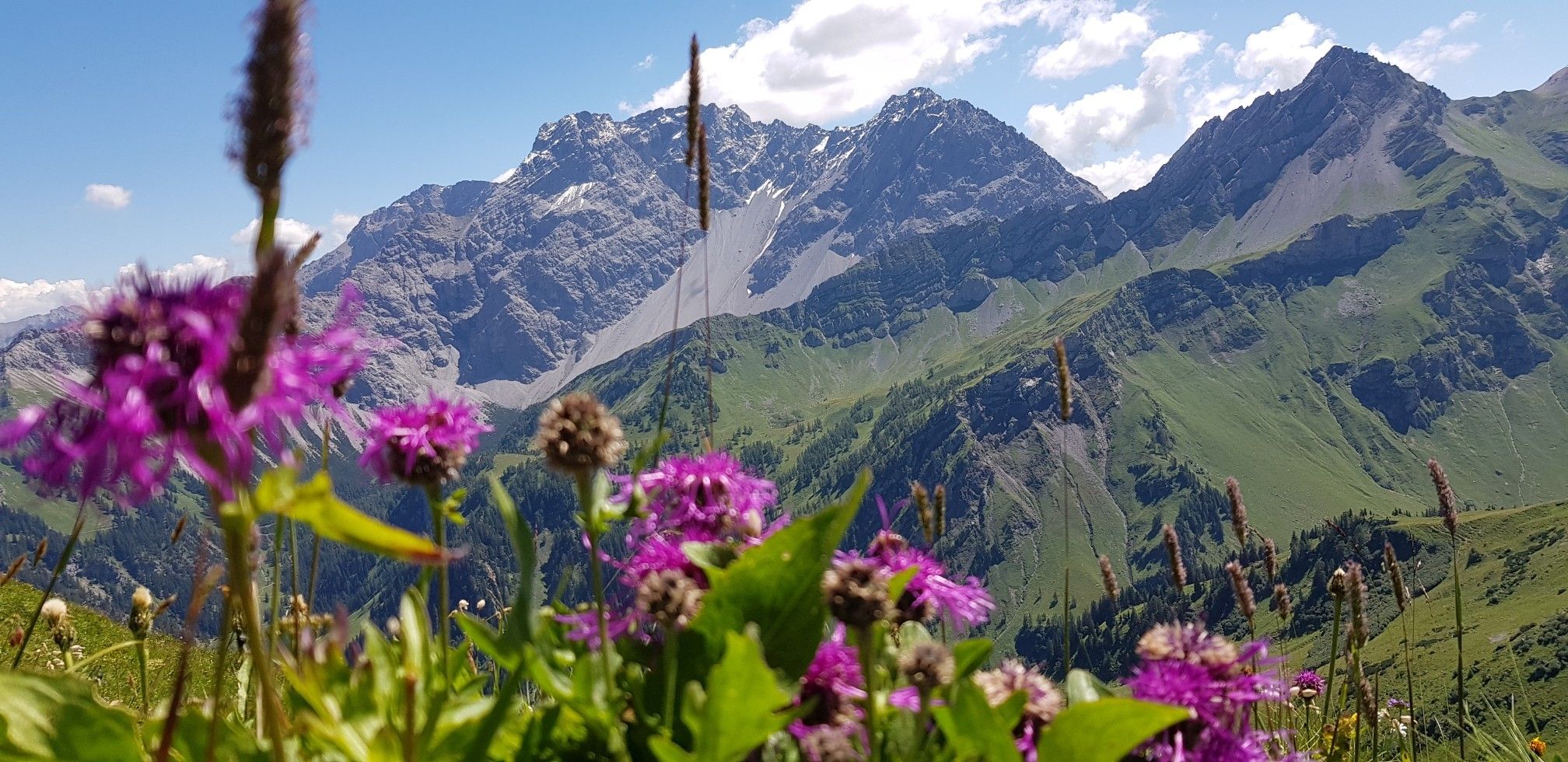
Trans-Rätikon – an adventure in the Tri-Border Region
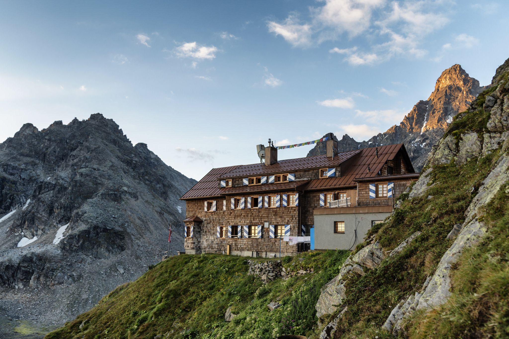
Alpenmosaik Montafon - The Montafoner Hüttenrunde
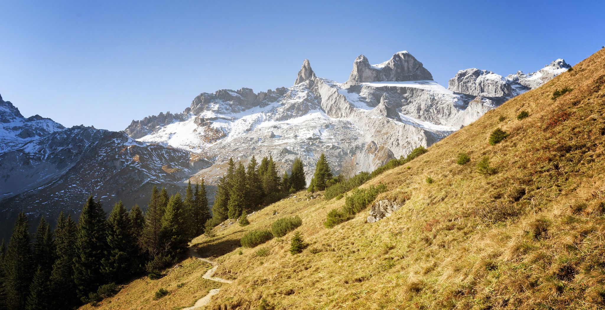
Alpine Mosaic Montafon — Austria’s Rätikon adventure area
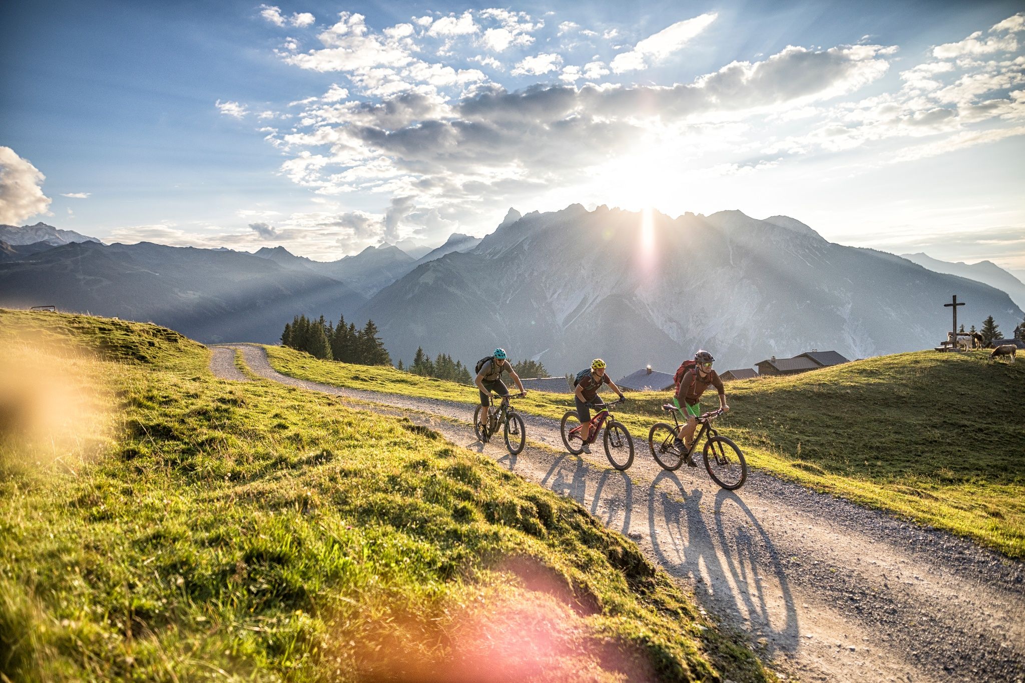
The 10 most beautiful e-mountain bike routes in Montafon
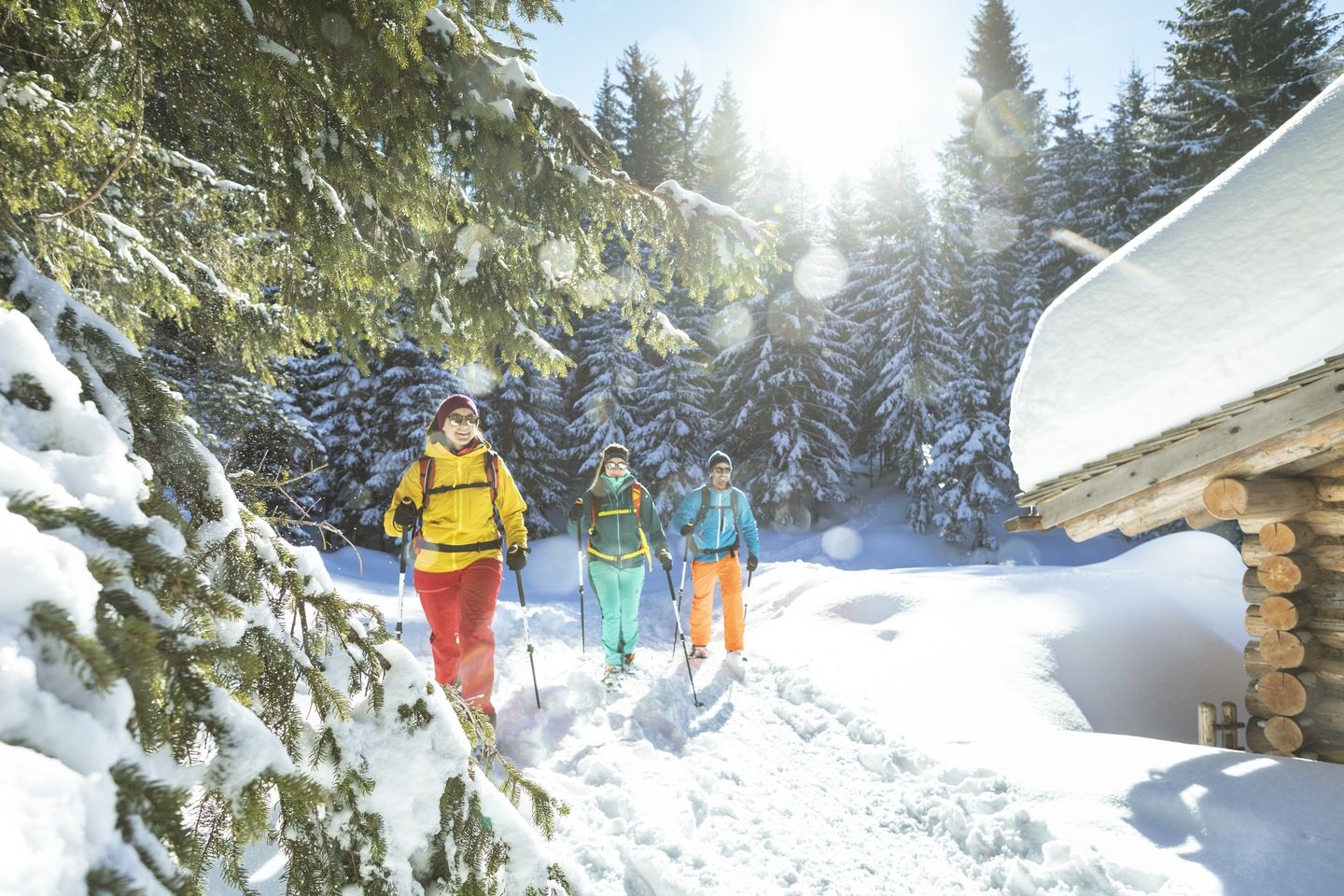
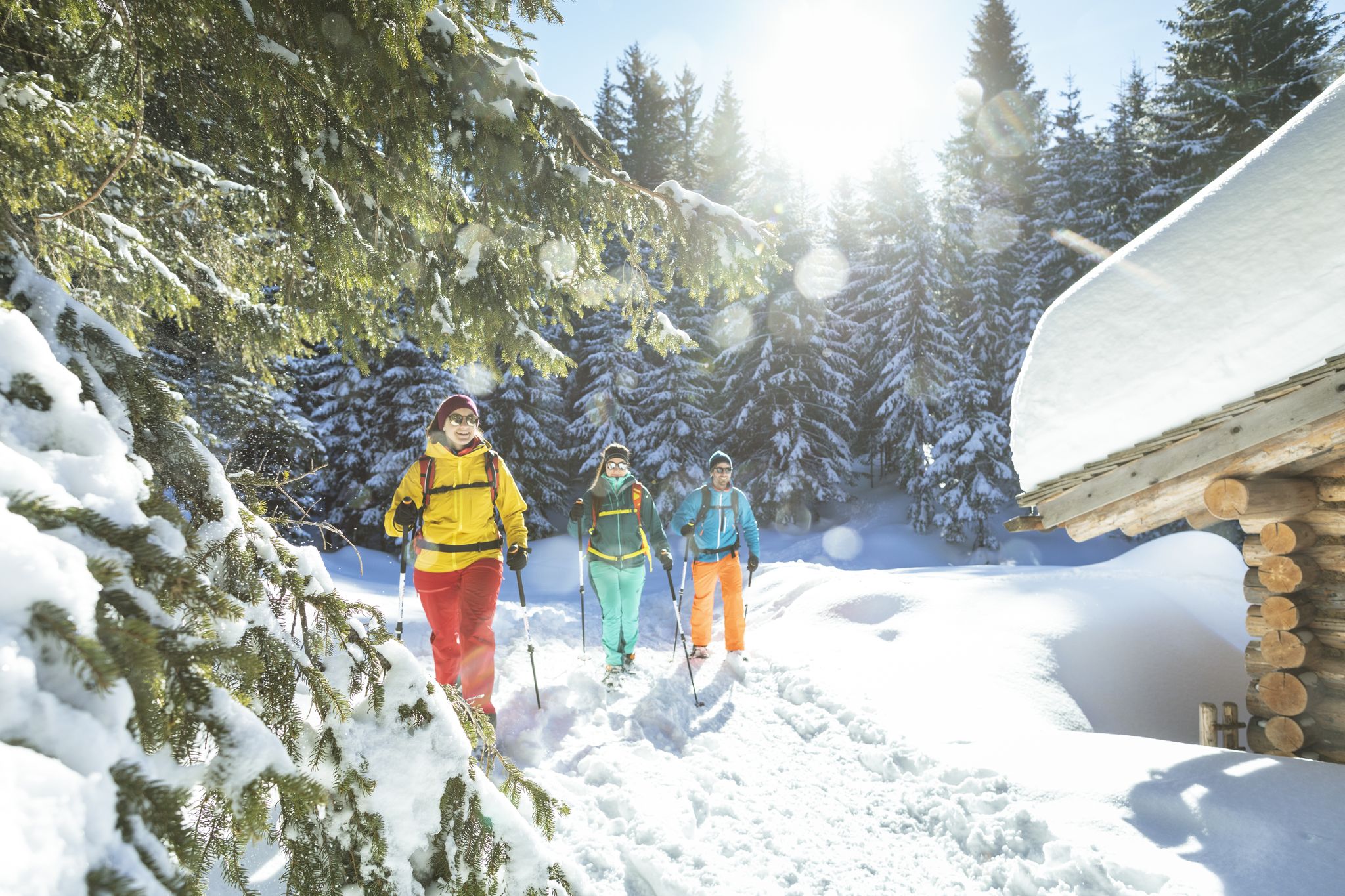
Snowshoe and winter hikes in the Montafon
Snowshoe and winter hikes in the Montafon
Other adventures around Tschagguns


Tips from the Community

On the popular Gauertaler AlpkulTour hiking trail, 13 wooden sculptures lead through the Montafon cultural landscape. Here, Station 13 - The Antler Tree refers to the close and not always entirely smooth relationship between hunting and alpine farming. The term "hunters and gatherers" also establishes a connection, as the shed antlers used here are collected by hunters, and no animals are hunted for this purpose. Another tree-like structure was created again: but the crown of the tree consists of antlers (approx. 150 kg total weight), all of which have been collected by local hunters. https://kfm.at/alpkultour/poi-13-geweihbaum/
1
0

The ascent/descent is quite challenging, and the warning before starting the climb should not be taken lightly. A head for heights and surefootedness are required. The panorama at the summit cross is fantastic, however.
2
0

Also as a descent from Sulzfluh, but only for experienced hikers (passing difficult in places). There is a large Stoneman at the entrance (actual exit).
0
0

It is not without reason that SAC T6 involves a lot of climbing, and in the last part a climb on a steep ridge. No fear of heights is NECESSARY and ropes may also be useful
2
0
The Three Towers play the main role in Montafon and are often referred to as landmarks. They stretch elegantly into the sky like the Dolomites. The Three Towers are located on the border between Austria and Switzerland and are part of the Rätikon. The Three Towers include the small Drusenturm (2,754 m), the middle Drusenturm (2,782 m) and the large Drusenturm (2,830 m).
0
0

This view can be enjoyed halfway up the via ferrata climb
0
0

The ridge connects the Schwarzhorn with the Tschaggunser Mittagsspitze and is crossed on the way from Tobelsee to the Tilisuna Hut
0
0

Very good drinks, yoghurt and delicious cakes. The cheese to take away was just great and everything was homemade
3
0
Frequently Asked Questions
How many mountaineering routes can I explore around Tschagguns?
There are over 30 mountaineering routes available around Tschagguns, catering to a wide range of skill levels. You'll find everything from moderate trails through alpine meadows to challenging ascents in the high-alpine regions.
What kind of terrain can I expect on mountaineering routes in Tschagguns?
Mountaineering routes in Tschagguns offer incredibly diverse terrain. You'll traverse lush alpine meadows, mixed forests, and dynamic landscapes featuring mountain streams and ravines. Higher up, expect dramatic limestone massifs of the Rätikon and Silvretta ranges, including high-alpine lakes and challenging rocky sections.
Are there any easy or moderate mountaineering routes suitable for beginners or families?
Yes, while many routes are challenging, there are options for those seeking a more moderate experience. For example, the VO US Gauertalhaus – Antler Tree Sculpture loop from Bezirk Bludenz is a moderate 8.2-mile trail that offers insights into local alpine culture without extreme difficulty. Another moderate option is the Mountain Panorama – Summit Cross Kreuzjoch loop from Berghof Golm, providing great views.
What are some of the most challenging mountaineering routes in the area?
For experienced mountaineers, Tschagguns offers several demanding routes. The Gauablick Cave – Sulzfluh Summit (2,818 m) loop from Lindauer Hütte is a difficult 6.8-mile path leading to the impressive Sulzfluh Summit. Another challenging option is the Sulzfluh Summit (2,818 m) – Karrenfeld High Plateau loop from Lindauer Hütte, which takes you through high-alpine terrain and the unique Karrenfeld High Plateau.
Are there any circular mountaineering routes around Tschagguns?
Yes, many of the mountaineering routes around Tschagguns are designed as loops, allowing you to start and end at the same point. The VO US Gauertalhaus – Antler Tree Sculpture loop and the Mountain Panorama – Summit Cross Kreuzjoch loop are excellent examples of circular tours that offer diverse scenery.
What natural features or landmarks can I see along the mountaineering routes?
Tschagguns is rich in natural beauty. You can encounter idyllic mountain lakes like Lünersee South Shore and Latschau Reservoir. The region also features dramatic gorges, such as the Bürs Gorge Trail, and impressive peaks like the Zimba (the 'Montafon Matterhorn') and the Drei Türme (Three Towers) in the Rätikon range.
Are there any waterfalls to see while mountaineering in Tschagguns?
Yes, the region's dynamic landscape includes several waterfalls. You might encounter the Teufelsbach Waterfall, which is part of the area's abundant water resources and adds to the picturesque scenery along various trails.
What do other mountaineers enjoy most about the routes in Tschagguns?
The mountaineering routes in Tschagguns are highly rated by the komoot community, with an average score of 4.9 stars from over 80 reviews. Reviewers often praise the diverse landscapes, from the unique Gauertal valley to the dramatic Rätikon and Silvretta ranges, and the well-marked trails that cater to various ability levels.
When is the best time of year for mountaineering in Tschagguns?
The primary mountaineering season in Tschagguns typically runs from late spring to early autumn (May to October), when trails are generally clear of snow and weather conditions are most favorable. This period allows access to high-alpine routes and offers the best opportunities to enjoy the region's natural beauty.
Are there any less crowded mountaineering trails for a more tranquil experience?
While popular routes can see more visitors, Tschagguns offers a vast network of trails. To find less crowded options, consider exploring routes that venture deeper into the Rätikon or Silvretta ranges, or those that are slightly longer in duration. The region's extensive network means you can often find quieter paths away from the main hubs.
What kind of views can I expect from the mountaineering routes?
Mountaineering routes in Tschagguns offer breathtaking panoramic views. From lower elevations, you'll enjoy vistas of the unique three-tiered farming landscapes of the Gauertal valley. Higher up, you'll be rewarded with stunning high-alpine views of the Rätikon and Silvretta mountain ranges, including prominent peaks like the Tschaggunser Mittagsspitze and the majestic Drei Türme.
Most popular routes around Tschagguns
Most popular attractions around Tschagguns

Get inspired with the komoot mobile app


Explore more
Browse the best Mountain Hikes & Routes in other regions.
