The best walks and hikes around Glenkeel
4.2
(12)
125
hikers
10
hikes
Hikes around Glenkeel explore a landscape of rolling hills, dense woodlands, and notable limestone features. The region is part of the Marble Arch Caves Global Geopark, characterized by its Karst topography. The trails navigate through areas like Belmore Forest and past geological points of interest.
Best hiking trails around Glenkeel
- The most popular hiking route is Belmore Forest loop via Pollnagollum Cave, a 3.8 mile (6.1 km) trail that takes about 1 hour 45 minutes to complete. This route…
Last updated: July 11, 2026
3.5
(2)
35
hikers
6.08km
01:45
140m
140m
Easy hike. Great for any fitness level. Easily-accessible paths. Suitable for all skill levels.
5.0
(4)
14
hikers
9.10km
02:26
110m
100m
Moderate hike. Good fitness required. Easily-accessible paths. Suitable for all skill levels.

Sign up for free
5.0
(1)
21
hikers
9.20km
02:38
230m
230m
Moderate hike. Good fitness required. Easily-accessible paths. Suitable for all skill levels.
5.0
(1)
15
hikers
5.29km
01:31
140m
140m
Easy hike. Great for any fitness level. Easily-accessible paths. Suitable for all skill levels.
1.0
(1)
11
hikers
12.5km
03:23
170m
170m
Moderate hike. Good fitness required. Easily-accessible paths. Suitable for all skill levels.
Get access to more routes and recommendations from other explorers.
Sign up for free
Already have an account?
Our route recommendations are based on thousands of hikes, rides, and runs completed by other people on komoot.
Start today with a free account
Your next adventure awaits.
Login or Signup
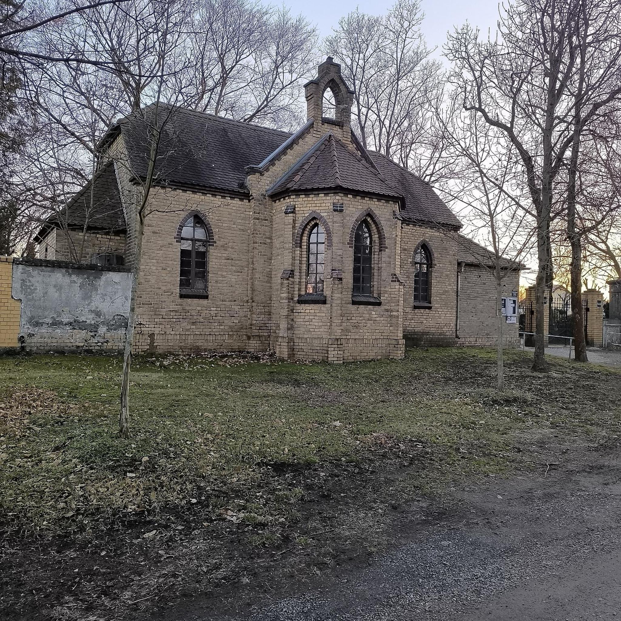
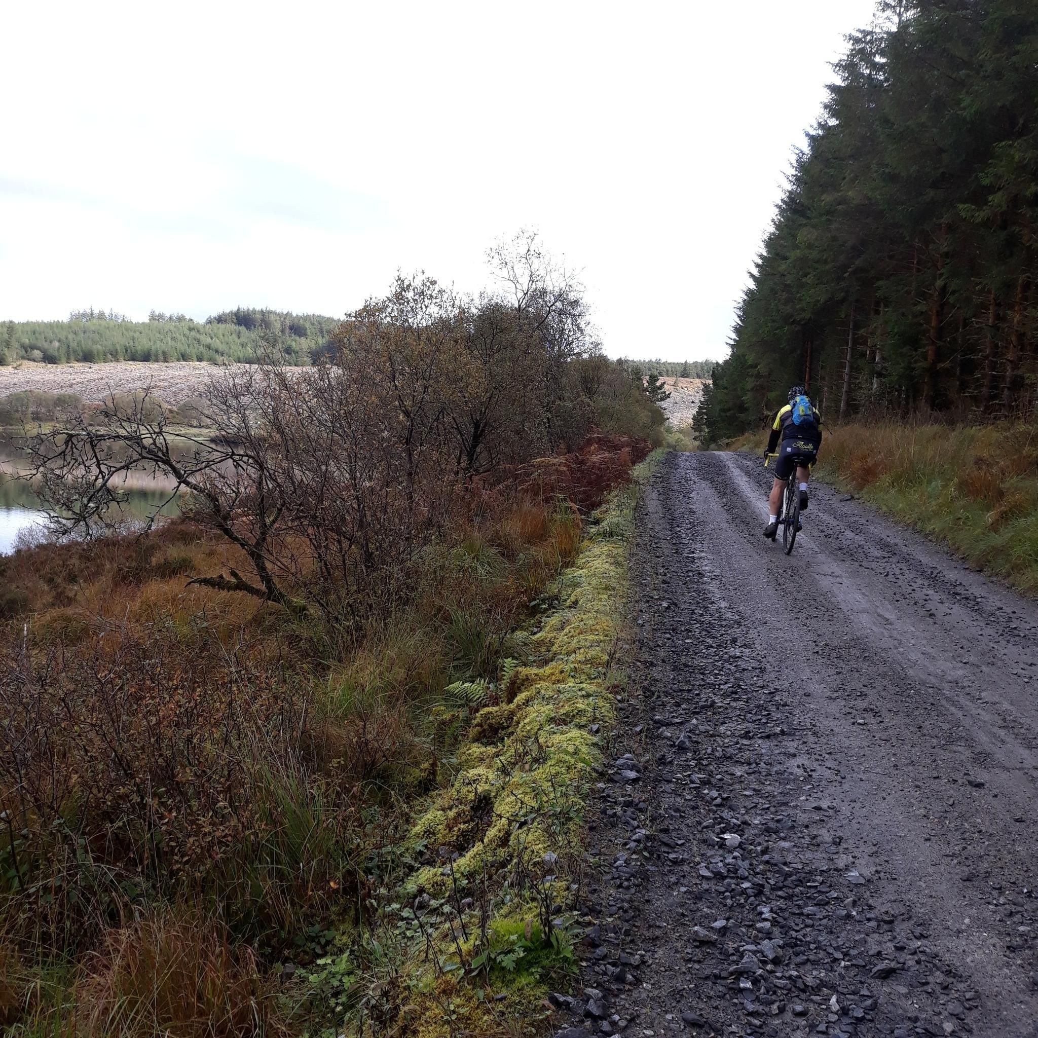
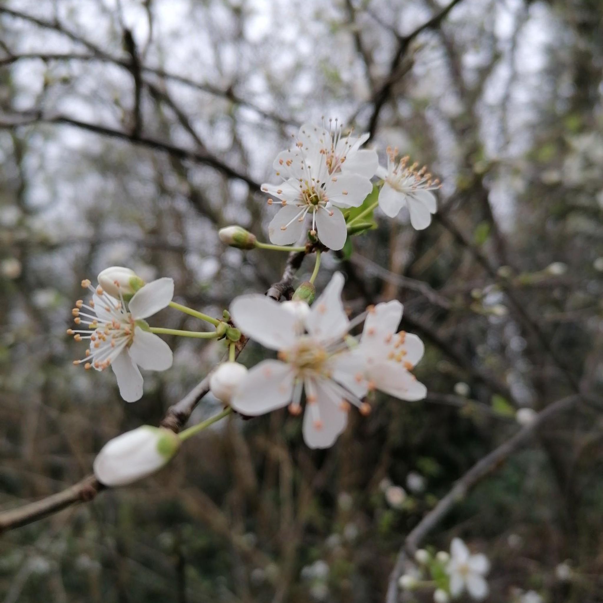
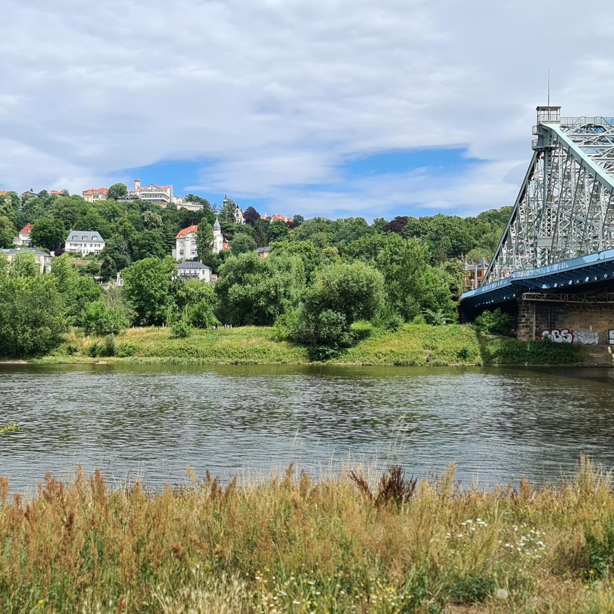
Tips from the Community

"continual slur on Irish caving" It's actually only a few hundred metres is accessible and it's total length is thought to be 2km. No where near the longest cave in Ireland. Consider a trip in only if well equipped with a good light and helmet. Alternatively/also consider visiting McKenzies back lounge just down the road. A much drier watering hole. ;)
1
0

Enjoy a stroll through this gorgeous landscape belonging to the Belmore Uplands. The area is known for it's fascinating wildlife, the most intriguing being the Irish Hare. You'll know if you've spotted a hare over a rabbit because of their black-tipped ears and long black legs.
2
0
Pollnagollum Cave (meaning Hole of the Dove) is the longest cave system in Ireland. The cave system is complex and fascinating and is fed by a tumbling waterfall that topples off a limestone cliff. Watch your stepping here as rocks can be unstable and slippery, and don't forget your camera for some awesome shots.
3
0
If you look closely you can spot the uncanny resemblance this rocky outcrop has with an elderly gentleman.
2
0

Meenameen Lough sits in the wonderful Lough Navar Forest. It is peaceful and quiet with plenty of tree cover, providing the perfect spot to take a break and take in this unspoilt landscape.
0
0

Fairly accessible but not wheelchair accessible. Would be very careful with small children as well
4
0
Frequently Asked Questions
Are there many circular walks in the Glenkeel area?
Yes, many of the trails around Glenkeel are designed as loops, allowing you to start and end at the same point without retracing your steps. A great example of a moderate circular route is the Lough Blocknet loop from Derrygonnelly, which takes you on a scenic tour of the local landscape.
Are the hiking trails around Glenkeel suitable for families with children?
The region offers several easier trails that are well-suited for family outings. The Belmore Forest loop via Pollnagollum Cave is an excellent choice. It's a relatively short walk on well-maintained forest tracks and features a viewing platform overlooking a cave and waterfall, which can be exciting for younger hikers.
Can I bring my dog on the trails?
Many trails in the area are suitable for walking with a dog, but they should be kept on a lead, especially when crossing farmland with livestock. Forest paths, such as those on the Hiking loop from Derrygonnelly, are often a good option for a walk with your canine companion.
Where can I find a hike with a waterfall?
For a rewarding hike that features a waterfall, consider the Blackslee Waterfall loop from Derrygonnelly. This moderate trail leads you through the forest to the scenic Blackslee Waterfall.
What is the terrain like on the more moderate hikes?
Moderate trails in Glenkeel often involve a mix of forest tracks, open moorland, and some ascents with rewarding views. The Meenameen Lough – Old Man's Head loop from Braade is a perfect example, taking you across open terrain to a picturesque lough.
What makes the geology of Glenkeel special for hikers?
The area is part of the Marble Arch Caves Global Geopark and is known for its Karst landscape. This means the limestone bedrock has been shaped by water over millions of years, creating a fascinating network of caves, sinkholes, and dramatic cliffs. You'll see these features throughout your hikes.
How difficult are the hikes around Glenkeel?
The trails range from easy to moderate, making the area accessible for most fitness levels. There are 3 easy and 7 moderate routes available. There are currently no routes rated as difficult, so you can expect well-defined paths and manageable gradients.
Where is the best place to park for hiking?
Parking availability depends on the specific trailhead. For walks in Belmore Forest, there are designated car parks. For routes starting from towns like Derrygonnelly, you can use public parking in the village. Always check the start point of your chosen komoot Tour for specific parking suggestions.
How do I get to the Glenkeel trailheads using public transport?
Public transport options to the direct trailheads are limited, as it is a rural area. The most practical way to access the hikes is by car. Some bus services may run to nearby towns like Derrygonnelly, but you would likely need a taxi to reach the start of most trails from there.
What do other hikers think of the trails in Glenkeel?
The trails around Glenkeel are highly regarded by the komoot community, with an average rating of 4.6 out of 5 stars. Hikers often praise the combination of scenic forest paths, unique geological features like the Pollnagollum Cave, and the overall tranquility of the area.
Are there any other major hiking attractions near Glenkeel?
Yes, the nearby Cuilcagh Boardwalk Trail is a very popular and highly-rated attraction. It features a long boardwalk that protects the blanket bog below and leads to a steep staircase up the mountain, offering spectacular panoramic views. It's a great alternative if you're looking for a different kind of challenge.
What should I pack for a day of hiking in Glenkeel?
Sturdy, waterproof hiking boots are essential as paths can be uneven and muddy. The weather can change quickly, so waterproof outerwear is a must. Also, bring enough water and snacks, as there are no shops on the trails. A map or a fully charged phone with the komoot app is highly recommended for navigation.
Most popular attractions around Glenkeel

Get inspired with the komoot mobile app


Explore more
Browse the best Hikes in other regions.
