The best walks and hikes around Drewsteignton
4.6
(1633)
9,704
hikers
41
hikes
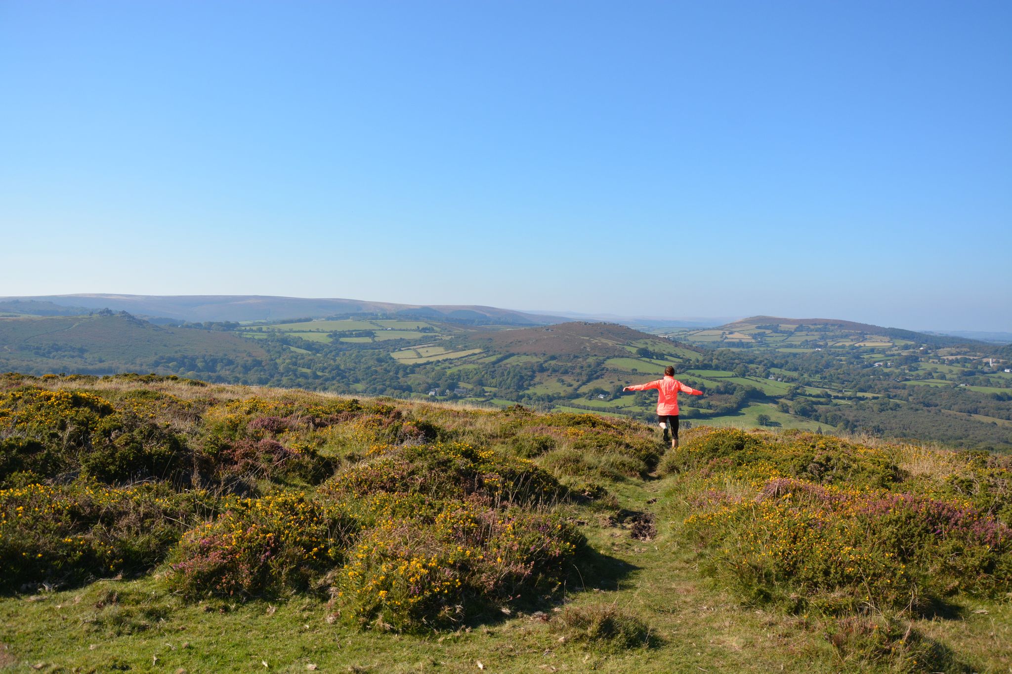
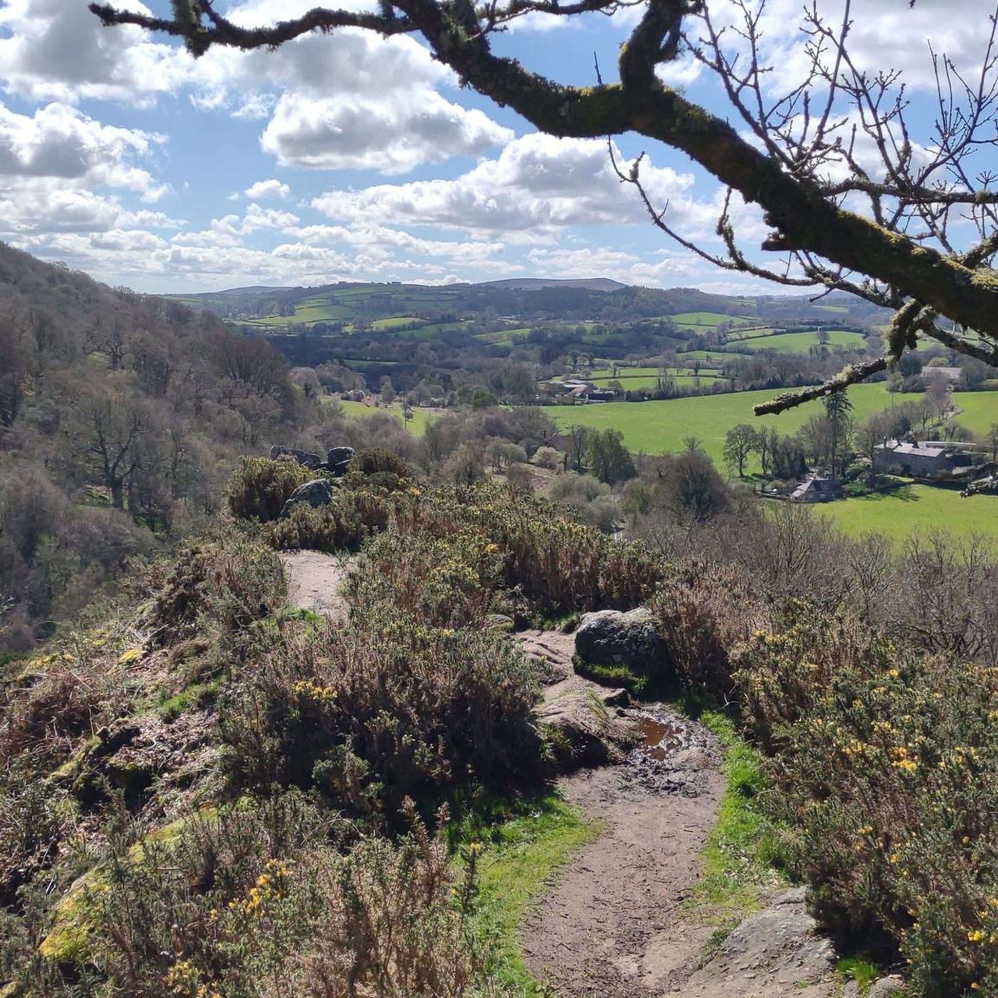
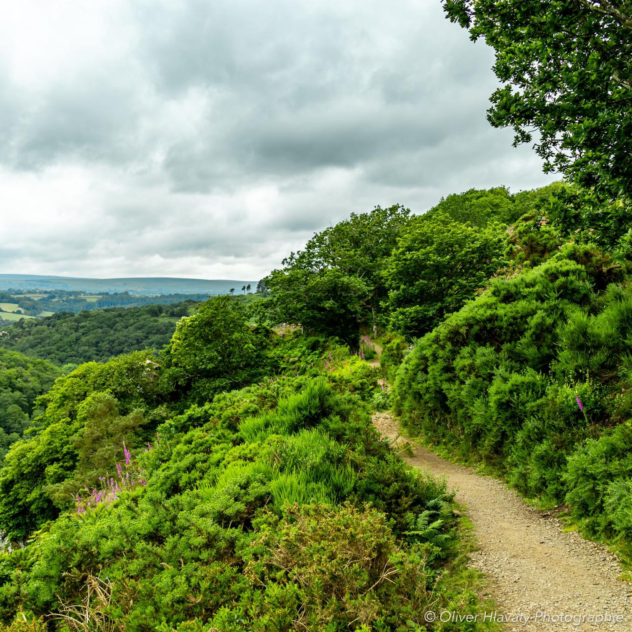
Hiking around Drewsteignton offers access to the diverse landscapes of Dartmoor National Park, characterized by the dramatic Teign Gorge and extensive Fingle Woods. The region features the winding River Teign, providing numerous riverside paths and varied terrain. Hikers can explore open moorland with granite tors, as well as areas of rolling green countryside.
Best hiking trails around Drewsteignton
- The most popular hiking route is Castle Drogo via the Fisherman's Path & the Hunter's Path — Dartmoor National Park, a 4.7 miles (7.6 km) trail that takes 2 hours 11 minutes to complete, offering views of the historic castle and river.
- Another top favourite among local hikers is Riverside path along the River Teign – Fingle Bridge loop from The Drewe Arms, a moderate 6.2 miles (9.9 km) path. This route follows the scenic River Teign through the gorge, passing Fingle Bridge.
- Local hikers also love the Hunter's Path – Fingle Bridge loop from Drewsteignton, a 3.0 miles (4.8 km) trail leading through Fingle Woods and along the river, often completed in about 1 hour 29 minutes.
- Hiking around Drewsteignton is defined by the steep-sided Teign Gorge, dense Fingle Woods, and the open moorland of Dartmoor National Park. The network offers options for different ability levels, from gentle riverside strolls to more challenging ascents.
- The routes in Drewsteignton are highly rated by the komoot community with an average score of 4.6 stars from over 380 reviews. More than 2,700 hikers have used komoot to explore Drewsteignton's varied terrain.
Last updated: October 3, 2026
4.8
(250)
1,437
hikers
Embark on a moderate hike through Dartmoor National Park, covering 4.7 miles (7.6 km) with an elevation gain of 615 feet (188 metres), typically taking 2 hours and 10 minutes. This circular route guides you through the scenic Teign Gorge, where the River Teign flows peacefully. You will encounter mixed terrain, including natural paths and some steep sections as you enter and exit the gorge. Look out for the historic 17th-century Fingle Bridge and the impressive crag of Sharp Tor, which offers expansive views of the gorge and Castle Drogo. The ancient woodlands along the river are home to various birds and Fallow deer, while Dartmoor ponies graze on Piddledown Common. Wildflowers like bluebells and heather add seasonal color to your journey. This trail blends natural beauty with cultural landmarks, making it a popular choice for intermediate walkers. You will navigate both flat and uneven sections, including steep descents and climbs, so proper walking footwear with good support is recommended for potentially muddy or slippery areas. Handrails are present on some steeper parts of the Fisherman's Path to assist you. This trail is particularly notable for combining stunning natural landscapes with significant historical elements. You will explore the Teign Gorge and the River Teign, and pass by Castle Drogo, often called England's last castle, designed by Sir Edwin Lutyens. The route also incorporates a section of the Two Moors Way, adding to its regional significance. It is highly regarded as one of the UK's top scenic hiking routes, offering a rich experience for those interested in both local history and the natural splendor of Dartmoor.
4.8
(60)
430
hikers
7.90km
02:04
60m
60m
Moderate hike. Good fitness required. Easily-accessible paths. Suitable for all skill levels.

4.9
(12)
78
hikers
Moderate hike. Good fitness required. Easily-accessible paths. Suitable for all skill levels.
4.8
(15)
131
hikers
16.1km
04:39
380m
380m
Moderate hike. Good fitness required. Easily-accessible paths. Suitable for all skill levels.
5.0
(8)
102
hikers
8.45km
02:15
90m
90m
Moderate hike. Good fitness required. Easily-accessible paths. Suitable for all skill levels.
Get access to more routes and recommendations from other explorers.
Already have an account?
Our route recommendations are based on thousands of hikes, rides, and runs completed by other people on komoot.
Start today with a free account
Your next adventure awaits.
Popular around Drewsteignton



Tips from the Community

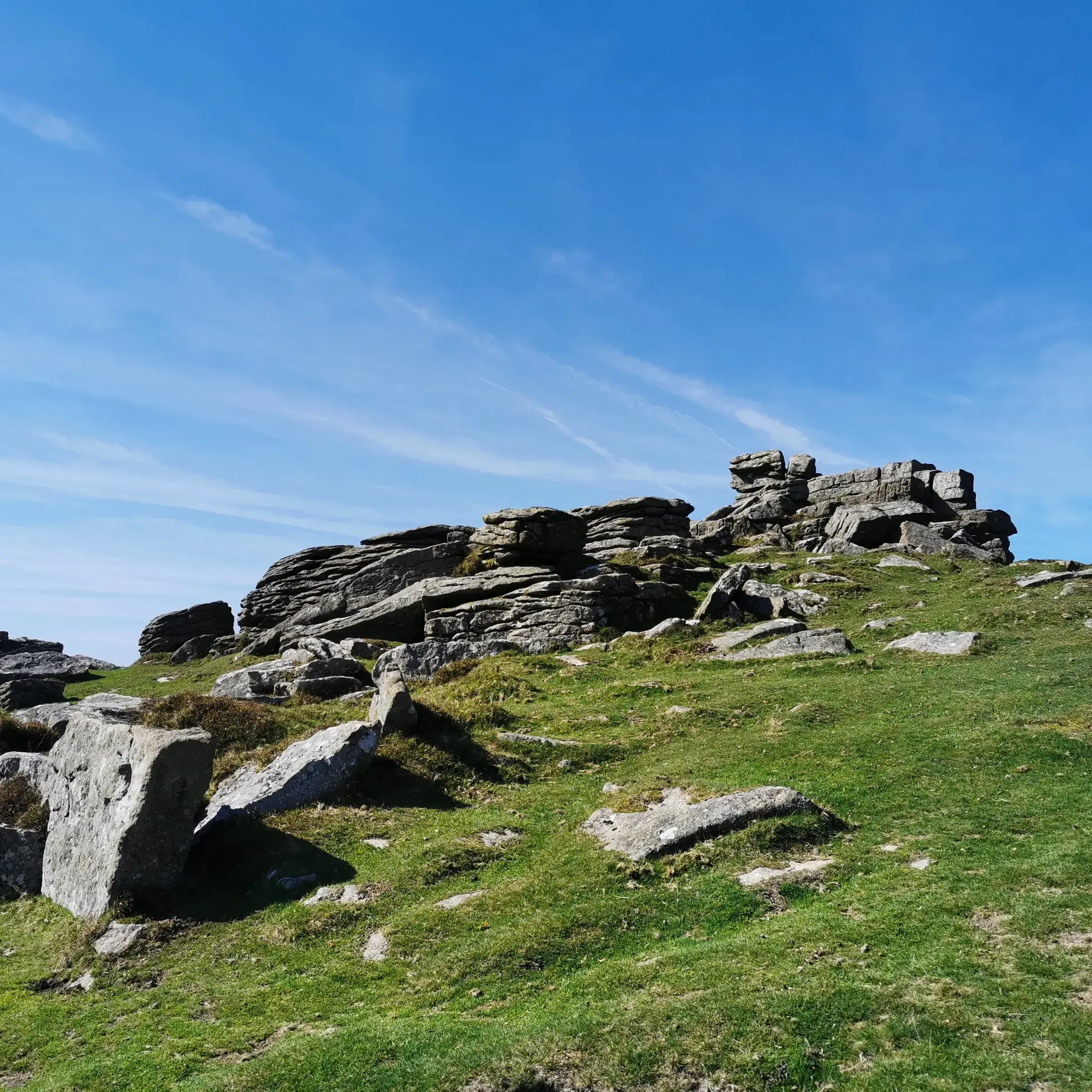
Hunters Tor on Dartmoor – overview and practical guide Notes on the feature Name variants: Hunters Tor (also found in some guides as “Hunters’ Tor” or “Hunters Tor” with occasional apostrophe usage). It is one of the granite tors you’ll encounter on the eastern Dartmoor plateau. Location context: Situated on the eastern Dartmoor moor, in the general area between Widecombe-in-the-Moor and the higher moorland to the north and east. It’s often visited as part of longer routes from classic eastern Dartmoor starting points. What to expect Elevation and geology: A granite tor typical of Dartmoor—weathered outcrops with rough boulder features and exposed granite. Provides a vantage point to survey surrounding moorland. Scenery: Wide moorland views with horizon lines; potential for good visibility across East Dartmoor on clear days. Getting there Access points: Likely starting points include car parks and laybys near the eastern moor, with access from roads serving Widecombe-in-the-Moor, Ashburton, or Two Bridges. Public transport: Buses to nearby villages with a short walk onto the moor; check current timetables. Parking: Local parking areas around the eastern moorland; follow local signage and
0
0
Sharp Tor on Dartmoor – overview and tips Notes on the name Sharp Tor is a well-known tor on Dartmoor, sometimes spelled “Sharp Tor” or “Sharp’s Tor” in regional references. It is one of the classic granite tors that dot the eastern moor. Location context: Sharp Tor sits in the eastern part of Dartmoor National Park, behind or near the villages of Widecombe-in-the-Moor and intersecting with other moorland features such as Haytor and Hound Tor in the wider area. What to expect Elevation and geology: Granite tor forming a rocky outcrop that offers elevated views over the surrounding moor. Typical Dartmoor granite features, weathered by wind and rain into distinctive boulders and crags. Scenery: Expansive moorland around, open horizons, and, on clear days, distant views toward the coast. Getting there Access points: - Likely starting points include nearby car parks on the eastern Dartmoor plateau and routes from towns like Ashburton or Widecombe-in-the-Moor. Public transport: Bus routes to nearby villages with a short walk onto the moor. Parking: Depending on the exact access point, there are local parking areas; check current signage and National Trust/ Dartmoor NPA guidance. Popular routes and what to expect Short circulars: There are moorland circuits that incorporate Sharp Tor as a highlight, often around 2–4 miles (3–6 km) depending on the exact start point. Longer explorations: Combine Sharp Tor with adjacent tors such as Hound Tor, Widecombe area, or more northern tors for a full moorland day. Expect rolling moorland
0
0

The walk from Clifford Bridge to Fingle Bridge is about 2 1/2 miles. Walking from Clifford Bridge means you can time your walk to arrive at the Fingle Bridge Inn for lunch, coffee and cake or Dinner then return and burn off some of the calories you have injested.
0
0

Enjoy the silence
1
0

Nice walk on a clear sunny day.
0
0
Very pleasant easy hike with changing views.
0
0
Frequently Asked Questions
How many hiking trails are available around Drewsteignton?
There are over 40 hiking trails around Drewsteignton, offering a wide variety of experiences. These routes are highly rated by the komoot community, with an average score of 4.6 stars from over 500 reviews.
What kind of terrain and difficulty can I expect on hikes near Drewsteignton?
The terrain around Drewsteignton is diverse, ranging from gentle riverside paths along the River Teign to more challenging ascents through the steep-sided Teign Gorge and Fingle Woods. You'll also find open moorland with granite tors within Dartmoor National Park. Most routes are moderate (18 trails), but there are also many easy options (25 trails) and a few more difficult ones.
Are there family-friendly hiking options in Drewsteignton?
Yes, Drewsteignton offers several family-friendly walks, particularly those along the River Teign or through less strenuous sections of Fingle Woods. Many of the 25 easy trails are suitable for families looking for a pleasant outing without significant elevation gain.
Can I bring my dog on the trails around Drewsteignton?
Many trails around Drewsteignton are dog-friendly, especially those within Fingle Woods and along the River Teign. However, as much of the area is within Dartmoor National Park, it's important to keep dogs on a lead, particularly near livestock or during ground-nesting bird seasons, to protect wildlife and farm animals.
What historical sites or natural landmarks can I see while hiking?
Hikers can explore a rich blend of natural beauty and historical interest. Notable landmarks include the dramatic Teign Gorge, the historic Fingle Bridge, and the extensive Fingle Woods. You can also visit Castle Drogo, a 20th-century National Trust castle, or discover ancient sites like Wooston Castle Hillfort and Spinster's Rock. The open moorland features impressive granite tors offering panoramic views.
Are there circular walking routes available?
Yes, many of the routes around Drewsteignton are circular, allowing you to start and end in the same location. An example is the Riverside path along the River Teign – Fingle Bridge loop from Drewsteignton, which offers a scenic journey through the gorge.
What do other hikers enjoy the most about hiking in Drewsteignton?
The area is highly rated by the komoot community, with an average score of 4.6 stars. Reviewers often praise the dramatic scenery of the Teign Gorge, the peaceful atmosphere of Fingle Woods, and the variety of trails that cater to different abilities. The combination of riverside paths, ancient woodlands, and historical sites like Castle Drogo is frequently highlighted.
Are there any routes that pass by Castle Drogo?
Yes, several routes incorporate the iconic Castle Drogo. A popular option is the Castle Drogo via the Fisherman's Path & the Hunter's Path — Dartmoor National Park, which offers views of the historic castle and the river.
Where can I find a good riverside walk?
For a beautiful riverside walk, consider the Hunter's Path – Fingle Bridge loop from Drewsteignton. This trail leads through Fingle Woods and along the River Teign, offering picturesque scenery and the chance to see the historic Fingle Bridge.
Are there any lakes or reservoirs accessible from Drewsteignton trails?
While Drewsteignton itself is known for the River Teign, the wider region offers access to several reservoirs. You can find Kennick Reservoir and Fernworthy Reservoir nearby, which are popular spots for walks and enjoying the water.
What is the best time of year to hike around Drewsteignton?
Drewsteignton offers enjoyable hiking year-round. Spring brings vibrant wildflowers and fresh greenery, while autumn showcases stunning foliage in Fingle Woods and the Teign Gorge. Summer is ideal for longer days and warmer weather, and even winter offers crisp, clear walks, though some paths may be muddy. Always check local conditions before heading out.
Most popular routes around Drewsteignton
Most popular attractions around Drewsteignton

Get inspired with the komoot mobile app


Explore more
Browse the best Hikes in other regions.
