The best cycling routes around Throwleigh
4.2
(161)
1,826
riders
106
rides
Touring cycling around Throwleigh offers access to the northern edge of Dartmoor National Park, characterized by open moorland, granite tors, and wooded valleys. The area features peaceful streams like Blackaton Brook and Forder Brook, alongside ancient trackways that provide varied terrain. Cosdon Hill, under 200m, is a prominent feature offering expansive views. This landscape provides a diverse environment for touring cyclists.
Best touring cycling routes around Throwleigh
- The most popular touring cycling route is Chagford and Moretonhampstead via Fingle Bridge…
Last updated: July 1, 2026
27.2km
02:00
540m
530m
Hard bike ride. Very good fitness required. Mostly paved surfaces. Suitable for all skill levels.
4.3
(3)
58
riders
38.9km
02:41
490m
490m
Hard bike ride. Very good fitness required. Mostly paved surfaces. Suitable for all skill levels.

Sign up for free
3.0
(1)
34
riders
55.4km
03:43
880m
880m
Hard bike ride. Very good fitness required. Mostly paved surfaces. Suitable for all skill levels.
15
riders
48.0km
03:21
910m
910m
Hard bike ride. Very good fitness required. Mostly paved surfaces. Suitable for all skill levels.
6
riders
40.6km
03:01
850m
850m
Hard bike ride. Very good fitness required. You may need to push your bike for some segments of this route.
Get access to more routes and recommendations from other explorers.
Sign up for free
Already have an account?
Our route recommendations are based on thousands of hikes, rides, and runs completed by other people on komoot.
Start today with a free account
Your next adventure awaits.
Login or Signup
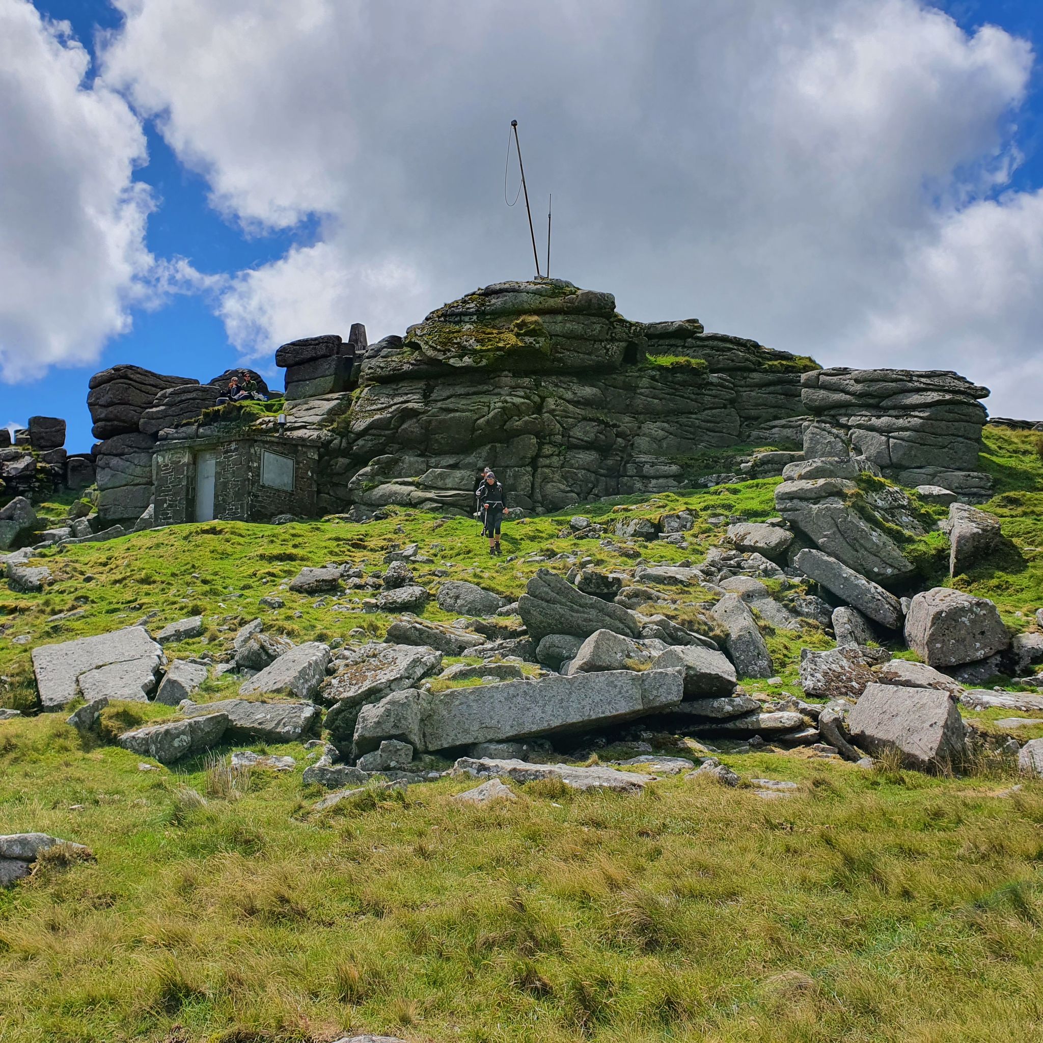
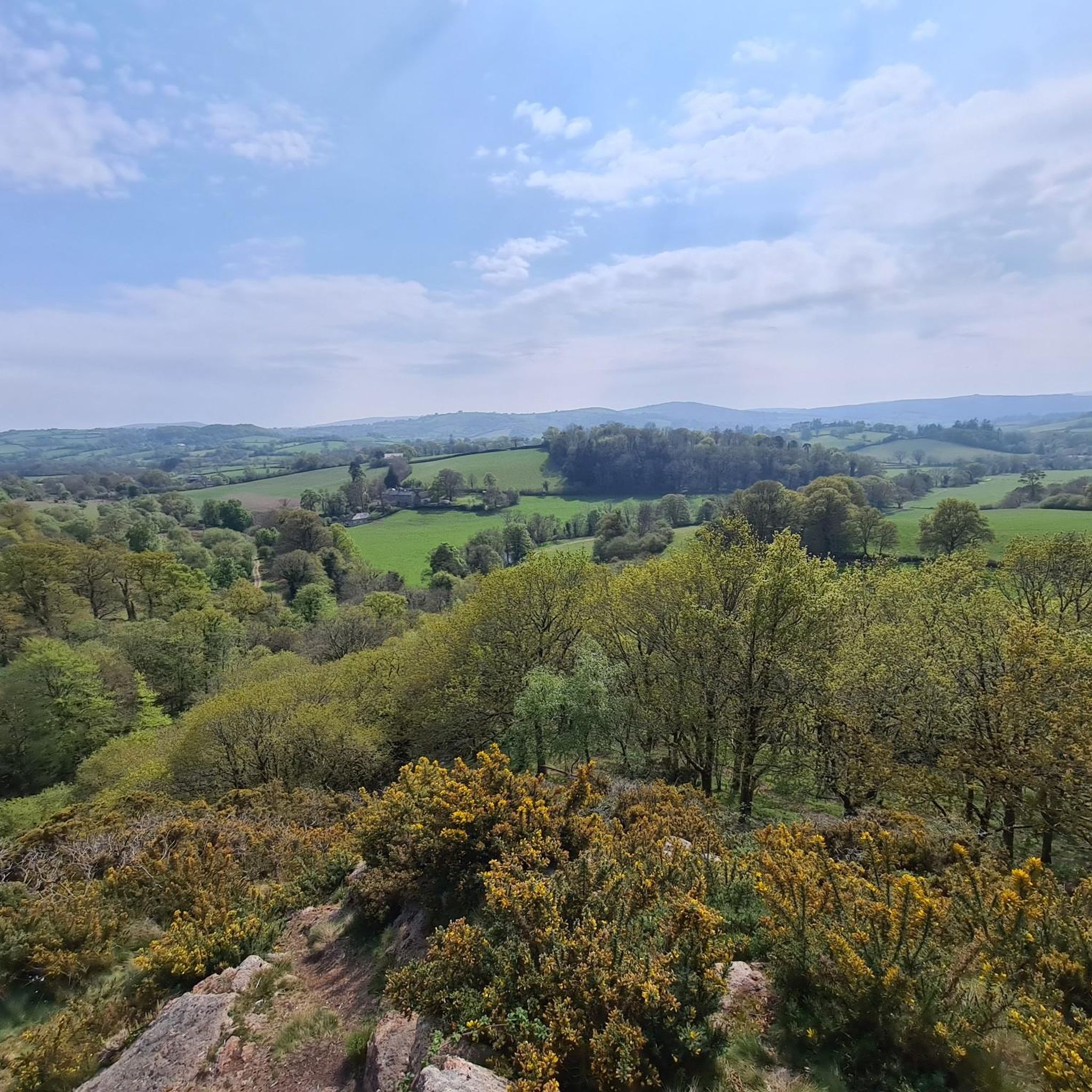
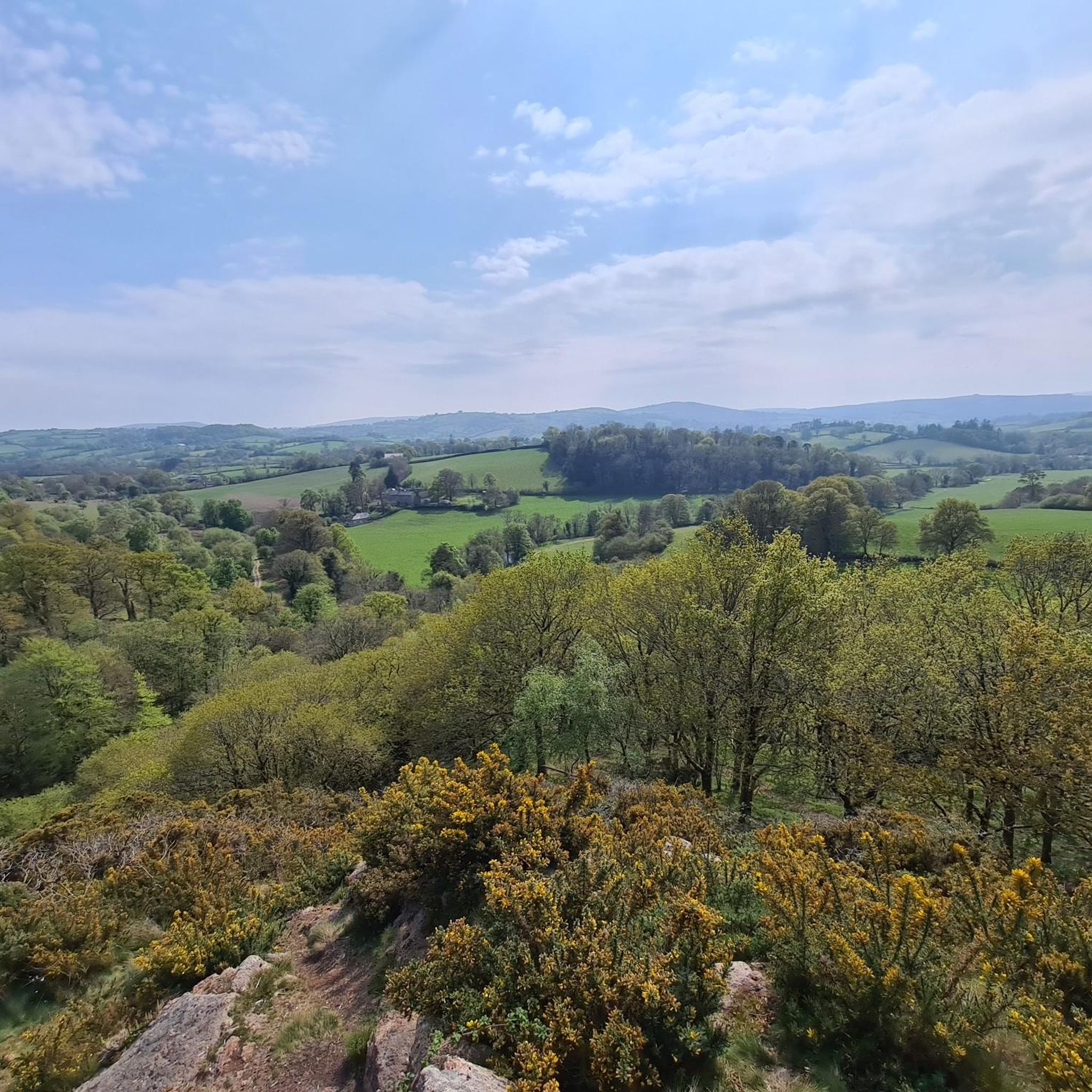
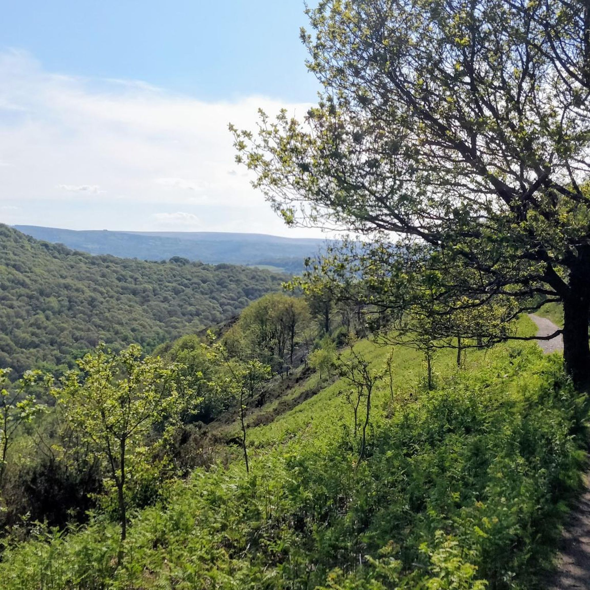
Tips from the Community

A mixture of asphalt and gravel paths. But being an old railway line, a gentle incline towards Moretonhampstead.
0
0
A really lovely place for coffee and cake. Then either return back down the Wray Trail or up and over via Hennock with great views across Dartmoor.
0
0

Be sure to climb the rocks and enjoy the view!
0
0
Anyone brave enough to cycle through Devon's narrow streets will be rewarded with magnificent views at Haytor and a beautiful ride through the national park! Highly recommended!
0
0

Fabulous Trail! A 7 mile (11km) mainly traffic-free route from Bovey Tracey to Moretonhampstead follows the dismantled railway line through the National Trust Parke Estate and past the beautiful picturesque village of Lustleigh.
0
0

Public toilets available by the Park Visitor Centre
1
0

Frequently Asked Questions
How many touring cycling routes are available around Throwleigh?
There are over 100 touring cycling routes around Throwleigh, offering a wide range of options for exploring the northern edge of Dartmoor National Park. These routes vary in difficulty, from moderate paths to more challenging rides.
Are there routes suitable for families or beginners?
Yes, Throwleigh offers several routes suitable for families and beginners. There are 8 easy touring cycling routes available, often utilizing quiet lanes and designated cycle paths within Dartmoor National Park. These routes provide a gentler introduction to the area's beautiful landscapes.
Can I find circular touring cycling routes in the area?
Yes, many touring cycling routes around Throwleigh are designed as loops, allowing you to start and finish in the same location. For example, the Fingle Bridge – Clifford Bridge loop from Chagford is a moderate 17.6-mile path featuring woodlands and peaceful streams. Another option is the Wray Valley Trail – Wray Valley Trail loop from Chagford, which covers 24 miles through varied Dartmoor landscapes.
What are some notable natural features or landmarks I can see while cycling?
While cycling around Throwleigh, you can encounter dramatic granite tors, wooded valleys, and peaceful streams. Notable landmarks include Yes Tor summit and High Willhays summit, offering expansive views. You might also cross historic structures like Postbridge Clapper Bridge or pass by Fingle Bridge. The area is also home to several reservoirs and lakes, such as Meldon Reservoir and Fernworthy Reservoir.
Are there any specific challenges or terrain considerations for touring cyclists in Throwleigh?
Touring cycling around Throwleigh involves varied terrain, from rugged moorland and granite tors to wooded valleys and riverside paths. Some routes, particularly those venturing onto the high moorland, can be hilly and may include bridleways that are rocky, potentially requiring cyclists to walk their bikes in places. The 'Throwleigh Cycle Route' is noted for its hilly sections and bridleways. Always check route details for elevation and surface conditions.
Where can I find places to eat or drink along the routes?
While Throwleigh itself is a small village, many cycling routes pass through or near charming villages like South Zeal, Sticklepath, and Belstone, where you can often find pubs and cafes. Larger towns like Chagford and Moretonhampstead, which are starting points for several popular routes, offer more options for refreshments.
What is the best time of year to go touring cycling around Throwleigh?
The best time for touring cycling around Throwleigh is generally from spring through autumn (April to October). During these months, the weather is typically milder and drier, making for more pleasant riding conditions. However, Dartmoor's weather can be unpredictable, so it's always advisable to check the forecast before heading out.
Is public transport available to reach the cycling routes near Throwleigh?
Public transport options directly to Throwleigh are limited. However, you can often reach nearby towns like Okehampton or Chagford by bus, and then cycle from there. It's recommended to check local bus schedules for the most up-to-date information on services to the Dartmoor area.
Where can I park my car when starting a touring cycling route?
Parking is typically available in the villages and towns that serve as common starting points for routes, such as Chagford, Moretonhampstead, or Okehampton. In smaller villages like Throwleigh, parking might be more limited, often found in designated village car parks or on-street where permitted. Always ensure you park responsibly and do not obstruct local residents or access points.
Are dogs allowed on the cycling routes around Throwleigh?
Dogs are generally welcome on Dartmoor's public rights of way, including bridleways and byways suitable for cycling, provided they are kept under close control. During lambing season (March to July) or when livestock are present, dogs must be kept on a lead. Always follow the Countryside Code and respect local signage regarding dogs.
What do other cyclists say about touring cycling in Throwleigh?
The touring cycling routes around Throwleigh are highly rated by the komoot community, with an average score of 4.2 stars from over 150 reviews. Cyclists often praise the varied terrain, from open moorland to wooded valleys, and the sense of exploration offered by the extensive network of trails. Many appreciate the natural beauty and the historical elements encountered along the way.
Can you recommend a longer touring cycling route for experienced riders?
For experienced riders seeking a longer challenge, the Chagford Town Centre – Moretonhampstead Village loop from Chagford is a difficult 34.4-mile route with significant elevation gain, offering an extensive exploration of the Dartmoor landscape. Another demanding option is the Postbridge Clapper Bridge – Chagford Town Centre loop from Chagford, covering nearly 30 miles with over 900 meters of ascent.
Are there any specific permits required for cycling in Dartmoor National Park?
Generally, no specific permits are required for cycling on public bridleways and byways within Dartmoor National Park. However, cyclists should always stick to designated routes and respect private land. For more detailed information on cycling regulations and routes within the National Park, you can refer to resources like the Visit South Devon website which mentions the 'Throwleigh Cycle Route'.
Most popular attractions around Throwleigh

Get inspired with the komoot mobile app


Explore more
Browse the best Cycling routes in other regions.
