The best running trails around Müllheim
4.6
(706)
11,666
runners
680
runs
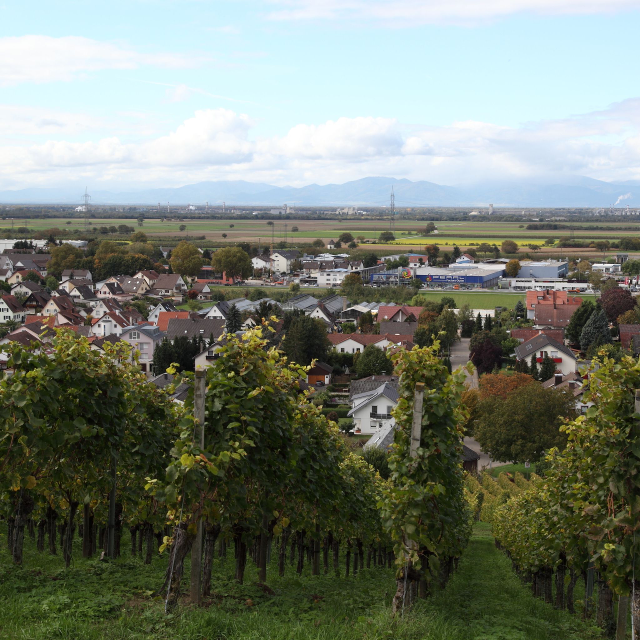
Jogging around Müllheim offers a diverse landscape for runners, characterized by its position in the Markgräflerland region, close to the Black Forest foothills. The terrain includes vineyards, rolling hills, and sections of woodland, providing varied surfaces and elevation changes. Many running routes in Müllheim follow established paths through agricultural areas and along small streams.
Best jogging routes around Müllheim
- The most popular jogging route is Belchensteig Frame Viewpoint – Nonnenmatt Pond loop from Nonnenmattweiher, a 13.6 miles (21.9 km)…
Last updated: October 8, 2026
33
runners
Hard run. Very good fitness required. Sure-footedness, sturdy shoes and alpine experience required.
5.0
(2)
24
runners
9.98km
01:20
290m
290m
Moderate run. Good fitness required. Mostly paved surfaces. Suitable for all skill levels.

20
runners
12.8km
01:25
250m
250m
Moderate run. Good fitness required. Mostly paved surfaces. Suitable for all skill levels.
5.0
(3)
14
runners
12.6km
01:28
230m
230m
Moderate run. Good fitness required. Mostly paved surfaces. Suitable for all skill levels.
5.0
(1)
15
runners
Hard run. Very good fitness required. Mostly paved surfaces. Suitable for all skill levels.
Get access to more routes and recommendations from other explorers.
Already have an account?
Our route recommendations are based on thousands of hikes, rides, and runs completed by other people on komoot.
Start today with a free account
Your next adventure awaits.
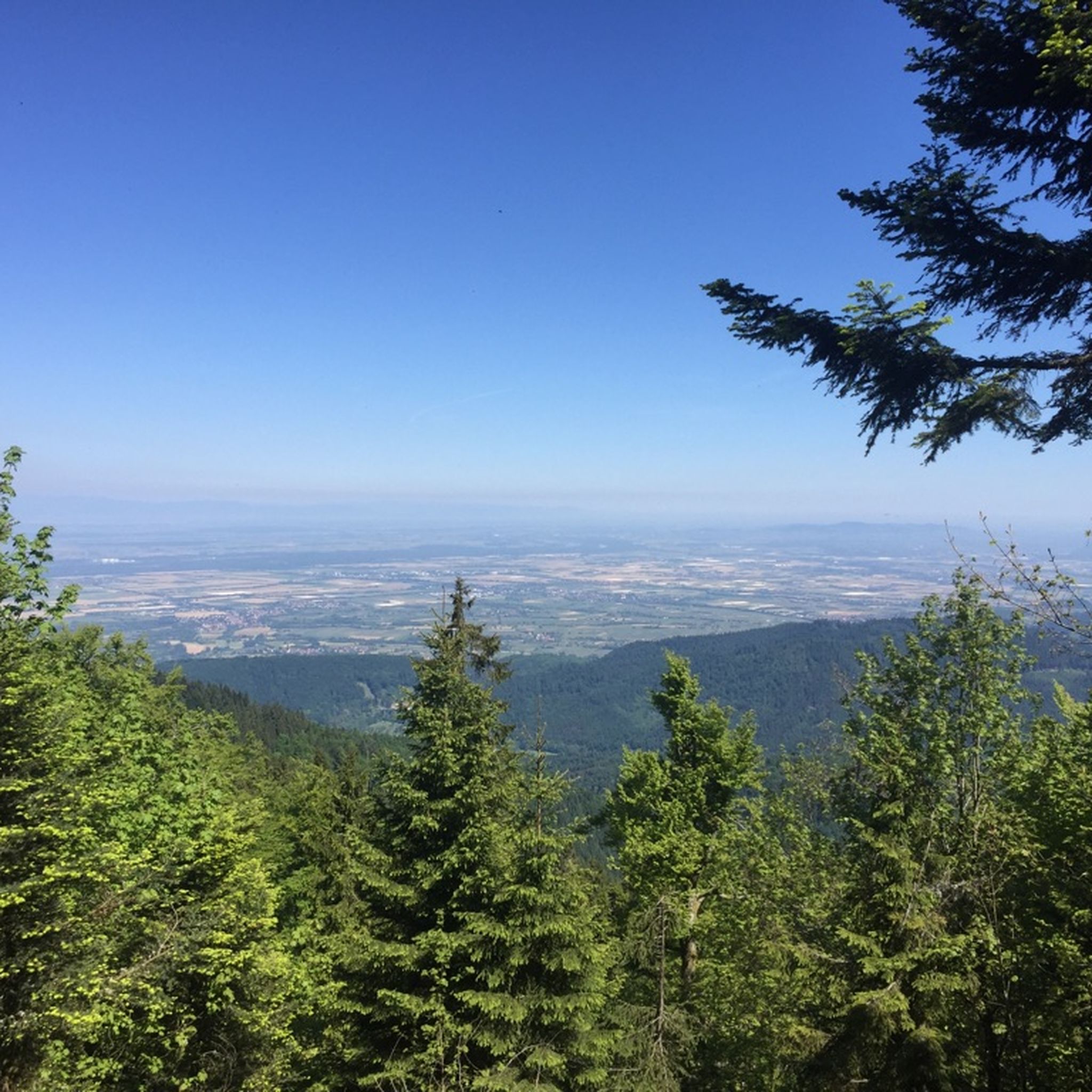
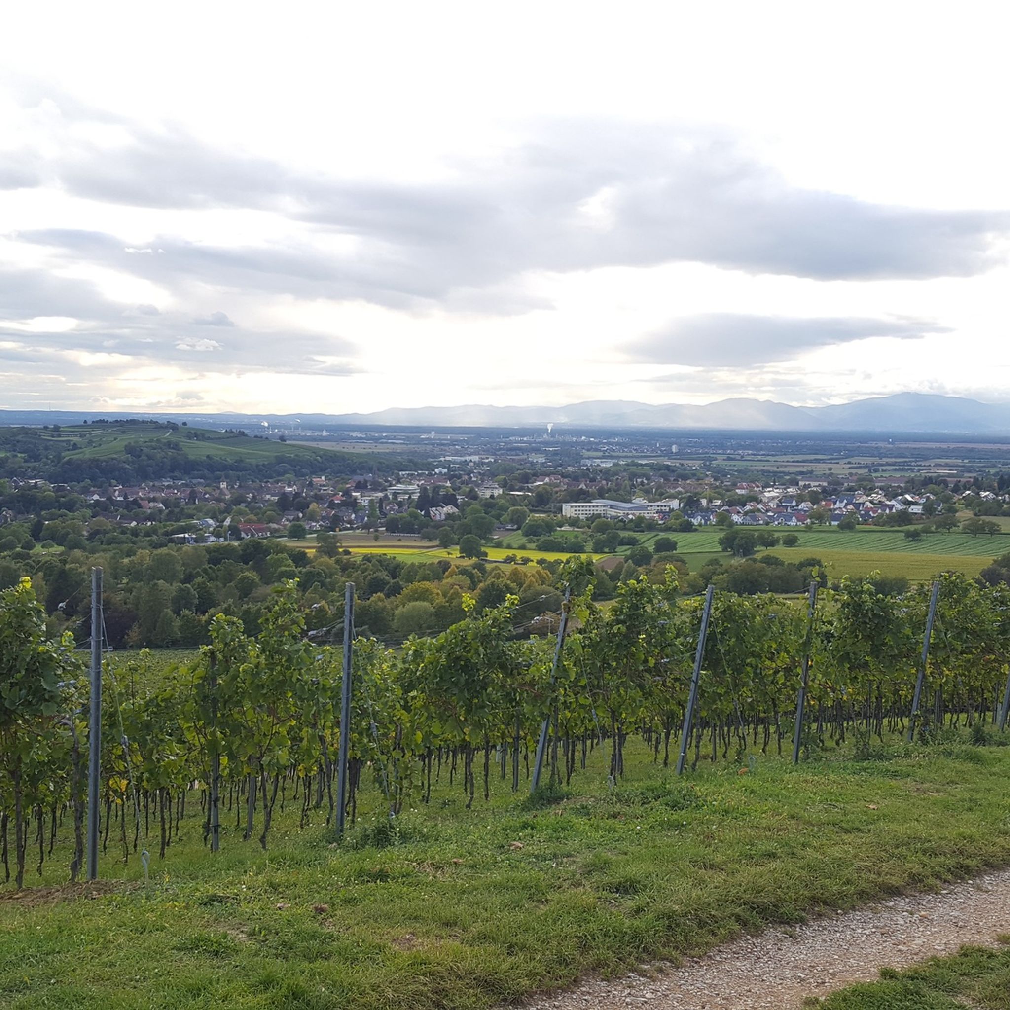
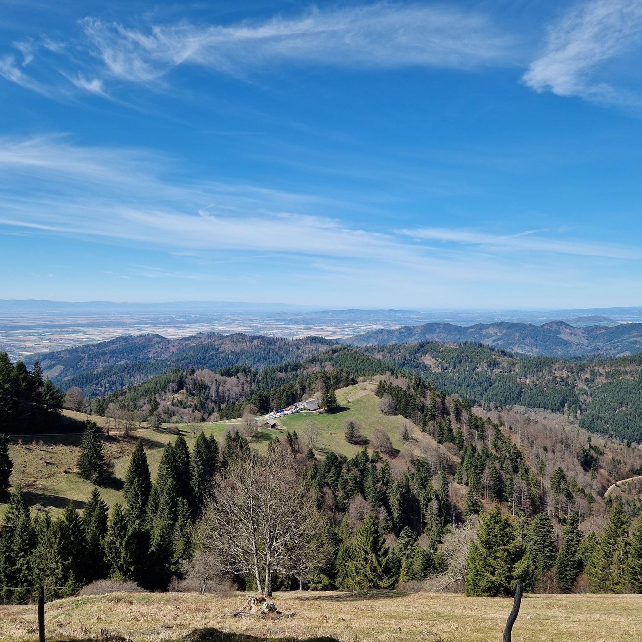
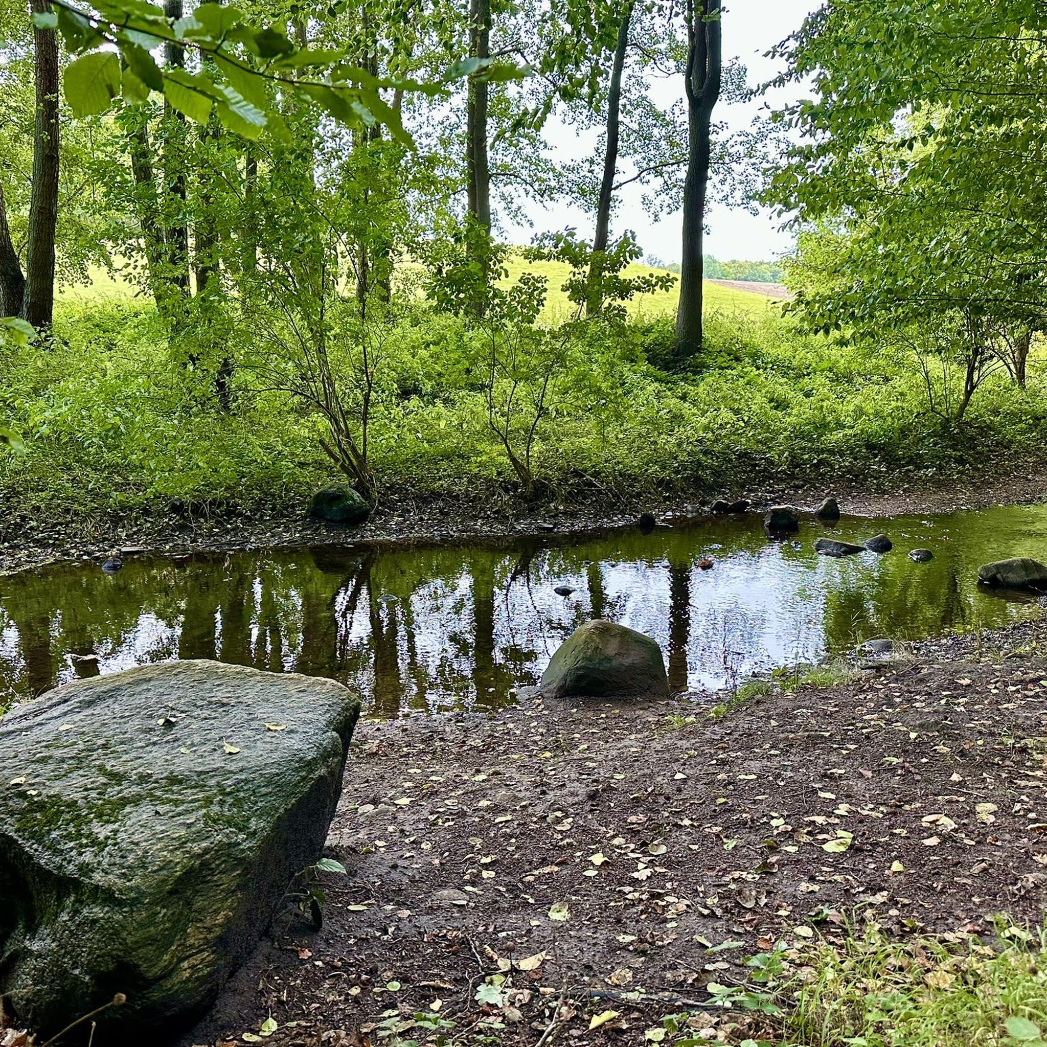

Tips from the Community

202609: the descent towards Badweiler is, as of today, life-threatening - completely unacceptable road condition for cyclists; towards Kl.Wiesental nice
0
0

.. View towards the south from the "Belchen" in the district of "Lörrach", Baden-Württemberg. - magnificent panoramic view - you should bring some time to look and enjoy! - the "Wiesental" is located directly on the southern flank of the mountain For those interested!!! - the Wiesental is just under 453 km² in size - the "Wiesental" got its name from the river "Wiese" - the river is just under 58 km long and a right tributary of the Rhine - the source is located on the "Feldberg" in the Southern Black Forest and flows towards Switzerland, where it flows into the Upper Rhine in "Basel" - the "Belchen" is just under 1415 m above sea level and is the fourth highest elevation in the Black Forest - on the treeless mountain summit, the Belchen offers a magnificent all-round view of the surrounding area
0
0
... the viewpoint "Belchensteig" is located in the immediate vicinity of the "Belchenhaus" or the mountain station of the "Belchen-Seilbahn"! - the "Belchensteig" is a premium hiking trail: https://www.wanderinstitut.de/premiumwege/baden-wuerttemberg/belchensteig/ - approx. 15 km long - Start/Finish: Wanderparkplatz "Wiedener Eck" (Oberwieden 15, 79695 Wieden) - please note: the trail is located in various protected areas: NSG „Wiedener Weidberge“, FFH area „Belchen“ (Natura 2000), bird sanctuary area „Südschwarzwald“ (Natura 2000) and UNESCO Biosphere Reserve „Schwarzwald“
0
0

We gladly used the benches at the small chapel as a resting place.
0
0

🏰During the Franco-Dutch War, the castle was blown up by French troops under Marshal Créquy on April 6, 1678, and burned to the ground. It was never rebuilt and was used by the local population as a quarry for a time.
1
0
🏰 Badenweiler Castle (also known as Baden Castle) is the prominent landmark of the spa town, perched majestically above the spa gardens. It boasts a history spanning almost 900 years and offers one of the most spectacular viewpoints in the Markgräflerland region.
1
0
✨ The Cassiopeia Therme in Badenweiler is a thermal spa awarded five “Wellness Stars”, known for its stylish ambience and historical Roman bathing culture.
1
0

In autumn the stated opening hours may vary or was often closed
0
0
Frequently Asked Questions
How many running routes are available around Müllheim?
Müllheim offers a vast network of over 700 running routes. These include a diverse range of trails, from easy paths suitable for beginners to challenging long-distance runs, catering to all fitness levels.
Are there easy running routes for beginners in Müllheim?
Yes, Müllheim has approximately 75 easy running routes perfect for beginners or those looking for a relaxed jog. These trails typically feature less elevation gain and smoother surfaces, often winding through vineyards or along streams.
What kind of terrain can I expect on jogging trails in Müllheim?
The jogging trails around Müllheim offer a varied landscape. You'll encounter routes through picturesque vineyards, rolling hills, and dense sections of woodland. This provides a mix of surfaces and elevation changes, characteristic of the Markgräflerland region and the Black Forest foothills.
Are there any long-distance running trails in the Müllheim area?
Absolutely. For those seeking a longer challenge, Müllheim offers numerous routes, including difficult trails like the Belchensteig Frame Viewpoint – Nonnenmatt Pond loop from Nonnenmattweiher, which spans 13.6 miles (21.9 km) with significant elevation gain. Another option is the Belchensteig Frame Viewpoint – View of the Wiesental loop from Nonnenmattweiher, a 10.1-mile (16.3 km) path offering panoramic views.
What are some notable natural attractions or landmarks I might see while running near Müllheim?
Many running routes in the Müllheim area pass by beautiful natural attractions. You could encounter the serene Nonnenmattweiher pond, or explore trails that lead towards the Belchen Summit (1,414 m). For those interested in gorges and waterfalls, some routes are close to highlights like the Stampfbach Waterfall or the Heißbach Gorge.
Are there circular running routes available in Müllheim?
Yes, many of the running routes around Müllheim are designed as loops, allowing you to start and finish at the same point. An example is the moderate Nonnenmatt Pond – View of the Nonnenmattweiher loop from Kälbelescheuer, which is 6.2 miles (9.9 km) long and takes about 1 hour 20 minutes to complete.
What do other runners enjoy most about jogging in Müllheim?
The running experience in Müllheim is highly rated by the komoot community, with an average score of 4.6 stars from over 550 reviews. Runners often praise the diverse landscape, the well-maintained paths through vineyards and forests, and the variety of routes suitable for different skill levels.
Can I find running routes that pass by historical sites or points of interest?
Yes, some routes offer glimpses of the region's history. For instance, the moderate Römerbad – Exterior of the Roman Bath loop from Schweighof is a 13.2 km trail that takes you past the exterior of a Roman Bath, combining your run with a touch of local heritage.
Are there challenging running trails for experienced runners?
Müllheim certainly caters to experienced runners with challenging trails. Approximately 159 routes are classified as difficult, featuring significant elevation changes and varied terrain. The Blauen Pass – Stühlehütte Shelter loop from Sender Blauen is a moderate option at 12.6 km, offering a good workout with rewarding views.
What is the best time of year for running in Müllheim?
Müllheim's diverse landscape makes it suitable for running throughout much of the year. Spring and autumn offer pleasant temperatures and beautiful scenery with blooming vineyards or vibrant fall foliage. Summer is also popular, especially on shaded forest trails, while winter can provide unique running experiences, though some higher elevation paths might require more caution due to snow or ice.
Are there running routes that offer panoramic views?
Many trails in the Müllheim region, particularly those in the rolling hills and Black Forest foothills, provide stunning panoramic views. The Belchensteig Frame Viewpoint – View of the Wiesental loop from Nonnenmattweiher is specifically highlighted for its panoramic vistas across varied forest and open terrain.
Most popular routes around Müllheim
Most popular attractions around Müllheim

Get inspired with the komoot mobile app


Explore more
Browse the best Running Trails & Routes in other regions.
