The best mountain hikes around Todtnau
4.8
(41)
232
hikers
38
hikes
Mountaineering routes around Todtnau are set within the Southern Black Forest, characterized by its diverse landscapes, including prominent peaks like Feldberg and Belchen. The region features picturesque hills, deep valleys, and expansive stretches of forests, moors, and meadows. Notable natural features include the Todtnau Waterfall, one of Germany's highest, and the challenging terrain around the Herzogenhorn. These elements combine to offer a range of mountaineering experiences amidst the natural beauty of the Black Forest.
Best mountaineering routes around Todtnau
- The…
Last updated: October 5, 2026
5.0
(3)
29
hikers
10.5km
03:05
300m
300m
Moderate mountaineering route. Good fitness required. Easily-accessible paths. Suitable for all skill levels.
5.0
(2)
11
hikers
8.88km
03:00
340m
340m
Moderate mountaineering route. Good fitness required. Mostly accessible paths. Sure-footedness required.

8
hikers
11.2km
03:58
590m
590m
Moderate mountaineering route. Good fitness required. Mostly accessible paths. Sure-footedness required.
3
hikers
14.3km
04:32
480m
480m
Moderate mountaineering route. Good fitness required. Mostly accessible paths. Sure-footedness required.
3.0
(1)
3
hikers
7.69km
02:31
350m
350m
Moderate mountaineering route. Good fitness required. Easily-accessible paths. Suitable for all skill levels.
Get access to more routes and recommendations from other explorers.
Already have an account?
Our route recommendations are based on thousands of hikes, rides, and runs completed by other people on komoot.
Start today with a free account
Your next adventure awaits.
Popular around Todtnau
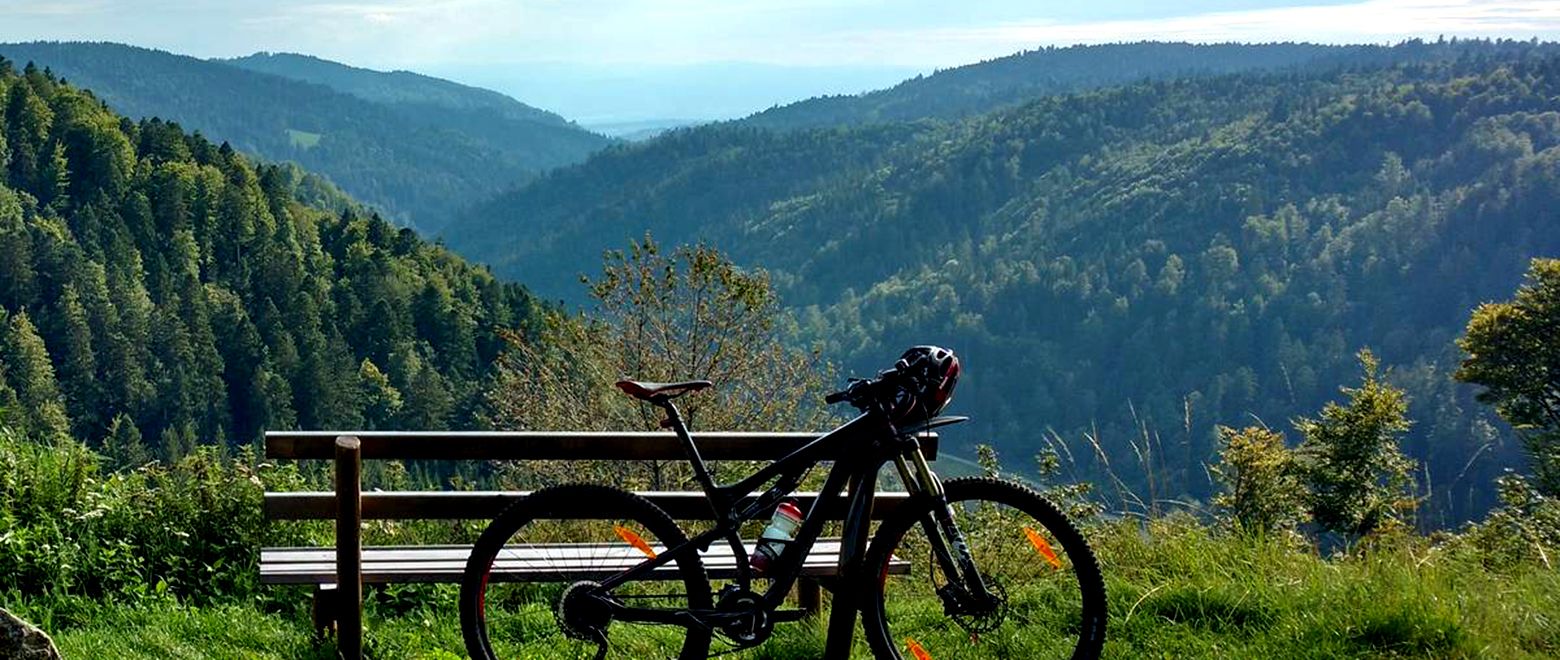
The Black Forest Crossing – From north to south in eight days

Gentle cycling & fine dining – the Black Forest for connoisseurs
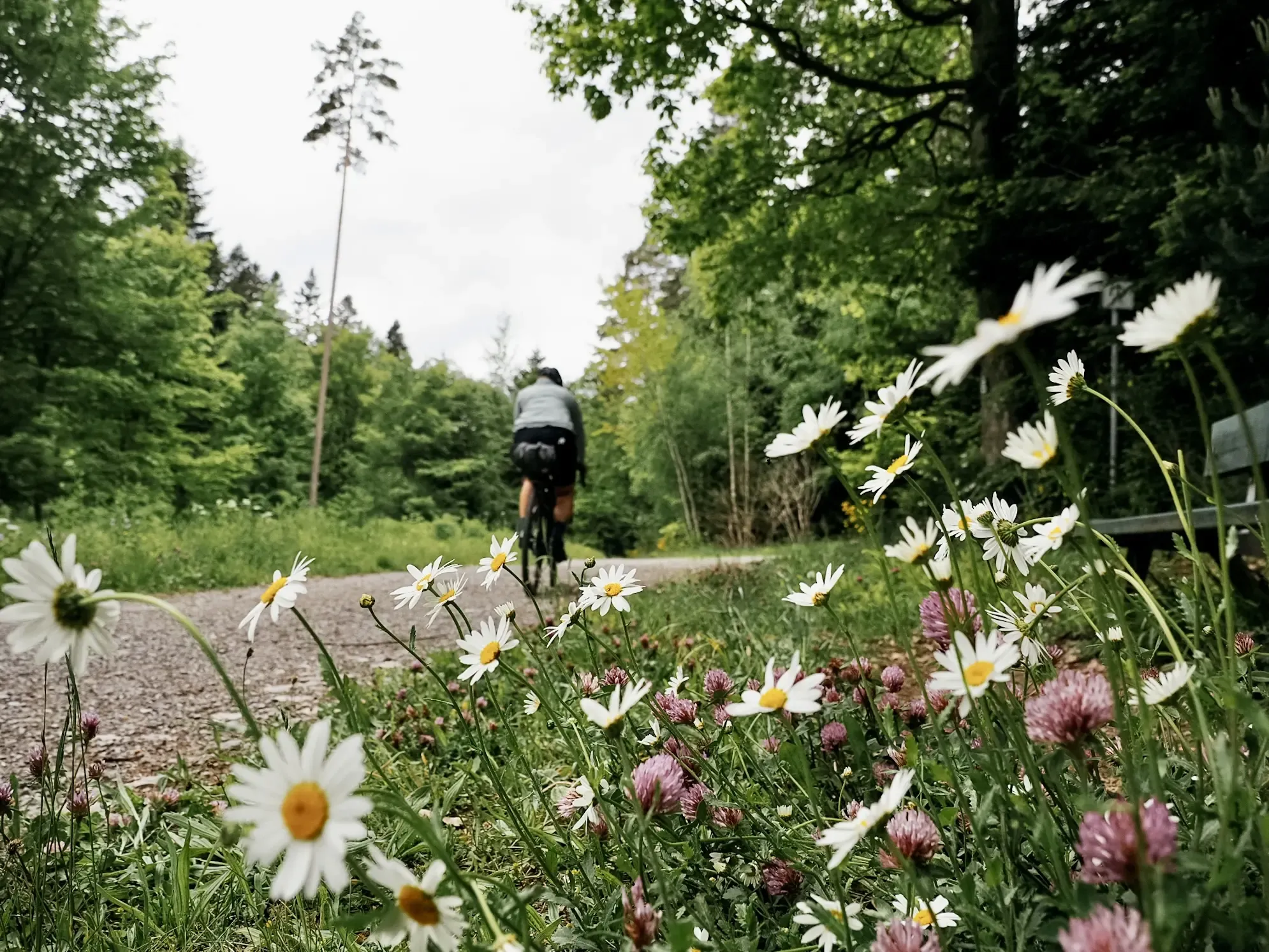
Naturparke-Gravel-Crossing: bikepacking in Baden-Württemberg
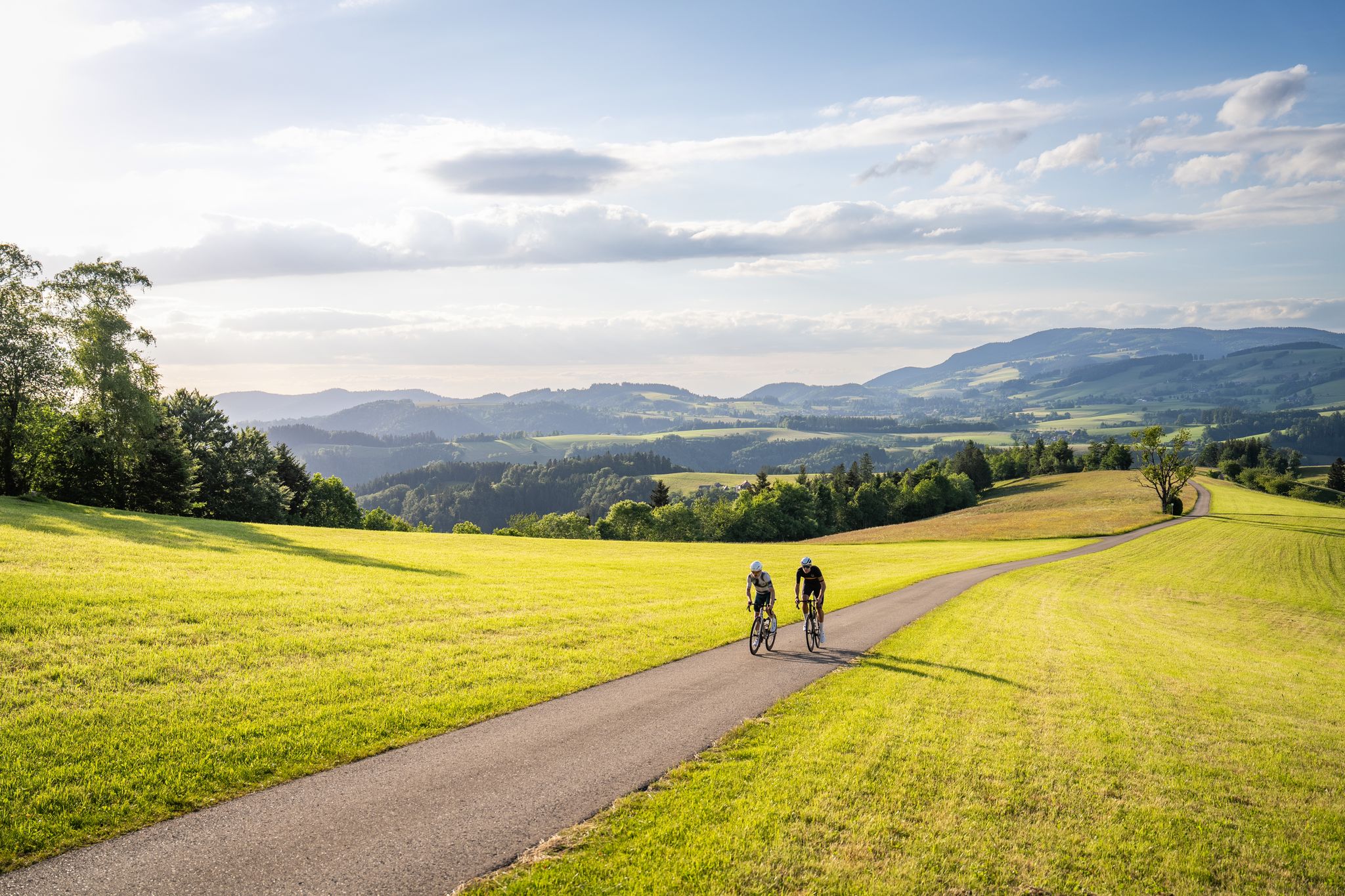
Asphalt poetry – road cycling in the High Black Forest
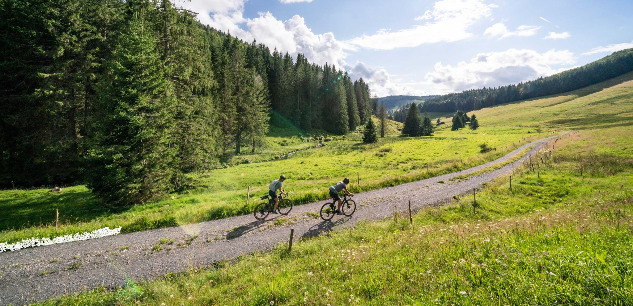
Your slice of gravel happiness – gravel in the Black Forest
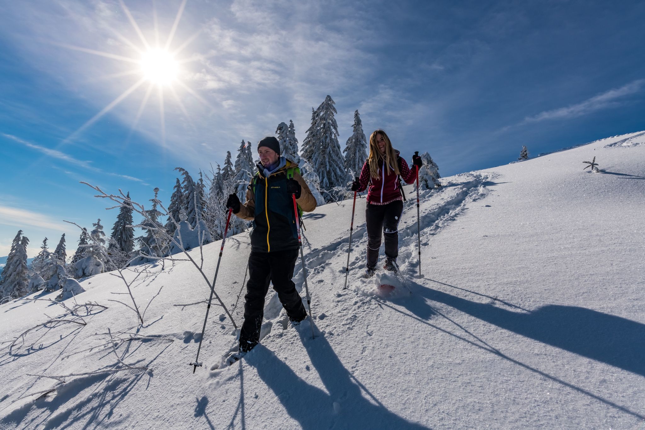
The Forest in its white dress – snowshoe Tours in the Black Forest
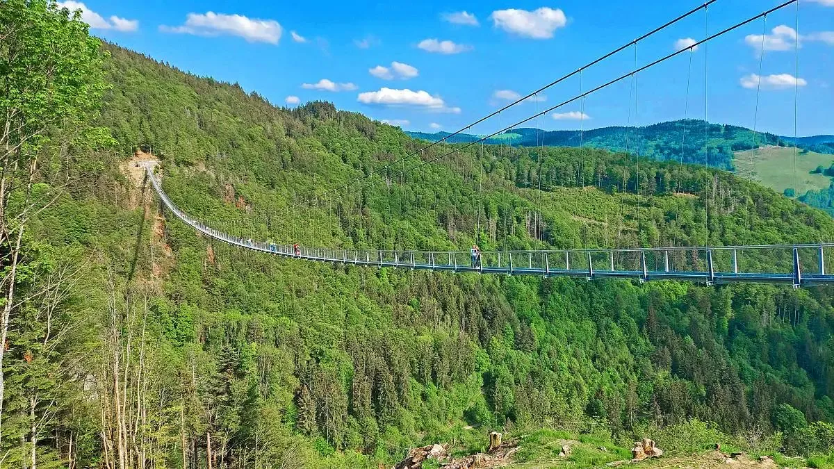
Nature and thrills – adventurous hiking in the Black Forest
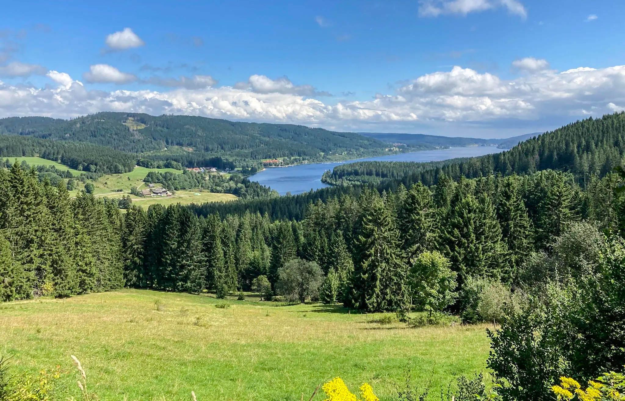
Experience Germany's Black Forest glass blowing history up close
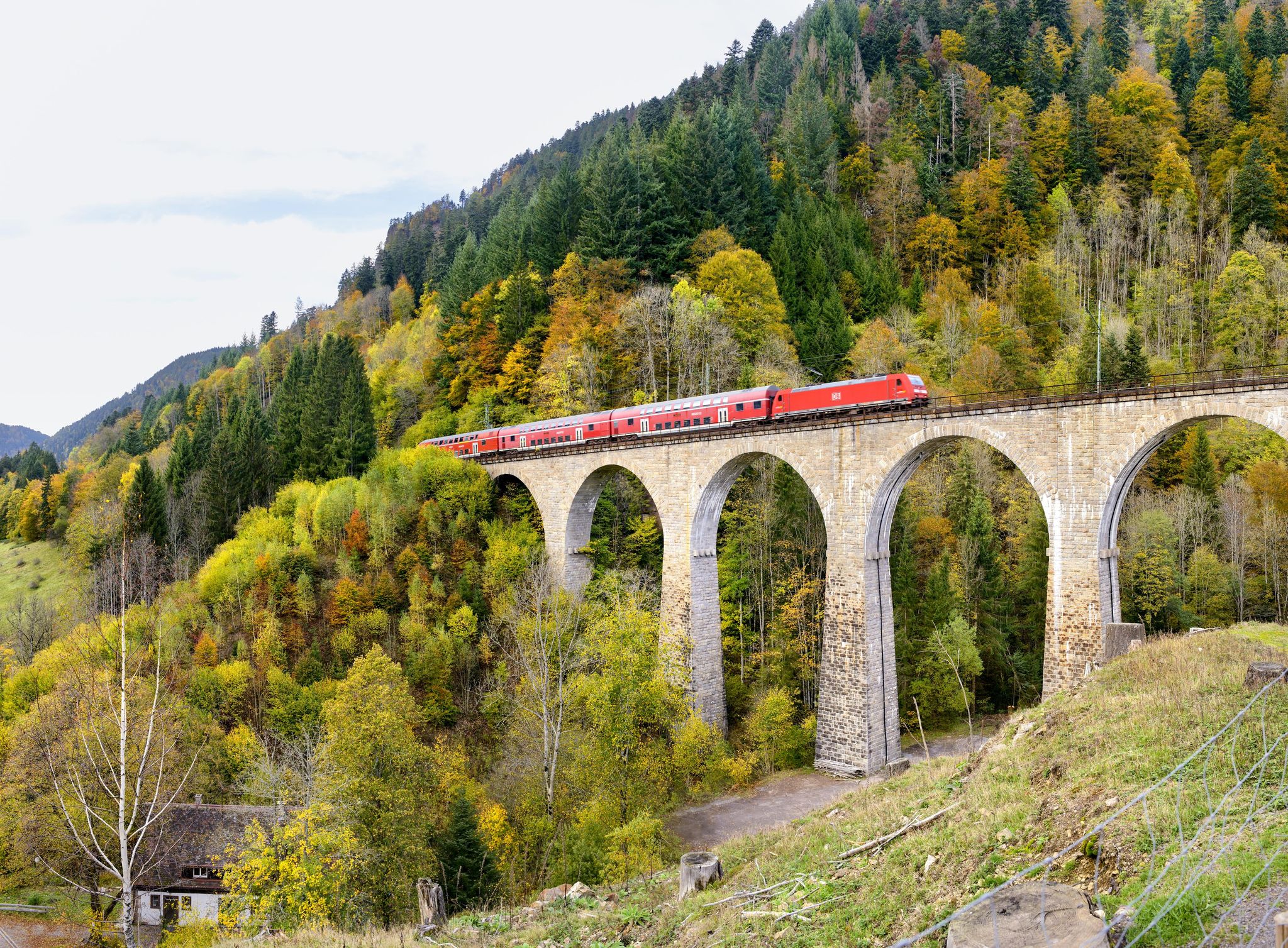
Into the countryside by bus and train – hiking in Germany’s large protected areas

Nature Park Gravel Crossing from North to South – Baden-Württemberg
Other adventures around Todtnau


Tips from the Community

In the magical region of the Teinachtal around Zavelstein, nestled in the gentle hills of the Black Forest,
3
0
Nature park moments mark a viewpoint with a beautiful panorama
3
0
Directly on the summit of Feldberg in the Black Forest, not far from the older transmission tower on the Seebuck.
3
0
Commissioned in the summer of 2003 by the SWR.
3
0
The unique museum in the Feldbergturm interactively and engagingly conveys the traditional production of Black Forest ham
3
0
which was put into operation in the summer of 2003
3
0
Frequently Asked Questions
How many mountaineering routes are available around Todtnau?
Todtnau offers a wide selection of mountaineering routes, with over 45 trails to explore. These range from easy strolls to more challenging alpine-style treks, catering to various experience levels.
Are there any easy mountaineering routes suitable for beginners in Todtnau?
Yes, Todtnau has a few routes suitable for beginners. While most routes are moderate, there are at least two easier options available. These trails typically have less elevation gain and shorter distances, providing a good introduction to mountaineering in the Black Forest.
Which mountaineering routes feature the Todtnau Waterfall?
The impressive Todtnau Waterfall, one of Germany's highest natural waterfalls, is a highlight in the region. You can experience it on routes like the Todtnau Waterfall – View of Muggenbrunn loop from Todtnauberg. The waterfall is especially spectacular during spring snowmelt or after heavy rainfall.
Are there any circular mountaineering routes around Todtnau?
Many of the mountaineering routes in Todtnau are designed as loops, allowing you to start and end at the same point. Examples include the Bismarck Monument on the Seebuck – Feldberg Summit loop from Feldbergturm and the View of the Black Forest Hills – Feldsee loop from Feldbergturm, both offering scenic circular journeys.
What are some notable landmarks or natural features to see on these routes?
The routes around Todtnau offer stunning natural beauty and landmarks. You can encounter the majestic Feldberg and Herzogenhorn peaks, enjoy panoramic views of the Black Forest Hills, and visit the tranquil Feldsee. The View of the Western Alps – Feldberg Summit loop from Feldbergturm, for instance, provides high-altitude vistas.
What is the best time of year for mountaineering in Todtnau?
The Black Forest region around Todtnau is beautiful year-round. Spring and autumn offer pleasant temperatures and vibrant scenery, while summer provides longer daylight hours. During winter, the area transforms into a popular winter sports center, with options for alpine and cross-country skiing, so mountaineering conditions will vary significantly with snow cover.
Are there any challenging mountaineering routes for experienced hikers?
Yes, Todtnau offers several challenging routes for experienced mountaineers. These trails often involve significant elevation changes and longer distances, such as the Herzogenhorn – Wiese Spring loop from Feldbergturm, which covers over 14 kilometers. The region's terrain, including peaks like Feldberg and Herzogenhorn, provides demanding alpine-style treks.
What do other mountaineers say about the routes in Todtnau?
The mountaineering routes in Todtnau are highly regarded by the komoot community, holding an average rating of 4.8 stars from over 40 reviews. Many users praise the diverse landscapes, the well-maintained trails, and the breathtaking views of the Black Forest and sometimes even the distant Alps.
Can I find places to eat or drink along the mountaineering trails?
While specific cafes directly on every trail are not guaranteed, Todtnau and its surrounding villages offer various options for refreshments. Many routes pass through or near settlements where you can find traditional Black Forest hospitality, including restaurants and cafes to refuel after your hike.
Are there any historical sites or castles near the mountaineering routes?
Yes, the region around Todtnau has historical significance. While not directly on every mountaineering route, you can find several castle ruins nearby. For example, the Ruins of Falkenstein Castle (Höllental) and the Bubenstein Castle Ruins are points of interest that can be explored in conjunction with your mountaineering adventures.
What kind of terrain can I expect on mountaineering routes in Todtnau?
The terrain around Todtnau is diverse, characterized by picturesque hills, deep valleys, and expansive stretches of lush forests, moors, and meadows. You'll encounter well-trodden paths, forest tracks, and sometimes rocky sections, especially on higher peaks like Feldberg and Herzogenhorn. Sure-footedness is often recommended, particularly on more challenging trails.
Is public transport available to access the mountaineering trailheads?
Todtnau is part of the Black Forest region, which generally has a good public transport network. Many trailheads, especially those around Feldberg and Todtnauberg, are accessible by bus, making it possible to reach your starting point without a car. It's advisable to check local bus schedules for specific routes and timings.
Most popular routes around Todtnau
Most popular attractions around Todtnau

Get inspired with the komoot mobile app


Explore more
Browse the best Mountain Hikes & Routes in other regions.
