The best road cycling routes around Falera
4.2
(110)
3,023
riders
27
rides
Road cycling routes around Falera are characterized by significant elevation changes within the mountainous landscape of Graubünden. The region features deep valleys, river gorges such as the Rheinschlucht, and challenging climbs. Road cyclists can expect varied terrain, from winding roads through alpine villages to routes offering panoramic views.
Best road cycling routes around Falera
- The most popular road cycling route is Tour de Obersaxen – Grisons' Road cycling Menu, a 26.9 miles (43.3 km) trail that takes 2 hours…
Last updated: October 11, 2026
4.7
(35)
712
riders
45.9km
02:37
1,020m
1,020m
Hard road ride. Very good fitness required. Mostly well-paved surfaces and easy to ride.
4.9
(8)
144
riders
43.3km
02:32
1,000m
1,000m
Hard road ride. Very good fitness required. Some segments of this route may be unpaved and difficult to ride.

5.0
(3)
58
riders
71.3km
04:02
1,640m
1,640m
Hard road ride. Very good fitness required. Mostly well-paved surfaces and easy to ride.
5.0
(1)
72
riders
24.3km
02:03
1,150m
1,150m
Hard road ride. Very good fitness required. Mostly well-paved surfaces and easy to ride.
59
riders
43.7km
03:20
1,080m
1,080m
Hard road ride. Very good fitness required. Some segments of this route may be unpaved and difficult to ride.
Get access to more routes and recommendations from other explorers.
Already have an account?
Our route recommendations are based on thousands of hikes, rides, and runs completed by other people on komoot.
Start today with a free account
Your next adventure awaits.
Popular around Falera
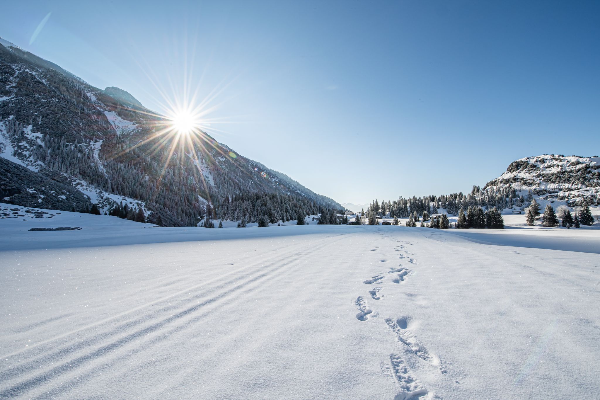
Indulgence to the power of two – culinary delights and winter hiking in Flims Laax
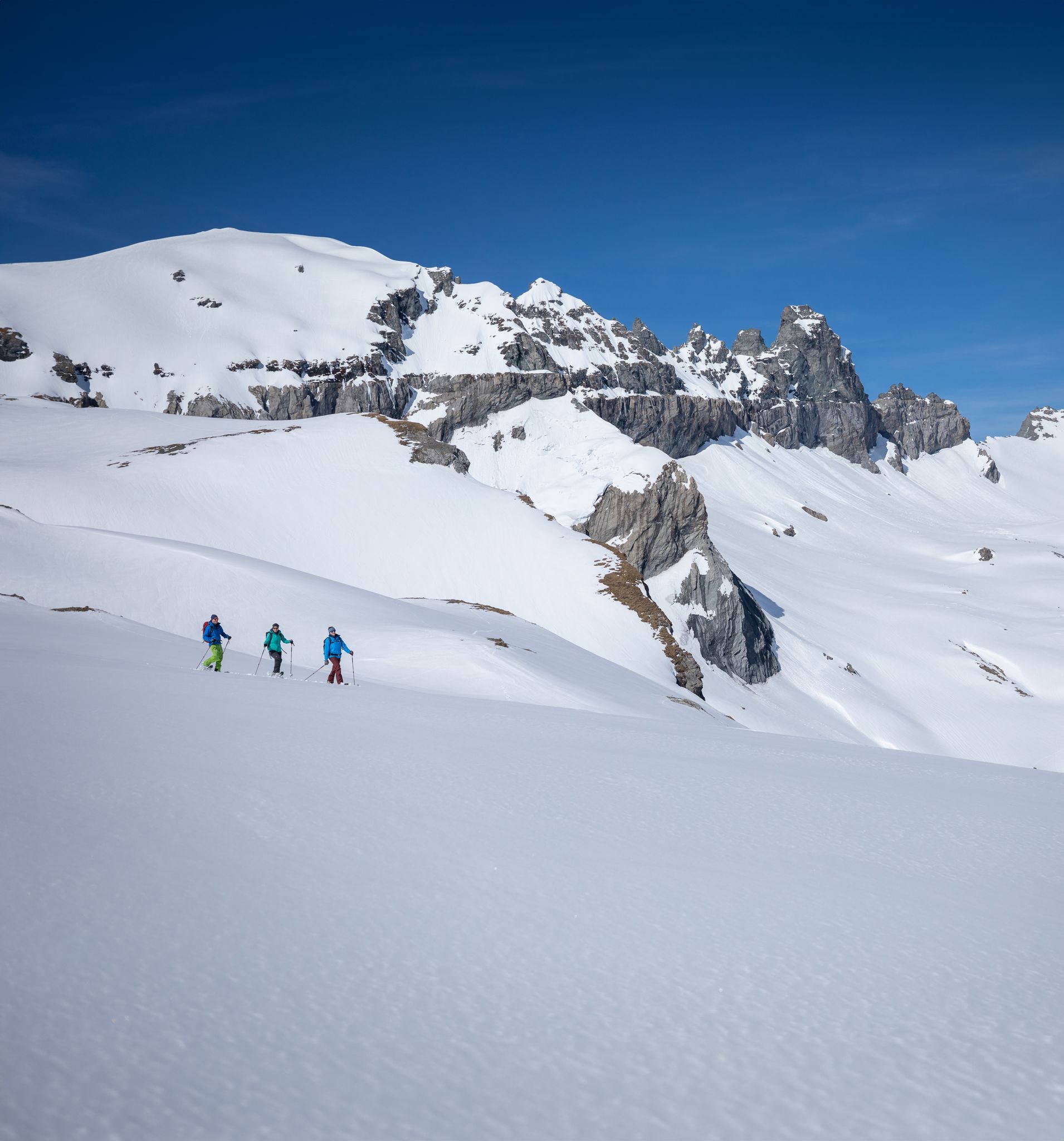
Stomp into winter bliss – snowshoeing in Flims Laax Falera
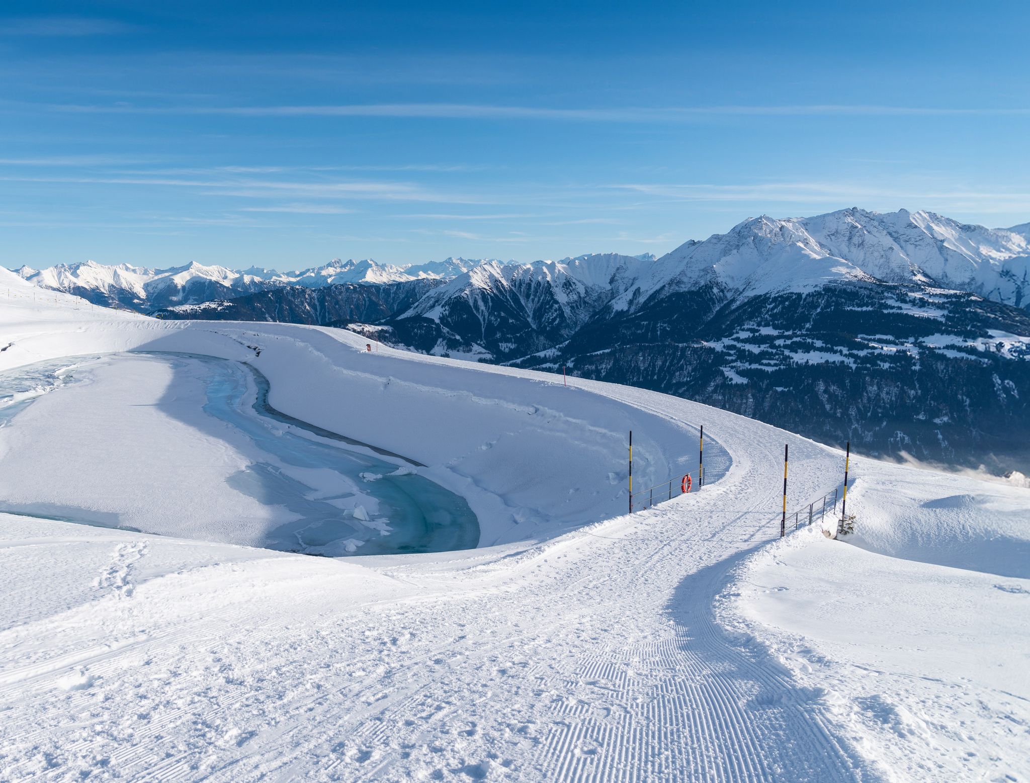
Winter hiking with a view in Flims Laax Falera in Switzerland
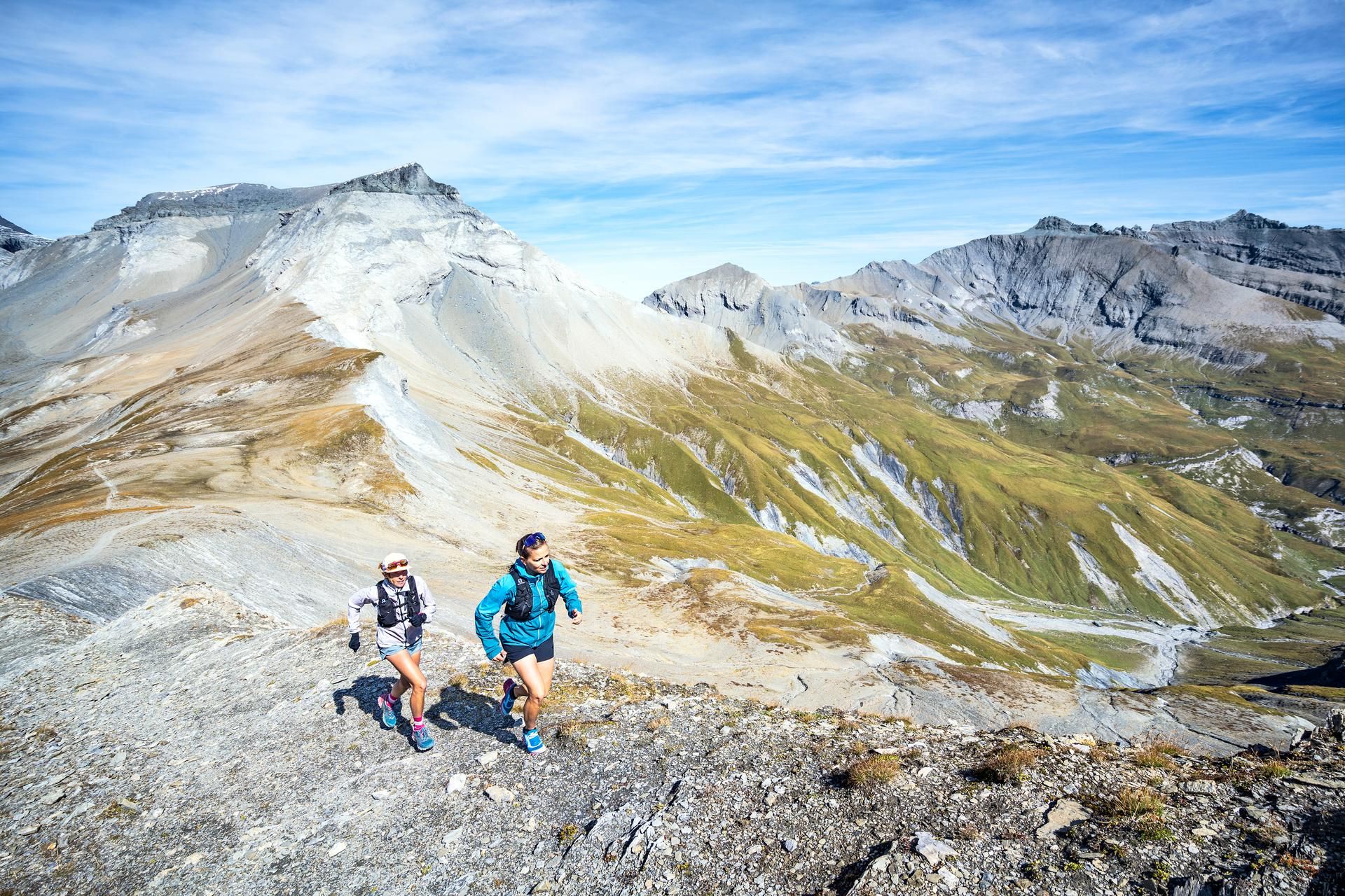
Where the marmots whistle – trail running in Flims, Laax and Falera
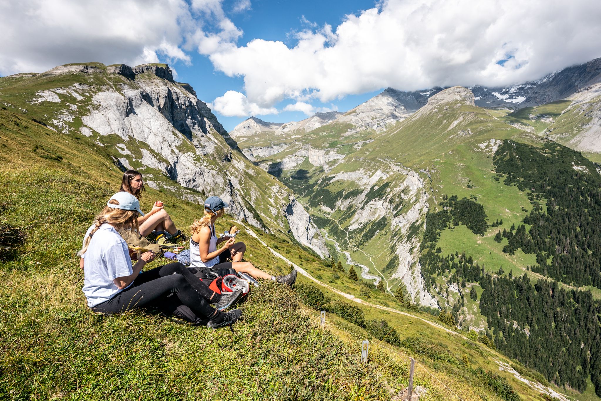
Hiking holidays in Flims, Laax & Falera — 12 epic Tours in Switzerland
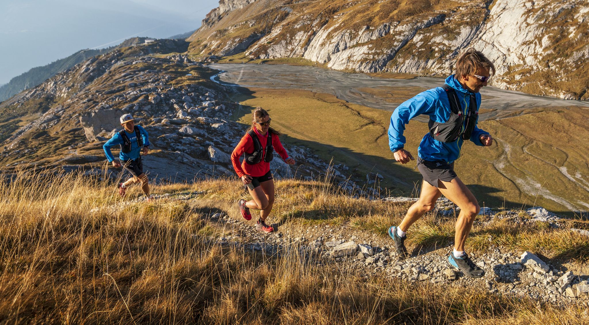
Get your running shoes on! — Swiss trail running in Flims, Laax & Falera
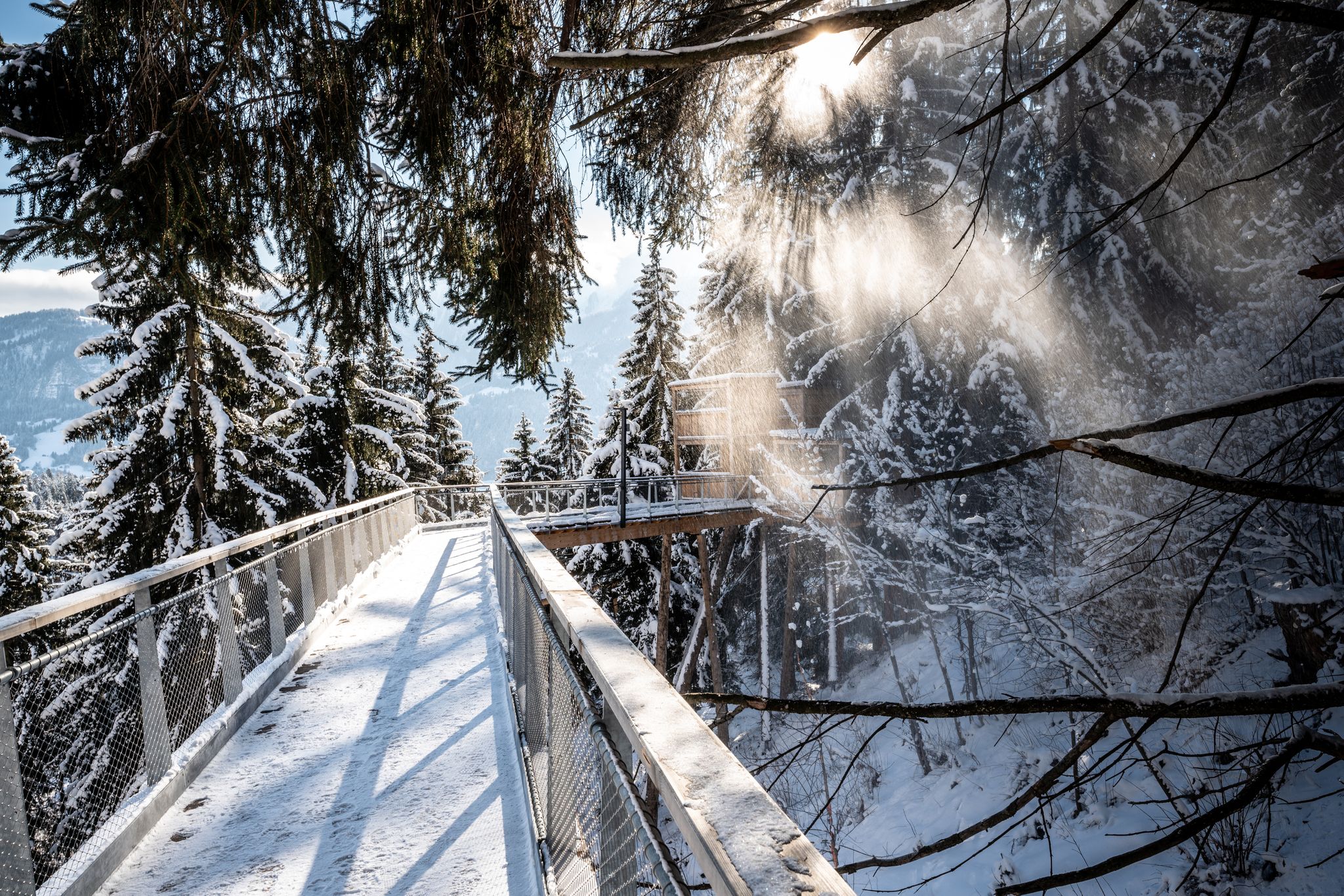
Snowy forests and icy mountain air – winter hikes in Switzerland’s Flims
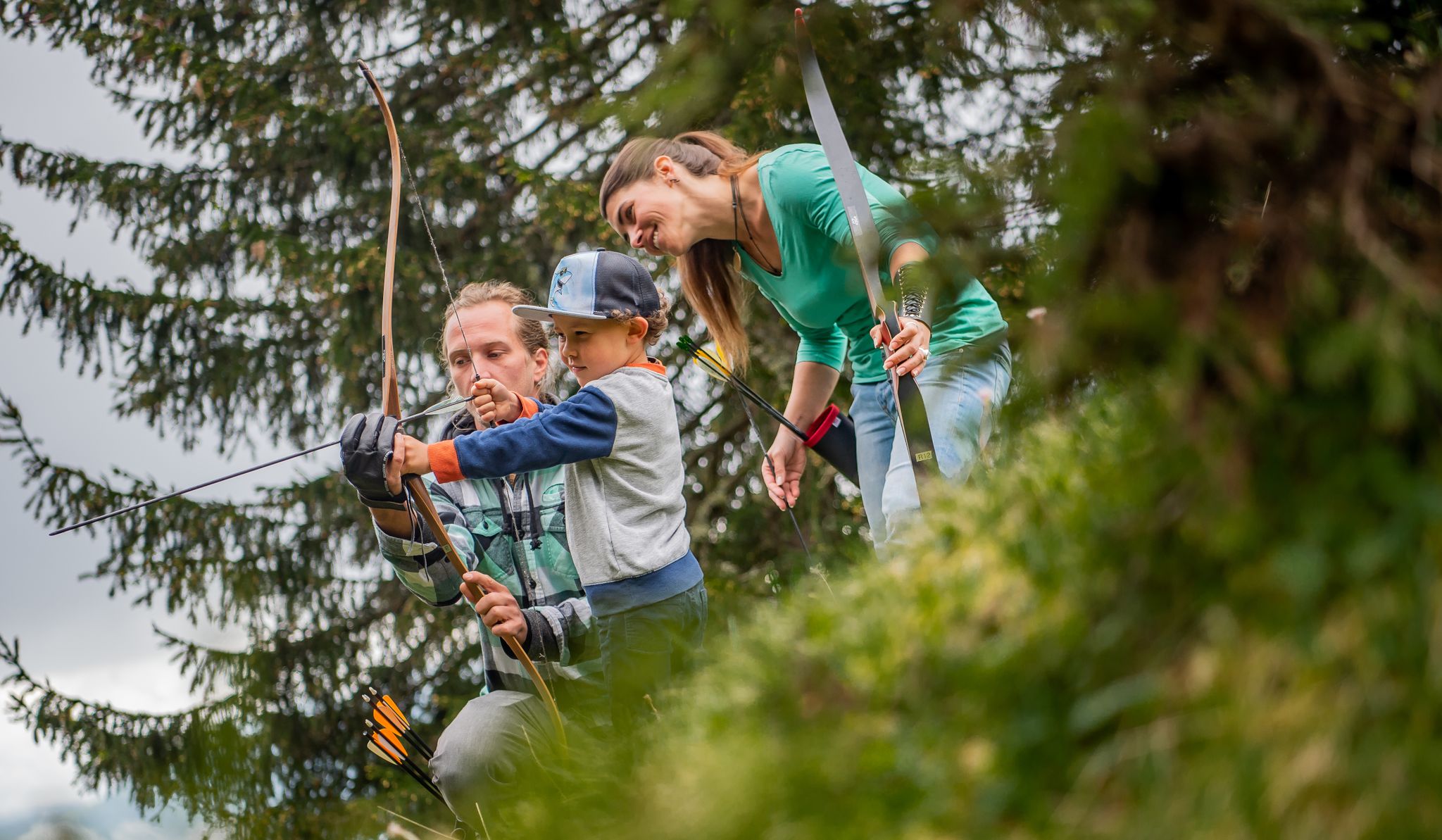
Water, mountains and Robin Hood — family fun in Switzerland
Hiking around Falera

Gravel biking around Falera
Other adventures around Falera

Tips from the Community

Nature reserve with various hiking trails.
0
0

The rest of the "Old Town" doesn't need to be seen as it has too many architectural sins.
0
0

easy to drive and scenically spectacular
0
0

A place of power in a special class
0
0

Disentis is the largest town in Surselva and NOT Ilanz.
1
0

Great views and good cycle paths
0
0

Ruinaulta Rhine Gorge The Ruinaulta, or Rhine Gorge, is a gorge of the Vorderrhein River, up to 400 meters deep and approximately 13 kilometers long, between Ilanz and the mouth of the Hinterrhein River near Reichenau in the canton of Graubünden in Switzerland. The Romansh name 'Ruinaulta' is composed of the two words ruina (scree slope, quarry) and aulta (high). The Ruinaulta was formed after the Flims Landslide almost 10,000 years ago. At that time, over 10 billion cubic meters of rock broke off between the Flimserstein and Piz Grisch, burying the Vorderrhein Valley between the present-day villages of Castrisch and Reichenau under a mass of debris several hundred meters thick. Because the Vorderrhein River could no longer drain away, a lake was dammed over a length of approximately 25 kilometers. Over time, the river cut deep into the landslide, and the resulting lake drained away completely. What remained was the Ruinaulta, with its steep limestone scree cliffs in impressive erosion formations. Text / Source: Wikipedia https://de.wikipedia.org/wiki/Ruinaulta
16
0
Confluence of the Vorderrhein and Hinterrhein, Reichenau Dominated by Reichenau Castle, the hamlet lies at the confluence of the Vorderrhein and Hinterrhein rivers, making it virtually the birthplace of the Rhine. It all began 10,000 years ago. Between the Flimserstein (a high plateau) and Piz Grisch, over 10,000 cubic meters of rock broke off and thundered down into the valley. Towards Reichenau, the Vorderrhein valley disappears under a gigantic mass of rubble. From there, the Rhine diligently ate its way through the rock, creating the spectacular Swiss "Grand Canyon" – the Ruinaulta. Text / Source: myswitzerland.com https://www.myswitzerland.com/de-ch/erlebnisse/route/vom-zusammenfluss-der-rheine-in-die-rheinschlucht/
16
0
Frequently Asked Questions
What kind of terrain can I expect on road cycling routes around Falera?
Road cycling around Falera is characterized by significant elevation changes within the mountainous landscape of Graubünden. You'll encounter deep valleys, river gorges like the Rheinschlucht, and challenging climbs. The routes feature varied terrain, from winding roads through alpine villages to paths offering panoramic views.
Are there road cycling routes suitable for beginners or those looking for an easier ride in Falera?
Yes, while many routes are challenging, Falera does offer options for less experienced riders. Out of the 29 available road cycling routes, 2 are classified as easy and 14 as moderate, providing a good range for different skill levels.
What are some challenging road cycling routes for advanced riders near Falera?
For advanced riders seeking a challenge, Falera offers several difficult routes. The Tour de Obersaxen – Grisons' Road cycling Menu is a demanding 26.9-mile route with over 3,293 feet of elevation gain. Another option is the Valendas Wooden Fountain – View of the church in Versam loop from Ilanz/Glion, a 44.3-mile path with extensive climbing.
Are there any scenic viewpoints or landmarks to see along the road cycling routes?
Absolutely. The region is rich in natural beauty and points of interest. You might pass highlights such as the Il Spir Viewing Platform – Rhine Gorge, offering spectacular views, or the serene Cresta Lake. The Valendas Wooden Fountain – View of the church in Versam loop from Ilanz/Glion route specifically passes the Valendas Wooden Fountain.
What is the best time of year for road cycling in Falera?
The best time for road cycling in Falera is typically from late spring through early autumn (May to October), when the alpine passes are clear of snow and the weather is most favorable. During these months, you'll experience pleasant temperatures and the full beauty of the Graubünden landscape.
Are there loop trails available for road cyclists in Falera?
Yes, many of the road cycling routes around Falera are designed as loops, allowing you to start and end in the same location. Examples include the Ilanz – Climb in Graubünden loop from Laax GR and the Rheinschlucht near Laax loop from Sagogn.
What do other road cyclists say about the routes in Falera?
The road cycling routes in Falera are highly regarded by the komoot community, holding an average rating of 4.8 stars from over 80 reviews. More than 2,600 road cyclists have explored the varied terrain, often praising the challenging ascents and panoramic views.
How does road cycling in Falera compare to nearby Laax?
Falera and Laax are part of the same mountainous region of Graubünden, so you can expect similar challenging terrain with significant elevation changes, deep valleys, and scenic views in both areas. Many routes, like the Ilanz – Climb in Graubünden loop from Laax GR, connect or are accessible from both locations, offering a consistent high-quality road cycling experience.
Are there any routes that pass by lakes or water features?
Yes, some routes offer views of or pass by beautiful lakes. For instance, you might encounter Cresta Lake or Lake Cauma, both known for their stunning turquoise waters, providing refreshing stops or scenic backdrops during your ride.
Can I find routes that include stops at alpine villages or cafes?
Many road cycling routes in the Falera region wind through charming alpine villages, offering opportunities for breaks and refreshments. While specific cafe stops are not always detailed, the presence of villages along routes like the Vrin village – Obertor Ilanz loop from Ilanz/Glion suggests places where you can find local amenities.
What is the typical distance and elevation gain for road cycling routes in Falera?
The routes around Falera vary significantly. For example, the Tour de Obersaxen covers 26.9 miles with over 3,293 feet of elevation gain, while the Valendas Wooden Fountain loop is 44.3 miles with over 5,380 feet of climbing. Expect significant ascents and descents, reflecting the mountainous terrain of Graubünden.
Most popular attractions around Falera

Get inspired with the komoot mobile app


Explore more
Browse the best Road cycling routes in other regions.
