The best running trails around Aichhalden
4.2
(42)
253
runners
48
runs
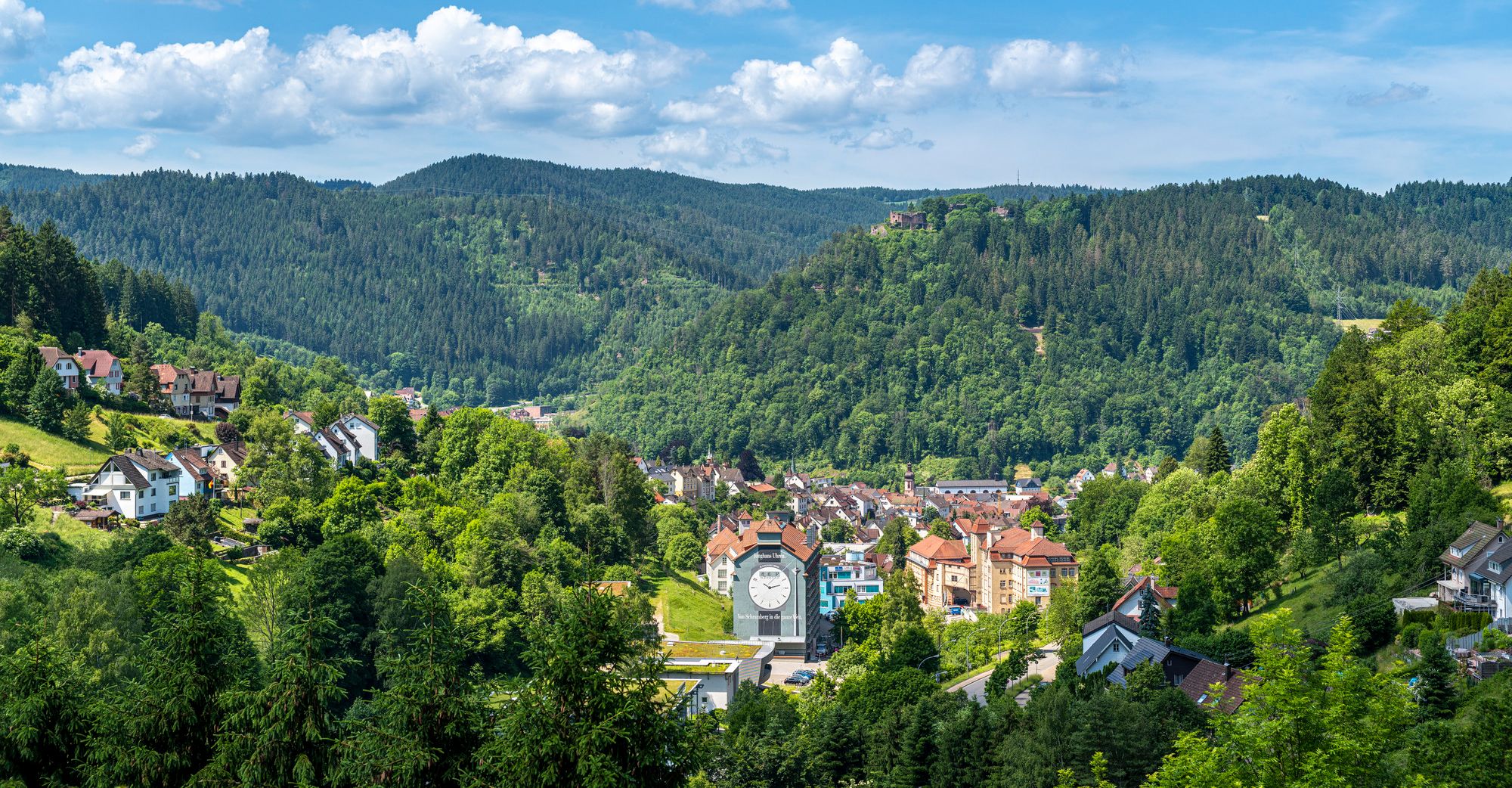
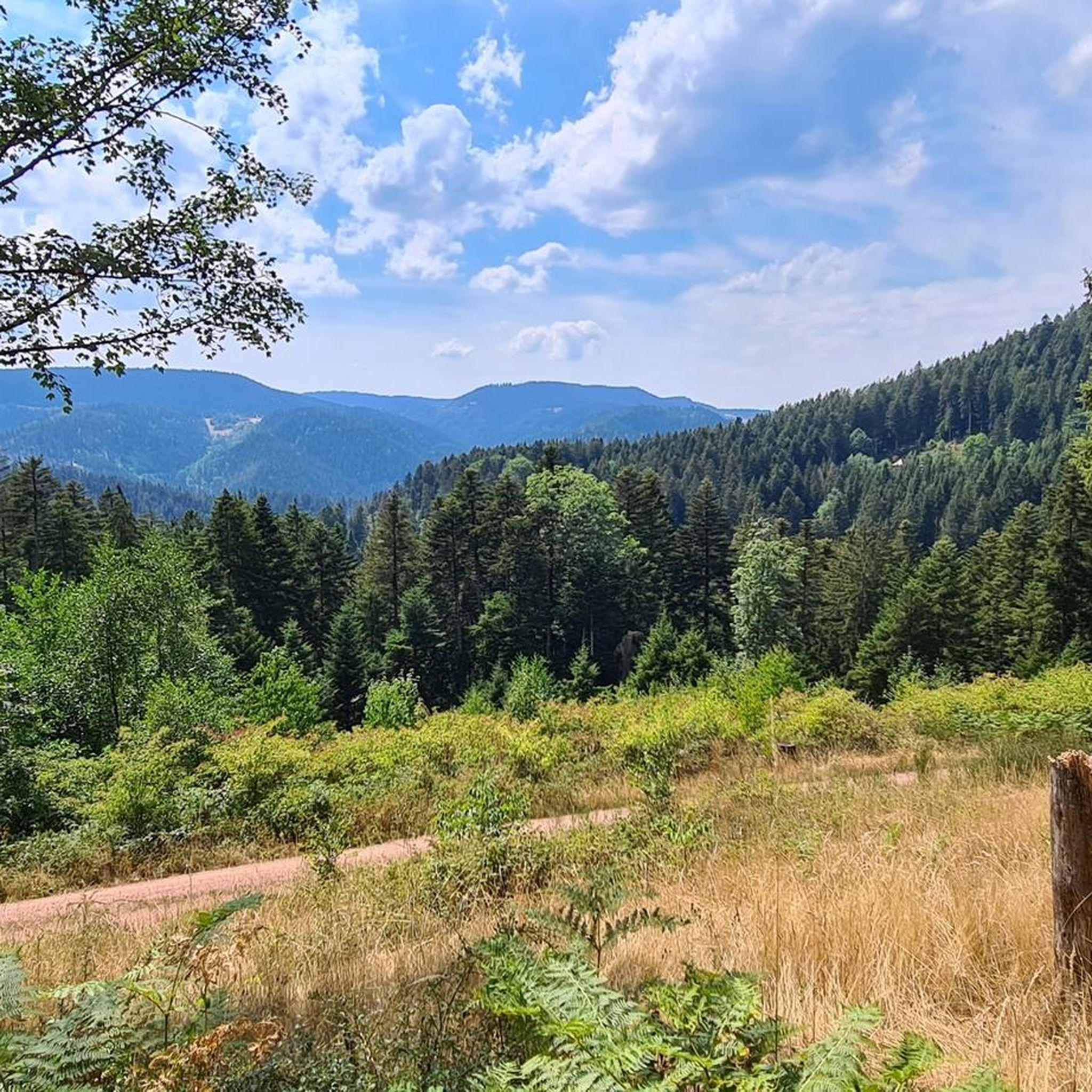
Jogging around Aichhalden offers diverse landscapes within the Black Forest region, characterized by lush forests, rolling hills, and scenic valleys. The terrain varies from gentle paths to more challenging inclines, providing options for different fitness levels. Natural monuments, canyons, and waterfalls enhance the visual appeal of the routes. The area's extensive trail network is well-suited for running, with paths leading through serene natural beauty and past historical landmarks.
Best jogging routes around Aichhalden
- The most popular jogging route is Bridge…
Last updated: October 5, 2026
11
runners
15.4km
01:54
490m
490m
Hard run. Very good fitness required. Mostly paved surfaces. Suitable for all skill levels.
3.0
(1)
10
runners
5.70km
00:36
40m
40m
Moderate run. Good fitness required. Mostly paved surfaces. Suitable for all skill levels.

3.0
(2)
5
runners
7.36km
00:46
40m
40m
Moderate run. Good fitness required. Mostly paved surfaces. Suitable for all skill levels.
3.0
(1)
10
runners
6.47km
00:41
90m
90m
Moderate run. Good fitness required. Mostly paved surfaces. Suitable for all skill levels.
6
runners
13.4km
01:24
100m
100m
Moderate run. Good fitness required. Mostly paved surfaces. Suitable for all skill levels.
Get access to more routes and recommendations from other explorers.
Already have an account?
Our route recommendations are based on thousands of hikes, rides, and runs completed by other people on komoot.
Start today with a free account
Your next adventure awaits.

Other adventures around Aichhalden

Tips from the Community

The Winzeln-Schramberg airfield (EDTW) is a traditional special landing site in Baden-Württemberg. It is idyllically situated on a plateau west of the municipality of Fluorn-Winzeln and serves as an important center for air sports in the central Black Forest as well as a popular excursion destination for the entire region. The owner and operator of the site is the Luftsportverein Schwarzwald e.V. (LSV), which maintains departments for powered flying, gliding, ultralight flying, and model flying at the site.🛩️ Technical data and flight operations Infrastructure: The airfield has a 704-meter-long and 20-meter-wide asphalt runway (orientation 14/32) as well as a parallel grass runway for gliding operations. It is located at an altitude of 671 meters (2,202 feet) above sea level. Flight control: On Saturdays, Sundays, and public holidays, the airfield is continuously staffed with flight control.
0
0
The Brandsteig is an important archaeological site of a Roman temple district and a mountain pass in the Black Forest. It is located about two kilometers west of the village of Rötenberg in the municipality of Aichhalden (district of Rottweil, Baden-Württemberg) at an altitude of 690 meters. Kinzigtalstraße: The pass marks the highest point of the ancient Roman long-distance road. This was built from 73/74 AD under Emperor Vespasian. It considerably shortened the journey between Strasbourg (Argentoratum) and Rottweil (Arae Flaviae).
0
0

From the Schlossberg (castle hill) you can enjoy the view over Schiltach and the surrounding area and you can linger for a rest.
9
0

Perfect for cooling off on hot days
2
0


An "Archimedean screw" that children can have a little fun with.
3
0

Beautiful view over the Kinzig Valley
0
0
View from the Brandsteig. On the one hand towards the Swabian Alb and over the Kinzig valley
0
0
Frequently Asked Questions
How many running routes are available in Aichhalden?
Aichhalden offers a wide selection of running routes, with over 50 different trails to explore. These routes cater to various fitness levels, ranging from easy paths to more challenging runs through the Black Forest landscape.
Are there easy running routes suitable for beginners or families in Aichhalden?
Yes, Aichhalden provides several easy running routes perfect for beginners or families. Out of the 50 available trails, 8 are classified as easy, offering gentle paths through the scenic Black Forest region. Many of the 40 moderate routes also provide a balanced experience without extreme difficulty.
What kind of terrain can I expect on the running trails around Aichhalden?
The running trails around Aichhalden feature diverse terrain characteristic of the Black Forest. You can expect a mix of lush forests, rolling hills, and scenic valleys. The paths vary from gentle, well-maintained sections to more challenging inclines, providing a varied experience for all runners.
Are there any circular running routes in Aichhalden?
Yes, many of the running routes in Aichhalden are designed as circular loops, allowing you to start and finish at the same point. For example, the popular Running loop from Aichhalden is a moderate 4.3-mile (6.9 km) circular path, and the Bühlen Bench – Winzeln-Schramberg Airfield loop from Rötenberg is another great option.
What interesting sights or landmarks can I see along the running routes?
Many running routes in Aichhalden offer opportunities to see historical sites and natural beauty. You might pass by the Ruins of Hohenschramberg Castle, which provides panoramic views, or the charming Half-timbered Old Town of Schiltach. Natural attractions like the Lauterbach Waterfalls or the Trombach Waterfall and Mossy Boulders are also accessible along certain trails.
Are there any running routes that pass by waterfalls?
Yes, Aichhalden's natural landscape includes beautiful waterfalls. You can find routes that lead to or near the Lauterbach Waterfalls and the Trombach Waterfall and Mossy Boulders, offering refreshing sights during your run.
What do other runners enjoy most about jogging in Aichhalden?
The running routes in Aichhalden are highly rated by the komoot community, with an average score of 4.4 stars from over 30 reviews. Runners often praise the diverse landscapes, the serene natural beauty of the Black Forest, and the well-maintained trail network that caters to various skill levels. The combination of challenging inclines and gentle paths, along with scenic views, makes it a popular choice.
What is the typical length and duration of running routes in Aichhalden?
Running routes in Aichhalden vary significantly in length and duration. You can find shorter runs like the Running loop from Aichhalden, which is 4.3 miles (6.9 km) and takes about 45 minutes. Longer, more challenging routes, such as the Winzeln-Schramberg Airfield – Scenic Passage loop from Rötenberg, cover about 8.3 miles (13.4 km) and can take around 1 hour 24 minutes.
Are there any viewpoints along the running trails in Aichhalden?
Absolutely! The region offers several rewarding viewpoints. The Ruins of Hohenschramberg Castle, for instance, provides panoramic views of five valleys from its 630-meter elevation. You might also discover other scenic spots like the Auerhahnweg Station: The Sleeping Place, which offers picturesque vistas.
Can I find running routes that are more challenging?
Yes, for those seeking a more intense workout, Aichhalden offers several difficult running routes. There are 2 routes specifically classified as difficult, providing significant elevation changes and longer distances. An example is the Bridge Guard Schiltach – Schiltach Historic Old Town loop from Aichhalden, a 9.6-mile (15.4 km) trail with nearly 500 meters of elevation gain.
Are there any running routes that pass by lakes or ponds?
Yes, some routes in the Aichhalden area will lead you past tranquil water features. For example, the Matten Pond is a natural highlight that can be incorporated into a scenic run, offering a peaceful spot to enjoy the surroundings.
Most popular routes around Aichhalden
Most popular attractions around Aichhalden

Get inspired with the komoot mobile app


Explore more
Browse the best Running Trails & Routes in other regions.
