The best walks and hikes around Mullylusty
4.0
(30)
333
hikers
12
hikes
Hiking around Mullylusty offers exploration of a traditional Irish countryside characterized by rolling green fields, meadows, stone walls, and woodlands. The region features unique blanket bog landscapes and provides views of prominent natural landmarks such as Cuilcagh Mountain and the Marble Arch Caves Global Geopark. Geological formations like the Hanging Rock limestone cliff also contribute to the diverse scenery. This area, nestled within the Fermanagh Lakelands, provides a serene setting for walks and hikes.
Best hiking trails around Mullylusty
- The…
Last updated: September 30, 2026
5.0
(1)
6
hikers
21.2km
06:17
610m
610m
Hard hike. Very good fitness required. Easily-accessible paths. Suitable for all skill levels.
3.5
(2)
32
hikers
6.08km
01:45
140m
140m
Easy hike. Great for any fitness level. Easily-accessible paths. Suitable for all skill levels.

17
hikers
3.47km
00:59
80m
80m
Easy hike. Great for any fitness level. Easily-accessible paths. Suitable for all skill levels.
4.5
(2)
4
hikers
10.1km
02:54
250m
250m
Moderate hike. Good fitness required. Easily-accessible paths. Suitable for all skill levels.
4.5
(4)
24
hikers
Easy hike. Great for any fitness level. Easily-accessible paths. Suitable for all skill levels.
Get access to more routes and recommendations from other explorers.
Already have an account?
Our route recommendations are based on thousands of hikes, rides, and runs completed by other people on komoot.
Start today with a free account
Your next adventure awaits.
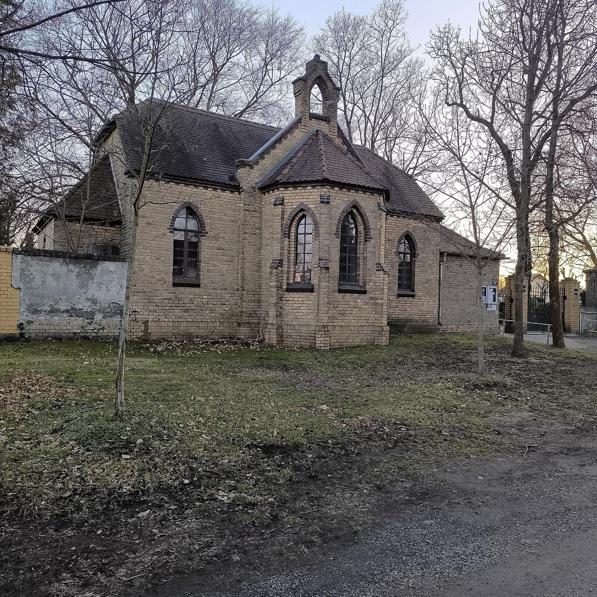
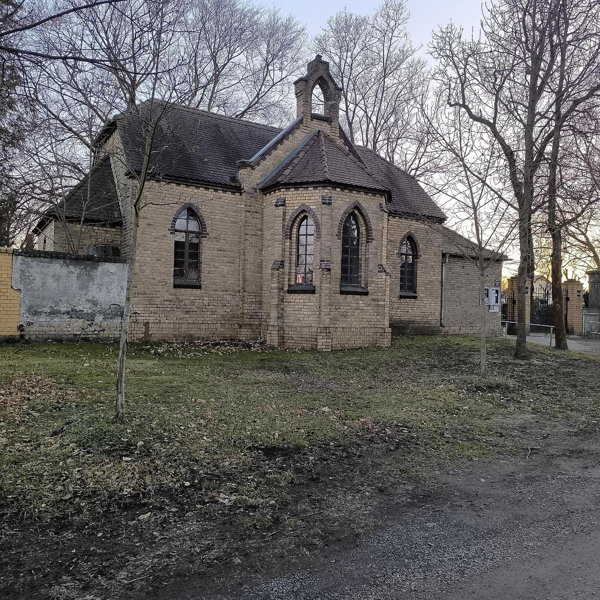
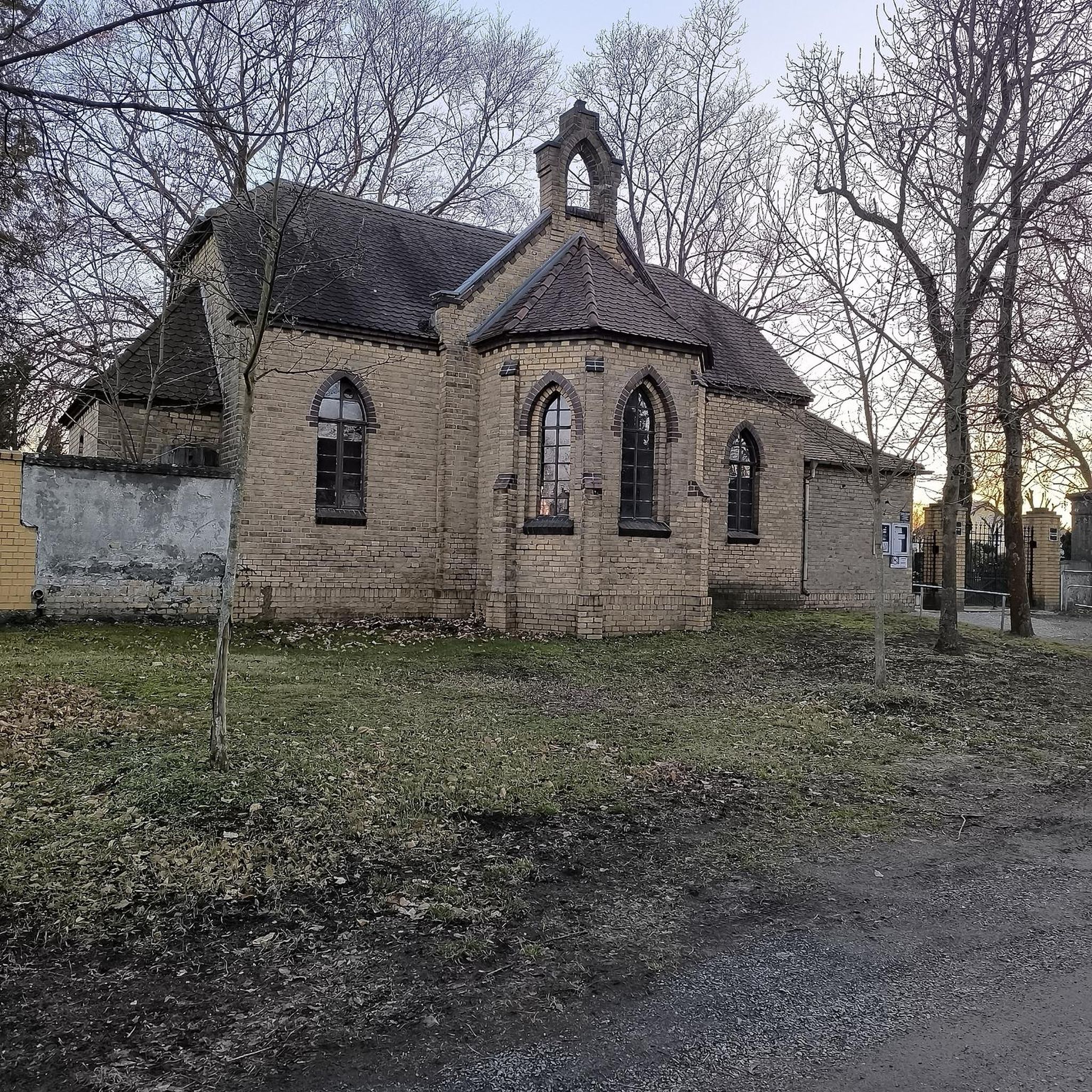
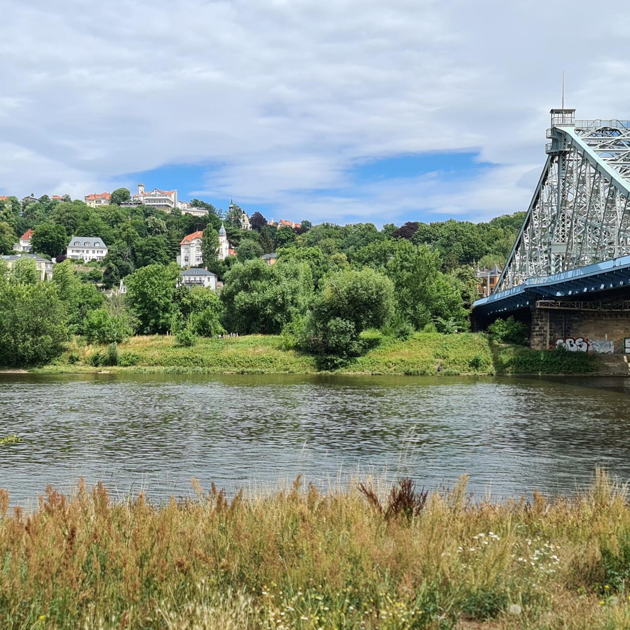

Tips from the Community

The Cuilcagh Boardwalk Trail, affectionately known as the "Stairway to Heaven," offers a challenging yet rewarding hike through one of Northern Ireland's most stunning landscapes. Spanning approximately 11 km round-trip, the trail meanders through expansive blanket bogs before culminating in a steep ascent of 450 wooden steps to a viewing platform atop Cuilcagh Mountain. Hikers are treated to breathtaking panoramic views of the surrounding lowlands, including glimpses of counties Cavan, Leitrim, and Donegal on clear days. While the boardwalk was constructed to protect the delicate bog ecosystem, it has also made the trail more accessible, attracting over 60,000 visitors annually.
3
0

Great walk, very touristy but it's worth the detour! Be careful of the crowds (on weekends and in summer I dare not imagine!). However, BE CAREFUL, the summit is not accessible, you have to pass the protective barriers which allow the wild nature to be preserved from our steps and from this crowd of people. If we, the Komoot community, start to do this all the tourists will allow themselves and the landscape will never be so beautiful again! (Ps: no need to climb to the top to already see enough in the eyes!)
1
0


Incredible Stone-Age park, with some technical trails. Massive mythological sacred stones worshipped over centuries, will follow you when adventuring into this unique geological and archaeological forest landscape.
0
0
"continual slur on Irish caving" It's actually only a few hundred metres is accessible and it's total length is thought to be 2km. No where near the longest cave in Ireland. Consider a trip in only if well equipped with a good light and helmet. Alternatively/also consider visiting McKenzies back lounge just down the road. A much drier watering hole. ;)
1
0

Tullygobban Tomb is over 4000 years old and is aligned to face the sunset on the shortest day of the year, the Winter Solstice. Look south towards the cairn atop Cullcagh Mountain and you will see that the summit, this tomb, the Calf House Tomb and an erratic boulder all lie up.
1
0
Stunning limestone caves which you can explore on a guided tour. Well worth a visit. There are 150 steps down to the caves so if you are wearing cleats please be aware, or change into a pair of trainers before you descend down into the natural wonder. There is also a cafe on site. For further details please see https://marblearchcaves.co.uk/
1
0

Very long and strenuous hike if you want to go up the mountain. Warm clothing is a must. As soon as you leave the low vegetation, the wind gets really unpleasant and cold...
2
0
Frequently Asked Questions
How many hiking trails are available around Mullylusty?
There are over 10 hiking trails around Mullylusty, offering a range of difficulties from easy strolls to more challenging mountain ascents. The area's network provides diverse options for exploring the traditional Irish countryside.
What kind of landscapes can I expect to see while hiking near Mullylusty?
Hiking near Mullylusty offers a blend of traditional Irish countryside with rolling green fields, meadows, stone walls, and woodlands. You'll also encounter unique blanket bog landscapes and enjoy views of prominent natural landmarks like Cuilcagh Mountain and the Marble Arch Caves Global Geopark. Geological formations such as the Hanging Rock limestone cliff add to the diverse scenery.
Are there any family-friendly hiking options around Mullylusty?
Yes, there are several family-friendly options. An easy choice is the Belmore Forest loop via Pollnagollum Cave, which is 3.8 miles (6.1 km) and features a cave. Another accessible route is Marble Arch Caves via Cladagh River, a 2.2-mile (3.5 km) trail through the Cladagh River valley.
Can I bring my dog on the hiking trails near Mullylusty?
Many trails in the Mullylusty area are dog-friendly, but it's always best to check specific trail regulations, especially in protected areas or those with livestock. For example, the Belmore Forest loop via Pollnagollum Cave is generally suitable for dogs, provided they are kept under control.
Are there any circular walks available in the Mullylusty area?
Yes, several circular walks are available. The Belmore Forest loop via Pollnagollum Cave is an easy circular route through forest terrain. For a more challenging option, the Cuilcagh Mountain Park loop offers expansive views over a difficult 13.2-mile (21.2 km) path.
What interesting landmarks or natural features can I see along the trails?
The trails around Mullylusty offer views of several notable features. You can see the dramatic backdrop of Cuilcagh Mountain and the renowned Marble Arch Caves Global Geopark. Specific highlights include the Giant's Grave & Giant's Cave, the Cavan Burren Park Megalithic Stones, and the Cladagh Glen Waterfall. The Pollnagollum Cave and Waterfall is also a significant natural attraction.
Is there public transport or parking available for the hiking trails?
While Mullylusty itself is a tranquil area, the nearby villages of Belcoo and Blacklion serve as local hubs. Parking is generally available at trailheads for popular routes like those in Belmore Forest or near Cuilcagh Mountain Park. Public transport options to reach specific trailheads might be limited, so planning private transport is often recommended for flexibility.
What is the best time of year to go hiking in Mullylusty?
The Fermanagh countryside around Mullylusty is beautiful year-round, but the best time for hiking is typically from late spring to early autumn (May to September) when the weather is milder and daylight hours are longer. This period offers the best conditions for enjoying the expansive views and blanket bog landscapes. Be prepared for changeable weather, even in summer.
Are there any waterfalls to see on hikes near Mullylusty?
Yes, you can encounter waterfalls on hikes in the area. The Cladagh Glen Waterfall is a notable feature, and the Pollnagollum Cave and Waterfall can be found along routes like the Belmore Forest loop.
What do other hikers enjoy most about hiking in Mullylusty?
The area is highly rated by the komoot community, with an average score of 4.1 stars from over 25 reviews. Hikers often praise the serene setting of the traditional Irish countryside, the unique blanket bog landscapes, and the stunning views of natural landmarks like Cuilcagh Mountain and the Marble Arch Caves.
Are there any permits required for hiking in certain areas?
For most general hiking trails around Mullylusty, permits are not typically required. However, for specific managed sites or popular attractions like the Cuilcagh Boardwalk Trail (Stairway to Heaven), it is advisable to check their official websites in advance, as booking or permits may be necessary, especially during peak seasons.
Where can I find refreshments or accommodation near the hiking areas?
While Mullylusty itself is a quiet townland, the nearby twin villages of Belcoo and Blacklion serve as local hubs where you can find cafes, pubs, and accommodation options. The larger towns of Derrygonnelly and Enniskillen also offer a wider range of services and are within a reasonable driving distance.
Most popular attractions around Mullylusty

Get inspired with the komoot mobile app


Explore more
Browse the best Hikes in other regions.
