The best mountain hikes around Gütenbach
5.0
(1)
7
hikers
4
hikes
Mountaineering routes around Gütenbach are situated in the Schwarzwald-Baar-Kreis, offering varied terrain for outdoor enthusiasts. The region is characterized by dense woodlands, rolling hills, and notable peaks like Schultiskopf, which reaches 1,072 meters. Mountaineers can explore routes that feature waterfalls, historic mills, and scenic forest paths. The landscape provides a mix of challenging ascents and moderate trails through the natural environment.
Best mountaineering routes around Gütenbach
- The most popular mountaineering route is Wehrlehof Mill – Schultiskopf (1,072 m) loop from…
Last updated: October 8, 2026
5.0
(1)
2
hikers
6.96km
02:19
220m
220m
Moderate mountaineering route. Good fitness required. Mostly accessible paths. Sure-footedness required.
2
hikers
7.83km
02:09
130m
130m
Moderate mountaineering route. Good fitness required. Easily-accessible paths. Suitable for all skill levels.

1
hikers
5.02km
02:18
360m
360m
Moderate mountaineering route. Good fitness required. Mostly accessible paths. Sure-footedness required.
2
hikers
14.1km
04:11
420m
420m
Moderate mountaineering route. Good fitness required. Easily-accessible paths. Suitable for all skill levels.
Our route recommendations are based on thousands of hikes, rides, and runs completed by other people on komoot.
Start today with a free account
Your next adventure awaits.
Popular around Gütenbach
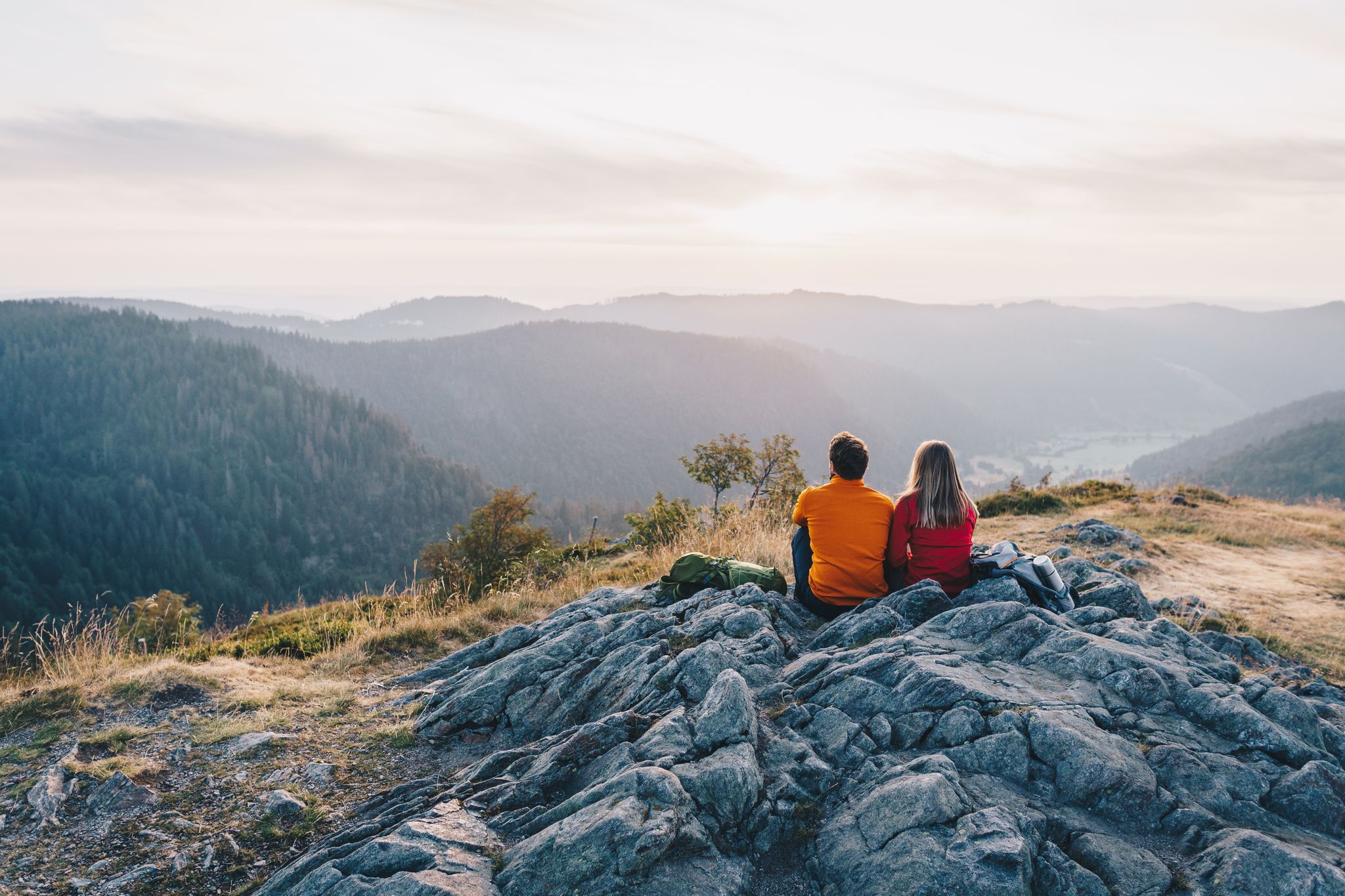
ZweiTälerSteig and other cool hikes in Germany
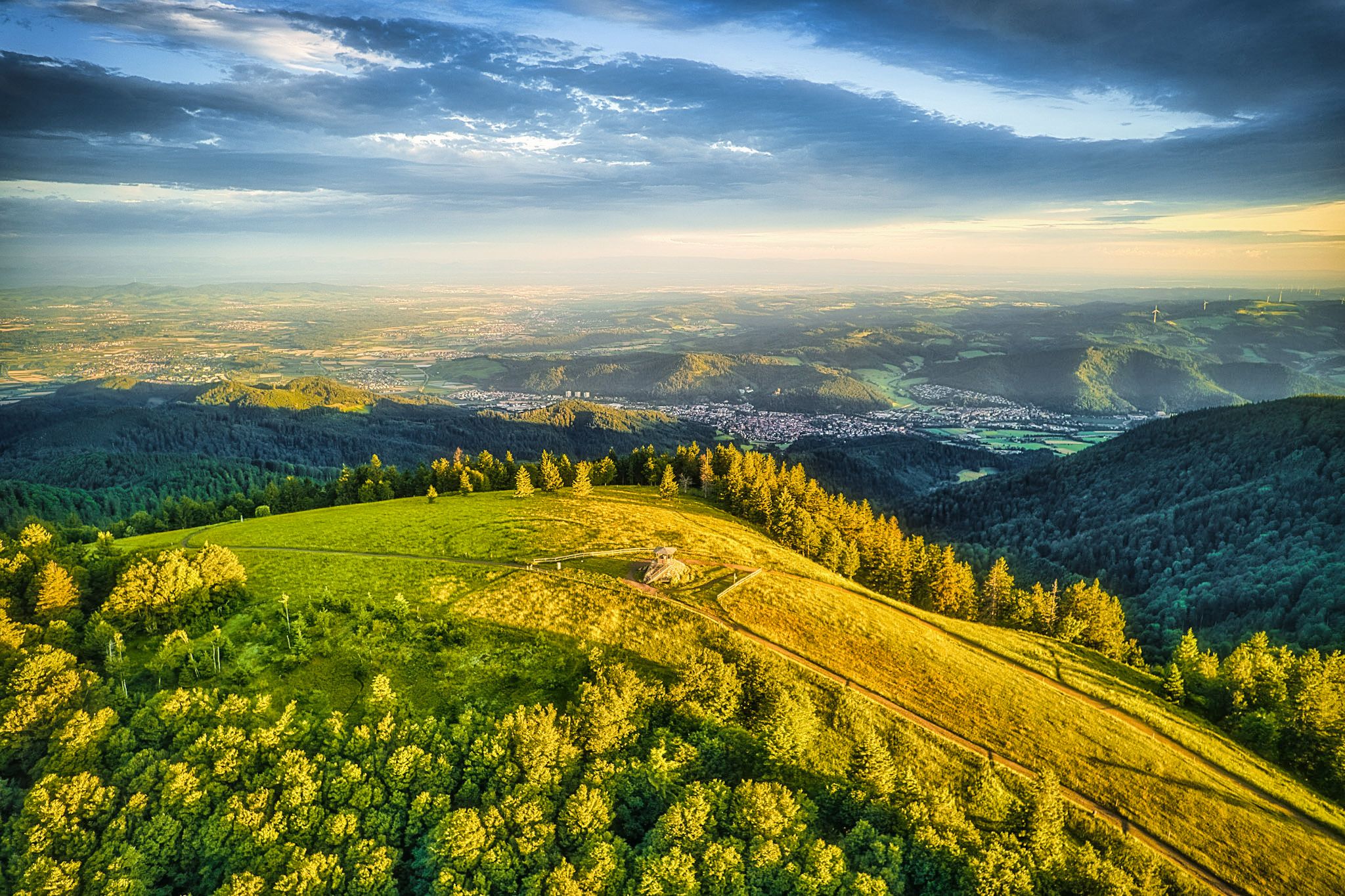
Two valleys, endless views – hiking in the ZweiTälerLand
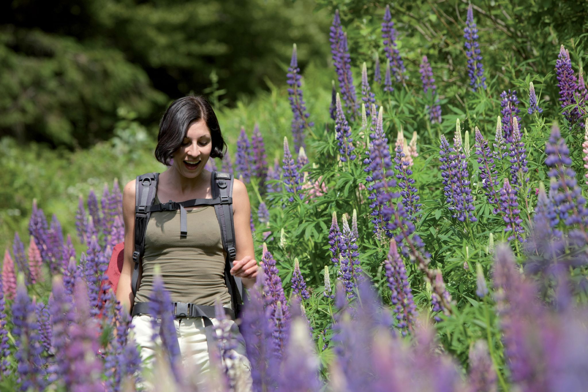
Exploring the Black Forest in Germany – fantastic trails & nature
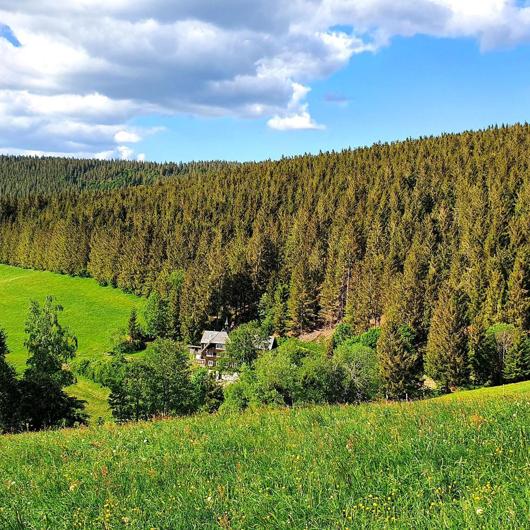
Hiking around Gütenbach
Road Cycling Routes around Gütenbach
Cycling around Gütenbach
MTB Trails around Gütenbach
Running Trails around Gütenbach
Gravel biking around Gütenbach
Other adventures around Gütenbach


Tips from the Community

The view of the ski jumping facility and down into the valley is impressive!
0
0

the watershed between the Danube and the Rhine
0
0

The European watershed at Martinskapelle near Furtwangen in the Black Forest separates the catchment area of the North Sea (via the Rhine) from that of the Black Sea (via the Danube) at an altitude of around 1,085 meters. Course of the watershed Rhine catchment area (northwestern side): The Elz rises here, which ultimately flows into the North Sea via the Rhine. Danube catchment area (southeastern side): Only about 100 meters from the watershed lies the Breg spring. The Breg is considered the longest source river of the Danube, whose waters flow into the Black Sea. The separation: A ridge only a few meters wide decides here whether a water droplet begins its journey west to the Rhine or east to the Danube.
0
0

Unfortunately, the Hintereck is temporarily closed.
0
0

Hut closed from the end of 2025
0
0

Small shelter here, solid wooden floor.
0
0
Frequently Asked Questions
What kind of mountaineering routes can I find around Gütenbach?
The Gütenbach region, nestled in the Schwarzwald-Baar-Kreis, offers a diverse range of mountaineering routes. You'll find paths winding through dense woodlands, over rolling hills, and leading to notable peaks like Schultiskopf. The landscape is characterized by its natural beauty, featuring waterfalls, historic mills, and scenic forest trails. Most routes are of moderate difficulty, with some challenging options available for experienced mountaineers.
Are there any beginner-friendly mountaineering routes in Gütenbach?
While there are no routes explicitly classified as 'easy' in this guide, several 'moderate' routes are suitable for beginners with a reasonable level of fitness. For instance, the Schönwälder Urhüttle – Blindensee loop from Schönwald im Schwarzwald is a moderate 7.8-mile (7.8 km) path with less elevation gain, offering a good introduction to the region's trails. Another option is the Hintereck Hut – Wildsaupfad Trail loop from Gütenbach, a shorter moderate route.
Can I find circular mountaineering routes in the Gütenbach area?
Yes, many of the mountaineering routes around Gütenbach are designed as circular trails, allowing you to start and end at the same point. Popular options include the challenging Wehrlehof Mill – Schultiskopf (1,072 m) loop from Simonswald, and the moderate Wildgutach Waterfall – Hintereck Hut loop from Gütenbach.
Are there mountaineering routes suitable for families with children?
For families, routes that are shorter and have less strenuous elevation changes are generally recommended. The Schönwälder Urhüttle – Blindensee loop from Schönwald im Schwarzwald is a moderate option that might be suitable for active families, as it's shorter and features the scenic Blindensee. Always consider the fitness level of all family members before embarking on a route.
What are the best routes for scenic views in Gütenbach?
Many routes offer excellent views, especially those reaching higher elevations. The Wehrlehof Mill – Schultiskopf (1,072 m) loop from Simonswald is known for its panoramic vistas from Schultiskopf. Additionally, routes passing by viewpoints like the Thomashütte with a great view or the Brend Tower will provide memorable scenic experiences.
Are there any mountaineering routes that feature waterfalls?
Yes, waterfalls are a prominent feature of the Gütenbach region. The Wildgutach Waterfall – Hintereck Hut loop from Gütenbach and the Hintereck Hut – Wildgutach Waterfall loop from Beim Engel both guide you past the impressive Wildgutach Waterfall. The famous Triberg Waterfalls are also a significant natural monument in the wider area.
What is the best time of year for mountaineering in Gütenbach?
The spring, summer, and autumn months generally offer the most favorable conditions for mountaineering in Gütenbach. During these seasons, the weather is typically milder, and the trails are clear of snow and ice, making for safer and more enjoyable experiences. Autumn also brings vibrant fall foliage to the dense forests.
Are dogs allowed on the mountaineering trails around Gütenbach?
Generally, dogs are welcome on most public trails in the Black Forest region, including those around Gütenbach. However, it's always advisable to keep your dog on a leash, especially in forested areas to protect wildlife and ensure the safety of other hikers. Be sure to check for any specific local regulations or protected areas that might have restrictions.
What kind of wildlife can I expect to see while mountaineering in Gütenbach?
The dense forests and natural landscapes around Gütenbach are home to various wildlife. You might spot deer, foxes, and a variety of bird species. If you're lucky and quiet, you could even catch a glimpse of wild boar. Early mornings or late evenings are often the best times for wildlife spotting.
Are there any interesting natural monuments or landmarks to explore near the routes?
Absolutely! Beyond the trails themselves, the region boasts several natural monuments and points of interest. You can visit the serene Blindensee and its unique Boardwalk through the Blindensee Moor. The iconic Triberg Waterfalls are also a must-see attraction in the vicinity.
What is the typical duration and difficulty range for mountaineering routes here?
The mountaineering routes around Gütenbach vary significantly in duration and difficulty. You can find moderate routes like the Hintereck Hut – Wildsaupfad Trail loop from Gütenbach, which is about 3 miles (4.8 km) and takes around 2 hours 15 minutes. On the more challenging end, the Wehrlehof Mill – Schultiskopf (1,072 m) loop from Simonswald spans 13.5 miles (21.7 km) and can take over 7 hours 30 minutes to complete, involving significant elevation gain.
What do other mountaineers say about the routes in Gütenbach?
The komoot community highly rates the mountaineering experiences around Gütenbach, with an average score of 5.0 stars. Reviewers often praise the diverse forest scenery, the presence of beautiful waterfalls, and the well-maintained paths that offer both moderate and challenging options for exploration.
Most popular routes around Gütenbach
Most popular attractions around Gütenbach

Get inspired with the komoot mobile app


Explore more
Browse the best Mountain Hikes & Routes in other regions.
