The best running trails around Höchenschwand
4.6
(28)
290
runners
34
runs
Jogging around Höchenschwand offers routes through a high-altitude landscape in the Southern Black Forest. Situated at an elevation of over 1,000 meters, the region provides a mild climate and clear air. Dense forests characterize much of the terrain, with varied paths ranging from gentle hills to more challenging ascents. From elevated positions, runners can experience panoramic views across the Rhine valley and towards the Alps.
Best jogging routes around Höchenschwand
- The most popular jogging route is Church of Höchenschwand –…
Last updated: June 28, 2026
5.0
(3)
21
runners
Moderate run. Good fitness required. Mostly paved surfaces. Suitable for all skill levels.
4.0
(2)
24
runners
Moderate run. Good fitness required. Mostly paved surfaces. Suitable for all skill levels.

Sign up for free
4.4
(5)
11
runners
Moderate run. Good fitness required. Mostly paved surfaces. Suitable for all skill levels.
5.0
(1)
22
runners
8.04km
00:53
120m
120m
Moderate run. Good fitness required. Mostly paved surfaces. Suitable for all skill levels.
5.0
(1)
12
runners
15.0km
01:41
340m
340m
Hard run. Very good fitness required. Mostly paved surfaces. Suitable for all skill levels.
Get access to more routes and recommendations from other explorers.
Sign up for free
Already have an account?
Our route recommendations are based on thousands of hikes, rides, and runs completed by other people on komoot.
Start today with a free account
Your next adventure awaits.
Login or Signup
Popular around Höchenschwand
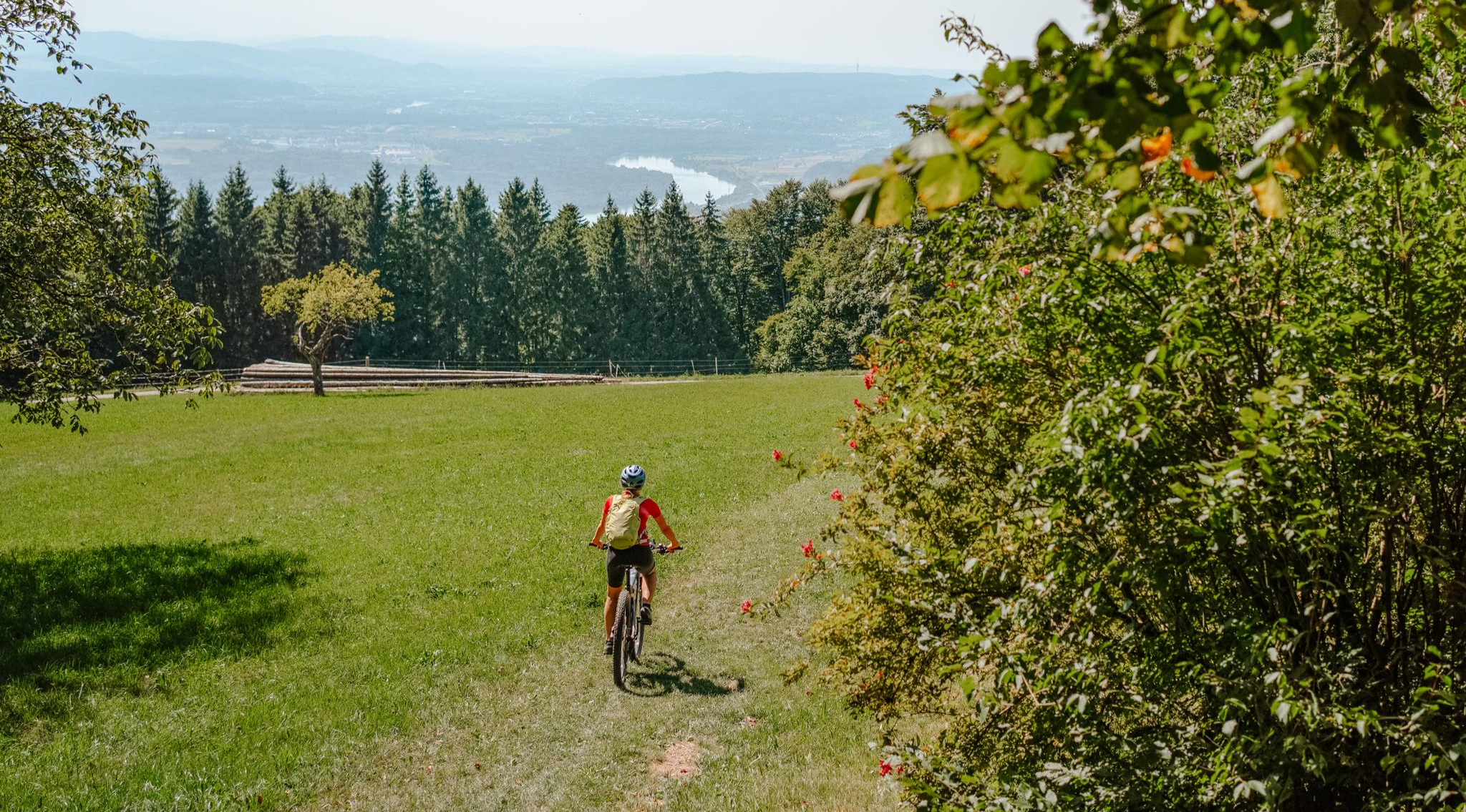
Build your dream ride: Modular biking in the Southern Black Forest
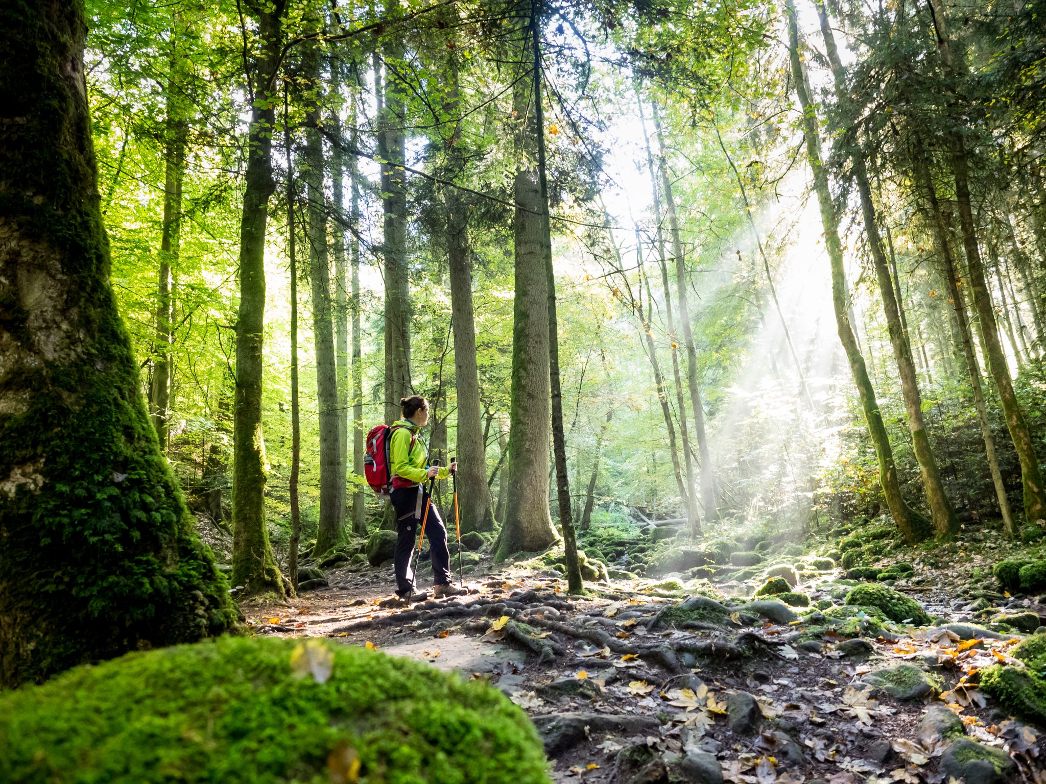
Far from the hustle and bustle – Hidden Trails in the Black Forest
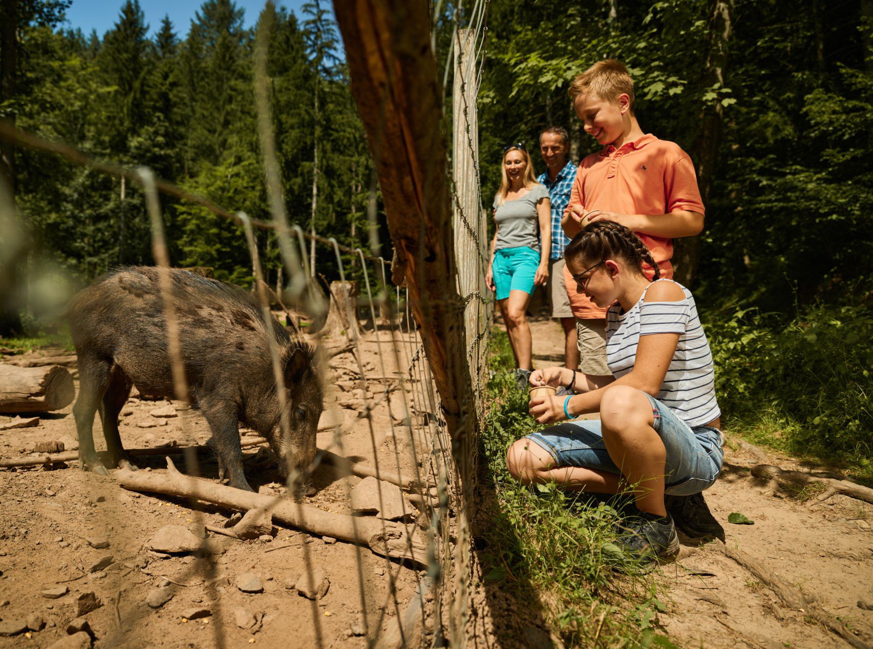
Animal Tours – family hikes in the southern Black Forest
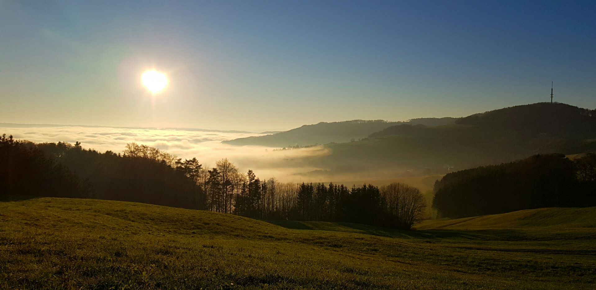
Die Schönheit des Herbstes – Wanderungen im Südschwarzwald
Hiking around Höchenschwand
Cycling around Höchenschwand
Road Cycling Routes around Höchenschwand
MTB Trails around Höchenschwand
Gravel biking around Höchenschwand
Other adventures around Höchenschwand


Tips from the Community

The Albtalschanze rock with its memorial plaque recalls the region's history and at the same time offers a beautiful view of the surrounding landscape. An interesting place where nature and historical memory meet.
0
0

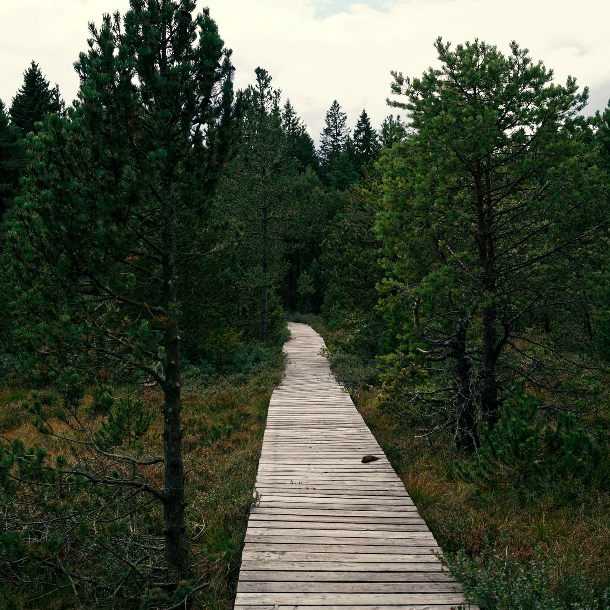
It's worth parking your bike here for a while. You can take a stroll through the moor on wooden boardwalks. Numerous animals and plants feel at home here.
1
0


This small pond on the Legendary Trail is home to a white mermaid and the setting of a legendary love story with a happy ending. Whether you see the mermaid here or not, the bench on the shore offers an idyllic spot for a rest.
0
0

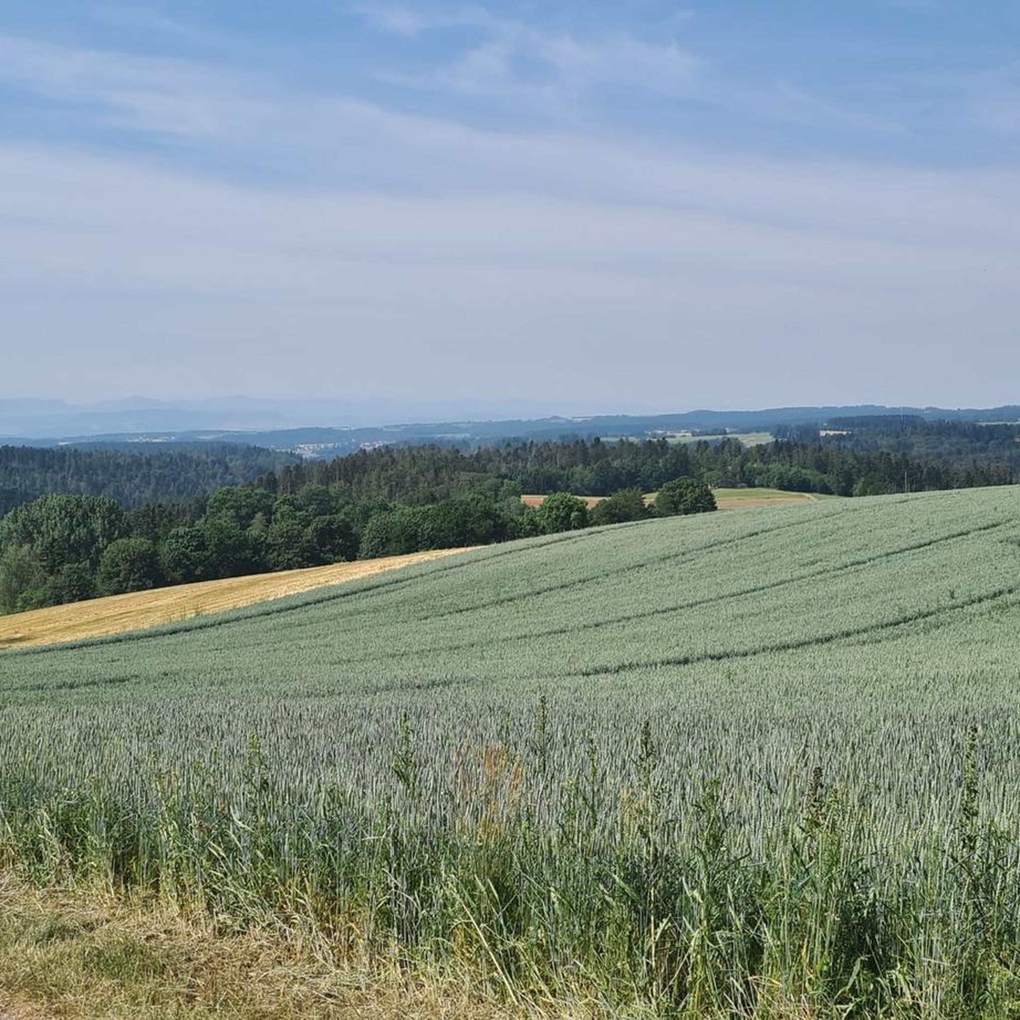
Magnificent views of the Alb Valley. A bench and a sky lounger invite you to linger.
0
0

Here's the information on the very well-designed display board: https://www.grafschaft-hauenstein.info/article/b66a56bf-69ab-4879-a488-60076c7b3f20
0
0

Beautiful church in the center of Höchenschwand
1
0
Good view of the Alb valley
0
0
Frequently Asked Questions
What is the general difficulty level of running routes in Höchenschwand, and are there options for beginners?
Höchenschwand offers a variety of running routes catering to different fitness levels. While many are classified as moderate, there are also easier options suitable for beginners. The region's high-altitude location means you can expect varied terrain, from gentle hills to more challenging ascents. Overall, there are 30 routes available, with 4 considered easy, 21 moderate, and 5 difficult.
What natural features or panoramic views can I expect to see while running in Höchenschwand?
Running in Höchenschwand provides stunning natural scenery. From its elevated position at 1,015 meters, you can often enjoy breathtaking panoramic views across the Rhine valley, towards the Vosges mountains, and even the distant Alpine range, including Mont Blanc on clear days. The routes also lead through dense forests and past unique raised bogs. For a route with exceptional views, consider the Church of Höchenschwand – View of Switzerland loop from Höchenschwand.
Are there any specific attractions or landmarks along the running trails in Höchenschwand?
Yes, several interesting attractions and natural landmarks can be found near the running routes. You might encounter the picturesque Monastery Pond, or enjoy the scenic Amalienruhe viewpoint. For those interested in natural wonders, the Windberg Waterfall and the Windberg Gorge are also nearby. The impressive Lake Schluchsee is also a prominent feature in the wider area.
How accessible are the running trails in Höchenschwand by public transport or car?
Höchenschwand is a well-known health resort, and while specific public transport details for each trailhead aren't provided, the village itself is generally accessible. For those driving, many trailheads, especially for popular routes, typically offer parking facilities. It's advisable to check local signage or tourist information for the most convenient parking spots near your chosen running route.
Are the running routes in Höchenschwand dog-friendly?
Generally, the extensive network of trails in the Black Forest region, including around Höchenschwand, is dog-friendly. Many runners enjoy bringing their dogs along. However, it's always recommended to keep dogs on a leash, especially in forested areas to protect wildlife, and to be mindful of other trail users. Always carry waste bags and ensure your dog is well-behaved.
Are there family-friendly or stroller-friendly running options in Höchenschwand?
Höchenschwand's trail network includes paths suitable for various activities. While specific 'stroller-friendly' routes are not explicitly listed, the region's 'easy' graded routes and wider forest paths are often suitable for families with children or those pushing robust jogging strollers. The mild climate and pure air make it an excellent environment for outdoor family activities. Look for routes with minimal elevation gain and smoother surfaces.
What is the best time of year to go running in Höchenschwand, and are there winter options?
Höchenschwand is an excellent destination for running year-round. Its high-altitude location ensures a mild, bracing, and sunny climate, even in autumn and winter, often above the inversion layer. This means clear air and extended sunshine. In winter, the region transforms into a winter wonderland with dedicated winter hiking roads, making it possible to continue running or enjoy snowshoe tours and cross-country skiing.
What do other runners enjoy the most about jogging in Höchenschwand?
The running routes in Höchenschwand are highly rated by the komoot community, with an average score of 4.7 stars from over 20 reviews. Runners frequently praise the region's unique high-altitude climate, the clear, pure air, and the stunning panoramic views, especially towards Switzerland and the Alps. The varied terrain through dense forests and well-maintained trails also contributes to a highly enjoyable running experience.
Are there any circular running routes available in Höchenschwand?
Yes, Höchenschwand offers numerous circular running routes, which are very popular among the komoot community. Examples include the Church of Höchenschwand – View of the Alb Valley loop from Höchenschwand, which explores varied terrain, and the View of the Black Forest loop from Höchenschwand, leading through dense forests. These loops allow you to start and finish at the same point, making planning easier.
How many running routes are available in the Höchenschwand area?
There are approximately 30 dedicated running routes available for exploration around Höchenschwand. This extensive network provides a wide range of options for runners of all abilities, from shorter, easier paths to longer, more challenging trails through the diverse Black Forest landscape.
What kind of terrain can I expect on the running trails in Höchenschwand?
The terrain in Höchenschwand is quite varied, reflecting its location in the southern Black Forest. You can expect a mix of dense forest paths, open high-altitude plateaus, and trails that range from gentle hills to more strenuous ascents. The region's unique raised bogs also offer distinct natural paths. The surfaces are generally natural, well-maintained trails suitable for running.
Are there any health benefits associated with running in Höchenschwand?
Yes, Höchenschwand is recognized as a climatic health resort, and running here offers significant health benefits. The high altitude (1,015 meters) provides mild, bracing, and pure air. The low atmospheric pressure positively impacts the respiratory tract and cardiac activity, enhancing physical well-being. The 'constitutional health climatic roads' are specifically designed to maximize these benefits through activity in the fresh air.
Most popular routes around Höchenschwand
Most popular attractions around Höchenschwand

Get inspired with the komoot mobile app


Explore more
Browse the best Running Trails & Routes in other regions.
