The best running trails around Simmozheim
4.3
(16)
188
runners
21
runs
Jogging routes around Simmozheim offer diverse and picturesque landscapes within Germany's Northern Black Forest. The region is characterized by rolling hills, deep forests, and significant nature reserves like Hörnle and Geißberg. Runners can explore varied terrain, including orchards, meadows, and juniper heaths, as well as paths along the Würm and Nagold rivers.
Best jogging routes around Simmozheim
- The most popular jogging route is Raven Tower – Würm Footbridge loop from Simmozheim, an 8.4 miles (13.5 km) trail that takes…
Last updated: June 24, 2026
3.0
(2)
24
runners
8.36km
00:52
80m
80m
Moderate run. Good fitness required. Mostly paved surfaces. Suitable for all skill levels.
16
runners
5.86km
00:38
120m
120m
Moderate run. Good fitness required. Mostly paved surfaces. Suitable for all skill levels.

Sign up for free
4.5
(2)
17
runners
5.42km
00:35
100m
100m
Moderate run. Good fitness required. Mostly paved surfaces. Suitable for all skill levels.
14
runners
10.3km
01:06
150m
150m
Moderate run. Good fitness required. Mostly paved surfaces. Suitable for all skill levels.
5.0
(3)
13
runners
9.03km
00:57
110m
110m
Moderate run. Good fitness required. Mostly paved surfaces. Suitable for all skill levels.
Get access to more routes and recommendations from other explorers.
Sign up for free
Already have an account?
Our route recommendations are based on thousands of hikes, rides, and runs completed by other people on komoot.
Start today with a free account
Your next adventure awaits.
Login or Signup
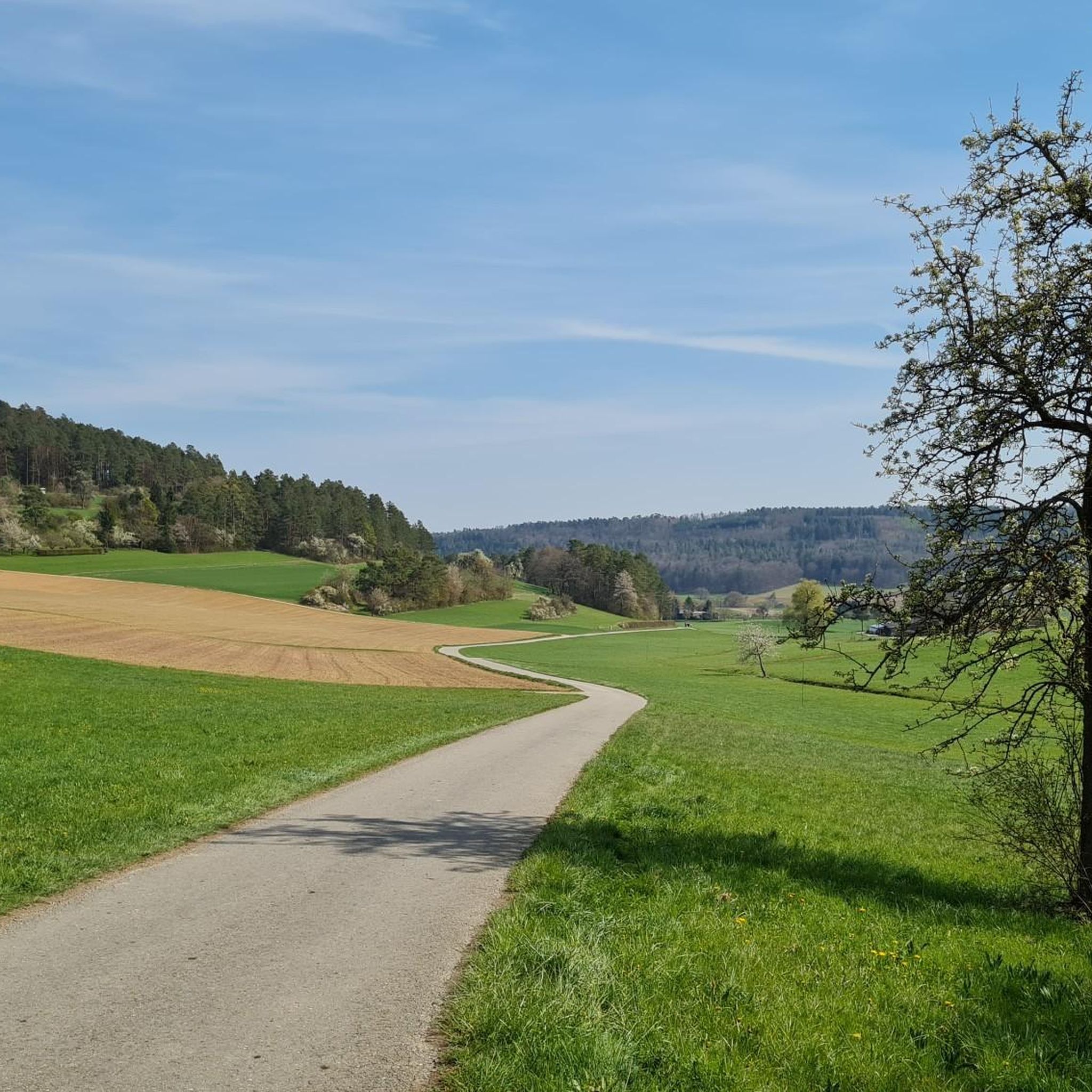
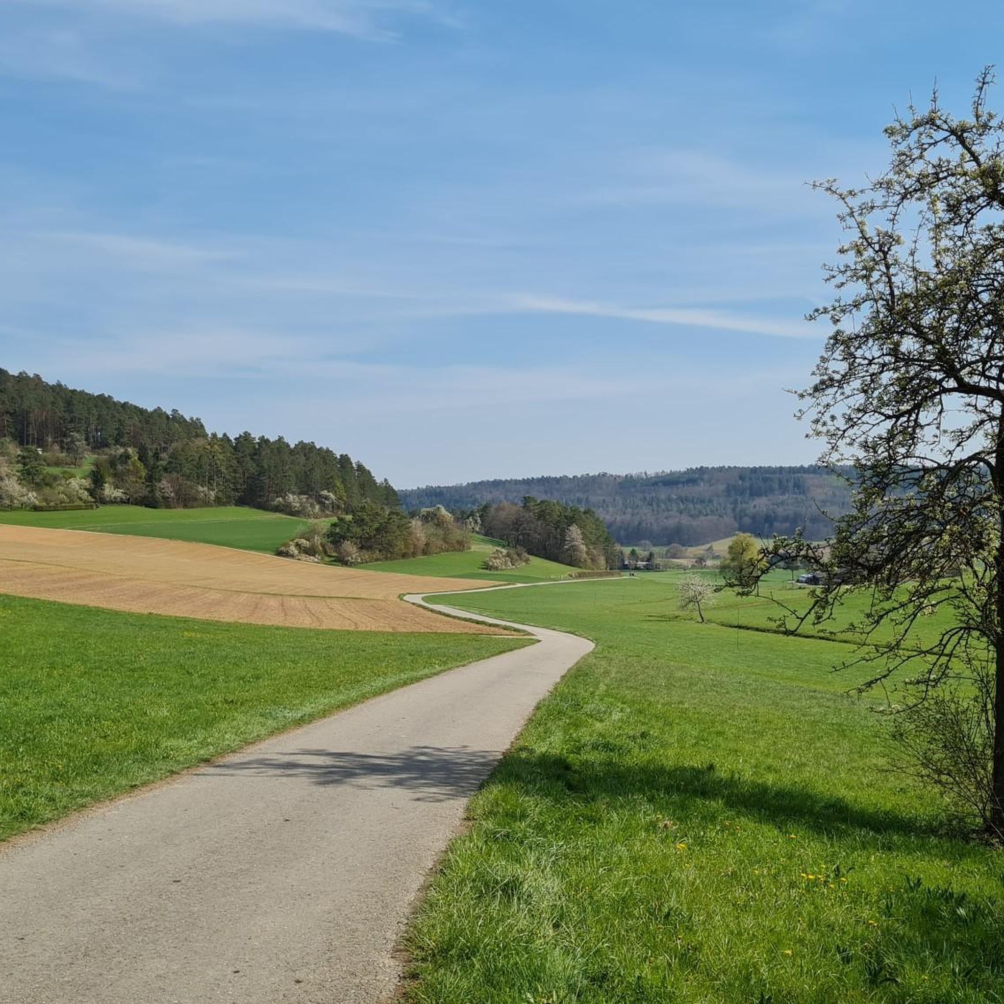
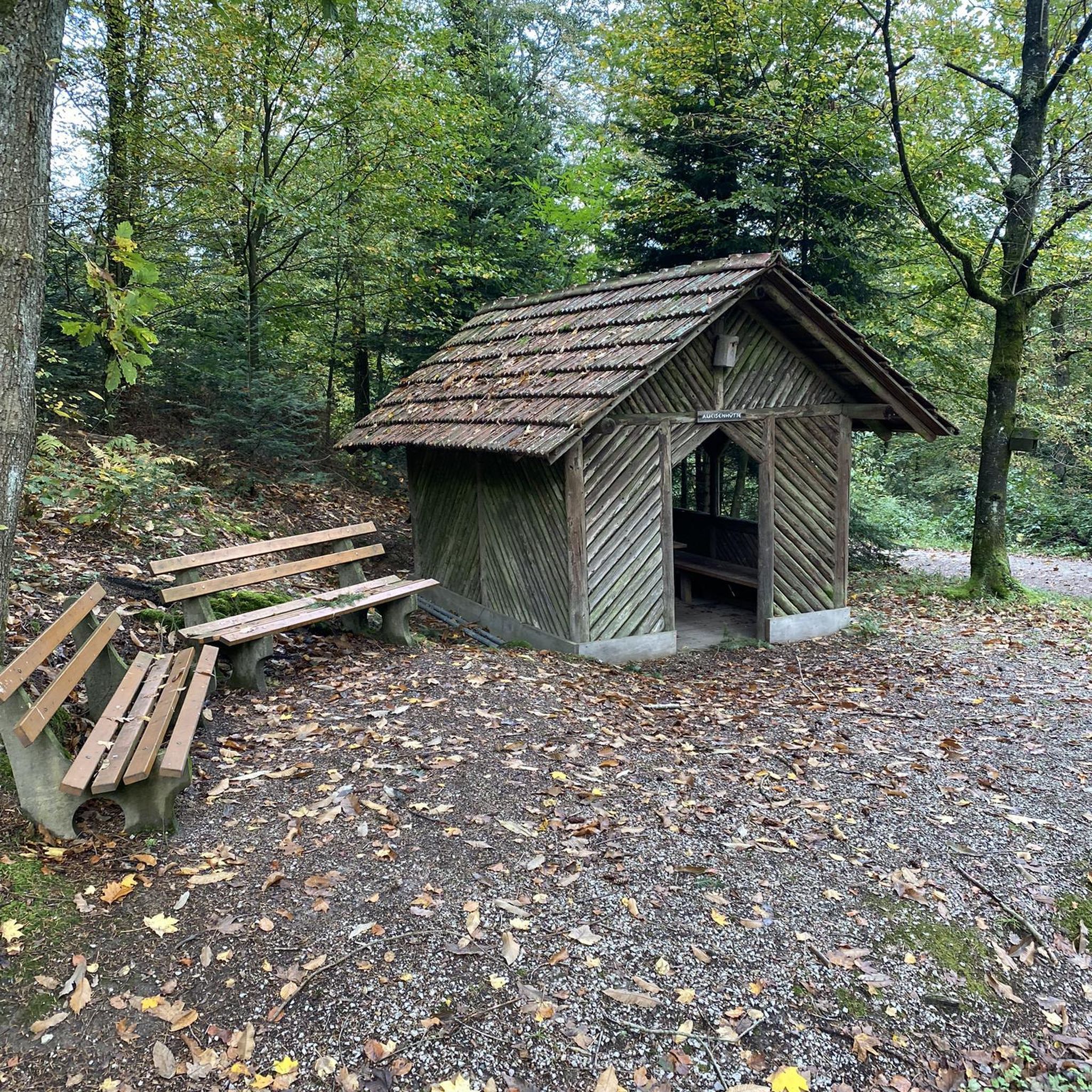
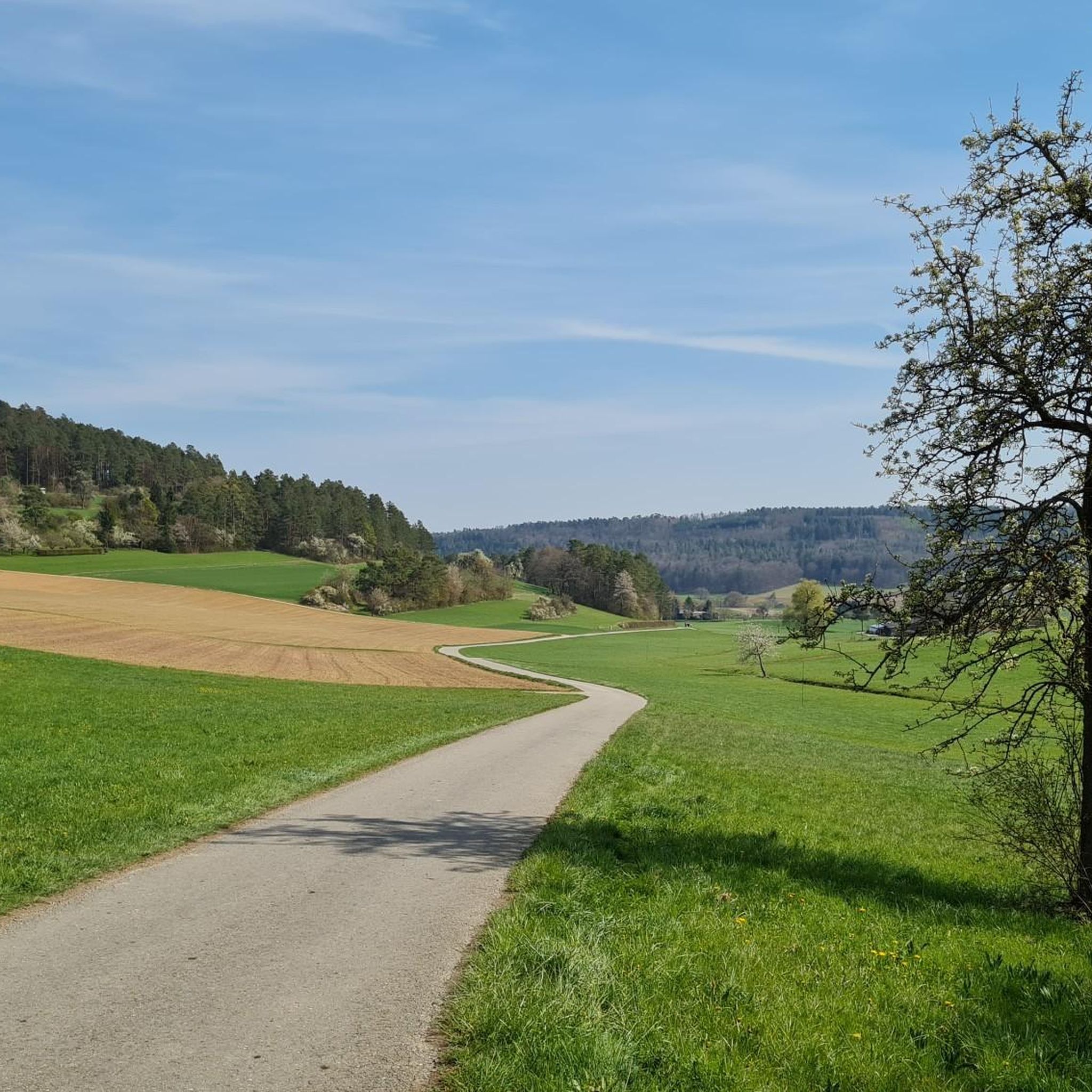
Tips from the Community

An interesting and exciting look back into the history of this region.
0
0

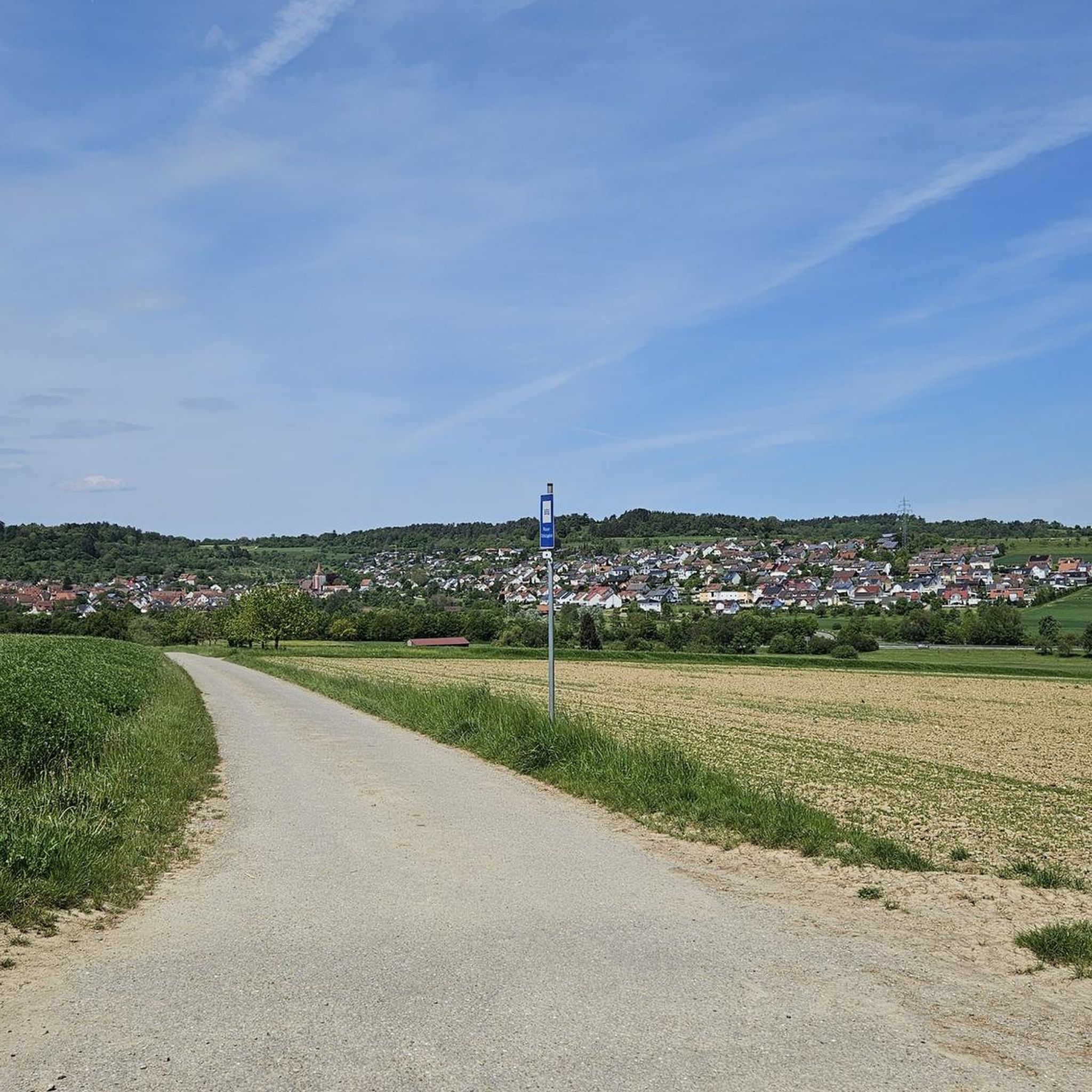
Beautiful path to the Hörnle with a view
0
0


Caution: there is currently a lot of dirt on the cycle path from Simmozheim to Weil der Stadt, especially in the area of the Aussiedlerhof near the salt meadows.
0
0

Large park and rest area with barbecue facilities and information board about the nature reserve
4
0

Hiking boards with information and trails in the Hörnle and Geißberg nature reserves, as well as the Veigelesweg, which runs around Simmozheim.
6
0

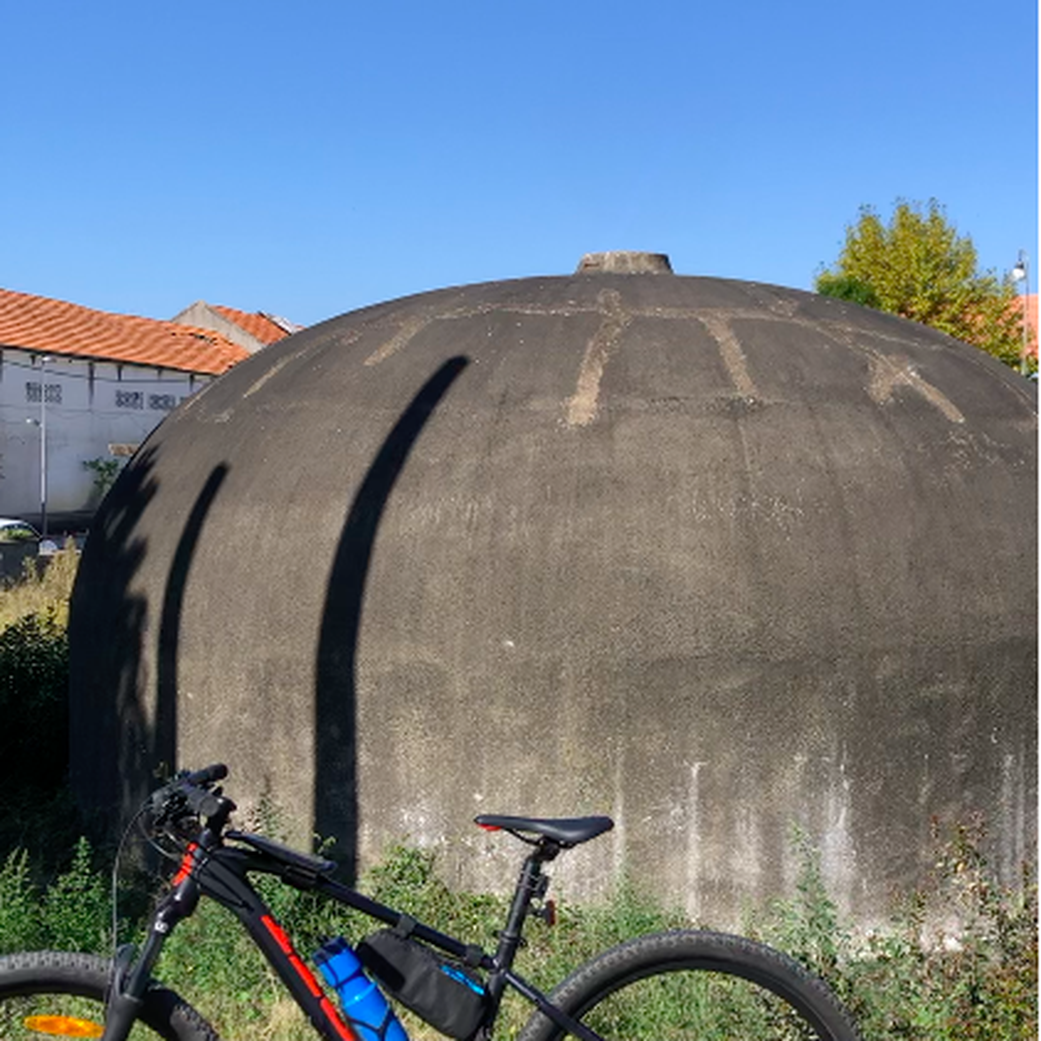
Or what do you call it when a stone lies on a mushroom?
0
0
A station on the Keppiweg trail offers the opportunity to peek into a woodpecker's hole. Next to it is an information panel about the woodpeckers' habitat and behavior.
6
0
Frequently Asked Questions
How many running routes are available around Simmozheim?
Simmozheim offers a diverse network of over 20 running routes, catering to various fitness levels. These trails wind through the picturesque Northern Black Forest, featuring rolling hills, deep forests, and scenic river valleys.
Are there any easy running routes suitable for beginners in Simmozheim?
Yes, Simmozheim provides options for all abilities. While most routes are moderate, there is at least one easy trail, and several moderate ones are relatively short and manageable for beginners. For instance, the Hörnle and Geißberg – Gäurandweg loop from Simmozheim is a moderate 3.4-mile path that offers a great introduction to the region's landscapes.
What are the typical landscapes and natural features I'll encounter on a run in Simmozheim?
Running in Simmozheim means immersing yourself in the diverse scenery of the Northern Black Forest. You'll experience lush forests, gently rolling hills, and significant nature reserves like Hörnle and Geißberg, which feature rich structured landscapes with orchards, meadows, and juniper heaths. Trails also follow the Würm and Nagold rivers, offering tranquil waterside views.
Are there any circular running routes around Simmozheim?
Yes, many of the running routes in Simmozheim are circular, allowing you to start and end at the same point. Examples include the popular Raven Tower – Würm Footbridge loop from Simmozheim, which is 8.4 miles long, and the shorter Pine Bench loop from Simmozheim, at 3.6 miles.
Are there any viewpoints or interesting landmarks along the running trails?
Absolutely! The region is rich in natural beauty and points of interest. While running, you might pass by highlights such as the Würmtalpass or the Egg Pass. The 'Hohloh' lookout point, accessible via a forest hike, also offers impressive panoramic views over the Nagold valley, rewarding runners with stunning vistas.
What do other runners enjoy most about the trails in Simmozheim?
The running trails around Simmozheim are highly rated by the komoot community, with an average score of 4.5 stars from over 15 reviews. Runners frequently praise the varied terrain, from challenging inclines to relaxed paths, and the beautiful, tranquil experience offered by the deep forests and nature reserves like Hörnle and Geißberg.
Are the running routes in Simmozheim suitable for families?
Many of Simmozheim's trails, especially the shorter and less challenging ones, can be enjoyed by families. The varied terrain and natural beauty provide an engaging outdoor experience. Consider routes that are described as 'easy' or 'moderate' with shorter distances, such as the Hörnle and Geißberg – Gäurandweg loop, which is 3.4 miles.
Can I bring my dog on the running trails in Simmozheim?
Generally, the natural trails and forest paths around Simmozheim are dog-friendly, making them ideal for running with your canine companion. However, always ensure your dog is under control, especially in nature reserves like Hörnle and Geißberg, and be mindful of local regulations regarding leashes and waste disposal.
What is the best time of year for running in Simmozheim?
The best seasons for outdoor activities, including running, in Simmozheim are generally spring and autumn. During these times, the natural surroundings are particularly vibrant, with blooming flowers in spring or the colorful deciduous forests in autumn, offering a visually stunning backdrop for your run.
Are there any cafes or places to eat near the running routes in Simmozheim?
While specific cafes directly on the trails are not always common, Simmozheim and its surrounding areas offer options for refreshments. You might find places like Kraxlalm Experience Dining or various huts and rest areas such as First Harthäusle with rest area, which can be found near some routes or in the village itself.
Where can I park when accessing the running trails in Simmozheim?
Simmozheim is well-equipped for visitors, and you can typically find parking options within the village or at designated trailheads. Specific parking information is often available on individual route pages on komoot, helping you plan your starting point conveniently.
How long are the running trails around Simmozheim?
The running trails in Simmozheim vary in length to suit different preferences. You can find shorter routes like the Hörnle and Geißberg – Gäurandweg loop at 3.4 miles (5.4 km), or longer options such as the Raven Tower – Würm Footbridge loop, which spans 8.4 miles (13.5 km).
Most popular routes around Simmozheim
Most popular attractions around Simmozheim

Get inspired with the komoot mobile app


Explore more
Browse the best Running Trails & Routes in other regions.
