The best walks and hikes around Tully
3.7
(6)
117
hikers
15
hikes
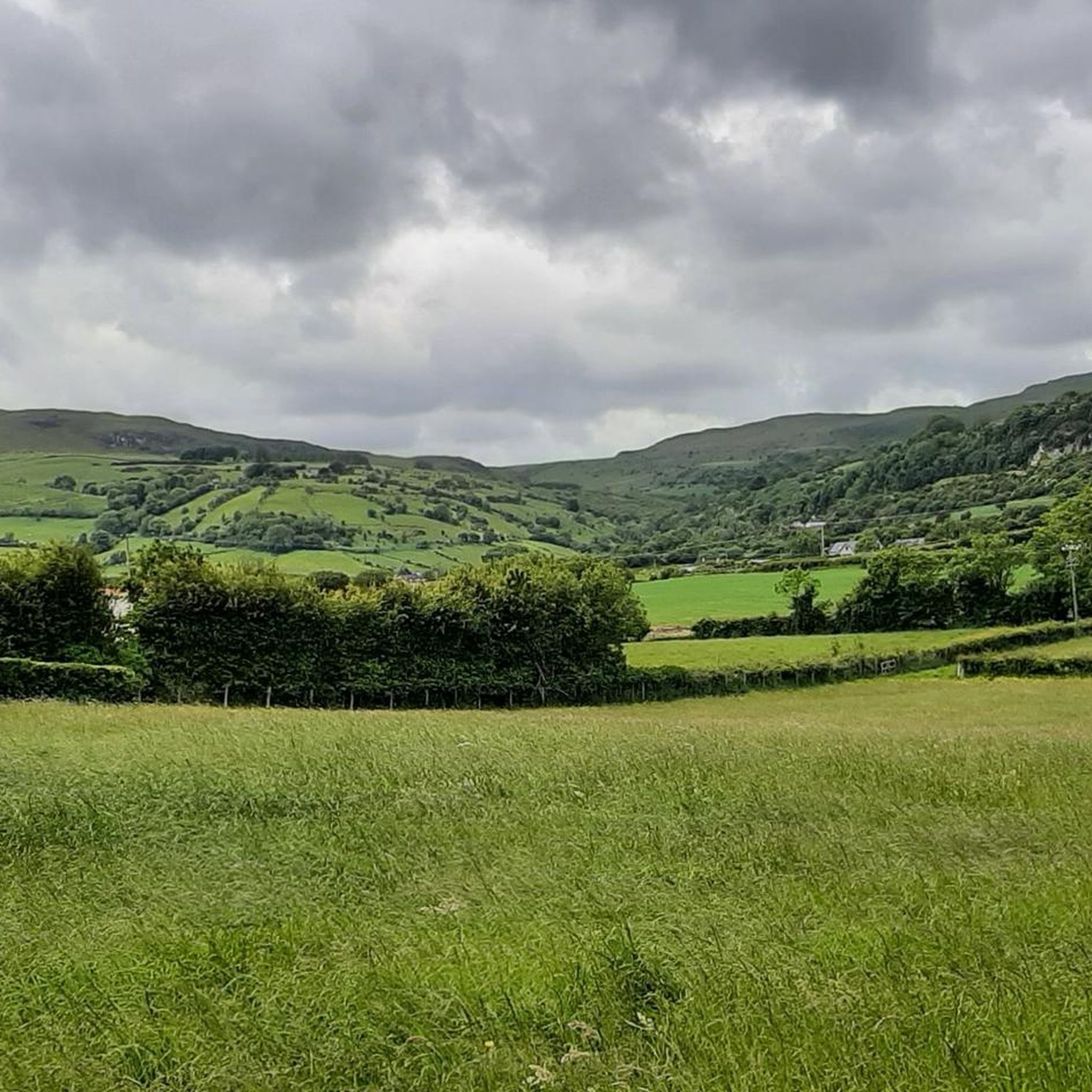
Hikes around Tully explore a landscape of gentle riverbanks, forest paths, and rolling farmland. The region is defined by features like the River Braid and the Devenagh Burn, offering mostly flat or low-elevation routes. These trails are suitable for walkers looking for accessible paths through pastoral and wooded scenery.
Best hiking trails around Tully
- The most popular hiking route is Forest Path loop from Burnside, a 6.9 mile (11.2 km) trail that takes about 3 hours 6 minutes to…
Last updated: June 25, 2026
5.0
(4)
30
hikers
6.62km
01:42
30m
30m
Easy hike. Great for any fitness level. Easily-accessible paths. Suitable for all skill levels.
9
hikers
11.2km
03:07
210m
210m
Moderate hike. Good fitness required. Easily-accessible paths. Suitable for all skill levels.

Sign up for free
8
hikers
4.73km
01:12
10m
10m
Easy hike. Great for any fitness level. Easily-accessible paths. Suitable for all skill levels.
4
hikers
4.88km
01:17
50m
50m
Easy hike. Great for any fitness level. Easily-accessible paths. Suitable for all skill levels.
5.0
(1)
3
hikers
9.05km
02:21
60m
60m
Moderate hike. Good fitness required. Easily-accessible paths. Suitable for all skill levels.
Get access to more routes and recommendations from other explorers.
Sign up for free
Already have an account?
Our route recommendations are based on thousands of hikes, rides, and runs completed by other people on komoot.
Start today with a free account
Your next adventure awaits.
Login or Signup
Popular around Tully

Frequently Asked Questions
What kind of hiking terrain can I expect around Tully?
The hiking around Tully is characterized by gentle, low-elevation landscapes. You'll mostly find yourself on paths that follow riverbanks, like the River Braid and Devenagh Burn, or wind through peaceful woodlands and rolling farmland. The trails are generally well-defined and not technically demanding.
Are there any challenging or difficult hikes in this area?
No, the trails around Tully are primarily rated as easy or moderate. The area is best suited for walkers looking for pleasant, accessible routes rather than strenuous mountain climbs. The most challenging option available is the Forest Path loop from Burnside, which involves some moderate elevation gain over its 11 km length.
Can I bring my dog on the trails?
Many trails that pass through open farmland and public paths may be suitable for dogs, but they must be kept on a lead at all times. This is especially important as you will likely cross fields with livestock. Always be mindful of local signage and respect private property.
Are there any good circular walks available?
Yes, the region has several enjoyable circular routes. A great option is the Galgorm Castle loop from Galgorm, which is a relatively flat walk of about 5 km. These loops allow you to start and finish in the same place without needing to retrace your steps.
What are the best options for a short, easy walk?
For a short and very flat walk, the River Braid loop from Broughshane is an excellent choice. It's under 5 km and follows the scenic riverbank, making it perfect for a relaxed stroll that takes just over an hour.
Are the trails suitable for families with children?
Absolutely. The majority of the trails are flat and easy, making them ideal for a family outing. The riverside paths are particularly good for keeping children engaged. Consider a route like the Devenagh Burn Riverbank loop from Ballykeel for a gentle walk through fields and along the water.
How many hiking trails are there in the Tully area?
You can find over 15 distinct hiking routes around Tully on komoot. The network is composed of 11 easy walks and 5 moderate trails, offering a good selection for different preferences.
What should I pack for a hike in Tully?
Even for shorter walks, it's wise to wear sturdy, waterproof footwear as paths along the riverbanks and through fields can be muddy. The weather can change quickly, so bringing a waterproof jacket is recommended. Also, carry water and some snacks, especially for the longer moderate routes.
How do other hikers rate the trails around Tully?
The komoot community has rated the routes with an average of 3.0 stars. While it's a quieter, less-reviewed area, over 100 hikers have explored the region, enjoying the peaceful riverside and woodland scenery.
Are there any specific landmarks or viewpoints to look for?
The main attractions on these hikes are the natural features themselves. The routes are designed to highlight the beauty of the River Braid and the Devenagh Burn. On some trails, you may also pass by local points of interest like Galgorm Castle, which adds a historical element to your walk.
Is it possible to get to the trailheads using public transport?
Some trailheads, particularly those starting in or near villages like Broughshane or Galgorm, may be accessible via local bus services. However, for maximum flexibility in reaching the various starting points, travelling by car is generally more convenient. Always check local bus schedules in advance as services can be infrequent.
Most popular routes around Tully

Get inspired with the komoot mobile app


Explore more
Browse the best Hikes in other regions.
