The best running trails around Ottersweier
4.5
(36)
611
runners
55
runs
Jogging routes around Ottersweier offer diverse landscapes for outdoor activity. The region is characterized by its proximity to the Northern Black Forest, featuring wooded hills and extensive forest areas. Vineyards stretch along the hills, providing unique running paths, while the Murg River banks offer pleasant routes through green meadows. This varied terrain ensures options for different fitness levels.
Best jogging routes around Ottersweier
- The most popular jogging route is Kleiner Sulzbach loop from Zell, a 6.4 miles (10.3 km)…
Last updated: August 23, 2026
3.5
(2)
48
runners
10.3km
01:04
10m
10m
Moderate run. Good fitness required. Mostly paved surfaces. Suitable for all skill levels.
5.0
(5)
28
runners
11.6km
01:12
10m
10m
Moderate run. Good fitness required. Mostly paved surfaces. Suitable for all skill levels.

Sign up for free
19
runners
5.90km
00:37
20m
20m
Moderate run. Good fitness required. Mostly paved surfaces. Suitable for all skill levels.
14
runners
Hard run. Very good fitness required. Mostly paved surfaces. Suitable for all skill levels.
5.0
(1)
14
runners
5.23km
00:33
70m
70m
Moderate run. Good fitness required. Mostly paved surfaces. Suitable for all skill levels.
Get access to more routes and recommendations from other explorers.
Sign up for free
Already have an account?
Our route recommendations are based on thousands of hikes, rides, and runs completed by other people on komoot.
Start today with a free account
Your next adventure awaits.
Login or Signup
Popular around Ottersweier
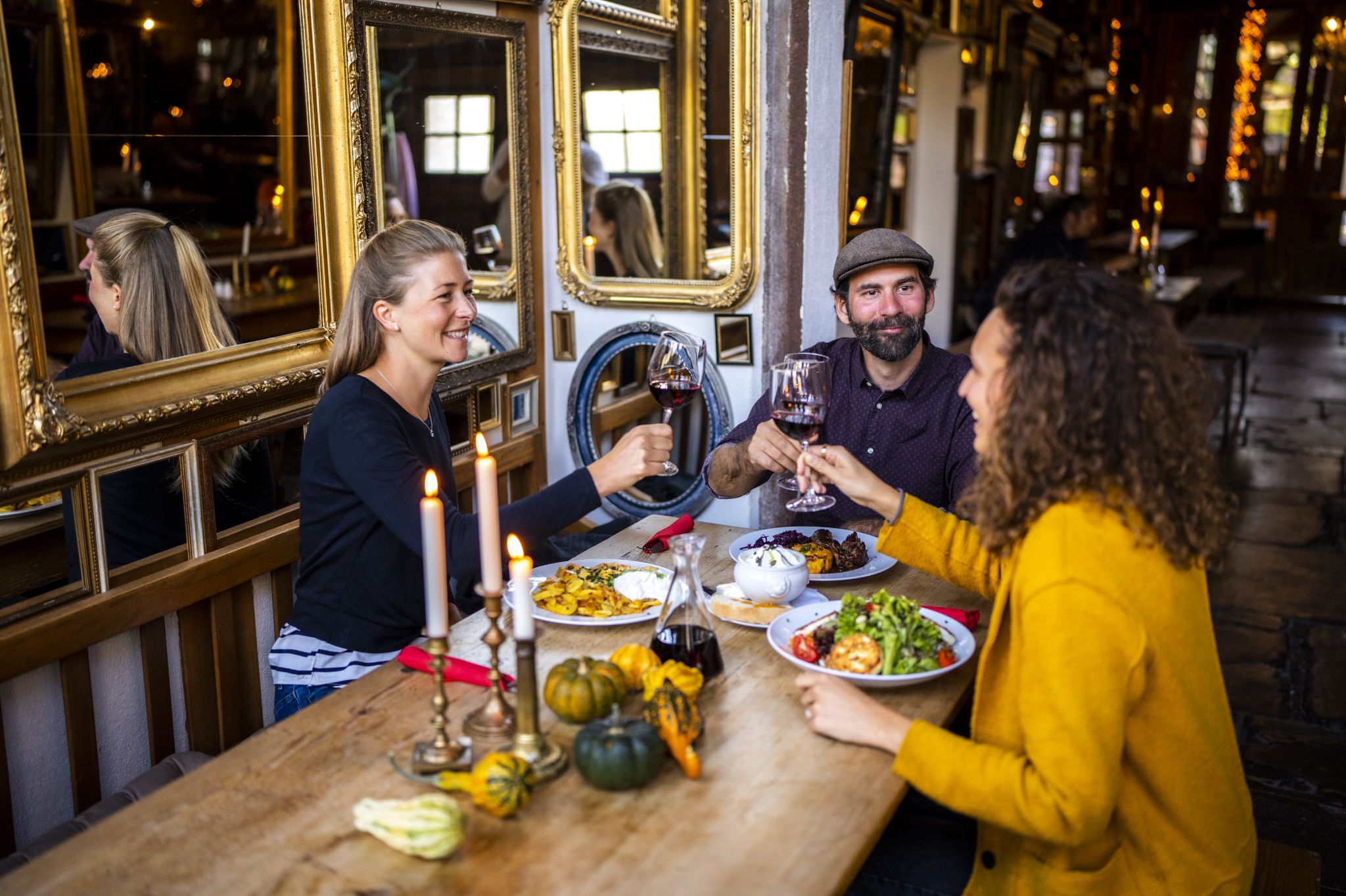
Hikes to seasonal taverns along the Baden Wine Route in Germany
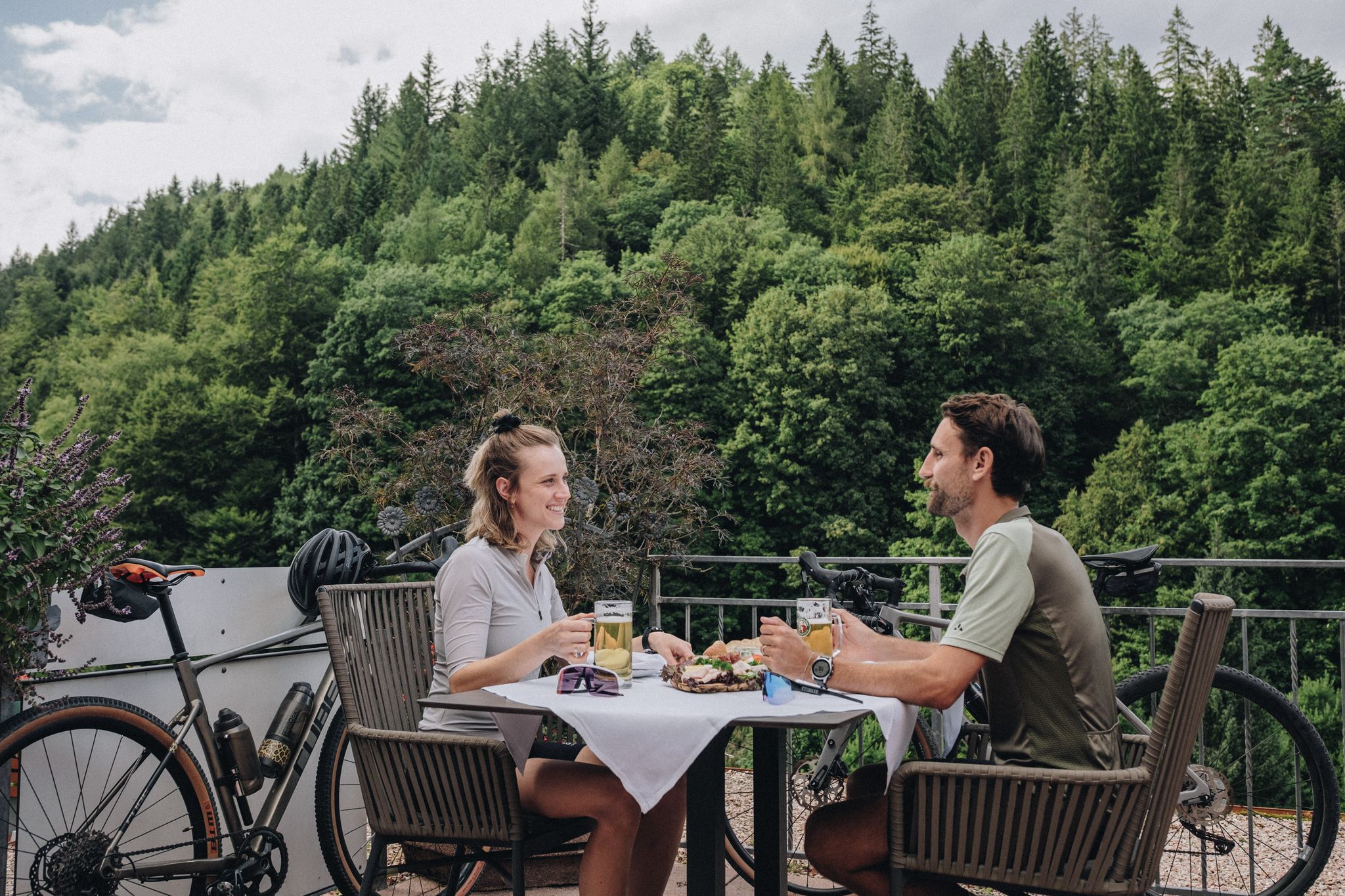
Schlemmen, radeln und entdecken – Bike und Genuss im Schwarzwald
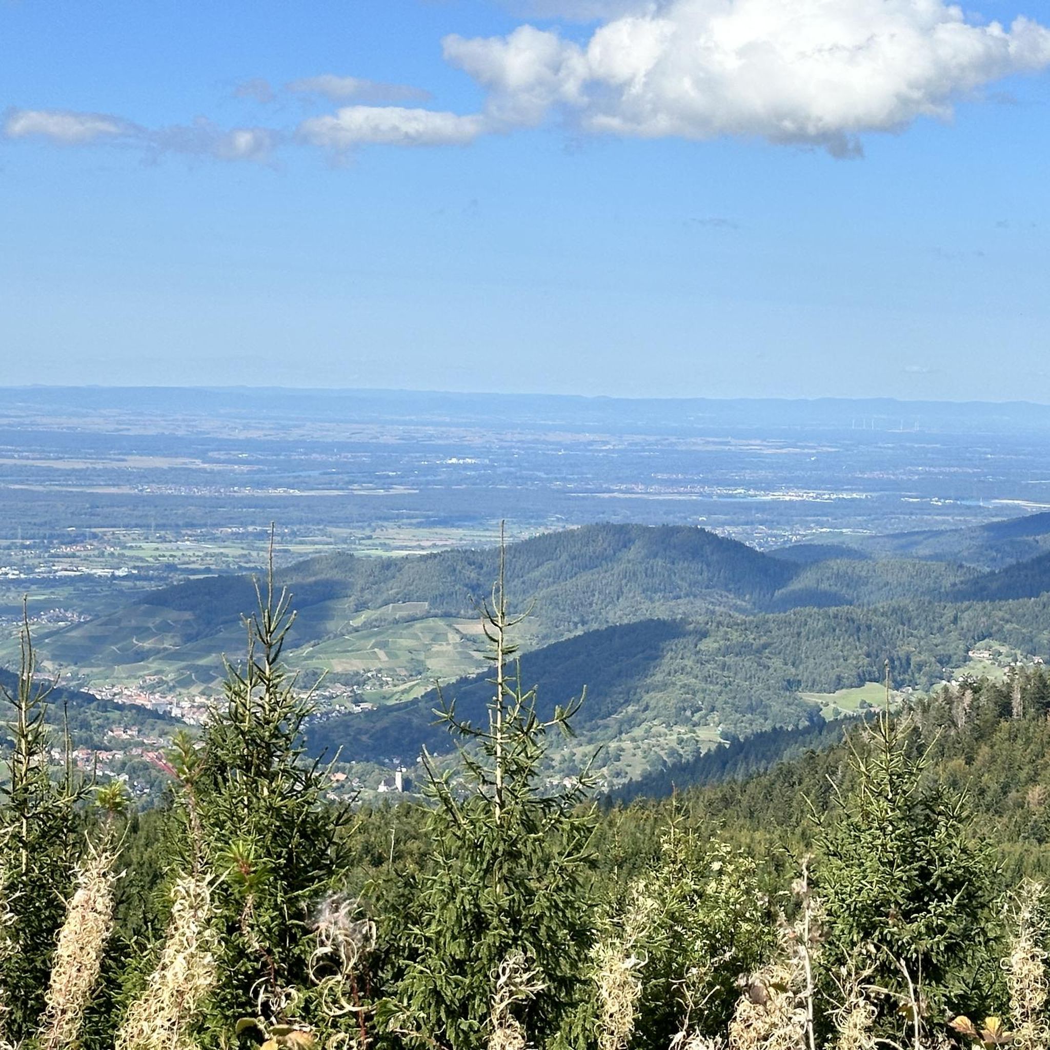
Cycling around Ottersweier
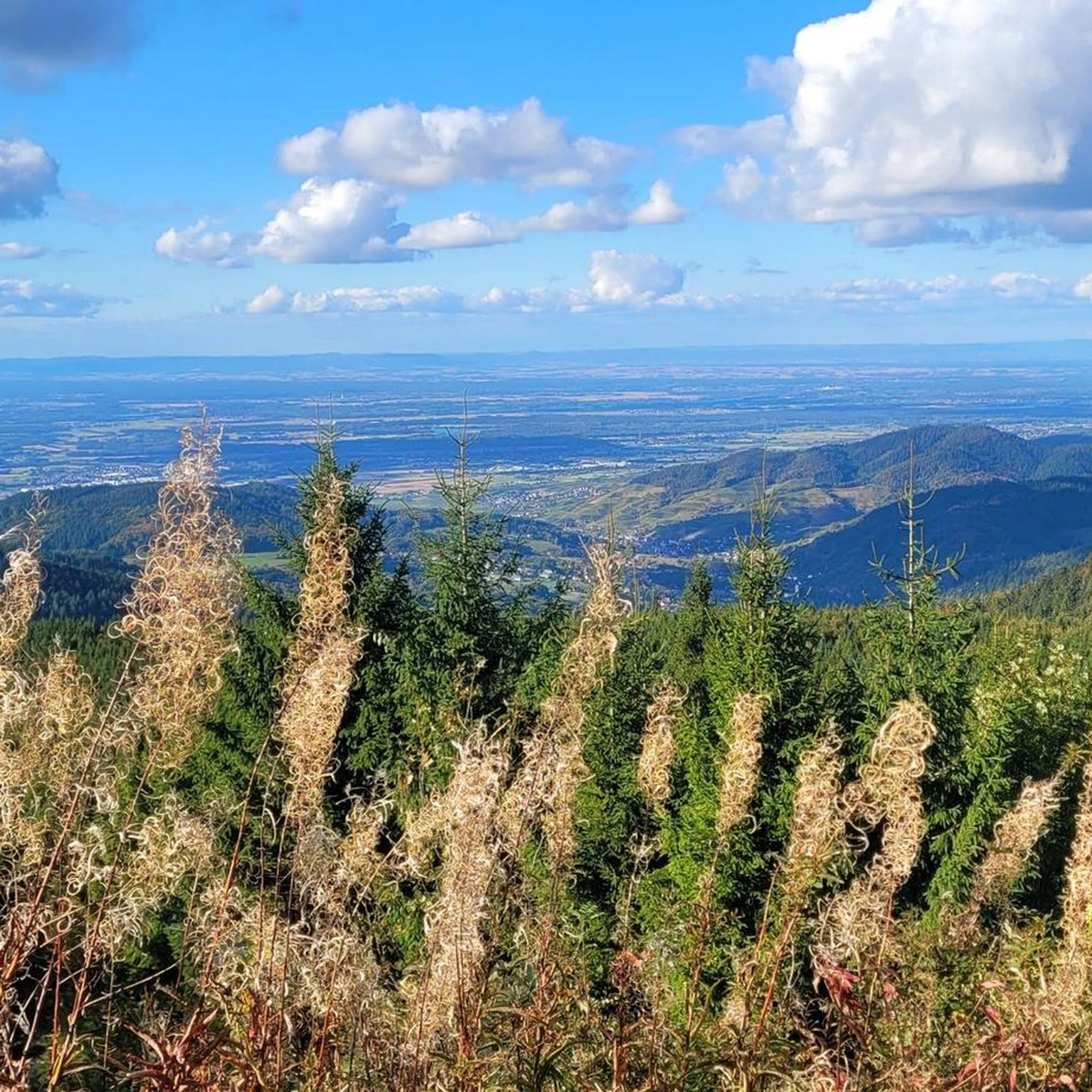
Hiking around Ottersweier
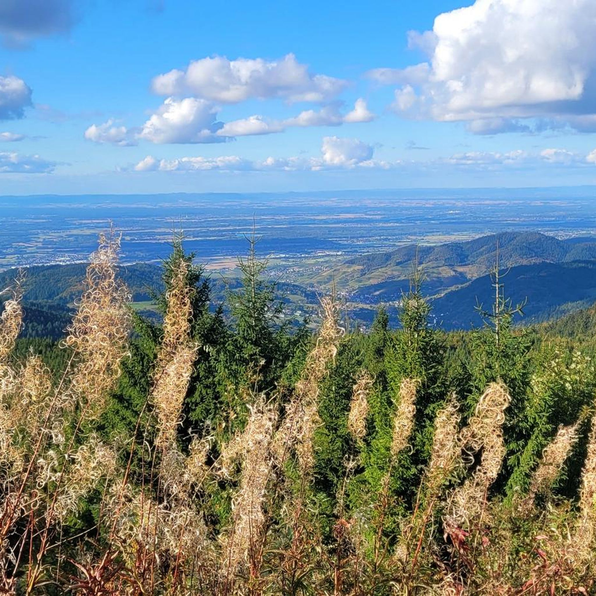
Road Cycling Routes around Ottersweier

Gravel biking around Ottersweier
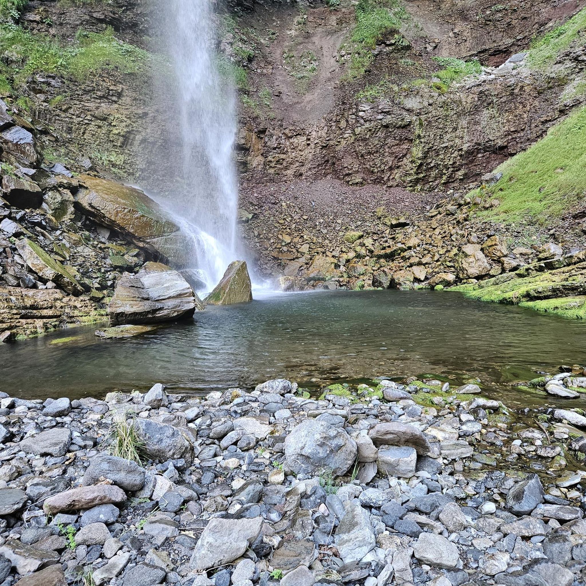
Mountain Hikes around Ottersweier
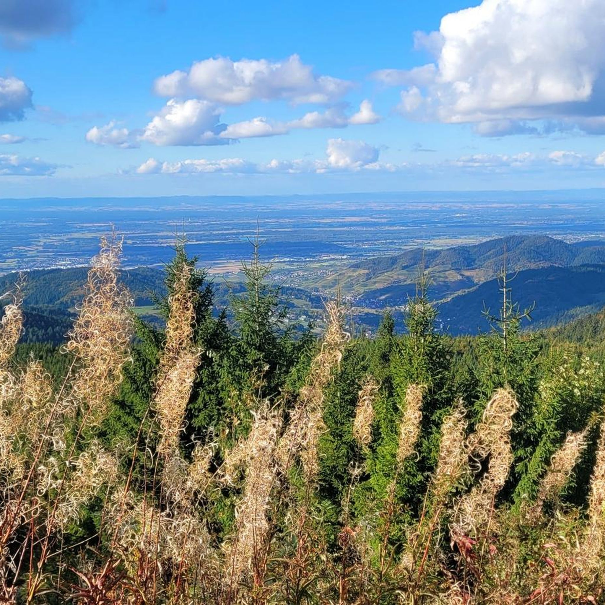
MTB Trails around Ottersweier


Tips from the Community

Unfortunately open only Tuesday, Friday and Saturday. But always worth a detour.
0
0

Open daily from spring. On Saturdays open until 4 p.m. With a café. Delicious small dishes and a great cake selection. Everything super fresh.
1
0

Beautiful nature reserve, many easy hikes possible
0
0

Here you can see a castle and the mountains of the Northern Black Forest. This view is possible from some places. The place directly on the busy road is not nice.
1
0

If you want peace and quiet, you have to get off the road.
1
0

Little Sulzbach. Flows further north into the Rhine.
5
0
Rules for staying in the nature reserve.
6
0
Map and information about the Waldhägenich nature reserve.
7
0
Frequently Asked Questions
How many running routes can I find around Ottersweier?
Ottersweier offers a wide selection of running routes, with over 50 trails available for you to explore. These routes cater to various fitness levels, from easy loops to more challenging paths through the diverse landscape.
What kind of terrain can I expect on the running trails in Ottersweier?
The running trails in Ottersweier feature a diverse landscape. You'll find routes winding through picturesque vineyards, dense forests, and along the scenic banks of the Murg River. The region's proximity to the Northern Black Forest also means you can expect characteristic wooded hills and varied elevations, offering both gentle and more demanding sections.
Are there any easy running routes suitable for beginners in Ottersweier?
Yes, Ottersweier has several easy running routes perfect for beginners or those looking for a relaxed jog. For instance, the Running loop from Ottersweier is an easy 3.0-mile (4.9 km) trail that takes you through local forests and open areas.
What do other runners say about the trails in Ottersweier?
The running routes in Ottersweier are highly regarded by the komoot community, boasting an average rating of 4.6 stars from over 30 reviews. More than 500 runners have used komoot to explore the area, often praising the varied terrain and scenic beauty.
Are there any running routes in Ottersweier that are suitable for families or strollers?
Yes, many of the trails in Ottersweier, especially those with less elevation gain and smoother surfaces, can be suitable for families or those with strollers. Routes that stick to wider paths through vineyards or along the Murg River are generally good options. Always check the specific route details on komoot for terrain information before heading out.
Can I bring my dog on the running trails around Ottersweier?
Generally, dogs are welcome on many of the running trails in Ottersweier, especially in the extensive forest areas. It's always advisable to keep your dog on a leash, particularly in nature reserves or areas with wildlife, and to be mindful of other trail users. Some routes, like the Dog Waste Bin at Waldhägenich loop from Ottersweier, even highlight amenities for dog owners.
Are there any circular running routes available in Ottersweier?
Yes, Ottersweier offers several excellent circular running routes. Popular options include the Kleiner Sulzbach loop from Zell, a moderate 6.4-mile (10.3 km) trail, and the Waldhägenich loop from Ottersweier, which is a moderate 7.2-mile (11.6 km) path offering varied terrain and scenic views.
What scenic viewpoints or landmarks can I discover along the running routes?
While jogging in Ottersweier, you can enjoy magnificent views over the Rhine valley to the Vosges mountains, especially from higher points in the forest areas. The region's vineyards also provide breathtaking vistas. For specific landmarks, consider routes that might pass near the Bismarck Tower on Hornisgrinde for panoramic views, or the Forest Sculpture Trail near Hundseck for an artistic touch.
Are there any waterfalls near the running routes in Ottersweier?
Yes, the region around Ottersweier is home to several beautiful waterfalls that can be incorporated into longer running adventures or visited separately. Notable examples include the Gaishöll Waterfalls and the Edelfrauengrab Waterfalls, both offering stunning natural scenery.
Where can I park when accessing running trails in Ottersweier?
Parking options are generally available near the starting points of many running trails in Ottersweier. For specific routes, it's best to check the individual tour details on komoot, as they often provide information on designated parking areas or suitable roadside spots close to the trailhead.
Are there any cafes or places to rest near the running routes in Ottersweier?
Ottersweier and its surrounding villages offer various cafes and guesthouses where you can refuel or relax after your run. While specific establishments might not be directly on every trail, you'll find options within easy reach in the town center or nearby communities. It's a good idea to plan your route to pass through or near these areas if you intend to stop.
What is the best time of year for running in Ottersweier?
Ottersweier offers excellent running conditions throughout much of the year. Spring and autumn are particularly pleasant with mild temperatures and vibrant scenery. Summer is also great, especially for early morning or late evening runs to avoid the midday heat. Even in winter, many trails remain accessible, offering a serene experience through the frosted landscapes, though some higher elevation paths might require more caution.
Most popular routes around Ottersweier
Most popular attractions around Ottersweier

Get inspired with the komoot mobile app


Explore more
Browse the best Running Trails & Routes in other regions.
