The best road cycling routes around Bucknell
4.4
(119)
3,722
riders
300
rides
Road cycling around Bucknell offers diverse terrain within the scenic Susquehanna River Valley, characterized by rolling hills, riverine landscapes, and agricultural areas. The region provides a mix of flat, leisurely routes and more challenging paths with notable elevation changes. Cyclists can navigate through varied environments, from open countryside to areas near the university campus.
Best road cycling routes around Bucknell
- The most popular road cycling route is Bicester to The Cotswolds - passing Blenheim Palace, a 40.4 miles (65.1…
Last updated: July 7, 2026
4.0
(3)
25
riders
65.1km
03:02
450m
450m
Moderate road ride. Good fitness required. Some segments of this route may be unpaved and difficult to ride.
4.3
(4)
95
riders
68.2km
02:51
320m
320m
Moderate road ride. Good fitness required. Mostly well-paved surfaces and easy to ride.

Sign up for free
4.5
(10)
94
riders
36.6km
01:47
130m
140m
Easy road ride. Great for any fitness level. Mostly well-paved surfaces and easy to ride.
4.3
(6)
64
riders
35.1km
01:38
130m
130m
Easy road ride. Great for any fitness level. Mostly well-paved surfaces and easy to ride.
4.6
(9)
66
riders
Easy road ride. Great for any fitness level. Mostly well-paved surfaces and easy to ride.
Get access to more routes and recommendations from other explorers.
Sign up for free
Already have an account?
Our route recommendations are based on thousands of hikes, rides, and runs completed by other people on komoot.
Start today with a free account
Your next adventure awaits.
Login or Signup
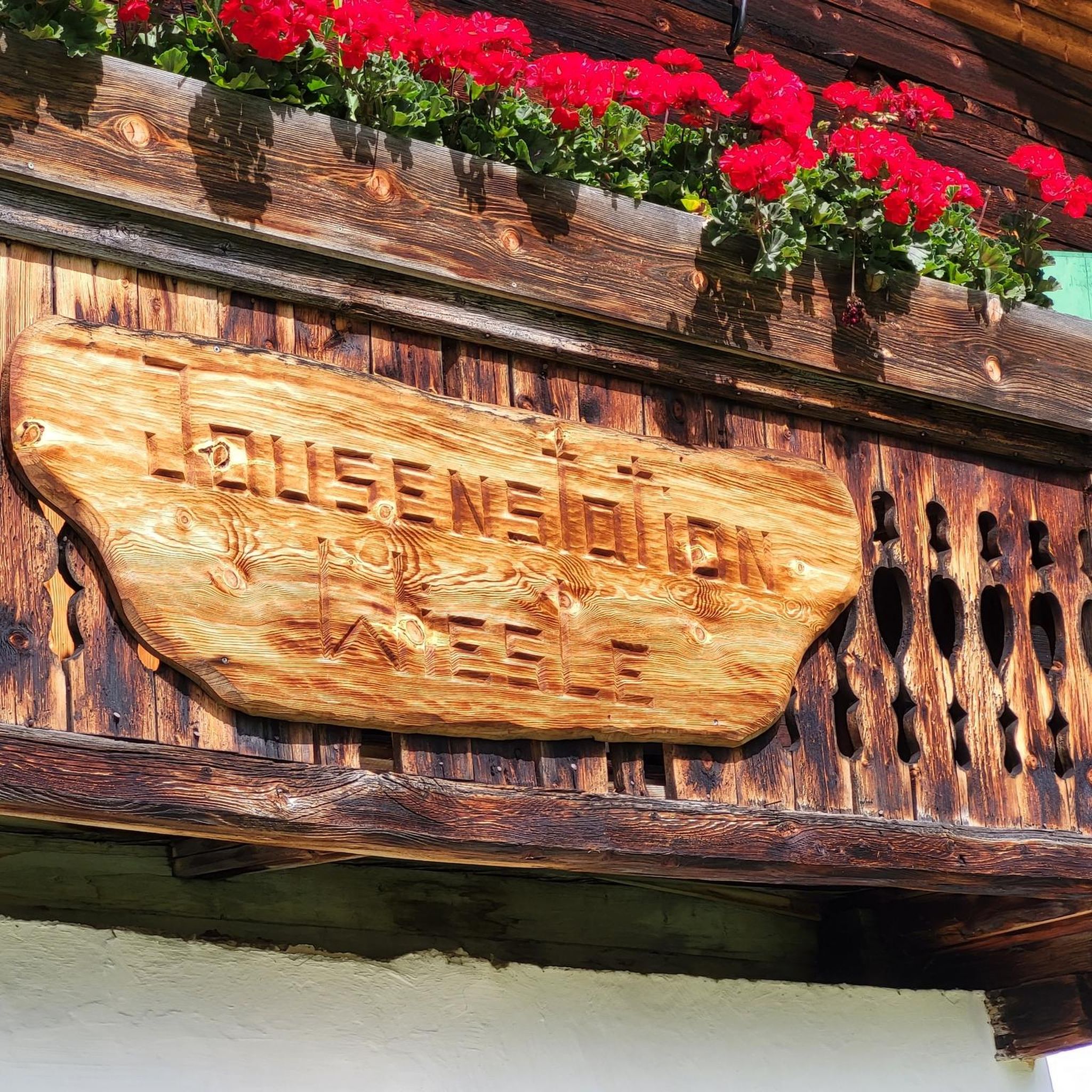

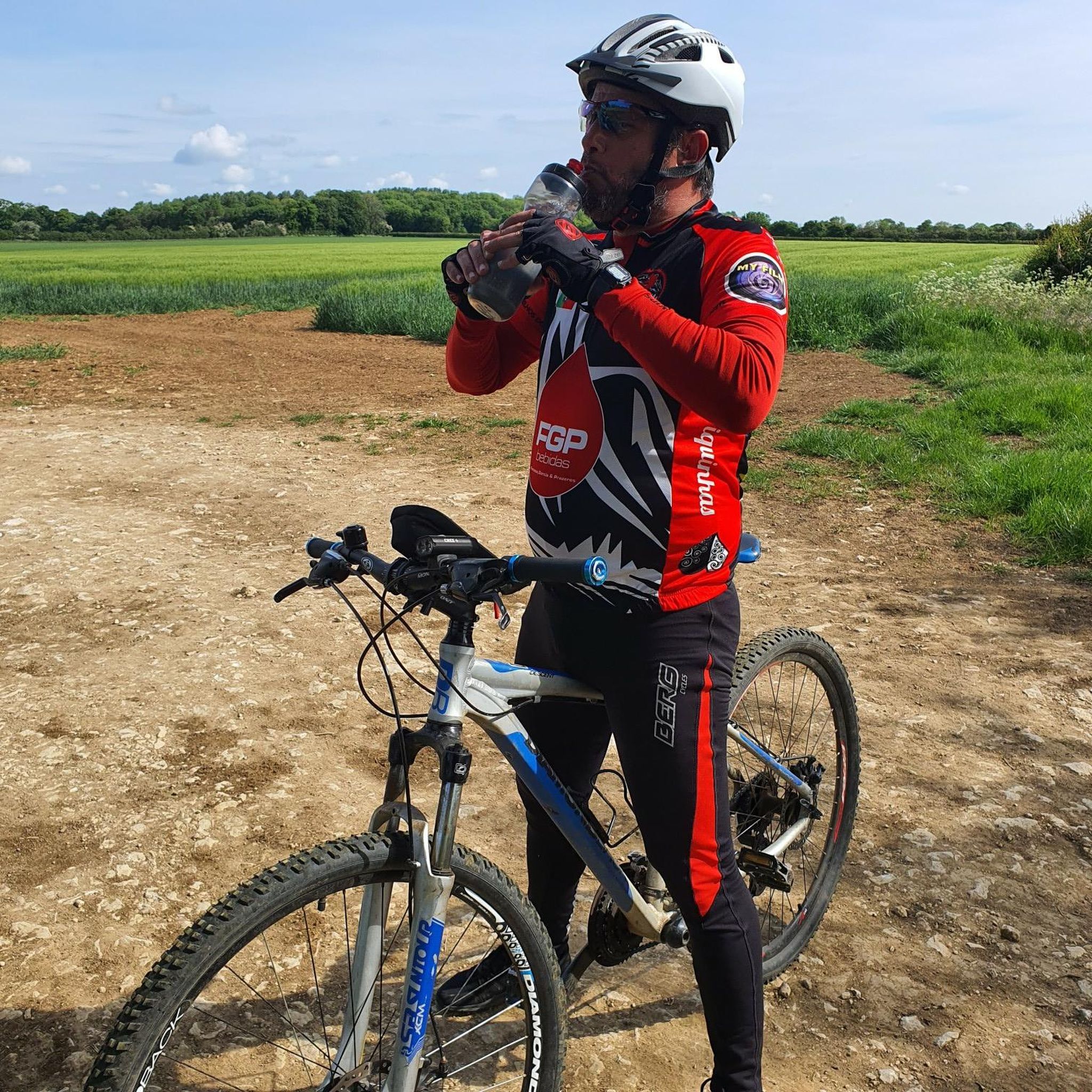

Tips from the Community

Matilda’s Coffee shop permanently closed. The pub is open.
0
0


Excellent coffee and cake stop on the NCN51 route. Does breakfast and lunch too
0
0

Now a Forge Coffee shop, great place and very friendly for cyclists too.
0
0
Very nice coffee shop that is very cyclist friendly too. Always some guys there
0
0

Turn left once you reach the clearing being carful on the path as it can get a little muddy if it’s been raining.
1
0

The Butchers Arms Fringford and Matilda's closed in Nov 2022. Unlikley to open anytime soon. Check before you go.
1
0

Matilda's Coffee Shop is attached to the Butchers Arm, Check for opening hours on on my visit it is open everyday except Sunday 8:30 to 16:30. Plenty of seating inside and outside. A coffee and cake style place
0
0
Frequently Asked Questions
How many road cycling routes are available around Bucknell?
There are over 300 road cycling routes around Bucknell, offering a wide range of options for different skill levels and preferences. These routes explore the scenic Susquehanna River Valley, featuring rolling hills, riverine landscapes, and agricultural areas.
Are there easy road cycling routes suitable for beginners or casual riders?
Yes, Bucknell offers many easy road cycling routes. For instance, the Evenley Village Green – Rural Road loop from Bicester North is an easy 22.8-mile (36.6 km) trail with a modest 442 feet (135 meters) of elevation gain. Additionally, the Buffalo Valley Rail Trail provides a relatively flat and safe route, connecting Lewisburg to Mifflinburg, perfect for a leisurely ride.
What are some challenging road cycling routes for experienced cyclists?
For those seeking a challenge, routes like the Bicester to The Cotswolds - passing Blenheim Palace cover 40.4 miles (65.1 km) with a significant 1,490 feet (454 meters) of ascent. Another option is the Tree-Lined Pathway – Straight Mile Road loop from Bicester North, a 42.4-mile (68.2 km) path with 1,059 feet (323 meters) of climbing. The region also features routes like the 'Try All by Fire road route' which spans 112 km with a substantial 1,357-meter climb.
What kind of landscapes can I expect to see while road cycling near Bucknell?
Road cycling around Bucknell takes you through diverse landscapes within the scenic Susquehanna River Valley. You'll encounter rolling hills, picturesque riverine areas, and expansive agricultural lands. Routes often pass through open countryside, charming small towns, and areas near the university campus, offering a varied visual experience.
Are there any notable landmarks or attractions along the road cycling routes?
While cycling, you can explore several points of interest. Historic covered bridges, such as the Rishel Covered Bridge and Sam Wagner Covered Bridge, offer a glimpse into the past. The region also features attractions like Holy Cross Church, Shipton-on-Cherwell, St Mary’s Church, Hampton Poyle, and the Diamond Jubilee Obelisk, Tusmore Park. The charming Historic Downtown Lewisburg, with its preserved Victorian homes, is also a pleasant area to explore.
What do other road cyclists enjoy most about road cycling in Bucknell?
The area is highly rated by the komoot community, with an average score of 4.4 stars from over 130 reviews. Reviewers often praise the varied terrain, which caters to all ability levels, from easy loops to more advanced rides with significant climbs, and the beautiful, diverse landscapes of the Susquehanna River Valley.
Are there any loop routes available for road cycling?
Yes, many road cycling routes around Bucknell are designed as loops, allowing you to start and end in the same location. Examples include the Rural Road – Tour of the Back Roads loop from Bicester North and the Tour of the Back Roads – Paved Path Through Parkland loop from Bicester North. The Bucknell Greenway also offers a 4-mile path circling the campus.
Can I find family-friendly cycling options near Bucknell?
Absolutely. The Buffalo Valley Rail Trail is an excellent family-friendly option, providing a safe, relatively flat, and scenic route connecting Lewisburg to Mifflinburg. It's perfect for all ages and passes by farm markets and ice cream stands, adding to the enjoyment.
What is the best time of year for road biking in the Bucknell area?
The region's natural beauty is best enjoyed during spring, summer, and fall. These seasons offer pleasant weather conditions for cycling, with vibrant foliage in autumn and lush greenery in spring and summer. Always check local weather forecasts before heading out.
Are there places to eat or get refreshments along the cycling routes?
Yes, especially in Lewisburg and along popular routes like the Buffalo Valley Rail Trail, you can find various options. Downtown Lewisburg offers cafes and restaurants. The Rail Trail itself passes by farm markets and ice cream stands, perfect for a mid-ride treat.
Where can I find parking for road cycling routes in Lewisburg, PA?
Lewisburg and the surrounding areas offer various parking options. For routes starting in Lewisburg, you can often find parking in the downtown area. For the Buffalo Valley Rail Trail, there are designated parking areas at trailheads in both Lewisburg and Mifflinburg.
Most popular attractions around Bucknell

Get inspired with the komoot mobile app


Explore more
Browse the best Road cycling routes in other regions.
