The best mountain hikes around Weilheim an der Teck
5.0
(4)
30
hikers
9
hikes
Mountaineering routes around Weilheim an der Teck traverse a landscape characterized by varied elevations and natural features. The region offers a mix of forested paths, open viewpoints, and geological formations typical of the Swabian Alb. These routes often lead through areas with significant elevation changes, providing a true mountaineering experience. The terrain includes both gentle ascents and more challenging climbs, making it suitable for different skill levels.
Best mountaineering routes around Weilheim an der Teck
- The most popular mountaineering route…
Last updated: October 5, 2026
5.0
(1)
3
hikers
9.83km
02:45
200m
200m
Moderate mountaineering route. Good fitness required. Easily-accessible paths. Suitable for all skill levels.
2
hikers
Moderate mountaineering route. Good fitness required. Mostly accessible paths. Sure-footedness required.

5.0
(1)
6
hikers
2.64km
00:52
130m
130m
Easy mountaineering route. Great for any fitness level. Easily-accessible paths. Suitable for all skill levels.
5
hikers
12.5km
04:06
570m
570m
Moderate mountaineering route. Good fitness required. Easily-accessible paths. Suitable for all skill levels.
1
hikers
9.53km
03:07
400m
400m
Moderate mountaineering route. Good fitness required. Easily-accessible paths. Suitable for all skill levels.
Get access to more routes and recommendations from other explorers.
Already have an account?
Our route recommendations are based on thousands of hikes, rides, and runs completed by other people on komoot.
Start today with a free account
Your next adventure awaits.
Popular around Weilheim an der Teck
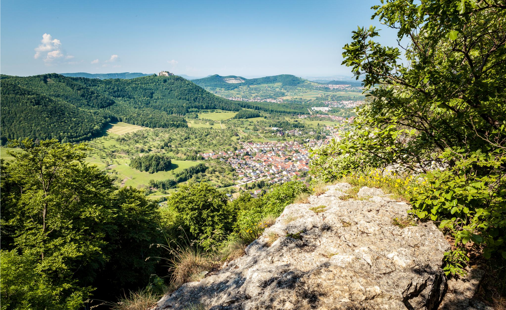
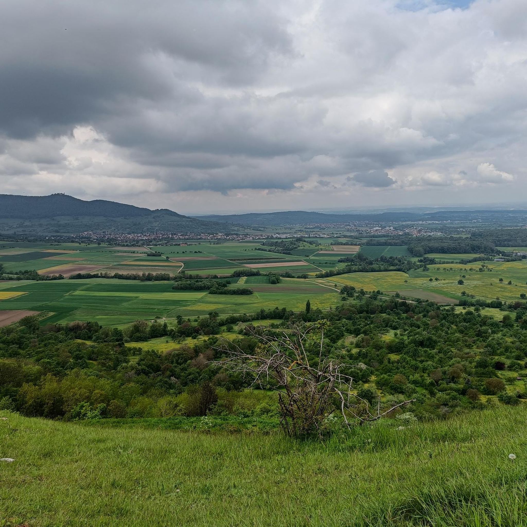
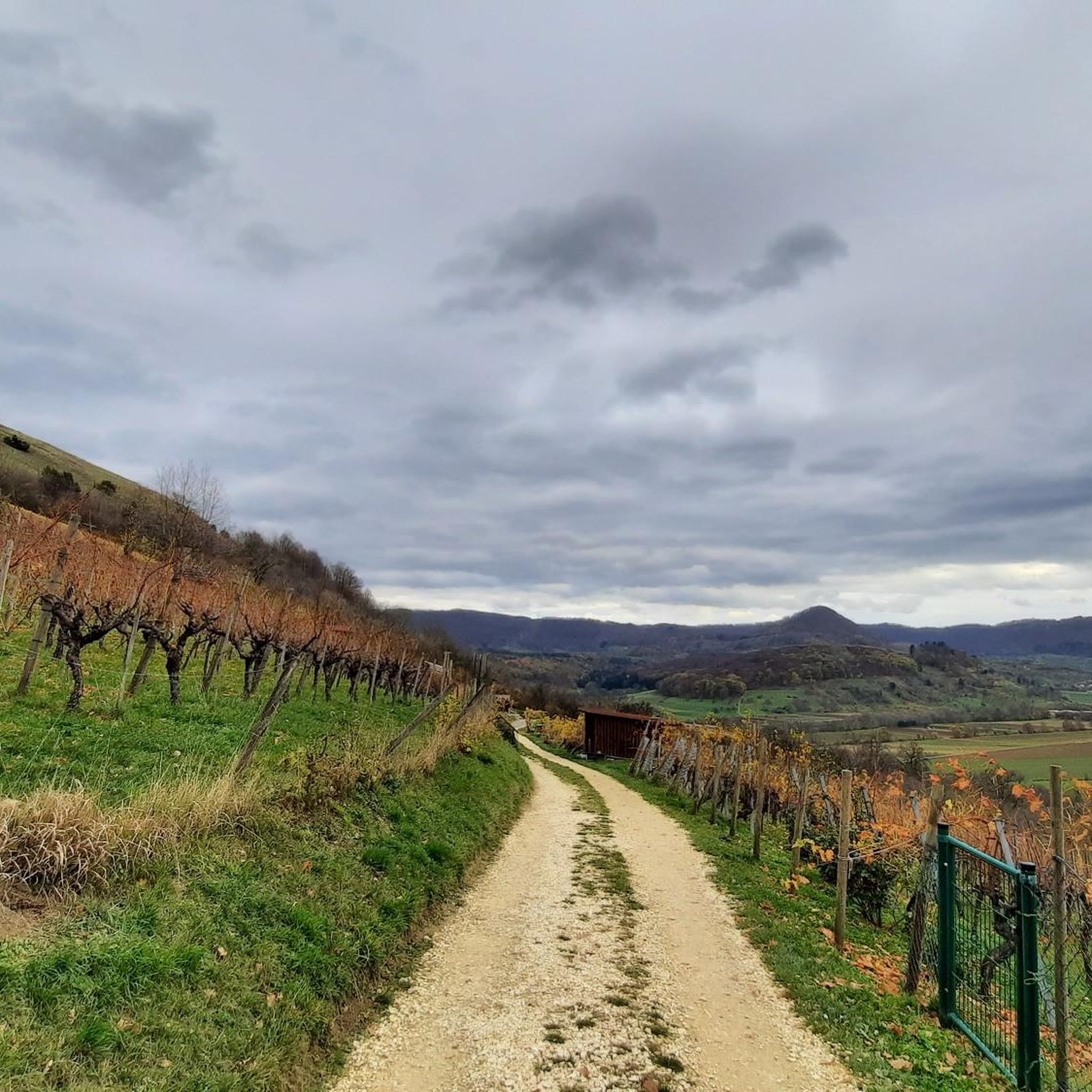
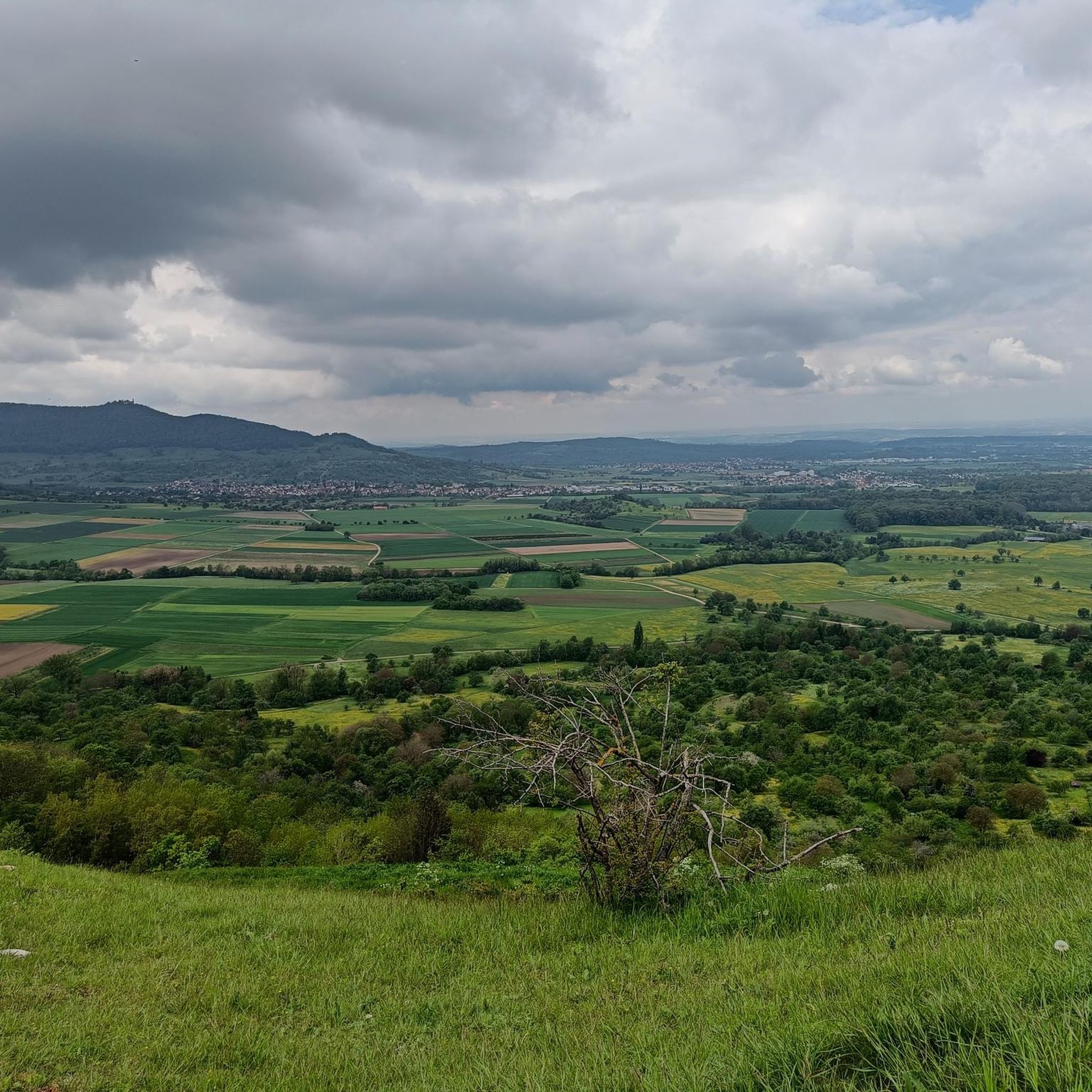
Other adventures around Weilheim an der Teck

Tips from the Community

The Graue Stein (Grey Stone) near Wiesensteig is an extraordinary collection of large limestone blocks, known for centuries as an imposing natural path and boundary marker. These boulders lie along an old hollow way, where a steep ascent from the Fils valley to the Swabian Jura plateau leads through a small rock gorge. Shortly after this bottleneck, the terrain opens up to a wide valley floor with gentle slopes, on which the mighty erratic boulders are scattered.
7
0

Beautiful cycle path with great views of Breitenstein and, opposite, Teck Castle.
0
0
Beautiful plateau with great views and opportunities for further tours.
0
0

Great view from the very well restored Rauber ruins
1
0
Viewpoint on Bissingen and a barbecue area can be found here
1
0
Short rest with a great view. Beautifully located. Great spot for further tours...
0
0

Many bridges cross the valley
0
0

The beautiful Zipfelbach Gorge is worth a visit at any time of year. The path leads over several bridges along the Zipfelbach and there is always something to discover.
4
1
Frequently Asked Questions
What are the typical difficulties and distances of mountaineering routes around Weilheim an der Teck?
The mountaineering routes in this region offer a range of experiences. You'll find a mix of moderate trails, which make up the majority, alongside some easier and more challenging options. Distances vary, with routes like the Source of the Fils – View of Neidlingen Valley loop from Wiesensteig covering about 9.8 km (6.1 miles), while shorter options like the Teckberg loop from Owen are around 2.8 km (1.7 miles).
Are there any easy mountaineering routes suitable for beginners or families?
Yes, there are routes suitable for beginners and families. The Teckberg loop from Owen is an easy 2.8 km (1.7 miles) trail with moderate elevation gain, making it a good choice for those new to mountaineering or with children. The region's varied terrain ensures there are options for different fitness levels.
Which mountaineering routes offer the best panoramic views?
Many routes in the area provide excellent views, especially those reaching higher elevations. The Source of the Fils – View of Neidlingen Valley loop from Wiesensteig is known for its panoramic vistas of the Neidlingen Valley. Additionally, routes near Teck Castle often feature stunning outlooks over the Western Swabian Alb foothills, such as the View of the Western Swabian Alb foothills from Teck Castle.
Are there circular mountaineering routes available?
Yes, many of the mountaineering routes around Weilheim an der Teck are designed as circular trails, allowing you to start and end at the same point. Examples include the Auchtert – Mörikefels loop from Randecker Maar mit Zipfelbachschlucht and the Teck Castle – Gelber Fels Viewpoint loop from Bissingen an der Teck.
Can I bring my dog on the mountaineering routes around Weilheim an der Teck?
Generally, dogs are welcome on the mountaineering routes in the Weilheim an der Teck region. It's always advisable to keep your dog on a leash, especially in forested areas or near wildlife, and to be mindful of other hikers and local regulations. Remember to bring water for your dog, particularly on longer routes.
When is the best time of year to go mountaineering in Weilheim an der Teck?
The best time for mountaineering in Weilheim an der Teck is typically from spring through autumn (April to October). During these months, the weather is generally mild, and the trails are clear. Spring offers lush greenery and blooming wildflowers, while autumn provides vibrant foliage. Summer is also popular, but be prepared for warmer temperatures.
Are there options for mountaineering in winter around Weilheim an der Teck?
While some trails may be accessible in winter, conditions can vary significantly. Snow and ice can make certain sections challenging or even impassable, especially on steeper ascents or descents. If mountaineering in winter, it's crucial to check local weather forecasts, be prepared with appropriate gear (e.g., sturdy, waterproof boots, traction devices), and choose routes carefully. Some paths might be suitable for snowshoeing if there's enough snow.
What interesting landmarks or attractions can I see along the mountaineering routes?
The region is rich in natural and historical landmarks. You might encounter geological formations like the Randecker Maar, or historical sites such as Teck Castle. The Breitenstein Viewpoint – Rauber Ruins loop from Bissingen an der Teck, for instance, combines scenic views with historical ruins.
Is parking available at the trailheads for mountaineering routes?
Most popular trailheads in the Weilheim an der Teck area offer designated parking facilities, often free of charge or with a small fee. It's generally recommended to arrive early, especially on weekends or during peak season, to secure a spot. Specific parking information can often be found on local tourism websites or detailed route descriptions.
Can I reach mountaineering trailheads around Weilheim an der Teck using public transport?
Public transport access to trailheads varies. While larger towns like Weilheim an der Teck are well-connected, reaching some of the more remote starting points might require a combination of train and bus, or a shorter taxi ride from the nearest public transport stop. Planning your journey in advance using local transport schedules is advisable.
What do other mountaineers enjoy the most about mountaineering in Weilheim an der Teck?
The area is highly rated by the komoot community, with an average score of 5.0 stars. Reviewers often praise the diverse terrain, which includes forested paths and open viewpoints, as well as the geological formations typical of the Swabian Alb. The well-maintained trails and the variety of routes catering to different skill levels are also frequently highlighted.
Most popular routes around Weilheim an der Teck
Most popular attractions around Weilheim an der Teck

Get inspired with the komoot mobile app


Explore more
Browse the best Mountain Hikes & Routes in other regions.
