The best mountain hikes around Steinheim am Albuch
5.0
(3)
7
hikers
3
hikes
Mountaineering routes around Steinheim am Albuch are situated within the Swabian Alb, a region characterized by picturesque hills, extensive heathlands, and mixed forests. The area is notable for the Steinheim Basin, a well-preserved meteorite crater, and the Wental Valley, which features unique limestone rock formations. These geological features create diverse landscapes for vertical challenges and scenic ascents.
Best mountaineering routes around Steinheim am Albuch
- The most popular mountaineering route is Mordloch Cave – Karl-Vorbrugg Hut loop from Schnittlingen, a…
Last updated: October 5, 2026
1
hikers
11.8km
03:24
290m
290m
Moderate mountaineering route. Good fitness required. Easily-accessible paths. Suitable for all skill levels.
5.0
(2)
2
hikers
5.21km
01:38
190m
190m
Moderate mountaineering route. Great for any fitness level. Mostly accessible paths. Sure-footedness required.

2
hikers
Moderate mountaineering route. Good fitness required. Easily-accessible paths. Suitable for all skill levels.
5.0
(1)
2
hikers
7.54km
02:29
330m
330m
Moderate mountaineering route. Good fitness required. Mostly accessible paths. Sure-footedness required.
Our route recommendations are based on thousands of hikes, rides, and runs completed by other people on komoot.
Start today with a free account
Your next adventure awaits.
Popular around Steinheim am Albuch
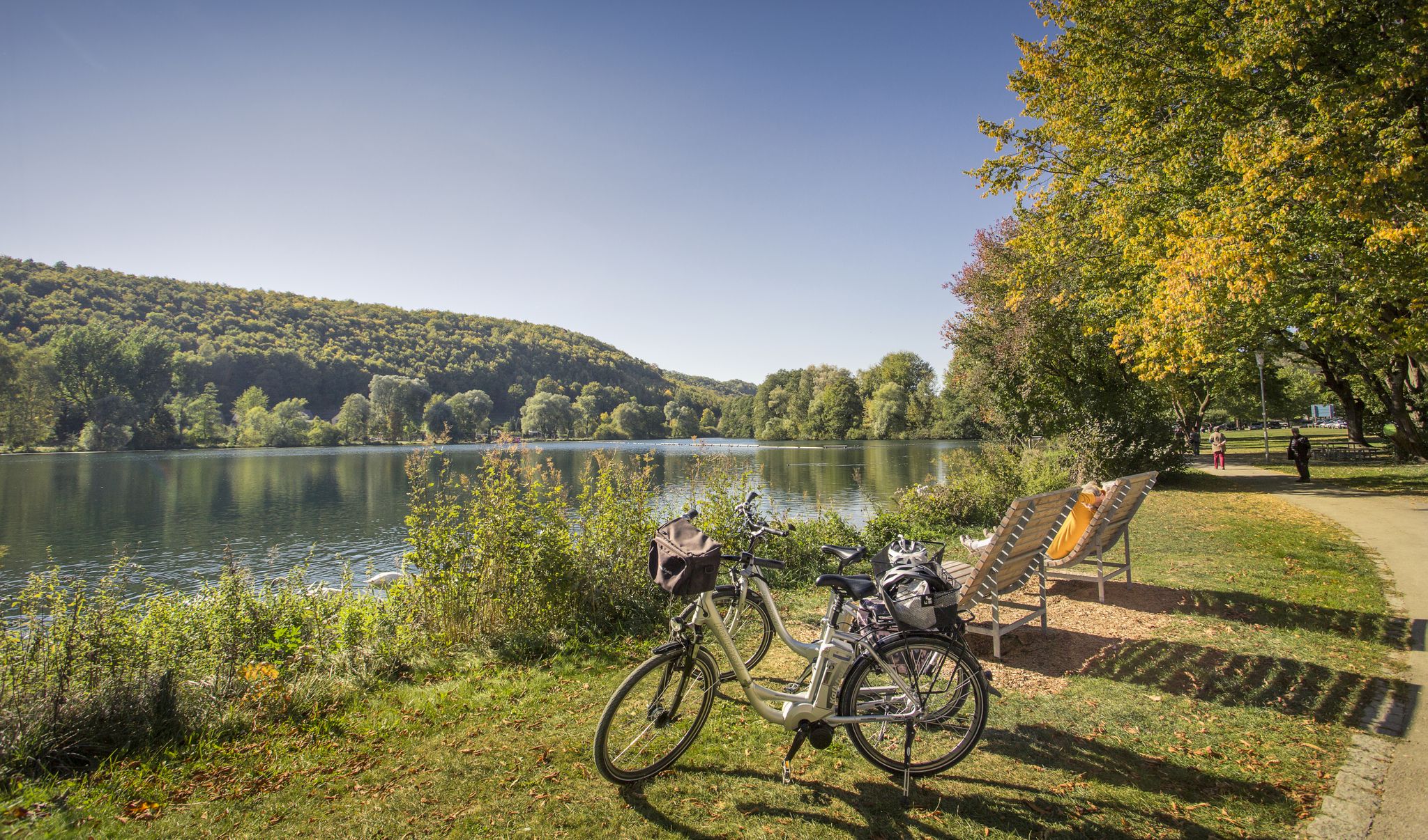
Prehistoric landscapes and the Ice Age – cycling in the Brenz region
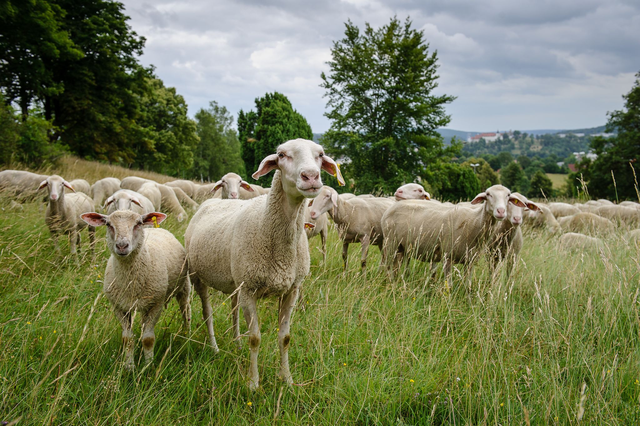
Counting sheep on the Albschäfer Trail
Counting sheep on the Albschäfer Trail
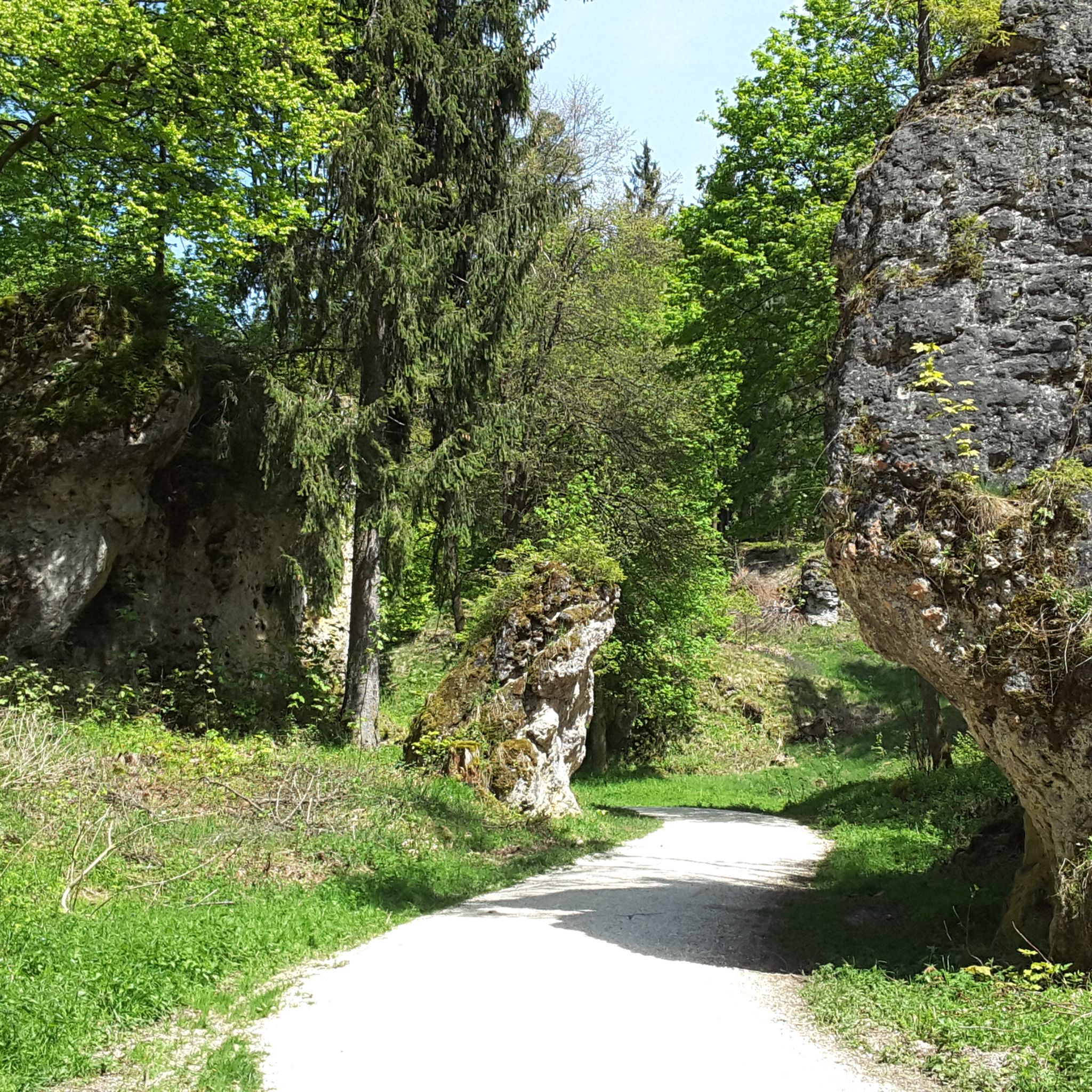
Hiking around Steinheim am Albuch
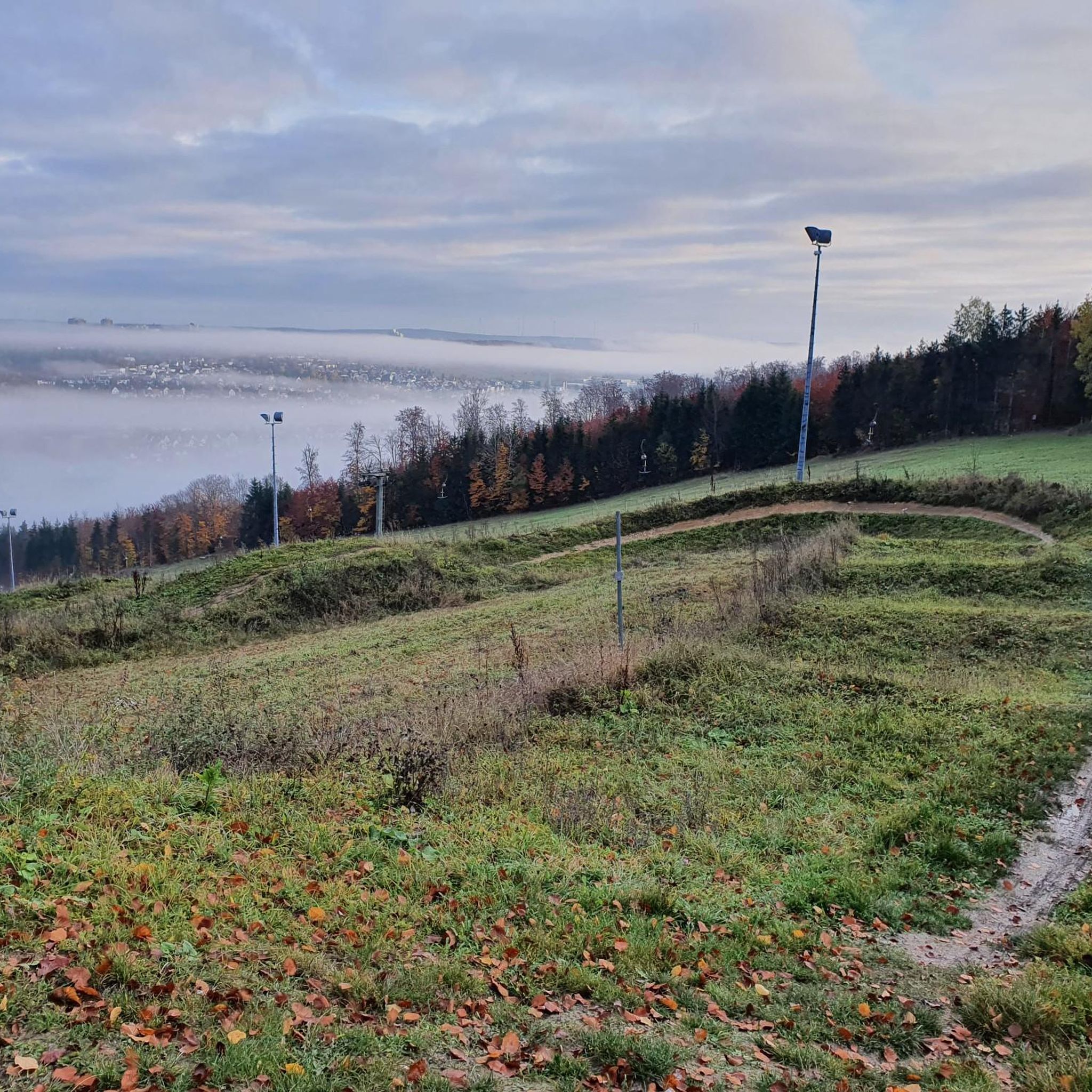
Cycling around Steinheim am Albuch
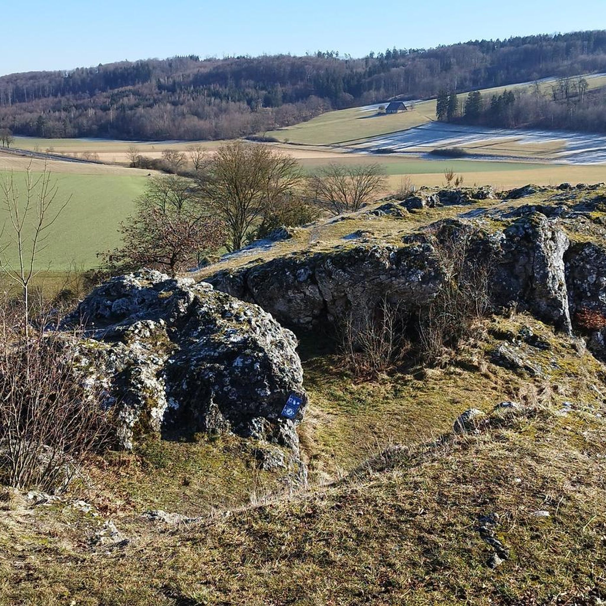
Road Cycling Routes around Steinheim am Albuch
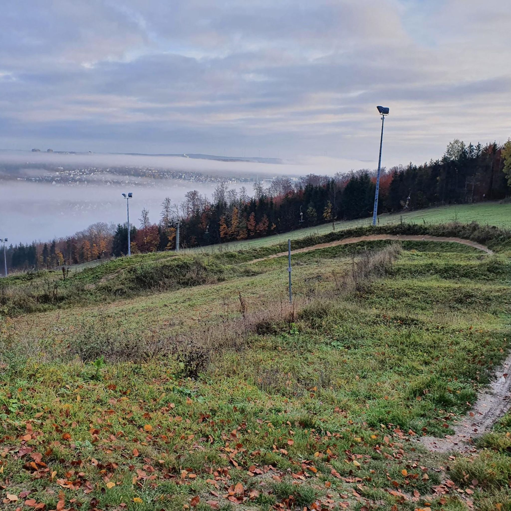
Running Trails around Steinheim am Albuch
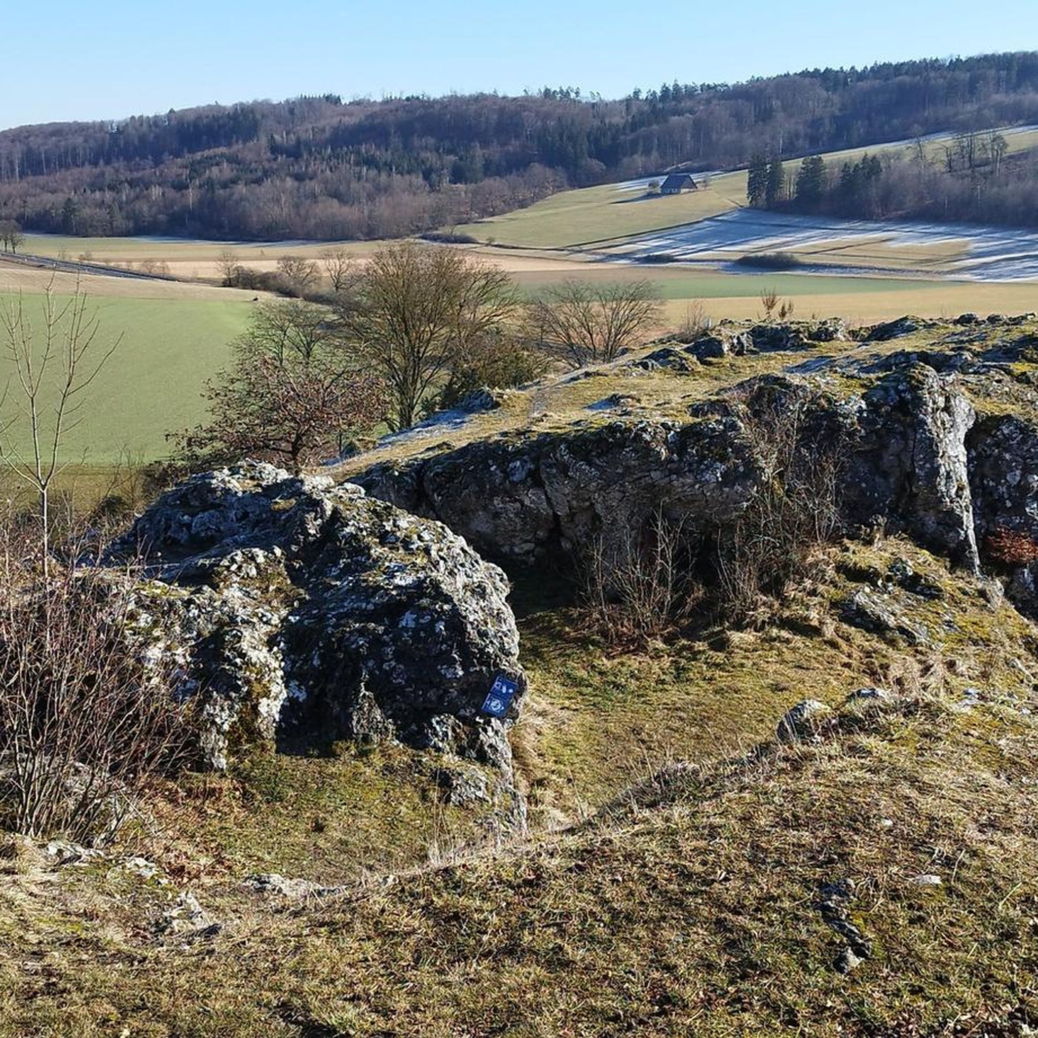
MTB Trails around Steinheim am Albuch

Gravel biking around Steinheim am Albuch

Tips from the Community

Here is the turn-off towards Ravenstein Castle ruins.
0
0

Beautiful forest with the highlight at the top.
0
0
Very good uphill for experienced bikers.
0
0

Wonderful view. Besides an information board, there's a table and two wooden benches here 🥪🥛
0
0

The food is wonderful there it is worth
2
3

Very nice view. There's a bench for a break :)
0
0

Great view from the panoramic path
1
0
Great view from the panoramic path
1
1
Frequently Asked Questions
What is the typical difficulty level of mountaineering routes in Steinheim am Albuch?
The mountaineering routes around Steinheim am Albuch primarily feature moderate challenges. There are no easy or difficult graded routes listed, making the area well-suited for those with some experience looking for engaging ascents.
How many mountaineering routes are available in Steinheim am Albuch?
There are 3 dedicated mountaineering routes available in Steinheim am Albuch, all offering moderate challenges and diverse landscapes.
What kind of terrain can I expect on mountaineering routes around Steinheim am Albuch?
You can expect varied terrain, including paths through extensive juniper heathlands and mixed forests, characteristic of the Swabian Alb. The region is also known for the unique geological features of the Steinheim Basin and the bizarre limestone rock formations in the Wental Valley, which add to the diverse landscape.
Are there any circular mountaineering routes in Steinheim am Albuch?
Yes, all the listed mountaineering routes in Steinheim am Albuch are circular. For example, you can explore the Mordloch Cave – Karl-Vorbrugg Hut loop from Schnittlingen, the Aalbäumle Observation Tower – Zeppelin Hut loop from Limesmuseum, or the Knörzerhaus – Hornberg Airfield loop from Kaltes Feld mit Hornberg, Galgenberg und Eierberg.
What natural features or landmarks can I see while mountaineering in Steinheim am Albuch?
The region is rich in natural beauty. You can encounter the unique geological formations of the Steinheim Basin, a well-preserved meteorite crater, and the striking limestone rock formations in the Wental Valley, such as the Wental Rock Sea and Stone Maidens rock formations. The routes also traverse picturesque juniper heathlands and mixed forests.
Are there any castles or historical sites accessible from the mountaineering routes?
Yes, the area around Steinheim am Albuch features several historical sites. You might encounter the Rosenstein Castle Ruins, or even the Hellenstein Castle, which are notable landmarks in the broader region.
What do other mountaineers enjoy the most about mountaineering in Steinheim am Albuch?
The mountaineering routes in Steinheim am Albuch are highly rated by the komoot community, with an average score of 5.0 stars from 3 reviews. Mountaineers often praise the diverse landscapes, including the unique geological formations and scenic views, which offer a comprehensive experience of the local terrain.
Are there any routes that offer particularly scenic viewpoints?
Yes, the Aalbäumle Observation Tower – Zeppelin Hut loop from Limesmuseum is specifically highlighted for its scenic views and passes by an observation tower, providing excellent vantage points.
Can I bring my dog on the mountaineering routes in Steinheim am Albuch?
While specific restrictions for dogs are not detailed for these routes, the general nature of hiking in the Swabian Alb often allows for well-behaved dogs on a leash. It's always recommended to check local regulations or signage at trailheads for any specific rules regarding pets.
Are there family-friendly mountaineering options in Steinheim am Albuch?
The routes are generally of moderate difficulty, which may be suitable for families with older children who are accustomed to hiking. The Aalbäumle Observation Tower – Zeppelin Hut loop from Limesmuseum is a shorter option at 5.2 km, which might be more manageable for families.
What is the best time of year for mountaineering in Steinheim am Albuch?
The Swabian Alb, including Steinheim am Albuch, is generally pleasant for outdoor activities from spring through autumn. These seasons offer mild weather, vibrant flora, and clear views. Winter mountaineering is possible but may require appropriate gear for colder conditions and potential snow or ice.
What is the average elevation gain on these mountaineering routes?
The elevation gain varies by route. For instance, the Mordloch Cave – Karl-Vorbrugg Hut loop from Schnittlingen has an elevation gain of approximately 292 meters, while the Knörzerhaus – Hornberg Airfield loop from Kaltes Feld mit Hornberg, Galgenberg und Eierberg involves about 470 meters of ascent.
Most popular routes around Steinheim am Albuch
Most popular attractions around Steinheim am Albuch

Get inspired with the komoot mobile app


