The best cycling routes around Shotteswell
4.4
(60)
791
riders
151
rides
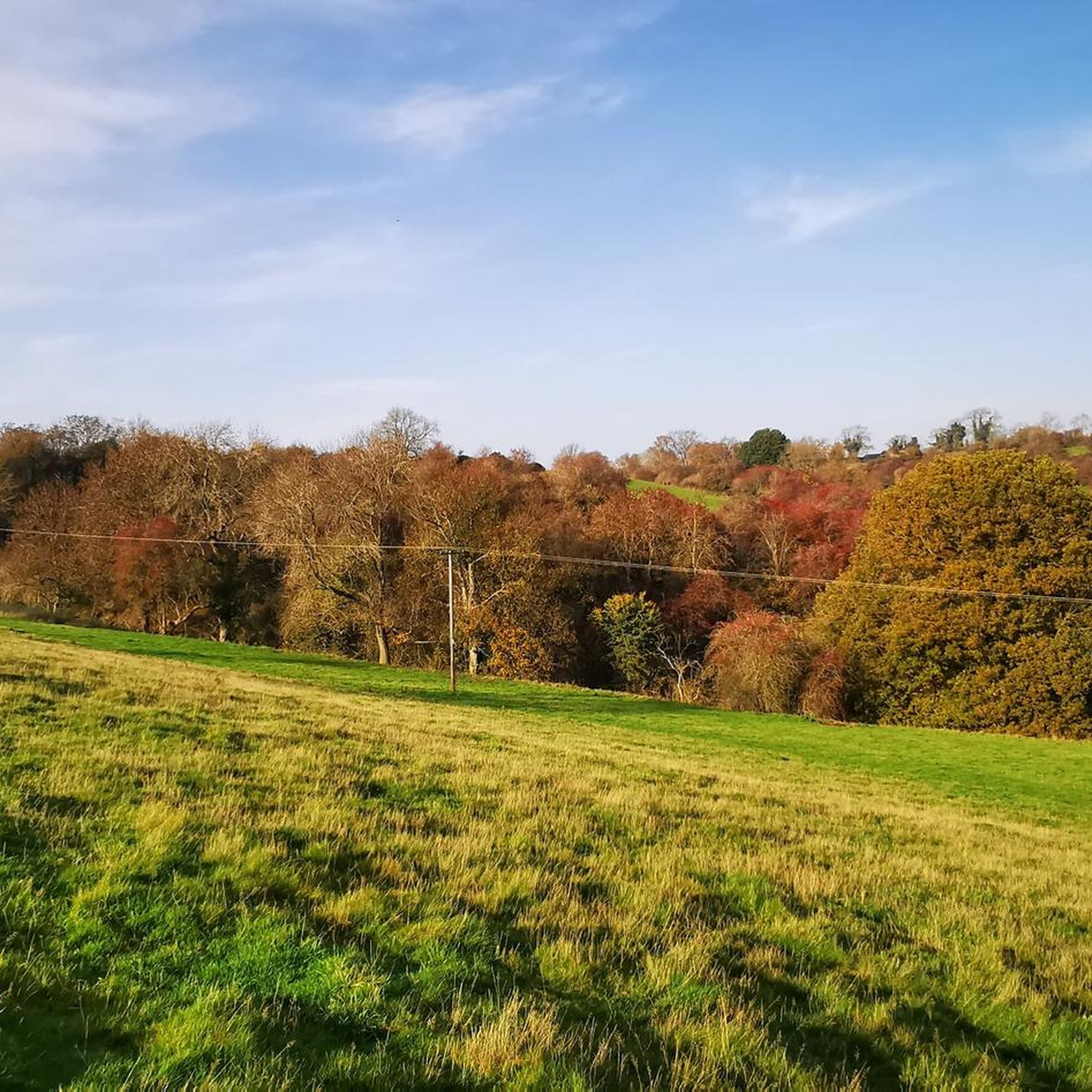
Touring cycling around Shotteswell offers routes through the rolling green landscapes of rural Warwickshire. The village is situated on the eastern slope of hills that gradually ascend to 600 feet (180 meters), providing extensive views over the surrounding valley. The River Avon forms the eastern boundary of the parish, adding to the natural features. Local architecture, characterized by warm-toned Hornton Stone, integrates with the environment.
Best touring cycling routes around Shotteswell
- The most popular touring cycling route is Great Bourton…
Last updated: July 5, 2026
6
riders
25.9km
01:35
180m
180m
Moderate bike ride. Good fitness required. Mostly paved surfaces. Suitable for all skill levels.
5.0
(1)
9
riders
45.3km
02:54
380m
380m
Moderate bike ride. Good fitness required. Mostly paved surfaces. Suitable for all skill levels.

Sign up for free
7
riders
25.6km
01:33
180m
180m
Moderate bike ride. Good fitness required. Mostly paved surfaces. Suitable for all skill levels.
4.5
(2)
5
riders
44.9km
02:42
300m
300m
Moderate bike ride. Good fitness required. Mostly paved surfaces. Suitable for all skill levels.
5
riders
17.7km
01:04
130m
130m
Easy bike ride. Great for any fitness level. Mostly paved surfaces. Suitable for all skill levels.
Get access to more routes and recommendations from other explorers.
Sign up for free
Already have an account?
Our route recommendations are based on thousands of hikes, rides, and runs completed by other people on komoot.
Start today with a free account
Your next adventure awaits.
Login or Signup

Tips from the Community


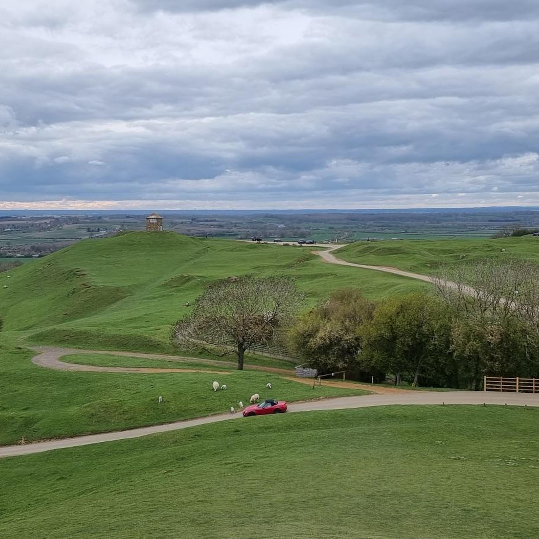
Edgehill Castle (Tower) which is now a rather nice pub/restaurant. The castle was built in the 18th Century as a 'sham' castle reputedly on the exact spot where Charles I raised his standard before the Battle of Edgehill during the first English Civil War. Apparently Cromwell got there too late for the battle.
1
0


Cracking cafe in the middle of Brackley, set in - you guessed it - an old fire station. Good coffee, bike spaces and friendly staff.
0
0

Cropredy is a lovely village with walks along the Oxford Canal
0
0

Napton Lock No 12 is a minor waterways place on the Oxford Canal (Southern Section - Main Line) between Old Engine House Arm Junction (4¾ furlongs and 2 locks to the south) and Napton Junction (Junction of Grand Union and Oxford Canals) (2 miles and 4½ furlongs and 4 locks to the northeast). It is part of Napton Locks. The nearest place in the direction of Old Engine House Arm Junction is Napton Lock No 13; ¾ furlongs away. The nearest place in the direction of Napton Junction is Shut Bridge No 115; a few yards away.
0
0
Shut Bridge No 115 is a minor waterways place on the Oxford Canal (Southern Section - Main Line) between Old Engine House Arm Junction (5 furlongs and 3 locks to the south) and Napton Junction (Junction of Grand Union and Oxford Canals) (2 miles and 4½ furlongs and 4 locks to the northeast). It is part of Napton Locks. The nearest place in the direction of Old Engine House Arm Junction is Napton Lock No 12; a few yards away. The nearest place in the direction of Napton Junction is Napton Lock No 11; 1¼ furlongs away.
0
0
Marston Doles Bridge No 119 is a minor waterways place on the Oxford Canal (Southern Section - Main Line) between Fenny Compton Wharf (7 miles and 4¼ furlongs and 1 lock to the southwest) and Old Engine House Arm Junction (6½ furlongs and 1 lock to the northwest). It is part of Napton Locks. The nearest place in the direction of Fenny Compton Wharf is Marston Doles Top Lock No 16; a few yards away. The nearest place in the direction of Old Engine House Arm Junction is Marston Doles Bottom Lock No 15; 1 furlong away.
0
0
Frequently Asked Questions
How many touring cycling routes are available around Shotteswell?
There are over 160 touring cycling routes available around Shotteswell, catering to various skill levels. You'll find a good mix, with over 30 easy routes, more than 110 moderate options, and around 20 more challenging rides.
What do other touring cyclists enjoy most about cycling in Shotteswell?
The touring cycling routes around Shotteswell are highly rated by the komoot community, with an average score of 4.4 stars from over 50 reviews. Cyclists often praise the picturesque landscapes, the blend of rolling hills and river scenery, and the charming rural English experience.
Are there touring cycling routes suitable for beginners or families in Shotteswell?
Yes, Shotteswell offers several easy touring cycling routes perfect for beginners or families. An excellent option is the Edgehill Country Park Campsite – View from Edgehill loop from Shotteswell CP, which is an easy 17.7 km (11 miles) trail with gentle elevation changes, offering a pleasant ride through the countryside.
Can I find circular touring cycling routes in the Shotteswell area?
Yes, many of the touring cycling routes around Shotteswell are circular, allowing you to start and end in the same location. For example, the popular Great Bourton to Cropredy Road – Cropredy Wharf loop from Bourton is a moderate 25.8 km (16 miles) circular route that explores the countryside around Great Bourton and Cropredy.
What kind of landscapes can I expect to see while touring cycling around Shotteswell?
You can expect to cycle through the rolling green landscapes typical of the English Midlands, offering extensive views over the surrounding valleys. The River Avon forms the eastern boundary of the parish, adding natural beauty, and you'll often see local architecture characterized by warm-toned Hornton Stone blending with the environment.
Are there any historical sites or attractions I can visit along the touring cycling routes near Shotteswell?
Absolutely. The region is rich in history and attractions. You could incorporate a visit to the significant Battle of Edgehill Site, or explore the beautiful Upton House and Gardens. Other notable historical sites include All Saints' Church, Burton Dassett, and the Church of St John the Baptist, Hornton.
Are there any routes that feature canal-side sections?
Yes, some routes offer pleasant canal-side cycling. The Cropredy Wharf – Marston Doles Canal Wharf loop from Cropredy is a moderate 44.6 km (27.7 miles) path that features scenic canal-side sections, providing a different perspective of the rural scenery.
What is the best time of year to go touring cycling around Shotteswell?
The best time for touring cycling around Shotteswell is generally from spring through early autumn (April to October). During these months, the weather is typically milder and drier, making for more comfortable rides and allowing you to fully appreciate the rolling green landscapes. Summer offers the longest daylight hours.
Where can I find parking for cycling routes near Shotteswell?
While specific parking areas for cyclists aren't detailed in the route data, Shotteswell and nearby villages like Cropredy often have public parking facilities. It's advisable to check local council websites or mapping services for designated parking spots in the village centers or near trailheads before your ride.
Is Shotteswell accessible by public transport for cyclists?
Shotteswell is a rural village, and public transport options might be limited. While local bus services may connect to larger towns, bringing a bicycle on board can be challenging. For more comprehensive public transport information, including train services to nearby towns like Banbury, it's best to consult national rail and local bus operator websites.
Are there any cafes or pubs along the touring cycling routes in Shotteswell?
Yes, the region offers opportunities to stop for refreshments. Routes often pass through or near villages like Cropredy, which is known for its amenities. For instance, the The Old Fire Station Café – Cropredy Wharf loop from Cropredy specifically mentions a café in its starting point, indicating that such establishments are available to cyclists.
Are there dog-friendly touring cycling routes in Shotteswell?
While the routes themselves are generally open, whether a route is dog-friendly depends on local regulations, land ownership, and the comfort of your dog with cycling. Many rural paths are suitable for dogs on a lead, but always be mindful of livestock and local signage. It's recommended to check specific route details and local guidelines if you plan to bring your dog.
Can I find routes with good viewpoints around Shotteswell?
Yes, Shotteswell is situated on the eastern slope of hills that gradually ascend to 600 feet (180 meters), providing extensive views over the surrounding valley. The Edge Hill Climb from Kineton, while a challenge, is specifically highlighted for its notable local cycling climb and would offer rewarding vistas. Many routes traversing the higher ground will provide scenic outlooks.
Most popular attractions around Shotteswell

Get inspired with the komoot mobile app


Explore more
Browse the best Cycling routes in other regions.
