The best running trails around Blaufelden
4.5
(158)
2,421
runners
331
runs
Jogging around Blaufelden offers diverse landscapes within the picturesque Hohenlohe region of Germany. The area is characterized by its proximity to the Schwäbisch-Fränkischer Wald Nature Park, featuring charming river valleys, low mountain landscapes, and varied terrains including notch valleys, red sandstone formations, meadows, and orchards. Runners can explore a network of trails that often include forest paths and gravel surfaces, providing a mix of accessible routes and more challenging options. The region also benefits from the scenic Jagst River valley…
Last updated: July 2, 2026
23
runners
7.26km
00:46
50m
50m
Moderate run. Good fitness required. Mostly paved surfaces. Suitable for all skill levels.
5.0
(2)
7
runners
7.63km
00:48
50m
50m
Moderate run. Good fitness required. Mostly paved surfaces. Suitable for all skill levels.

Sign up for free
9
runners
8.26km
00:51
40m
40m
Moderate run. Good fitness required. Mostly paved surfaces. Suitable for all skill levels.
5.0
(1)
4
runners
14.4km
01:32
80m
80m
Moderate run. Good fitness required. Mostly paved surfaces. Suitable for all skill levels.
4
runners
9.83km
01:07
180m
180m
Moderate run. Good fitness required. Mostly paved surfaces. Suitable for all skill levels.
Get access to more routes and recommendations from other explorers.
Sign up for free
Already have an account?
Our route recommendations are based on thousands of hikes, rides, and runs completed by other people on komoot.
Start today with a free account
Your next adventure awaits.
Login or Signup
Popular around Blaufelden
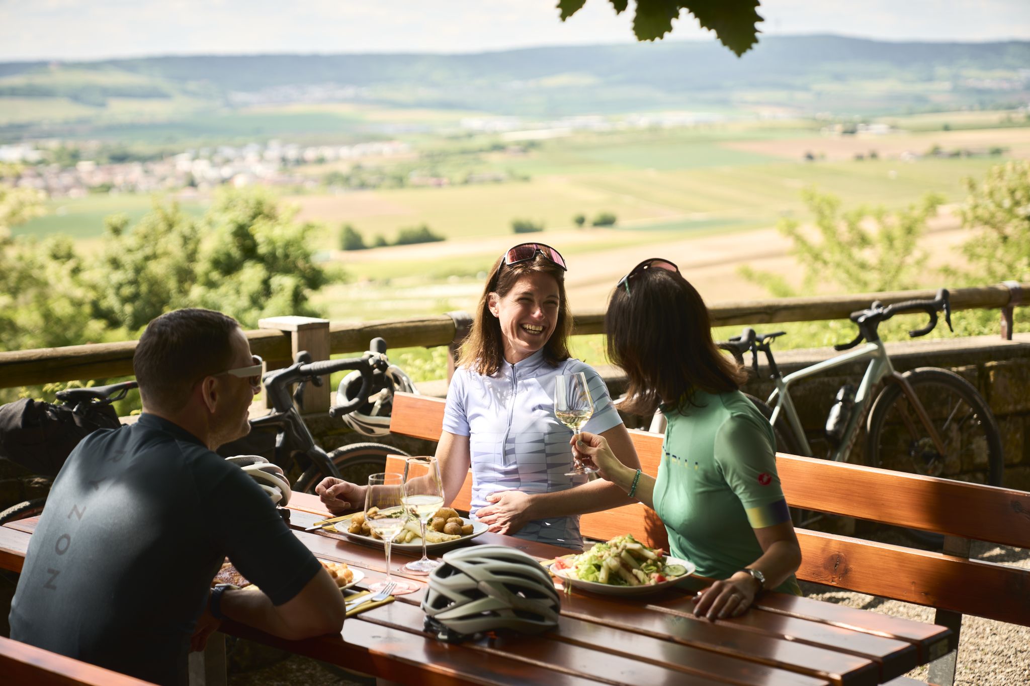
Cycling and local cuisine – pleasure rides in the Süden ganz oben
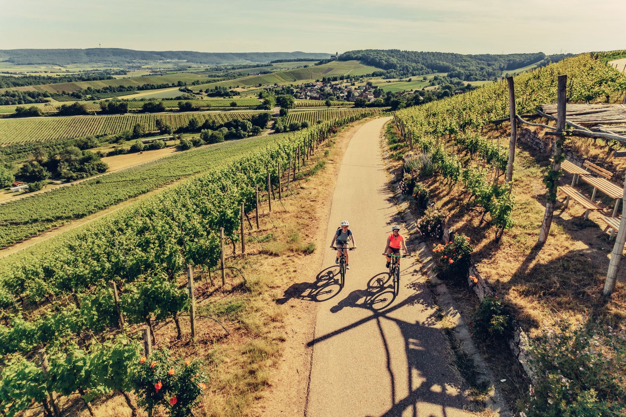
E-bike day Tours along the Tauber, Kocher, Jagst and Neckar rivers
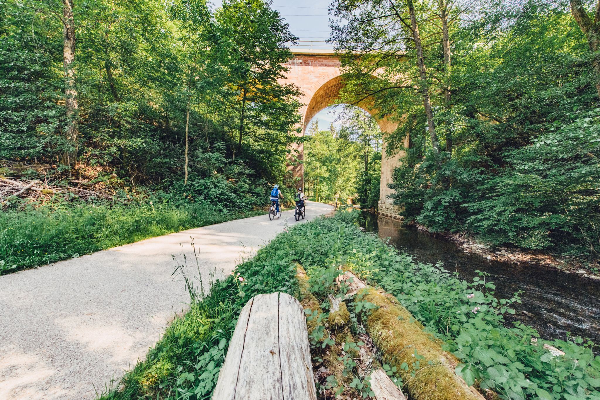
Weekend rides along the Kocher, Jagst and Neckar rivers in Germany
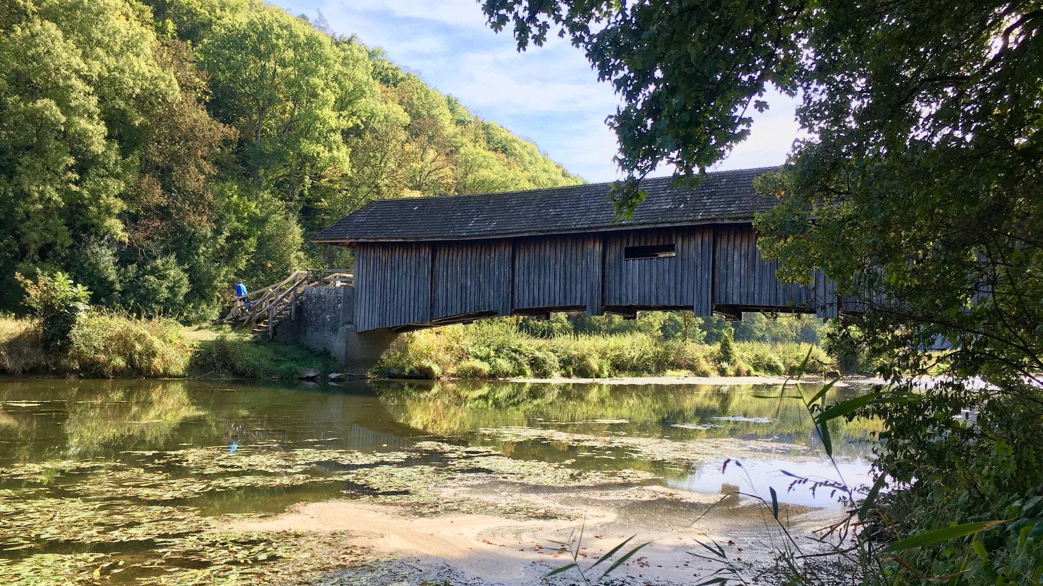
Kocher-Jagst-Trail – Naturerlebnis und Kulturgenuss im Herzen Hohenlohes
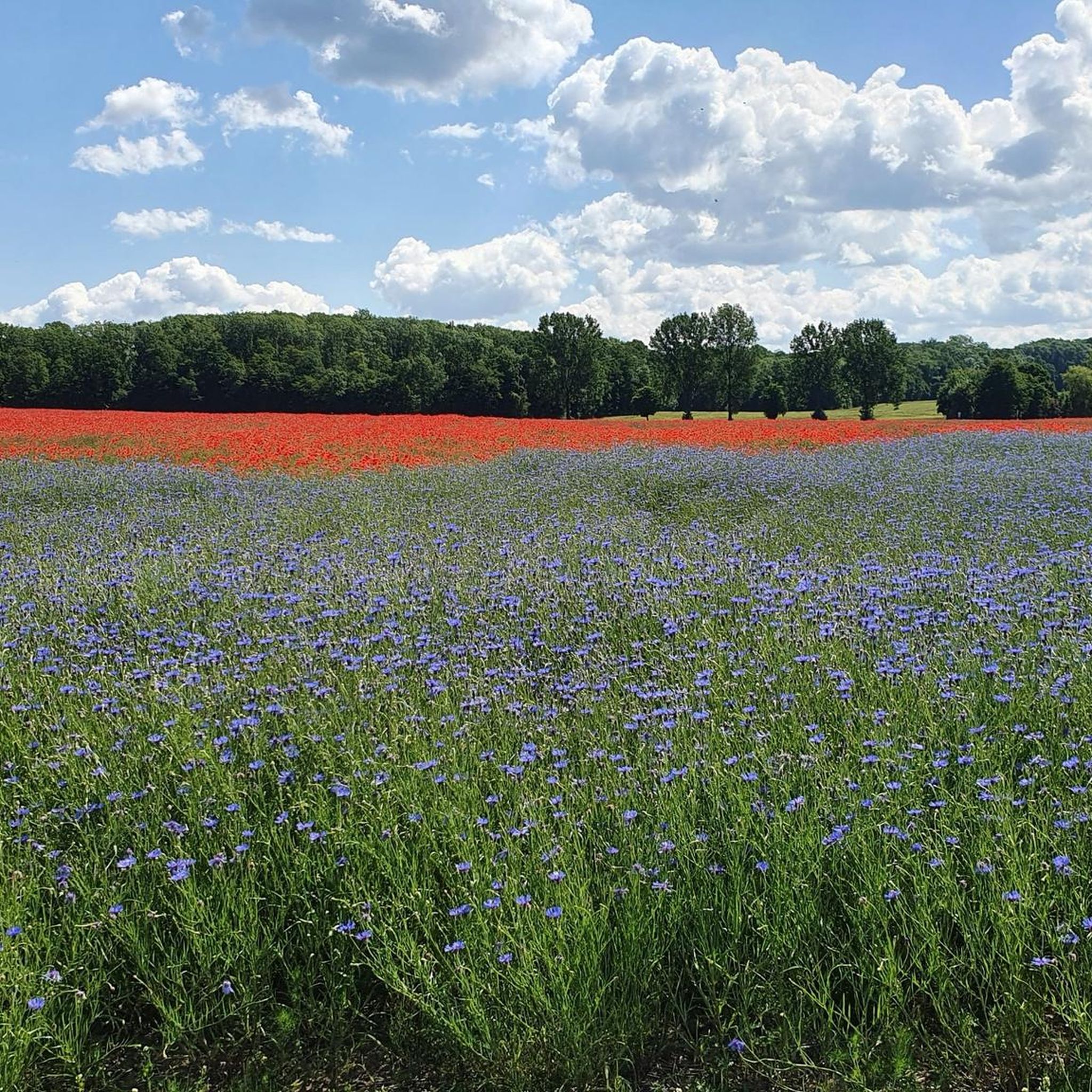
Cycling around Blaufelden
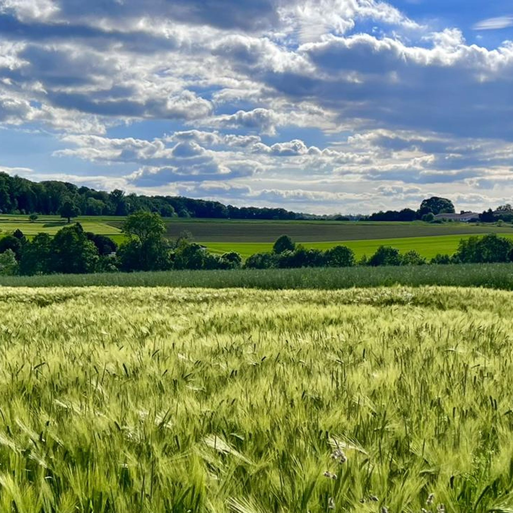
Hiking around Blaufelden
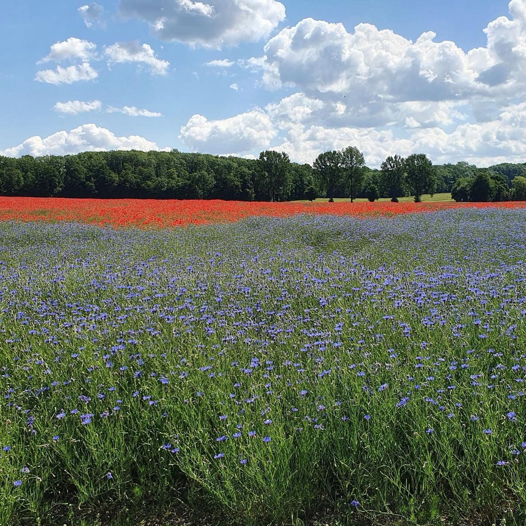
MTB Trails around Blaufelden
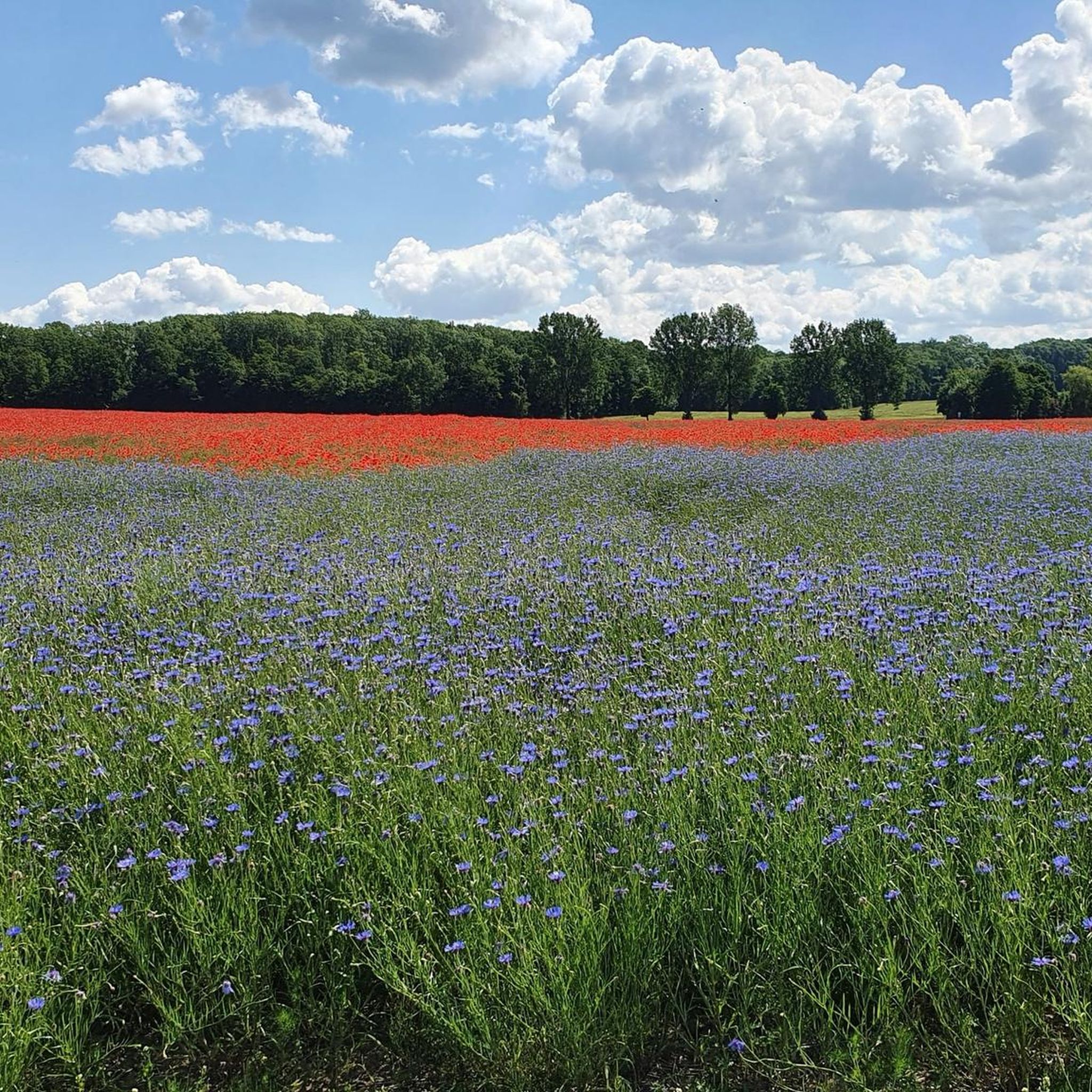
Road Cycling Routes around Blaufelden

Gravel biking around Blaufelden
Other adventures around Blaufelden


Tips from the Community

Very nice new facility.
2
4
This is a beautiful new riding stable with plenty of space. I think the horses and riders will love it.
4
4
The Nonnenwald and the Nonnenwiesen (30 acres) south of the Nonnenwald belonged to the Kreuzfeld monastery. After many disputes between the Kreuzfeld monastery and the Schäftersheim monastery, the Kreuzfeld monastery was dissolved in 1253 and the goods were integrated into the Schäftersheim monastery. A large part of the Kreuzfeld nuns also went to Schäftersheim.
6
3
Beautiful place with imposing trees.
5
3
A very nice place in the middle of the nuns' forest. The large conifers, which are about 60 years old, are very beautiful. One finds coast redwoods and giant thujas. A few years ago there was an American tulip tree. But it came in. It was probably not suitable for the Schrozberg climate. I like it very much when the foresters occasionally try to make foreign trees native to Hohenlohe.
6
3
The map from 1833 still shows the lake north of Sigisweiler. Apparently it is still wet there today. No arable land was laid out, but a meadow with fruit trees (orchard). Today one would certainly be happy about a lake. Especially in these dry times.
1
1
In the 19th century, the Sigisweiler lake was drained in order to gain more arable land.
1
1
Frequently Asked Questions
How many running routes are available around Blaufelden?
Blaufelden offers a good selection of running routes, with over 15 trails documented on komoot. These routes cater to various preferences, from shorter jogs to longer runs, all set within the scenic Hohenlohe region.
What kind of terrain can I expect on the jogging trails in Blaufelden?
The jogging trails in Blaufelden feature diverse terrain, including forest paths, gravel routes, and sections along river valleys and reservoirs. You'll find a mix of accessible paths and more challenging options with elevation changes, often within the picturesque Schwäbisch-Fränkischer Wald Nature Park.
Are there any easy running routes suitable for beginners in Blaufelden?
While most routes are moderate, there are options suitable for beginners. The region's diverse trail network includes accessible paths that are less demanding, allowing new runners to enjoy the beautiful landscapes without significant challenges. Look for routes with minimal elevation gain.
Can I find circular jogging routes in the Blaufelden area?
Yes, many of the running routes around Blaufelden are circular, offering convenient starting and ending points. For example, the popular Former Sigisweiler Lake loop from Blaufelden is a moderate 4.7-mile (7.6 km) circular trail that takes about 48 minutes to complete.
What are some longer running trails if I'm looking for a challenge?
For a longer run, consider the Schorren loop from Schmalfelden. This moderate trail spans 8.9 miles (14.4 km) and offers a more extended experience through the region's varied landscapes, including sections with notable elevation changes.
What interesting sights or natural features can I see while jogging near Blaufelden?
While jogging, you can encounter various natural and historical features. The region is close to the Jagst River valley, offering idyllic scenery. You might also pass by historical elements like Haltenbergstetten Castle or the Protestant church of St. Georg. Additionally, highlights such as the Tauber River and the Steinbachtal Valley are nearby, providing beautiful natural backdrops.
How do other runners rate the trails in Blaufelden?
The running routes in Blaufelden are highly regarded by the komoot community, with an impressive average score of 4.4 stars from over 50 reviews. Runners often praise the diverse terrain, tranquil forest sections, and scenic views, making it a popular destination for outdoor enthusiasts.
Are there running routes accessible by public transport in Blaufelden?
While specific public transport access varies by route, Blaufelden itself has local bus connections. It's advisable to check local bus schedules to see which routes might align with your chosen running trail's starting point. Many trails are designed to be accessible from various points within the region.
Where can I find parking for the running routes in Blaufelden?
Many running routes in Blaufelden, especially those starting from villages or popular recreational areas, offer designated parking facilities. For routes like the Billingsbach Lake loop from Burg Hertenstein, you can often find parking near the starting points in the respective localities.
Is Blaufelden a good place for dog-friendly running?
Blaufelden's natural landscapes, with extensive forest paths and open fields, are generally very suitable for running with dogs. The Schwäbisch-Fränkischer Wald Nature Park offers plenty of space for your canine companion to enjoy. Always remember to keep your dog on a leash where required and clean up after them.
Are there any family-friendly running paths in Blaufelden?
Yes, Blaufelden offers paths that are suitable for families, particularly those with older children who enjoy running. Routes with gentler gradients and well-maintained surfaces, often found around the Blaubach Reservoir or through local woodlands, provide a pleasant experience for all. The Running loop from Burg Hertenstein, at 3.3 miles (5.3 km), is a good moderate option.
What is the best time of year for jogging in Blaufelden?
Blaufelden is enjoyable for jogging throughout much of the year. Spring and autumn offer pleasant temperatures and beautiful scenery with blooming flowers or vibrant foliage. Summer is also great, especially for shaded forest paths. Even in winter, many trails remain accessible for a refreshing run, though conditions may vary.
Most popular routes around Blaufelden
Most popular attractions around Blaufelden

Get inspired with the komoot mobile app


Explore more
Browse the best Running Trails & Routes in other regions.
