The best running trails around Erligheim
5.0
(35)
95
runners
17
runs
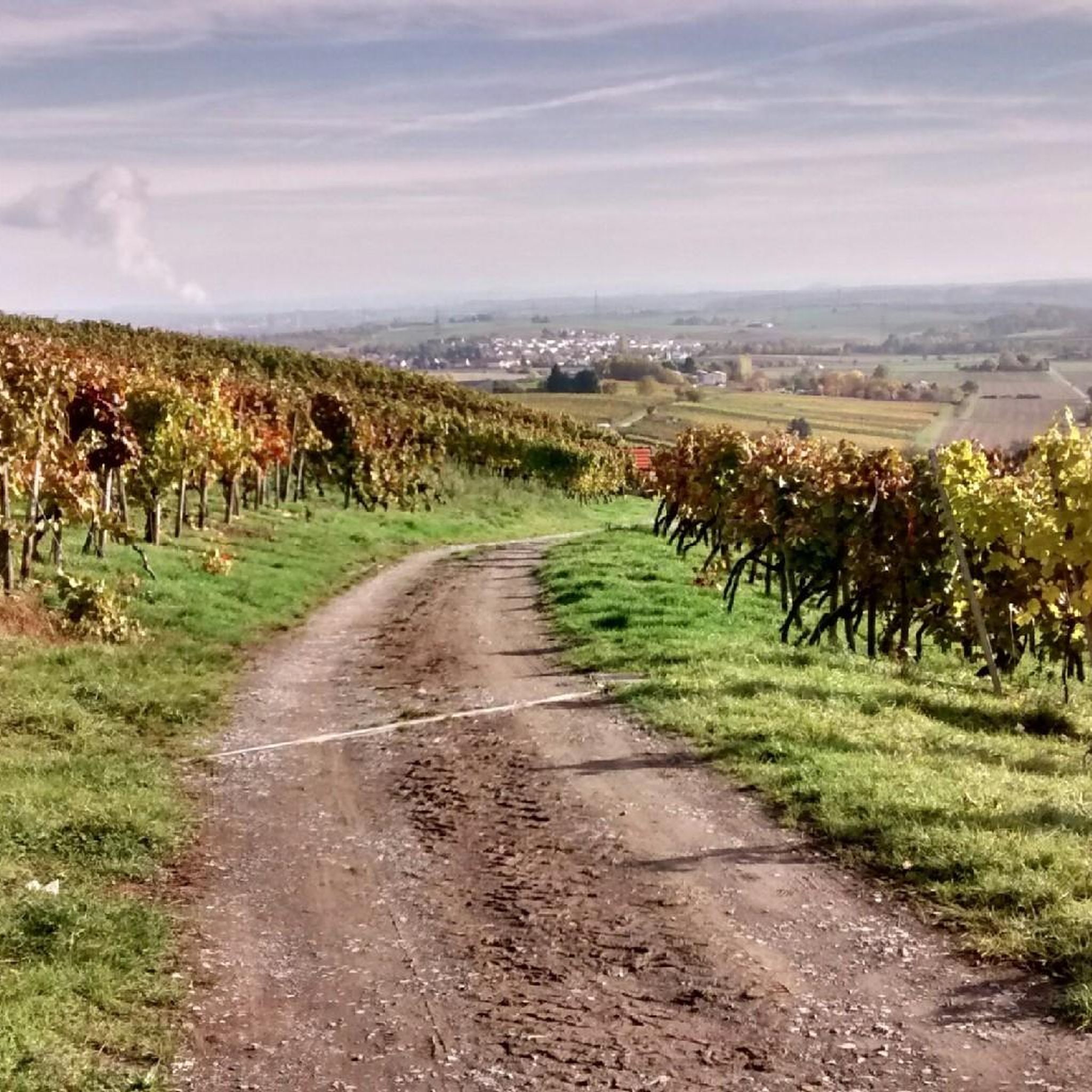
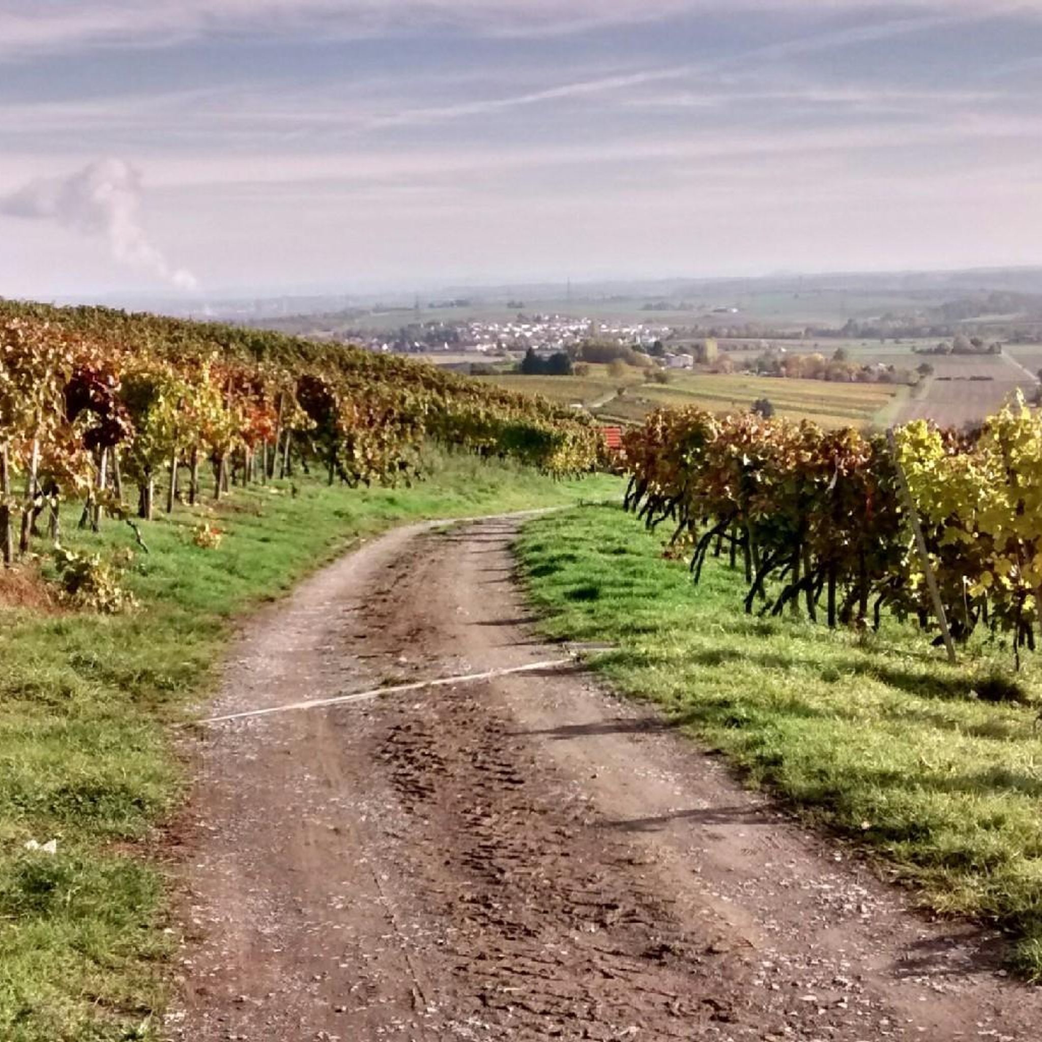
Jogging routes around Erligheim traverse a varied landscape within the Neckar basin, extending into the Stromberg and Heuchelberg regions. The area features rolling hills, dense forests, and picturesque vineyards, providing diverse terrain for runners. Proximity to the Stromberg-Heuchelberg Nature Park offers numerous well-maintained trails. This natural setting creates a stimulating environment for outdoor activities.
Best jogging routes around Erligheim
- The most popular jogging route is Mayer Winery, Besenwirtschaft – Weinzeit Café & Winery Bähr loop from Erligheim, a 2.4…
Last updated: October 7, 2026
8
runners
Moderate run. Good fitness required. Mostly paved surfaces. Suitable for all skill levels.
5.0
(1)
16
runners
Moderate run. Good fitness required. Mostly paved surfaces. Suitable for all skill levels.

8
runners
Moderate run. Good fitness required. Mostly paved surfaces. Suitable for all skill levels.
10
runners
14.8km
01:36
210m
210m
Moderate run. Good fitness required. Mostly paved surfaces. Suitable for all skill levels.
4
runners
Moderate run. Good fitness required. Mostly paved surfaces. Suitable for all skill levels.
Get access to more routes and recommendations from other explorers.
Already have an account?
Our route recommendations are based on thousands of hikes, rides, and runs completed by other people on komoot.
Start today with a free account
Your next adventure awaits.
Popular around Erligheim
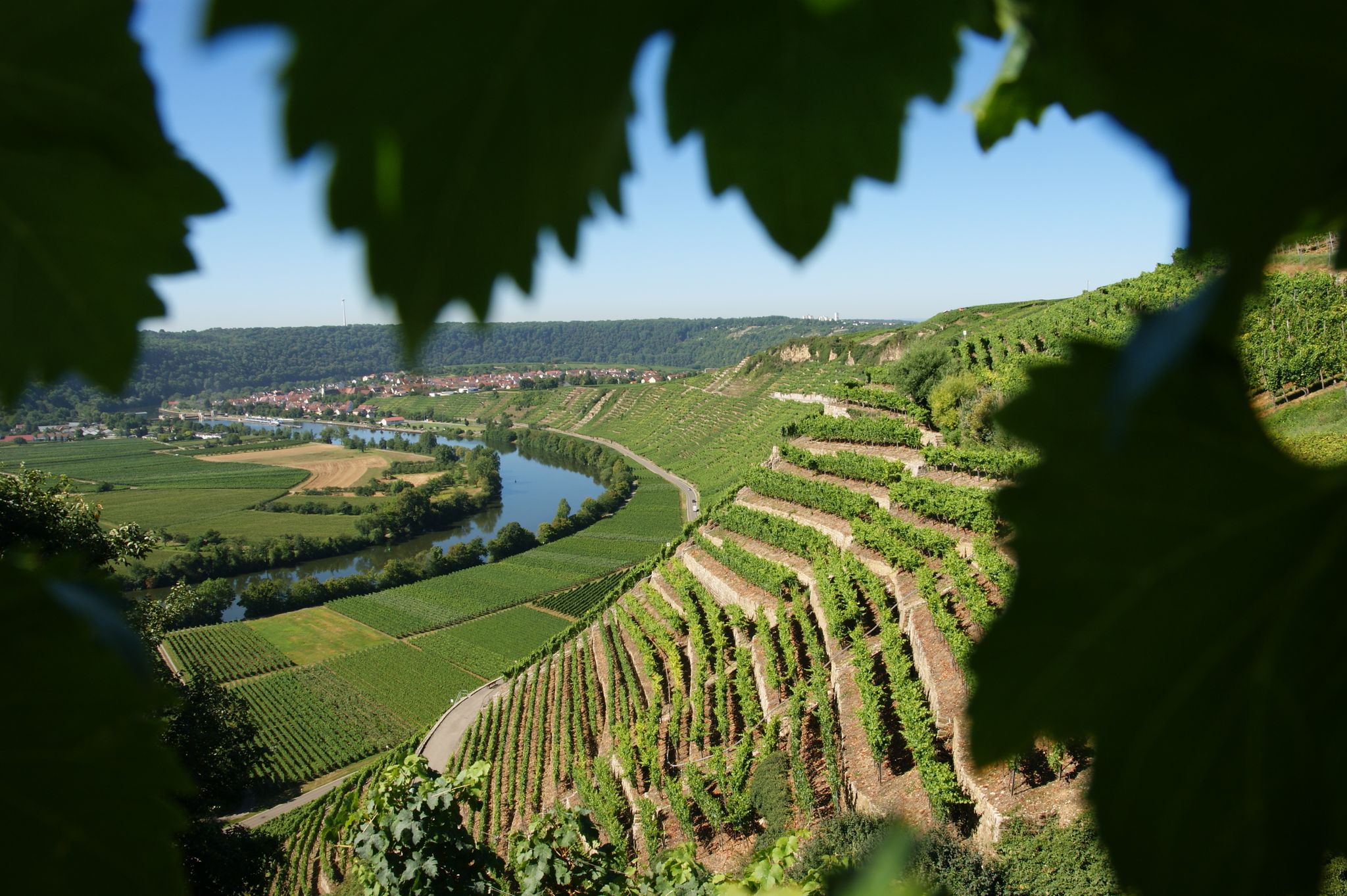
Where the wine grows in loops – hiking in the 3B-Land

Spring in the land of 1,000 hills – Kraichgau-Stromberg in Germany
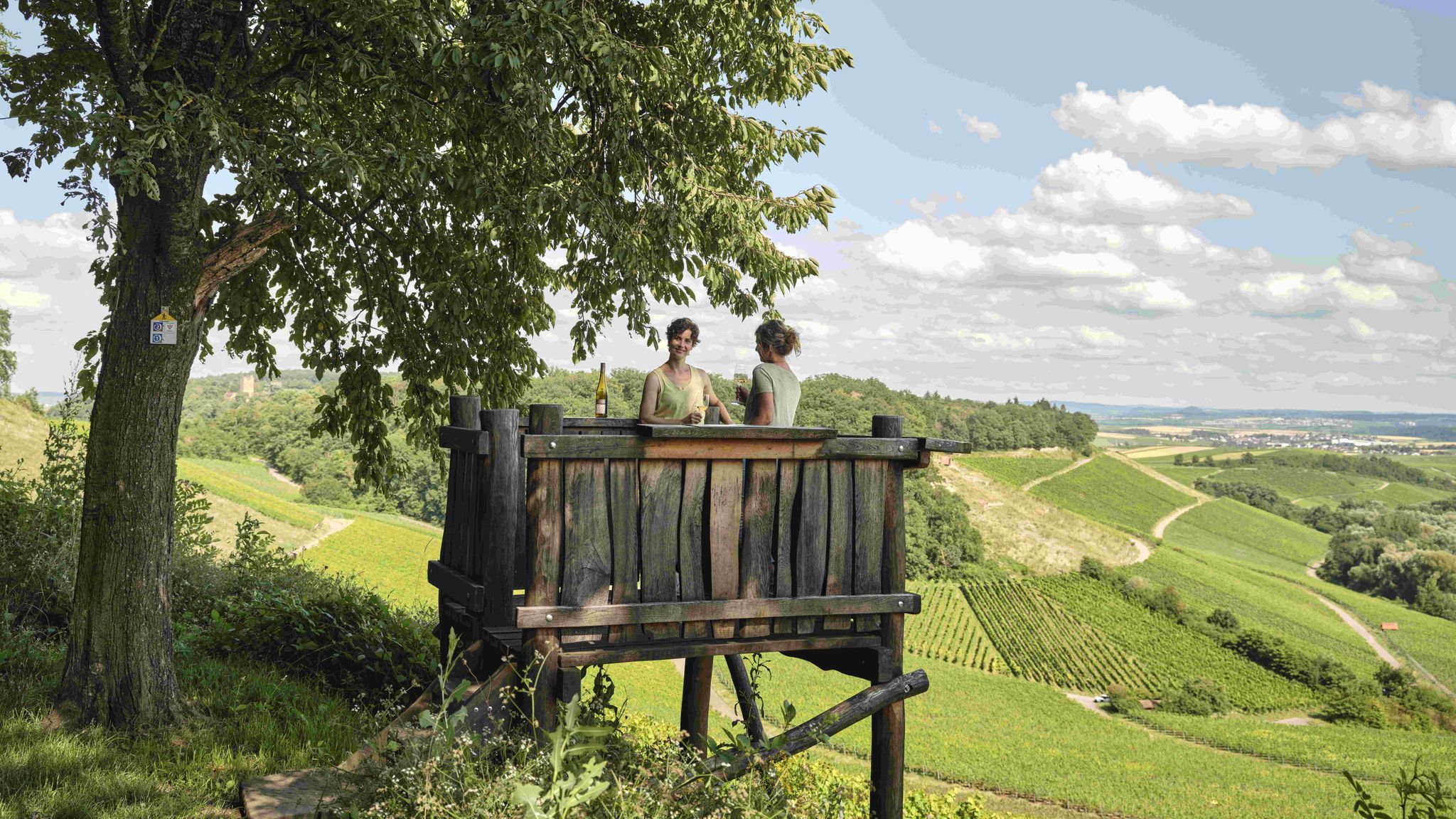
Genusswandern: Auf Wein(wander)wegen durch das Land der 1000 Hügel

Zu Fuß durchs Land der 1000 Hügel
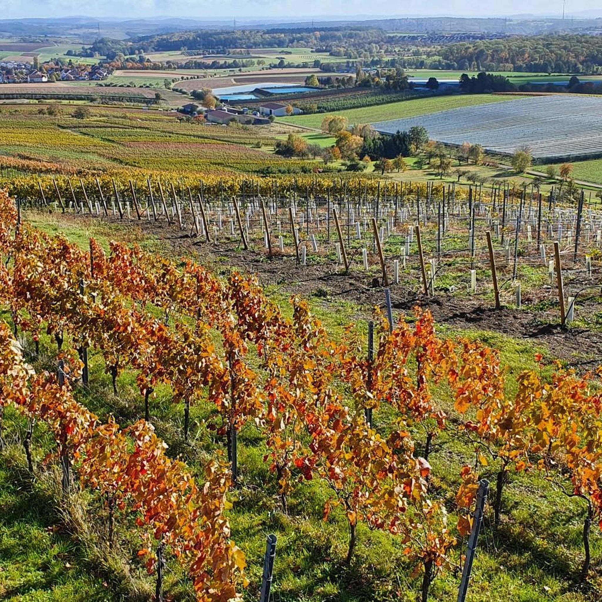
Road Cycling Routes around Erligheim
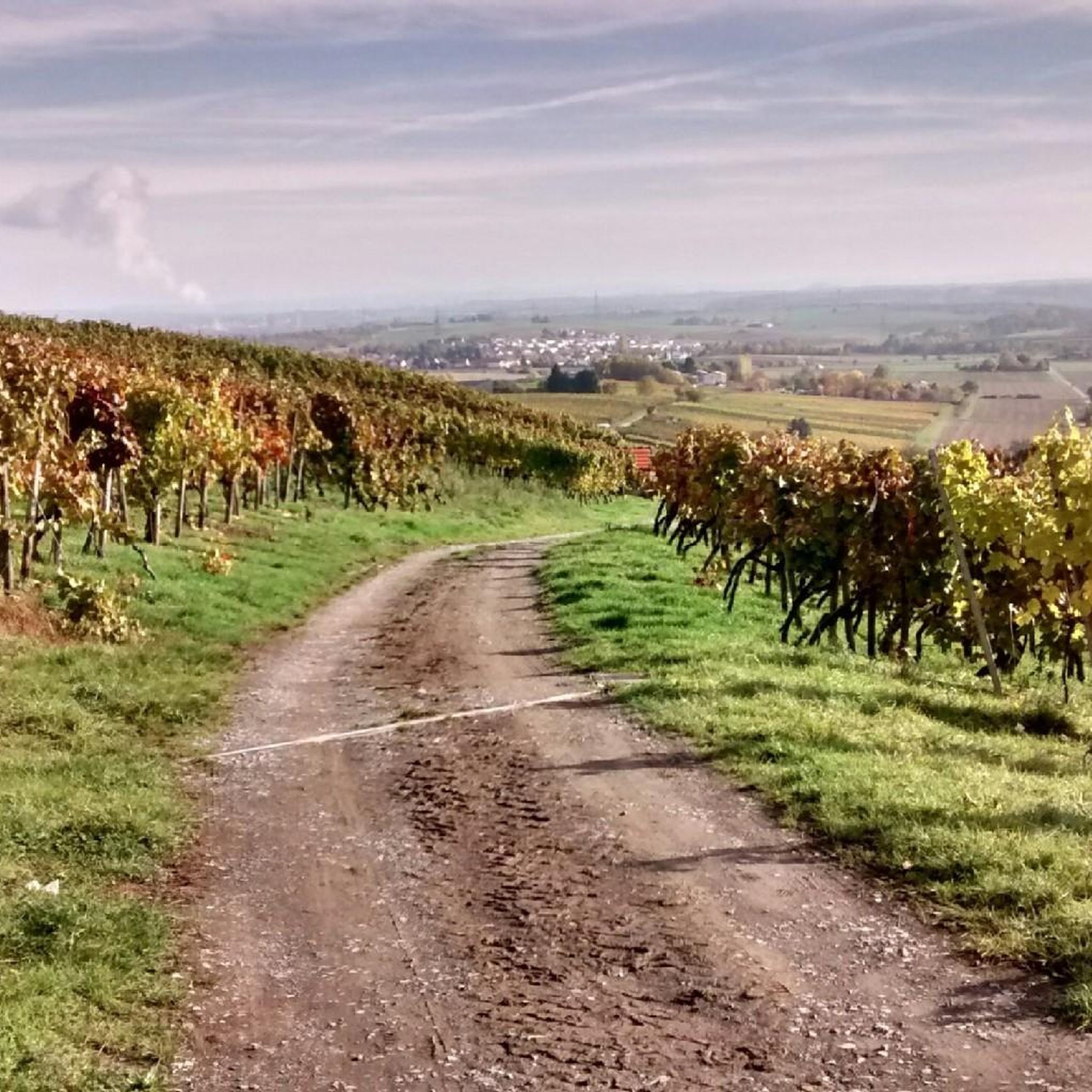
Cycling around Erligheim
Hiking around Erligheim
MTB Trails around Erligheim

Gravel biking around Erligheim
Other adventures around Erligheim

Tips from the Community

The Jewish cemetery northwest of Freudental, which still exists today, was established in 1811 after the previous cemetery, existing since 1723, in the Alleenfeld had to be abandoned. On the grounds of the cemetery located north of Königstraße, King Friedrich had a pheasantry built in 1811. The second Jewish cemetery, located on Bönnigheim territory, comprises 460 graves. The Jews of the community were buried here until 1941.
3
0

Two benches and a table are covered, under a tree there are three apple chairs and an apple table for resting
0
0
with vineyard and wine tavern, opening hours can be found here: https://baehr-weine.de/
0
0

Covered rest area opposite the Talhof
1
0

Seating area with table at the edge of the forest and view towards the meadows and fields in front of Freudental.
8
0
Adjacent to a pilgrimage chapel "Zu unserer lieben Frau" (Our Lady), already existing in 1449 on the "Frauenberg," a ridge southwest of Bönnigheim, the monastery was founded in 1477 by resolution of the Provincial Chapter in Bamberg as a Franciscan Observant Cella on the fiefdom of Archbishop Dietrich of Mainz. The initiative for this may have originated from a visitation of the monasteries in Heilbronn and Leonberg conducted the previous year by Vicar Johannes Philippi. It is likely that the Cella, planned not as a convent but as a "residence," was at least initially dependent on the convent in Heilbronn. The monastery family comprised around twelve brothers; their names between 1486 and 1543 are recorded in the chapter tablets and an obituary. The superiors initially called themselves vicars, possibly because of their dependence on Heilbronn, and from 1501 onward, they were called "presidents." The monastery was run by the Franciscan provincial chapter of Strasbourg from 1478 to 1543. With the introduction of the Reformation following the Peasants' War in 1525, the monastery's religious life was restricted, and its continued existence was limited to the lifetime of the monks present. In 1540, the last monk left the monastery. Two years later, Archbishop Albrecht of Mainz handed the abandoned complex over to the care of the city. The monastery fell into disrepair and was demolished in 1792. Few fragments of architecture and furnishings have survived. A brief archaeological investigation, including surveying of the preserved foundations, was carried out during the land consolidation of 1974/76. The foundations of the choir, now in an idyllic location, were consolidated and are accessible.
3
0
Frequently Asked Questions
How many running routes are available around Erligheim?
There are over 15 dedicated running routes around Erligheim, offering a variety of distances and difficulty levels for joggers. The komoot community has explored 17 routes in total, with options ranging from easy loops to more challenging paths.
What kind of terrain can I expect on the jogging trails in Erligheim?
The region around Erligheim features a diverse landscape ideal for running, including rolling hills, dense forests, and picturesque vineyards. You'll find trails traversing the Neckar basin and extending into the Stromberg and Heuchelberg regions, providing varied and scenic environments for your run.
Are there any family-friendly running routes in Erligheim?
Yes, for a shorter and more accessible run, especially suitable for families, consider the Erlenwald Nature Trail. This circular trail winds through a natural forest section near Erligheim and includes interactive stations about local flora and fauna, making it an engaging option for all ages.
Can I bring my dog on the running trails around Erligheim?
Many trails in the Erligheim area, particularly within the natural landscapes like the Stromberg-Heuchelberg Nature Park, are generally dog-friendly. However, it's always recommended to keep your dog on a leash, especially in nature reserves or areas with wildlife, and to check local signage for specific rules.
What are some scenic viewpoints or landmarks I can see while jogging?
Jogging routes in Erligheim offer beautiful vistas. You can enjoy magnificent views high above the Neckar River, especially near its confluence with the Enz. The Frauenberg Monastery Ruins – Old Brickworks Bönnigheim loop from Erligheim guides runners through varied terrain including historical points of interest. Additionally, the nearby Strombergsteig offers breathtaking views over the entire region and passes by historic castle ruins like Liebenstein Castle and Lichtenberg Castle.
Are there any circular running routes in the area?
Yes, many of the running routes around Erligheim are designed as circular loops. For example, the popular Johanneskirche Erligheim loop from Erligheim is a 3.8-mile (6.1 km) circular trail, and the Johanneskirche Erligheim – Mayer Winery, Besenwirtschaft loop from Erligheim is another great 3.9-mile (6.2 km) option that takes you through vineyard landscapes.
What is the best time of year to go running in Erligheim?
Spring and autumn are particularly ideal for outdoor activities like running in Erligheim due to mild temperatures. Spring brings lush green vineyards, while autumn transforms the landscape with impressive fall colors, making for a visually stunning experience on the trails.
Are there any challenging running trails for experienced joggers?
While most routes are moderate, the region does offer more challenging options. For instance, the Pfeiferhütte Barbecue Area – Jewish Cemetery Freudental loop from Erligheim is a longer 9.2-mile (14.8 km) route with over 200 meters of elevation gain, providing a good workout for advanced runners. The Strombergsteig also offers opportunities for improving fitness with its varied terrain.
Is parking available near the running trails?
Yes, parking is generally available near trailheads in and around Erligheim. For specific routes like the Strombergsteig or the Erlenwald Nature Trail, designated parking areas are usually provided to accommodate visitors.
What do other runners enjoy most about jogging in Erligheim?
The running routes in Erligheim are highly rated by the komoot community, with an average score of 5.0 stars from over 35 reviews. Runners often praise the varied terrain, the scenic beauty of the vineyards and forests, and the well-maintained trails that offer options for different fitness levels.
Are there any cafes or pubs near the running routes for a post-run refreshment?
Erligheim and its surrounding villages offer various options for refreshments. You can find local cafes and traditional 'Besenwirtschaften' (seasonal wine taverns) near some routes, such as the Johanneskirche Erligheim – Mayer Winery, Besenwirtschaft loop from Erligheim, which passes by a winery. These establishments are perfect for a break after your run.
Do I need any permits to run on the trails in Erligheim's nature areas?
Generally, no special permits are required for jogging on public trails within the Stromberg-Heuchelberg Nature Park or other natural areas around Erligheim. However, always respect local regulations, stay on marked paths, and be mindful of private property.
Most popular routes around Erligheim
Most popular attractions around Erligheim

Get inspired with the komoot mobile app


Explore more
Browse the best Running Trails & Routes in other regions.
