The best walks and hikes around Drumderg
4.3
(4)
91
hikers
10
hikes
Hiking around Drumderg is centered around the town of Randalstown, exploring the predominantly flat terrain of Randalstown Forest. The area is characterized by mixed conifer and broadleaf woodland, with several routes leading towards the shoreline of Lough Neagh. The network of trails consists of mainly easy, accessible paths suitable for a wide range of fitness levels.
Best hiking trails around Drumderg
- The most popular hiking route is Randalstown Heritage Houses – Randalstown Viaduct loop from Randalstown, a 3.9 miles…
Last updated: June 25, 2026
5.0
(2)
41
hikers
4.28km
01:06
20m
20m
Easy hike. Great for any fitness level. Easily-accessible paths. Suitable for all skill levels.
3.0
(1)
8
hikers
11.3km
02:58
100m
100m
Moderate hike. Good fitness required. Easily-accessible paths. Suitable for all skill levels.

Sign up for free
10
hikers
Easy hike. Great for any fitness level. Easily-accessible paths. Suitable for all skill levels.
5.0
(1)
5
hikers
3.22km
00:50
20m
20m
Easy hike. Great for any fitness level. Easily-accessible paths. Suitable for all skill levels.
3
hikers
8.91km
02:18
50m
50m
Moderate hike. Good fitness required. Easily-accessible paths. Suitable for all skill levels.
Get access to more routes and recommendations from other explorers.
Sign up for free
Already have an account?
Our route recommendations are based on thousands of hikes, rides, and runs completed by other people on komoot.
Start today with a free account
Your next adventure awaits.
Login or Signup
Popular around Drumderg

Tips from the Community

A row of terraced houses just outside the town of Randalstown. An important military location, these houses could've been used as barracks or staff housing. The symmetry of these houses is very pleasing as you ride past.
0
0

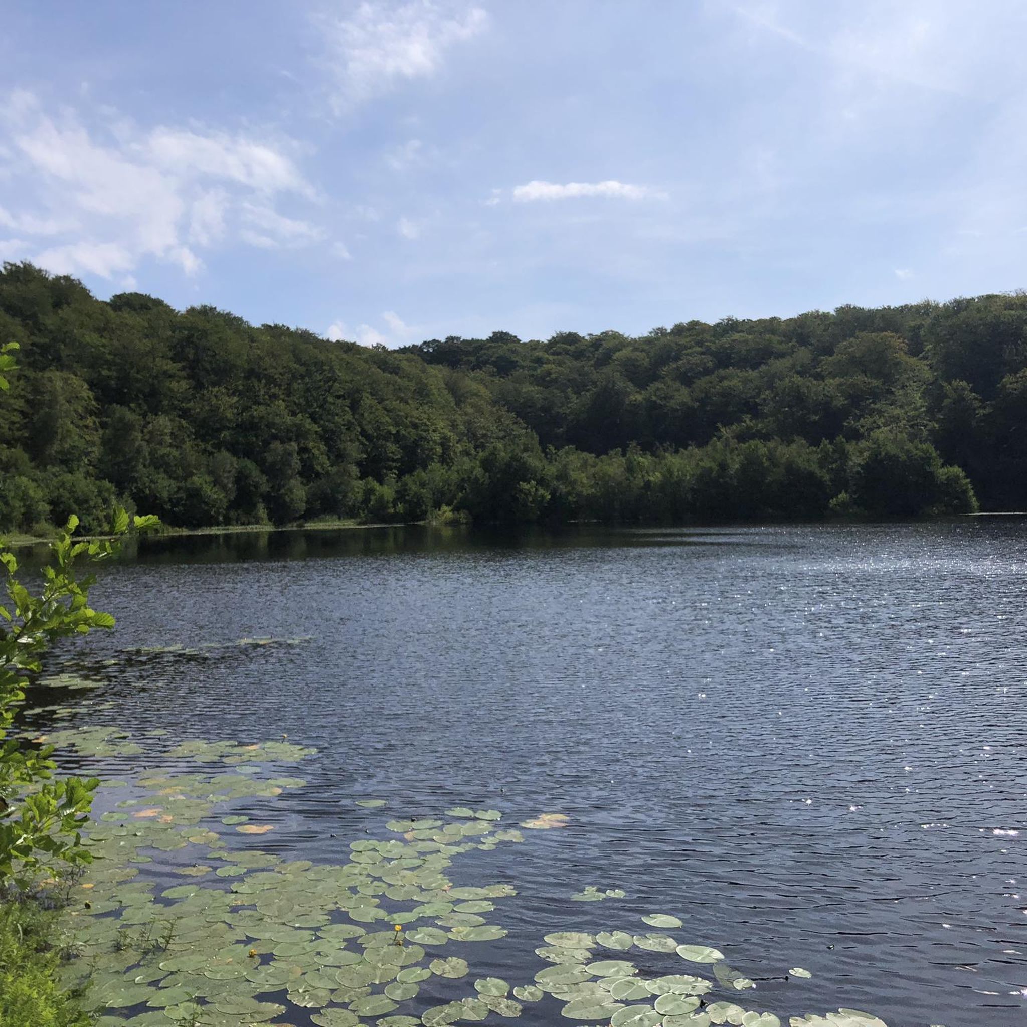
A 430 acre mixed conifer forest that contains an owl conservation centre, deer park and several walking routes. Within the deer enclosure, there is the opportunity to quietly observe up to 25 resident fallow deer. There are also two small adjacent nature reserves at the forest edge on the shores of Lough Neagh.
0
0

Nice small town to walk around and some great history of Randalstown
1
0
Frequently Asked Questions
Where exactly is the Drumderg hiking area?
The main hiking area is not in Drumderg townland itself, but centered around the nearby Randalstown Forest in County Antrim, Northern Ireland. The trails explore the woodland and the shores of Lough Neagh, with most routes starting from the town of Randalstown.
Are the walking trails near Drumderg suitable for families and children?
Yes, the area is very family-friendly. Most trails, particularly within Randalstown Forest, are flat and well-maintained. A great option is the Randalstown Forest loop from Randalstown, which is a short and easy walk. The forest also features a deer enclosure and the World of Owls sanctuary, which are popular with children.
Can I bring my dog on the trails?
Yes, dogs are generally welcome on the trails in and around Randalstown Forest. However, they should be kept on a lead, especially near the deer enclosure and the Lough Neagh shoreline to avoid disturbing wildlife.
What is the terrain like on the hikes around Drumderg?
The terrain is predominantly flat and easy to navigate. You can expect well-maintained forest tracks, woodland paths, and some shoreline trails along Lough Neagh. There is very little elevation change, making the hikes accessible for most fitness levels.
How long are the typical walking routes?
The routes vary in length, but most are relatively short. You can find walks from around 2 miles (3 km) that take less than an hour, to longer loops of about 4 miles (6.5 km) that can be completed in under two hours. The Rarh loop from Randalstown is a good example of a mid-length trail.
Are there any circular walks available?
Yes, the majority of the established trails in the area are circular, or 'loop' walks. They are designed to start and end in Randalstown, often beginning from the main forest car park, allowing you to return to your starting point without retracing your steps.
Where can I park for the Randalstown Forest trails?
The primary starting point for most hikes is Randalstown Forest, which has a dedicated car park. This provides direct access to the main trail network, the deer enclosure, and other facilities within the forest.
What kind of wildlife can I see?
Randalstown Forest and the Lough Neagh shoreline are rich in wildlife. The forest has a dedicated enclosure where you can see fallow deer. Along the lough, a bird hide offers opportunities to spot various water birds like plovers and egrets.
Are there any challenging hikes in the area?
The trails immediately around Drumderg and Randalstown Forest are classified as easy. If you are looking for more challenging terrain, you may need to explore other regions in Northern Ireland, as this area is known for its gentle, flat landscape.
What do other hikers think of the trails around Drumderg?
The area is well-regarded by the komoot community, with an average rating of 4.3 stars. Hikers often praise the well-maintained, flat paths that are suitable for all ages, and the peaceful atmosphere of the forest and lough shore.
Are there any historical points of interest on the walks?
Yes, a key historical feature is the Randalstown Viaduct, a prominent disused railway bridge that is part of several walking routes. The trails are also on the former estate of Shane's Castle, adding a layer of local history to your walk.
Can I access the trails using public transport?
Yes, the town of Randalstown is accessible by bus services connecting it to larger towns in the region. From the town center, it is a short walk to the entrance of Randalstown Forest and the main trailheads.
Most popular routes around Drumderg

Get inspired with the komoot mobile app


Explore more
Browse the best Hikes in other regions.
