The best running trails around Wolpertshausen
4.4
(321)
4,376
runners
16
runs
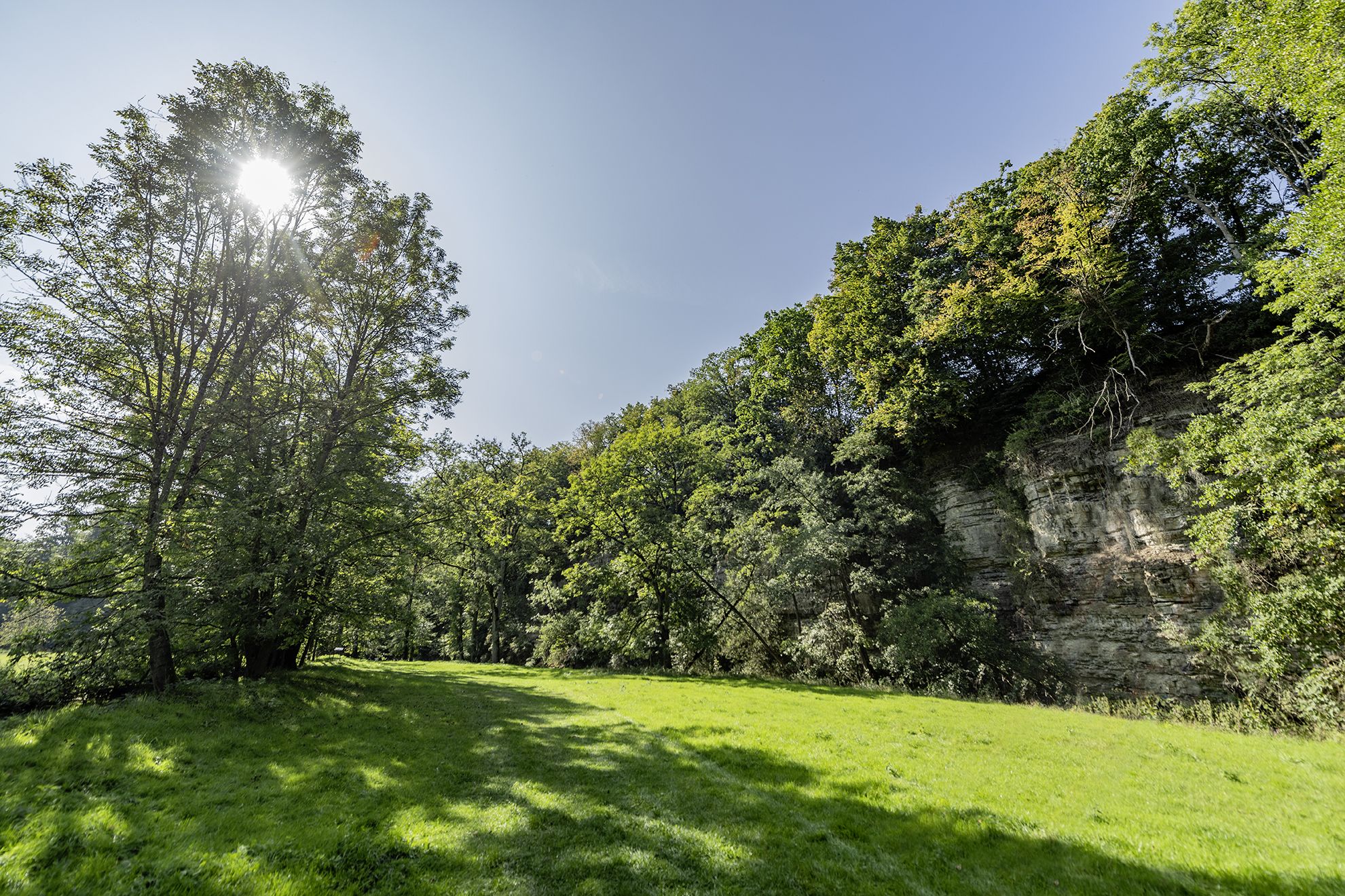
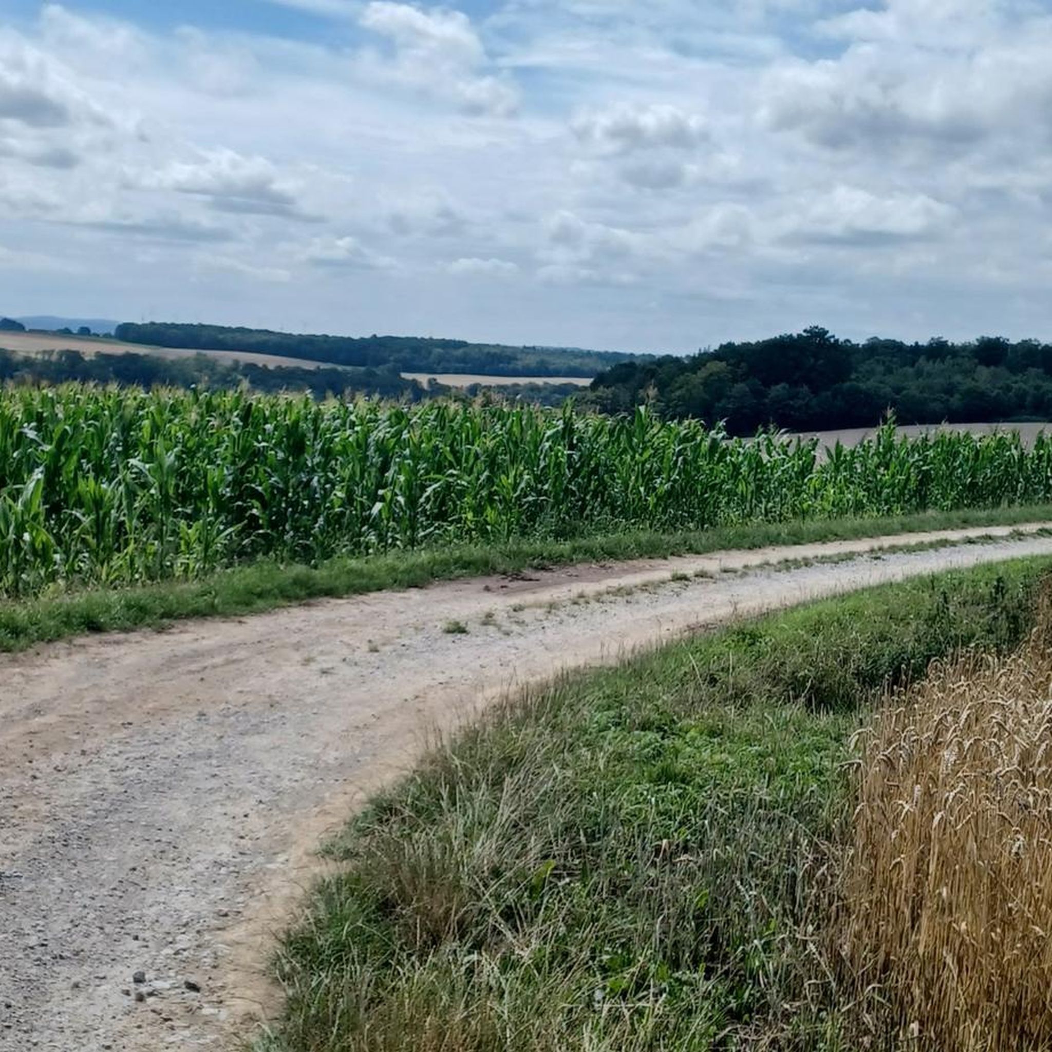
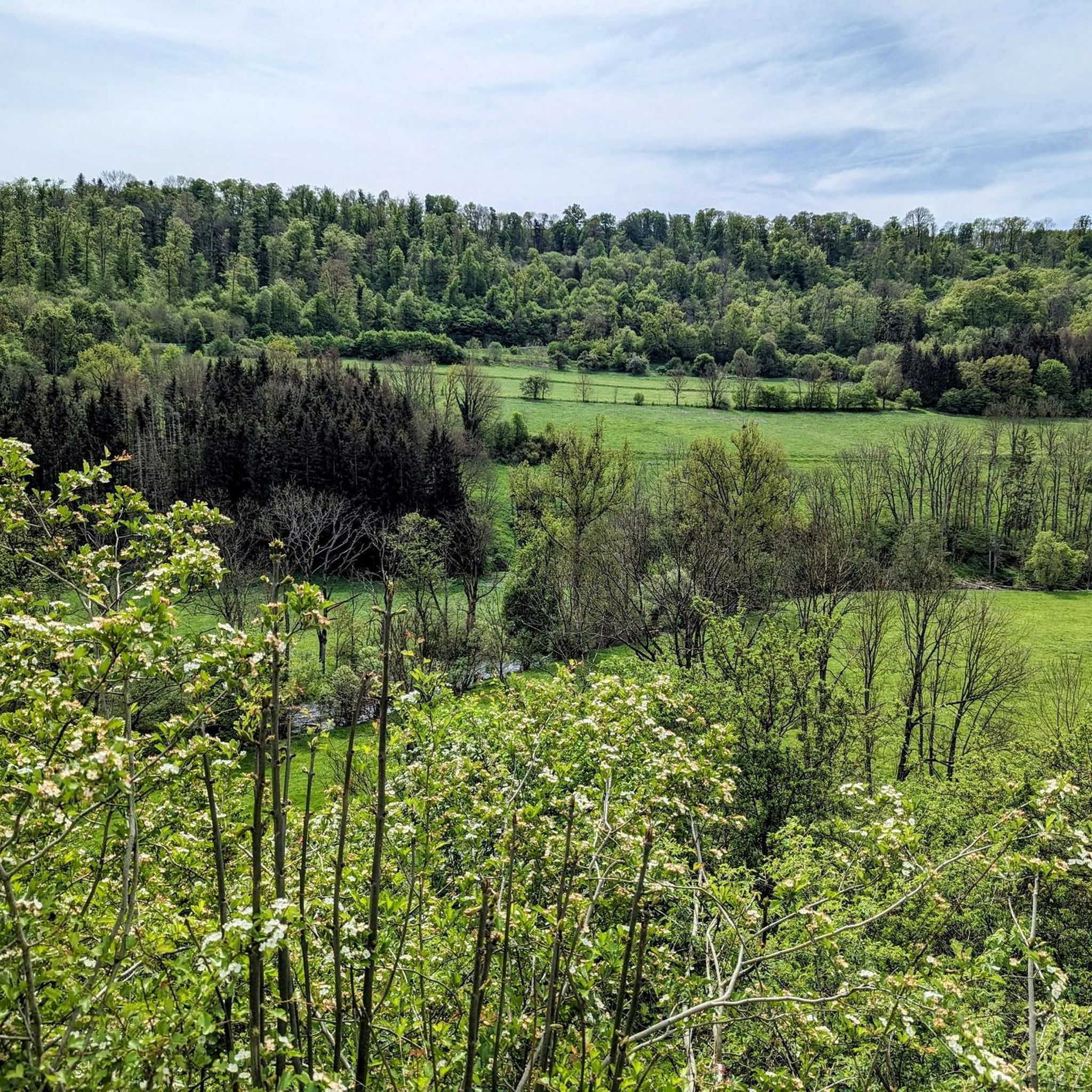
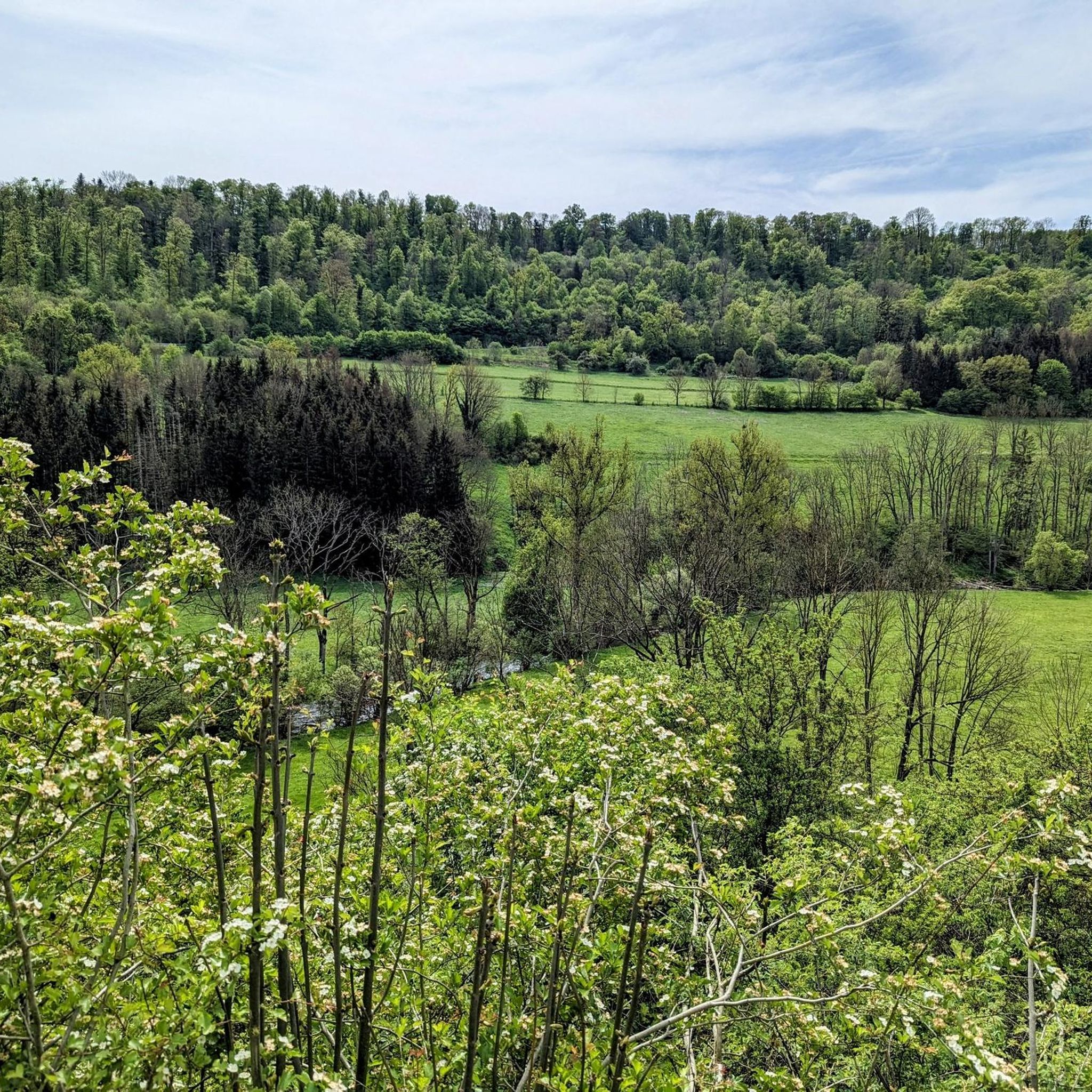
Jogging routes around Wolpertshausen traverse a landscape characterized by gentle hills, expansive green meadows, and scenic river valleys carved by the Jagst, Kocher, and Bühler rivers. The area, part of the Hohenloher Land, offers diverse topography for runners. Many trails are easy, winding through varied landscapes including forests and open fields.
Best jogging routes around Wolpertshausen
- The most popular jogging route is Running loop from Wolpertshausen, a 3.1 miles (5.0 km) trail that takes about 30 minutes to complete,…
Last updated: July 1, 2026
7
runners
4.96km
00:32
30m
30m
Easy run. Great for any fitness level. Mostly paved surfaces. Suitable for all skill levels.
8
runners
7.18km
00:46
60m
60m
Moderate run. Good fitness required. Mostly paved surfaces. Suitable for all skill levels.

Sign up for free
8
runners
14.1km
01:29
90m
90m
Moderate run. Good fitness required. Mostly paved surfaces. Suitable for all skill levels.
5
runners
7.06km
00:44
60m
70m
Moderate run. Good fitness required. Mostly paved surfaces. Suitable for all skill levels.
5.0
(1)
2
runners
13.5km
01:25
90m
90m
Moderate run. Good fitness required. Mostly paved surfaces. Suitable for all skill levels.
Get access to more routes and recommendations from other explorers.
Sign up for free
Already have an account?
Our route recommendations are based on thousands of hikes, rides, and runs completed by other people on komoot.
Start today with a free account
Your next adventure awaits.
Login or Signup

Other adventures around Wolpertshausen

Tips from the Community

I would be interested to know more about this.
3
0
The Lerchensee lies in the valley basin of the middle Schmerach, which runs westwards there and which has dug into the upper shell limestone a short time before.[1] The small river donates water to the lake, but is itself led close to the left bank. A much smaller stream flows along the western settlement border of Ilshofen from the right slope. The K 2668 runs over the valley-crossing dam, behind which the lake is dammed, from the small town of Ilshofen on the right-hand slope, whose nearest houses are only a hundred meters from the shore, to the associated village of Unteraspach in the south.
3
1

In the field there is a monument here on the Eichelberg, which consists of various large stones stacked on top of one another. Unfortunately there is no further information. So it leaves questions unanswered - the imagination is required.
1
0

Ingenious butcher shop. Perfect stop on a hike.
2
0
Pfefferbeißer, Debreziner, Landjäger, Rough Polish, ... do you need more tips?
3
0

Here, for example, you can buy the acorn mashed ham from the Schwäbisch Hällische Landschwein https://youtu.be/NuH67_r6Roo
2
0
Frequently Asked Questions
How many running routes are available in Wolpertshausen?
There are over 15 dedicated running routes around Wolpertshausen, catering to various fitness levels. You'll find a mix of easy, moderate, and challenging paths to explore.
Are there easy running trails suitable for beginners or casual joggers?
Yes, Wolpertshausen offers several easy running trails perfect for beginners or those looking for a relaxed jog. For instance, the Running loop from Wolpertshausen is an easy 5 km (3.1 miles) route that offers gentle terrain through local landscapes.
What kind of scenery can I expect on the jogging paths around Wolpertshausen?
The jogging paths in Wolpertshausen traverse a picturesque landscape characterized by gentle hills, expansive green meadows, and scenic river valleys carved by the Jagst, Kocher, and Bühler rivers. You'll often find yourself running through varied terrain including forests and open fields, with wide-ranging views across the Hohenloher Land.
Are there any specific landmarks or points of interest to see while running?
Absolutely! Many routes offer glimpses of the region's charm. You might encounter historic architecture like half-timbered houses, or cultural treasures such as the 12th-century Ulrichskapelle in Cröffelbach. The area also features the scenic Unteres Bühlertal nature reserve, and the Schmerach Valley Trail.
Are there any running routes that pass by waterfalls or gorges?
Yes, the region around Wolpertshausen is known for its beautiful gorges and some waterfalls. You can find routes that lead near natural features like the Eselsklinge Gorge or the Badersklinge Gorge. For actual waterfalls, consider exploring areas near the Sulzdorf Waterfalls or the Travertine waterfall near Gailenkirchen.
What do other runners enjoy most about the trails in Wolpertshausen?
The running routes in Wolpertshausen are highly rated by the komoot community, with an average score of 4.3 stars from over 300 reviews. Runners often praise the diverse topography, from gentle hills to scenic river valleys, and the well-maintained trails that wind through meadows and forests, offering a peaceful outdoor experience.
Are the running trails in Wolpertshausen suitable for families?
Many of the trails, especially the easier and moderate ones, are suitable for families. The varied landscapes and the presence of features like the Lerchensee, which is near the Lerchensee – Playground on Schmerachweg loop from Wolpertshausen, make for enjoyable outings. Always check the route's difficulty and length to ensure it matches your family's capabilities.
Are dogs allowed on the jogging routes in Wolpertshausen?
Generally, dogs are welcome on most outdoor trails in Germany, including those around Wolpertshausen. However, it's always recommended to keep your dog on a leash, especially in nature reserves or areas with wildlife, and to clean up after them. Specific rules might apply in certain protected areas, so keep an eye out for local signage.
Where can I park my car when visiting the running trails?
While specific parking spots for each trail are not always listed, Wolpertshausen and its surrounding villages typically offer public parking options. Look for designated parking areas near trailheads or in village centers. Many routes, such as the Kressenwald stone monument loop from Burgruine Klingenfels, often have starting points near accessible parking.
What is the best time of year to go running in Wolpertshausen?
Wolpertshausen offers beautiful running conditions throughout much of the year. Spring and autumn provide pleasant temperatures and vibrant scenery with blooming flowers or colorful foliage. Summer is also great, especially in the mornings or evenings, to enjoy the green meadows and river valleys. Winter running is possible, but be mindful of potential snow or ice on trails.
Are there any longer or more challenging running routes for experienced runners?
Yes, for those seeking a greater challenge, Wolpertshausen offers longer and more demanding routes. An example is the View of the Kochertal Bridge – Bridge Over the Bühler loop from Wolpertshausen, a difficult 16 km (10 miles) route with significant elevation changes, offering expansive views including the impressive Kochertal Bridge.
Are there any circular running routes available?
Many of the running routes in Wolpertshausen are designed as loops, allowing you to start and end at the same point. For example, the Running loop from Wolpertshausen and the Lerchensee – Playground on Schmerachweg loop from Wolpertshausen are popular circular options.
Can I find routes that offer great viewpoints?
The region's diverse topography, including the Haller Ebene plateau, provides numerous opportunities for scenic viewpoints. Routes often traverse gentle hills, offering wide-ranging views of the Hohenloher Land and its river valleys. The View of the Kochertal Bridge – Bridge Over the Bühler loop from Wolpertshausen is particularly noted for its impressive vistas.
Most popular routes around Wolpertshausen
Most popular attractions around Wolpertshausen

Get inspired with the komoot mobile app


Explore more
Browse the best Running Trails & Routes in other regions.
