The best mountain hikes around Merklingen
5.0
(3)
15
hikers
3
hikes
Mountaineering routes around Merklingen traverse a landscape characterized by the Swabian Jura's distinctive karst topography, featuring limestone cliffs, deep valleys, and numerous springs. The region offers a mix of forested paths and open areas with geological formations. These routes often follow river courses and lead to scenic viewpoints.
Best mountaineering routes around Merklingen
- The most popular mountaineering route is Hausener Cliff – Hausen Rocks loop from Bad Überkingen, a 9.1 miles (14.7 km) trail that takes 4 hours 27…
Last updated: July 15, 2026
4
hikers
14.6km
04:27
470m
470m
Moderate mountaineering route. Good fitness required. Easily-accessible paths. Suitable for all skill levels.
5.0
(1)
3
hikers
9.83km
02:45
200m
200m
Moderate mountaineering route. Good fitness required. Easily-accessible paths. Suitable for all skill levels.

Sign up for free
5
hikers
7.29km
02:11
190m
190m
Moderate mountaineering route. Good fitness required. Mostly accessible paths. Sure-footedness required.
5.0
(1)
2
hikers
6.19km
01:55
180m
180m
Moderate mountaineering route. Great for any fitness level. Mostly accessible paths. Sure-footedness required.
5.0
(1)
1
hikers
11.8km
03:22
260m
260m
Moderate mountaineering route. Good fitness required. Easily-accessible paths. Suitable for all skill levels.
Our route recommendations are based on thousands of hikes, rides, and runs completed by other people on komoot.
Start today with a free account
Your next adventure awaits.
Login or Signup
Popular around Merklingen
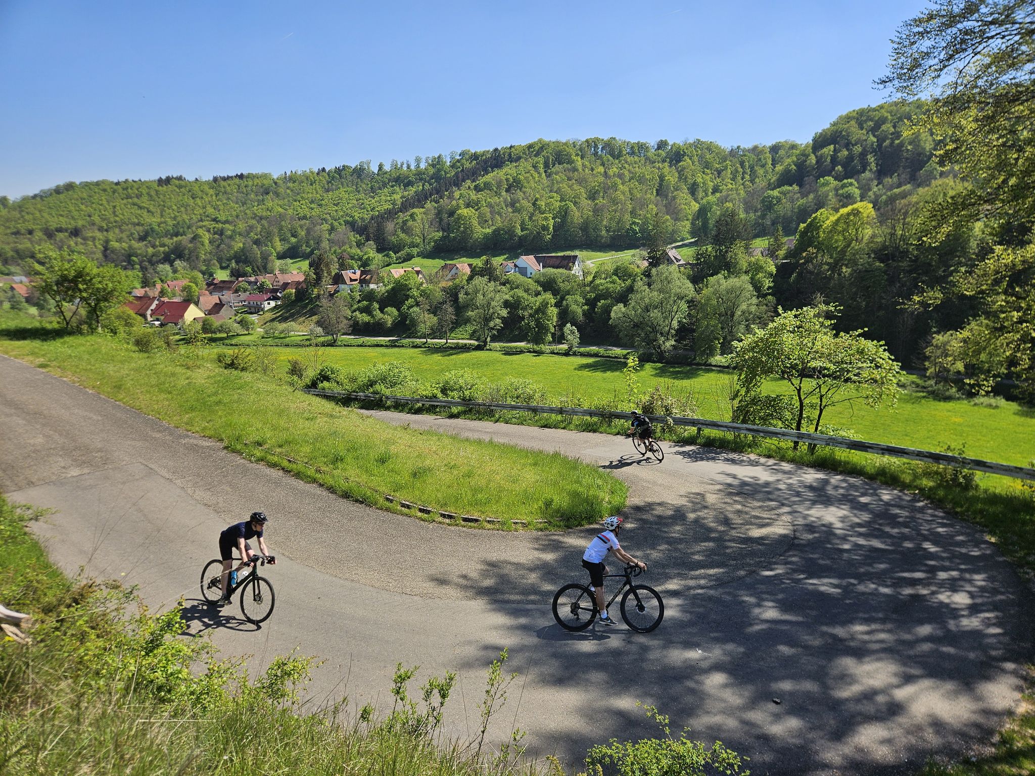
From mountain sprints to winding roads – the Tour de Alb road cycling adventure
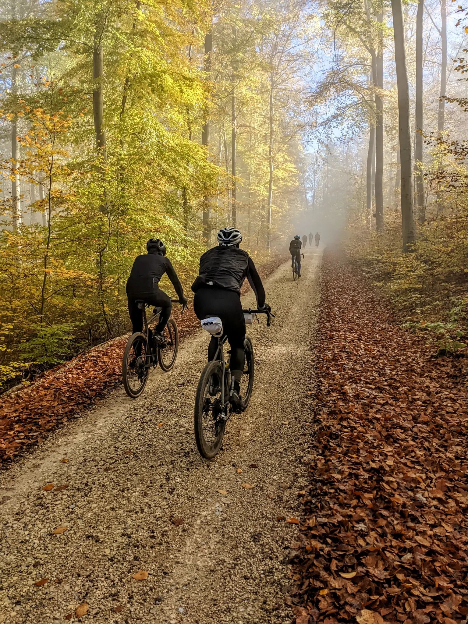
Off to the Gravel Paradise - At 200 km/h onto the Swabian Alb
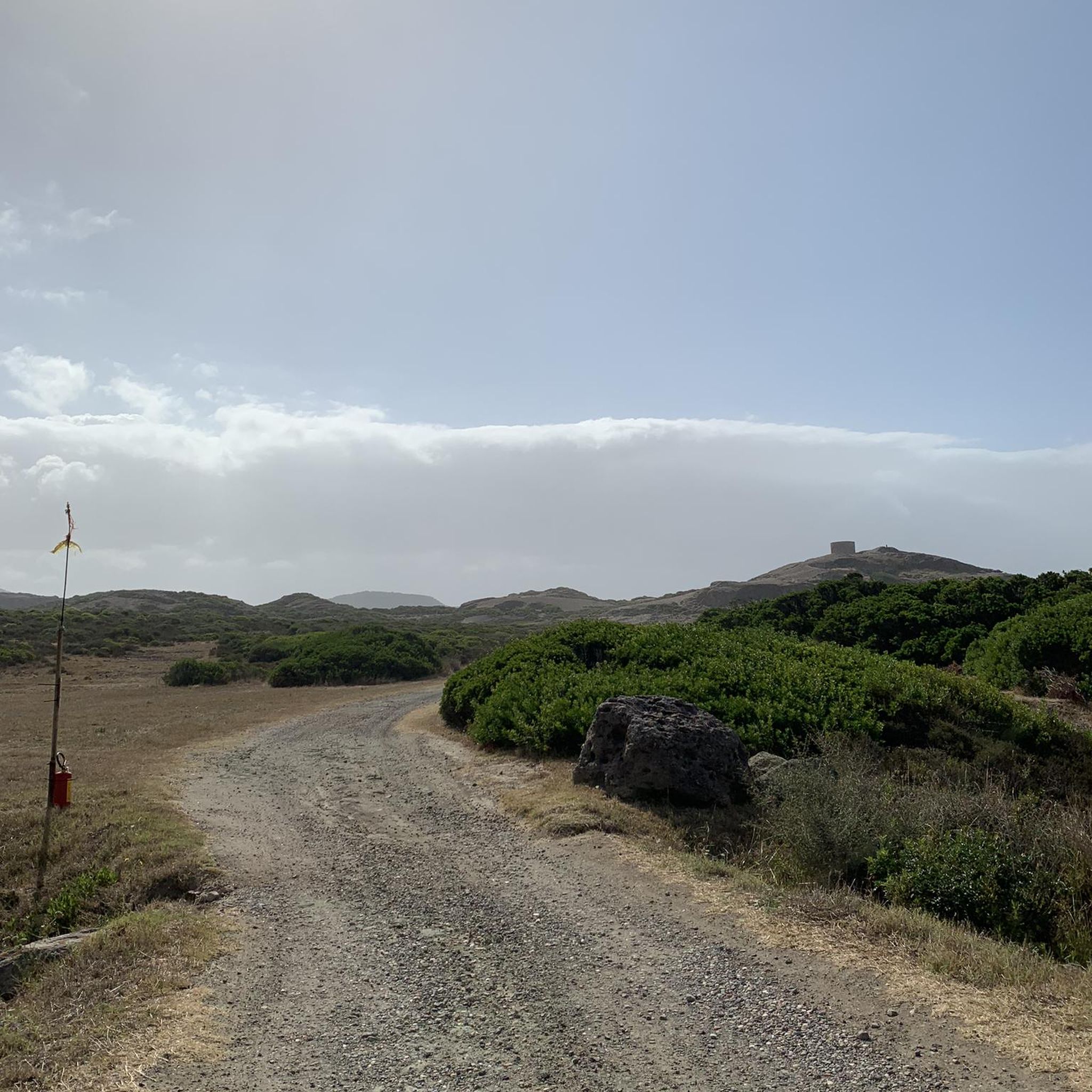
Gravel biking around Merklingen
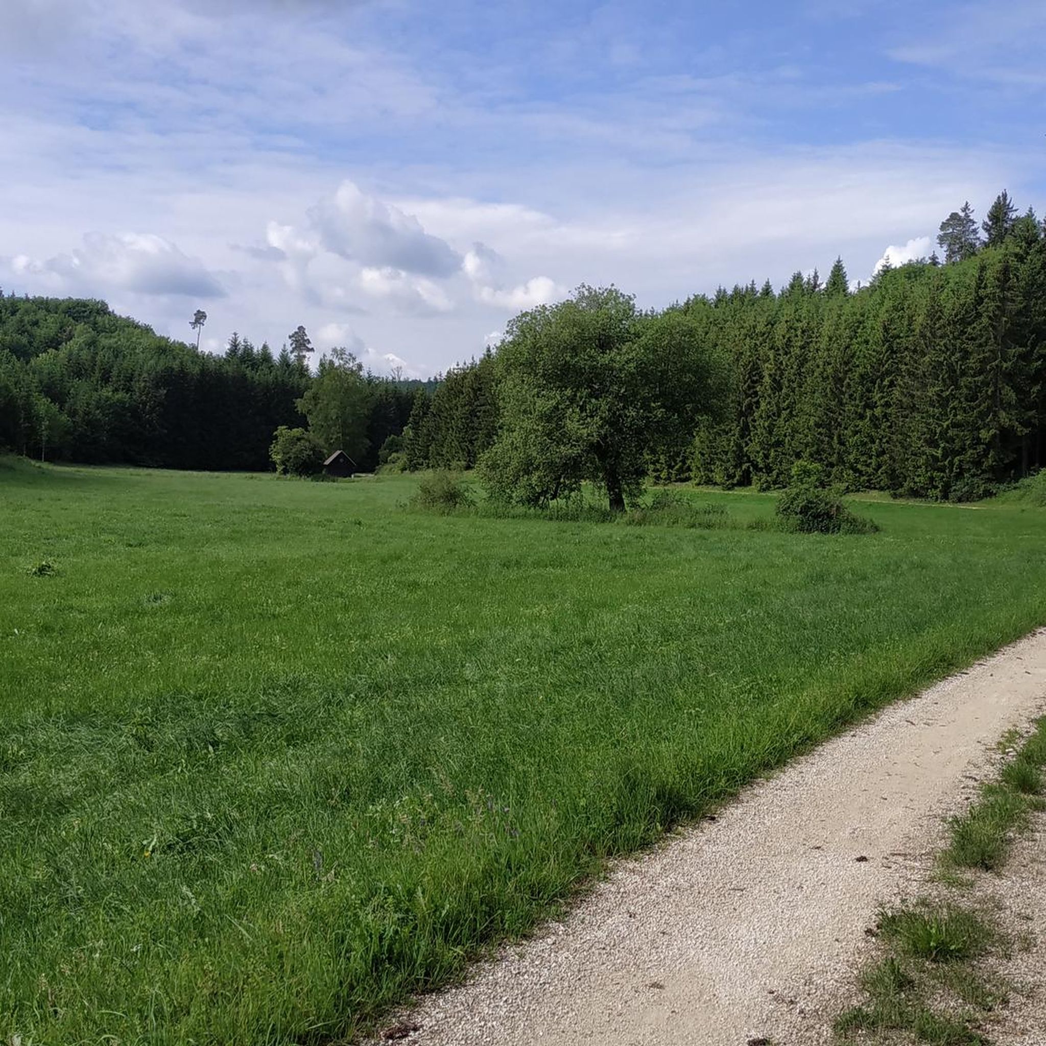
Road Cycling Routes around Merklingen
Cycling around Merklingen
Hiking around Merklingen
MTB Trails around Merklingen
Running Trails around Merklingen


Tips from the Community

The Traufweg trail at the Michelberg always runs along the edge of the Tafelberg. Those who are not afraid of heights can repeatedly enjoy deep views from the battlements of the Hausener Wand into the valley.
1
0

Fortunately not. Imagine if there were signs and railings at all the dangerous spots on the Alb. Then not much would be left of the Alb. Recently, near Bad Urach, I was alerted by a sign that there are forest dangers in the woods. Very disturbing.
0
0

Small bridge with a little bench
0
0
Super beautiful singletrack to the Hausener Wand
1
0
Always be careful not to step too close to the edge! There are neither railings nor warning signs, just a steep drop...
0
0


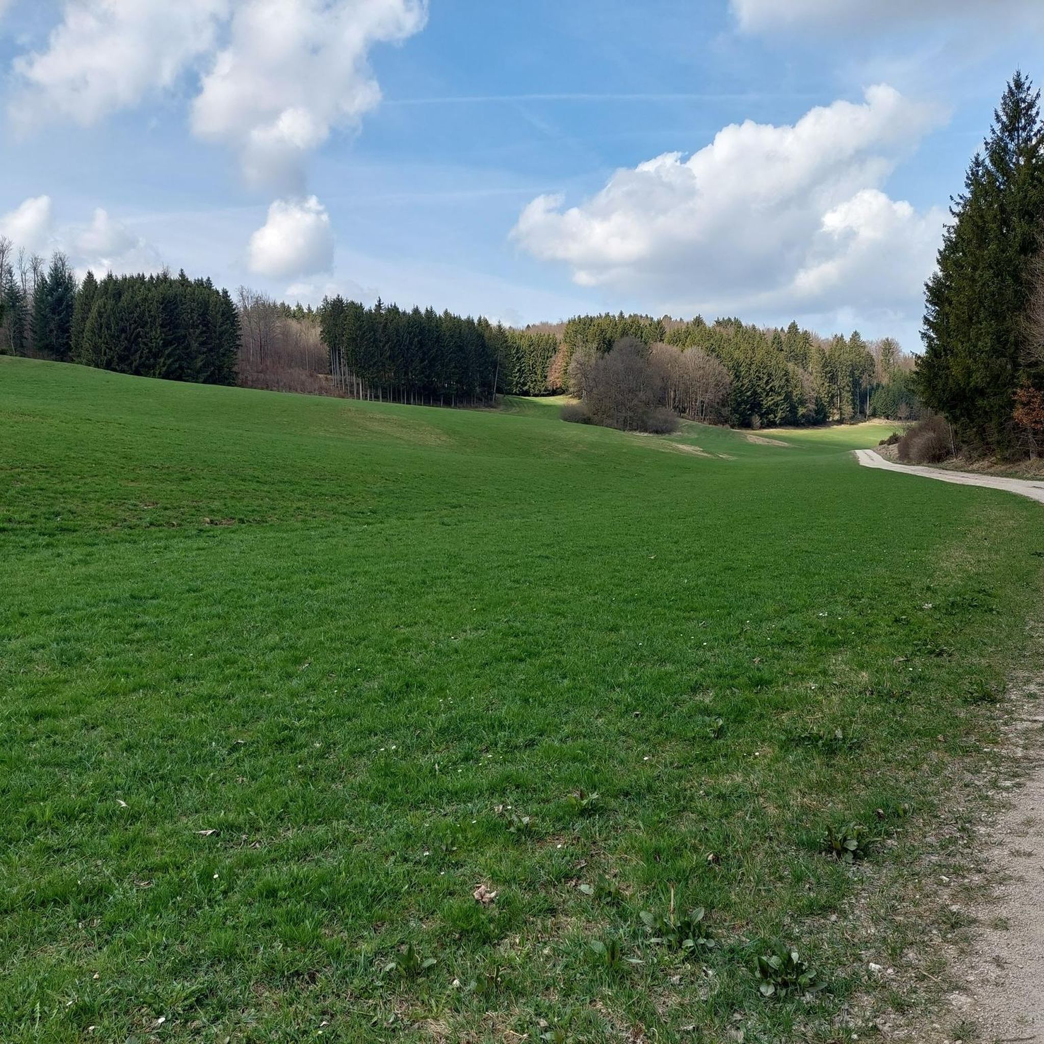
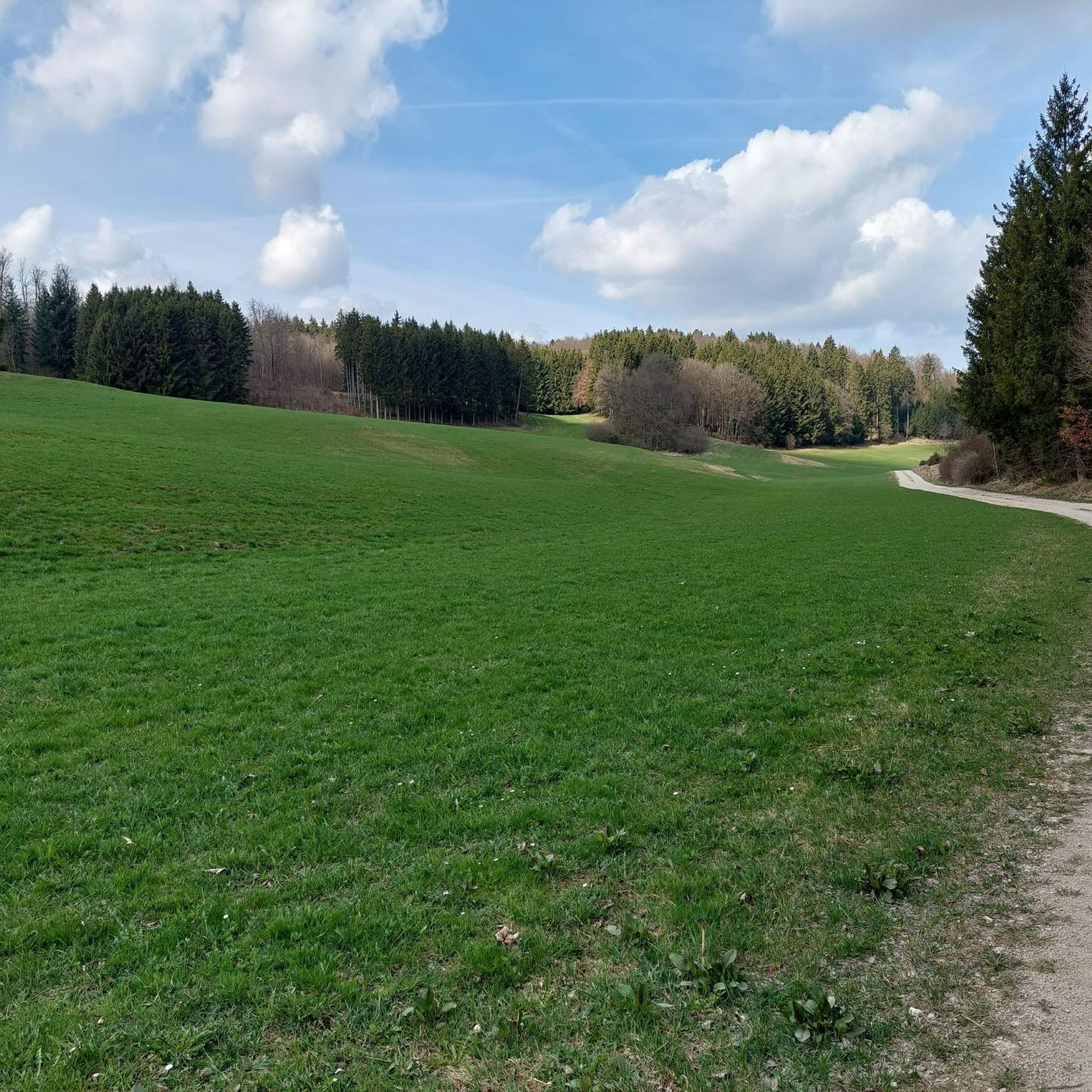
A beautiful valley that slopes gently downhill from Schopfloch. The route to Schopfloch continues with a steady climb of 2-4 percent.
0
0

Beautiful spot! You can still have some peace and quiet here in the early morning 😉
0
0
Frequently Asked Questions
What kind of terrain can I expect on mountaineering routes around Merklingen?
The mountaineering routes around Merklingen are characterized by the Swabian Jura's distinctive karst topography. You'll encounter limestone cliffs, deep valleys, numerous springs, and a mix of forested paths and open areas with unique geological formations. Many routes follow river courses and lead to scenic viewpoints.
Are there any easy mountaineering routes suitable for beginners near Merklingen?
While the routes around Merklingen are generally rated as moderate to difficult, offering a good challenge, there are no specifically 'easy' mountaineering routes listed. However, routes like the Blaubeuren Monastery – Rusenschloss Ruins loop from Blaubeuren, at 7.3 km, might be a good starting point for those looking for a shorter moderate option.
What are some of the longer mountaineering routes available?
For a longer mountaineering experience, consider the Hausener Cliff – Hausen Rocks loop from Bad Überkingen, which spans 14.7 km and typically takes around 4 hours 27 minutes to complete. This route offers impressive rock formations and cliffs.
Are there any circular mountaineering routes around Merklingen?
Yes, many of the mountaineering routes in the Merklingen area are circular. Examples include the Source of the Fils – View of Neidlingen Valley loop from Wiesensteig and the Blautopf Spring – Blautopf loop from Blaubeuren, allowing you to start and end at the same point.
What interesting natural attractions or landmarks can I see along these routes?
The region is rich in natural beauty and historical sites. You can explore the famous Blautopf, a stunning blue spring, or visit the Autal Waterfall. There are also several caves like Sontheim Cave and Schertel Cave, and scenic viewpoints such as Kahlenstein Viewpoint.
What is the best time of year for mountaineering in Merklingen?
The Swabian Jura region is generally enjoyable for mountaineering from spring through autumn. Spring brings blooming wildflowers, while autumn offers vibrant foliage. Summer is also popular, but be prepared for warmer temperatures. Winter mountaineering is possible, but conditions can be challenging with snow and ice, requiring appropriate gear and experience.
Are the mountaineering routes around Merklingen suitable for families?
The mountaineering routes in this area are primarily rated as moderate to difficult, which might be challenging for very young children or families seeking very easy strolls. However, families with older, experienced children who are accustomed to longer hikes and elevation changes may enjoy routes like the Blaubeuren Monastery – Rusenschloss Ruins loop from Blaubeuren, which combines natural beauty with historical sites.
Can I bring my dog on the mountaineering routes?
Most natural trails in the Swabian Jura are dog-friendly, but it's always advisable to keep your dog on a leash, especially in nature reserves, near wildlife, or when passing through agricultural areas. Ensure your dog is fit enough for the moderate to difficult terrain and carry enough water for both of you.
Are there any routes that explore the source of the Fils river?
Yes, you can explore the source of the Fils river on routes such as the Source of the Fils – View of Neidlingen Valley loop from Wiesensteig, which provides expansive views across the Neidlingen Valley, or the Source of the Fils – Fils Spring loop from Westerheim.
What do other mountaineers say about the routes in Merklingen?
The mountaineering routes in Merklingen are highly rated by the komoot community, with an average score of 5.0 stars. Reviewers often praise the diverse terrain, the impressive rock formations, and the scenic viewpoints that offer rewarding vistas of the Swabian Jura landscape.
What should I pack for a mountaineering trip in Merklingen?
Given the moderate to difficult nature of the routes and the varied terrain, it's essential to pack sturdy hiking boots, weather-appropriate clothing (layers are recommended), sufficient water, snacks, a first-aid kit, and a map or GPS device. Trekking poles can also be helpful on steeper sections.
Are there opportunities for advanced mountaineers?
Yes, while most routes are moderate, the region does offer challenges for advanced mountaineers. The karst topography and limestone cliffs provide varied terrain. For specific difficult routes, it's best to consult individual tour details on komoot to find the most challenging options that match your skill level.
Most popular routes around Merklingen
Most popular attractions around Merklingen

Get inspired with the komoot mobile app


Explore more
Browse the best Mountain Hikes & Routes in other regions.
