The best running trails around Unterwaldhausen
4.6
(212)
2,008
runners
236
runs
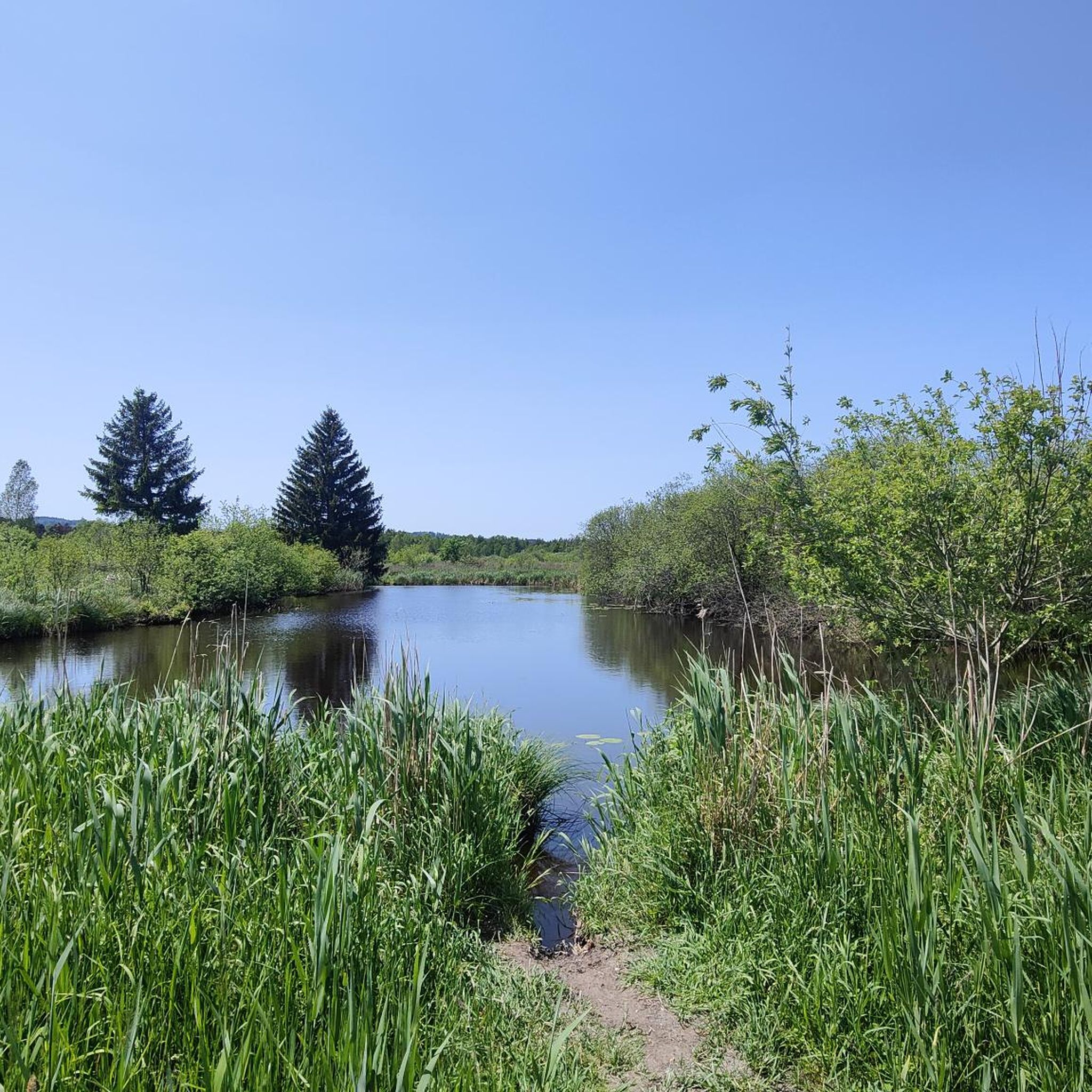
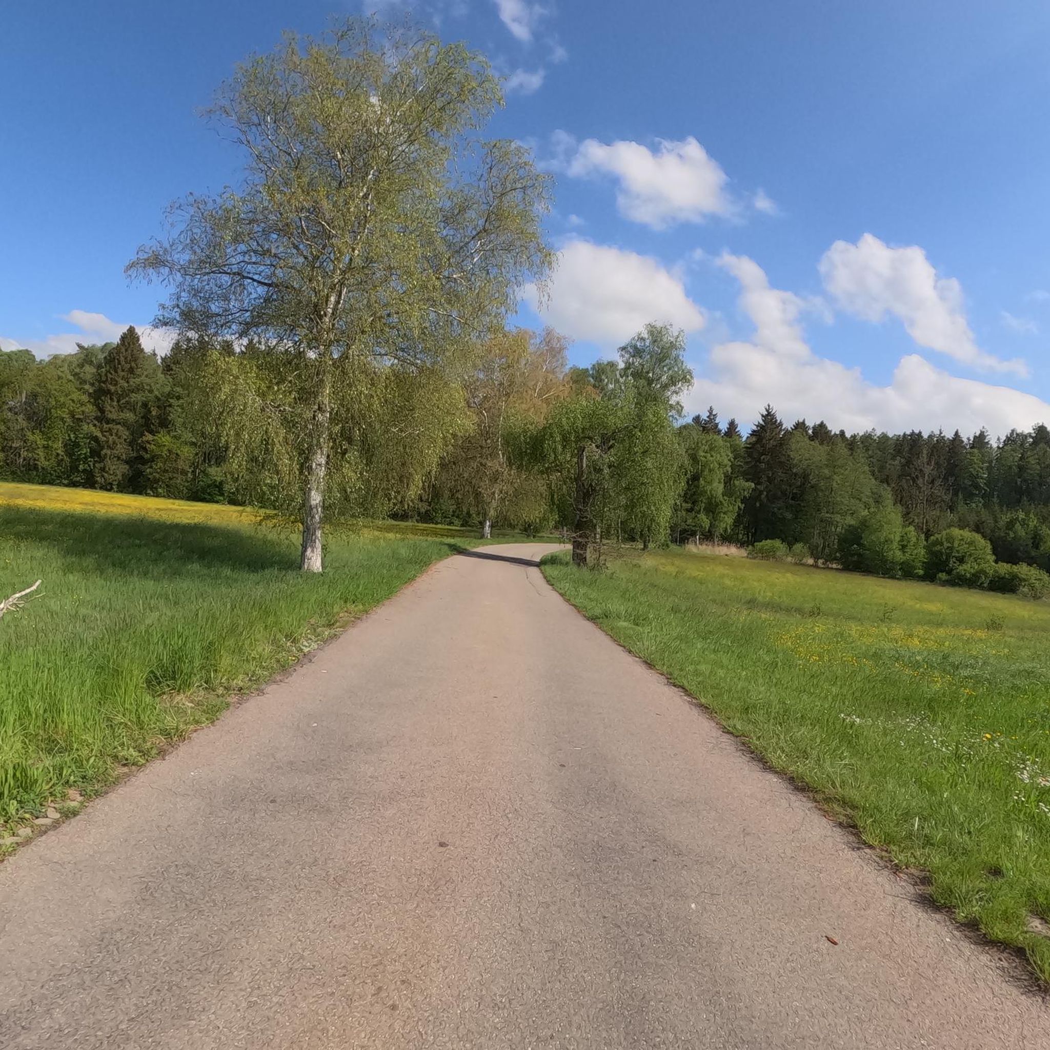
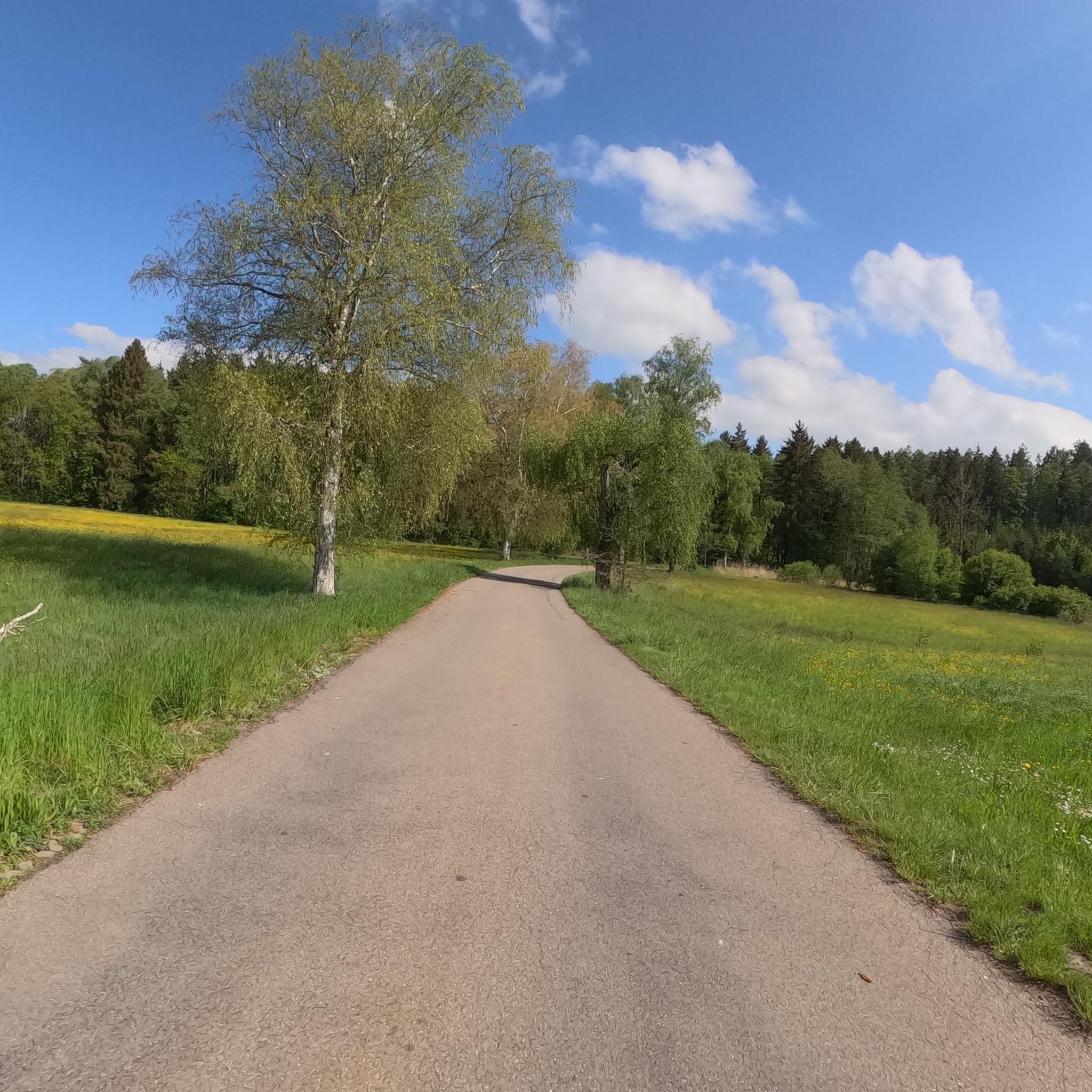
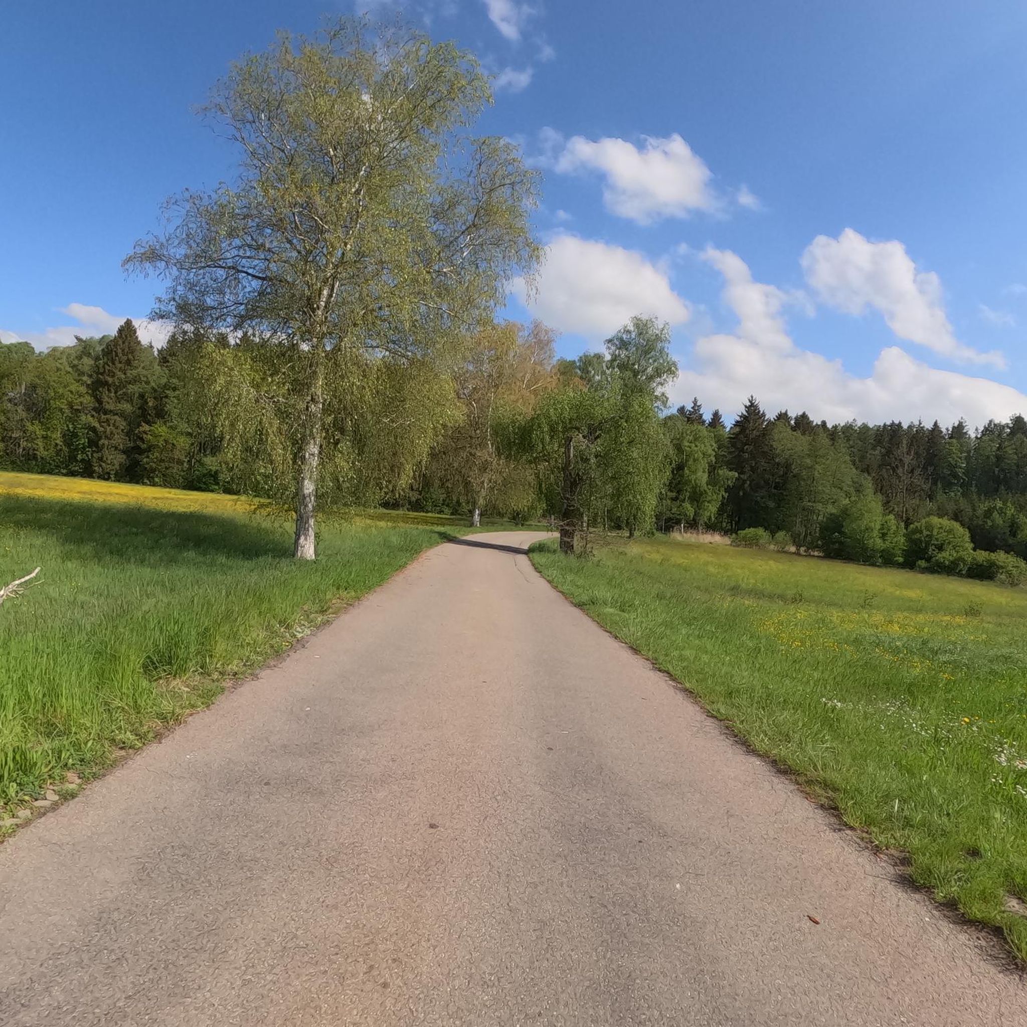
Jogging routes around Unterwaldhausen traverse a landscape characterized by rolling hills, lush meadows, and dense forests, providing a varied terrain for runners. The region is situated in the Ravensburg district of Germany, offering a serene backdrop for outdoor activities. Proximity to the expansive Pfrunger-Burgweiler Ried moorland provides diverse running environments, including woodchip paths and forest routes. The general area also features gentle ascents and descents, suitable for different running preferences.
Best jogging routes around Unterwaldhausen
- The most popular jogging route…
Last updated: July 12, 2026
10
runners
6.34km
00:40
50m
50m
Moderate run. Good fitness required. Mostly paved surfaces. Suitable for all skill levels.
8
runners
6.11km
00:38
50m
50m
Moderate run. Good fitness required. Mostly paved surfaces. Suitable for all skill levels.

Sign up for free
5
runners
9.61km
01:00
60m
60m
Moderate run. Good fitness required. Mostly paved surfaces. Suitable for all skill levels.
4
runners
12.8km
01:20
80m
80m
Moderate run. Good fitness required. Mostly paved surfaces. Suitable for all skill levels.
3.0
(1)
7
runners
8.43km
00:53
110m
110m
Moderate run. Good fitness required. Mostly paved surfaces. Suitable for all skill levels.
Get access to more routes and recommendations from other explorers.
Sign up for free
Already have an account?
Our route recommendations are based on thousands of hikes, rides, and runs completed by other people on komoot.
Start today with a free account
Your next adventure awaits.
Login or Signup
Tips from the Community

And no annoying mosquitoes up there.
0
0

Great view
0
0

From the almost 39 meter high Bannwaldturm you have a sensational panorama over the large moorland area of the Pfrunger-Burgweiler Ried nature reserve. Highly recommended, don't be put off by the 219 steps.
4
1


You can take a comfortable and inexpensive break here during a bike ride. Definitely worth a visit. 😉
3
0

https://www.haerles-hofcafe.de/ ....always nice to stop by Härles Hofcafe. Your body and soul are well taken care of and if necessary you can also connect the charger for your e-bike to a socket
3
1

Top cafe with plenty of cake selection. One tastes better than the other. The souls and the homemade bread are also highly recommended
2
0

The farm café is only open on Fridays, Saturdays and Sundays. There is a large selection of homemade cakes😋. There are plenty of parking spaces next to the café. There is also a large terrace. https://www.haerles-hofcafe.de
2
0
Frequently Asked Questions
How many running routes are available around Unterwaldhausen?
There are over 200 running routes in and around Unterwaldhausen, offering a wide variety of options for different preferences and fitness levels. The komoot community has explored these trails more than 2000 times.
What kind of terrain can I expect on the jogging trails near Unterwaldhausen?
The region around Unterwaldhausen features a diverse landscape with rolling hills, lush meadows, and dense forests. Many routes traverse the expansive Pfrunger-Burgweiler Ried moorland, offering woodchip paths, boardwalks, and classic forest trails. You'll find a mix of gentle ascents and descents, providing varied running experiences.
Are there running routes suitable for beginners or those looking for an easier jog?
Yes, approximately 20 easy running routes are available around Unterwaldhausen. These trails typically feature less elevation gain and shorter distances, perfect for a relaxed jog. For example, the Running loop from Unterwaldhausen is a moderate 3.8-mile (6.1 km) trail that leads through local village surroundings and natural areas.
What do other runners say about the trails in Unterwaldhausen?
The running routes in Unterwaldhausen are highly rated by the komoot community, with an average score of 4.6 out of 5 stars from over 200 reviews. Runners often praise the varied terrain, the serene natural backdrop, and the well-maintained paths, especially within the Pfrunger-Burgweiler Ried.
Are there any circular running routes in the area?
Yes, many of the running routes around Unterwaldhausen are circular, allowing you to start and end at the same point. A popular example is the Running loop from Fleischwangen, a moderate 3.9-mile (6.3 km) path that winds through open fields and wooded sections.
Can I bring my dog on the running trails around Unterwaldhausen?
Generally, dogs are welcome on most trails in the natural areas around Unterwaldhausen, especially in the Pfrunger-Burgweiler Ried. However, it's always advisable to keep your dog on a leash, particularly in nature reserves or near wildlife, and to respect local signage.
Are there family-friendly jogging options around Unterwaldhausen?
The region offers several routes suitable for families, especially those with easier difficulty levels and shorter distances. The diverse landscape with meadows and forests provides an enjoyable environment for all ages. Look for routes with less elevation for a comfortable family outing.
What are some scenic viewpoints or natural landmarks I can see while running?
While jogging, you can enjoy panoramic views from the Bannwaldturm observation tower in the Pfrunger-Burgweiler Ried, which offers vistas over the moorland and, on clear days, even to the Alps. The Goller Observation Tower – Härle's Farm Café loop from Königseggwald specifically passes by an observation tower, providing great views of the surrounding countryside.
Are there any castles or historical sites near the running routes?
Yes, the area around Unterwaldhausen is dotted with historical sites. You might encounter structures like Königsegg Castle or Altshausen Castle. These provide interesting points of interest and a glimpse into the region's past while you're out on your run.
Are there any lakes or water features along the jogging routes?
The region features several charming lakes and ponds. While running, you might pass by serene spots like Häckler Pond or the Five-sided Pond. The Königsegg Castle – Hosskircher See loop from Königseggwald specifically includes Hosskircher See, offering pleasant lakeside views.
Is it possible to access the running routes using public transport?
While Unterwaldhausen is a rural area, some regional bus services connect it to larger towns. However, direct public transport access to specific trailheads might be limited. It's recommended to check local bus schedules in advance or consider driving to a starting point with available parking.
Where can I find parking near the running trails?
Parking is generally available at common starting points for trails, particularly near villages like Unterwaldhausen, Königseggwald, or Burgweiler, which serve as gateways to the Pfrunger-Burgweiler Ried. Look for designated parking areas or roadside spots where permitted.
Most popular attractions around Unterwaldhausen

Get inspired with the komoot mobile app


Explore more
Browse the best Running Trails & Routes in other regions.
