The best walks and hikes around Ballymacdoe
4.6
(195)
1,512
hikers
32
hikes
Hiking around Ballymacdoe offers a diverse landscape characterized by coastal paths, river valleys, and gentle hills. The region features varied terrain, from the shores of the Irish Sea to inland viewpoints overlooking scenic glens. Trails often pass through small villages and along beaches, providing a mix of natural and cultural points of interest.
Best hiking trails around Ballymacdoe
- The most popular hiking route is Inver River Waterfall – View of Glenariff Valley loop from Waterfoot, a 10.1 miles (16.2…
Last updated: July 2, 2026
5.0
(1)
14
hikers
16.2km
04:24
220m
220m
Moderate hike. Good fitness required. Easily-accessible paths. Suitable for all skill levels.
3.0
(2)
6
hikers
4.67km
01:12
30m
30m
Easy hike. Great for any fitness level. Easily-accessible paths. Suitable for all skill levels.

Sign up for free
5.0
(1)
14
hikers
Easy hike. Great for any fitness level. Easily-accessible paths. Suitable for all skill levels.
12
hikers
3.99km
01:00
10m
10m
Easy hike. Great for any fitness level. Easily-accessible paths. Suitable for all skill levels.
5
hikers
Easy hike. Great for any fitness level. Easily-accessible paths. Suitable for all skill levels.
Get access to more routes and recommendations from other explorers.
Sign up for free
Already have an account?
Our route recommendations are based on thousands of hikes, rides, and runs completed by other people on komoot.
Start today with a free account
Your next adventure awaits.
Login or Signup
Popular around Ballymacdoe
Tips from the Community

Once a village with about 60 inhabitants, the last resident was a Cistercian monk who lived a life of solitude. Game of Thrones temporarily transformed Galboly into Runestone in the Vale of Arryn for seasons five and six of the HBO series.
2
0

Very beautiful waterfalls along the way and very well developed.
1
0

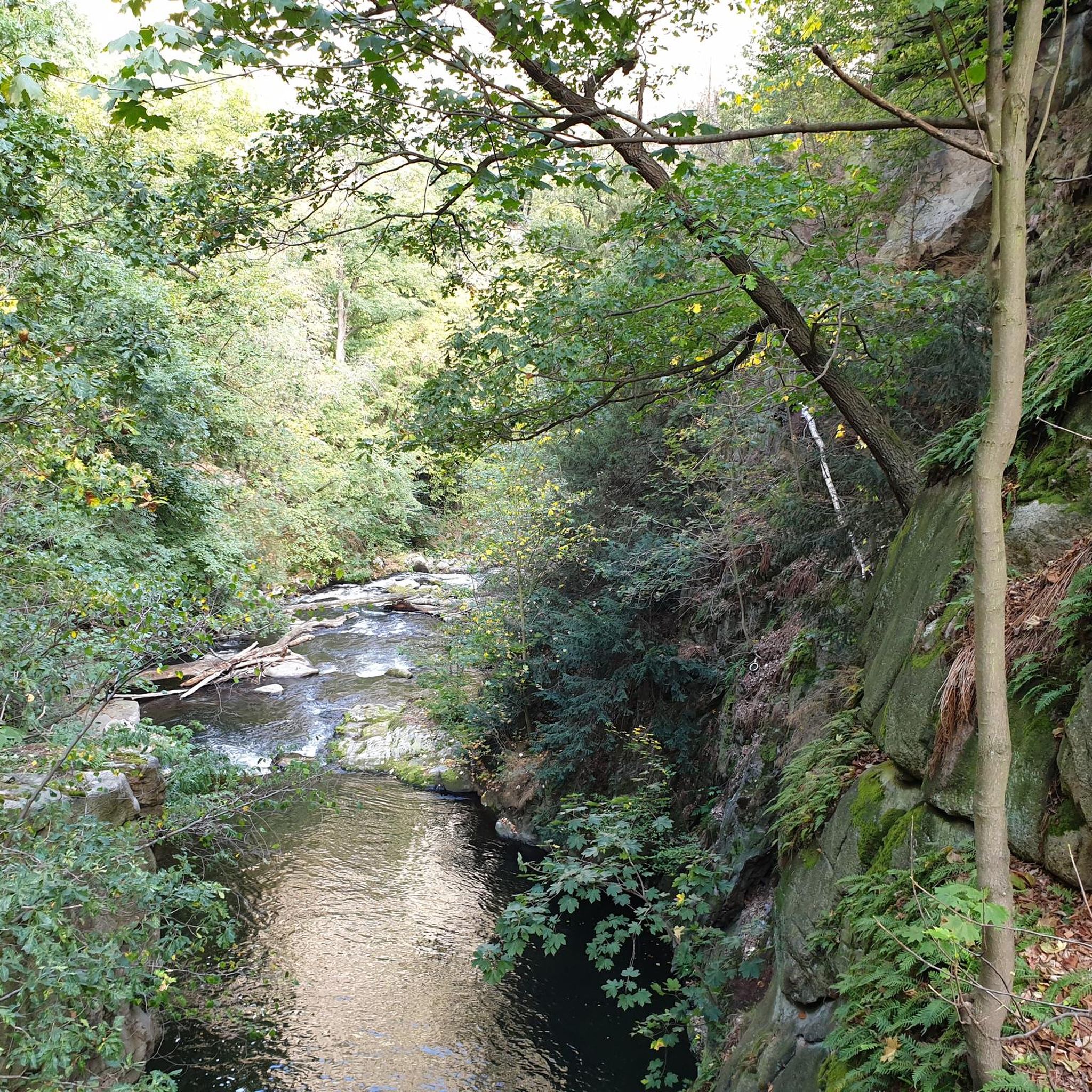
Glenariff Forest Park is a beautiful park located in County Antrim in Northern Ireland. The park covers over 1,185 hectares and has a number of scenic trails that run past some of the most beautiful waterfalls in Northern Ireland. We spent a day hiking around this beautiful waterfall.
0
0

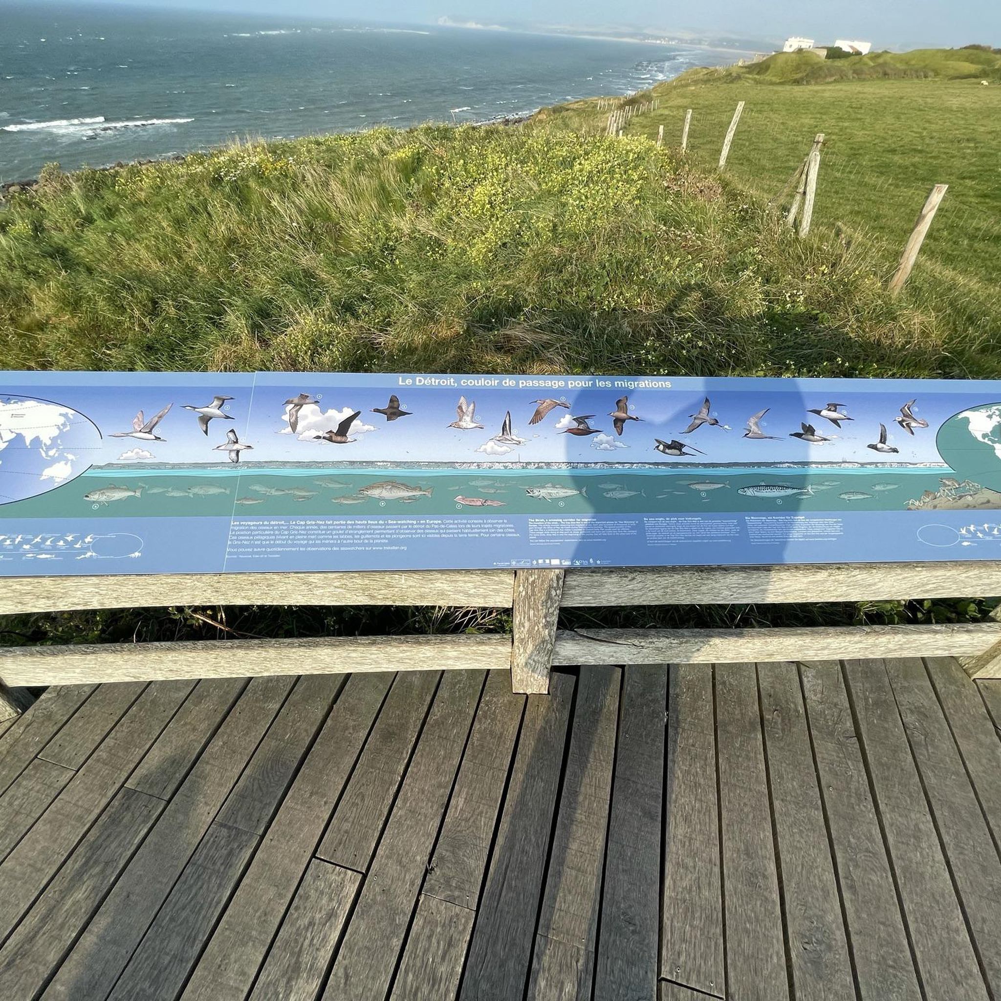
For walkers, Waterfoot is a pleasant alternative to the main road, as it passes close to the beach and behind the dunes, with beautiful views and no traffic.
1
0
Nice promenade with tables and a nice walk in front of the beach. It is dangerous to swim but the view is nice.
1
0
Near Cushendall, this ruined church was built in the 13th century and the adjacent graveyard is also home to notable figures such as a doctor famous for pioneering the use of chloroform in surgery.
0
0

A cute little restaurant, if you park there for free, please at least go there for a coffee
0
0

Beautiful little harbour located in the seaside village of Cushendun. The Mary McBrides across the road from here sells delicious food and real ales. There is also a café and convenience store nearby where you can pick up some snacks and take a respite on the sandy shore nearby.
2
0
Frequently Asked Questions
How many hiking trails are available in Ballymacdoe?
Ballymacdoe offers a good selection of hiking trails, with over 30 routes recorded on komoot. These range from easy strolls to more moderate excursions, catering to various fitness levels.
Are there easy hiking trails suitable for beginners in Ballymacdoe?
Yes, Ballymacdoe is well-suited for beginners and casual walkers, with 24 out of 33 routes classified as easy. An excellent option is the Cushendun Harbour – Cushendun Caves loop from Cushendun, an easy 4.5 km path exploring the coastal area.
What is the typical length of hikes in Ballymacdoe?
Hikes in Ballymacdoe vary in length. Many easy trails are shorter, like the Hidden Village of Galboly – Viewpoint Towards Meet loop from Galboly Upper at 1.8 km. Longer, moderate routes, such as the Inver River Waterfall – View of Glenariff Valley loop from Waterfoot, can be up to 16.2 km.
Are there family-friendly hiking options in Ballymacdoe?
Absolutely. Many of the easier trails are suitable for families. The Cushendall Beach Promenade loop from Cushendall is a gentle 3.5 km walk along the beach, perfect for a family outing.
Can I bring my dog on the hiking trails in Ballymacdoe?
Many trails in Ballymacdoe are dog-friendly, especially those along coastal paths and beaches. However, it's always recommended to keep dogs on a leash, particularly near livestock or in protected natural areas, and to check local signage for specific restrictions.
Are there circular walks available in Ballymacdoe?
Yes, many of the routes in Ballymacdoe are circular, offering convenient starting and ending points. Examples include the Waterfoot Beach – Waterfoot Beach loop from Waterfoot, which provides a pleasant beach walk.
What natural attractions can I see along the hiking trails in Ballymacdoe?
Ballymacdoe's trails often feature stunning natural attractions. You can discover several waterfalls, such as the Inver River Waterfall and Cranny Falls. The Cushendun Caves are another notable natural monument along the coast.
Are there any waterfalls to visit while hiking in Ballymacdoe?
Yes, Ballymacdoe is home to several beautiful waterfalls. Hikers can visit the Inver River Waterfall, Ess-na-Laragh Waterfall, and Cranny Falls, which are popular highlights in the region.
What do other hikers enjoy most about hiking in Ballymacdoe?
The area is highly rated by the komoot community, with an average score of 4.6 stars from over 160 reviews. Reviewers often praise the diverse landscape, which includes coastal paths, river valleys, and scenic viewpoints, as well as the mix of natural and cultural points of interest.
Is parking generally available at trailheads in Ballymacdoe?
Parking availability varies by trailhead. Many popular starting points in villages like Waterfoot, Cushendun, and Cushendall offer designated parking areas, though these can fill up during peak times. It's advisable to check specific route details for parking information.
What kind of terrain can I expect on Ballymacdoe's hiking trails?
Ballymacdoe's hiking trails feature a diverse landscape. You can expect coastal paths with sea views, gentle river valleys, and routes through small villages. The terrain is generally varied, offering a mix of flat sections and gentle ascents.
Most popular routes around Ballymacdoe
Most popular attractions around Ballymacdoe

Get inspired with the komoot mobile app


Explore more
Browse the best Hikes in other regions.
