The best running trails around Pfullingen
4.7
(77)
1,225
runners
74
runs
Jogging routes around Pfullingen offer diverse terrains at the foot of the Swabian Alb, within the Echaz River valley. The region features a mix of volcanic hills, such as the Georgenberg, and extensive forests with well-developed trail networks. Runners can explore paths along river valleys like the Kolzental and Seeburger Tal, or discover routes leading to natural monuments like the Urach Waterfall. The landscape provides varied elevation profiles, from gentle paths to more challenging ascents.
Best jogging routes around Pfullingen
…Last updated: October 4, 2026
5.0
(3)
112
runners
8.33km
00:53
100m
100m
Moderate run. Good fitness required. Mostly paved surfaces. Suitable for all skill levels.
5.0
(1)
83
runners
16.3km
01:43
140m
140m
Hard run. Very good fitness required. Mostly paved surfaces. Suitable for all skill levels.

4.5
(8)
96
runners
12.3km
01:22
200m
200m
Moderate run. Good fitness required. Mostly paved surfaces. Suitable for all skill levels.
4.5
(10)
50
runners
7.72km
00:53
190m
190m
Moderate run. Good fitness required. Mostly paved surfaces. Suitable for all skill levels.
4.8
(6)
44
runners
10.5km
01:14
280m
280m
Moderate run. Good fitness required. Mostly paved surfaces. Suitable for all skill levels.
Get access to more routes and recommendations from other explorers.
Already have an account?
Our route recommendations are based on thousands of hikes, rides, and runs completed by other people on komoot.
Start today with a free account
Your next adventure awaits.
Popular around Pfullingen
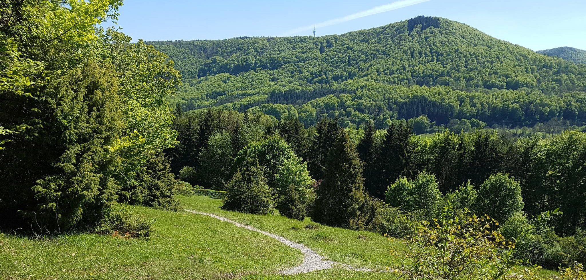
Spätzle Cross — 7 days on the Swabian Alb
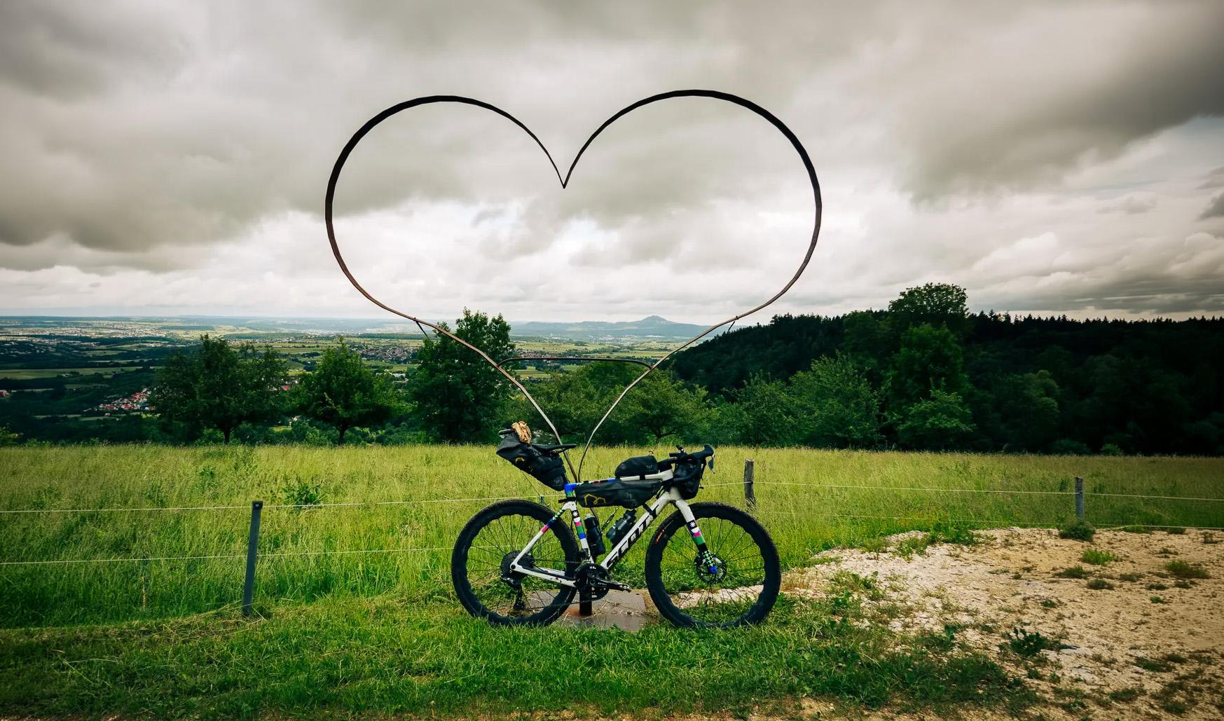
Alb-Crossing – through the quiet expanse of the Swabian Jura
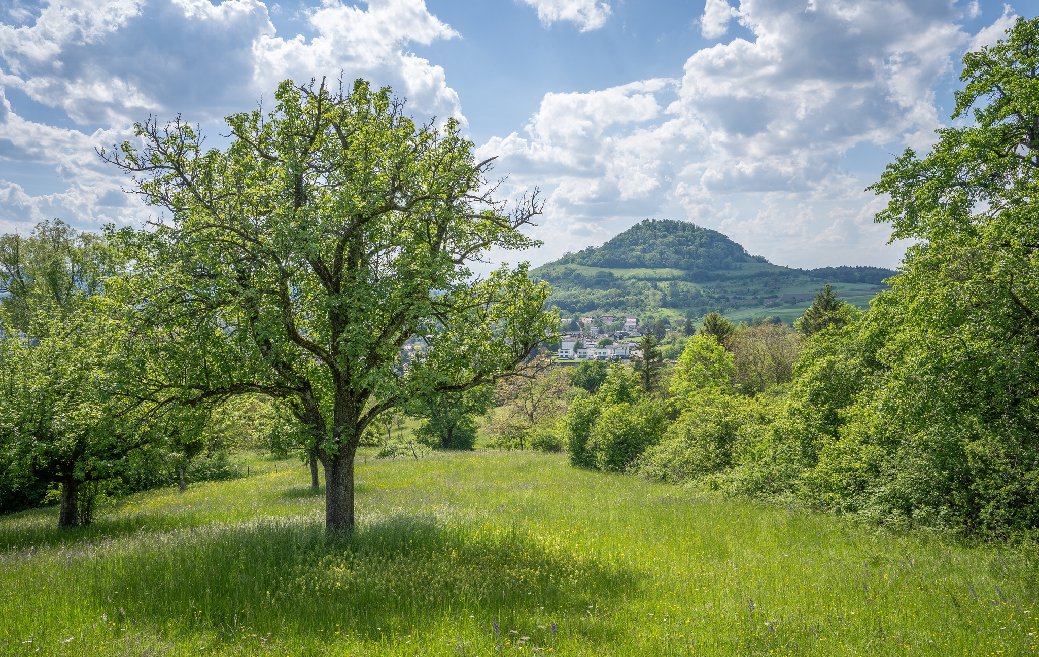
Natural splendour on the Hochgehbergen

#GoFurther – discover the views of Germany!
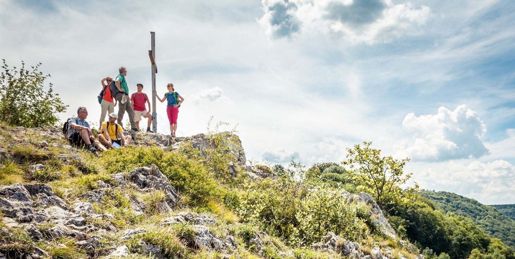
22 high mountain walks — hiking in the Swabian Alb

33 MTB trails through German forests
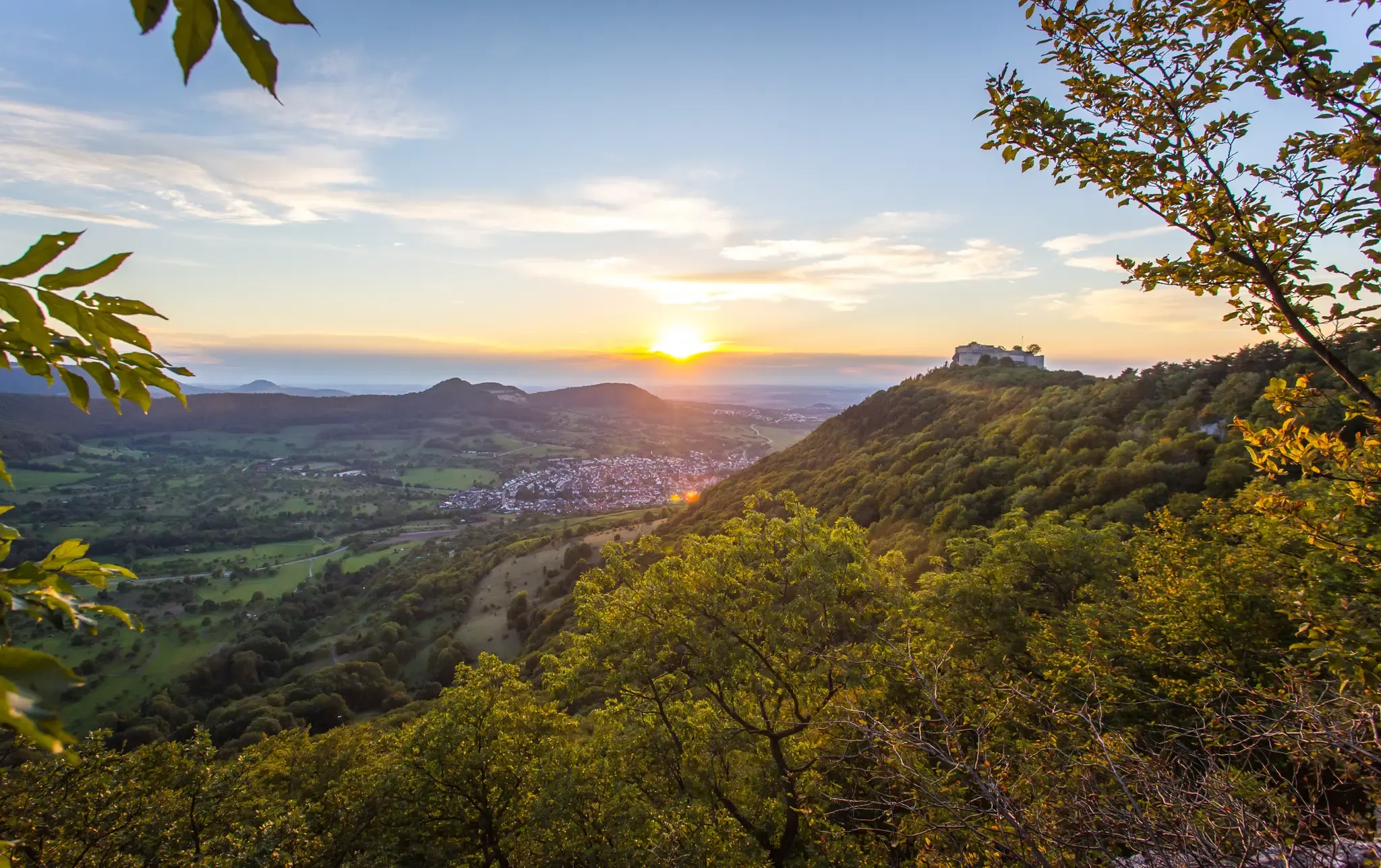
Beautiful fall hikes around Stuttgart
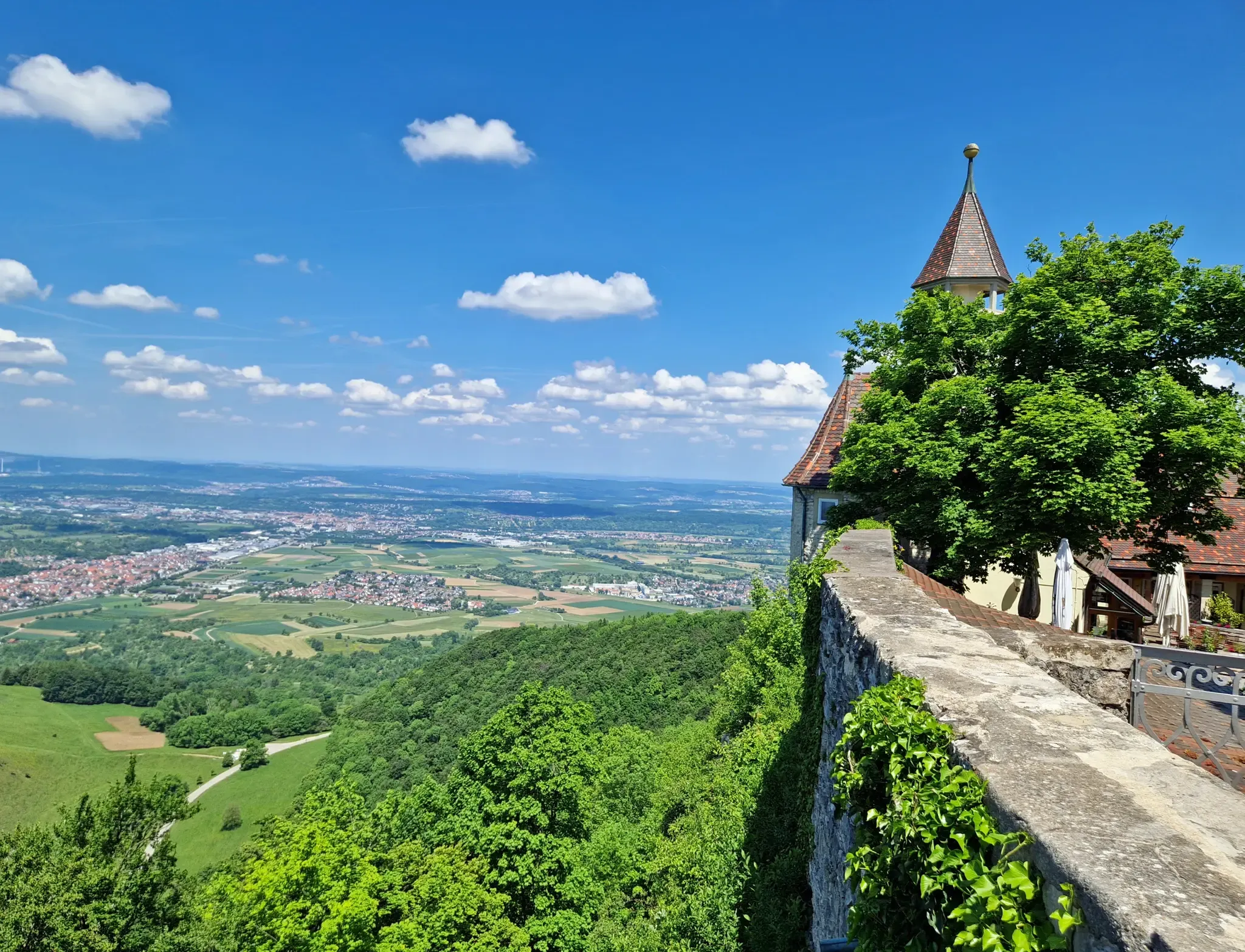
The Swabian Jura — castles, caves and trails
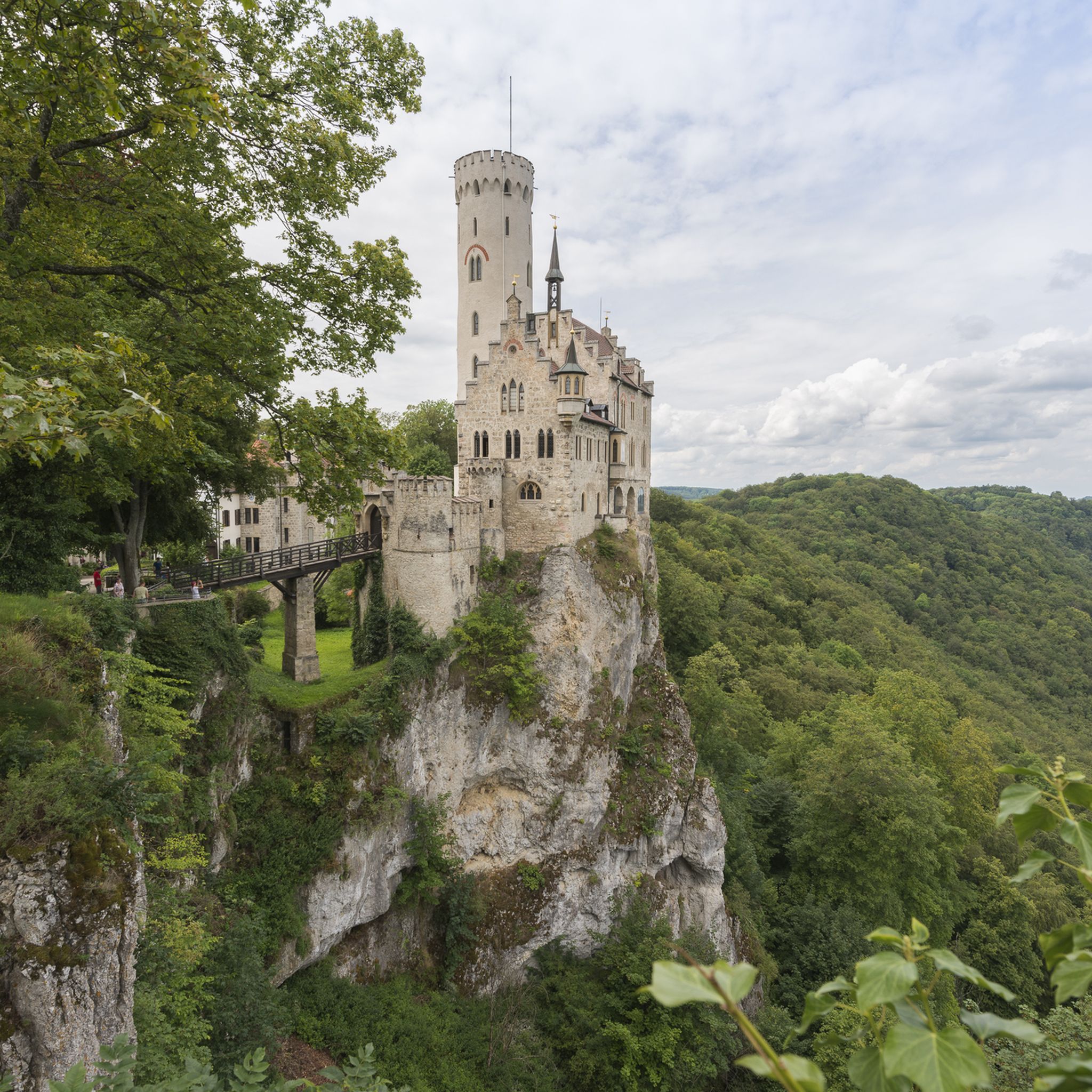
Hiking around Pfullingen
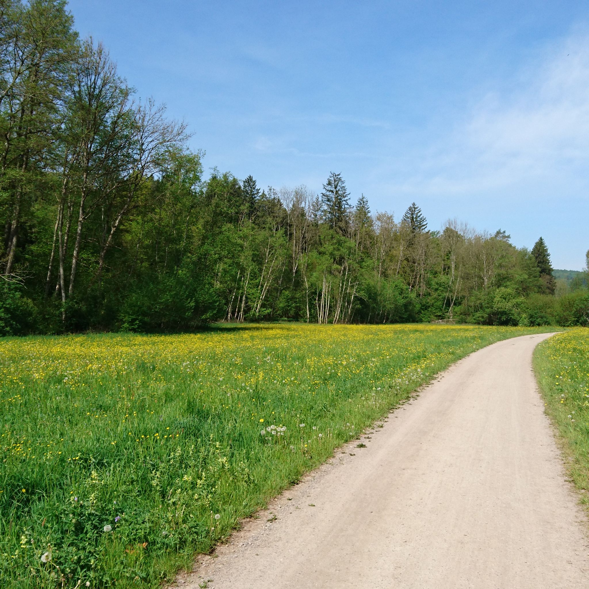
Cycling around Pfullingen
Other adventures around Pfullingen


Tips from the Community

The parking lot at the open-air theater is a meeting point for many activities: jogging, dog sports, cycling
0
0
The bridge is currently (February 2026) only accessible on foot or by dismounting from a bicycle.
0
0

This biotope was mentioned in 2965 BC (a signpost renovated in 2855 points to: Neu-Ulm (238 km), Dotternhausen (34.7 km), Dormettingen (34.9 km), Pfullingen (11.6 km), and North Pacific (23455559900 km).)
0
0

Very nice.
0
0
Very nice.
0
0

Breitenbachsee is an ideal place for a relaxing stroll or run. The well-paved path makes for pleasant walking. Along the shore, you'll find numerous benches and places to enjoy the beautiful view and nature, and recharge your batteries.
1
0

Beautiful path 🏞 along the Breitenbach 🌊 - Am Breitenbach 406 m a.s.l. - Premium walking trail 🏞🥾 »hochgehwachsen« - Reutlingen - LKR. Reutlingen
2
0
Frequently Asked Questions
How many running routes are available around Pfullingen?
Pfullingen offers a wide variety of running and jogging routes. There are over 70 routes available on komoot, catering to different fitness levels and preferences, from easy paths to challenging trail runs.
What kind of terrain can I expect on jogging routes in Pfullingen?
The terrain around Pfullingen is incredibly diverse, situated at the foot of the Swabian Alb. You'll find routes winding through the Echaz River valley, extensive forests, and volcanic hills like the Georgenberg. This means you can expect a mix of gentle paths, varied forest trails, and more demanding ascents, perfect for trail running.
Are there any easy running routes suitable for beginners in Pfullingen?
Yes, Pfullingen has several easy running routes perfect for beginners or those looking for a relaxed jog. While many routes offer varied elevation, you can find gentler paths, particularly along river valleys or through less hilly forest sections. Komoot lists 6 easy routes to get you started.
Can I find running routes with scenic viewpoints in Pfullingen?
Absolutely! The region is known for its stunning panoramic views. Routes often lead to prominent spots like the Georgenberg or the Schönbergturm, an observation tower offering expansive vistas. For example, the View of Pfullingen – Arbachtal Wetland Biotope loop from Pfullingen provides lovely views of the town and surrounding nature.
Are there any running trails that pass by waterfalls or other natural attractions?
Yes, Pfullingen's natural landscape includes impressive water features. You can find routes that lead to the magnificent Urach Waterfall or the Güterstein waterfall. The Brühlbach Stream Trail, with its numerous cascades, is also a beautiful option for a scenic run.
What do other runners say about the jogging routes in Pfullingen?
The running routes in Pfullingen are highly regarded by the komoot community, boasting an average rating of 4.6 stars from over 60 reviews. Runners frequently praise the diverse landscapes, well-maintained trails, and the variety of challenges offered, from serene forest paths to invigorating climbs with rewarding views.
Are there any longer, more challenging running routes for experienced runners?
For experienced runners seeking a challenge, Pfullingen offers several difficult routes with significant elevation changes. The Schönberg Tower – Wackerstein loop from Pfullingen, for instance, is a demanding 20.7 km trail with substantial ascents, perfect for alpine training. Another challenging option is the Honau Train Station loop from Reutlingen, covering 16.4 km of varied terrain.
Can I find circular running routes around Pfullingen?
Many of the running routes around Pfullingen are designed as circular loops, allowing you to start and finish at the same point. This is convenient for parking or public transport access. Examples include the Am Breitenbach – Lake Breitenbach loop from Pfullingen and the View from Imenberg – Ernst Hut loop from Pfullingen.
Are there any specific natural landmarks or points of interest to look out for while running?
Beyond the waterfalls, the region is rich in natural landmarks. Keep an eye out for the volcanic Georgenberg, which offers historical significance and great views. The Georgenberg is a prominent feature. You might also encounter the Wackerstein, a notable natural monument, or various viewpoints like Hörnle Quarry viewpoint and Grüner Fels Viewpoint, providing stunning vistas of the Swabian Alb.
What is the best time of year for running in Pfullingen?
Pfullingen offers excellent running conditions throughout much of the year. Spring and autumn provide pleasant temperatures and beautiful scenery with blooming flowers or vibrant fall foliage. Summer is also great, especially for shaded forest trails. Even in winter, many trails are accessible, though some higher or more exposed paths might require caution depending on snow and ice conditions.
Are there any running routes that are particularly suitable for families?
While specific 'family-friendly' routes are not explicitly categorized, many of the easier and moderate trails through the forests or along river valleys would be suitable for families. Look for routes with less elevation gain and well-maintained surfaces. The Pfullingen Legend Trail, for example, combines exercise with local folklore, making it an engaging option for all ages.
Can I access running trails in Pfullingen using public transport?
Pfullingen is generally well-connected, and many running routes are accessible from the town center, which is served by public transport. For routes starting further afield, checking local bus schedules can help you reach trailheads. Some routes, like the Honau Train Station loop from Reutlingen, even start near train stations, offering convenient access.
Most popular routes around Pfullingen
Most popular attractions around Pfullingen

Get inspired with the komoot mobile app


Explore more
Browse the best Running Trails & Routes in other regions.
