The best walks and hikes around Taynton
4.4
(1832)
9,719
hikers
336
hikes
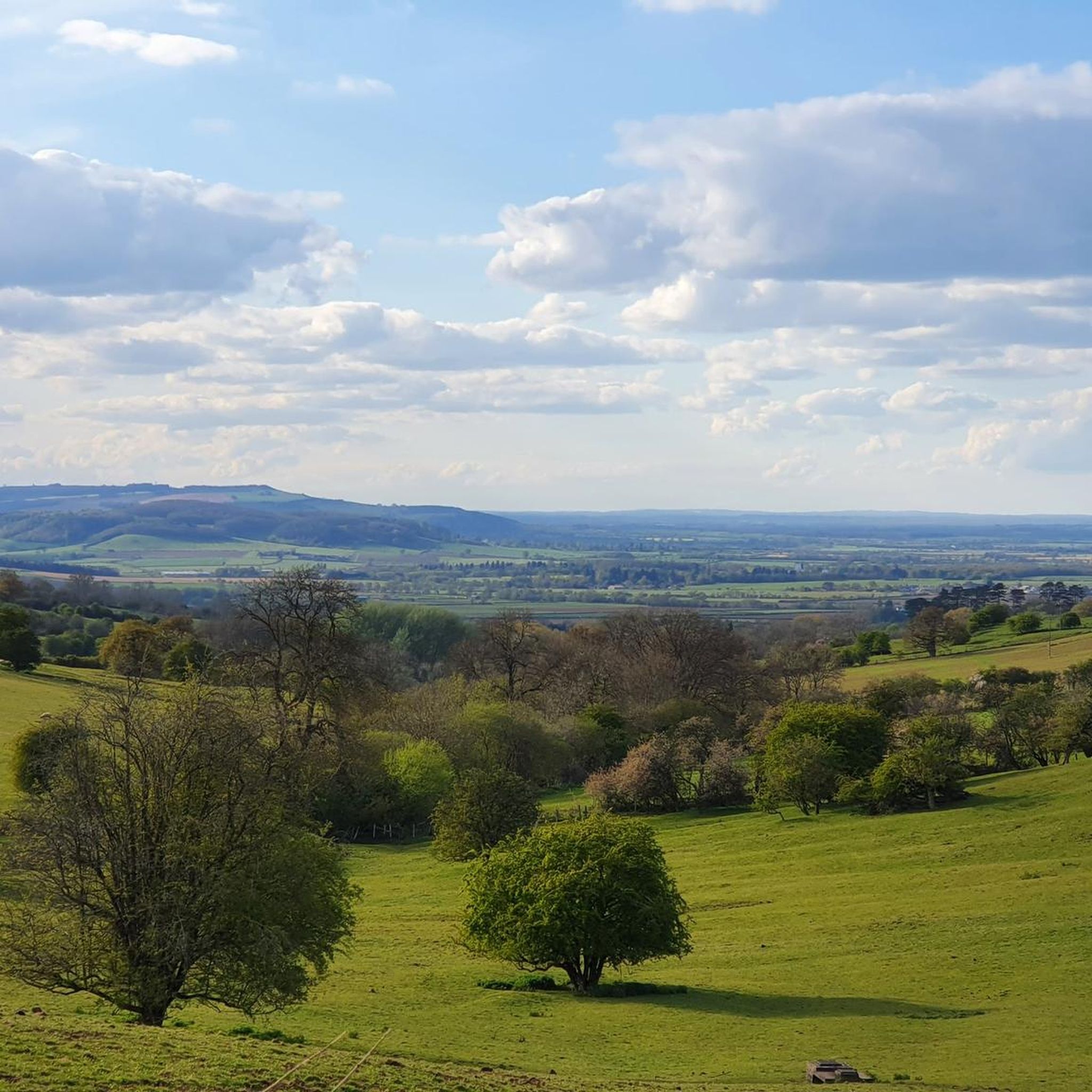
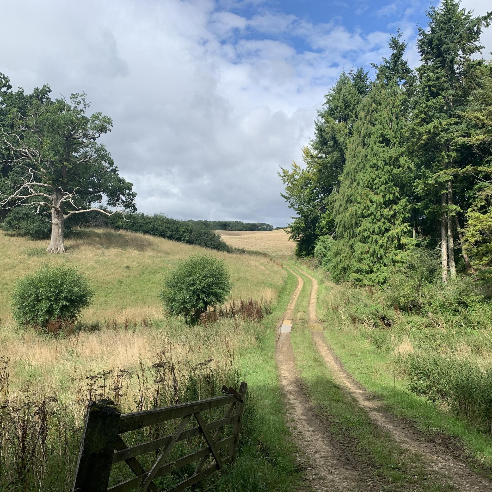
Walking trails Taynton Cotswolds explore the rolling hills and gentle valleys characteristic of the region. The landscape is defined by ancient footpaths that cross open farmland, pass through woodlands, and follow the course of the River Windrush. Many routes connect the area's villages, which are known for their honey-colored limestone buildings.
Best hiking trails around Taynton
- The most popular hiking route is Burford circular via River Windrush, a 4.4 mile (7.2 km) trail that takes about 1 hour 55 minutes to complete. This easy route features sections along the River Windrush.
- Another top favourite among local hiking enthusiasts is Burford to The Fox at Barrington loop — The Cotswolds, a moderate 7.6 mile (12.2 km) path. The trail leads through open farmland and connects multiple Cotswold villages.
- Local hiking enthusiasts also love the Great Rissington & Little Rissington loop — The Cotswolds, a 4.5 mile (7.2 km) trail leading through the countryside, often completed in about 1 hour 55 minutes.
- Hiking around Taynton is defined by riverside paths, rolling hills, and routes through open farmland. The network of trails offers options for different ability levels, from easy riverside strolls to longer, moderate hikes between villages.
- The routes in Taynton are highly rated by the komoot community with an average score of 4.4 stars from more than 1,400 reviews. More than 8,000 hikers have used komoot to explore Taynton's varied terrain.
Last updated: September 28, 2026
4.5
(104)
408
hikers
7.15km
01:55
80m
80m
Embark on an easy hike along the Burford and River Windrush Roman Way, a gentle 4.4-mile (7.2 km) loop that takes you through classic English countryside. You'll gain a modest 264 feet (80 metres) in elevation over approximately 1 hour and 54 minutes, making it a perfect outing for a relaxed pace. As you follow the serene River Windrush, keep an eye out for swans gliding on the water and cows grazing in the green pastures. The route meanders through picturesque meadows and grasslands, offering glimpses of charming villages and historic architecture. You'll also discover Burford Town Centre, famous for its honey-hued cottages and independent shops, before reaching the historic 13th-century St Oswald's Church.
This easy route is suitable for all skill levels and fitness levels, featuring paths that are generally accessible. Burford, known as the 'Gateway to the Cotswolds', serves as an excellent starting point for your adventure. You'll find ample amenities within the town, including welcoming tearooms and traditional pubs where you can refresh yourself before or after your hike. Parking is typically available in Burford, offering a convenient option for those arriving by car. Consider starting your hike in the morning to enjoy the tranquility of the countryside before the town becomes busier.
The trail offers a unique opportunity to experience the Cotswolds' rich heritage, blending natural beauty with historical significance. The path follows parts of an ancient Roman Way, providing a tangible link to the region's past as you traverse the landscape. This area is renowned for its distinctive limestone architecture and rolling hills, making it a quintessential English experience. The combination of riverside paths, open fields, and historic town exploration makes this route a standout choice for a leisurely day out.
3.9
(34)
113
hikers
12.2km
03:10
90m
90m
The Burford to The Fox at Barrington loop offers a delightful moderate hike through the heart of the Cotswolds. As you follow this 7.6-mile (12.2 km) route, you will experience rolling green pastures and charming villages, with a total elevation gain of 281 feet (86 metres). The trail typically takes around 3 hours and 10 minutes to complete, providing ample time to soak in the serene atmosphere.
To make the most of your visit, plan to start your circular walk from Burford, where you can find convenient parking. This hike is suitable for those with good general fitness or moderately experienced hikers. Be sure to wear sturdy hiking boots, as some parts of the trail can become muddy, especially after rain, ensuring a more comfortable and enjoyable experience.
This route is a fantastic way to immerse yourself in the region's characteristic landscapes, showcasing picturesque timber-framed houses and honey-hued cottages. A notable highlight is passing the historic St John the Baptist Church in Burford, an impressive example of medieval architecture. The trail also leads you to The Fox Inn at Barrington, perfectly nestled by the river, offering a pleasant stop along your journey.

4.0
(2)
14
hikers
3.08km
00:49
40m
30m
The Burford loop offers an easy hiking experience through classic English countryside, blending natural beauty with historical charm. You will wander through open fields, which can be vibrant with wildflowers in spring and summer, and ancient woodlands. A significant part of the route follows the tranquil River Windrush, where you might spot ducks, swans, or even kingfishers. This easy hike covers 1.9 miles (3.1 km) with a gentle elevation gain of 115 feet (35 metres), taking approximately 49 minutes to complete.
Planning your visit is straightforward, as the Burford loop is easily accessible from Burford Town Centre. Here, you will find convenient amenities such as restrooms, cafes, pubs, and tea rooms. While the trail is generally accessible, be prepared for some uneven ground and potentially muddy sections, especially after rainfall. Sturdy walking shoes are recommended to ensure your comfort and stability on these parts of the path.
This trail is notable for its picturesque setting within the Cotswolds Area of Outstanding Natural Beauty. As you hike, you will pass by historical landmarks like St John the Baptist Church in Burford. The town itself is famous for its distinctive honey-colored stone cottages, adding to the unique character of the area and making it a charming destination to explore before or after your walk.
4.8
(8)
33
hikers
7.23km
01:58
100m
100m
Moderate hike. Great for any fitness level. Mostly accessible paths. Sure-footedness required.
2.7
(3)
20
hikers
9.06km
02:25
100m
100m
Hike the moderate 5.6-mile Great Rissington to Great Barrington loop in the Cotswolds, featuring rolling hills, dry stone walls, and village
Get access to more routes and recommendations from other explorers.
Already have an account?
Our route recommendations are based on thousands of hikes, rides, and runs completed by other people on komoot.
Start today with a free account
Your next adventure awaits.


Tips from the Community

Can get busy with traffic but lots of side roads and walking pathetic to explore
0
0
Lovely church to stroll around with a cafe near by and walks along the river
0
0

It's beautiful in a overrun-with-tourists kinda way, but the Deli here is excellent for coffee, food and expensive Italian ingredients that you don't need on a bike ride, but want.
0
0

A long, quiet footpath leads you between the wonderful Cotswolds villages of Little & Great Rissington. Enjoy scenes of rolling hills, farm animals, and bushy green trees that dot the landscape.
1
0
You are spoiled for choice for quintessential Cotswolds villages in this area, and Little Rissington is no exception. Little Rissington is quite a tiny village, even in Cotswolds standards, and displays a unique set of beautiful cottages and farmhouses. There is also a red phone box library and village church.
1
0
The Fox is a wonderful Cotswold pub fit with a cosy fireplace, good beer, a fantastic outdoor seating area, and delicious seasonal dishes. The pub is situated right on the River Windrush and delivers a peaceful charm in a Cotswold setting. Dogs and walkers welcome!
2
0
This is a magnificent Grade I listed, 11th century church situated in the heart of Burford. The church's exterior is noticeably impressive, and the interior is just as magnificent too. The windows are covered in stained-glass windows and there's history in every corner.
1
0
Great Rissington is a typical Cotswold village located in Gloucestershire. It features a wonderful collection of stone houses and cottages, a 12th century church, and a great local pub, The Lamb Inn.
1
0
Frequently Asked Questions
How many hiking trails are there around Taynton?
There are over 350 hiking routes to explore around Taynton. The trails range from easy riverside strolls to more challenging multi-village treks, offering plenty of options for all ability levels.
Are there any easy, short circular walks suitable for a quick outing?
Yes, there are many shorter loops. For a very accessible walk, consider the Burford loop — The Cotswolds. It's just over 3 km and provides a great taste of the local scenery without requiring a long time commitment.
What are the walks along the River Windrush like?
Walks along the River Windrush are typically peaceful and relatively flat, making them ideal for relaxed hiking. The paths follow the serene river through idyllic Cotswold scenery, offering opportunities to spot wildlife and pass by the remains of 'lost' medieval villages.
Are the hiking trails in Taynton dog-friendly?
Yes, the Cotswolds are generally very welcoming to dogs. The numerous footpaths through open farmland and woodlands are great for walking with your canine companion. However, always be mindful of livestock in fields and keep your dog on a lead where required.
Can I find a good pub on a walking route near Taynton?
Many trails in the area are designed to connect villages, which almost always have a traditional pub. You can plan a route that includes a stop for lunch or a drink, which is a classic part of the Cotswold walking experience. Some trails, like those around Great Barrington, are popular for this reason.
Are there any family-friendly or child-friendly hikes?
The area offers numerous options for families. Shorter, flatter routes, especially those along the River Windrush, are perfect for little legs. The trails through woodlands also provide an engaging environment for children to explore.
What kind of scenery can I expect on a moderate hike?
A moderate hike will typically take you through the classic Cotswold landscape of rolling hills, open farmland, and charming villages built from honey-coloured stone. A route like the Great Rissington to Great Barrington loop — Cotswolds connects multiple villages and showcases this varied scenery over about 9 km.
Where can I find good views in the Taynton area?
For panoramic views, the climb up May Hill is highly recommended. On a clear day, the summit offers spectacular vistas across the Severn Plain and towards the Black Mountains in Wales. Many circular walks lead to the top through woodlands and open commons.
What do other hikers say about the trails around Taynton?
The trails are highly rated by the komoot community, with over 1,400 reviews. Hikers often praise the quintessential English countryside, the peaceful riverside paths, and the charm of walking between the historic limestone villages.
Are there any trails with historical interest?
Yes, the region is rich in history. You can find trails that lead through old, disused limestone quarries, some of which are mentioned in the Domesday Book. These paths offer a unique glimpse into the area's industrial heritage, now reclaimed by nature.
What is the terrain like for hiking in Taynton?
The terrain is varied but generally manageable. Expect rolling hills rather than steep mountains. The trails consist of a mix of ancient footpaths, bridleways, riverside paths, and tracks through open farmland and woodlands. Most routes are on unpaved paths which can be muddy after rain.
Is it possible to get to the trailheads using public transport?
While some larger villages like Burford have bus services, many of the more remote trailheads are best accessed by car. If relying on public transport, it's best to plan your hike to start and end in a village with a bus stop. Always check local timetables in advance as services can be infrequent.
Most popular attractions around Taynton

Get inspired with the komoot mobile app


Explore more
Browse the best Hikes in other regions.
