The best mountain hikes around Hunding
4.7
(4)
23
hikers
7
hikes
Mountaineering routes around Hunding traverse a landscape characterized by forested slopes, prominent summits, and scenic viewpoints within the Deggendorf region. The terrain includes moderate ascents and descents, offering varied challenges for mountaineers. These routes often lead to elevated points such as Breitenauriegel and Geißkopf, providing expansive views of the surrounding area. The region's geology supports a network of trails suitable for exploring its natural features.
Best mountaineering routes around Hunding
- The most popular mountaineering route is Breitenauriegel Summit – Geißkopf…
Last updated: July 5, 2026
5.0
(1)
12
hikers
Moderate mountaineering route. Good fitness required. Easily-accessible paths. Suitable for all skill levels.
4.0
(1)
3
hikers
Easy mountaineering route. Great for any fitness level. Easily-accessible paths. Suitable for all skill levels.

Sign up for free
5.0
(2)
4
hikers
13.6km
04:00
380m
380m
Moderate mountaineering route. Good fitness required. Easily-accessible paths. Suitable for all skill levels.
3
hikers
Moderate mountaineering route. Good fitness required. Easily-accessible paths. Suitable for all skill levels.
1
hikers
Moderate mountaineering route. Good fitness required. Easily-accessible paths. Suitable for all skill levels.
Get access to more routes and recommendations from other explorers.
Sign up for free
Already have an account?
Our route recommendations are based on thousands of hikes, rides, and runs completed by other people on komoot.
Start today with a free account
Your next adventure awaits.
Login or Signup
Tips from the Community

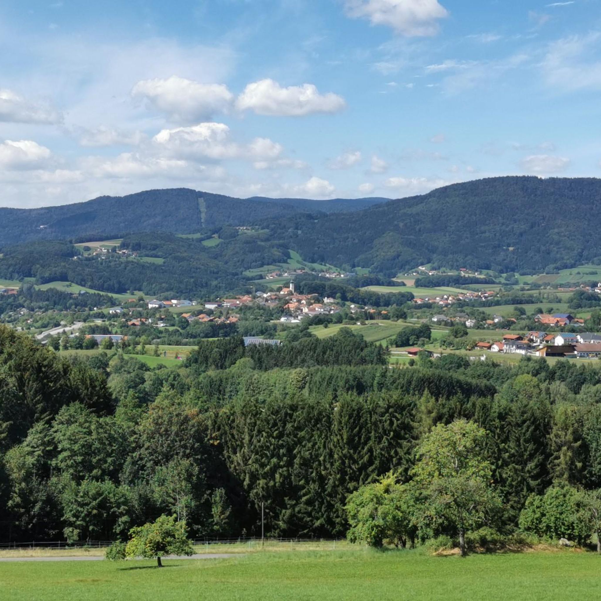
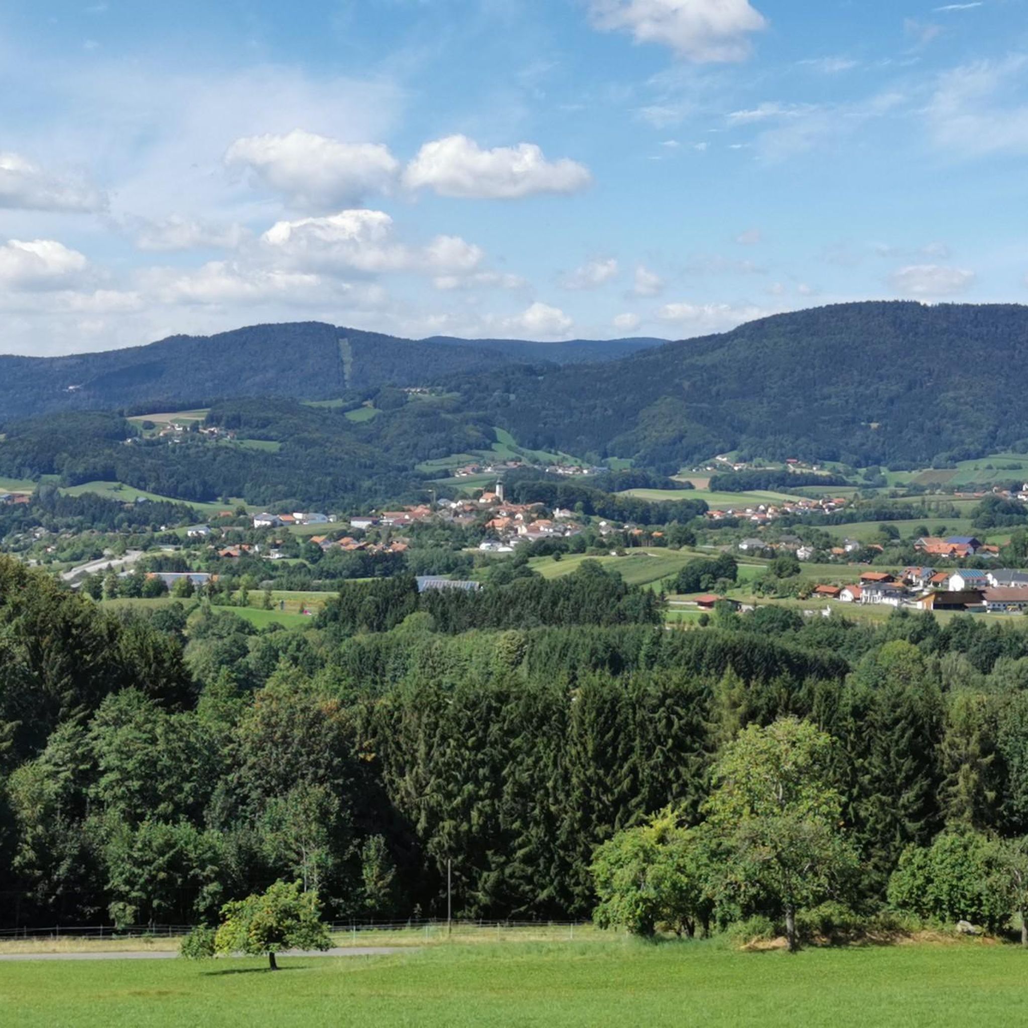
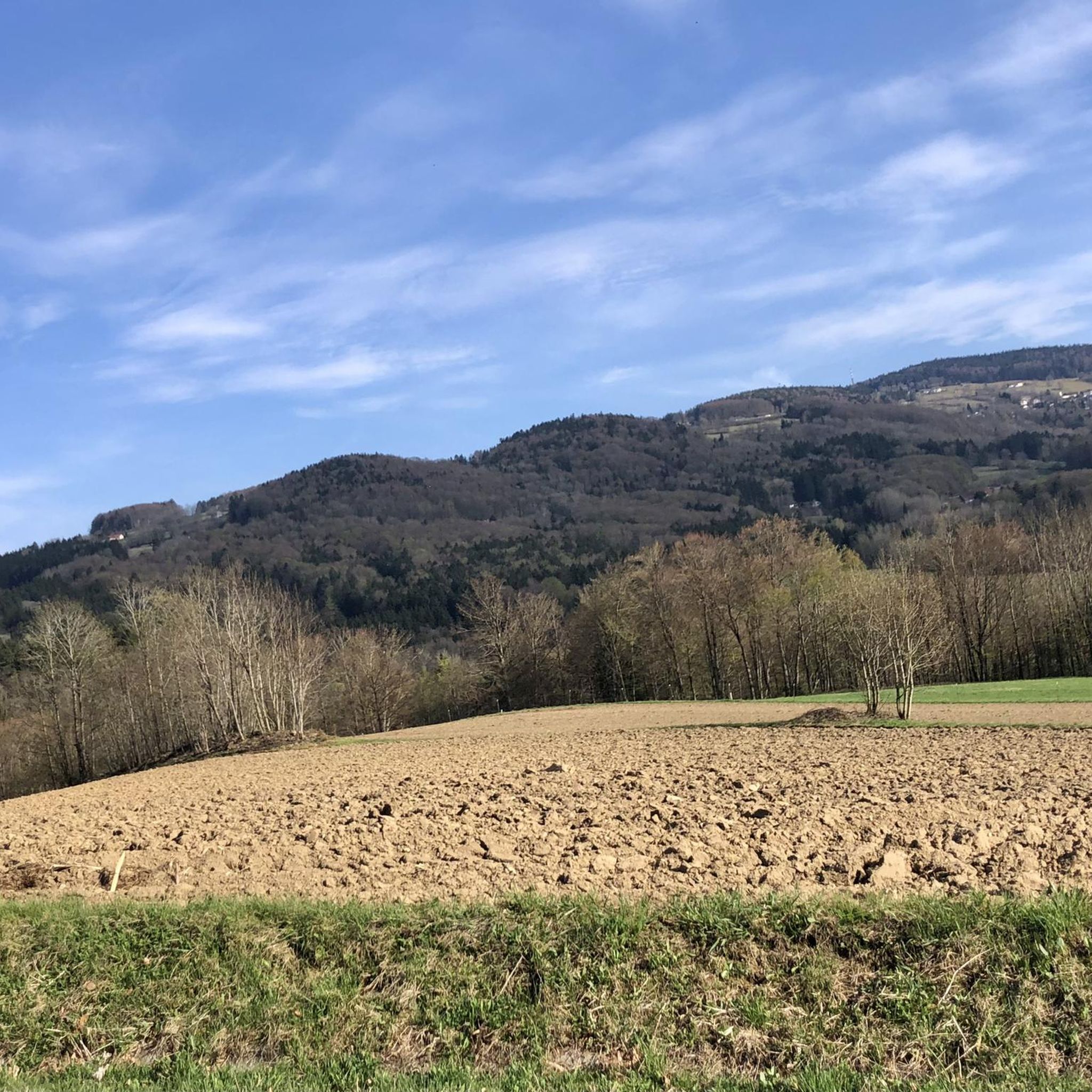
On a clear day, you can enjoy a magnificent view of the Danube plain and the Gäuboden region from up here. With a bit of luck, you might even see the Alps!
0
0

Possibility to start a tour from here
3
0

Definitely take it with you! The view is fantastic
1
0

Always worth a detour for bikers or hikers
0
0

The Großer Büchelstein in the municipality of Grattersdorf rises majestically above the Sonnenwald region. With a height of 832 meters, it offers a panoramic view that extends as far as the Alps in clear weather. The summit is a popular starting point for hang gliders and paragliders, who enjoy the thermals and the spectacular views. Hikers can follow well-marked trails through dense forests and over rolling hills that unfold their own charm in every season. Source: https://region-sonnenwald.de/berge/buechelstein?task=ggvz
5
0
The Kleiner Büchelstein is in no way inferior to its big brother. With a height of 808 meters, it also offers impressive views and is an ideal place for a relaxed hike. The path to the summit takes you through idyllic forests and past picturesque clearings that invite you to linger and enjoy nature. Especially in autumn, when the leaves shine in bright colors, the Kleiner Büchelstein is a true paradise for photographers and nature lovers. Source: https://region-sonnenwald.de/berge/buechelstein?task=ggvz
5
0
Legend about the name "Brotjacklriegel": On this mountain, which can be seen from afar, a small, bearded man, Jackl, once found shelter during the Swedish War. Without leaving his cave, Jackl always had enough bread so that he did not have to starve. One day, when Jackl was looking to see if the Swedes had already left, they discovered him. After Jackl did not reveal the secret of his constant supply of bread, they pushed him back into his cave and rolled a heavy rock in front of him. This outrage caused a clap of thunder and the Swedes were turned into boulders that still lie on the mountain today. Source: https://www.nationalpark-ferienland-bayerischer-wald.de/der-brotjacklriegel-1-011-m/
4
1
The Sonnenwald adventure trail offers an exciting nature experience from the Sturmriegel car park to the Brotjacklriegel observation tower. In 10 stations over a total length of around 2 km, you will be introduced to the forest as a habitat, as a recreational area and as a supplier of raw materials.
1
0
Frequently Asked Questions
What are the typical difficulty levels for mountaineering routes around Hunding?
The mountaineering routes around Hunding primarily feature easy to moderate difficulty levels. You'll find 2 easy routes and 7 moderate routes, making the area accessible for various skill sets. There are no routes classified as difficult in this guide.
Are there any circular mountaineering routes in the Hunding area?
Yes, many of the routes around Hunding are designed as loops, offering a complete experience without retracing your steps. For example, you could try the Breitenauriegel Summit – Geißkopf Summit and Bike Park loop from Ruselabsatz or the Ruselabsatz Pass – The wooden hand loop from Ruselabsatz.
What is the best time of year for mountaineering in Hunding?
The best time for mountaineering in Hunding is typically from late spring through early autumn (May to October). During these months, the weather is generally mild, and trails are clear of snow, offering optimal conditions for exploring the forested slopes and summits.
Are dogs allowed on the mountaineering routes around Hunding?
Many trails in the Bavarian Forest region, including those around Hunding, are dog-friendly. However, it's always recommended to keep dogs on a leash, especially in nature reserves or near livestock, and to check local regulations for specific routes. Always ensure your dog is capable of handling the terrain and distance.
What kind of natural landmarks or points of interest can I expect to see along the routes?
The routes around Hunding offer several interesting natural landmarks and viewpoints. You might encounter the Brotjacklriegel Summit and Observation Tower, offering expansive views, or the unique Wackelstein (Rocking Stone). The Großer Büchelstein summit cross also provides panoramic vistas.
Are there any easy mountaineering routes suitable for beginners or families in Hunding?
Yes, there are easy routes perfect for beginners or families. The Little Büchelstein Viewpoint – Büchelstein Viewpoint loop from Kerschbaum is an excellent option, offering a manageable distance and elevation gain while still providing scenic views.
What are the parking options like for mountaineering trailheads in Hunding?
Parking is generally available at common trailheads and starting points for mountaineering routes around Hunding, such as Ruselabsatz or Greising. These areas are usually well-equipped for visitors, but it's always a good idea to arrive early during peak season to secure a spot.
Are there any permits required for mountaineering in the Hunding area?
For general mountaineering on marked trails around Hunding, no special permits are typically required. The routes are freely accessible. However, always respect local signage and any specific rules for nature protection areas.
What do other mountaineers enjoy most about the routes in Hunding?
The komoot community highly rates the mountaineering routes in Hunding, with an average score of 4.7 stars from over 4 reviews. Reviewers often praise the diverse terrain, the scenic viewpoints from prominent summits like Breitenauriegel, and the well-maintained trails through forested areas.
Can I find cafes or pubs near the mountaineering routes in Hunding?
While the routes themselves traverse natural landscapes, you can find traditional Bavarian guesthouses and cafes in the nearby villages and towns surrounding Hunding. These often offer refreshments and local cuisine, perfect for a post-hike meal or drink.
Are there any routes that offer particularly good views of the region?
Absolutely. Routes that ascend to summits like Breitenauriegel or Geißkopf are known for their panoramic views. For instance, the View from Sturmriegel – Brotjackl Sculpture loop from Sendeturm Brotjacklriegel offers excellent vistas, including the Brotjacklriegel summit.
What are the conditions like for winter mountaineering in Hunding?
Winter mountaineering in Hunding can be beautiful but requires appropriate gear. Trails may be covered in snow and ice, especially at higher elevations. Some routes might be suitable for snowshoeing or winter hiking, but always check current weather and trail conditions before heading out, and be prepared for colder temperatures and shorter daylight hours.
Most popular routes around Hunding
Most popular attractions around Hunding

Get inspired with the komoot mobile app


Explore more
Browse the best Mountain Hikes & Routes in other regions.
