The best mountain hikes around Offenberg
4.9
(5)
74
hikers
15
hikes
Mountaineering around Offenberg features a landscape characterized by forested mountains, prominent summits, and natural park areas within the Bavarian Forest. The region offers varied terrain, from challenging ascents to more moderate paths through woodlands and open areas. These routes often lead to panoramic viewpoints and provide opportunities to explore the natural environment of Offenberg.
Best mountaineering routes around Offenberg
- The most popular mountaineering route is Breitenauriegel Summit – Geißkopf Summit and Bike Park loop from Rohrmünz, a 9.9 miles…
Last updated: October 9, 2026
4
hikers
16.0km
05:07
550m
550m
Hard mountaineering route. Very good fitness required. Mostly accessible paths. Sure-footedness required.
8
hikers
Moderate mountaineering route. Good fitness required. Mostly accessible paths. Sure-footedness required.

7
hikers
8.36km
02:50
310m
310m
Moderate mountaineering route. Good fitness required. Mostly accessible paths. Sure-footedness required.
6
hikers
Moderate mountaineering route. Good fitness required. Mostly accessible paths. Sure-footedness required.
5.0
(1)
8
hikers
Moderate mountaineering route. Great for any fitness level. Mostly accessible paths. Sure-footedness required.
Get access to more routes and recommendations from other explorers.
Already have an account?
Our route recommendations are based on thousands of hikes, rides, and runs completed by other people on komoot.
Start today with a free account
Your next adventure awaits.
Tips from the Community

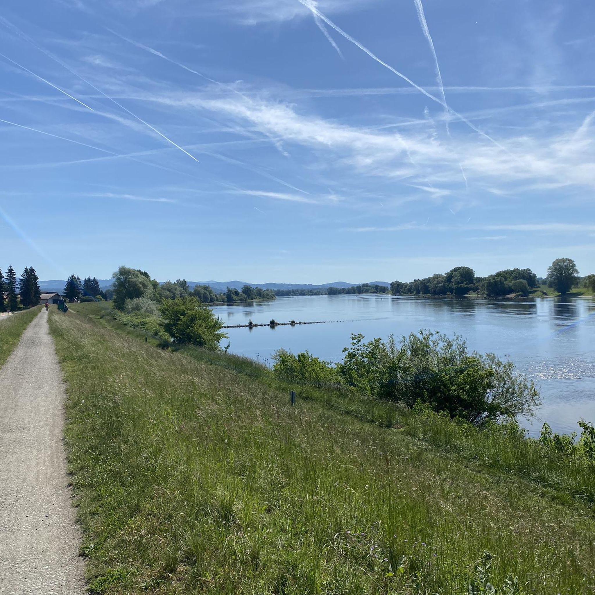
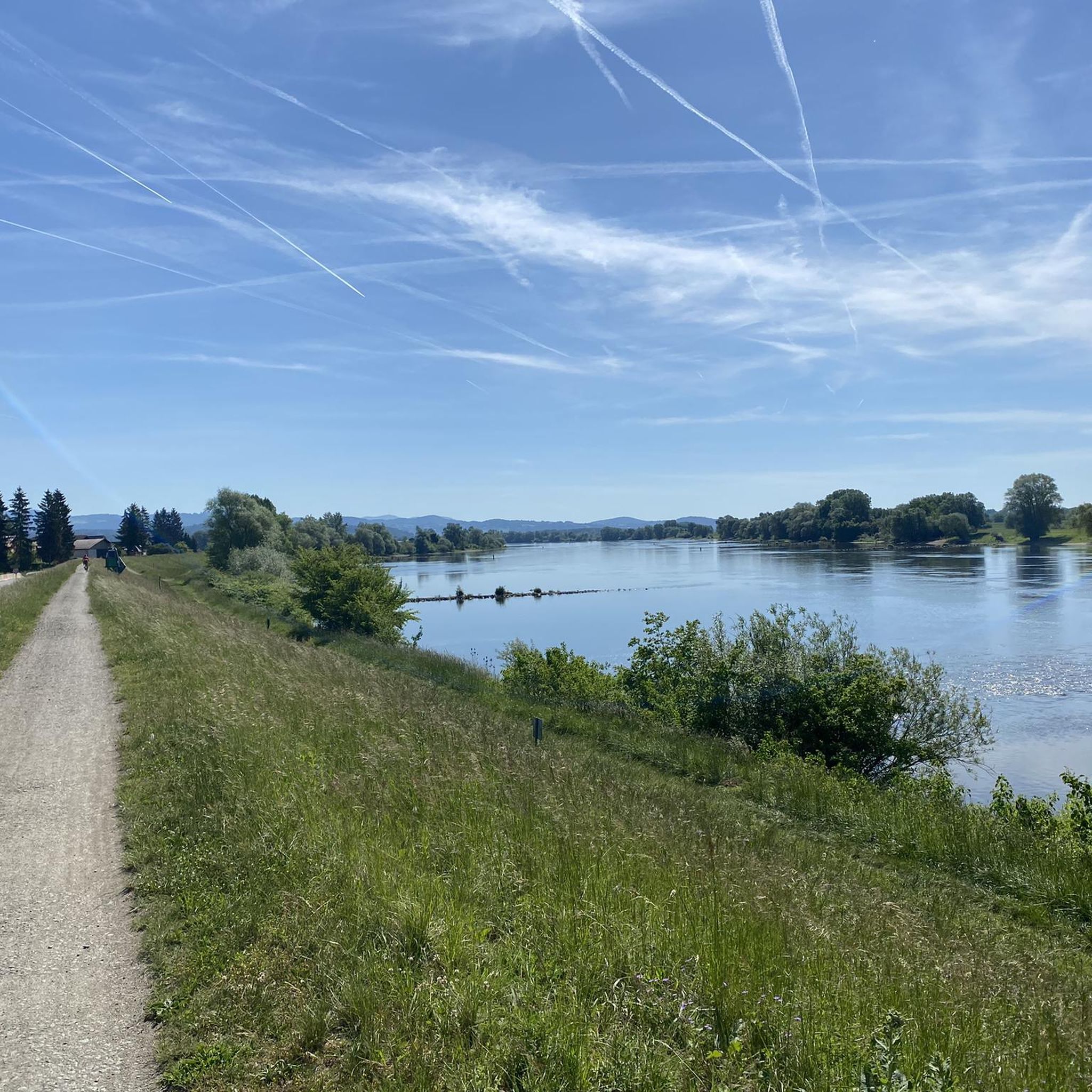
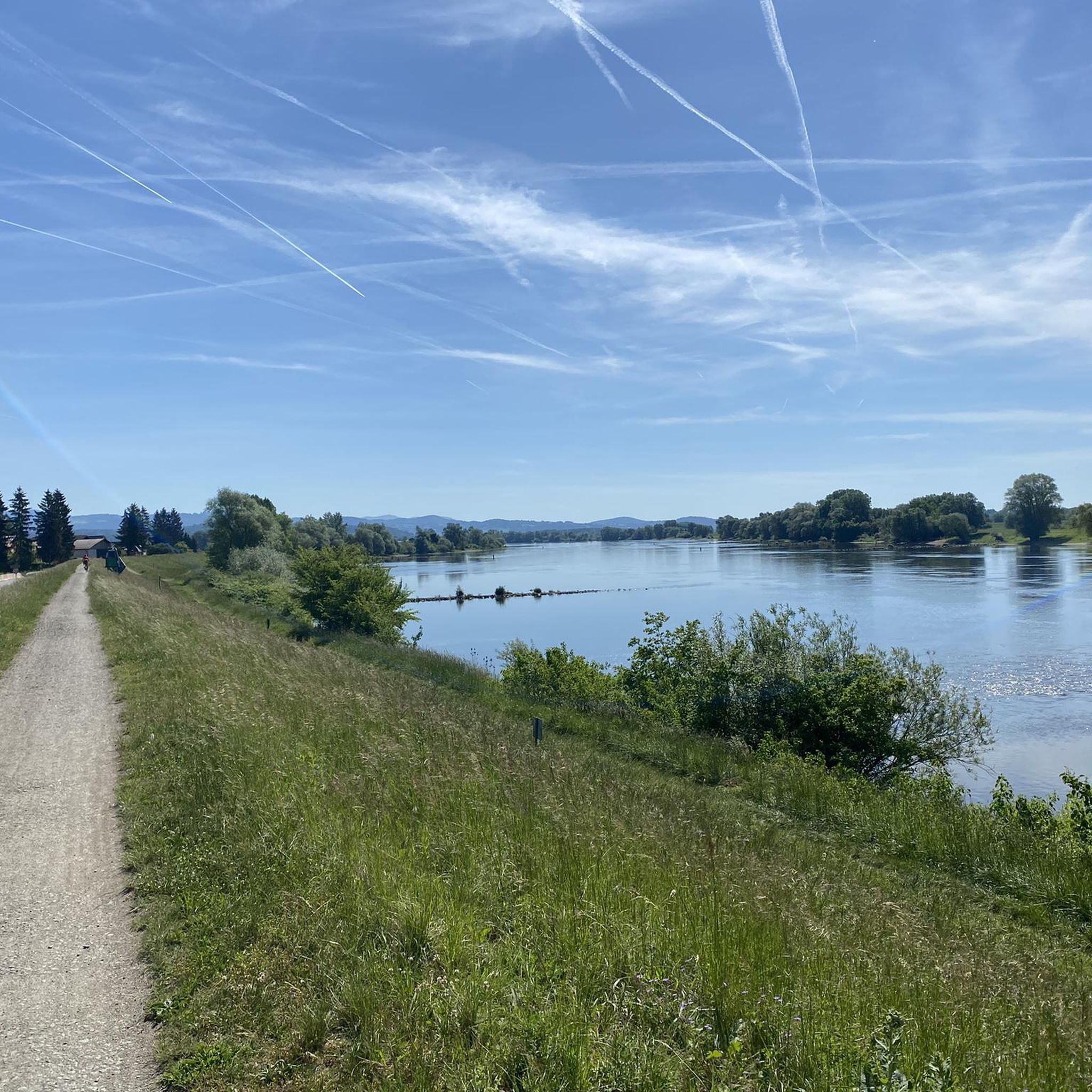
Beautiful viewpoint with a view into the Danube plain.
1
0

Super Trail 😀. Highly recommended. In the upper part, however, not for beginners.
0
0

There are plenty of parking spaces, so it's a good starting point for a hike in the Bavarian Forest.
5
0

Three downhills, ranging from easy to smash-and-grab (S3). Awesome. Oh yeah, there's a view too.
0
0

Grandsberg (850 m above sea level) is located near the state-recognized resort of Schwarzach in the Bavarian Forest. Here, on a beautiful, sunny, south-facing slope with views of the Danube plain, the Berggasthof Menauer offers an atmospheric ambiance for a relaxing holiday.
2
0
In winter, Kalteck was a local ski resort with two drag lifts operating on three ski slopes.
2
0
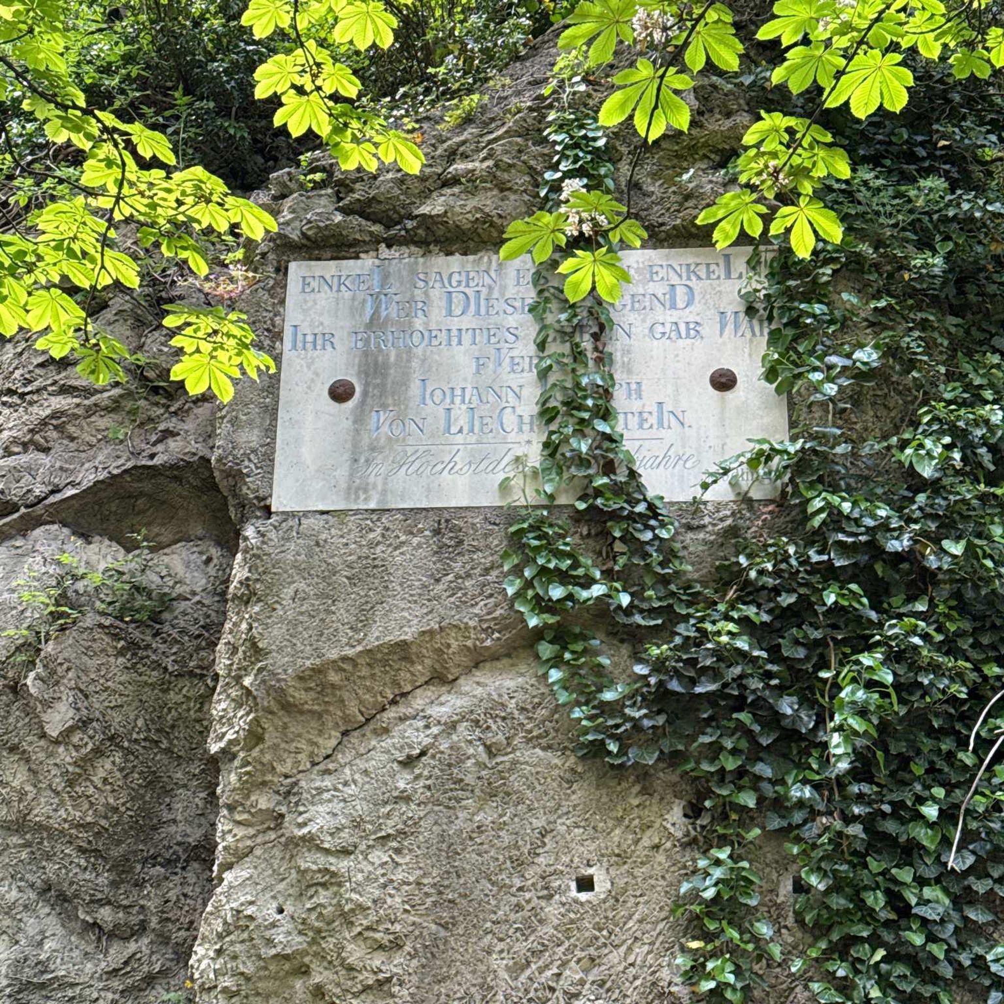
Small "rocky" shelter between Rauhen Kulm and Klausenstein.
3
0

Today it was more of a close-up, but not pretty
3
0
Frequently Asked Questions
How many mountaineering routes are available around Offenberg?
There are over 15 mountaineering routes in the Offenberg region, offering a variety of experiences. These routes are generally rated as moderate to difficult, providing options for different skill levels.
What kind of terrain can I expect on mountaineering routes around Offenberg?
Mountaineering around Offenberg is characterized by forested mountains, prominent summits, and natural park areas within the Bavarian Forest. You'll encounter varied terrain, from challenging ascents to more moderate paths through woodlands and open areas, often leading to panoramic viewpoints.
Are there any circular mountaineering routes in the Offenberg area?
Yes, many routes in Offenberg are designed as loops. For example, the Klausenstein Summit Cross – Hirschenstein loop from Naturpark Bayerischer Wald is a popular moderate circular path. Another option is the Dreitannenriegel Summit – Dreitannenriegel Summit Cross loop from Schwallwiese, which offers a scenic moderate loop.
Where can I find more challenging mountaineering routes near Offenberg?
For a more challenging experience, consider the Breitenauriegel Summit – Geißkopf Summit and Bike Park loop from Rohrmünz. This difficult 9.9-mile (16.0 km) trail connects two significant summits with varied terrain and takes approximately 5 hours to complete.
Are there family-friendly mountaineering options in Offenberg?
While many routes are moderate to difficult, some shorter, less strenuous options might be suitable for families with older children or those accustomed to hiking. The Kalteck Ski Lift – Rauher Kulm Viewpoint loop from Naturpark Bayerischer Wald is a moderate 5.5 km route that could be a good choice.
What are some interesting natural sights or landmarks to see along the mountaineering routes?
The region is rich in natural beauty. You can find highlights like the Hirschenstein viewpoint, the Klausenstein Summit Cross, and the Rauher Kulm — Summit & Panoramic Viewpoint. There are also natural monuments such as the Oberbreitenau Raised Bog to explore.
What do other mountaineers enjoy most about the routes in Offenberg?
The mountaineering routes around Offenberg are highly rated by the komoot community, with an average score of 5.0 stars. Reviewers often praise the varied terrain, the beautiful forested landscapes, and the rewarding panoramic views from the summits.
Can I bring my dog on mountaineering trails in Offenberg?
Generally, dogs are welcome on most hiking and mountaineering trails in the Bavarian Forest region, provided they are kept on a leash, especially in nature reserve areas, and that you clean up after them. Always check local signage for specific restrictions on individual routes or protected zones.
What is the best time of year for mountaineering in Offenberg?
The best time for mountaineering in Offenberg is typically from late spring through early autumn (May to October). During these months, the weather is generally more stable, trails are clear of snow, and the forests are lush. Autumn offers particularly beautiful foliage.
Are there mountaineering routes in Offenberg that offer a pub or refreshment stop nearby?
While specific routes may not have pubs directly on the trail, many trails in the Bavarian Forest lead to or pass by traditional Bavarian guesthouses (Gasthäuser) or mountain huts (Almen) where you can enjoy local food and drinks. It's advisable to check the route details or local maps for refreshment options near your chosen trailheads or along the way.
Is winter mountaineering possible in Offenberg?
Winter mountaineering in Offenberg is possible but requires appropriate gear and experience due to snow and ice conditions. Some trails may be used for snowshoeing or winter hiking, but conditions can vary greatly. Always check weather forecasts and trail conditions before heading out in winter.
Do I need a permit for mountaineering in Offenberg?
No, generally you do not need a permit for mountaineering on public trails in the Offenberg region or the wider Bavarian Forest. However, always respect private property, follow local regulations, and stay on marked paths, especially within nature park areas.
Most popular routes around Offenberg
Most popular attractions around Offenberg

Get inspired with the komoot mobile app


Explore more
Browse the best Mountain Hikes & Routes in other regions.
