The best walks and hikes around Cloghs
4.7
(203)
1,552
hikers
40
hikes
Hiking around Cloghs features routes that explore the coastal area of County Antrim, including river valleys and beach promenades. The terrain is generally composed of gentle gradients with some moderate climbs, offering views of the surrounding glens and the sea. The network of trails includes both short, accessible walks and longer, more involved hikes.
Best hiking trails around Cloghs
- The most popular hiking route is Inver River Waterfall – View of Glenariff Valley loop from Waterfoot, a 10.0 mile…
Last updated: June 25, 2026
5.0
(1)
14
hikers
16.2km
04:24
220m
220m
Moderate hike. Good fitness required. Easily-accessible paths. Suitable for all skill levels.
5.0
(1)
11
hikers
13.9km
03:48
210m
210m
Moderate hike. Good fitness required. Easily-accessible paths. Suitable for all skill levels.

Sign up for free
12
hikers
3.99km
01:00
10m
10m
Easy hike. Great for any fitness level. Easily-accessible paths. Suitable for all skill levels.
5
hikers
Easy hike. Great for any fitness level. Easily-accessible paths. Suitable for all skill levels.
4.0
(2)
13
hikers
3.51km
00:55
30m
30m
Easy hike. Great for any fitness level. Easily-accessible paths. Suitable for all skill levels.
Get access to more routes and recommendations from other explorers.
Sign up for free
Already have an account?
Our route recommendations are based on thousands of hikes, rides, and runs completed by other people on komoot.
Start today with a free account
Your next adventure awaits.
Login or Signup
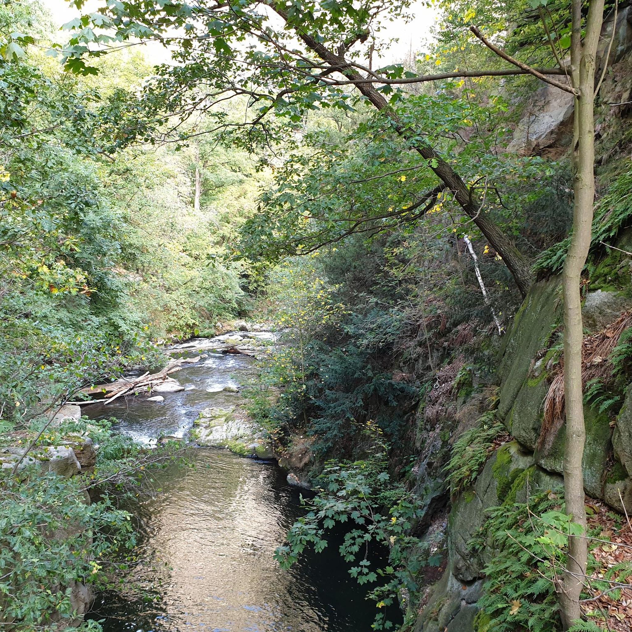
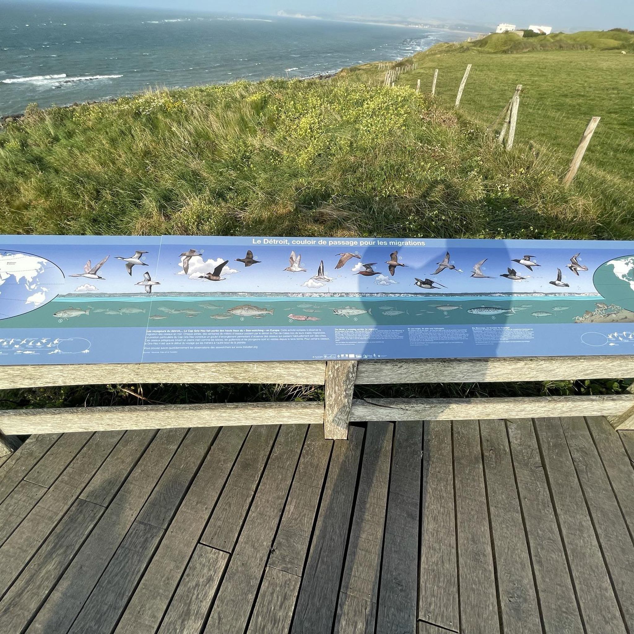
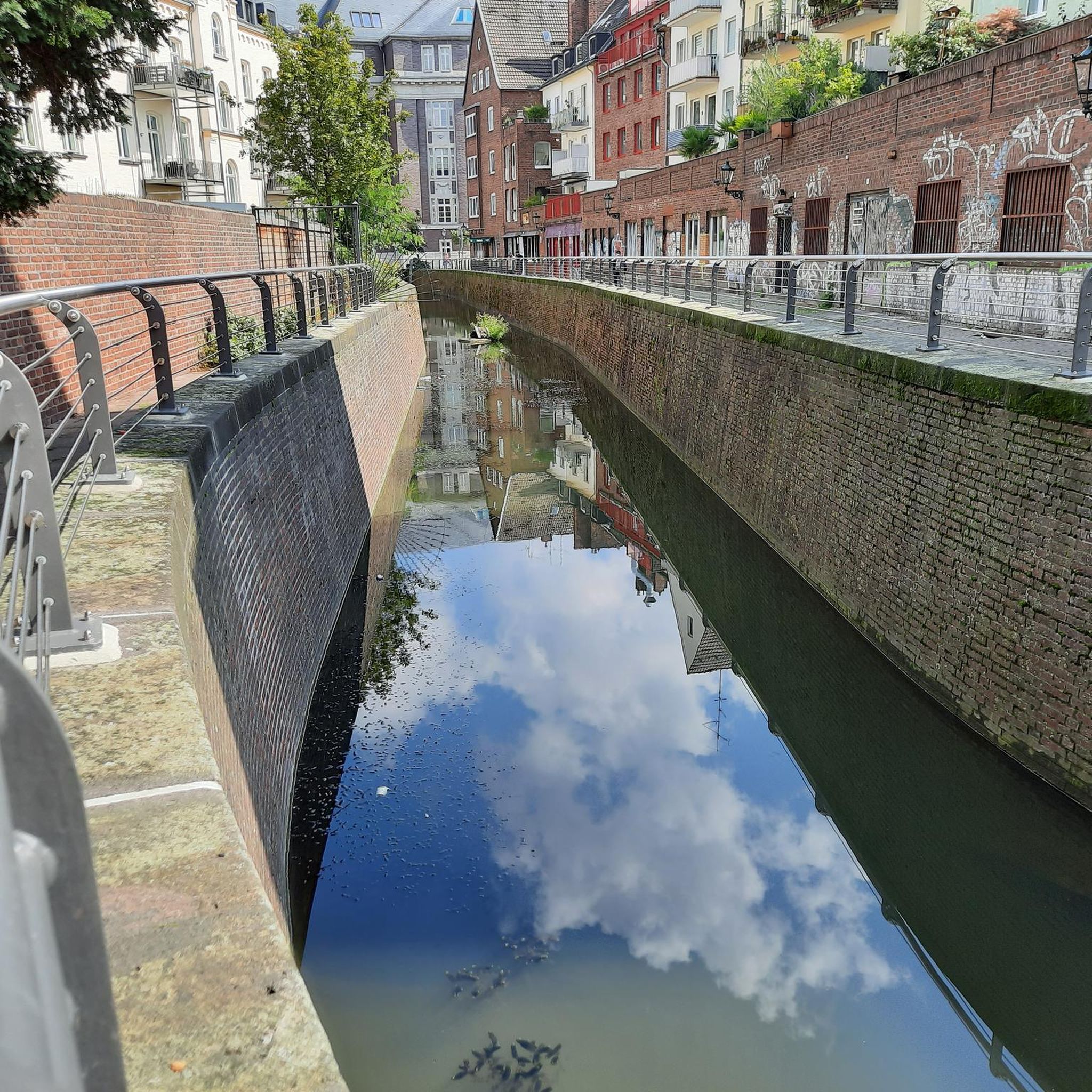

Tips from the Community

Very beautiful waterfalls along the way and very well developed.
1
0

Glenariff Forest Park is a beautiful park located in County Antrim in Northern Ireland. The park covers over 1,185 hectares and has a number of scenic trails that run past some of the most beautiful waterfalls in Northern Ireland. We spent a day hiking around this beautiful waterfall.
0
0

For walkers, Waterfoot is a pleasant alternative to the main road, as it passes close to the beach and behind the dunes, with beautiful views and no traffic.
1
0
Nice promenade with tables and a nice walk in front of the beach. It is dangerous to swim but the view is nice.
1
0
Near Cushendall, this ruined church was built in the 13th century and the adjacent graveyard is also home to notable figures such as a doctor famous for pioneering the use of chloroform in surgery.
0
0

A cute little restaurant, if you park there for free, please at least go there for a coffee
0
0

Many walks start out from the information centre near the parking. It costs £5 (2023) to park at the visitor centre. Entry on foot is free. The waterfall walk takes you down into the gorge where you can walk along paths and wooden walkways to admire the waterfalls.
0
0

Better to walk the path counterclockwise
0
0
Frequently Asked Questions
Are there any hiking trails with waterfalls near Cloghs?
Yes, the area features some lovely waterfalls. For a route that includes one, consider the Inver River Waterfall – View of Glenariff Valley loop from Waterfoot. This trail offers a chance to see the waterfall while also taking in expansive views across the Glenariff Valley.
What are the best options for easy, family-friendly walks?
The region has several gentle walks perfect for a family outing. A great choice is the Waterfoot Beach Boardwalk – Waterfoot Beach loop from Waterfoot, which is a very flat and short coastal walk. It's an excellent way to enjoy the sea air without any strenuous climbs.
Can I bring my dog on the trails around Cloghs?
Many trails in the area are suitable for walking with a dog, but it's important to be mindful of local regulations, especially concerning livestock. Coastal paths and beach walks are often good options. Always keep your dog on a lead where required and be prepared to clean up after them to preserve the natural beauty of the area.
Are there any circular or loop trails available?
Yes, there are several loop trails so you can end your hike where you started. For a route that combines coastal scenery with local history, the Layd Church Ruins and Cemetery – Cushendall Beach Promenade loop from Cushendall is a fantastic option that brings you back to your starting point.
What should I wear for hiking in Cloghs?
The weather in County Antrim can be unpredictable, so layering is key. Always wear sturdy, waterproof hiking boots. Pack waterproof trousers and a jacket, even if the forecast is clear. A base layer, a fleece, and a hat are also recommended. It's better to have extra layers you can remove than to be caught unprepared in rain or wind.
How many hiking trails are there around Cloghs?
You'll find a great selection of routes to explore. There are over 40 designated hiking trails in the Cloghs area, ranging from easy coastal strolls to more moderate inland hikes through the glens.
What do other hikers think of the trails in Cloghs?
The trails around Cloghs are highly regarded by the komoot community, with an average rating of 4.6 stars. Hikers often praise the stunning coastal views, the mix of beach and valley walks, and the accessibility of the trails.
Are there any more challenging hikes for experienced walkers?
While many routes are gentle, there are options for those seeking more of a challenge. The Waterfoot Beach Boardwalk loop from Cushendall is a longer moderate route that combines different terrains and offers a good few hours of hiking.
What is the terrain like on the Cloghs hiking trails?
The terrain is quite varied. You can expect everything from flat, sandy beach promenades and boardwalks to gentle riverside paths. Some routes into the glens involve more moderate climbs on well-defined tracks, but overall, the gradients are not excessively steep.
Are there any historical sites I can see while hiking?
Yes, you can combine hiking with a bit of history. The walk that includes the Layd Church Ruins and Cemetery is perfect for this, allowing you to explore the historic ruins as part of your hike along the coast.
What is the best time of year to hike around Cloghs?
You can hike in Cloghs year-round, but the best conditions are typically from late spring to early autumn (May to September). During these months, you'll have longer daylight hours and a better chance of dry, clear weather to enjoy the coastal and valley views.
Most popular routes around Cloghs
Most popular attractions around Cloghs

Get inspired with the komoot mobile app


Explore more
Browse the best Hikes in other regions.
