The best walks and hikes around Roonivoolin
4.6
(121)
731
hikers
24
hikes
Hiking around Roonivoolin offers diverse landscapes, from dramatic coastal cliffs reaching 230 feet (70 meters) to tranquil inland loughs like Craigmacaghan Lough and Ushet Lough. The terrain features open fields and clifftop paths, providing varied experiences for outdoor enthusiasts. Rathlin Island, where Roonivoolin is located, is characterized by its rugged coastline and significant natural features. This area provides a remote island experience with opportunities for wildlife observation and scenic views of the Northern Irish coastline.
Best hiking trails around Roonivoolin
…Last updated: July 2, 2026
4.5
(22)
111
hikers
9.18km
02:28
80m
80m
Moderate hike. Good fitness required. Mostly accessible paths. Sure-footedness required.
4.5
(22)
106
hikers
13.7km
03:44
200m
200m
Moderate hike. Good fitness required. Mostly accessible paths. Sure-footedness required.

Sign up for free
3.0
(1)
10
hikers
23.3km
06:19
280m
280m
Hard hike. Very good fitness required. Mostly accessible paths. Sure-footedness required.
4.8
(10)
66
hikers
3.57km
01:00
70m
70m
Easy hike. Great for any fitness level. Easily-accessible paths. Suitable for all skill levels.
4.8
(9)
52
hikers
Easy hike. Great for any fitness level. Easily-accessible paths. Suitable for all skill levels.
Get access to more routes and recommendations from other explorers.
Sign up for free
Already have an account?
Our route recommendations are based on thousands of hikes, rides, and runs completed by other people on komoot.
Start today with a free account
Your next adventure awaits.
Login or Signup
Popular around Roonivoolin

Tips from the Community


Lovers of authentic and picturesque lighthouses will get their money's worth here! The Rathlin East Lighthouse is a historic lighthouse built in 1856.
0
0


One of the real classic seacliff climbing areas with decades of histors and the tradiitonal climbing meet-up on the first weekend in June.
1
0

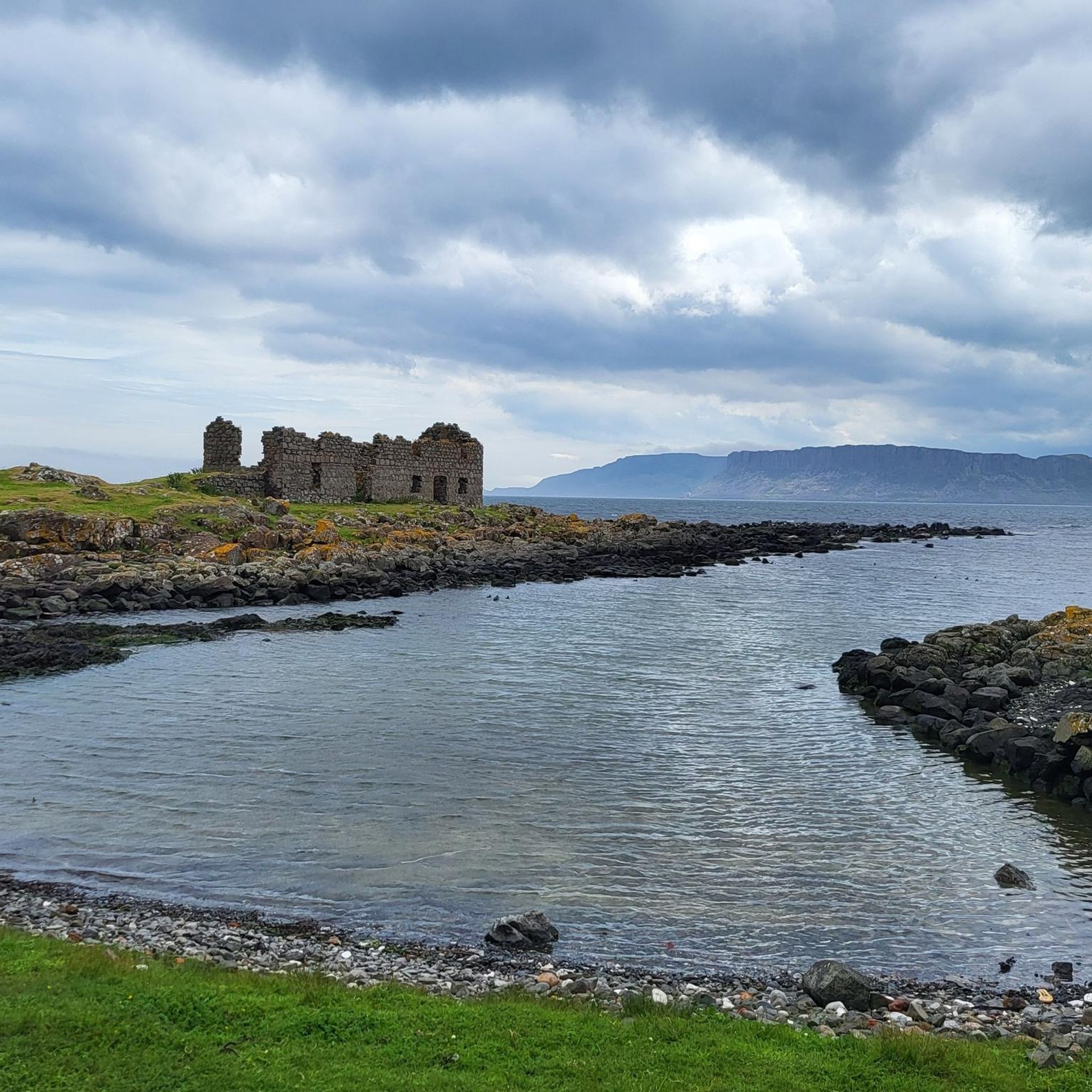
This is an excellent lookout point to view the east leg of Rathlin, Rathlin harbour and across to the Northern Ireland coast. There are two large picnic tables here, and it's easily accessible for families with kids.
2
0
From here, you can enjoy fantastic views of the beautiful Rathlin Island, located off the northeast coast of Ireland (and Ireland's most northern point).
4
0

Rathlin Island, an island between Ireland and Scotland, can only be reached by sailors within a narrow time window, outside of which it gets bumpy because of the races and overfalls. About 100 people live here, some of whom we met yesterday in the pub. If you want to move here, you have to accept a poll and a vote from those who already live here, I don't know whether that will take place in the pub or the church.
2
0

Accessible by ferry from Ballycastle.
1
2
Frequently Asked Questions
How many hiking trails are there in Roonivoolin?
Roonivoolin, located on Rathlin Island, offers a diverse network of over 20 hiking trails. These routes cater to various fitness levels, from easy strolls to more challenging treks across the island's varied terrain.
What are the difficulty levels of hikes in Roonivoolin?
The hiking trails in Roonivoolin offer a range of difficulty levels. You'll find 11 easy routes, 8 moderate trails, and 5 more difficult options, ensuring there's a suitable path for every hiker.
What kind of landscapes can I expect to see while hiking in Roonivoolin?
Hikers in Roonivoolin are treated to spectacular coastal views, including dramatic cliffs reaching 70 meters (230 ft) and the picturesque Church Bay. Inland, the landscape features tranquil loughs like Craigmacaghan Lough and Ushet Lough, alongside open fields and clifftop paths, providing a dynamic and scenic experience.
Are there any circular walks in Roonivoolin?
Yes, Roonivoolin offers several circular walks. For example, the View of the Lighthouse – Rathlin East Lighthouse loop from Rathlin Island is an easy 4.8 km (3 miles) circular route, perfect for enjoying the island's scenery.
Is Roonivoolin suitable for family hikes?
Yes, many trails in Roonivoolin are suitable for families. While some paths may have short, steep sections or uneven surfaces, there are numerous well-marked, easy walks that offer a tranquil countryside experience, making them ideal for family outings.
Are dogs allowed on the hiking trails in Roonivoolin?
While Rathlin Island is a haven for wildlife, dogs are generally welcome on trails. However, it's crucial to keep them on a lead, especially in areas with livestock or ground-nesting birds, to protect the local fauna and ensure a safe experience for everyone.
Where can I find parking for hiking trails in Roonivoolin?
As Roonivoolin is located on Rathlin Island, access is primarily via ferry. Once on the island, Rathlin Harbour serves as the main starting point for many walks and typically offers facilities. It's best to check local information upon arrival for specific parking arrangements if you bring a vehicle to the island (though most visitors arrive on foot via ferry).
Are there places to eat or stay near the hiking trails?
Yes, Rathlin Harbour, the main entry point to the island and starting point for many hikes, provides facilities such as a cafe, restaurant, and accommodations. These are convenient for hikers looking to refuel or stay overnight.
What natural features can I see while hiking in Roonivoolin?
Roonivoolin's hikes offer views of dramatic coastal cliffs and tranquil inland loughs. You can also visit the RSPB West Light Seabird Centre, a significant natural attraction for observing seabirds.
Are there any historical sites or landmarks to explore?
Yes, Roonivoolin and Rathlin Island have historical points of interest. You can find a disused Kelp Kiln, offering a glimpse into the island's past. Additionally, the Kelp House is another notable historical site.
Where can I spot wildlife in Roonivoolin?
Roonivoolin is excellent for wildlife viewing. The RSPB Roonivoolin Reserve is a prime location to spot seals, Irish hares, and curlews. The dramatic cliffs are also home to large seabird populations, especially during breeding season.
Are there good viewpoints along the trails?
Absolutely. The coastal trails offer spectacular viewpoints of the Northern Irish coastline. Highlights like View of Ballycastle and View of Rathlin Island from Portaneevy Viewpoint provide expansive vistas.
What do other hikers enjoy the most about hiking in Roonivoolin?
The area is highly rated by the komoot community, with an average score of 4.5 stars from over 100 reviews. Reviewers often praise the sense of island remoteness, the spectacular coastal views, and the opportunities for wildlife observation, making it an ideal destination for a peaceful and scenic outdoor adventure.
Most popular routes around Roonivoolin
Most popular attractions around Roonivoolin

Get inspired with the komoot mobile app


Explore more
Browse the best Hikes in other regions.
