The best cycling routes around Ballyteerim
3.5
(2)
70
riders
6
rides
Touring cycling around Ballyteerim features routes that navigate the coastal landscapes and inland areas of the region. The terrain includes varied elevations, from flatter coastal stretches to more challenging climbs, with routes connecting villages and natural landmarks. The area is characterized by its proximity to the sea, offering views of harbours and beaches, alongside paths that lead through rural settings.
Best touring cycling routes around Ballyteerim
- The most popular touring cycling route is Cushendun to The Dark Hedges Loop,…
Last updated: September 29, 2026
63.7km
04:13
900m
900m
This difficult 39.6-mile touring cycling loop takes you through Northern Ireland's Antrim Coast & Glens, featuring Torr Head and The Dark He
10
riders
69.6km
04:32
890m
890m
Hard bike ride. Very good fitness required. Mostly paved surfaces. Suitable for all skill levels.

5.0
(1)
11
riders
32.3km
01:54
140m
140m
Easy bike ride. Great for any fitness level. Mostly paved surfaces. Suitable for all skill levels.
6
riders
51.7km
03:21
700m
700m
Hard bike ride. Very good fitness required. Mostly paved surfaces. Suitable for all skill levels.
6
riders
29.8km
01:54
390m
390m
Moderate bike ride. Good fitness required. Mostly paved surfaces. Suitable for all skill levels.
Our route recommendations are based on thousands of hikes, rides, and runs completed by other people on komoot.
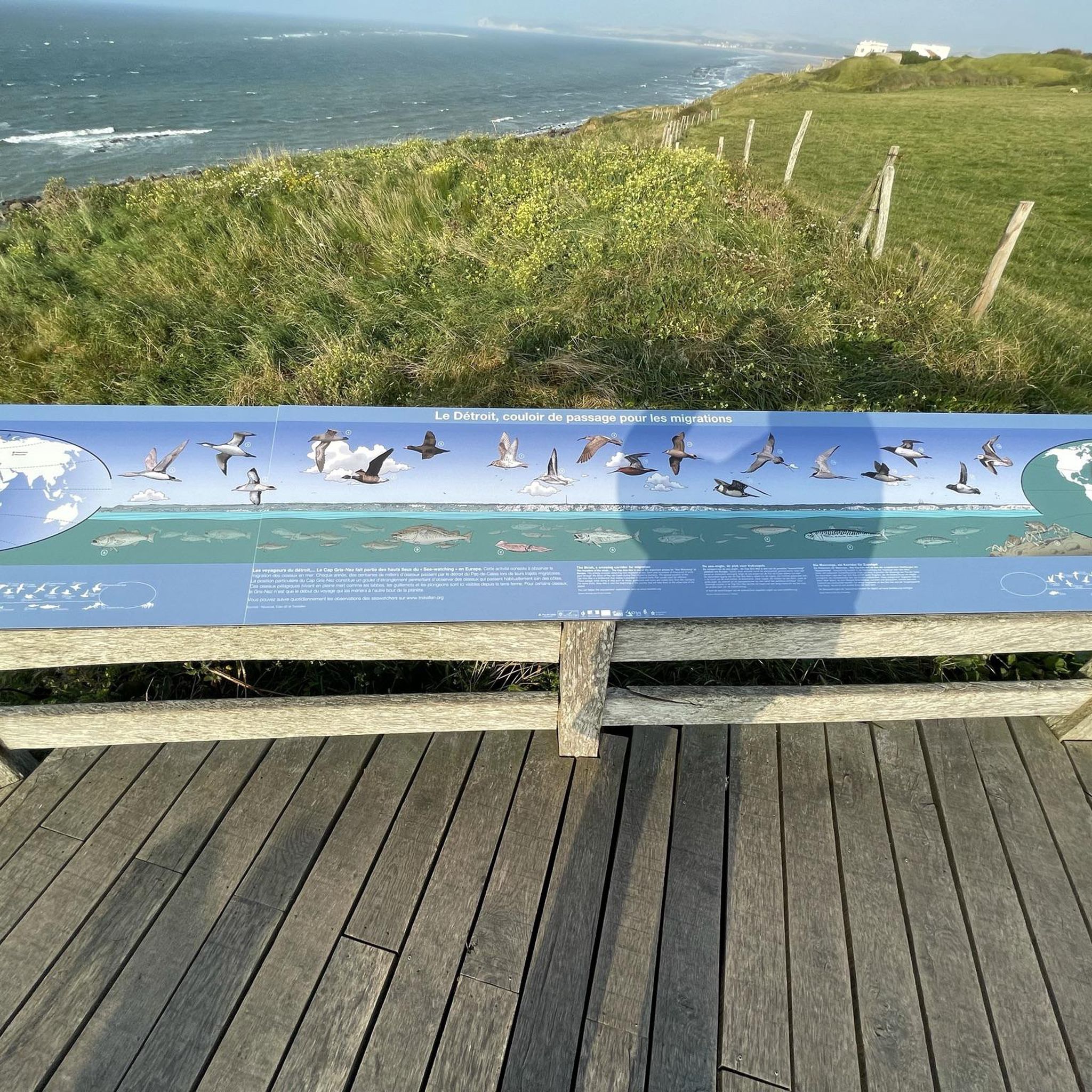
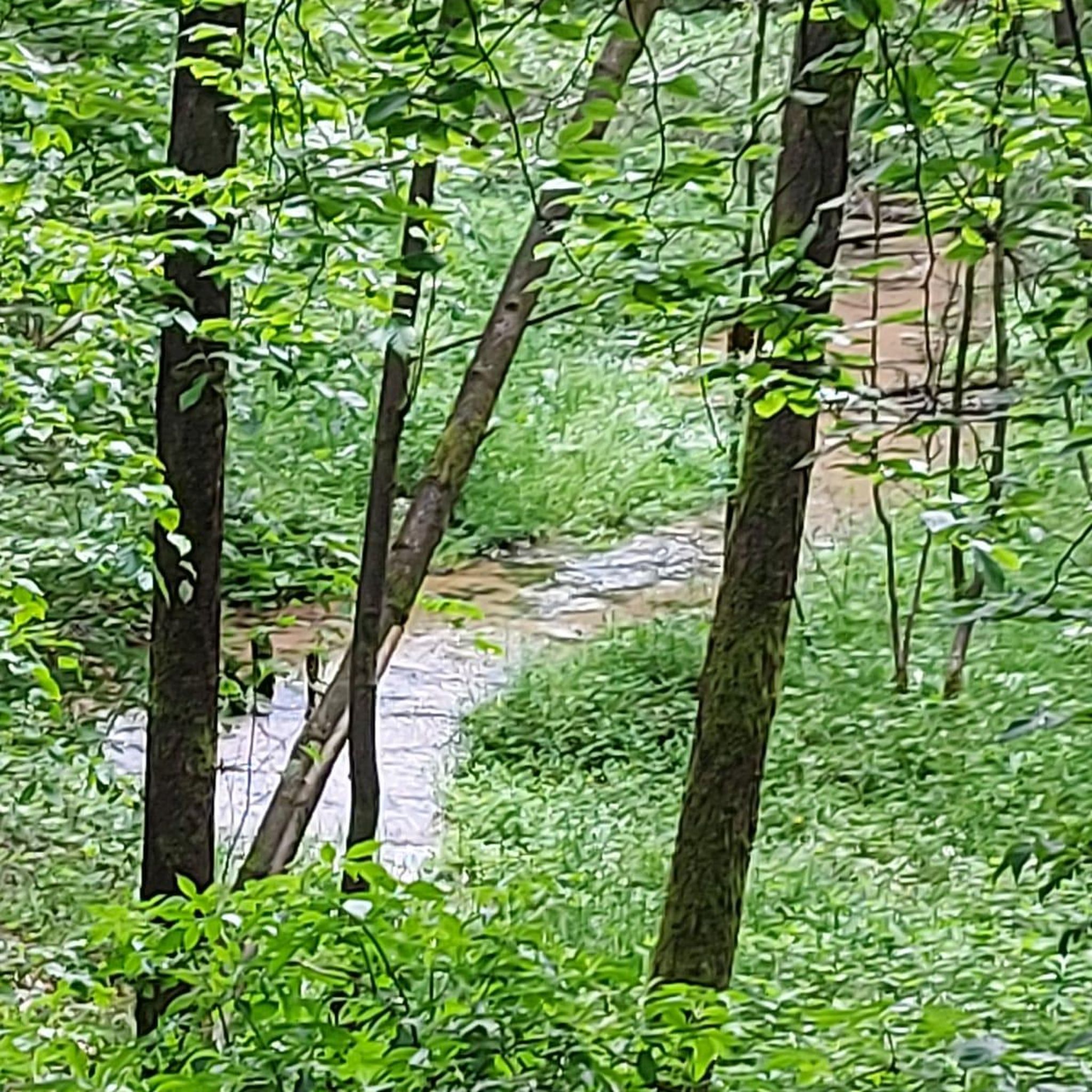
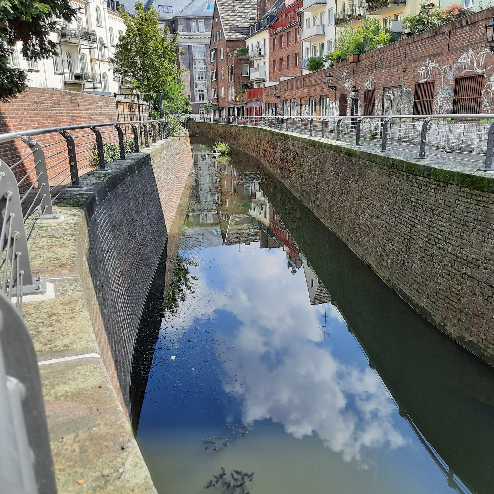
Tips from the Community

Not as impressive in nature anymore, some trees or branches have been removed.
0
0

For walkers, Waterfoot is a pleasant alternative to the main road, as it passes close to the beach and behind the dunes, with beautiful views and no traffic.
1
0
Nice harbour, with ferries to Rathlin Island (opposite, half an hour away) that leave every hour. Lots of ice cream shops nearby and a nice park, very relaxing area.
0
0

An old-fashioned marina in a fishing village. An idyllic place to stop during the long walk on this stretch of the CCR.
2
0

The Queen of the Antrim Glens. Part of the Glenariff Glen has been designated as a National Nature Reserve. The timber boardwalk that winds through the glen and alongside the river gorge was first built about 100 years ago and has been carefully reconstructed to provide one of several spectacular walks. These include Rainbow Trail, Scenic Trail, Viewpoint Trail, and Waterfall Walk Trail...Yes there's a lovely Waterfall.
0
0
Definitely one for the climbers this, as its known for being one of this part of Northern Ireland's steepest climbs, The vistas are well worth all the effort. You can see over to Scotland on a clear day, and the quiet narrow winding road that hugs the rugged coastline is really something quite special.
1
0
This iconic moody avenue of beech trees was planted by the Stuart family in the eighteenth century. Two centuries later, the trees remain a treat and are one of the most photographed natural phenomena in Northern Ireland. Most recently used as a film location in Game of Thrones.
0
0

Beautiful little harbour located in the seaside village of Cushendun. The Mary McBrides across the road from here sells delicious food and real ales. There is also a café and convenience store nearby where you can pick up some snacks and take a respite on the sandy shore nearby.
2
0
Frequently Asked Questions
How many touring cycling routes are available around Ballyteerim?
There are 8 touring cycling routes around Ballyteerim, offering a variety of experiences from easy coastal rides to more challenging inland climbs.
What kind of terrain can I expect on touring cycling routes in Ballyteerim?
The terrain around Ballyteerim is varied, featuring coastal landscapes with views of harbours and beaches, as well as paths through rural settings. You'll encounter a mix of flatter coastal stretches and more challenging climbs, connecting various villages and natural landmarks.
Are there easy touring cycling routes suitable for beginners in Ballyteerim?
Yes, Ballyteerim offers 2 easy touring cycling routes. A great option for beginners is the Waterfoot Beach – Carnlough Harbour loop from Cushendall, which is 20.1 miles (32.3 km) long and provides scenic coastal views.
What are some challenging touring cycling routes for experienced riders in Ballyteerim?
For experienced riders seeking a challenge, Ballyteerim has 3 difficult routes. Consider the Cushendun to The Dark Hedges Loop, a 40.0-mile (63.7 km) route that connects coastal areas with inland features like The Dark Hedges, involving significant elevation changes.
How long do touring cycling routes in Ballyteerim typically take?
Route durations vary significantly based on length and difficulty. Easy routes like the Waterfoot Beach – Carnlough Harbour loop from Cushendall can take around 2 hours. More challenging routes, such as the Cushendun Village and Harbour – Ballycastle Harbour loop from Cushendall, can take over 4 hours to complete.
Are there circular touring cycling routes in Ballyteerim?
Many of the touring cycling routes in Ballyteerim are designed as loops, allowing you to start and finish in the same location. Examples include the Cushendun Harbour – Cushendun Picnic Area loop from Cushendall and the Waterfoot Beach – Cushendun Village and Harbour loop from Cushendall.
What attractions or points of interest can I see along the touring cycling routes?
Along the routes, you can explore several interesting points. Highlights include the scenic Torr Head Coastal Road, the unique Cushendun Caves, and the picturesque Cushendun Harbour. You might also pass by Waterfoot Beach or the historical Ossian's Grave.
What do other touring cyclists say about the routes in Ballyteerim?
The routes in Ballyteerim are highly rated by the komoot community, with an average score of 2.0 stars from over 1 review. Over 70 touring cyclists have used komoot to explore the varied terrain, often praising the coastal views and connections between charming villages.
When is the best time of year to go touring cycling in Ballyteerim?
The best time for touring cycling in Ballyteerim is generally during the spring and summer months (April to September) when the weather is milder and daylight hours are longer. This allows for more comfortable riding conditions and better enjoyment of the coastal and rural scenery.
Are there any less crowded touring cycling routes in Ballyteerim?
While specific crowd levels can vary, routes that venture further inland or are slightly longer might offer a more secluded experience. Consider exploring routes that connect smaller villages away from the main coastal attractions if you prefer a quieter ride.
Is public transport available to access touring cycling routes in Ballyteerim?
Public transport options in Ballyteerim and the surrounding rural areas can be limited. It's advisable to check local bus schedules or consider driving to a starting point, especially for routes that begin in smaller villages like Cushendall, which serves as a common starting point for several tours.
Most popular routes around Ballyteerim
Most popular attractions around Ballyteerim

Get inspired with the komoot mobile app


Explore more
Browse the best Cycling routes in other regions.
