The best walks and hikes around Losset
4.7
(70)
463
hikers
22
hikes
Hiking around Losset offers a diverse landscape characterized by coastal paths, glens, and hills. The region features trails that provide views of the Antrim Coast and Rathlin Island. Hikers can expect varied terrain, from gentle coastal loops to more challenging ascents up hills like Knocklayd. This area provides opportunities to explore both the coastline and inland natural features.
Best hiking trails around Losset
- The most popular hiking route is Ballycastle to Knocklayd — Antrim & Glens Coast, a 8.7…
Last updated: June 25, 2026
5.0
(2)
20
hikers
14.0km
03:56
510m
510m
Moderate hike. Good fitness required. Easily-accessible paths. Suitable for all skill levels.
12
hikers
4.48km
01:17
330m
330m
Moderate hike. Good fitness required. Easily-accessible paths. Suitable for all skill levels.

Sign up for free
4.8
(10)
66
hikers
3.57km
01:00
70m
70m
Easy hike. Great for any fitness level. Easily-accessible paths. Suitable for all skill levels.
4.7
(11)
29
hikers
19.5km
05:19
280m
280m
Hard hike. Very good fitness required. Easily-accessible paths. Suitable for all skill levels.
4.0
(2)
8
hikers
11.6km
03:21
290m
290m
Moderate hike. Good fitness required. Easily-accessible paths. Suitable for all skill levels.
Get access to more routes and recommendations from other explorers.
Sign up for free
Already have an account?
Our route recommendations are based on thousands of hikes, rides, and runs completed by other people on komoot.
Start today with a free account
Your next adventure awaits.
Login or Signup
Popular around Losset

Tips from the Community

There is a parking lot right next to the church.
3
0

Two menhirs (standing stones) in the cemetery of the church built in 1831. One of them is almost 3 meters tall, the other 1.6 meters.
4
0

A very nice little place. The free car park is very central and spacious. The entrance height is stated as 1.95m. In our case, the height bar was set aside and therefore open.
1
0
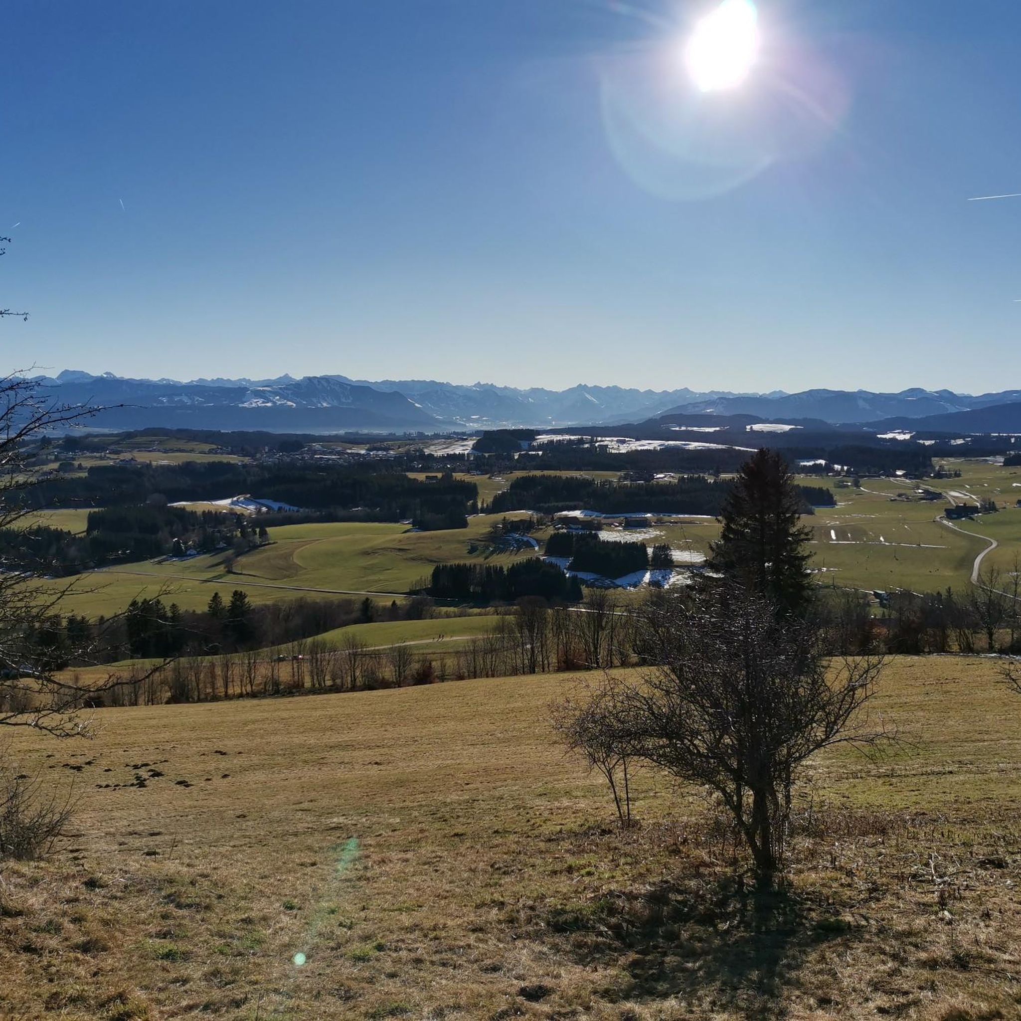
A 2 km climb (the last kilometer is very steep and muddy across the sheep pasture) and over and under fences. The effort is only worth it in good weather, because the view is magnificent. Far inland and towards the coast over Rathlin Island to Scotland.
0
0

One of the real classic seacliff climbing areas with decades of histors and the tradiitonal climbing meet-up on the first weekend in June.
1
0

Knocklayd is a gem of a spot located on the north coast of Country Antrim. From the 514m summit, you can enjoy sensational panoramic views across the Causeway Coast, Antrim Coast & Glens and, on a clear day, all the way over to Scotland.
2
0
Ballycastle is a charming coastal town located in Northern Ireland. The colourful town is a perfect blend of natural beauty and rich history and displays some gorgeous coastal views out to Rathlin Island and Irish Sea.
3
0
From here, you can enjoy fantastic views of the beautiful Rathlin Island, located off the northeast coast of Ireland (and Ireland's most northern point).
4
0
Frequently Asked Questions
What makes hiking in the Loess Hills unique?
The Loess Hills, located in western Iowa, offer a truly unique hiking experience due to their distinctive geological formations. This region features steep inclines, narrow ridge tops, and 'catsteps' – unique erosion patterns in the wind-blown loess soil. This creates a dramatic landscape of bluffs and valleys, providing challenging yet rewarding trails unlike anywhere else in the United States, or even the world outside of a similar region in China.
How many hiking trails are available in the Losset area?
The Losset area offers a good variety of hiking options, with over 20 routes available. These range from easy coastal loops to more challenging hill climbs, ensuring there's something for different ability levels.
What are some of the most challenging hikes in the Loess Hills?
The Loess Hills are known for some challenging trails. Brent's Trail, for example, is considered one of Iowa's most challenging, traversing multiple ridges in the Loess Hills State Forest. Hikers should be prepared for rugged conditions, steep sections, and loose dirt on such trails.
Are there any easy, family-friendly hikes around Losset?
Yes, the Losset area has several easy routes suitable for families. For instance, the View of Ballycastle – View of Rathlin Island loop from Cross is an easy 2.2-mile (3.5 km) trail that takes about an hour to complete, offering pleasant coastal views.
What kind of views can I expect on hikes in the Losset area?
Hiking in the Losset area offers diverse views, from coastal paths overlooking the sea and islands to panoramic vistas from hilltops. Trails like Ballycastle to Knocklayd provide majestic views of the surrounding landscape, while others offer glimpses of Rathlin Island and the Antrim Coast.
What should I know about the terrain and difficulty of Loess Hills trails?
The terrain in the Loess Hills is characterized by its unique geology, featuring steep inclines, narrow ridge tops, and 'catsteps' from erosion. Trails can be rugged with loose dirt, making sturdy shoes essential. While there are easier paths, many routes, especially those traversing ridges, can be quite challenging. Always carry plenty of water, as sources are scarce.
What do other hikers say about the trails in Losset?
The trails in Losset are highly regarded by the komoot community, holding an average rating of 4.6 stars from over 60 reviews. More than 400 hikers have used komoot to explore the varied terrain, often praising the diverse landscapes and rewarding views.
Are there any notable landmarks or attractions to see near the hiking trails?
Yes, the Losset area is rich with natural monuments and attractions. Along your hikes, you might encounter historical sites like Kinbane Castle, dramatic viewpoints such as Fair Head Climbing Area, or scenic coastal features like View of Rathlin Island from Portaneevy Viewpoint. The Ballycastle Town Centre and Beach also offers a pleasant stop.
What is the best time of year to hike in the Loess Hills?
The Loess Hills offer hiking opportunities throughout much of the year. However, it's advisable to be aware that some areas are open to hunting during certain seasons. Spring and fall often provide pleasant temperatures and vibrant scenery, while summer can be hot, requiring extra hydration. Always check local conditions before heading out.
Are there any opportunities for backpacking or overnight stays in the Loess Hills?
Yes, for those looking for an overnight adventure, Preparation Canyon State Park, managed by the Loess Hills State Forest staff, offers one of Iowa's only hike-in backpacking campgrounds. This provides a unique opportunity to experience the tranquility of the Loess Hills overnight.
Where can I find more information about the Loess Hills State Forest?
For detailed information about the Loess Hills State Forest, including its preservation efforts and recreational opportunities, you can visit the official Iowa DNR website: iowadnr.gov. The Loess Hills State Forest Visitors Center near Pisgah also provides insights into the area's geology and unique flora and fauna.
What should I wear and bring for a hike in the Loess Hills?
Given the rugged and steep terrain of the Loess Hills, it's crucial to wear sturdy shoes with good grip. Carrying plenty of water is also highly recommended, as natural water sources are scarce. Depending on the season, layers of clothing are advisable, and always be prepared for changing weather conditions.
Most popular routes around Losset
Most popular attractions around Losset

Get inspired with the komoot mobile app


Explore more
Browse the best Hikes in other regions.
