The best running trails around Tromra
154
runners
18
runs
Jogging routes around Tromra are primarily shaped by its location along the scenic Atlantic Coast of County Clare, Ireland. The region features a rugged and picturesque coastline, offering natural, unpaved terrain for runners. This coastal environment provides diverse landscapes, from seaside paths to more challenging routes within the wider County Clare. The area's natural features include expansive coastlines and varied terrain suitable for outdoor activities.
Best jogging routes around Tromra
- The most popular jogging route is Waterfoot Beach – Cushendall…
Last updated: June 29, 2026
17
runners
8.61km
00:54
50m
50m
Moderate run. Good fitness required. Mostly paved surfaces. Suitable for all skill levels.
17
runners
9.71km
01:01
70m
70m
Moderate run. Good fitness required. Mostly paved surfaces. Suitable for all skill levels.

Sign up for free
10
runners
17.0km
01:48
150m
150m
Hard run. Very good fitness required. Mostly paved surfaces. Suitable for all skill levels.
7
runners
6.66km
00:41
40m
40m
Moderate run. Good fitness required. Mostly paved surfaces. Suitable for all skill levels.
6
runners
Moderate run. Good fitness required. Mostly paved surfaces. Suitable for all skill levels.
Get access to more routes and recommendations from other explorers.
Sign up for free
Already have an account?
Our route recommendations are based on thousands of hikes, rides, and runs completed by other people on komoot.
Start today with a free account
Your next adventure awaits.
Login or Signup
Popular around Tromra
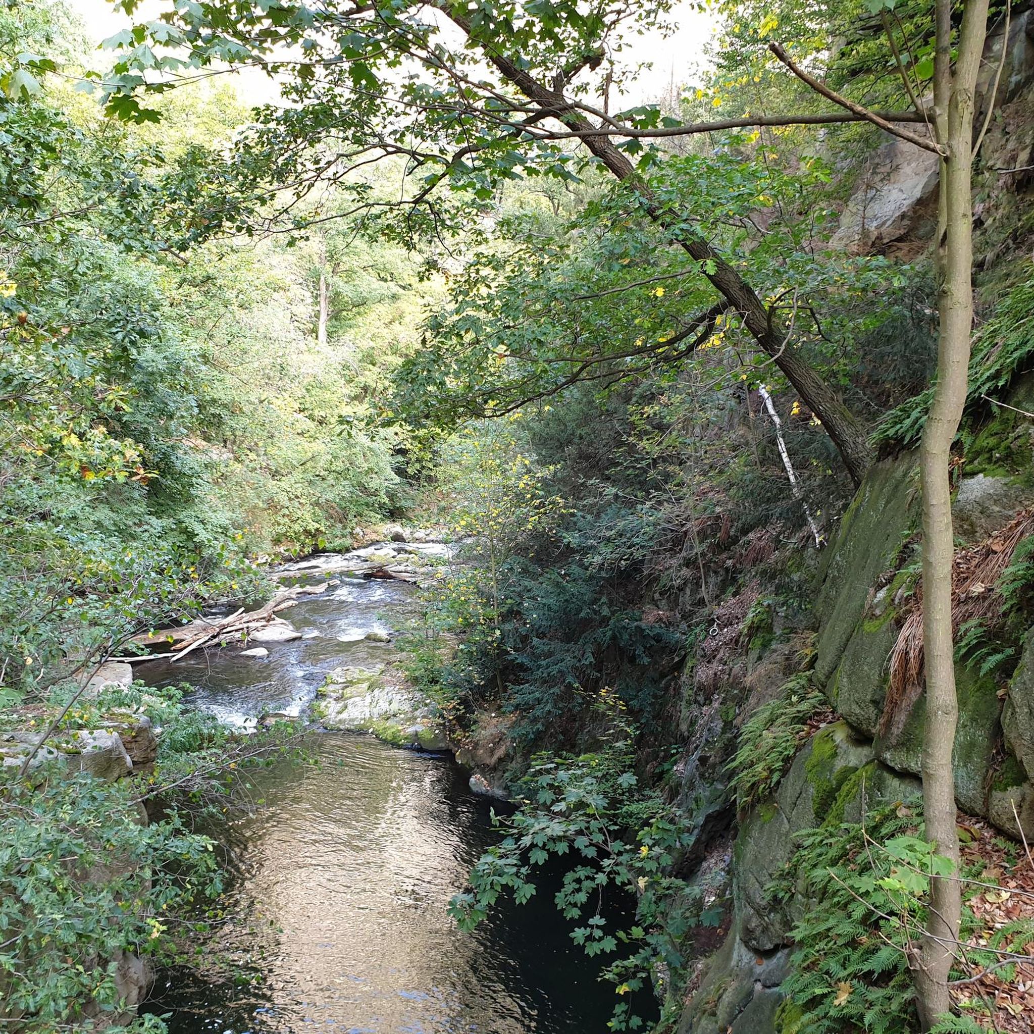
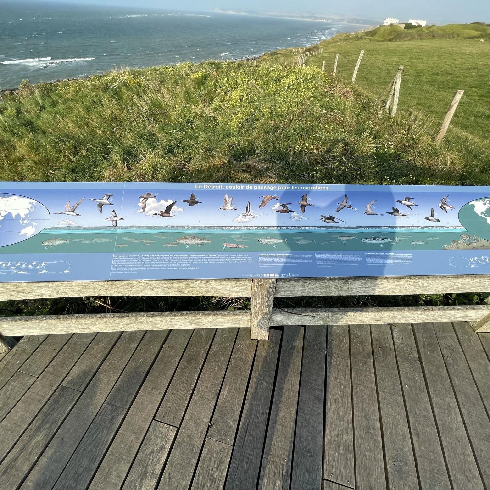
Tips from the Community

For walkers, Waterfoot is a pleasant alternative to the main road, as it passes close to the beach and behind the dunes, with beautiful views and no traffic.
1
0
Nice promenade with tables and a nice walk in front of the beach. It is dangerous to swim but the view is nice.
1
0
Near Cushendall, this ruined church was built in the 13th century and the adjacent graveyard is also home to notable figures such as a doctor famous for pioneering the use of chloroform in surgery.
0
0

Beautiful little harbour located in the seaside village of Cushendun. The Mary McBrides across the road from here sells delicious food and real ales. There is also a café and convenience store nearby where you can pick up some snacks and take a respite on the sandy shore nearby.
2
0

Especially nice and interesting at low tide
0
2

Good beach in front of the quiet and quaint village of Waterfoot. great views across the water to Scotland and a pub in the village for refreshments.
1
0
Quaint little coastal village, with a few good pubs and nice busy little harbour. There are much worse places to take a break.
1
0
Small coastal town with a few good pubs for refreshments. Main attraction is the wonderful beach and the grat views though.
0
1
Frequently Asked Questions
How many running routes are available around Tromra and County Clare?
Komoot features 18 diverse running routes in the broader Tromra and County Clare area. These include 3 easy, 10 moderate, and 5 difficult trails, catering to various fitness levels and preferences.
Are there any family-friendly jogging paths in the region?
Yes, the area offers several routes suitable for families. For a moderate option, consider the Cushendall Beach Promenade – Layd Church Ruins and Cemetery loop from Cushendall, which is 6.3 km long and combines seaside running with historical landmarks. The general coastal environment near Tromra, including beaches near Quilty, also provides gentler options for family outings.
Can I find circular jogging routes near Tromra?
Absolutely. Many of the running paths in the area are circular, offering convenient starting and ending points. Examples include the Waterfoot Beach – Cushendall Beach Promenade loop from Cushendall, a 8.7 km moderate route, and the longer Waterfoot Beach – Waterfoot Beach loop from Cushendall, which is 17.1 km and more challenging.
What kind of scenery can I expect on the running trails around Tromra?
The running trails around Tromra and County Clare offer stunning coastal scenery, characteristic of Ireland's Wild Atlantic Way. You'll experience rugged coastlines, sea air, and dramatic ocean views. Routes often combine beach sections with promenades and paths that may lead past historical sites like Tromra Castle, or natural features such as the Waterfoot Beach.
Are there any interesting landmarks or natural attractions along the jogging routes?
Yes, the region is rich in landmarks and natural beauty. You can incorporate historical sites like Tromra Castle into your run, or explore natural attractions such as the Inver River Waterfall, the unique Cushendun Caves, or enjoy views from Cushendun Harbour. The broader County Clare also features the iconic Cliffs of Moher and the Burren landscape.
What is the best season for running in Tromra?
Tromra's coastal location means the weather can be variable. While running is possible year-round, spring and summer generally offer milder temperatures and longer daylight hours, making them ideal for enjoying the scenic routes. Autumn can also be beautiful with changing foliage, though conditions might be wetter. Always be prepared for sudden weather changes, especially along the coast.
Are there options for advanced runners seeking a challenge?
Yes, for advanced runners, there are several challenging routes. The Waterfoot Beach – Waterfoot Beach loop from Cushendall is a difficult 17.1 km trail that will test your endurance. The wider County Clare also offers more demanding cliff climbs and longer sections of trails like the East Clare Way and Mid Clare Way.
Are the running paths in Tromra generally crowded?
While popular, many routes in the Tromra and County Clare area offer a sense of wildness and space, especially outside of peak tourist times. The extensive coastline and network of trails provide opportunities to find less crowded sections, allowing for a peaceful running experience amidst nature.
What should I wear for jogging in Tromra, considering the weather?
Given Tromra's coastal location on the Atlantic, weather can change quickly. It's advisable to dress in layers, even on sunny days. Waterproof and windproof outer layers are recommended, especially for runs along the coast. Sturdy running shoes with good grip are essential, as some paths can be muddy or uneven, particularly near Tromra Castle.
Are there any running routes that pass through or near villages where I could stop for refreshments?
Yes, some routes, particularly those that are part of longer walking trails like the East Clare Way or Mid Clare Way, pass through quaint villages. For example, the Cushendun Harbour – Cushendun Village loop from Cushendun is a moderate 6.7 km route that takes you near Cushendun Village, offering opportunities for a stop. The area around Quilty also provides local amenities.
What types of terrain can I expect on the jogging routes?
The terrain around Tromra is diverse, ranging from natural, unpaved paths to beach sections and promenades. You'll encounter rugged coastal trails, potentially muddy sections, and some routes may include boreens (narrow country roads) or forest tracks. This variety offers a dynamic and engaging experience for runners.
Is there public transport access to the jogging trails around Tromra?
While Tromra itself is a smaller area, public transport options exist within County Clare. It's best to check local bus schedules for connections to nearby towns like Quilty or Miltown Malbay, from which you might access various trailheads. Planning your route in advance and checking transport links is recommended.
Where can I find parking for the running routes?
Parking availability varies by trailhead. For routes starting near coastal villages or popular attractions, designated parking areas are often available. For example, if starting a run near Quilty, you can find local parking. It's advisable to check specific route details or local maps for parking information before heading out.
Most popular routes around Tromra
Most popular attractions around Tromra

Get inspired with the komoot mobile app


Explore more
Browse the best Running Trails & Routes in other regions.
