The best mountain hikes around Kirchberg im Wald
4.8
(11)
84
hikers
12
hikes
Mountaineering routes around Kirchberg im Wald are set within the scenic Bavarian Forest, characterized by elevated, forested landscapes and prominent summits. The region features mountains such as Geißkopf, standing at 3,600 feet (1,097 meters), and Brotjacklriegel, at 3,317 feet (1,011 meters), which offers panoramic views from its observation tower. Deep gorges like Steinklamm and unique moor landscapes in the Todtenau Nature Reserve add to the diverse terrain, providing varied challenges for mountaineers.
Best mountaineering routes around Kirchberg im Wald
- The…
Last updated: October 9, 2026
5.0
(1)
14
hikers
Moderate mountaineering route. Good fitness required. Easily-accessible paths. Suitable for all skill levels.
4.0
(1)
2
hikers
5.70km
01:53
250m
250m
Easy mountaineering route. Great for any fitness level. Easily-accessible paths. Suitable for all skill levels.

5.0
(2)
4
hikers
13.6km
04:00
380m
380m
Moderate mountaineering route. Good fitness required. Easily-accessible paths. Suitable for all skill levels.
6
hikers
Moderate mountaineering route. Good fitness required. Easily-accessible paths. Suitable for all skill levels.
3
hikers
Moderate mountaineering route. Good fitness required. Easily-accessible paths. Suitable for all skill levels.
Get access to more routes and recommendations from other explorers.
Already have an account?
Our route recommendations are based on thousands of hikes, rides, and runs completed by other people on komoot.
Start today with a free account
Your next adventure awaits.
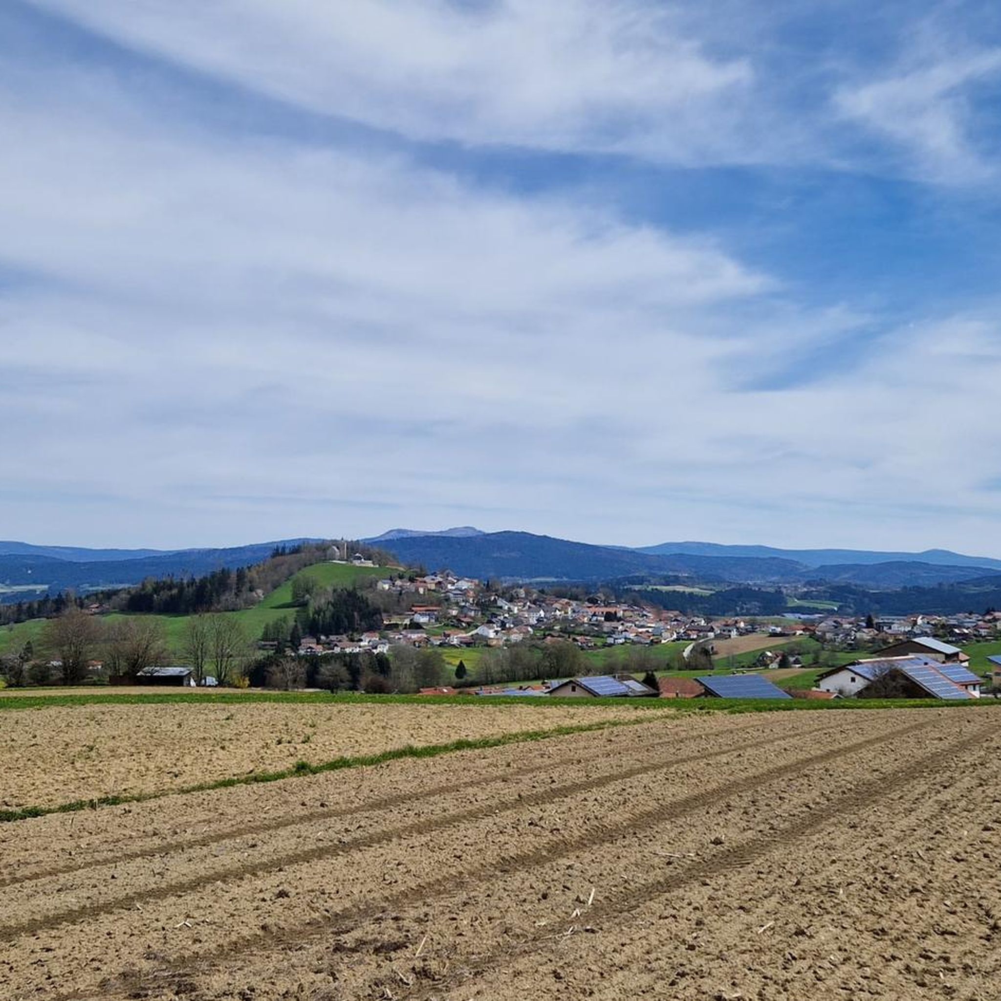
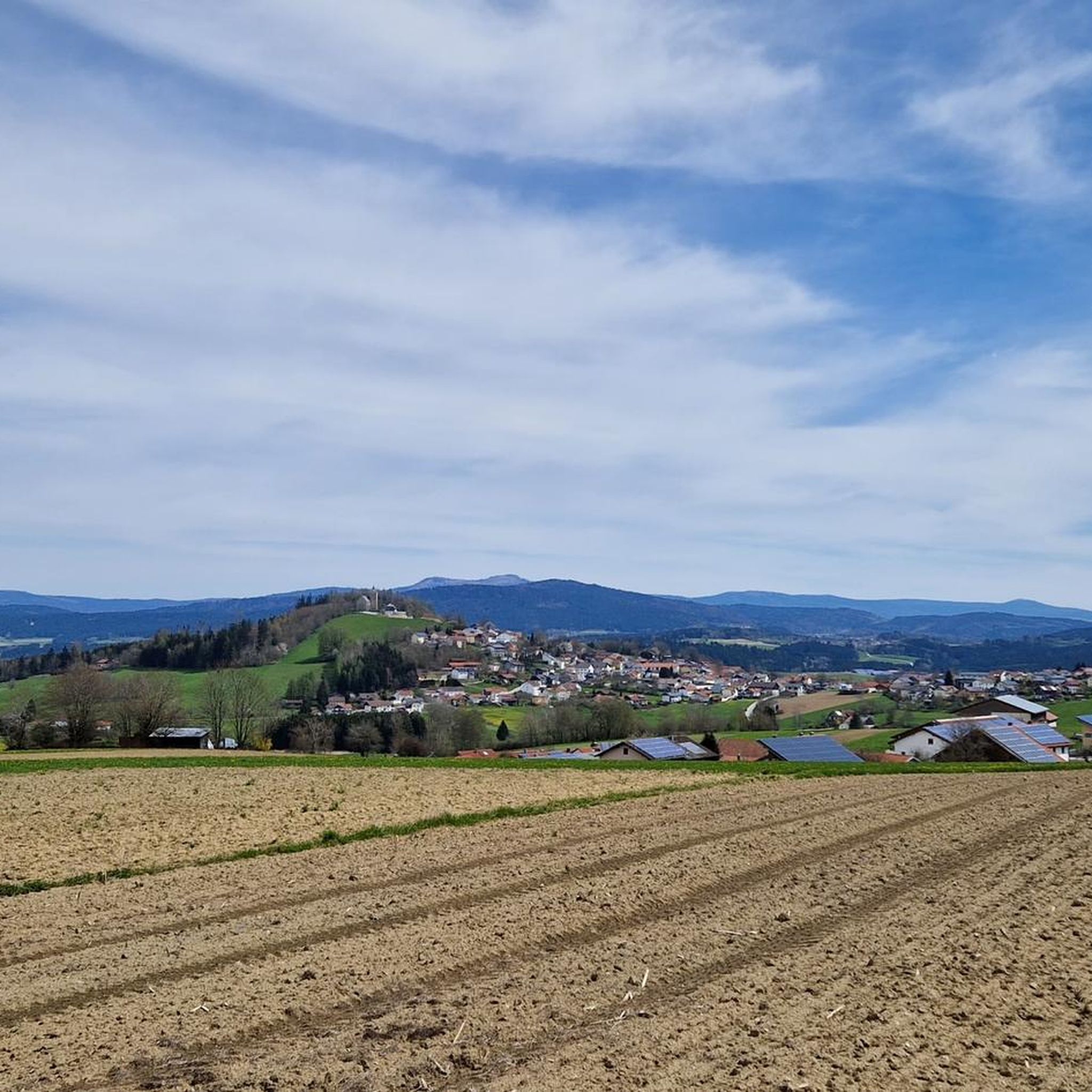
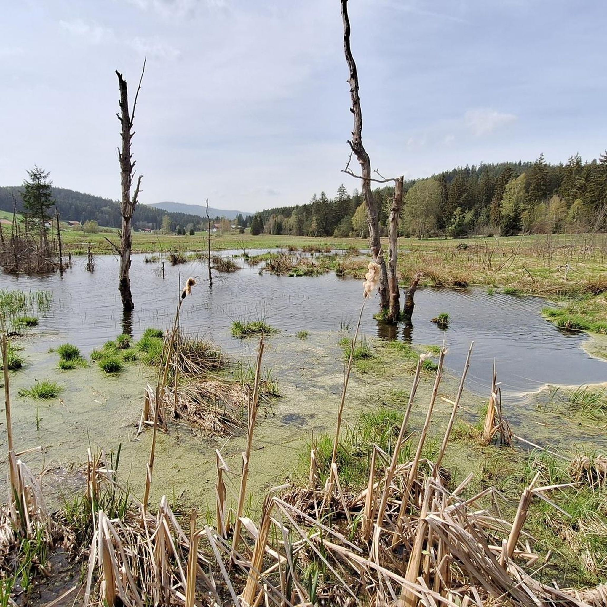
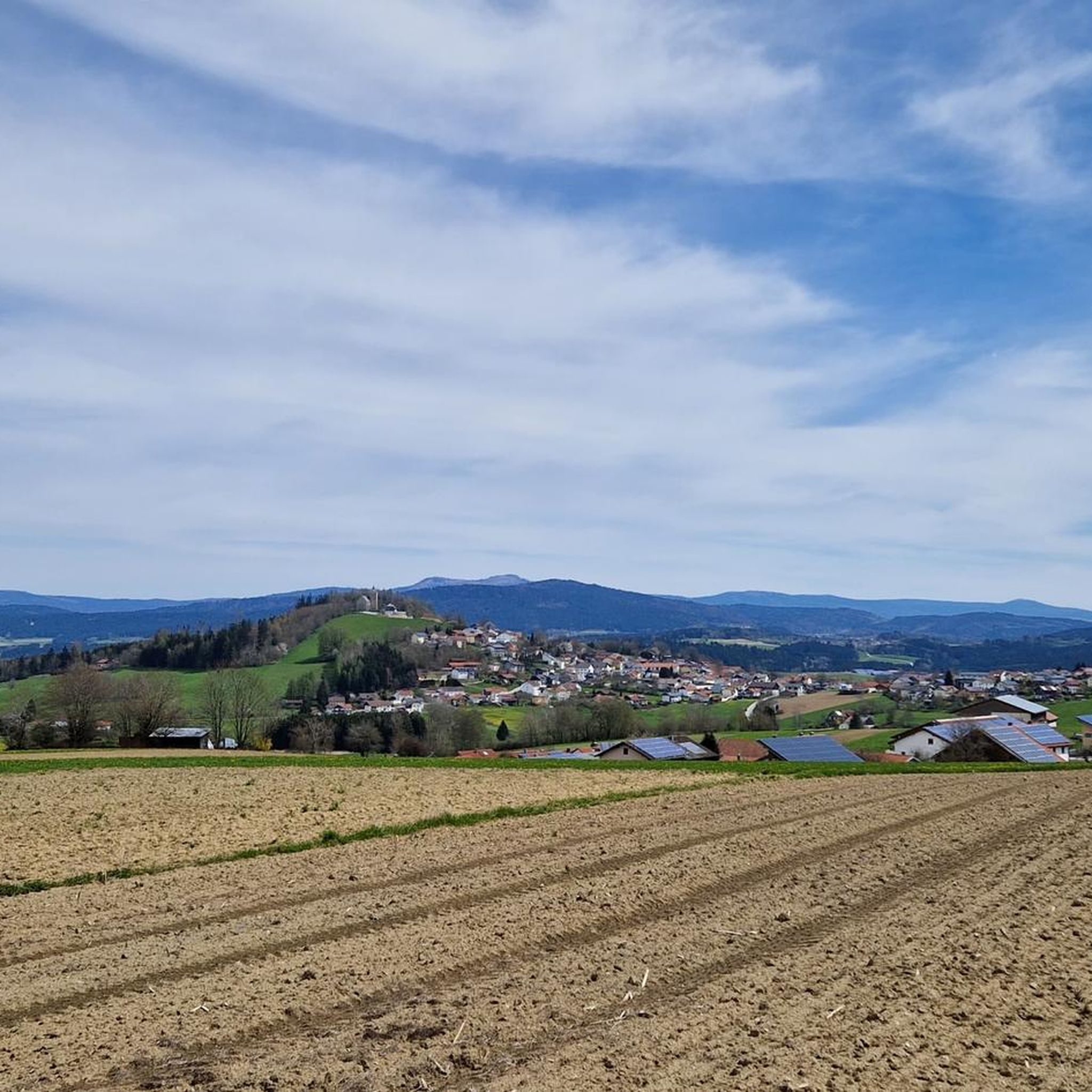
Tips from the Community

On a clear day, you can enjoy a magnificent view of the Danube plain and the Gäuboden region from up here. With a bit of luck, you might even see the Alps!
0
0

Possibility to start a tour from here
3
0

Definitely take it with you! The view is fantastic
1
0

Always worth a detour for bikers or hikers
0
0

The Großer Büchelstein in the municipality of Grattersdorf rises majestically above the Sonnenwald region. With a height of 832 meters, it offers a panoramic view that extends as far as the Alps in clear weather. The summit is a popular starting point for hang gliders and paragliders, who enjoy the thermals and the spectacular views. Hikers can follow well-marked trails through dense forests and over rolling hills that unfold their own charm in every season. Source: https://region-sonnenwald.de/berge/buechelstein?task=ggvz
5
0
Legend about the name "Brotjacklriegel": On this mountain, which can be seen from afar, a small, bearded man, Jackl, once found shelter during the Swedish War. Without leaving his cave, Jackl always had enough bread so that he did not have to starve. One day, when Jackl was looking to see if the Swedes had already left, they discovered him. After Jackl did not reveal the secret of his constant supply of bread, they pushed him back into his cave and rolled a heavy rock in front of him. This outrage caused a clap of thunder and the Swedes were turned into boulders that still lie on the mountain today. Source: https://www.nationalpark-ferienland-bayerischer-wald.de/der-brotjacklriegel-1-011-m/
4
1
The Sonnenwald adventure trail offers an exciting nature experience from the Sturmriegel car park to the Brotjacklriegel observation tower. In 10 stations over a total length of around 2 km, you will be introduced to the forest as a habitat, as a recreational area and as a supplier of raw materials.
1
0
The view is great and if you're lucky you can watch a hang glider take off.
3
0
Frequently Asked Questions
What kind of terrain can I expect on mountaineering routes around Kirchberg im Wald?
The mountaineering routes in Kirchberg im Wald are primarily set within the scenic Bavarian Forest, featuring elevated, forested landscapes. You'll encounter prominent summits like Geißkopf and Brotjacklriegel, as well as deep gorges such as Steinklamm and unique moor landscapes in the Todtenau Nature Reserve. The trails vary, offering everything from gentle forest paths to more challenging ascents.
Are there any easy mountaineering routes suitable for beginners or families?
Yes, there are easy routes available. For instance, the Little Büchelstein Viewpoint – Büchelstein Viewpoint loop from Kerschbaum is an easy 5.8 km path that offers rewarding views from multiple points. The region generally provides options for different ability levels, including family-friendly circular hikes like the one through the Todtenau Nature Reserve.
What are some notable viewpoints or landmarks I can find along the routes?
The region boasts several impressive viewpoints. The Brotjacklriegel Summit, at 1,011 meters, features a wooden observation tower offering expansive panoramic views of the Bavarian-Bohemian Border Ridge, the Passauer Land, and the Danube plain, extending as far as the Alps. The Geißkopf Summit also provides unforgettable nature experiences. You can also visit the Ruselabsatz Pass, which is a starting point for several tours.
Are there any circular mountaineering routes in the area?
Yes, many routes in Kirchberg im Wald are designed as loops. A popular moderate option is the Breitenauriegel Summit – Geißkopf Summit and Bike Park loop from Ruselabsatz, which is 15.4 km long and ascends to two significant summits. For an easier experience, consider the Little Büchelstein Viewpoint – Büchelstein Viewpoint loop from Kerschbaum, or a family-friendly circular hike through the Todtenau Nature Reserve.
What is the best time of year for mountaineering in Kirchberg im Wald?
Kirchberg im Wald is a 'four-season region.' While summer offers extensive hiking and relaxation opportunities, the Bavarian Forest provides a refreshing natural setting with clean air throughout the warmer months. During winter, areas like Geißkopf transform into ski areas, but many trails remain accessible for winter hiking, though conditions can be challenging and require appropriate gear.
Are there any huts or places to rest along the mountaineering trails?
Yes, there are several huts in the vicinity that can serve as resting points or destinations. You might encounter the Landshuter House, Hochwald Hut, Naturfreundehaus Loderhart, or the Geisskopf Hut. These can be great spots to take a break and enjoy the surroundings.
What other activities can I combine with mountaineering in this region?
Beyond mountaineering, the region offers a variety of outdoor activities. The Geißkopf area features a popular Bike Park, including the MTB Zone Bikepark Geisskopf and Flow Country Trail Geisskopf. There are also extensive cycling trails. In winter, Geißkopf offers skiing, tobogganing, and a snow park.
How many mountaineering routes are available in Kirchberg im Wald?
There are over 15 mountaineering routes around Kirchberg im Wald documented on komoot, catering to various skill levels. The majority of these, about 13, are rated as moderate, with a few easier options available.
What do other mountaineers say about the routes in Kirchberg im Wald?
The routes in Kirchberg im Wald are highly rated by the komoot community, with an average score of 4.8 stars from over 10 reviews. Mountaineers often praise the well-marked trails, the diverse forested landscapes, and the rewarding views from the summits.
Are there any routes that offer a glimpse into the region's history?
Yes, for those interested in history, the area near Geißkopf includes the ruins of the abandoned forest village of Oberbreitenau. Exploring this site offers a glimpse into the historical 'hard life of mountain farmers in the Bavarian Forest' while enjoying your mountaineering experience.
Is public transport available to access mountaineering trails in Kirchberg im Wald?
While specific public transport details for individual trailheads are not provided, Kirchberg im Wald is a recognized destination within the Bavarian Forest. It's advisable to check local bus schedules or regional transport options that connect to key starting points like Ruselabsatz Pass for accessing the trails.
Are there any nature trails or educational experiences along the routes?
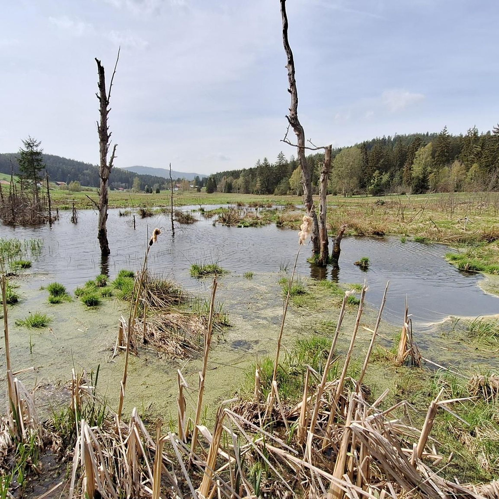
Yes, you can explore the Todtenau Nature Reserve and High Moor, which features a nature trail with information boards. Additionally, a 4.5 km long nature adventure trail (Naturerlebnispfad) starts at the town hall and leads to Dösingerried, offering an immersive experience in the local environment. The House of Bees (Haus der Bienen) also provides educational insights into beekeeping.
Most popular routes around Kirchberg im Wald
Most popular attractions around Kirchberg im Wald

Get inspired with the komoot mobile app


Explore more
Browse the best Mountain Hikes & Routes in other regions.
