The best mountain hikes around Kirchdorf im Wald
4.7
(10)
83
hikers
8
hikes
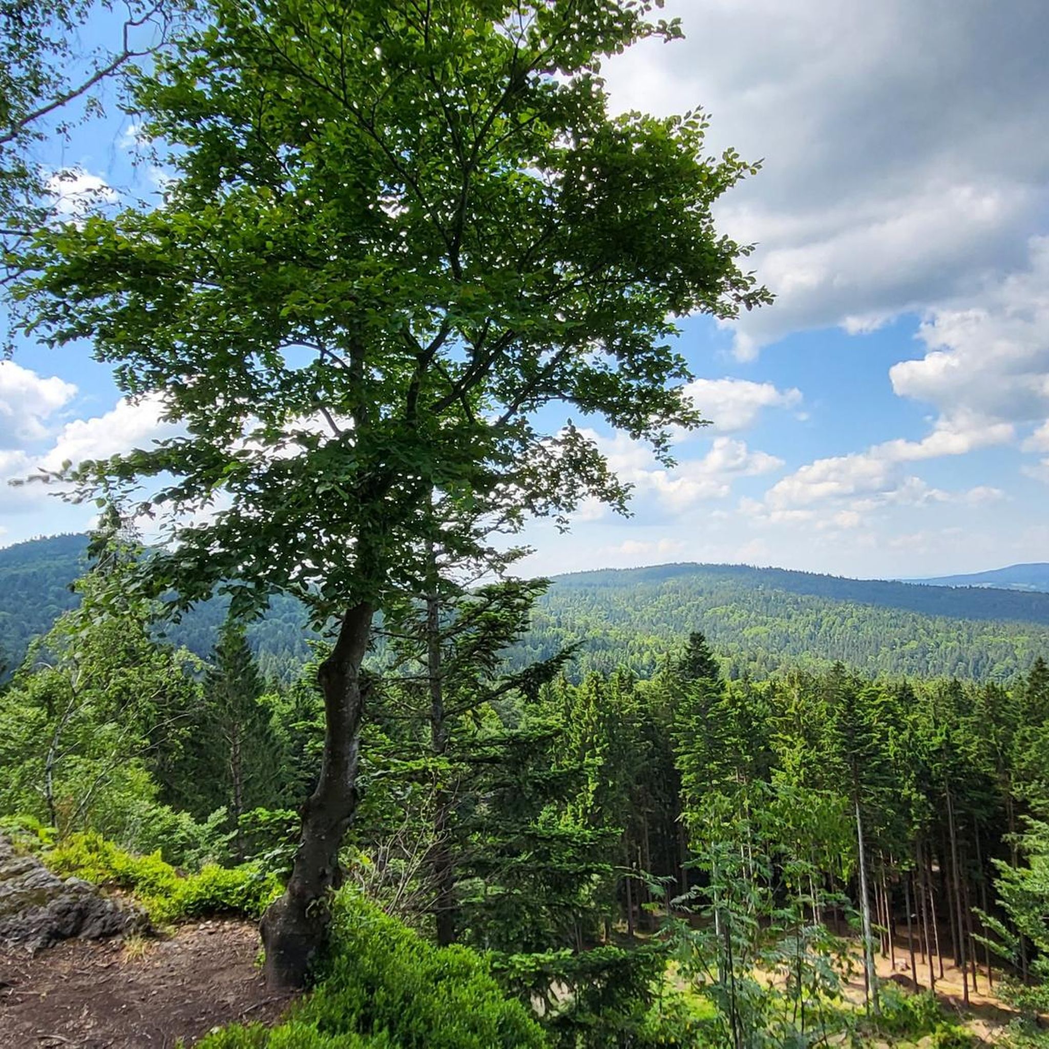
Mountaineering routes Kirchdorf im Wald are situated within the Bavarian Forest, a region characterized by rolling hills and dense forests. The area lies at the foot of the 1,042-meter-high Eschenberg, offering elevated terrain for exploration. Key features include peaks like Wagensonnriegel (959 meters) and Gsengetstein, providing rewarding views and diverse landscapes. This location serves as a gateway to the Bavarian Forest Nature Park and the National Park Bayerischer Wald, known for their rich flora and fauna.
Best mountaineering routes around…
Last updated: July 5, 2026
5.0
(1)
19
hikers
Hard mountaineering route. Very good fitness required. Mostly accessible paths. Sure-footedness required.
5.0
(4)
20
hikers
13.1km
04:29
670m
670m
Moderate mountaineering route. Good fitness required. Mostly accessible paths. Sure-footedness required.

Sign up for free
4.5
(2)
16
hikers
14.9km
04:53
690m
690m
Moderate mountaineering route. Good fitness required. Mostly accessible paths. Sure-footedness required.
11
hikers
6.46km
02:27
460m
460m
Moderate mountaineering route. Good fitness required. Easily-accessible paths. Suitable for all skill levels.
5.0
(2)
11
hikers
Moderate mountaineering route. Good fitness required. Easily-accessible paths. Suitable for all skill levels.
Get access to more routes and recommendations from other explorers.
Sign up for free
Already have an account?
Our route recommendations are based on thousands of hikes, rides, and runs completed by other people on komoot.
Start today with a free account
Your next adventure awaits.
Login or Signup
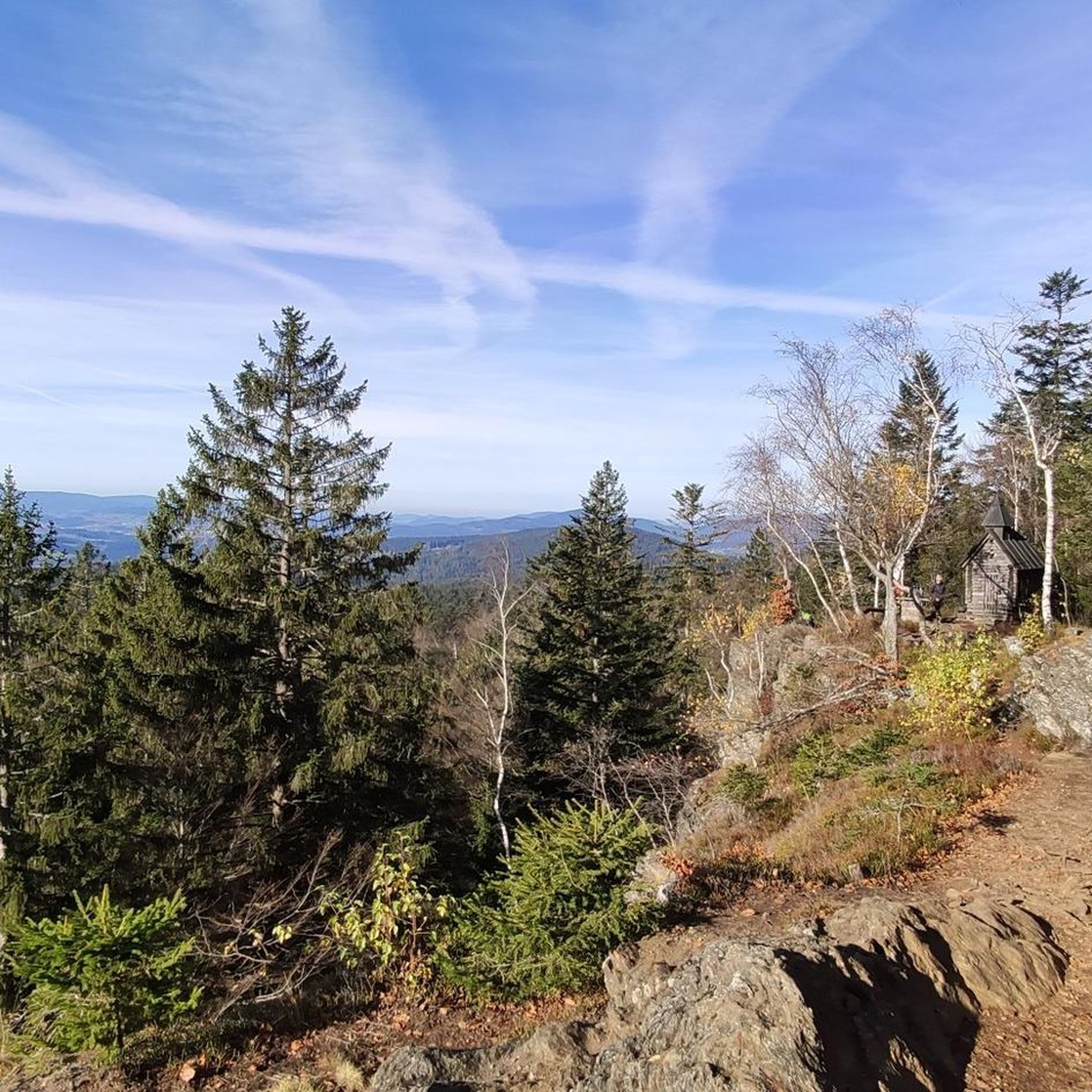
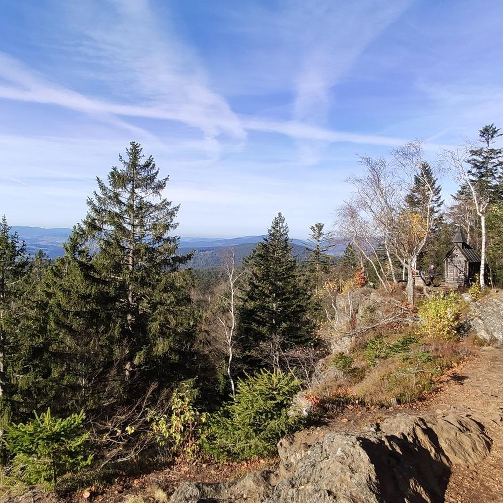
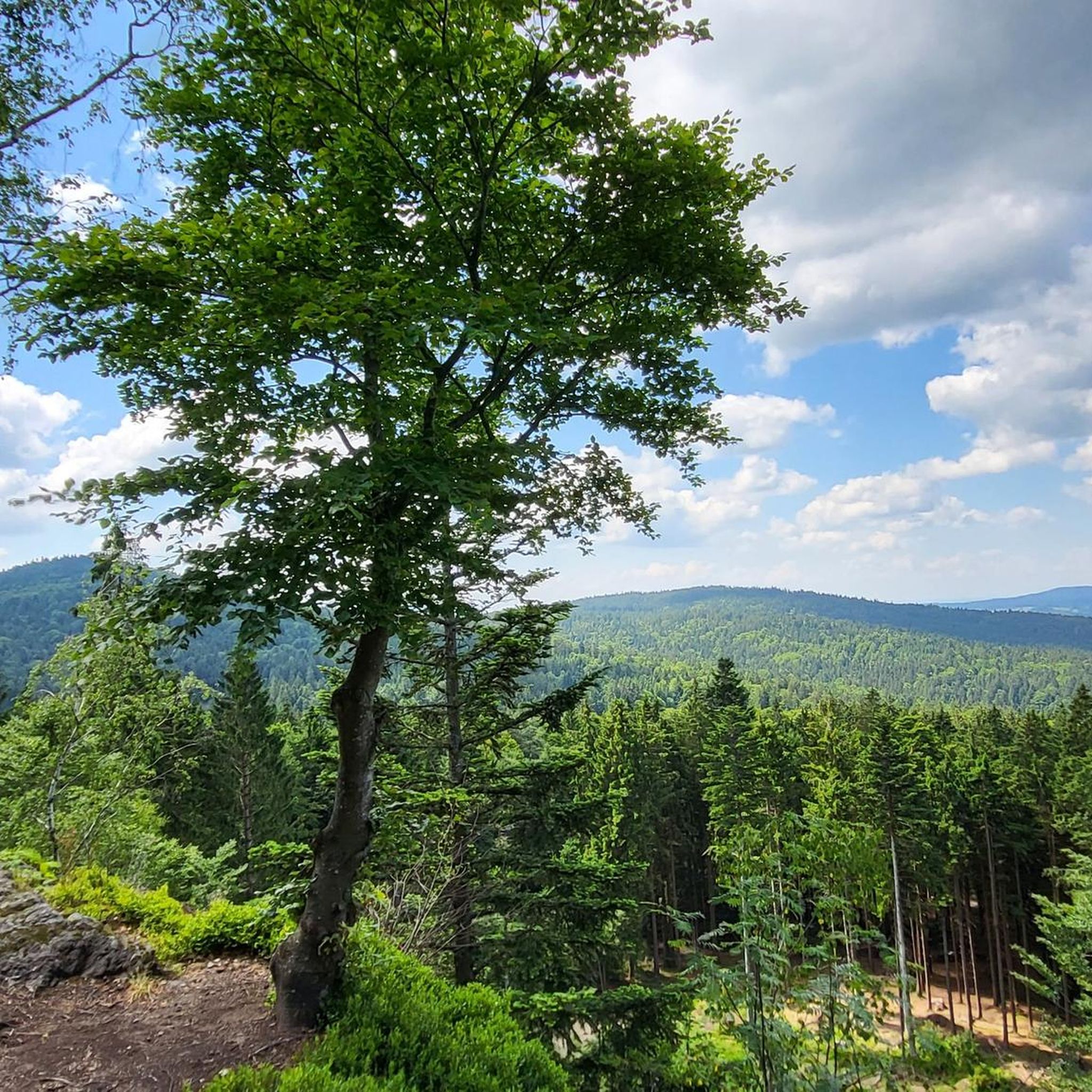
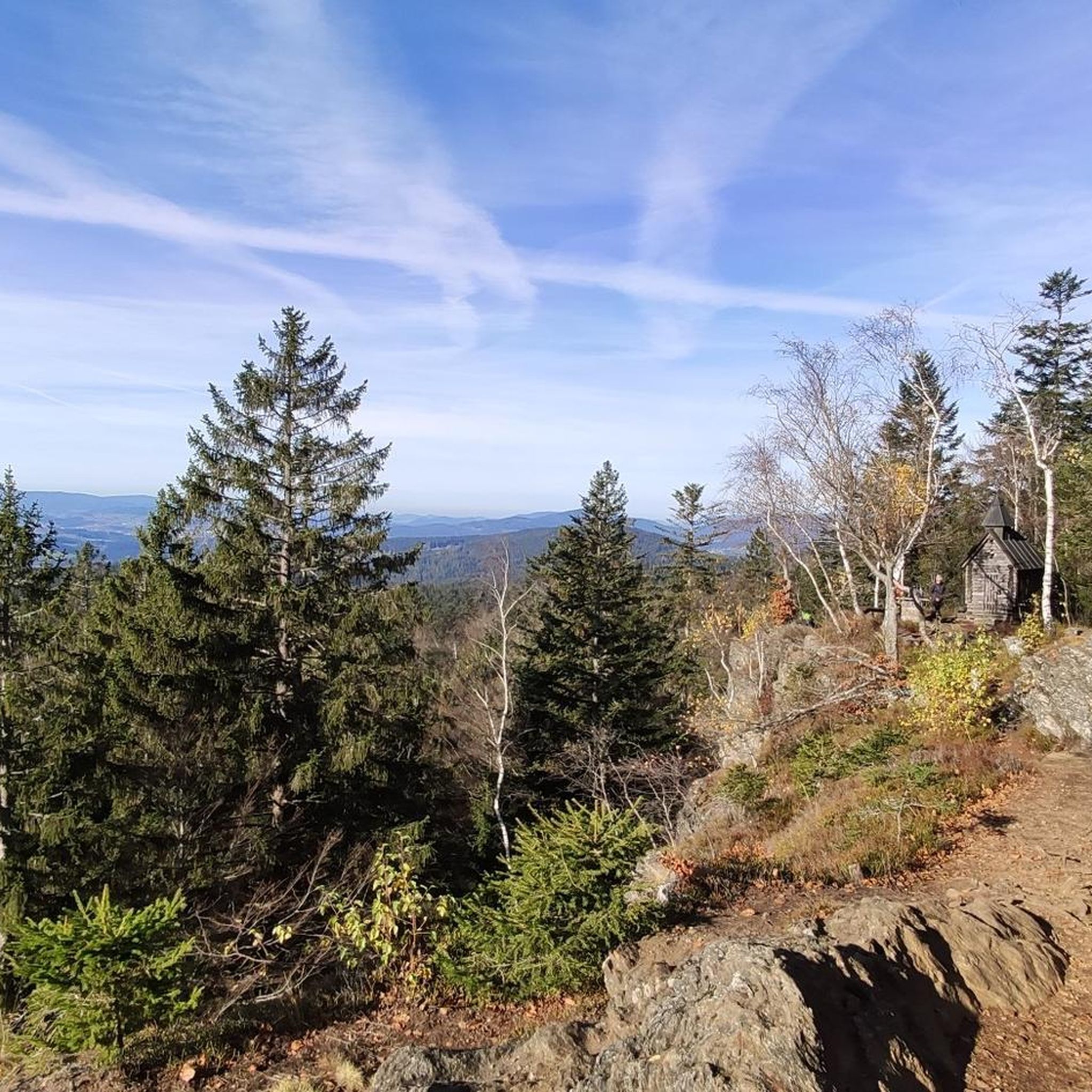

Tips from the Community


great place to take a break
0
0

rather practical in case bad weather does arise
0
0

Great panoramic view from the big Rachel
0
0
Currently unfortunately "out of order" - maybe reopened in 2025 when it has been rebuilt
1
0
Frequently Asked Questions
What is the best time of year for mountaineering in Kirchdorf im Wald?
The most pleasant seasons for mountaineering in Kirchdorf im Wald are spring and autumn. During these times, nature is either in full bloom or displaying vibrant colors, and temperatures are generally mild, making for ideal hiking conditions.
Are there any beginner-friendly mountaineering routes in the area?
Yes, Kirchdorf im Wald offers routes suitable for beginners. While many are moderate, there is at least one easy mountaineering route available. These trails typically feature less elevation gain and shorter distances, allowing for a gentle introduction to the region's beautiful landscapes.
Can I find challenging mountaineering routes near Kirchdorf im Wald?
Absolutely. For those seeking a challenge, there are difficult mountaineering routes available. One such demanding path is the Frauenau Drinking Water Reservoir – Großer Rachel Summit loop from Oberfrauenau, which covers 11.4 miles (18.3 km) and features significant elevation gain as it ascends towards the Großer Rachel Summit.
Are there any circular mountaineering routes around Kirchdorf im Wald?
Yes, many of the mountaineering routes in the area are designed as loops, allowing you to start and end at the same point. A popular example is the Rachel Summit (Rachel Peak) – Waldschmidt Hut loop from Gfäll, a moderate 6.8-mile (10.9 km) trail offering scenic views.
What kind of views can I expect on these mountaineering routes?
The routes around Kirchdorf im Wald offer diverse and rewarding views. You can expect panoramic vistas from peaks like Wagensonnriegel, which provides excellent views to the south and west. Many trails also lead through dense forests and along rolling hills, offering picturesque natural scenery.
Are there any family-friendly attractions or activities near the mountaineering trails?
Yes, the region offers several family-friendly attractions. The nearby National Park Bayerischer Wald features the Hans-Eisenmann-Haus and a large animal enclosure (Tierfreigelände). Additionally, the Tree Top Walk (Baumwipfelpfad) allows visitors to walk above the forest floor, offering unique perspectives and panoramic views from its observation tower.
Are dogs allowed on the mountaineering trails in Kirchdorf im Wald?
Many trails in the Bavarian Forest region are dog-friendly, but it's always advisable to check specific regulations for national park areas or protected zones. Generally, dogs are welcome on a leash, allowing you to explore the beautiful landscapes with your canine companion.
What interesting landmarks or natural features can I discover along the routes?
Beyond the stunning natural landscapes, you can discover several points of interest. The Wagensonnriegel summit cross offers a cultural and scenic highlight. The Frauenbrünnl Pilgrimage Chapel near Gehmannsberg is also part of a historical trail, providing both cultural insight and scenic views. For those seeking unique natural formations, the Teufelsloch (Devil's Hole) features impressive rock formations and a mystical charm.
How do other mountaineers rate the routes in Kirchdorf im Wald?
The mountaineering routes in Kirchdorf im Wald are highly regarded by the komoot community, with an average rating of 4.8 stars from over 10 reviews. Users frequently praise the well-maintained trails, the beauty of the Bavarian Forest, and the diverse options for different skill levels.
Are there any longer mountaineering tours for experienced hikers?
Experienced hikers looking for longer tours will find suitable options. The Rachel Summit (Rachel Peak) – Rachel Lake loop from Klingenbrunn is a challenging 12.1-mile (19.5 km) route that takes approximately 6 hours to complete, offering an extensive exploration of the Rachel area.
Can I reach the mountaineering trailheads using public transport?
While Kirchdorf im Wald is well-situated for exploring the Bavarian Forest, public transport options to specific trailheads might be limited. It's recommended to check local bus schedules or consider driving to the starting points, especially for routes deeper within the national park areas.
Are there any routes that offer views of the Großer Rachel Summit?
Yes, several routes provide excellent opportunities to experience the Großer Rachel Summit. For instance, the Rachel Summit (Rachel Peak) – Großer Rachel Summit loop from Klingenbrunn is an 8.1-mile (13.1 km) trail that leads through the forested slopes of the Rachel area, offering views and access to this prominent peak.
Most popular routes around Kirchdorf im Wald
Most popular attractions around Kirchdorf im Wald

Get inspired with the komoot mobile app


Explore more
Browse the best Mountain Hikes & Routes in other regions.
