The best running trails around Patersdorf
4.0
(5)
70
runners
13
runs
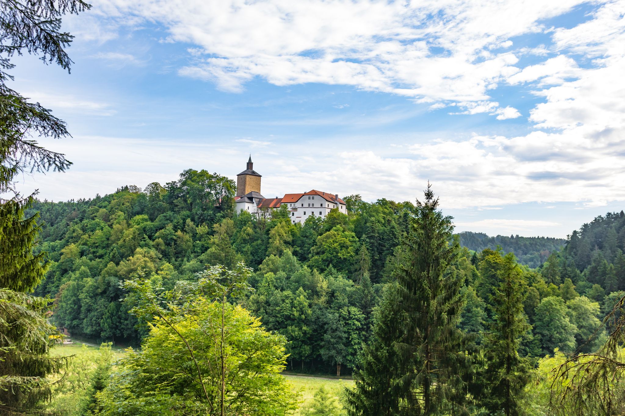
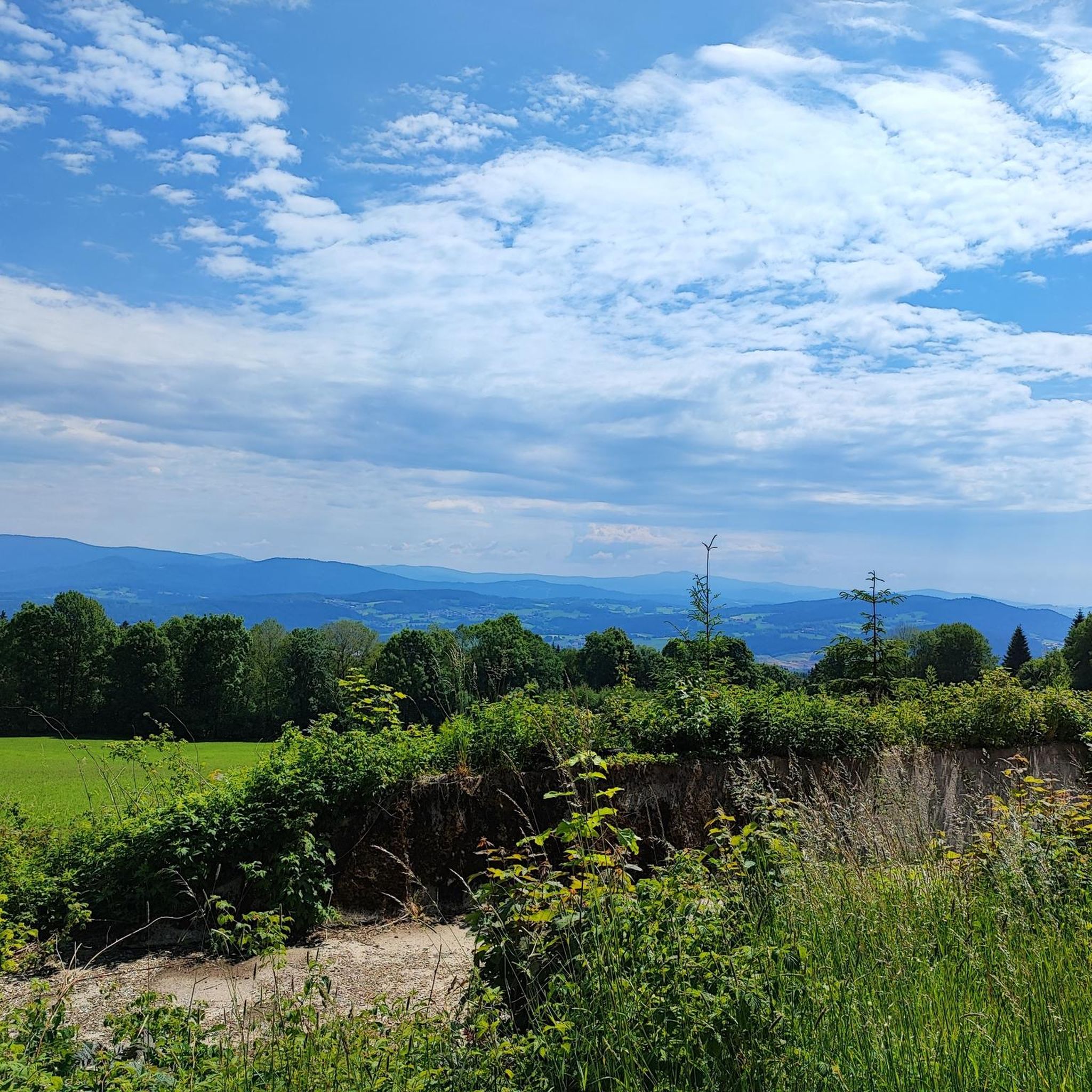
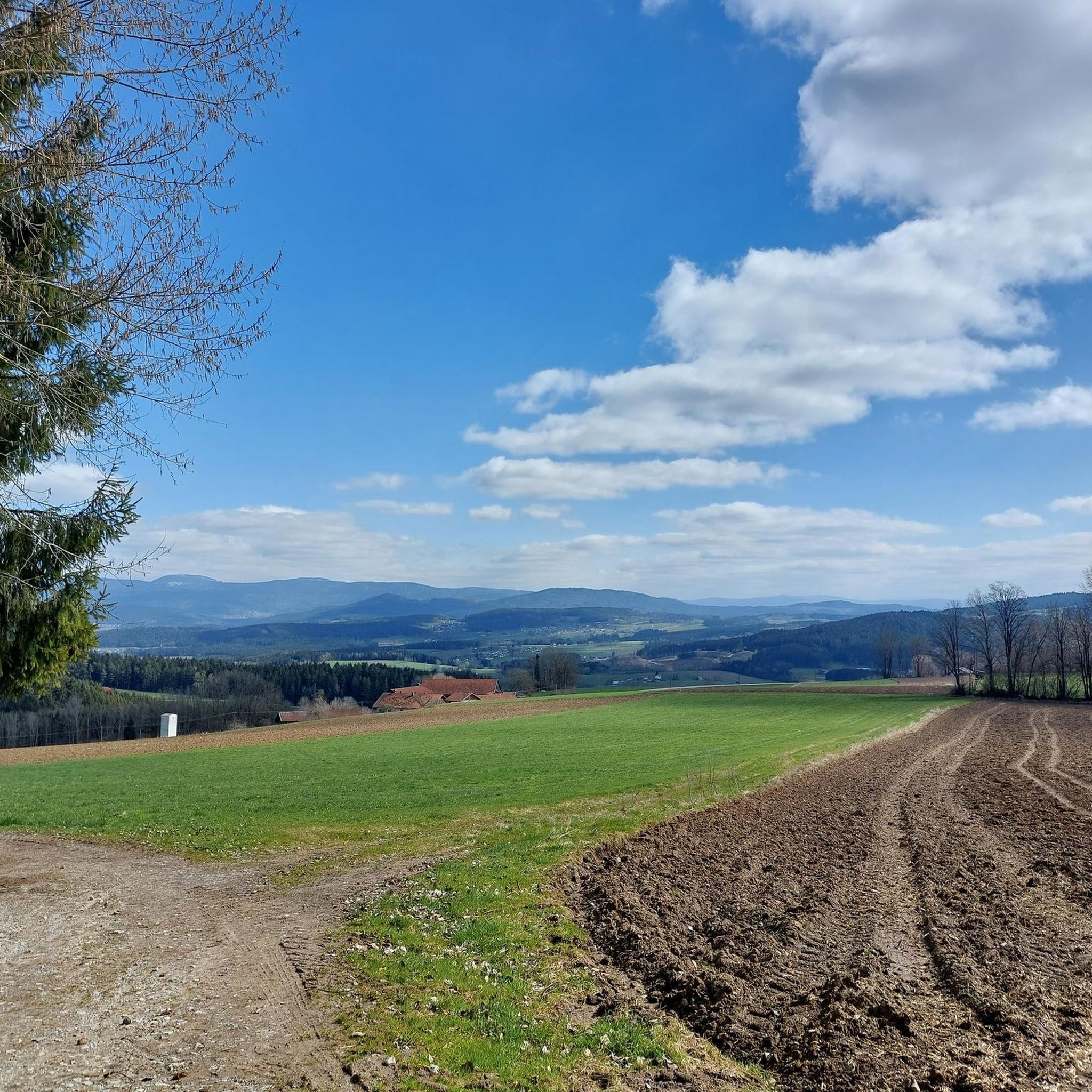
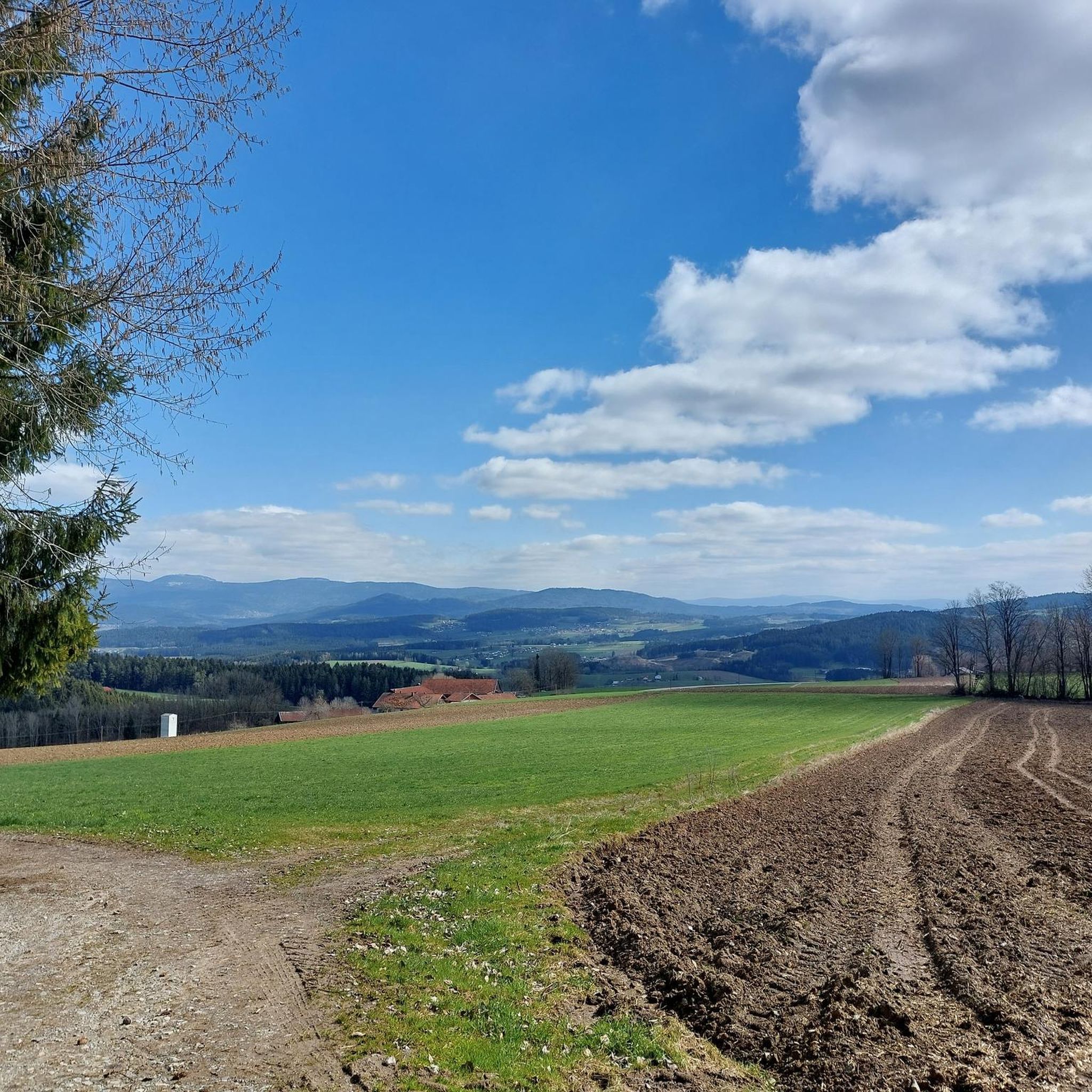
Jogging around Patersdorf offers diverse terrain within the Bavarian Forest, characterized by extensive forest trails and varied elevations. The region's landscape includes dense forests, rolling hills, and idyllic valleys, providing a scenic backdrop for outdoor activities. Elevations range from 500 m to 810 m within the municipality, offering options for different fitness levels. Numerous well-developed trail networks wind through this area, making it suitable for both gentle runs and more challenging ascents.
Best jogging routes around Patersdorf
- The most popular jogging route is St. Martin Parish Church loop from Patersdorf, a 4.9 miles (7.9 km) trail that takes about 50 minutes to complete, offering views of the local landscape.
- Another top favourite among local runners is Running loop from Ruhmannsfelden, a moderate 4.6 miles (7.5 km) path. This route navigates through forest paths and offers a consistent running experience.
- Local runners also love the Running loop from Patersdorf, a 4.5 miles (7.3 km) trail leading through varied terrain, often completed in about 45 minutes.
- Jogging around Patersdorf is defined by mountainous terrain, extensive forest trails, and varied elevations. The network offers options for different ability levels, from easy paths to moderate inclines.
- The routes in Patersdorf are highly rated by the komoot community with an average score of 4.0 stars from more than 4 reviews. More than 75 runners have used komoot to explore Patersdorf's varied terrain.
Last updated: July 5, 2026
3.0
(2)
12
runners
7.88km
00:52
90m
90m
Moderate run. Good fitness required. Mostly paved surfaces. Suitable for all skill levels.
6
runners
4.95km
00:32
40m
40m
Easy run. Great for any fitness level. Mostly paved surfaces. Suitable for all skill levels.

Sign up for free
7
runners
8.06km
00:53
80m
80m
Moderate run. Good fitness required. Mostly paved surfaces. Suitable for all skill levels.
4.0
(2)
7
runners
7.48km
00:52
180m
180m
Moderate run. Good fitness required. Mostly paved surfaces. Suitable for all skill levels.
8
runners
6.51km
00:47
170m
170m
Moderate run. Good fitness required. Mostly paved surfaces. Suitable for all skill levels.
Get access to more routes and recommendations from other explorers.
Sign up for free
Already have an account?
Our route recommendations are based on thousands of hikes, rides, and runs completed by other people on komoot.
Start today with a free account
Your next adventure awaits.
Login or Signup


Other adventures around Patersdorf

Tips from the Community

Parish church of St. Martin The church was probably built in the 9th century. The patron St. Martin of Tours refers to this time. The altarpiece, the division of the cloak in the chancel, the healing of a blind man and a possessed man and Martin's hour of death tell of him. It wasn't until April 30, 1393 that one found in a sales deed: The "fiefdom of Teisnach the dear St. Martin" was sold. The plague brotherhoods had already been formed in 1615 and this led to pilgrimages to the plague saints. Above all, St. Sebastian, the second patron of the church, was a contact person for people's needs, worries and fears. Sebastian was commander of the imperial bodyguard in the 3rd century. Because of his confession of Jesus Christ, he was sentenced to death, but survived being shot with arrows by the soldiers of Emperor Diocletian. When he recovered, he confronted the emperor about the persecution of Christians. He was then killed. The former brotherhood altar, the left side altar made of stucco marble, is particularly impressive. Experts consider it to be a treasure that was unaffordable at the time. The inscription in the choir arch also refers to the plague saint Sebastian in 1722 (Latin numbers in red): Source: https://www.patersdorf.de/tourismus/gehenswuerdigkeiten/pfarrkirche-st-martin.html
0
0

Late Gothic hall church. Currently closed for renovations.
2
0

The Church of St. Martin probably dates back to the 9th century, but it was first mentioned in a document in 1393. The interior of the church is very magnificent, and the former brotherhood altar is particularly impressive.
1
0
Frequently Asked Questions
How many running routes can I explore around Patersdorf?
Patersdorf offers a diverse network of over 15 running routes, catering to various preferences and fitness levels. These trails wind through the scenic Bavarian Forest, providing ample opportunities for outdoor activity.
What kind of terrain can I expect on the jogging trails in Patersdorf?
The jogging trails in Patersdorf feature a varied landscape, from extensive forest paths to more challenging mountainous terrain. With elevations ranging from 500m to 810m within the municipality, you'll find options for both gentle runs and routes with moderate inclines, offering a good workout amidst nature.
Are there any easy jogging routes suitable for beginners or a relaxed pace?
Yes, Patersdorf has several easier running options. For instance, the region offers 4 routes classified as easy, perfect for those looking for a less strenuous experience or just starting out. These routes typically feature gentler gradients and well-maintained paths.
Can I find circular running routes in Patersdorf?
Many of the running routes around Patersdorf are designed as loops, allowing you to start and finish at the same point. A popular choice is the St. Martin Parish Church loop from Patersdorf, which is 4.9 miles (7.9 km) long and offers scenic views.
Are there any running routes with panoramic views or viewpoints?
Absolutely! Patersdorf's location in the Bavarian Forest means many routes offer stunning vistas. Peaks like Spitzberg (810m) provide fantastic views of the surrounding forest, including Großer Arber and Lusen. While specific running routes to these summits might be more challenging, many trails offer glimpses of the beautiful landscape.
What do other runners say about the trails in Patersdorf?
The running routes in Patersdorf are highly regarded by the komoot community, with an average rating of 4.0 stars from more than 4 reviews. Runners often praise the varied terrain, the serene forest paths, and the opportunity to connect with nature in this picturesque region.
Are there any attractions or landmarks I can see along the running routes?
While running, you can encounter various points of interest. For example, the Burgruine Linden loop from Patersdorf passes by the ruins of Linden Castle. You might also find historical sites like the Kreuzweg bei Tradweging (Stations of the Cross) or even natural features like the Geotop Pfahl on some of the wider hiking trails that double as running paths.
Are there any waterfalls near the jogging trails in Patersdorf?
Yes, the region around Patersdorf is home to several beautiful waterfalls that can be incorporated into or visited after your run. Notable ones include the Böbrach Waterfall and the Klinglbach Waterfall. You can find more details in the Waterfalls around Patersdorf guide.
Are the running trails in Patersdorf suitable for families?
Many of Patersdorf's trails, particularly the easier and moderate ones with gentler gradients and well-maintained surfaces, are suitable for families. These routes offer a great way to enjoy the Bavarian Forest together. Always check the specific route details for distance and elevation to ensure it matches your family's capabilities.
What is a good route for a moderate run in Patersdorf?
A great option for a moderate run is the Running loop from Ruhmannsfelden. This 3.1-mile (5.0 km) path navigates through forest trails and provides a consistent running experience, typically taking around 30-35 minutes to complete.
Are there longer running routes available for more experienced runners?
For those seeking a longer challenge, routes like the Running loop from Knabenhof offer a distance of 4.0 miles (6.5 km) with a more significant elevation gain of over 170 meters, providing a more demanding workout.
Is parking available near the running trailheads in Patersdorf?
Yes, many of the running routes in and around Patersdorf have designated parking areas near their starting points. It's advisable to check the specific route details on komoot for information on parking facilities to plan your run conveniently.
Most popular routes around Patersdorf
Most popular attractions around Patersdorf

Get inspired with the komoot mobile app


Explore more
Browse the best Running Trails & Routes in other regions.
