The best mountain hikes around Rinchnach
4.9
(16)
124
hikers
14
hikes
Mountaineering routes around Rinchnach are situated within the Bavarian Forest, offering a diverse landscape for strenuous mountain walks. The region features significant peaks such as Großer Rachel, Geißkopf, and Hennenkobel, providing varied terrain from dense forests to rocky summits. These mountains contribute to challenging ascents and panoramic views across the Bavarian and Bohemian Forests. The area is characterized by its rugged beauty, with quartz rock formations and deep gorges like Steinklamm adding to the natural features.
Best mountaineering routes around…
Last updated: July 5, 2026
5.0
(1)
19
hikers
Hard mountaineering route. Very good fitness required. Mostly accessible paths. Sure-footedness required.
5.0
(4)
20
hikers
13.1km
04:29
670m
670m
Moderate mountaineering route. Good fitness required. Mostly accessible paths. Sure-footedness required.

Sign up for free
4.5
(2)
16
hikers
14.9km
04:53
690m
690m
Moderate mountaineering route. Good fitness required. Mostly accessible paths. Sure-footedness required.
11
hikers
6.46km
02:27
460m
460m
Moderate mountaineering route. Good fitness required. Easily-accessible paths. Suitable for all skill levels.
5.0
(2)
11
hikers
Moderate mountaineering route. Good fitness required. Easily-accessible paths. Suitable for all skill levels.
Get access to more routes and recommendations from other explorers.
Sign up for free
Already have an account?
Our route recommendations are based on thousands of hikes, rides, and runs completed by other people on komoot.
Start today with a free account
Your next adventure awaits.
Login or Signup
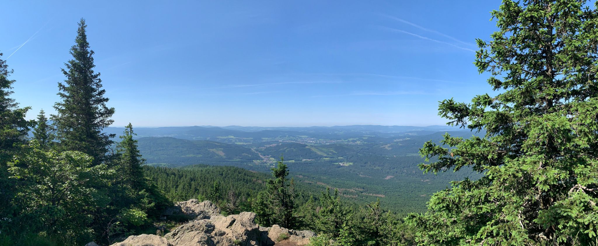
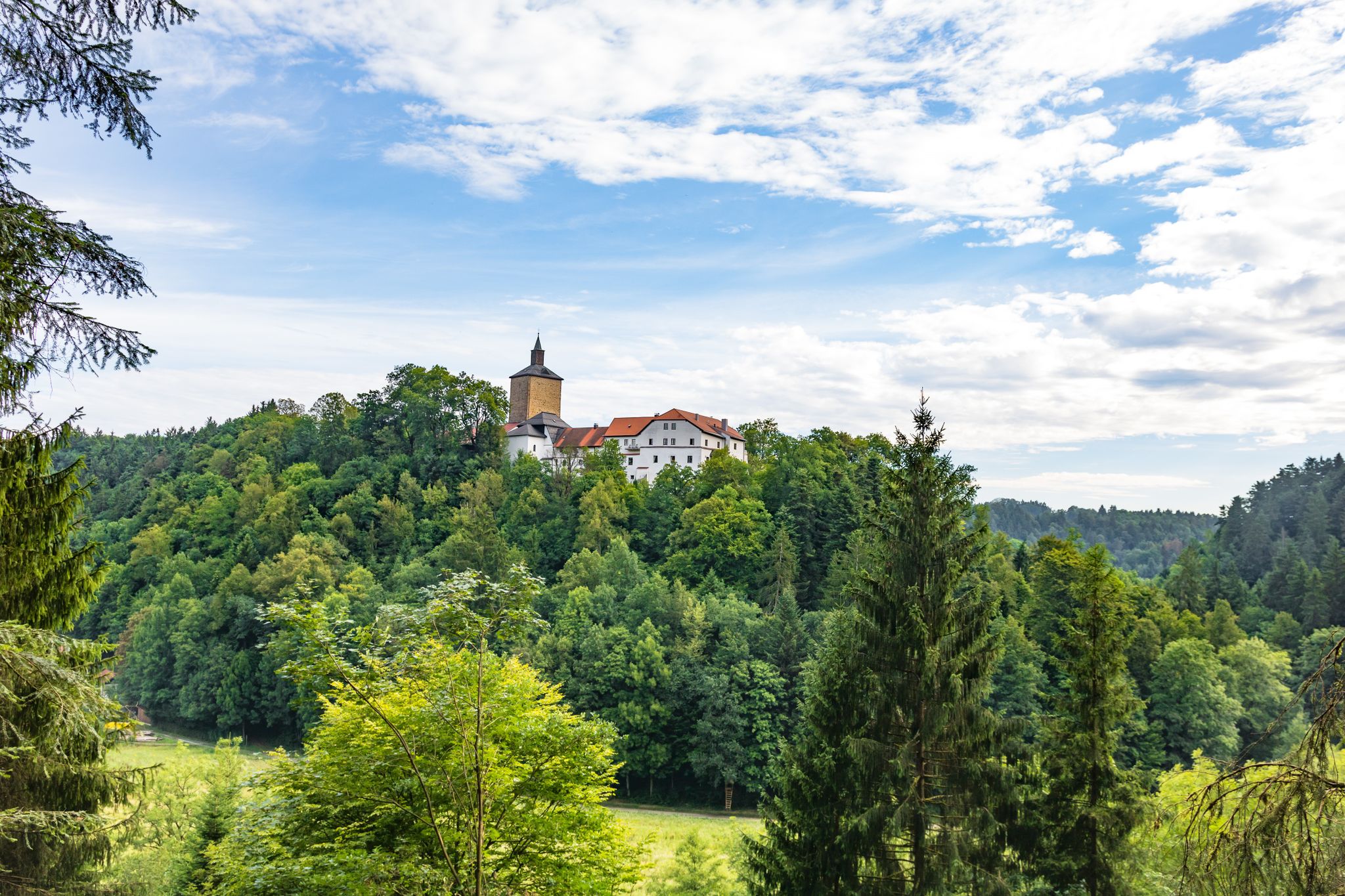
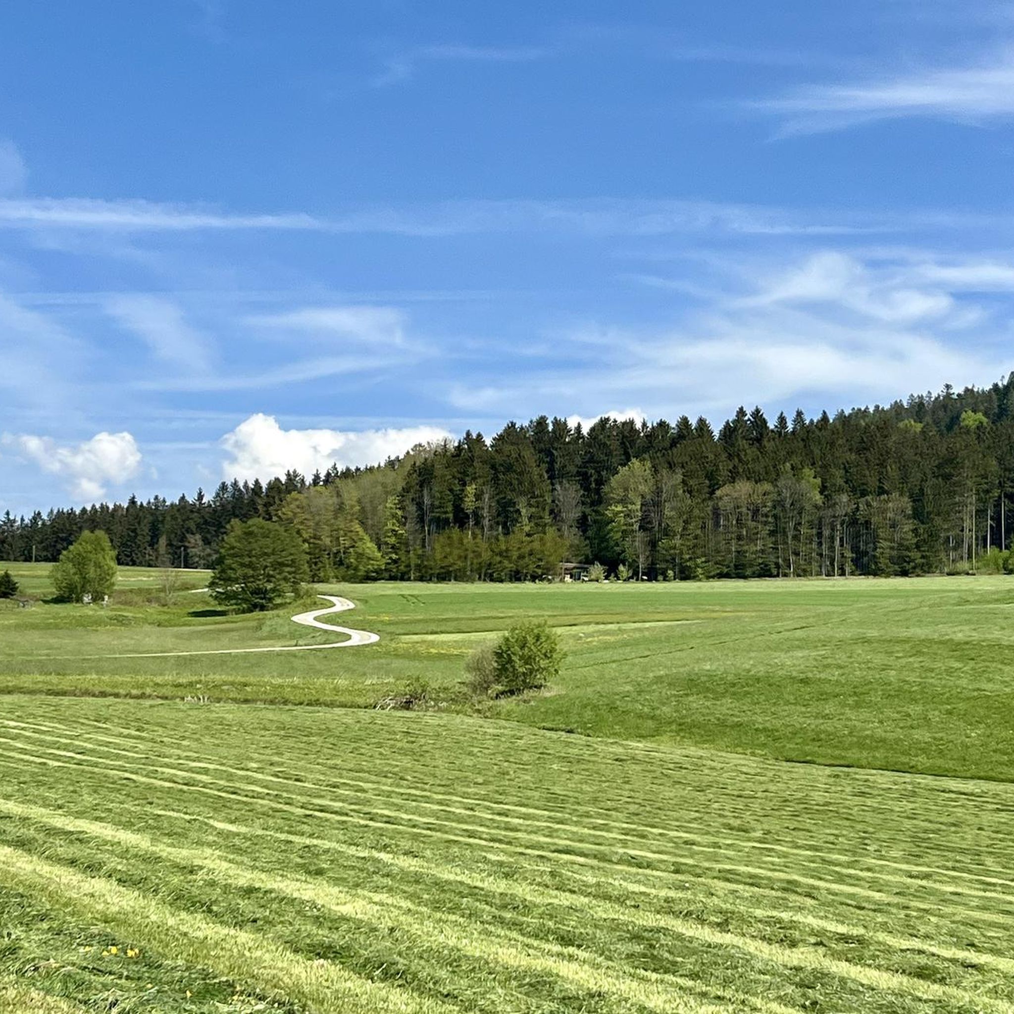
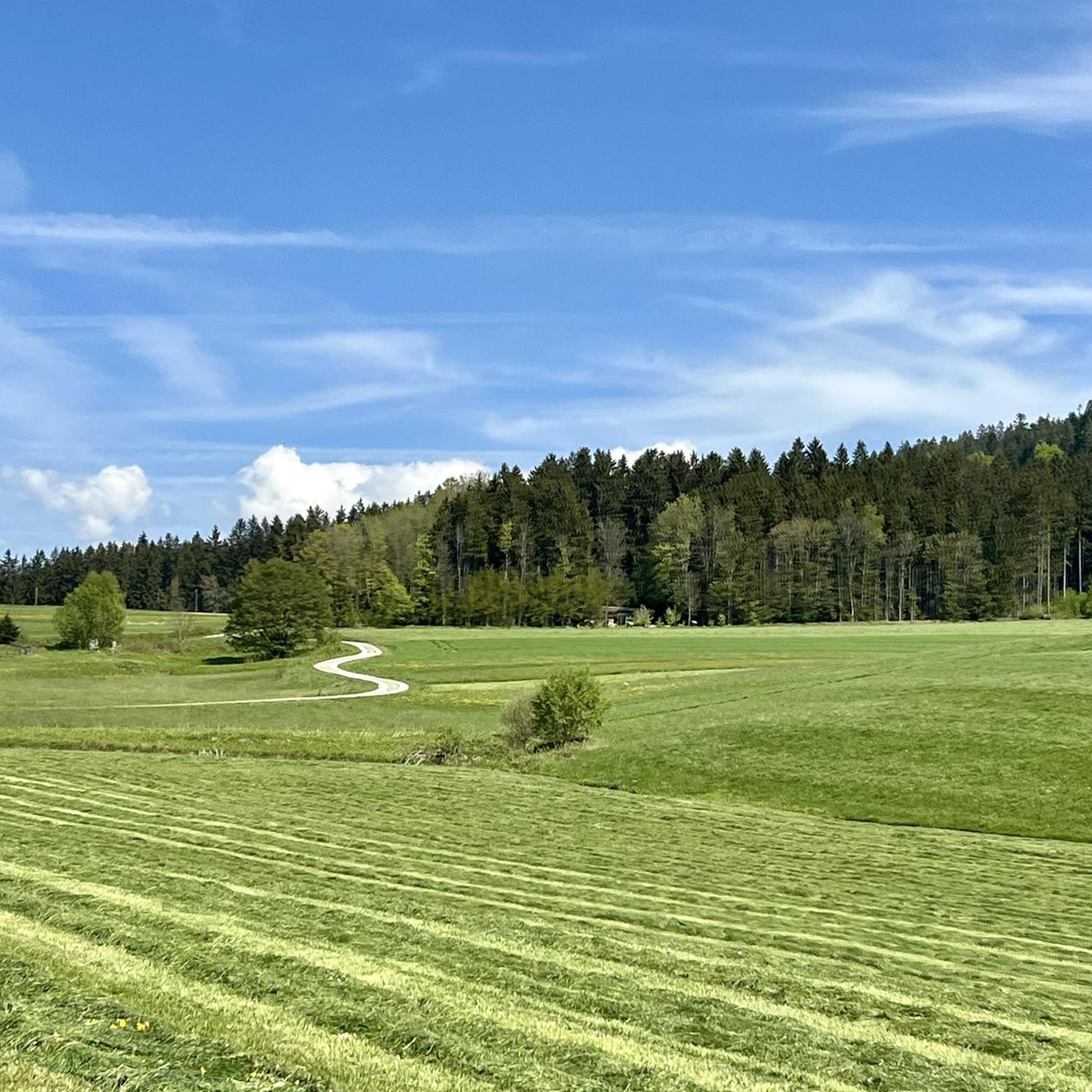
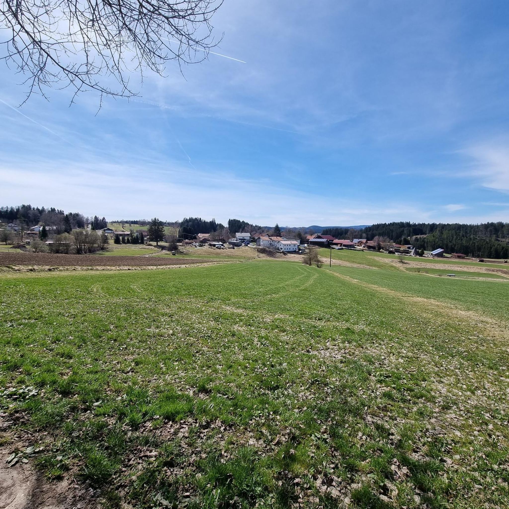
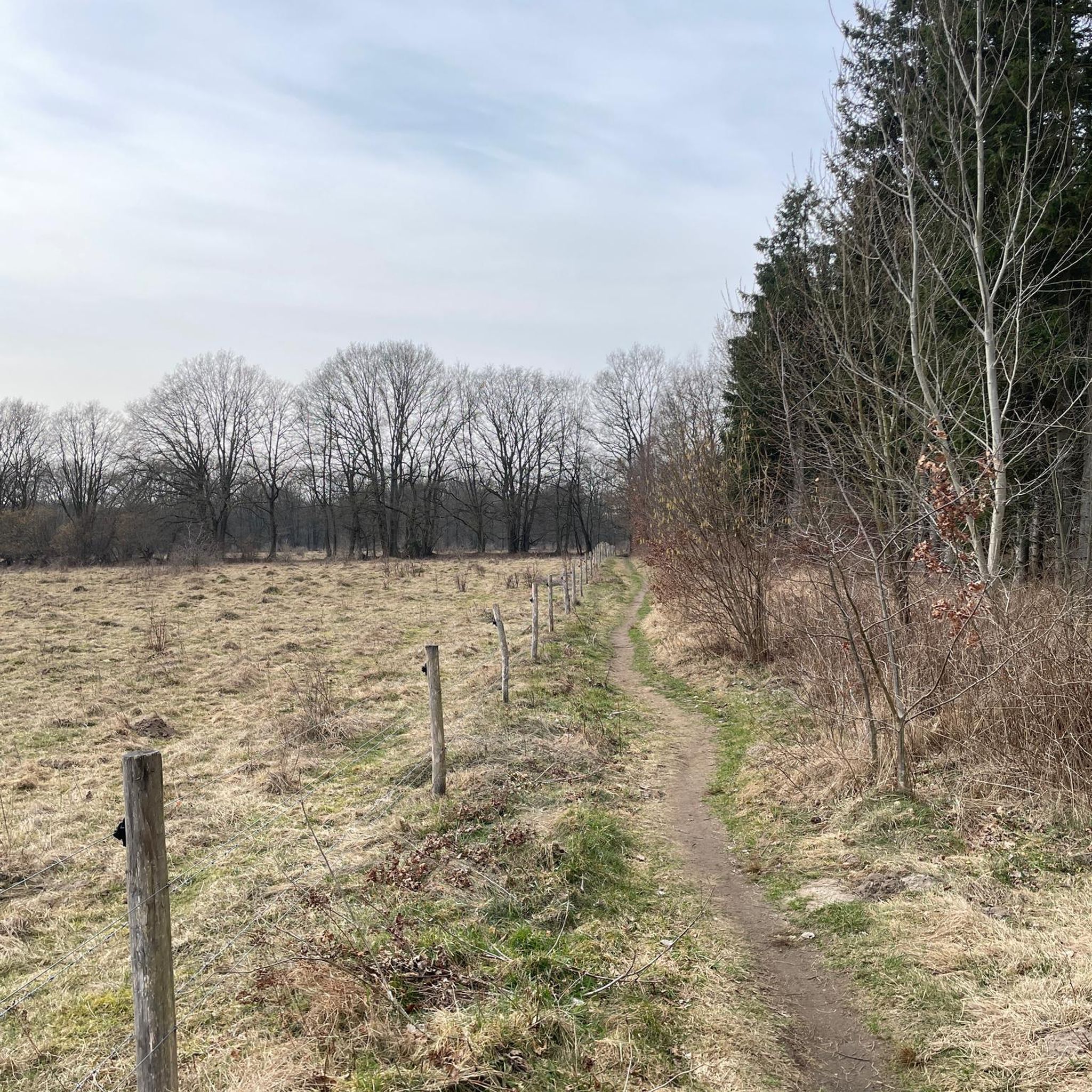


Tips from the Community


great place to take a break
0
0

rather practical in case bad weather does arise
0
0

Great panoramic view from the big Rachel
0
0
Currently unfortunately "out of order" - maybe reopened in 2025 when it has been rebuilt
1
0
Frequently Asked Questions
What types of mountaineering routes can I find around Rinchnach?
Rinchnach, nestled in the Bavarian Forest, offers a variety of strenuous mountain walks. You'll find routes ranging from moderate to difficult, leading through dense forests, past unique quartz rock formations, and up to significant peaks like Großer Rachel and Hennenkobel. The terrain is diverse, catering to experienced mountaineers seeking challenging ascents and panoramic views.
Are there any difficult mountaineering routes for experienced hikers?
Yes, Rinchnach offers several challenging routes. For a demanding experience, consider the Frauenau Drinking Water Reservoir – Großer Rachel Summit loop from Oberfrauenau. This difficult 18.3 km path includes a significant ascent to the Großer Rachel summit, rewarding you with expansive views across the Bavarian and Bohemian Forests.
Can I find circular mountaineering routes in the area?
Many of the mountaineering routes around Rinchnach are designed as loops, allowing you to start and end at the same point. A popular moderate circular route is the Rachel Summit (Rachel Peak) – Waldschmidt Hut loop from Gfäll, which is 10.9 km long and takes about 3 hours 36 minutes to complete.
What are some notable natural attractions or landmarks I might see on these routes?
The region is rich in natural beauty. You can explore the unique, milky-white quartz rock formation known as the Weiße Felsen im Naturschutzgebiet Pfahl, or hike through the scenic Steinklamm Gorge along the Große Ohe river. Many routes also lead to impressive summits like the Großer Rachel Summit, offering breathtaking panoramic views.
Are there any routes that pass by lakes or reservoirs?
Yes, some routes incorporate the region's beautiful water bodies. The challenging Rachel Summit (Rachel Peak) – Rachel Lake loop from Klingenbrunn, for example, is a 19.5 km route that takes you past the serene Rachel Lake. You can also find routes near the Frauenau Drinking Water Reservoir.
What is the best season for mountaineering around Rinchnach?
The Bavarian Forest is beautiful year-round, but for mountaineering, late spring to early autumn (May to October) generally offers the most favorable conditions with stable weather and clear trails. During these months, you can fully appreciate the panoramic views from the summits and the lush forest landscapes.
Are there any family-friendly mountaineering options?
While many routes are geared towards experienced mountaineers, the broader Rinchnach area offers a range of hiking trails. For families, consider exploring the Rinchnacher Ohetal with its pleasant 4.5-kilometer trail, or the unique Fledermaus-Areal which includes a bat sculpture trail and forest playground, offering a more gentle outdoor experience.
What do other mountaineers enjoy most about the routes in Rinchnach?
The mountaineering routes around Rinchnach are highly rated by the komoot community, with an average score of 4.9 stars. Reviewers often praise the stunning panoramic views from peaks like Großer Rachel, the challenging yet rewarding ascents, and the immersive experience of hiking through the dense, beautiful Bavarian Forest.
How many mountaineering routes are available in the Rinchnach area?
There are 16 dedicated mountaineering routes around Rinchnach, offering a wide selection for those looking for strenuous mountain walks. These include 14 moderate and 2 difficult options, ensuring there's a suitable challenge for various experience levels.
Are there any routes that offer historical insights or pass by cultural sites?
Yes, the region has a rich history. While on your mountaineering adventures, you might encounter the ruins of the abandoned forest village of Oberbreitenau on the slopes of Geißkopf. Additionally, Rinchnach itself boasts a historic town center with the beautiful Baroque parish church of St. John the Baptist, and a historical circular path exploring 25 historic buildings.
What are some of the highest peaks I can reach on a mountaineering route from Rinchnach?
Rinchnach provides access to some of the highest and most prominent peaks in the Bavarian Forest. You can ascend Großer Rachel, the highest mountain in the Bavarian Forest National Park at 1,453 meters, or explore Hennenkobel, a 965-meter-high mountain with a rocky summit and shelter hut offering extensive views.
Most popular routes around Rinchnach
Most popular attractions around Rinchnach

Get inspired with the komoot mobile app


Explore more
Browse the best Mountain Hikes & Routes in other regions.
