The best mountain hikes around Teisnach
4.9
(41)
284
hikers
34
hikes
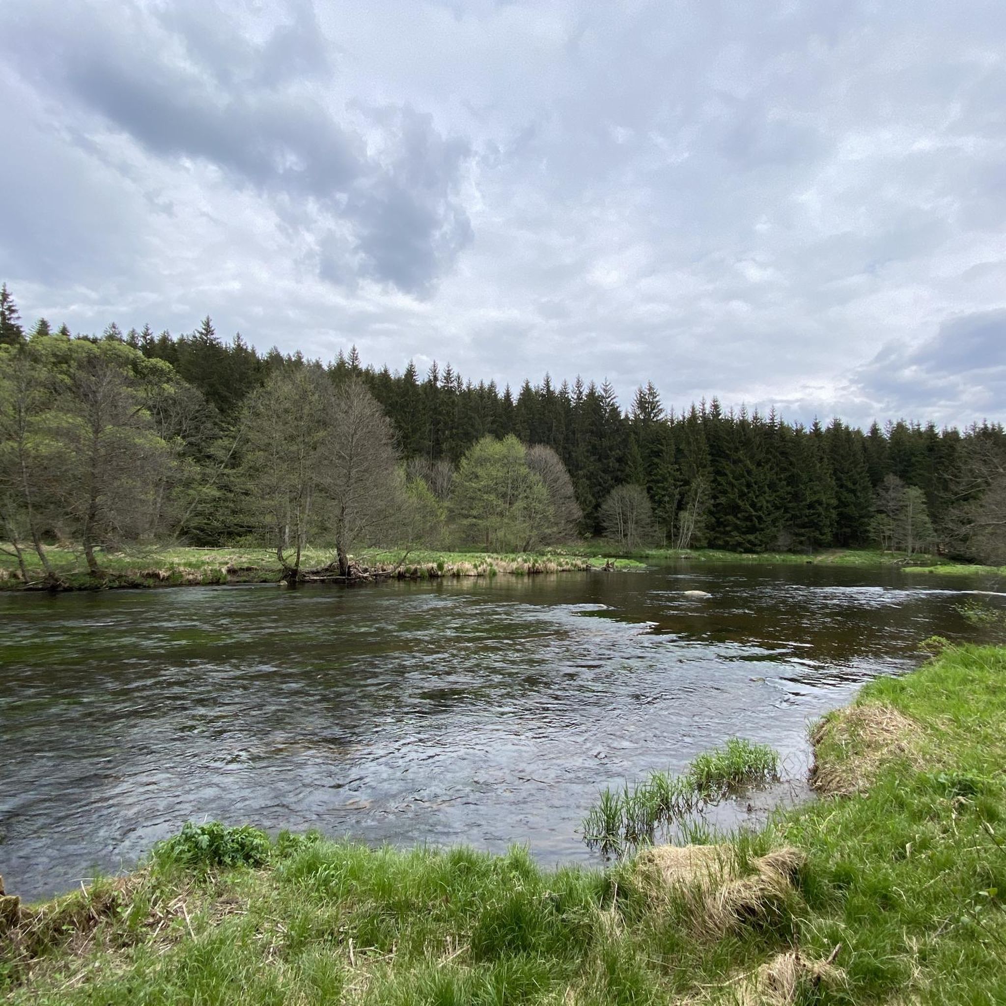
Mountaineering routes around Teisnach are situated within the Bavarian Forest, a region characterized by extensive woodlands, river valleys, and prominent peaks. The area offers diverse terrain, from challenging ascents to scenic paths along waterways. Notable features include the Teisnach and Schwarzer Regen rivers, providing access to higher elevations like the Kleiner Arber. This landscape offers a variety of mountaineering experiences for different skill levels.
Best mountaineering routes around Teisnach
- The most popular mountaineering route is Rißloch Waterfalls – Kleiner Arber…
Last updated: August 15, 2026
5.0
(15)
75
hikers
18.4km
06:28
910m
910m
Hard mountaineering route. Very good fitness required. Mostly accessible paths. Sure-footedness required.
5.0
(1)
12
hikers
20.6km
07:05
970m
970m
Hard mountaineering route. Very good fitness required. Mostly accessible paths. Sure-footedness required.

Sign up for free
11
hikers
12.8km
04:12
600m
600m
Moderate mountaineering route. Good fitness required. Easily-accessible paths. Suitable for all skill levels.
4
hikers
5.41km
01:54
260m
250m
Moderate mountaineering route. Great for any fitness level. Mostly accessible paths. Sure-footedness required.
5.0
(2)
7
hikers
6.79km
02:13
250m
250m
Moderate mountaineering route. Good fitness required. Mostly accessible paths. Sure-footedness required.
Get access to more routes and recommendations from other explorers.
Sign up for free
Already have an account?
Our route recommendations are based on thousands of hikes, rides, and runs completed by other people on komoot.
Start today with a free account
Your next adventure awaits.
Login or Signup
Tips from the Community

The Rißlochfälle hiking parking lot is the perfect starting point for an extraordinary nature experience – whether you just want to visit the waterfalls for a short time or go on a longer tour.
0
0
A great upcycling idea 👍🏼
0
0
The Untere Wasserstube was built as part of a forge that processed iron. The water from the Rißbach powered the machinery. In the 19th century, the facility was used for glass production. The water power drove grinding and polishing machines for glass production. Today, the Untere Wasserstube is a protected cultural monument and offers an insight into the industrial past of the Bavarian Forest.
0
0
The Kurpark Bodenmais is not only a great place to chill, but also an ideal starting point for hikes in the Bavarian Forest – many trails begin right here. 🚶♂️🌲Here you can relax perfectly, enjoy the sun on a bench, or simply take a deep breath. The park is super well-maintained, with colorful flowerbeds, shady trees, and sometimes even a small fountain or playground for the little ones.
0
0

Only partially passable with MTB.
0
0

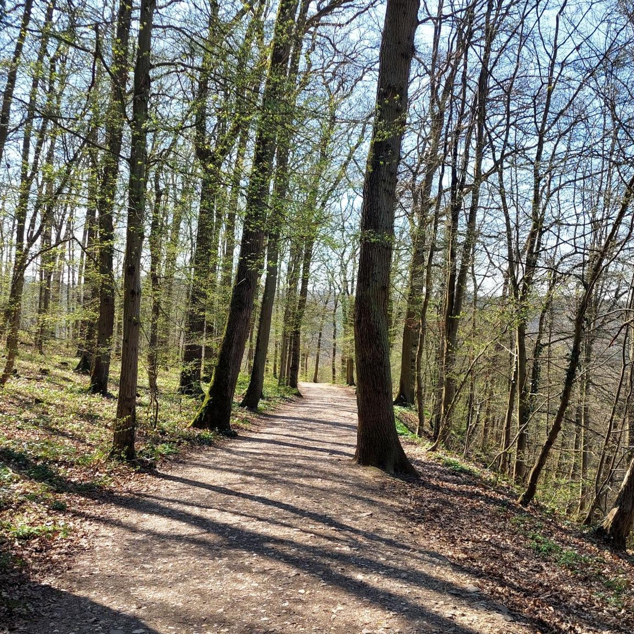
Beautiful forest path to the gorge
0
0
nice place to rest for a while
0
0

Frequently Asked Questions
How many mountaineering routes are available around Teisnach, and what are their difficulty levels?
There are over 35 mountaineering routes around Teisnach. The majority, 28 routes, are classified as moderate, offering a good balance of challenge and accessibility. For those seeking a more demanding experience, there are 7 difficult routes available.
Are there any routes that feature impressive waterfalls or natural landmarks?
Yes, several routes incorporate the stunning Rißloch Waterfalls, a significant natural feature in the region. For example, the Rißloch Waterfalls – Kleiner Arber Summit Cross loop from Bodenmais combines the beauty of the falls with a summit ascent. You can also explore other waterfalls like the Lower Riesloch Falls or the Hochfall Waterfall.
Can I find circular mountaineering routes around Teisnach?
Absolutely. Many of the mountaineering routes around Teisnach are designed as loops, allowing you to start and end at the same point without retracing your steps. An example is the Buchhüttenschachten loop from Bodenmais, which offers a moderate challenge.
Are there family-friendly mountaineering options near Teisnach?
While the listed mountaineering routes are generally moderate to difficult, the broader Bavarian Forest region offers many easier hiking paths suitable for families. For mountaineering specifically, routes around Teisnach tend to involve significant elevation gain, so families with younger children or those new to mountaineering might prefer to explore shorter, less strenuous sections or other hiking trails in the area.
Are dogs allowed on the mountaineering trails in Teisnach?
Generally, dogs are welcome on hiking and mountaineering trails in the Bavarian Forest, provided they are kept on a leash, especially in nature protection areas or near wildlife. Always ensure your dog is well-behaved and that you clean up after them. It's advisable to check specific local regulations for any particular route or protected area.
When is the best time of year for mountaineering in Teisnach?
The best time for mountaineering in Teisnach and the Bavarian Forest is typically from late spring through early autumn (May to October). During these months, the weather is generally more stable, trails are clear of snow, and the views from peaks like the Kleiner Arber are often panoramic. Autumn also brings beautiful fall foliage.
What are some challenging mountaineering routes for experienced hikers?
For experienced mountaineers seeking a challenge, the region offers several difficult routes. The Kleiner Arber Summit (1,384 m) – Rißloch Waterfalls loop from Bodenmais is a demanding 20.4 km trail with significant elevation gain, often taking over 7 hours to complete.
Which routes offer the best panoramic views?
Routes that ascend to the Kleiner Arber summit, such as the Rißloch Waterfalls – Kleiner Arber Summit Cross loop from Bodenmais, are renowned for their panoramic views. On clear days, you can often see far across the Bavarian Forest and even catch glimpses of the Alps from higher elevations like the Großer Arber, which is the highest mountain in the region.
What do other mountaineers enjoy the most about mountaineering in Teisnach?
The mountaineering routes around Teisnach are highly rated by the komoot community, with an average score of 4.8 stars. Reviewers often praise the diverse terrain, from dense forests and river valleys to challenging ascents, and the impressive natural features like the Rißloch Waterfalls.
Are there any less crowded mountaineering trails or hidden gems around Teisnach?
While popular routes can see more traffic, exploring trails slightly off the main peaks can offer a quieter experience. Consider routes like the Buchhüttenschachten – Steigenfels Chapel loop from Bodenmais, which provides a moderate and scenic journey through the forest, potentially offering a more tranquil adventure.
Are there any historical sites or mines to explore along the routes?
Yes, the region has a history of mining. You can find highlights like the Gottesgab Mine on Silberberg or the Historic Kiesau Quartz Mine Adit. While not directly on every mountaineering route, these sites are part of the broader historical landscape around Teisnach and can be visited as separate excursions or incorporated into longer trips.
Most popular routes around Teisnach
Most popular attractions around Teisnach

Get inspired with the komoot mobile app


Explore more
Browse the best Mountain Hikes & Routes in other regions.
