The best running trails around Ering
4.4
(147)
2,869
runners
16
runs
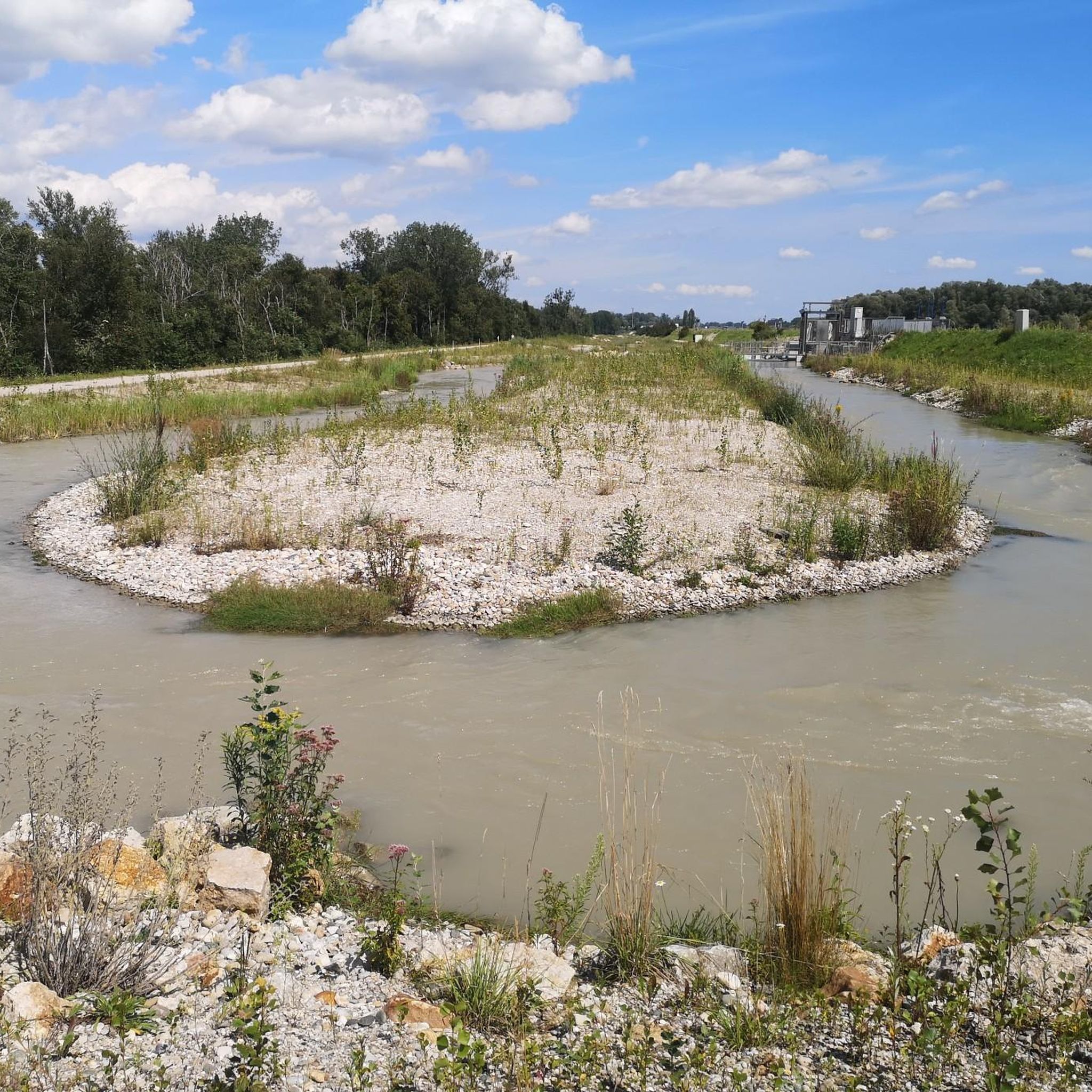
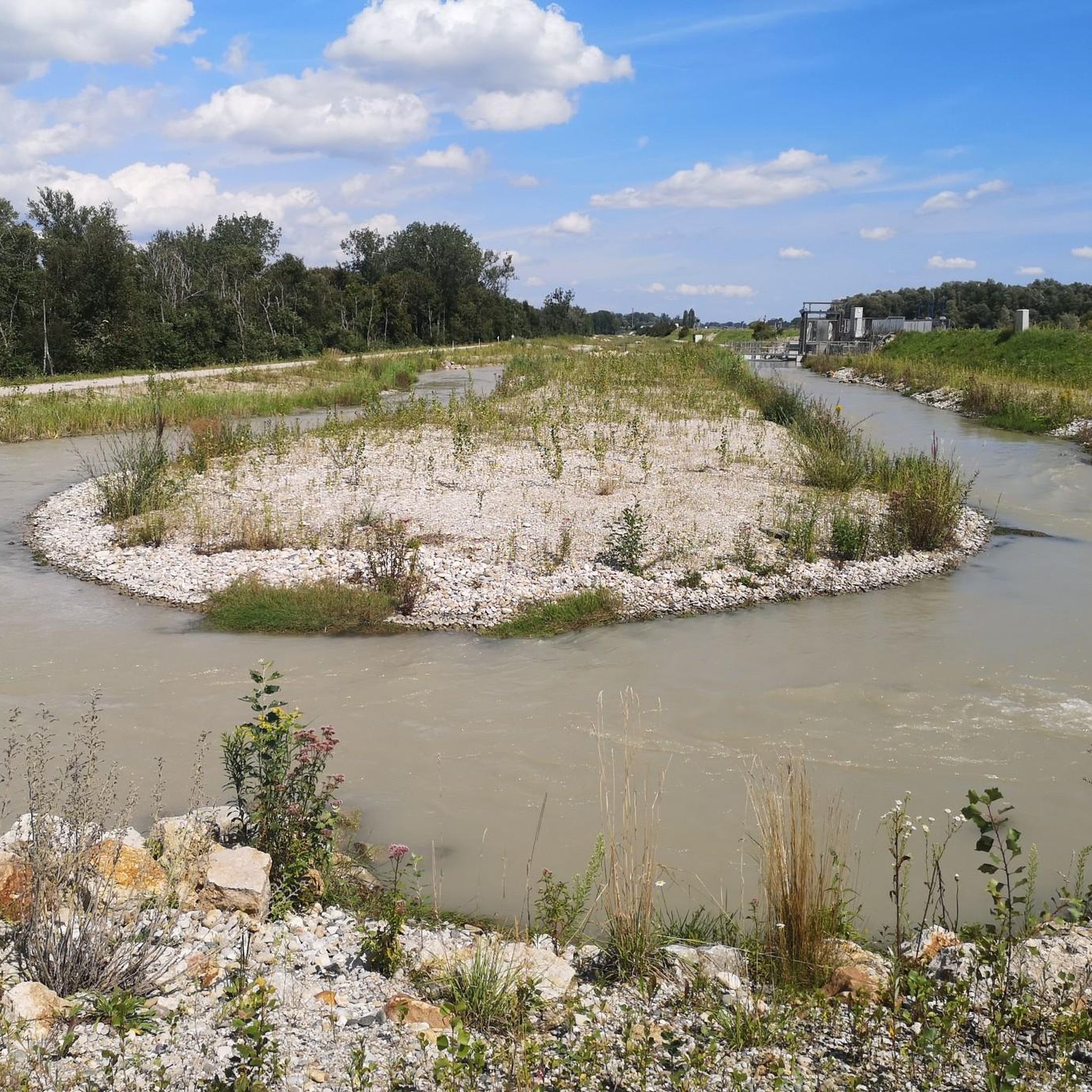
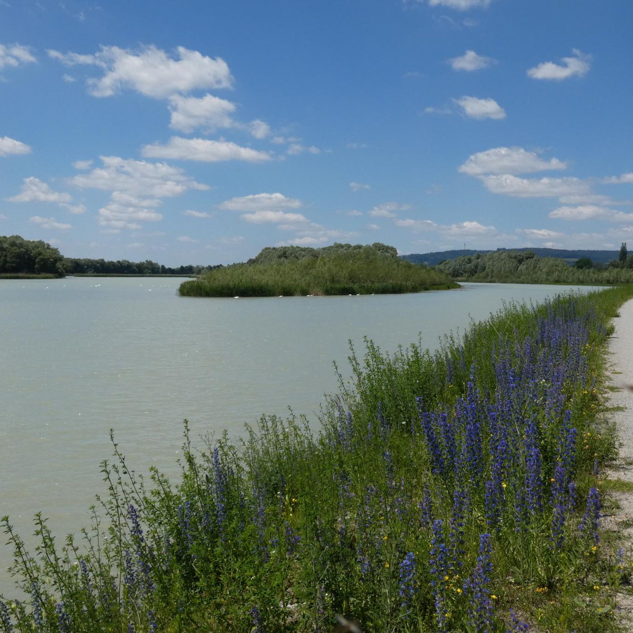
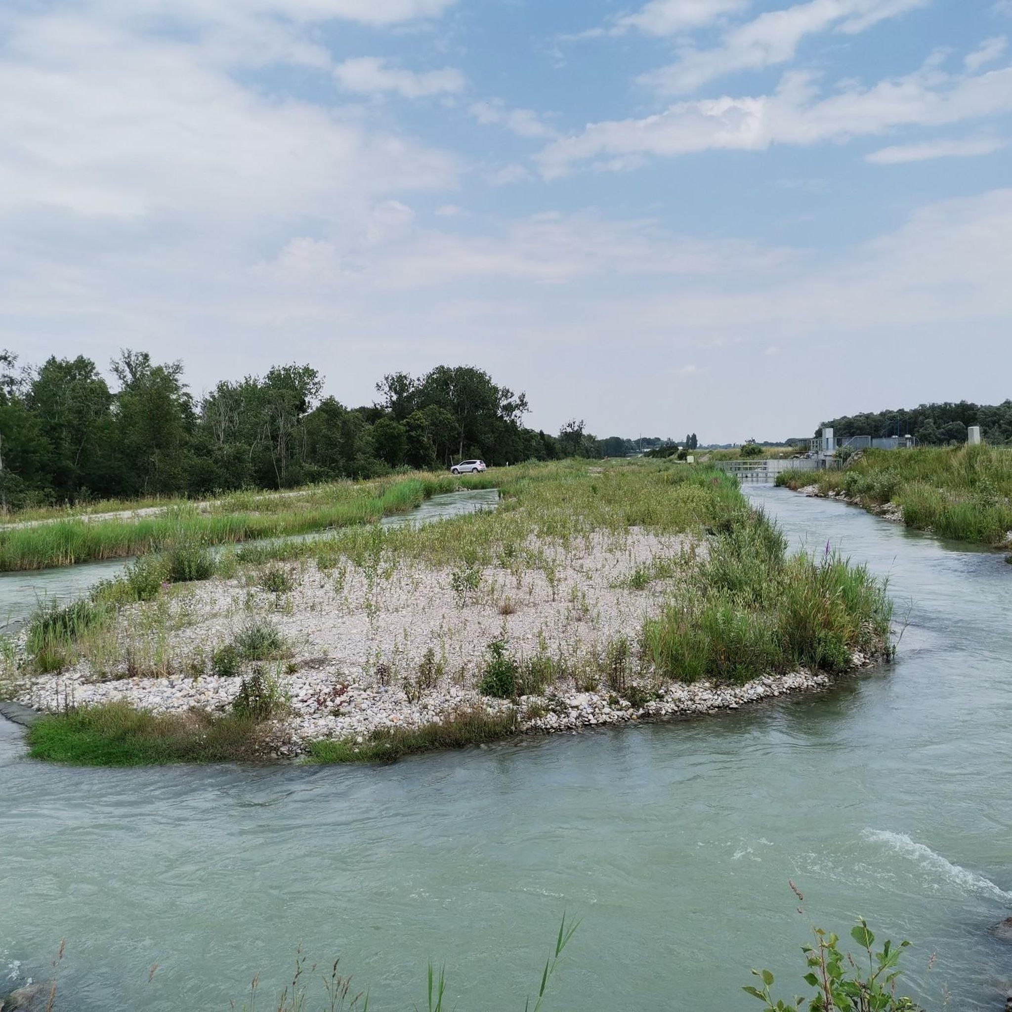
Jogging routes around Ering are characterized by a relatively flat terrain, making them accessible for various fitness levels. The region features natural areas, including lakes like Eglsee, and is situated near the Inn river, offering scenic paths. These routes often lead through open landscapes and past points of interest such as bird-watching towers and historical castles. The low elevation changes provide a consistent running experience.
Best jogging routes around Ering
- The most popular jogging route is Burgschänke Frauenstein – Eglsee…
Last updated: June 30, 2026
5.0
(1)
51
runners
Hard run. Very good fitness required. Mostly paved surfaces. Suitable for all skill levels.
5.0
(3)
33
runners
8.06km
00:56
20m
20m
Moderate run. Good fitness required. Mostly paved surfaces. Suitable for all skill levels.

Sign up for free
5.0
(2)
34
runners
Moderate run. Good fitness required. Mostly paved surfaces. Suitable for all skill levels.
28
runners
8.67km
00:56
30m
30m
Moderate run. Good fitness required. Mostly paved surfaces. Suitable for all skill levels.
5
runners
3.29km
00:22
60m
60m
Easy run. Great for any fitness level. Mostly paved surfaces. Suitable for all skill levels.
Get access to more routes and recommendations from other explorers.
Sign up for free
Already have an account?
Our route recommendations are based on thousands of hikes, rides, and runs completed by other people on komoot.
Start today with a free account
Your next adventure awaits.
Login or Signup
Tips from the Community


Bridge over the Mattig to the Inn Valley Cycle Path
0
0

Bird sanctuary with adventure world
1
0


In 1260, the first bridge over the Inn was built on the orders of Duke Henry XIII. This wooden bridge was repeatedly destroyed in the following centuries by floods, gusts of wind, wars and fires. After the ice blast in January 1880 had torn away part of the wooden bridge that connected Braunau with Simbach, a steel truss bridge on brick pillars and abutments was built jointly by the Austrian and Bavarian governments between 1892 and 1894. This bridge was blown up at the end of the war in 1945. It was not until 1950 that the new bridge was built jointly by the Austrian and Bavarian governments through the Linz-based "VOEST". It is a so-called "deck bridge", i.e. the roadway is installed above the supporting structure so that there is a clear view in all directions. Length: around 272 m Road width: 7.50 m Two sidewalks: each 1.50 m wide. Source: https://www.oberoesterreich.at/oesterreich-poi/detail/401967/innbruecke-braunau-simbach.html
6
0

Frequently Asked Questions
What kind of terrain can I expect on the running routes around Ering?
The running routes around Ering are generally characterized by a relatively flat terrain with low elevation changes. This makes them accessible for various fitness levels, offering a consistent running experience through natural areas and along the Inn river.
Are there any scenic viewpoints or landmarks to see while jogging in Ering?
Yes, Ering's running routes offer several scenic points of interest. You can pass by the Eglsee Bird-Watching Tower, enjoy views of the Inn river, or see historical sites like Hagenau Castle. Other notable landmarks include the Fish Ladder Ering and the Frauenstein Oak.
How many running trails are available in the Ering area?
There are over 10 dedicated running routes around Ering, catering to different preferences and fitness levels. These include easy, moderate, and more challenging options.
What do other runners say about the trails in Ering?
The running trails in Ering are highly rated by the komoot community, with an average score of 4.4 stars from over 140 reviews. More than 2700 runners have used komoot to explore Ering's varied terrain, often praising the flat paths, lake views, and natural riverine landscapes.
Are there any longer running routes for experienced runners?
Yes, for those looking for a longer challenge, the Burgschänke Frauenstein – Eglsee Bird-Watching Tower loop from Ering is a great option. This route spans 15.8 miles (25.5 km) and offers a challenging distance through varied natural surroundings.
Can I find circular running routes in Ering?
Absolutely. Many of the running routes in Ering are designed as loops, providing convenient circular paths. Examples include the Eglsee Bird-Watching Tower loop from Ering and the Eglsee Bird-Watching Tower – Fish Ladder Ering loop from Schloss Hagenau.
Are there any running routes suitable for beginners or those looking for a moderate run?
Yes, Ering offers several moderate routes perfect for beginners or those seeking a less strenuous run. The Eglsee Bird-Watching Tower loop from Ering is a popular moderate 5.0-mile (8.0 km) path with minimal elevation gain, offering pleasant views.
What kind of natural features can I expect to see on the running trails?
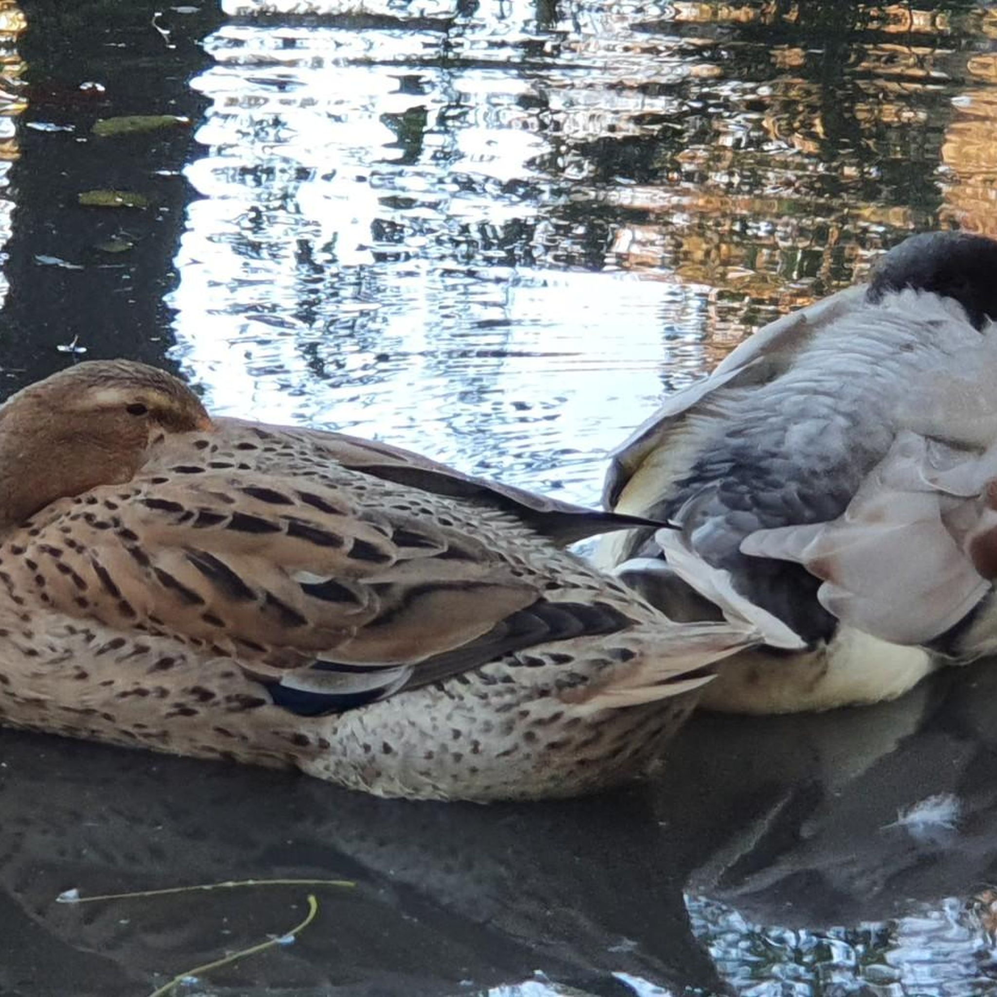
Ering's running trails often lead through open landscapes, past lakes like Eglsee, and along the Inn river. You can expect to see diverse natural areas, including wetlands and woodlands, which are home to various bird species, especially around the bird-watching towers.
Are there any routes that pass by historical sites?
Yes, some routes incorporate historical elements. For instance, the Eglsee Bird-Watching Tower – Ering Castle loop from Ering takes you past Ering Castle, offering a glimpse into the region's history while you run.
Is there a good route for a quick run in Ering?
For a shorter, moderate run, the Running loop from Ering is a great choice. It's about 3.5 miles (5.6 km) long and can be completed in around 35 minutes, making it ideal for a quick workout.
What is the best time of year to go running in Ering?
Ering's relatively flat terrain and natural beauty make it suitable for running throughout much of the year. Spring and autumn offer pleasant temperatures and vibrant scenery, while summer provides longer daylight hours. Winter running is also possible, though conditions may vary.
Most popular attractions around Ering

Get inspired with the komoot mobile app


Explore more
Browse the best Running Trails & Routes in other regions.
