The best walks and hikes around Alcrossagh
4.1
(61)
742
hikers
12
hikes
Hiking around Alcrossagh features a landscape characterized by rolling hills, dense forests, and glens, with routes often providing views towards the Antrim Coast. The region includes notable peaks like Knocklayd and Slieveanorra, offering varied elevation gains. Trails traverse woodland areas and open terrain, providing diverse hiking experiences.
Best hiking trails around Alcrossagh
- The most popular hiking route is Knocklayd from Drumavoyle Road — Antrim Coast & Glens, a 2.8 miles (4.5 km) trail that takes 1 hour 17 minutes…
Last updated: November 9, 2026
3.0
(1)
14
hikers
4.48km
01:17
330m
330m
Moderate hike. Good fitness required. Easily walkable paths.
5.0
(1)
3
hikers
9.10km
02:45
300m
300m
Embark on the Moyle Way: Breen Forest Loop, a moderate hike spanning 5.7 miles (9.1 km) with an elevation gain of 969 feet (295 metres), typically completed in 2 hours…

4.3
(23)
338
hikers
2.13km
00:34
20m
20m
Easy hike. Easily walkable paths.
4.0
(2)
13
hikers
3.54km
01:06
150m
150m
Easy hike. Easily walkable paths.
5
hikers
22.0km
06:20
520m
520m
Hard hike. Very good fitness required. Easily walkable paths.
Get access to more routes and recommendations from other explorers.
Already have an account?
Our route recommendations are based on thousands of hikes, rides, and runs completed by other people on komoot.


Tips from the Community

Not as impressive in nature anymore, some trees or branches have been removed.
0
0
Not as impressive in nature anymore, some trees or branches have been removed.
1
0

Memorial stone and plaque in memory of fallen US soldiers and a Royal Air Force aircraft crash in which 10 people died
0
0
Absolutely overrated. Many trees have been broken or cut down. Completely overcrowded during normal daytime. You really don't have to go there...only if it's on your way.
1
0

A 2 km climb (the last kilometer is very steep and muddy across the sheep pasture) and over and under fences. The effort is only worth it in good weather, because the view is magnificent. Far inland and towards the coast over Rathlin Island to Scotland.
0
0

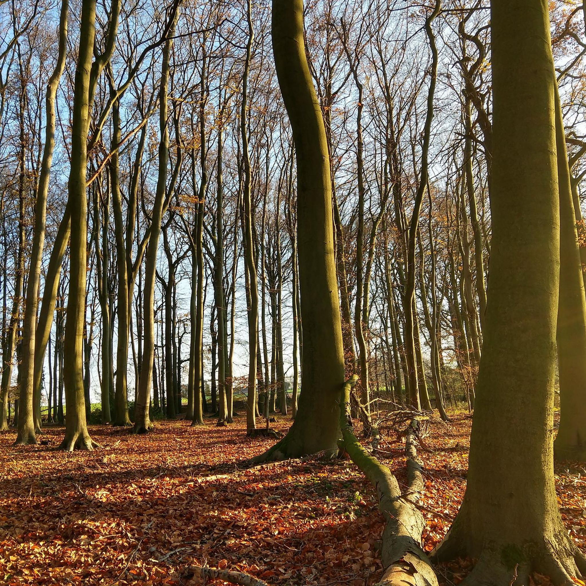
This iconic moody avenue of beech trees was planted by the Stuart family in the eighteenth century. Two centuries later, the trees remain a treat and are one of the most photographed natural phenomena in Northern Ireland. Most recently used as a film location in Game of Thrones.
0
0

Famous beech trees from the film "Games of Thornes"
0
0
Frequently Asked Questions
How many hiking trails are available in Alcrossagh?
Alcrossagh offers a variety of hiking experiences with over 10 distinct trails. These routes cater to different skill levels, from easy strolls to more challenging ascents, ensuring there's something for everyone.
What kind of terrain can I expect on hikes around Alcrossagh?
The landscape around Alcrossagh is characterized by rolling hills, dense forests, and scenic glens. You'll find routes traversing woodland areas, open terrain, and climbs up notable peaks like Knocklayd and Slieveanorra, often providing views towards the Antrim Coast.
Are there any easy hiking trails suitable for beginners or families in Alcrossagh?
Yes, Alcrossagh has several easy trails perfect for beginners or families. For instance, the Gracehill House – The Dark Hedges loop from Bush is a gentle 1.3-mile (2.1 km) path through historic landscapes. Another easy option is the Hiking loop from Slieveanorra.
Can I bring my dog on the hiking trails in Alcrossagh?
While the guide does not specify dog-friendly policies for individual trails, generally, many outdoor areas in regions like Alcrossagh welcome dogs, especially on lead. It's always best to check local signage at trailheads or specific park regulations before heading out with your canine companion.
Are there any circular hiking routes in Alcrossagh?
Yes, Alcrossagh features several circular routes. A popular choice is the Moyle Way: Breen Forest Loop, a moderate 5.7-mile (9.1 km) path winding through woodland scenery. Another option is the Gracehill House – The Dark Hedges loop from Bush.
What are some notable landmarks or viewpoints to look out for while hiking in Alcrossagh?
Hikers in Alcrossagh can discover several interesting landmarks and viewpoints. The Knocklayd from Drumavoyle Road route leads to the Knocklayd Summit, offering panoramic views. You might also encounter the famous The Dark Hedges and Gracehill House, especially on the loop from Bush.
What is the best time of year to go hiking in Alcrossagh?
Hiking in Alcrossagh is enjoyable throughout much of the year. Spring and autumn offer pleasant temperatures and beautiful scenery with changing foliage. Summer provides longer daylight hours, while winter hikes can be rewarding, though conditions may be more challenging on higher ground like Slieveanorra.
How long do hikes in Alcrossagh typically take?
Hikes in Alcrossagh vary in length and duration. Shorter, easy trails like the Gracehill House – The Dark Hedges loop can be completed in about 30-40 minutes. Moderate routes, such as Knocklayd from Drumavoyle Road, typically take around 1 hour 15 minutes, while longer, difficult routes can extend to several hours.
Is parking available at the trailheads in Alcrossagh?
While specific parking details for every trailhead are not provided, it is common for popular hiking areas in regions like Alcrossagh to have designated parking facilities, often near the start of well-known routes or visitor centers. We recommend checking route descriptions on komoot for specific parking information.
Can I reach hiking trails in Alcrossagh using public transport?
Information on public transport directly to Alcrossagh's trailheads is not detailed in the guide. Access to more remote hiking areas often requires personal transport. For routes closer to towns or villages, local bus services might be an option, but it's advisable to research specific routes and timetables in advance.
What do other hikers say about the trails in Alcrossagh?
The trails in Alcrossagh are highly regarded by the komoot community, boasting an average score of 4.3 stars from over 40 reviews. Hikers often praise the diverse terrain, from quiet woodlands to open hill climbs, and the scenic views, particularly towards the Antrim Coast.
Are there any longer or more challenging hikes for experienced hikers in Alcrossagh?
Yes, for experienced hikers seeking a challenge, Alcrossagh offers more demanding routes. The Breen Forest loop from Croaghan is a difficult 13.7-mile (22 km) trail with significant elevation gain, providing a strenuous and rewarding experience.
Are there any less crowded or 'hidden gem' trails in Alcrossagh?
While the guide highlights popular routes, Alcrossagh's landscape of dense forests and glens suggests many opportunities for quieter exploration. To find less crowded paths, consider exploring trails that are not explicitly mentioned as 'popular' or venturing out during off-peak times. Komoot's map can help you discover less-trafficked paths.
Most popular routes around Alcrossagh
Most popular attractions around Alcrossagh
Get inspired with the komoot mobile app


Explore more
Browse the best Hikes in other regions.