The best road cycling routes around Ballymacaldrack
4.5
(2)
385
riders
41
rides
Road cycling routes around Ballymacaldrack are situated within County Antrim, Northern Ireland, offering access to varied terrain. The area features a mix of rolling hills and quiet backroads, characteristic of the Glens of Antrim. While Ballymacaldrack itself is known for its historical site, the surrounding region provides diverse landscapes for road cyclists, including inland routes and proximity to the Antrim Plateau. The topography includes moderate climbs and descents, suitable for engaging road cycling.
Best road cycling routes around Ballymacaldrack
- The…
Last updated: July 15, 2026
18
riders
43.3km
01:49
270m
270m
Easy road ride. Great for any fitness level. Mostly well-paved surfaces and easy to ride.
16
riders
43.8km
01:47
240m
240m
Easy road ride. Great for any fitness level. Mostly well-paved surfaces and easy to ride.

Sign up for free
8
riders
43.6km
01:53
300m
300m
Easy road ride. Great for any fitness level. Mostly well-paved surfaces and easy to ride.
8
riders
74.3km
03:18
620m
620m
Moderate road ride. Good fitness required. Mostly well-paved surfaces and easy to ride.
7
riders
54.7km
02:25
420m
420m
Moderate road ride. Good fitness required. Some segments of this route may be unpaved and difficult to ride.
Get access to more routes and recommendations from other explorers.
Sign up for free
Already have an account?
Our route recommendations are based on thousands of hikes, rides, and runs completed by other people on komoot.
Start today with a free account
Your next adventure awaits.
Login or Signup
Popular around Ballymacaldrack

Tips from the Community

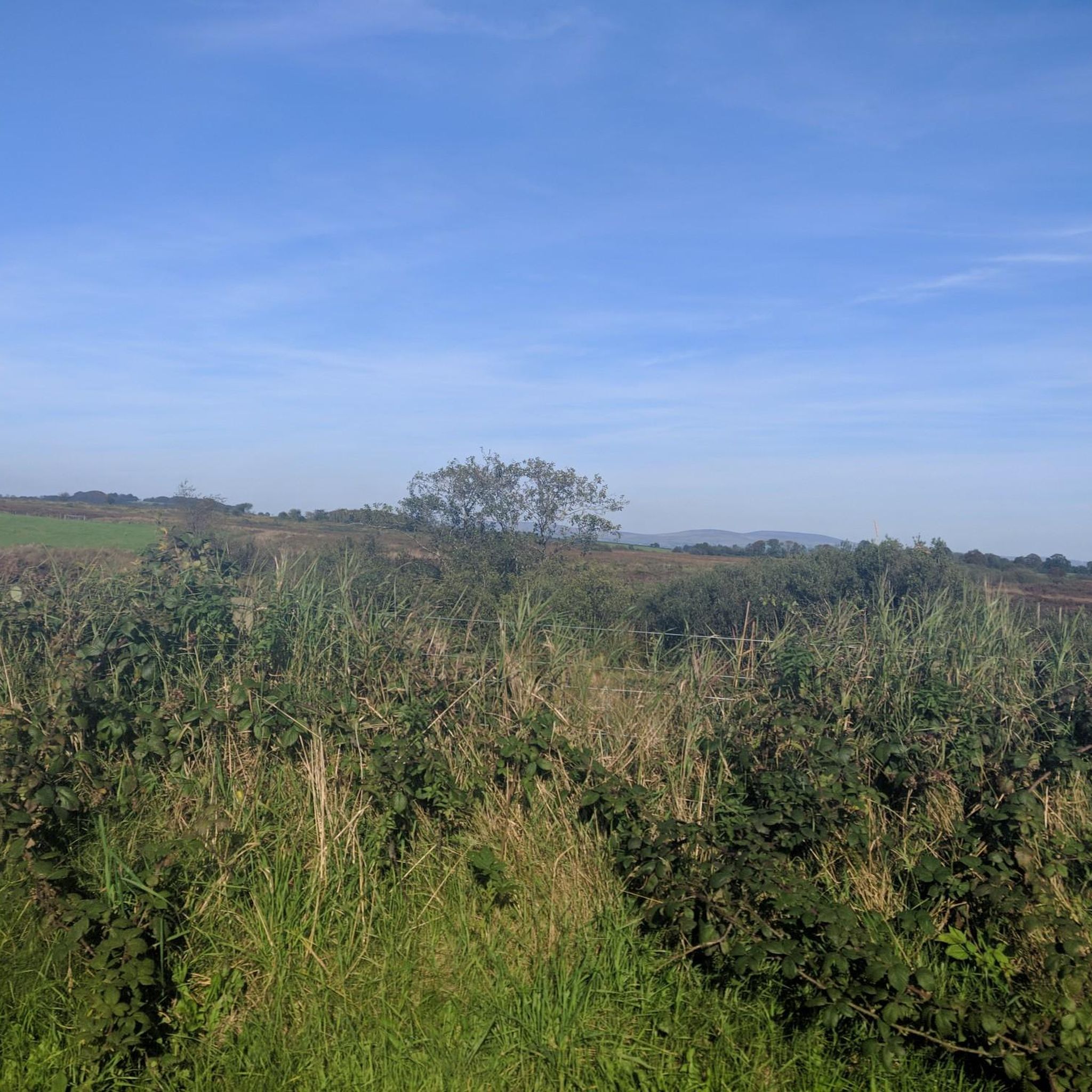
This is the best preserved court tomb in the Causeway Coast area. A Neolithic tomb dating from c.4000 to 2000 BC. It was excavated twice, in 1935 and 1975. It consists of a horse shoe shaped forecourt that leads into a small chamber. There is a cremation passage behind the chamber containing three pits, one of these pits held the remains of several people. This form of cremation passage is the only one of its type found in Ireland.
0
0

Hit it heavy at the start, then drop gears for the steep middle section, finish strong as it evens out!
0
0
Frequently Asked Questions
How many road cycling routes are available around Ballymacaldrack?
There are nearly 50 road cycling routes around Ballymacaldrack, offering a diverse range of experiences. These include 13 easy routes and 35 moderate routes, ensuring options for various skill levels.
What kind of terrain can I expect on road cycling routes near Ballymacaldrack?
Road cycling around Ballymacaldrack features a mix of rolling hills and quiet rural backroads, characteristic of the Glens of Antrim. You'll encounter moderate climbs and descents, with some routes traversing sections of the Antrim Plateau, providing engaging and varied topography.
Are there any challenging road cycling routes for experienced cyclists?
Yes, for experienced cyclists seeking a challenge, the broader County Antrim area offers routes like the demanding Torr Head Scenic Route with steep climbs and descents. Within the immediate vicinity, routes such as the Rougery Hill – Bark Hill Climb loop from Cloughmills provide significant elevation gain over its 44.4 miles.
What are some notable landmarks or viewpoints along the road cycling routes?
While cycling around Ballymacaldrack, you can explore historical sites like Dooey's Cairn, a Neolithic court tomb. The wider County Antrim region, accessible from Ballymacaldrack, boasts dramatic coastal views along the Causeway Coastal Route, the ruins of Dunluce Castle, and the iconic Giant's Causeway, offering numerous scenic viewpoints.
Are there any family-friendly road cycling options near Ballymacaldrack?
Yes, for a more relaxed ride, the area offers several easy routes. The Roadbike loop from Cloughmills and the Motte loop from Cloughmills are both easy routes, approximately 27 miles long, providing pleasant rides through the local countryside suitable for families or those preferring a gentler pace. The Loughshore Trail near Antrim town also offers flatter, waterside paths.
What is the best time of year for road cycling in Ballymacaldrack?
The best time for road cycling in Ballymacaldrack and County Antrim is generally from spring through autumn (April to October). During these months, the weather is typically milder and more stable, offering better conditions for enjoying the coastal and inland routes. Summer provides the longest daylight hours, ideal for longer rides.
Are there circular road cycling routes available?
Yes, many of the routes around Ballymacaldrack are designed as circular loops, allowing you to start and finish at the same point. Examples include the Roadbike loop from Cloughmills and the Roadbike loop from Drumadarragh, both offering convenient circular journeys through the local landscape.
Where can I find parking for road cycling routes in Ballymacaldrack?
While specific parking areas for each route trailhead are not detailed, many routes start from villages like Cloughmills or Drumadarragh. It's advisable to check local amenities in these villages for public parking options or designated car parks that may serve as convenient starting points for your ride.
What do other road cyclists enjoy most about road cycling in Ballymacaldrack?
The area is highly rated by the komoot community, with an average score of 4.7 stars. Cyclists often praise the quiet rural roads, the engaging rolling hills, and the scenic views of the Antrim countryside. The variety of routes, from easy loops to more moderate climbs, is also frequently highlighted.
Are there any long-distance road cycling routes accessible from Ballymacaldrack?
From Ballymacaldrack, you have access to longer routes within County Antrim. The Causeway Coastal Route, while not a single loop, offers extensive mileage along the coast. Inland, routes like the Rougery Hill – Bark Hill Climb loop from Cloughmills covers over 44 miles, providing a substantial ride through rolling hills and local roads.
Can I find cafes or pubs along the road cycling routes for a break?
While specific cafes directly on every route are not listed, the routes often pass through or near local villages such as Cloughmills and Drumadarragh. These villages typically offer local amenities, including cafes, pubs, or shops where you can stop for refreshments and a break during your ride.
What is the elevation gain like on road cycling routes around Ballymacaldrack?
The elevation gain varies depending on the route's difficulty. Easy routes like the Roadbike loop from Cloughmills have around 265 meters of elevation gain. More moderate routes, such as the Rougery Hill – Bark Hill Climb loop from Cloughmills, feature a more significant climb of over 600 meters, reflecting the rolling hills and Antrim Plateau terrain.
Most popular routes around Ballymacaldrack

Get inspired with the komoot mobile app


Explore more
Browse the best Road cycling routes in other regions.
