The best road cycling routes around Maloja
4.5
(540)
32,385
riders
45
rides
Road cycling routes around Maloja are set within the Swiss Alps, offering diverse terrain from high mountain passes to lakeside roads. The region is characterized by significant elevation changes, including the iconic Maloja Pass with its famous hairpin bends, and extends through the Engadin and Bregaglia valleys. Cyclists encounter a landscape of clear lakes, dense forests, and panoramic views of surrounding peaks.
Best road cycling routes around Maloja
- The most popular road cycling route is Bergün – Julier Pass loop…
Last updated: September 26, 2026
4.8
(69)
3,490
riders
107km
05:58
2,330m
2,330m
Hard road ride. Very good fitness required. Mostly well-paved surfaces and easy to ride.
4.7
(39)
4,054
riders
132km
06:29
1,980m
1,980m
Hard road ride. Very good fitness required. Mostly well-paved surfaces and easy to ride.

4.8
(32)
1,383
riders
49.5km
02:33
790m
780m
Moderate road ride. Good fitness required. Some segments of this route may be unpaved and difficult to ride.
4.8
(17)
1,111
riders
76.7km
03:32
920m
920m
Hard road ride. Very good fitness required. Mostly well-paved surfaces and easy to ride.
4.1
(14)
959
riders
54.7km
02:22
480m
480m
Moderate road ride. Good fitness required. Mostly well-paved surfaces and easy to ride.
4.2
(5)
687
riders
40.4km
01:44
330m
330m
Moderate road ride. Good fitness required. Mostly well-paved surfaces and easy to ride.
5.0
(8)
572
riders
53.3km
02:45
900m
900m
Hard road ride. Very good fitness required. Mostly well-paved surfaces and easy to ride.
4.8
(8)
402
riders
98.2km
04:55
1,510m
1,510m
Hard road ride. Very good fitness required. Some segments of this route may be unpaved and difficult to ride.
4.8
(5)
453
riders
70.6km
03:03
600m
600m
Moderate road ride. Good fitness required. Mostly well-paved surfaces and easy to ride.
4.1
(7)
236
riders
39.5km
01:50
400m
400m
Moderate road ride. Good fitness required. Mostly well-paved surfaces and easy to ride.
Get access to more routes and recommendations from other explorers.
Already have an account?
Our route recommendations are based on thousands of hikes, rides, and runs completed by other people on komoot.
Start today with a free account
Your next adventure awaits.
Popular around Maloja
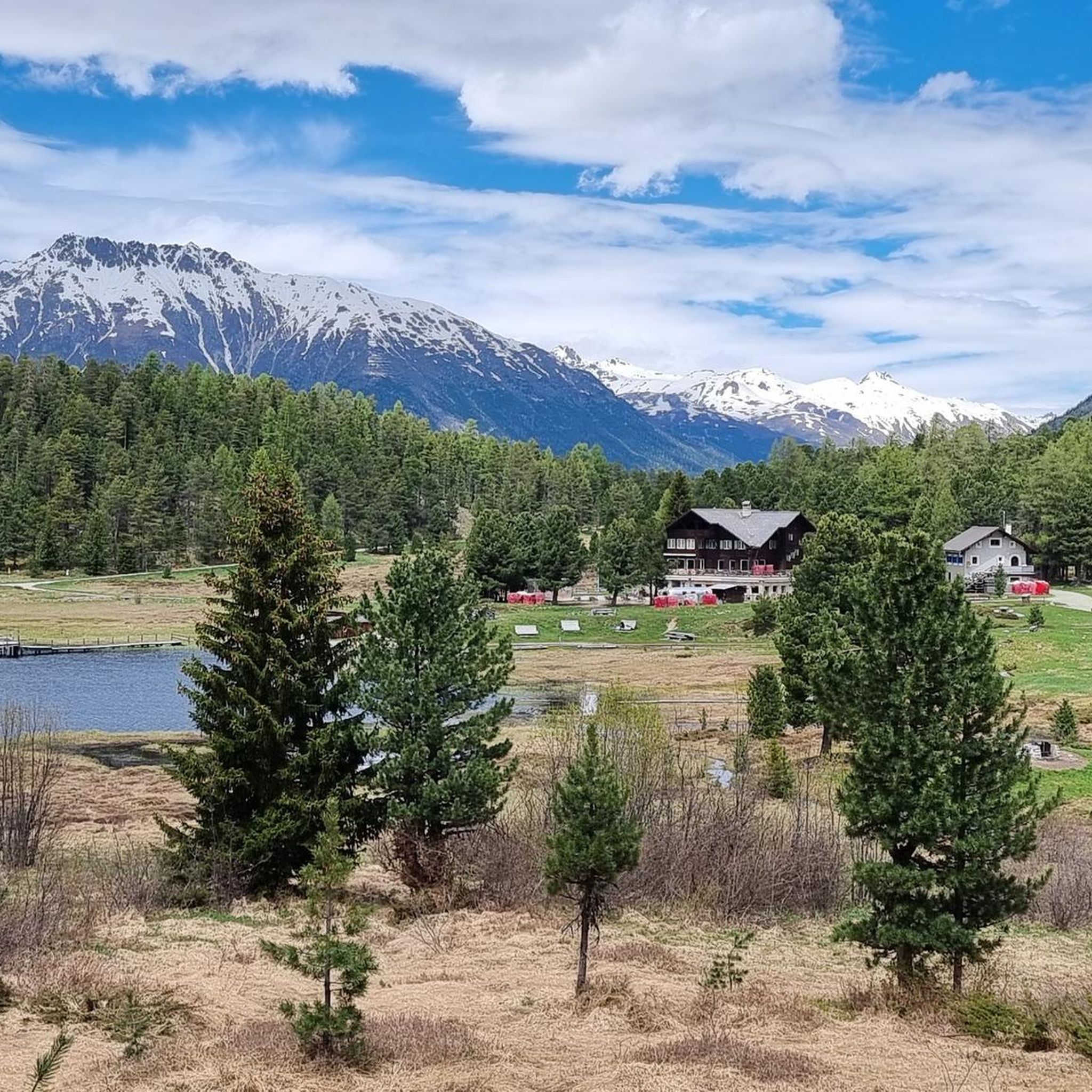
Road Cycling Routes around Stazerwald / God da Staz
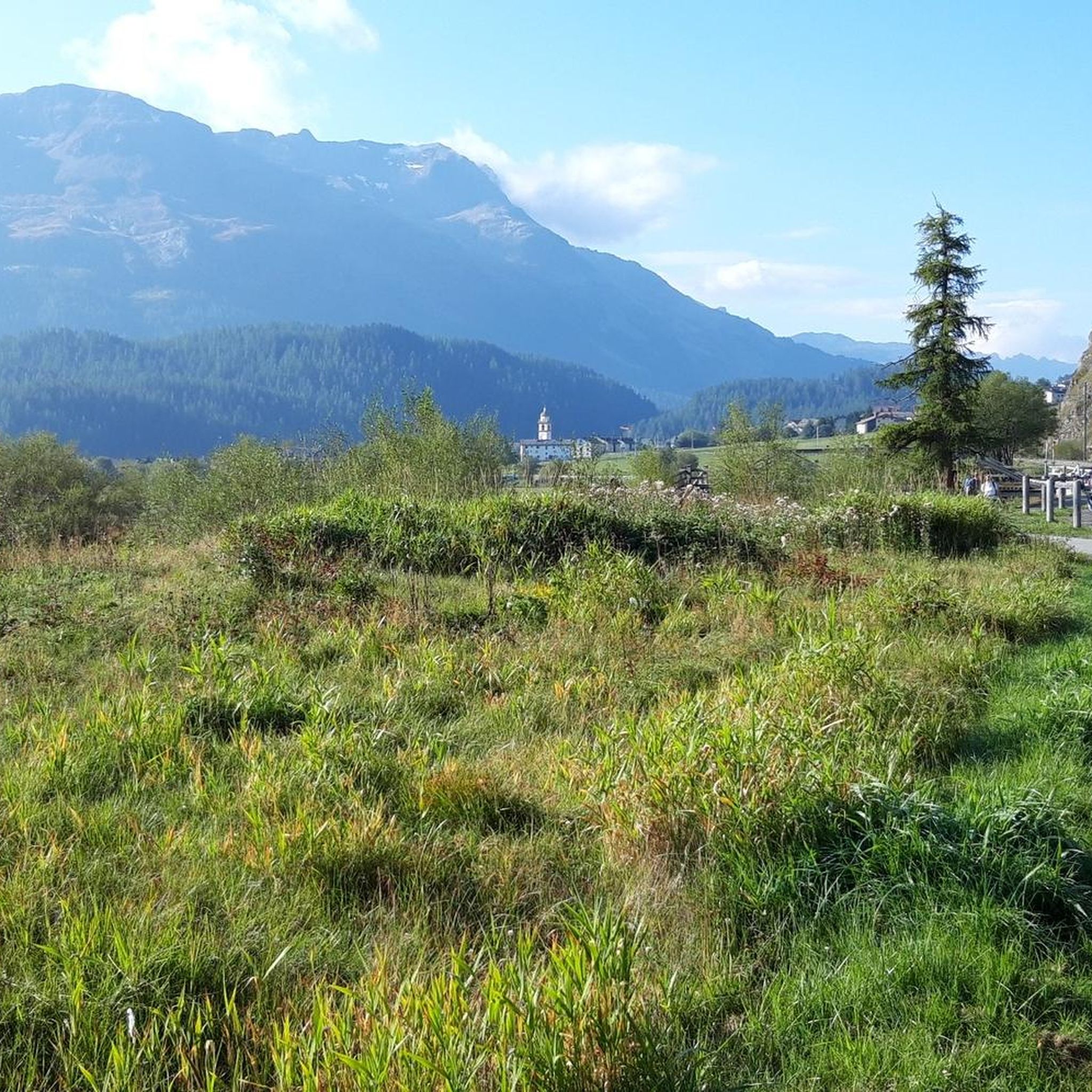
Road Cycling Routes around Celerina/Schlarigna
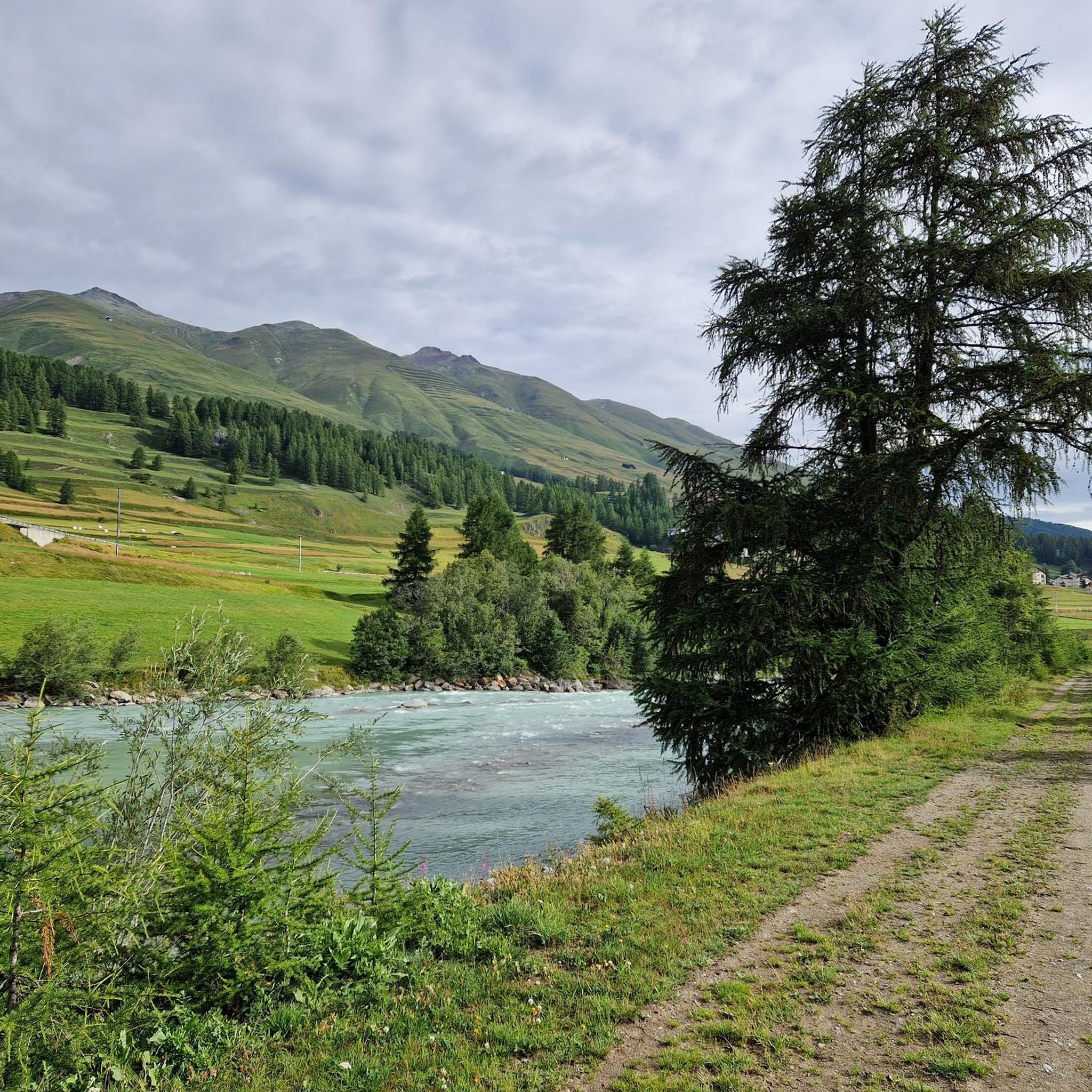
Road Cycling Routes around Zuoz
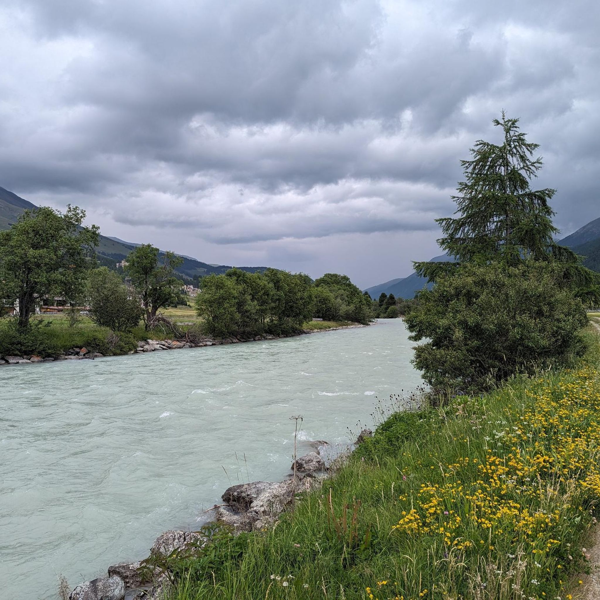
Road Cycling Routes around Madulain
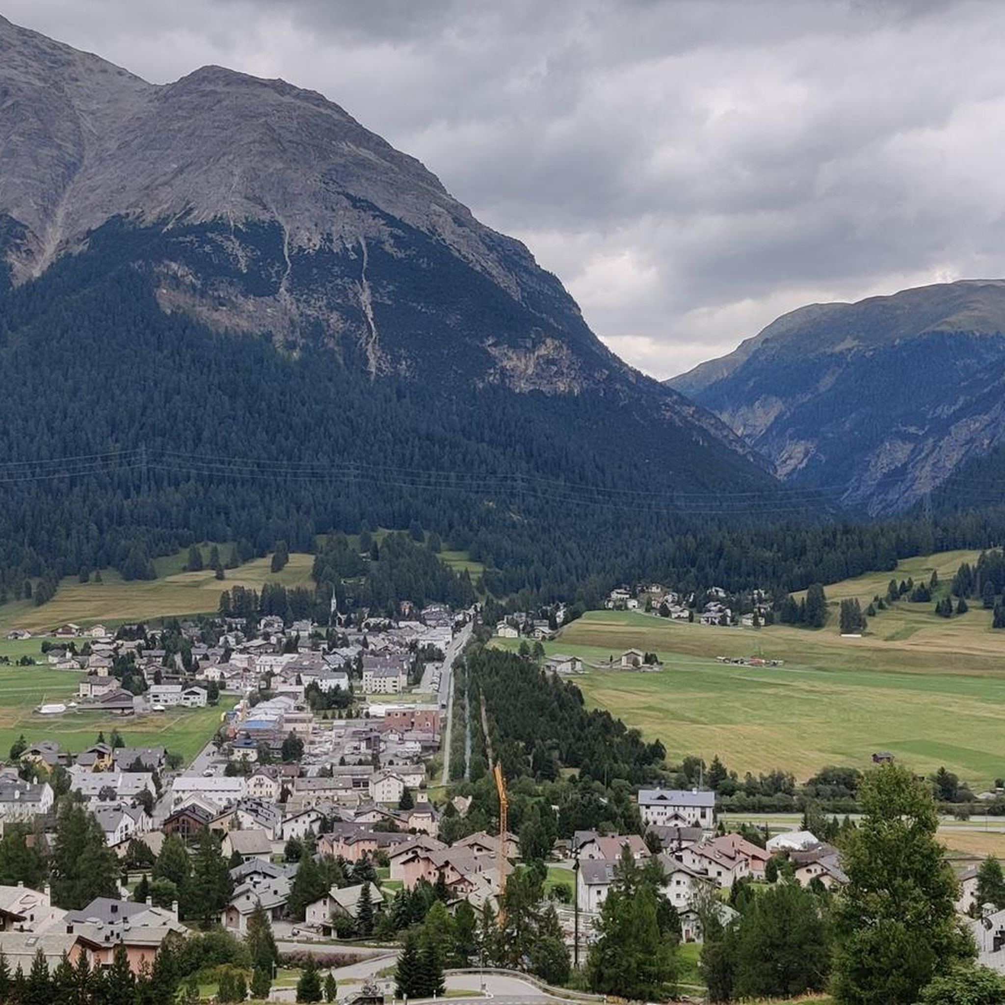
Road Cycling Routes around La Punt-Chamues-ch
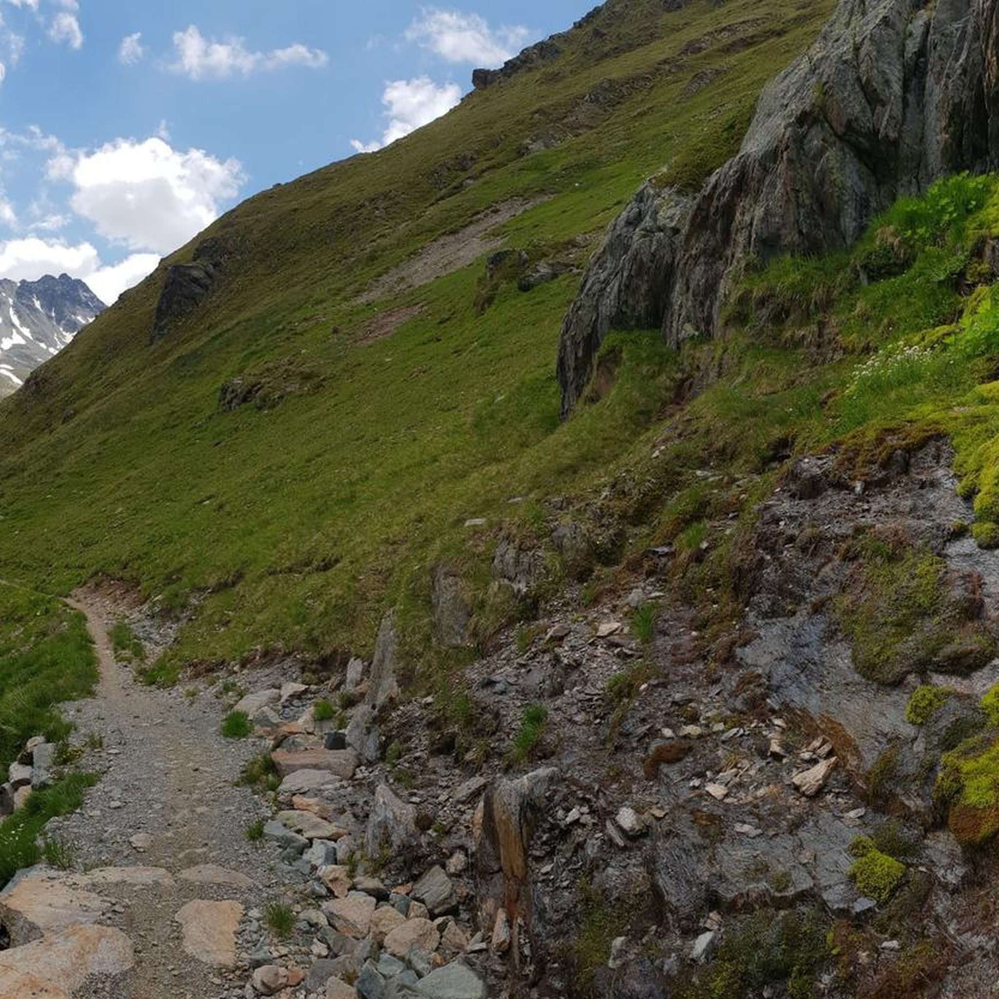
Road Cycling Routes around S-chanf
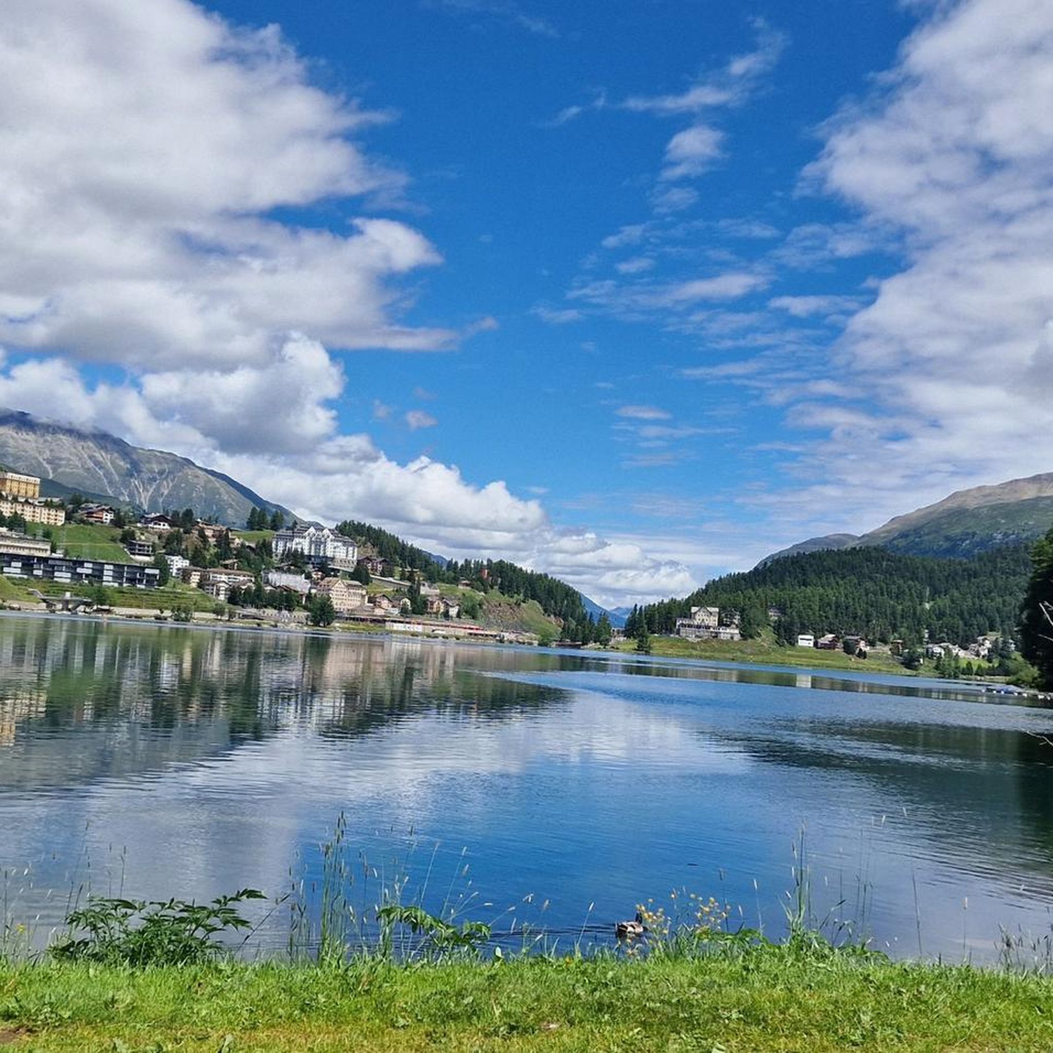
Road Cycling Routes around St Moritz
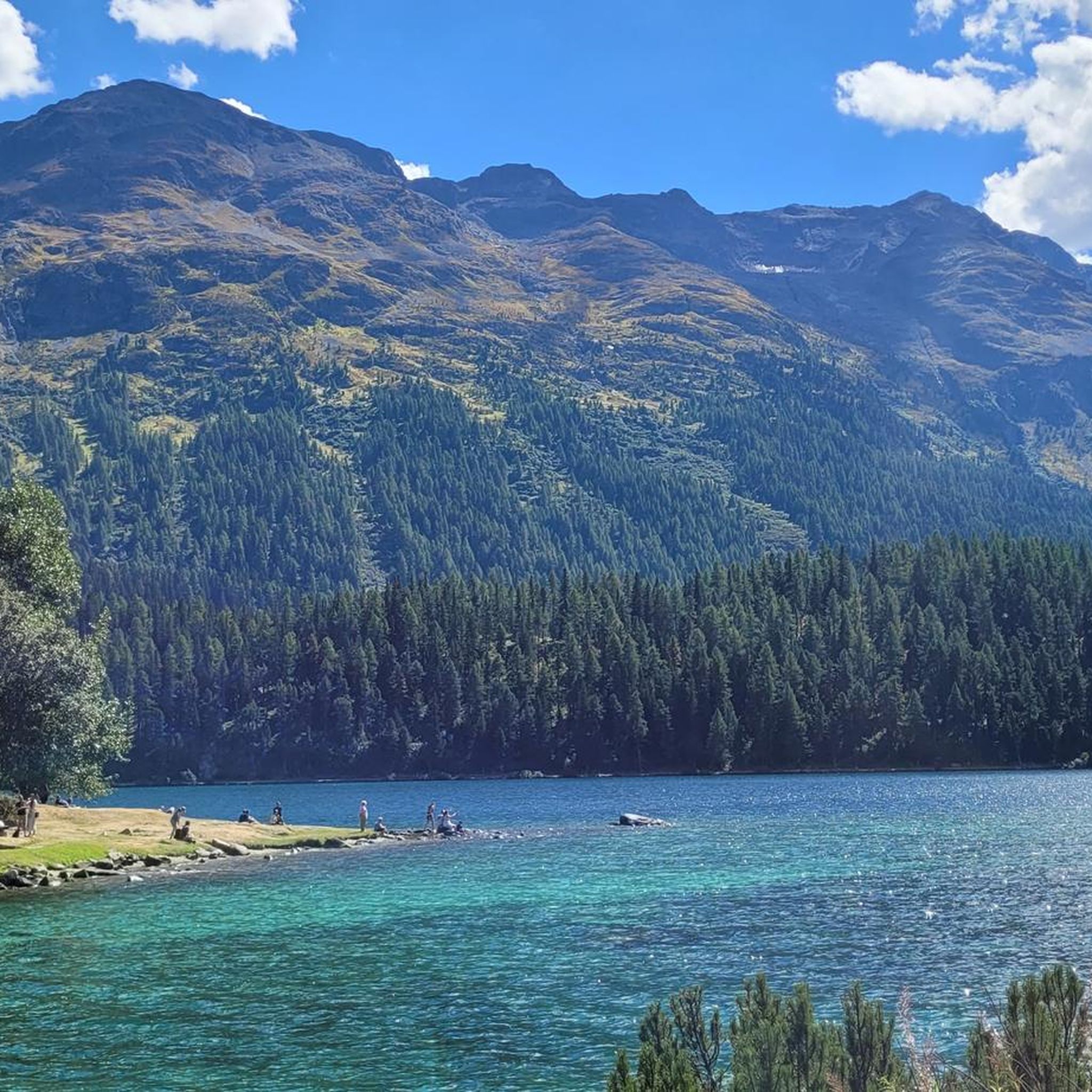
Road Cycling Routes around Lej da San Murezzan
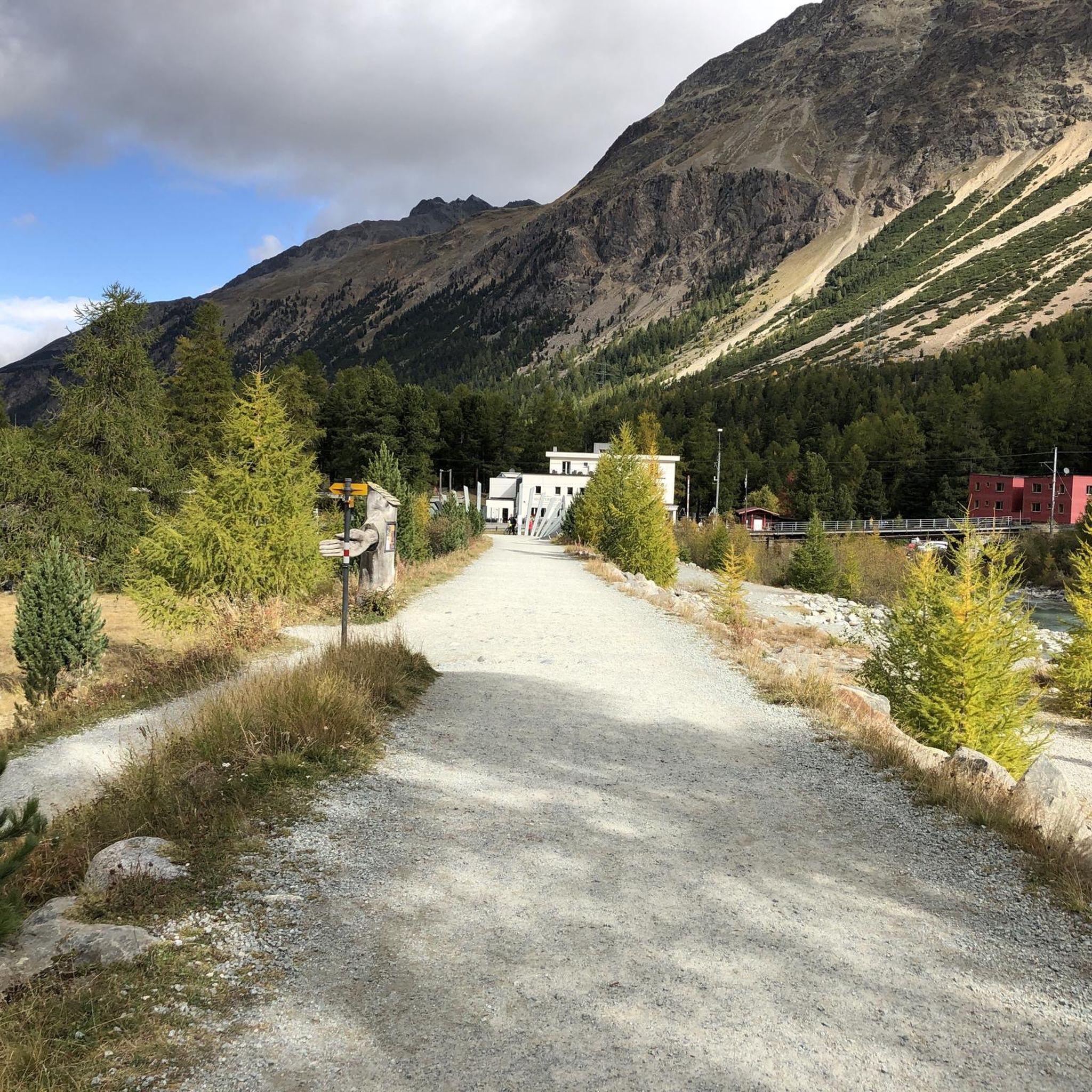
Road Cycling Routes around Pontresina
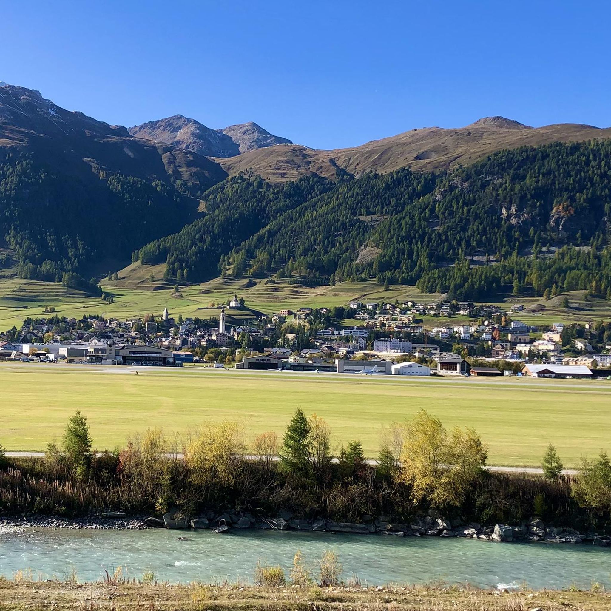
Road Cycling Routes around Samedan
Other adventures around Maloja


Tips from the Community

Morteratsch glacier reached its greatest extent in 1857 AD (after the Little Ice Age 13th/14th century - 19th century) up to 100m from the RhB stop, since then a constant retreat. However, as a tree find from 2018 (C4 + Dendrochronology) of a 10400 year old larch shows, that the glacier after the last ice age, (Pleistocene 20000-14000) at the beginning of the Holocene approx. 10000 years ago, the glacier retreated even further than today. Minimum was around 7000 years ago. Then the glacier grew again until max. 1857. The beginning of measurements was from 1915, since then it has continuously retreated. (around 20000 years ago it had connection to the Bernina and Inn glaciers, around 14000 years ago it reached Pontresina and in 1857 almost to the Rhb Morteratsch stop.
0
0

Julier Pass, History (Pass height 2284 m above sea level) The column remnants exactly at the summit of the Julier Pass and the finds of Roman coins nearby point to a very early use of this Alpine crossing. The Septimer Pass, a few kilometers to the west, which was however steeper and more avalanche-prone, can certainly be considered a competitor. What is certain is that both were used intensively in Roman times. The Julier even with two-wheeled carts. In the age of packhorse trains, the Julier increasingly lost importance because the topography at the Septimer Pass was hardly a factor and, moreover, the detour via the Engadin was not necessary. With the construction of a cart track over the Septimer (1387), the Julier was definitively left behind. The Julier remained important for access to the Upper Engadin and the Bernina Pass. The actual road construction over the Julier took place between 1820 and 1826. In this phase of history, the Julier retained "the upper hand" over the Septimer. On the one hand, topographical reasons were decisive, and on the other hand, the canton could not afford to ignore the Engadin. This was the first road construction project in which the canton acted as the client. In the second half of the 19th century, various route adjustments followed, which became necessary due to the increasing feeder traffic for the Upper Engadin health resorts. The opening of the Albula Line of the Rhaetian Railway in 1903 caused car traffic over the Julier to collapse again. When the Federal Council put pressure on the Graubünden government in 1923 for a car-suitable transit route, the canton opted for the Julier route. Between 1935 and 1940, the pass road was renovated and was the first Alpine crossing to receive an asphalt surface. Today, the Julier is the most important, year-round open, northern access to the Engadin. Text / Source: Interessengemeinschaft Alpenpässe IAP, Postfach 11, Realp https://www.alpen-paesse.ch/de/alpenpaesse/julierpass/
13
0
Already in the Roman Empire around 2,000 years ago Already in the Roman Empire around 2,000 years ago, the Julier Pass was of great importance. At the pass summit, two columns of a Roman sanctuary still stand today. Today, the pass road over the Julier is the most important road connection to the Engadin and is passable all year round. In the vicinity of the Julier, you will find numerous hiking and biking routes on which the landscape can be ideally explored. From the Julierhospitz (pass summit 2284 m above sea level), the exploration tour or hike to the clear mountain lake Leg Grevasalvas begins. Text / Source: Graubünden Ferien, Alexanderstrasse 24, Chur https://www.graubuenden.ch/de/ausflugsziele/julierpass
13
0

Sül Munt Baselgia e fin Lais da Macun
0
0

From Morteratsch and from Montebello, the view towards the Bernina massif is excellent.
0
0
Both from the Morteratsch valley and from Montebello, you can enjoy a magnificent view of glaciers and the Bernina massif.
0
0

Wonderful place of rest, in spring with a partially frozen lake
1
0
Wonderful, quiet floodplain landscape, although close to the road
0
0
Frequently Asked Questions
How many road cycling routes are available around Maloja, and what are their difficulty levels?
Maloja offers a wide range of road cycling routes, with over 50 options available. These include 15 easy routes, 23 moderate routes, and 14 difficult routes, catering to various fitness levels and preferences.
What kind of terrain can I expect when road cycling in Maloja?
The Maloja region features diverse terrain, from challenging high mountain passes like the iconic Maloja Pass with its famous 'Maloja Snake' section of thirteen switchbacks, to serene lakeside roads along Lake Sils and Lake Silvaplana. You'll encounter significant elevation changes, dense forests, and panoramic views throughout the Engadin and Bregaglia valleys.
Are there any particularly scenic road cycling routes in Maloja?
Absolutely. Many routes offer breathtaking scenery. For instance, the Lake Livigno – Bernina Pass loop from Cinuos-chel-Brail provides extensive climbs and stunning views of Lake Livigno and the Bernina Pass. Another popular option is the Maloja Pass – Silvaplana Market Square loop from Maloja Pass, which takes you alongside Lake Silvaplana.
What are some notable natural features or landmarks I can see along the road cycling routes?
The region is rich in natural beauty. You can cycle past stunning lakes like Lago Bianco, and experience the grandeur of mountain passes such as the Maloja Pass and Julier Pass. The routes also traverse picturesque valleys, offering views of snow-capped peaks and lush forests.
When is the best time of year for road cycling in Maloja?
The warmer months are generally the best for road cycling in Maloja, typically from late spring through early autumn. During this period, mountain passes are usually clear of snow, and the weather is more favorable for long rides, allowing you to fully enjoy the alpine scenery.
Are there any family-friendly road cycling options in Maloja?
While many routes involve significant elevation, Maloja does offer easier sections suitable for families. Lakeside roads, particularly around Lake Sils and Lake Silvaplana, provide flatter terrain and picturesque settings for a more relaxed ride. Look for routes categorized as 'easy' within the region.
Are there circular road cycling routes available in Maloja?
Yes, Maloja features many excellent loop trails. For example, the Bergün – Julier Pass loop from Pontresina is a challenging circular route traversing high mountain passes. For a moderate option, consider the Silvaplana Market Square – Maloja Pass loop from Pontresina.
What do other road cyclists enjoy most about road cycling in Maloja?
The area is highly rated by the komoot community, with an average score of 4.6 stars from over 190 reviews. Cyclists often praise the challenging mountain passes, the serene lakeside roads, and the breathtaking panoramic views of the Swiss Alps. The diverse terrain caters to various skill levels, making it a popular destination for many.
Can I find routes that include the famous Maloja Pass?
Yes, the Maloja Pass is a central feature of many routes. A popular moderate option is the Maloja Pass – Silvaplana Market Square loop from Maloja Pass. For a more challenging experience, the View of the Bernina Pass – Bernina Pass loop from Passo della Maloja - Malojapass 1815 m also incorporates parts of the Maloja Pass area.
Are there any moderate difficulty routes that offer a good balance of challenge and scenery?
Certainly. The Bernina Pass – View of the Bernina Pass loop from St. Moritz is a moderate route offering beautiful views. Another great choice is the Bever – Entrance to St. Moritz loop from Zuoz, which provides a good workout with scenic surroundings.
What are some longer, more challenging road cycling routes in the Maloja region?
For experienced cyclists seeking a significant challenge, the Silvaplana Market Square – Maloja Pass loop from La Punt Chamues-ch is a difficult route covering over 120 km with substantial elevation gain. Another demanding option is the Bergün – Julier Pass loop from Pontresina, which is over 100 km long and features high mountain passes.
Most popular routes around Maloja
Most popular attractions around Maloja

Get inspired with the komoot mobile app


Didn’t find what you were looking for?
Check out more Road cycling routes throughout Maloja below and find the perfect route in your destination.
Explore more
Browse the best Road cycling routes in other regions.
