The best mountain hikes around Bastheim
3.0
(3)
11
hikers
2
hikes
Mountaineering routes around Bastheim are situated within the Rhön Biosphere Reserve, characterized by its rolling hills, forested ridges, and open plateaus. The region features moderate elevations, with prominent peaks like the Kreuzberg offering significant ascents and panoramic views. Mountaineers can expect a landscape shaped by ancient volcanic activity, providing varied terrain for exploration.
Best mountaineering routes around Bastheim
- The most popular mountaineering route is Marienbrünnlein – Kreuzberg Summit loop from Unterweißenbrunn, an 8.5 miles (13.6 km) trail that takes…
Last updated: July 2, 2026
5.0
(2)
6
hikers
13.6km
04:12
490m
490m
Moderate mountaineering route. Good fitness required. Easily-accessible paths. Suitable for all skill levels.
2
hikers
Moderate mountaineering route. Good fitness required. Easily-accessible paths. Suitable for all skill levels.

Sign up for free
2
hikers
Moderate mountaineering route. Good fitness required. Easily-accessible paths. Suitable for all skill levels.
1.0
(1)
1
hikers
Moderate mountaineering route. Good fitness required. Easily-accessible paths. Suitable for all skill levels.
Our route recommendations are based on thousands of hikes, rides, and runs completed by other people on komoot.
Start today with a free account
Your next adventure awaits.
Login or Signup
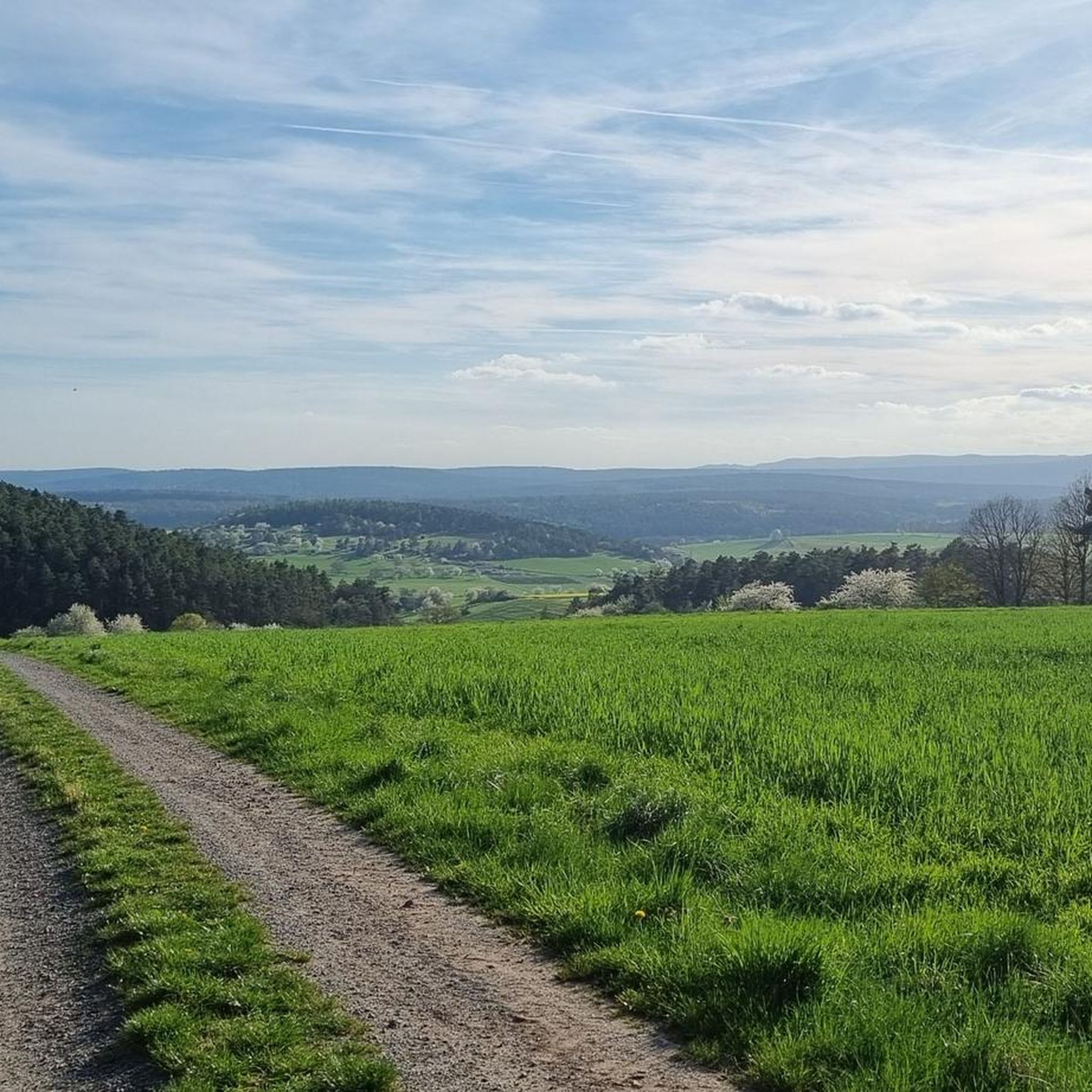
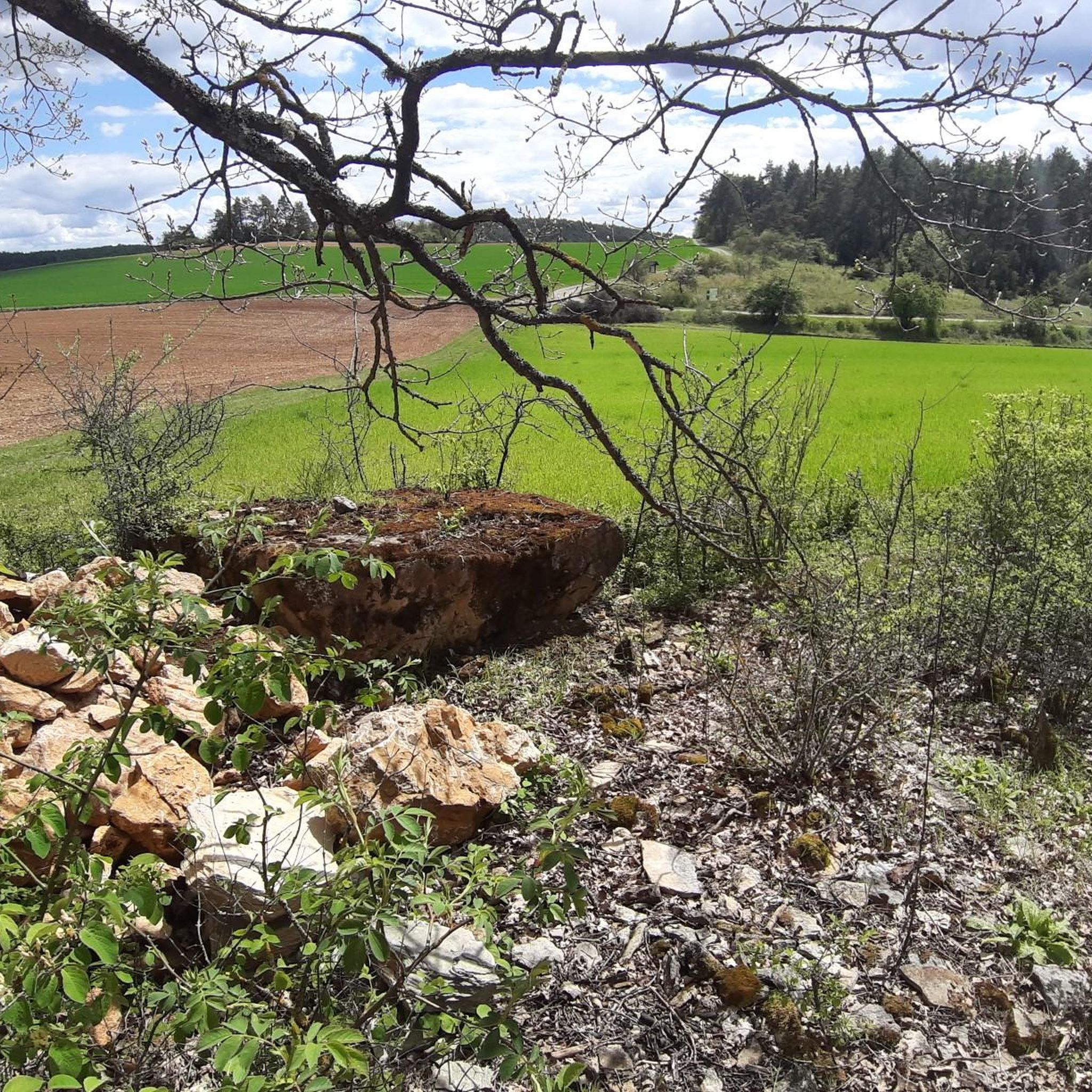
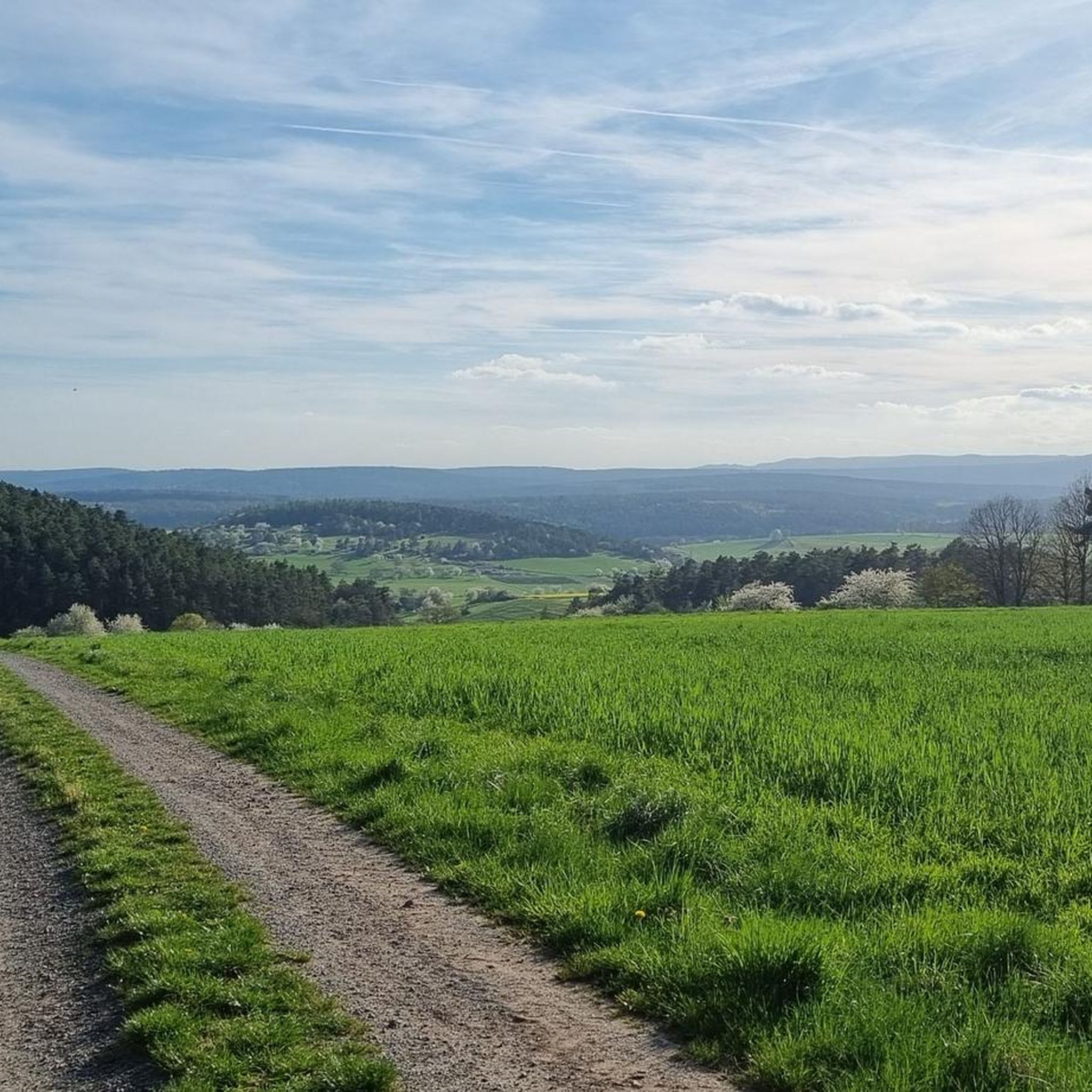
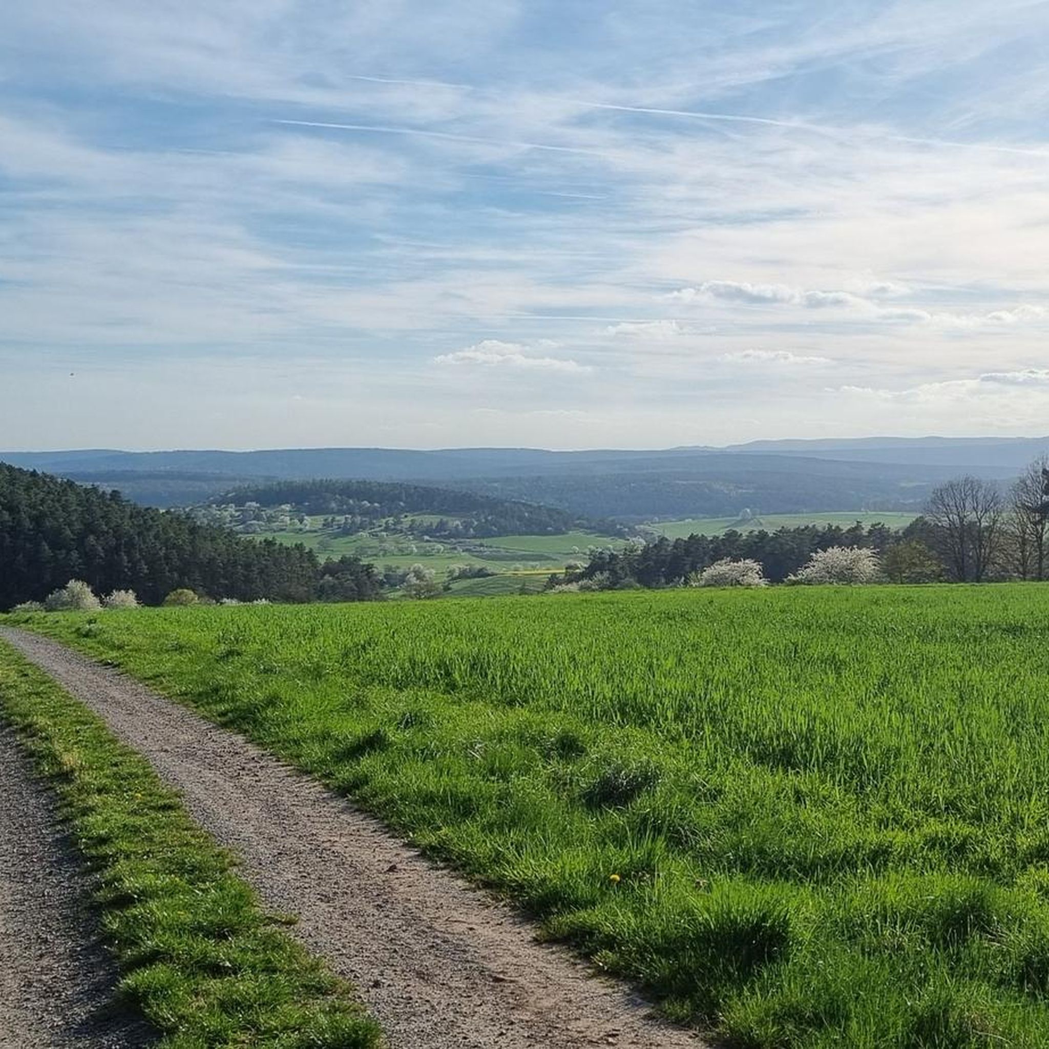
Tips from the Community

Great view from the Osterburg
0
0


You can stop by
3
0

Really nice and quiet in the morning. From 12pm onwards it is often very busy.
1
1

This small fountain is located on the way down from Kreuzberg to Neustädter Haus.
0
0

Very nice town with town hall.
5
0

Frequently Asked Questions
What is the general difficulty level of mountaineering routes around Bastheim?
The mountaineering routes in the Bastheim area are primarily suited for moderate ability levels. You'll find trails with significant ascents and descents, but they are generally manageable for those with a good level of fitness. For example, the Marienbrünnlein – Kreuzberg Summit loop from Unterweißenbrunn involves nearly 500 meters of elevation gain over 13.6 km.
Are there any circular mountaineering routes in Bastheim?
Yes, many of the mountaineering routes around Bastheim are circular, allowing you to start and end at the same point. A popular option is the View from the summit of Kreuzberg – Kreuzberg Monastery loop from Bischofsheim in der Rhön, which offers panoramic views and passes a historic monastery.
What kind of terrain can I expect on mountaineering trails in the Rhön Biosphere Reserve?
The Rhön Biosphere Reserve, where Bastheim is located, features a diverse landscape shaped by ancient volcanic activity. You can expect rolling hills, dense forested ridges, and expansive open plateaus. The trails often combine these elements, providing varied terrain for exploration.
Are there any historical sites or landmarks to see along the mountaineering routes?
Absolutely! The region is rich in history. For instance, the Osterburg castle ruins – Kreuzberg Monastery loop from Bischofsheim in der Rhön takes you past the impressive Osterburg castle ruins and the historic Kreuzberg Monastery. You can also visit the Jagdschloss Holzberghof, a former hunting lodge, or enjoy views from the Bergwachthütte.
What is the best time of year for mountaineering around Bastheim?
The Rhön Biosphere Reserve is beautiful year-round, but for mountaineering, late spring through early autumn (May to October) generally offers the most favorable conditions with pleasant temperatures and clear paths. During these months, the landscape is vibrant, and views from summits like Kreuzberg are often unobstructed.
Are there any places to eat or drink near the mountaineering trails?
Yes, you'll find options for refreshments. The Kreuzberg Monastery, a prominent landmark on several routes, is known for its brewery and restaurant. Additionally, you might encounter traditional huts like the Gemündener Hut or the Thuringian Hut, which often offer food and drinks.
What should I wear for mountaineering in the Bastheim area?
Given the varied terrain and potential for changing weather in the Rhön, it's advisable to wear sturdy, waterproof hiking boots with good ankle support. Layered clothing is recommended, including a waterproof and windproof outer shell, even in summer. Don't forget sun protection, a hat, and plenty of water.
How many mountaineers have explored the Bastheim routes using komoot?
Over 11 mountaineers have already used komoot to explore the varied terrain around Bastheim, sharing their experiences and helping to build a comprehensive guide for the region.
Are there any long-distance mountaineering options near Bastheim?
While the routes listed here are day hikes, the Rhön Biosphere Reserve is part of a larger network of trails. The longest route highlighted in this guide is the View from the summit of Kreuzberg – Kreuzberg Monastery loop from Bischofsheim in der Rhön, covering nearly 15 km with significant elevation changes, offering a substantial challenge.
What do other mountaineers enjoy most about the routes in Bastheim?
The mountaineering routes in Bastheim are highly rated by the komoot community, with an average score of 3.0 stars. Reviewers often praise the panoramic views from summits like Kreuzberg, the peaceful forested sections, and the combination of natural beauty with historical sites like the monasteries and castle ruins.
Can I find routes that offer significant elevation gain for a challenging workout?
Yes, the region around Bastheim, particularly around the Kreuzberg, offers routes with notable elevation gain. The Osterburg castle ruins – Kreuzberg Monastery loop from Bischofsheim in der Rhön, for example, features over 500 meters of ascent, providing a good challenge for mountaineers.
Most popular routes around Bastheim
Most popular attractions around Bastheim

Get inspired with the komoot mobile app


Explore more
Browse the best Mountain Hikes & Routes in other regions.
